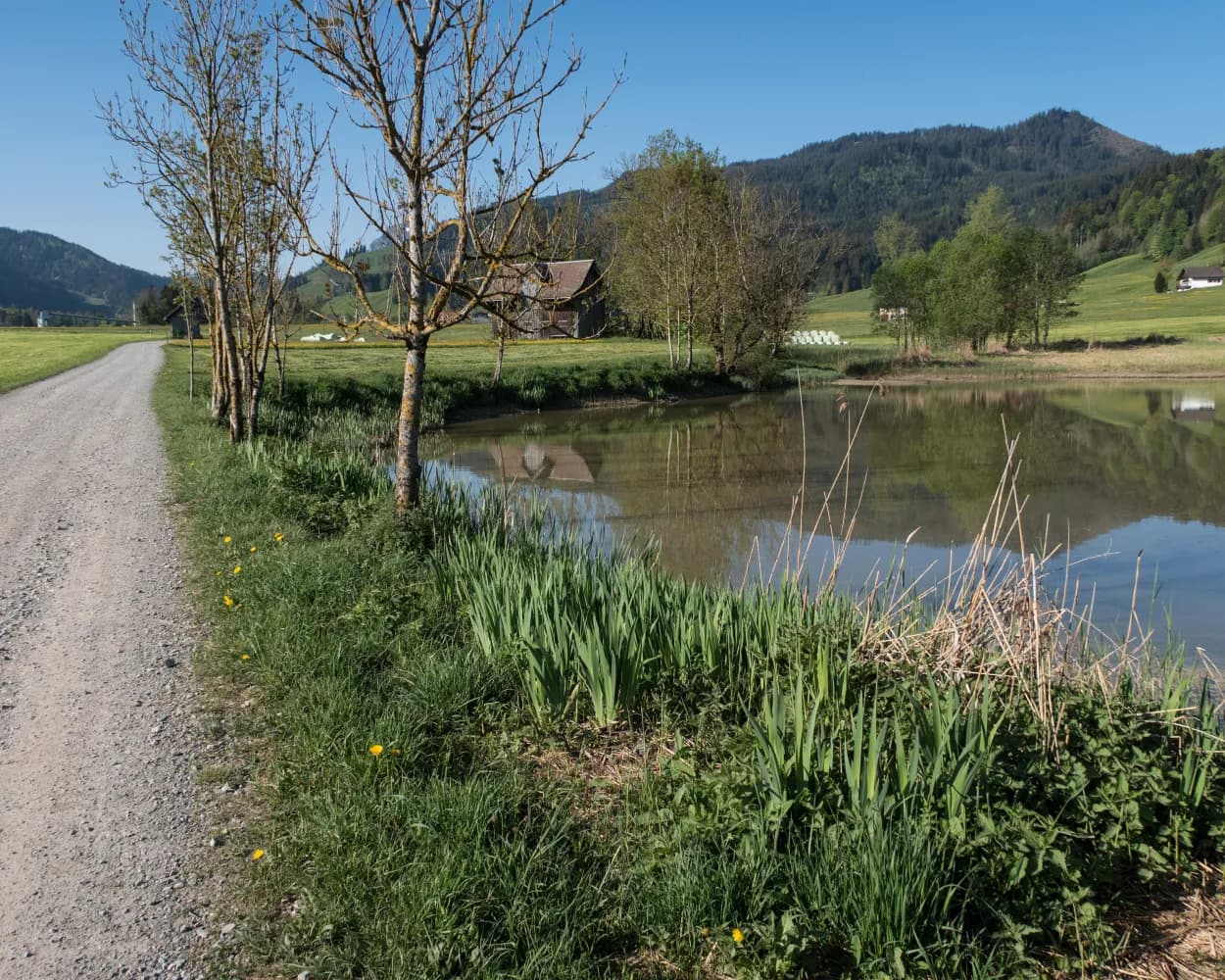
Discover a variety of hiking trails accessible by public transport from Einsiedeln, a town known for its magnificent Benedictine Abbey. From pilgrimage routes like the ViaJacobi to panoramic paths offering views of the Glarner Alps and Lake Zurich, these hikes showcase the diverse landscapes of central Switzerland. Whether you're looking for a challenging mountain ascent or a leisurely walk through blooming orchards, there's a trail for every hiker.
The following hikes are sorted by travel time from Einsiedeln, making it easy to plan your next outdoor adventure. Check out the map to explore thousands of destinations and activities, reachable from any starting point in Switzerland.
Much more on ovunta.com/en/map
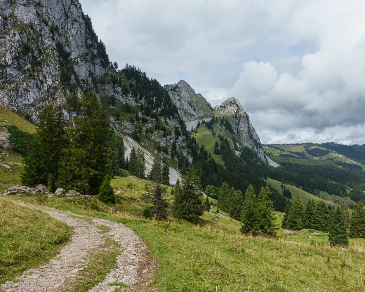
The ridge hike offers spectacular views of Central Switzerland's lake and mountain scenery. With the Mythen at your back and the Einsiedeln monastery as your destination, you hike through the Ibergeregg nature reserve. In its moorlands, rare orchid varieties and butterflies can be observed.
 19 km
19 km 860 m
860 m 1400 m
 6h 10m
Tour published by:
SwitzerlandMobility
Learn more on
schweizmobil.ch
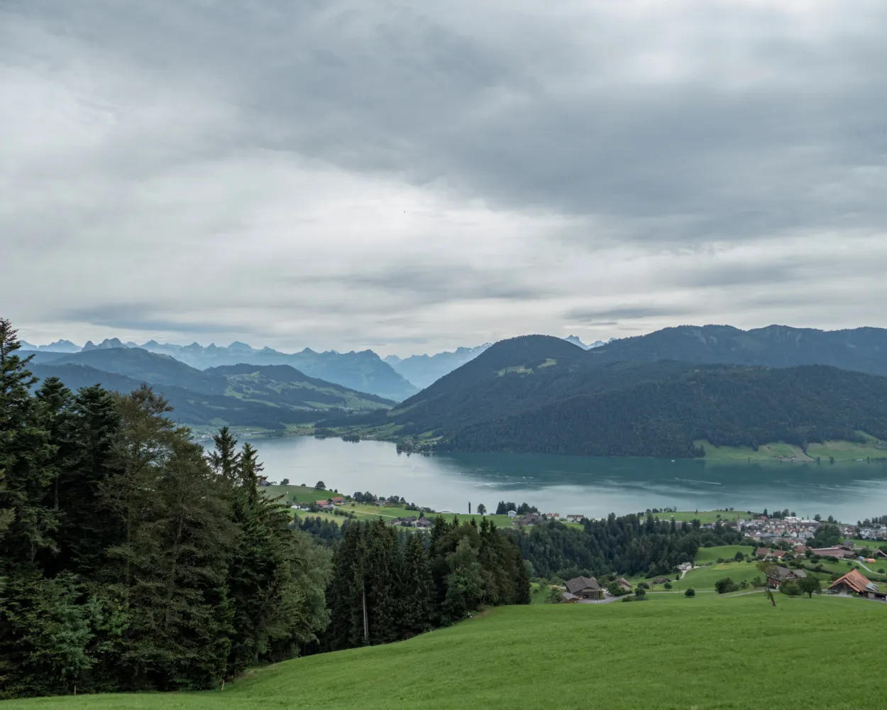
This varied pre-alpine tour leads from the famous monastery village of Einsiedeln along an old pilgrims' path over the Chatzenstrick to the almost equally famous high moor of Rothenthurm, continuing across the Raten to the lovely Aegeri lake in the canton of Zug.
19 km720 m860 m5h 25m
Landscape: With panoramic views,Over a pass
Tour published by:
SwitzerlandMobility
Learn more on
schweizmobil.ch
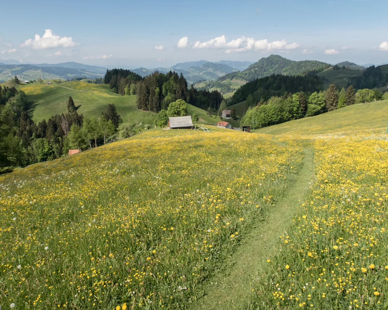
The ViaJacobi leads from the Bodensee to Genève as part of the European Jakobsweg (Route of St. James). Lined by churches, monasteries and chapels, it offers a fabulous hiking experience along historic paths through a diverse cultural landscape.
450 km11900 m11800 mLandscape: With panoramic views
Tour published by:
SwitzerlandMobility
Learn more on
schweizmobil.ch
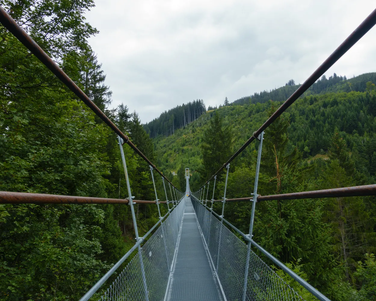
The Schwyzer Panoramaweg is characterized by three history-steeped mountains: the Rigi, Rossberg and Mythen. Spectacular scenery and views deep into the valleys of Switzerland’s founding canton as well as of the Zugersee and Vierwaldstättersee lakes.
62 km4200 m3800 mLandscape: With panoramic views
Tour published by:
SwitzerlandMobility
Learn more on
schweizmobil.ch
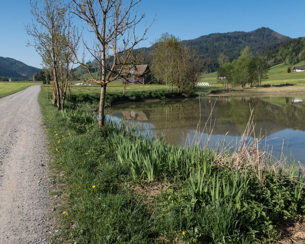
The trail over Haggenegg leads through the beautiful high valley of Alp towards the two Mythen peaks. The stately Au Convent and panoramic views of the Glarner Alps and the valley basin of Schwyz and Brunnen are feasts for the eyes.
19 km600 m950 m5h 35mLandscape: With panoramic views
Tour published by:
SwitzerlandMobility
Learn more on
schweizmobil.ch
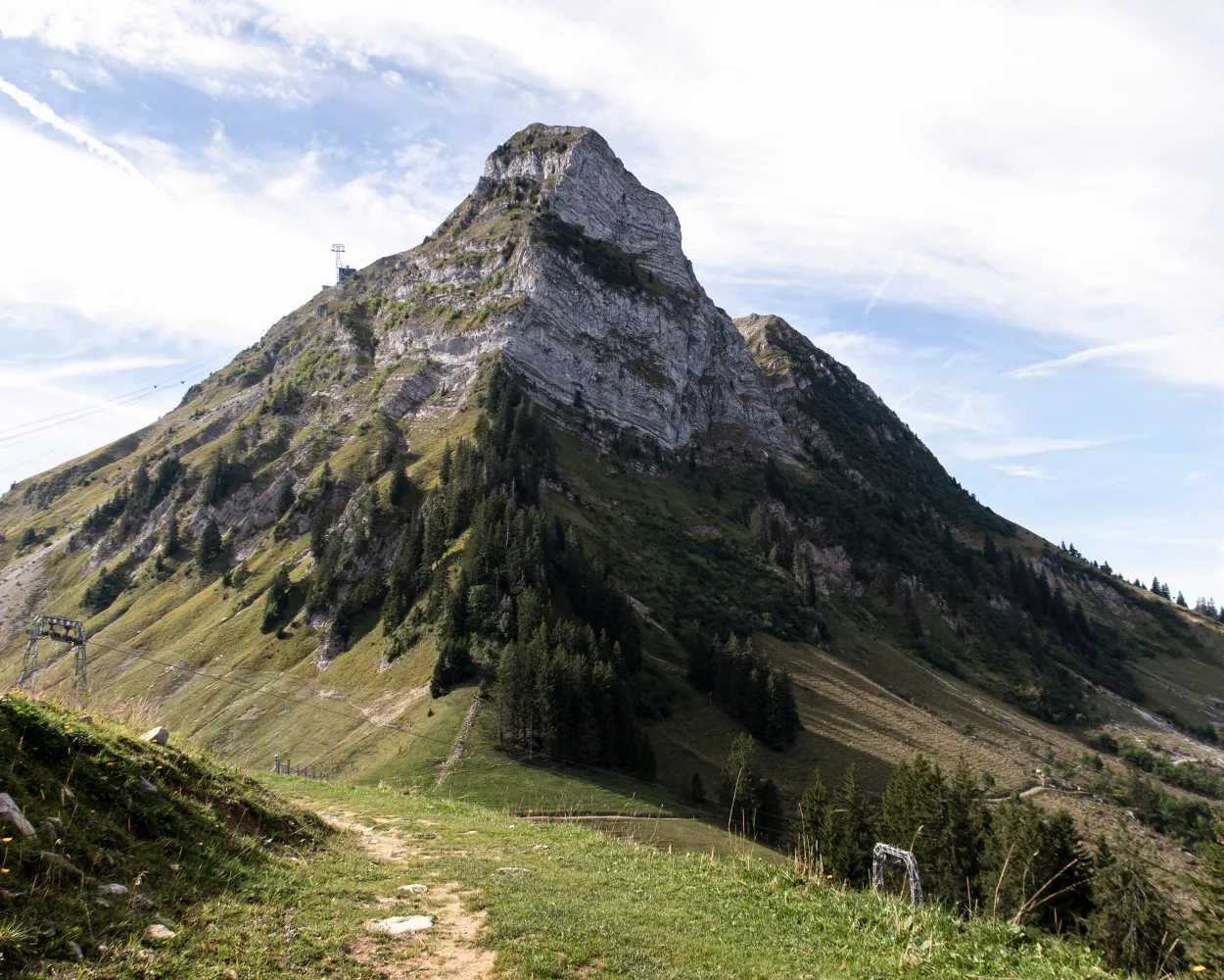
The Alpine Panorama Trail from Bodensee to Lac Léman promises many views of Alpine peaks as well as of the Mittelland and Jura. The route leads through the traditional agricultural landscape of the Alpine foothills, still dominated by milk and cheese production.
510 km17800 m17800 mLandscape: With panoramic views,Over a pass,Onto an alp,Onto a mountain peak
Tour published by:
SwitzerlandMobility
Learn more on
schweizmobil.ch
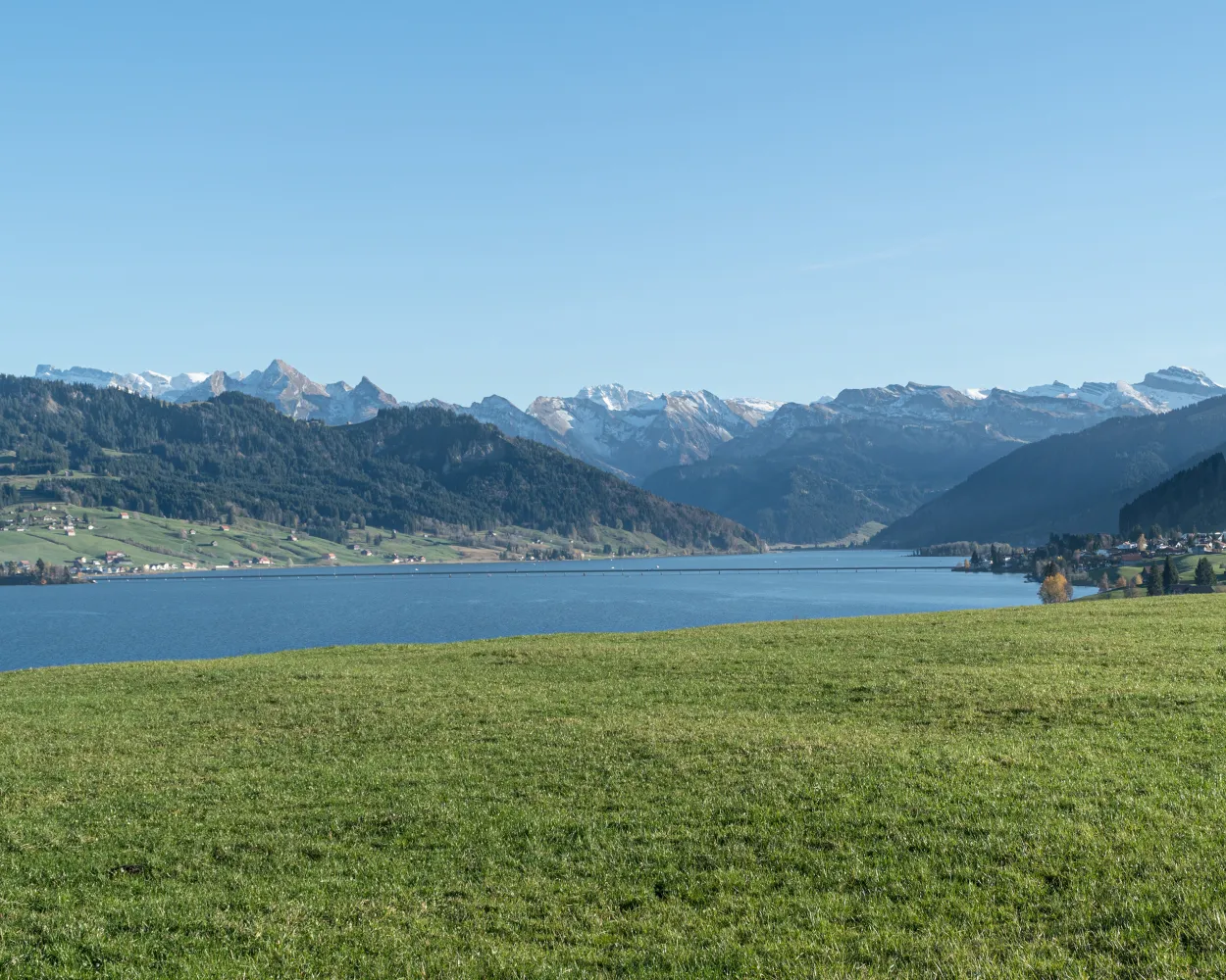
A tough climb to Stöcklichrüz and a superb high-level hike around the northern end of Sihlsee lake to Einsiedeln. The St. Meinrads Chapel on Etzelpass and the house where Paracelsus was born are popular resting places, not just for pilgrims.
23 km1100 m680 m7h 0mTour published by:
SwitzerlandMobility
Learn more on
schweizmobil.ch
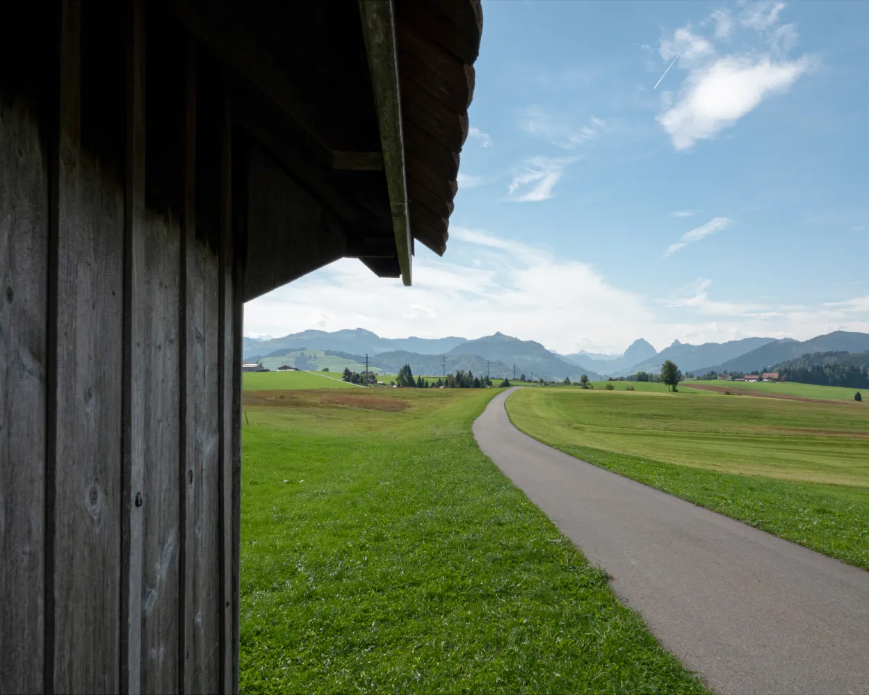
The hike leads over Switzerland's longest wooden footbridge from Rapperswil to Hurden and across the Etzel Pass to Einsiedeln. On the way to this important pilgrimage site, the views of Lake Zurich are splendid.
17 km780 m300 m5h 0mTour published by:
SwitzerlandMobility
Learn more on
schweizmobil.ch
| 555 (2m) | |
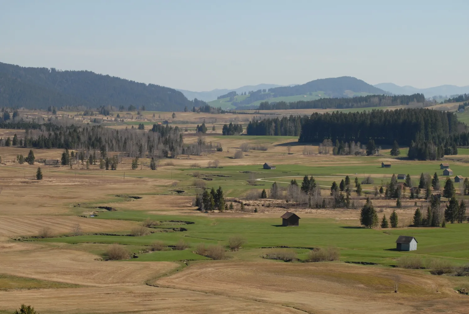
The high valley of the «Biber» is the plain between Rothenthurm and Biberbrugg in Central Switzerland. It is a highmoor area of national significance and of outstanding beauty. The Moortrail leads through this remarkable landscape.
10 km260 m150 m2h 45mLandscape: With panoramic views
Tour published by:
SwitzerlandMobility
Learn more on
schweizmobil.ch
The landscape surrounding Lake Zurich is not only one of the world’s most prestigious areas to dwell, but in addition a greatly contrasting hikers’ paradise that cradles a multitude of pleasant surprises: historical towns and villages, unspoilt shorelines, woods, bubbling streams and a variety of restaurants.
130 km2900 m2900 mLandscape: Along the water
Tour published by:
SwitzerlandMobility
Learn more on
schweizmobil.ch
| S40 (10m) | |



