
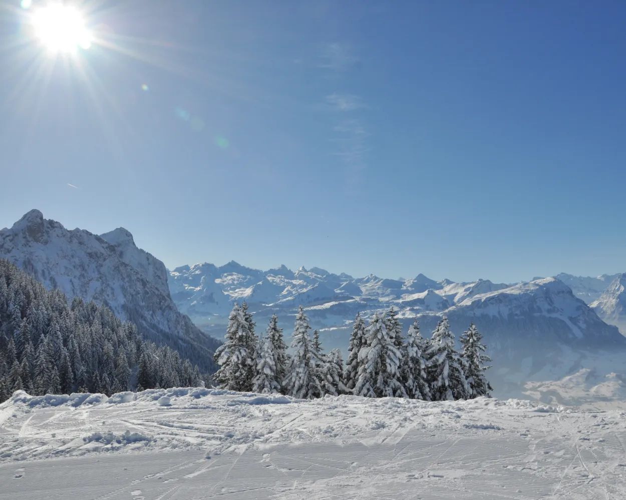
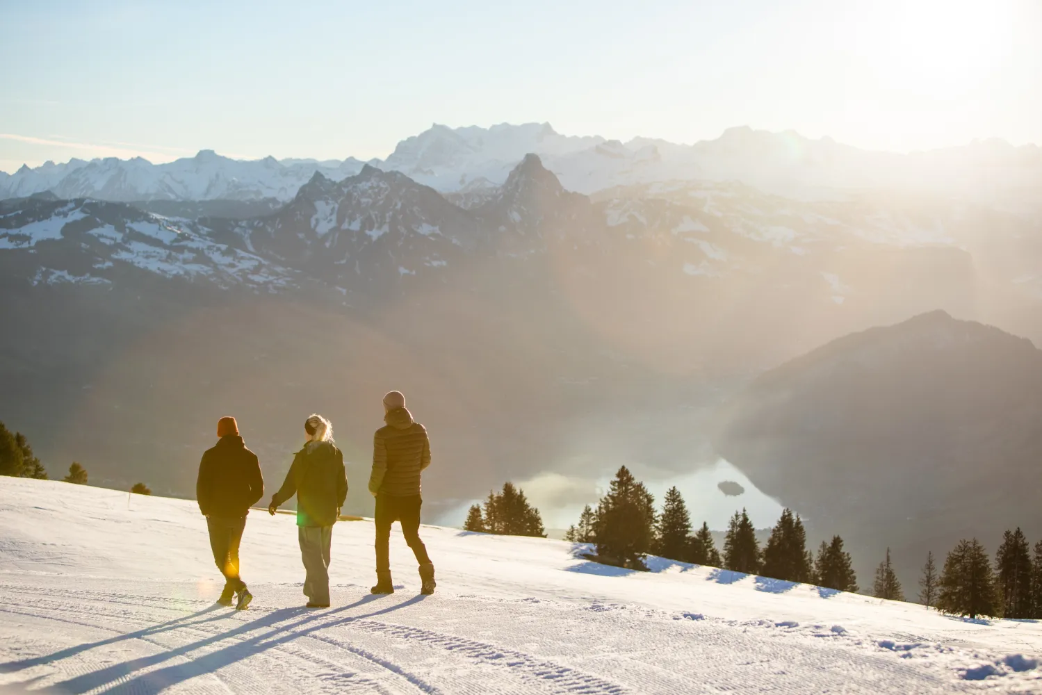
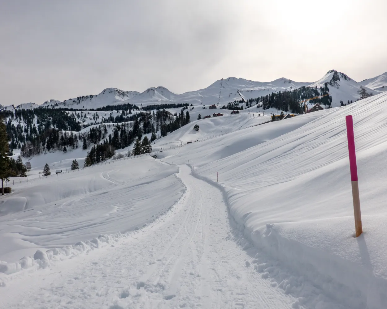
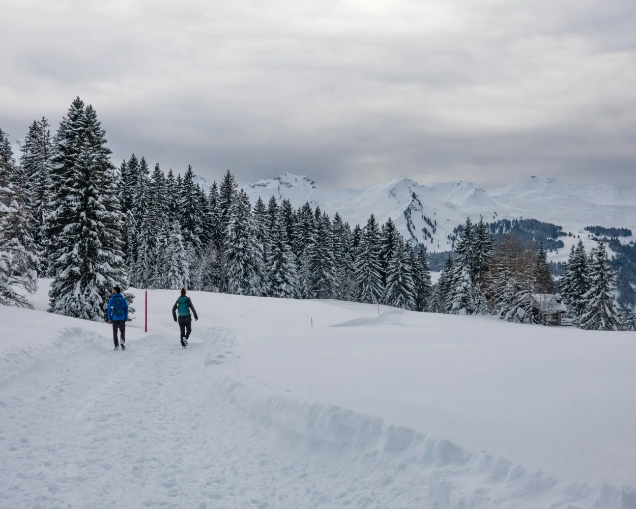
Relaxed or more challenging: these winter hikes are all reachable from Einsiedeln by public transport. From easy panoramic walks to longer alpine routes, there’s something for every level of winter hiker.
The destinations below are sorted by travel time from Einsiedeln to make planning easier. Be sure to check the map to explore all winter hikes and thousands of other outdoor activities reachable from any starting point in Switzerland.
Much more on ovunta.com/en/map
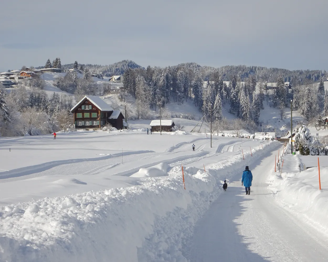
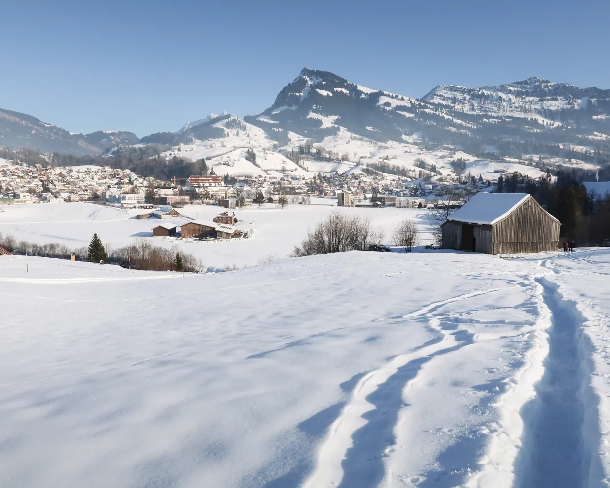
Combining the contemplation and baroque splendour of Einsiedeln Abbey with the wintry hush and scenic beauty of Lake Sihl, this panoramic hike also offers views of the Etzel and the Ybrig mountains.
 8 km
8 km 140 m
140 m 140 m
140 m 2h 40m
Landscape: With panoramic views,Through a Swiss Park
Tour published by:
SwitzerlandMobility
Learn more on
schweizmobil.ch
| Einsiedeln, Bahnhof (08:37) | |
| 556 (2m) | |
| Einsiedeln, Brüel (08:39) |
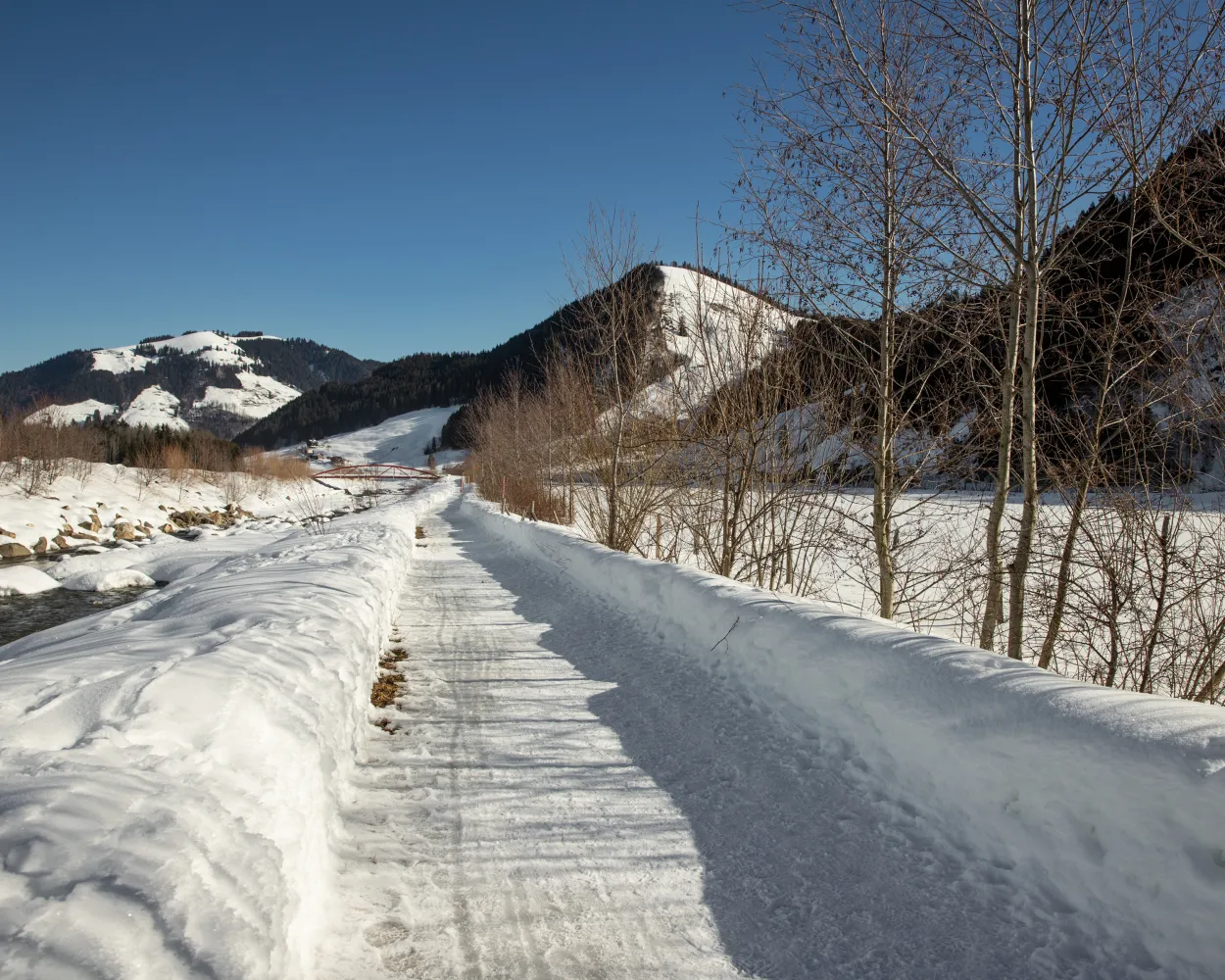
Water and a view of the mountains are the main features of this hike, which leads over bridges and along rivers and streams to Lake Sihl – always surrounded by the mountains of the Sihl Valley and Ybrig.
14 km130 m130 m4h 15mTour published by:
SwitzerlandMobility
Learn more on
schweizmobil.ch
| Einsiedeln, Bahnhof (08:37) | |
| 556 (17m) | |
| Euthal, Höhport (08:54) |
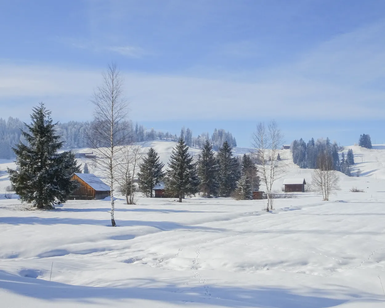
On this winter hiking trail, you can escape the fog and enjoy the mystical mood in the open landscape of the upland moor, the largest in Switzerland. It lies in a high valley where the Biber river flows in its natural bed.
7 km50 m50 m2h 5mTour published by:
SwitzerlandMobility
Learn more on
schweizmobil.ch
| Einsiedeln (08:45) | |
| S40 (6m) | |
| Biberbrugg (08:51) |
| Biberbrugg, Bahnhof (09:10) | |
| 507 (7m) | |
| Rothenthurm, Erste Altmatt (09:17) |
The gorgeous winter hiking trail follows the historic “Alter Schwyzerweg”, which was built in the 14th century to provide the shortest connection between Yberg and Schwyz. The area is shaped by moorland landscapes, Alpine meadows and a striking mountain backdrop.
4 km60 m380 m1h 25mTour published by:
SwitzerlandMobility
Learn more on
schweizmobil.ch
| Einsiedeln, Bahnhof (09:03) | |
| 555 (35m) | |
| Hoch-Ybrig, Talst. Laucheren (09:38) |
A revolving gondola, a foot suspension bridge and a spectacular view of the Schwyz basin, the surrounding mountains and lakes – the Engelstock Circuit Trail offers a leisurely hike full of variety.
5 km220 m220 m1h 50mTour published by:
SwitzerlandMobility
Learn more on
schweizmobil.ch
| Einsiedeln (08:45) | |
| S40 (6m) | |
| Biberbrugg (08:51) |
| Biberbrugg, Bahnhof (09:10) | |
| 507 (18m) | |
| Sattel, Talstation (09:28) |
| Sattel (Talstat. Hochstuckli) (09:31) | |
| GB (8m) | |
| Sattel Mostelberg (Bergstat.) (09:39) |

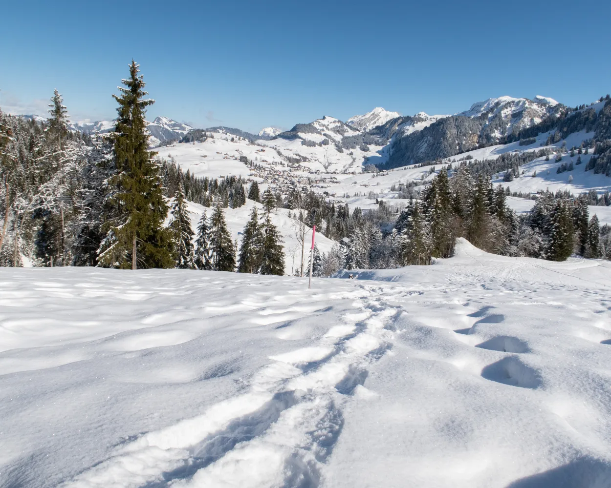
Always an experience – the mighty Grosse Mythen and the view straight down to the basin of Schwyz, the area’s main town with its widely scattered settlements. A couple of breezy tips: Watch the paragliders take off from their launch site and let your eyes wander to Einsiedeln’s ski jumps on the way back.
2 km70 m70 m35mTour published by:
SwitzerlandMobility
Learn more on
schweizmobil.ch
| Einsiedeln (08:45) | |
| S40 (6m) | |
| Biberbrugg (08:51) |
| Biberbrugg, Bahnhof (09:10) | |
| 507 (30m) | |
| Schwyz, Zentrum (09:40) |
| Schwyz, Zentrum (09:49) | |
| 503 (4m) | |
| Rickenbach SZ, Rotenfluebahn (09:53) |
| Rickenbach SZ (Rotenfluebahn) (09:55) | |
| 2569 (15m) | |
| Rotenflue (Mythenregion) (10:10) |
This fascinating panorama trail follows the route of the old Rigi Scheidegg Railway on flat terrain as far as Unterstetten, then continues on a gentle incline to Rigi Scheidegg.
7 km220 m20 m2h 20mTour published by:
SwitzerlandMobility
Learn more on
schweizmobil.ch
| Einsiedeln (08:45) | |
| S40 (6m) | |
| Biberbrugg (08:51) |
| Biberbrugg, Bahnhof (09:10) | |
| 507 (9m) | |
| Rothenthurm, Bahnhof (09:19) |
| Rothenthurm (09:29) | |
| VAE (16m) | |
| Arth-Goldau (09:45) |
| Arth-Goldau RB (09:55) | |
| 81 (8m) | |
| Kräbel (10:03) |
| Kräbel (Talstation Scheidegg) (10:05) | |
| PB (6m) | |
| Rigi Scheidegg (10:11) |
The winter hiking trail at Stoos offers a leisurely alternative for those who want to escape the bustle of winter sports and find peace in the mountains of Central Switzerland.
4 km150 m150 m1h 25mLandscape: With panoramic views,Through a Swiss Park
Tour published by:
SwitzerlandMobility
Learn more on
schweizmobil.ch
| Einsiedeln (08:45) | |
| S40 (6m) | |
| Biberbrugg (08:51) |
| Biberbrugg, Bahnhof (09:10) | |
| 507 (30m) | |
| Schwyz, Zentrum (09:40) |
| Schwyz, Zentrum (09:45) | |
| 501 (9m) | |
| Schwyz, Stoosbahn (09:54) |
| Schwyz Stoosbahn (Talstation) (10:10) | |
| 2577 (7m) | |
| Stoos SZ (10:17) |
This winter hike across the high St. Karl and Oberberg plateaus guarantees some truly impressive views. Enjoy the mountains of central Schwyz as you pass snow-topped coniferous forests and craggy rock formations.
6 km360 m360 m2h 30mLandscape: With panoramic views,Through a Swiss Park
Tour published by:
SwitzerlandMobility
Learn more on
schweizmobil.ch
| Einsiedeln (08:45) | |
| S40 (6m) | |
| Biberbrugg (08:51) |
| Biberbrugg, Bahnhof (09:10) | |
| 507 (30m) | |
| Schwyz, Zentrum (09:40) |
| Schwyz, Zentrum (09:45) | |
| 501 (15m) | |
| Ried (Muotathal), Seilb.Illgau (10:00) |
| Ried (Muotathal) (Seilbahn) (10:05) | |
| PB (3m) | |
| Illgau (Luftseilbahn) (10:08) |
| Illgau Dorf (10:16) | |
| PB (7m) | |
| Oberberg St. Karl (10:23) |
Trudge downhill on the sunny side, through the enchanting, silent landscape of Wolzenalp. Views of the Alpstein and Toggenburg mountains are your constant companions along the groomed trail.
5 km60 m420 m1h 45mTour published by:
SwitzerlandMobility
Learn more on
schweizmobil.ch
| Einsiedeln (08:45) | |
| S40 (38m) | |
| Rapperswil SG (09:23) |
| Rapperswil SG (09:37) | |
| S4 (22m) | |
| Wattwil (09:59) |
| Wattwil, Bahnhof (10:06) | |
| 790 (19m) | |
| Nesslau-Neu St.Johann, Bahnhof (10:25) |


