
Discover a winter wonderland on these snowshoe hikes, all easily reachable from Einsiedeln by public transport. Snow-covered forests, wide alpine plateaus, and scenic routes offer memorable experiences in the heart of the Alps.
To make planning easier, the hikes below are sorted by travel time from Einsiedeln. Explore the map to find all snowshoe hikes and thousands of other outdoor activities accessible from anywhere in Switzerland.
Much more on ovunta.com/en/map
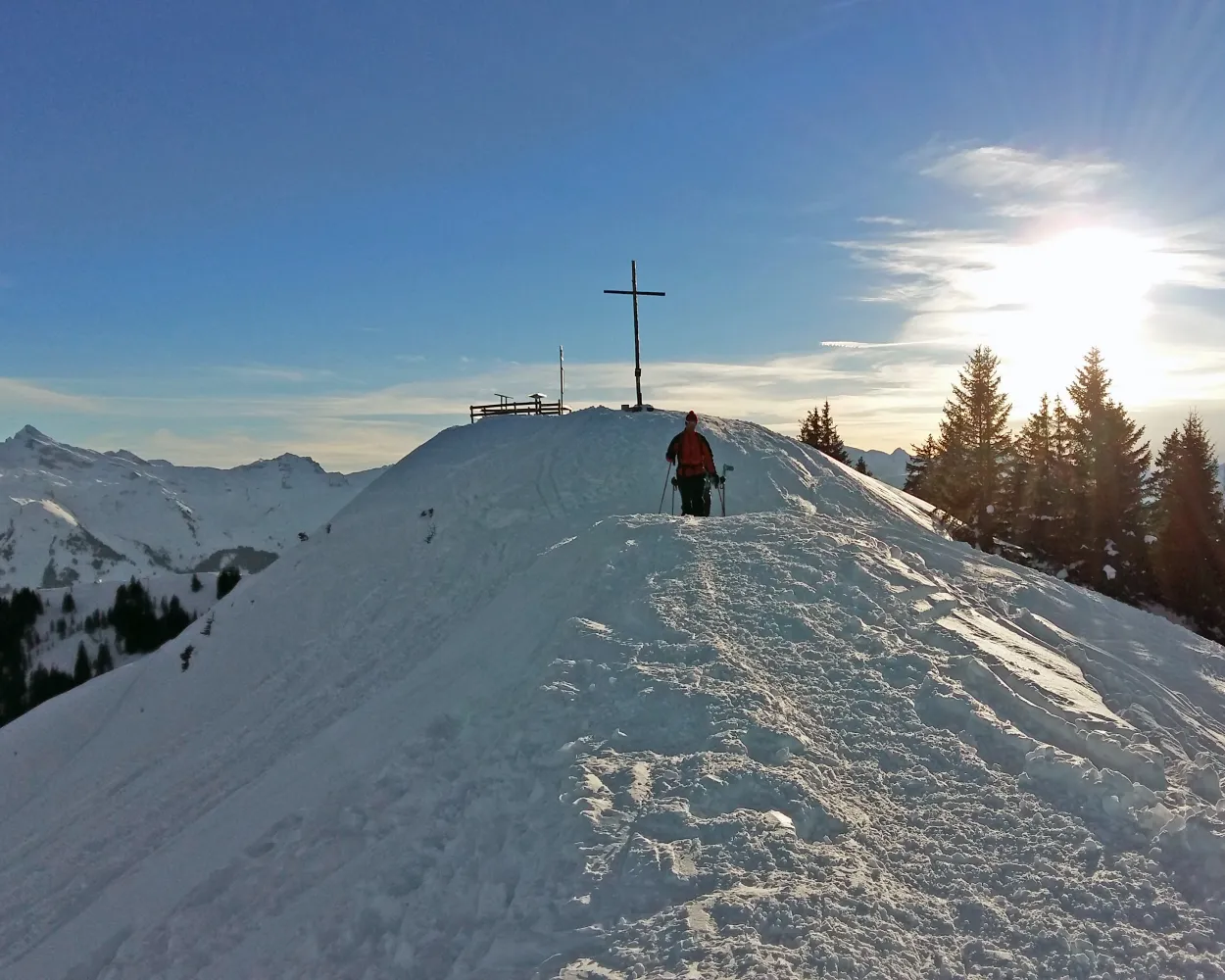
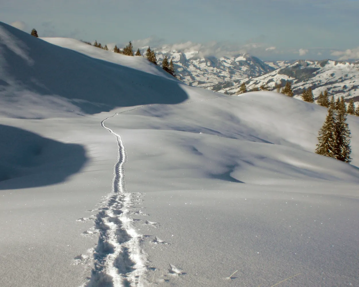
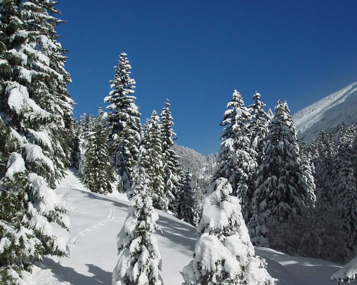
This snowshoe hike crosses remote yet busy areas, overseen in silence by the two Mythen peaks. It's well worth stopping along the way to admire the magnificent views of the Schwyz mountains and landscape.
 7 km
7 km 700 m
700 m 400 m
400 m 4h 25m
Landscape: Onto an alp,Onto a mountain peak,With panoramic views
Tour published by:
SwitzerlandMobility
Learn more on
schweizmobil.ch
| Einsiedeln, Bahnhof (08:37) | |
| 554 (14m) | |
| Brunni SZ, Rest. Brunni (08:51) |
You don't need to be in peak condition to enjoy this snowshoe hike through remote areas, but watch out: the view of the Chli Aubrig could whet your appetite for more challenging tours.
6 km220 m220 m2h 35mTour published by:
SwitzerlandMobility
Learn more on
schweizmobil.ch
| Einsiedeln, Bahnhof (08:37) | |
| 556 (17m) | |
| Euthal, Schulhaus (08:54) |
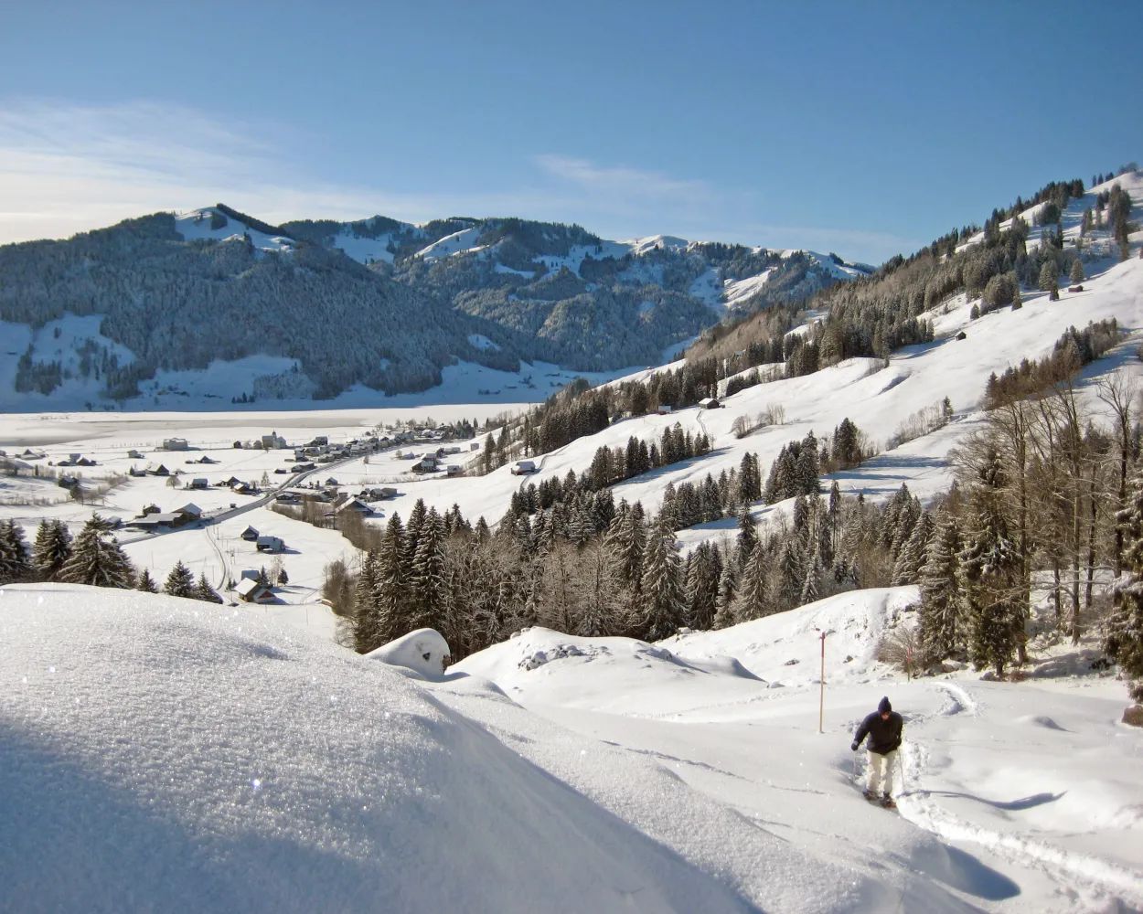
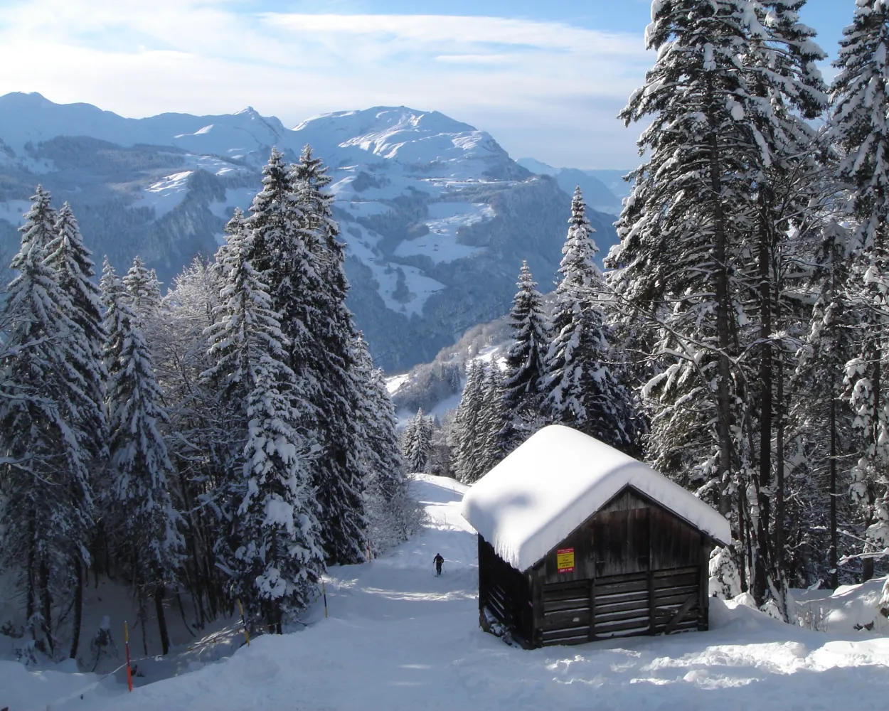
Bridges and views are the stars of this snowshoe trail. Along the way, hikers can take off their snowshoes and enjoy a special experience: the foot suspension bridge in Sattel-Hochstuckli.
10 km640 m640 m5h 20mLandscape: With panoramic views,Over a suspension bridge
Tour published by:
SwitzerlandMobility
Learn more on
schweizmobil.ch
| Einsiedeln (08:45) | |
| S40 (6m) | |
| Biberbrugg (08:51) |
| Biberbrugg, Bahnhof (09:10) | |
| 507 (5m) | |
| Rothenthurm, Altmatt Bahnhof (09:15) |
| Altmatt (09:42) | |
| S31 (5m) | |
| Biberegg (09:47) |
This circular route is especially popular with beginners and snowshoe hiking enthusiasts. Discover the sunny side of Muotathal in the southern part of the village and, if you like, make a detour to a spiritual site.
4 km220 m220 m1h 55mTour published by:
SwitzerlandMobility
Learn more on
schweizmobil.ch
| Einsiedeln (08:45) | |
| S40 (6m) | |
| Biberbrugg (08:51) |
| Biberbrugg, Bahnhof (09:10) | |
| 507 (30m) | |
| Schwyz, Zentrum (09:40) |
| Schwyz, Zentrum (09:45) | |
| 501 (18m) | |
| Muotathal, Post (10:03) |

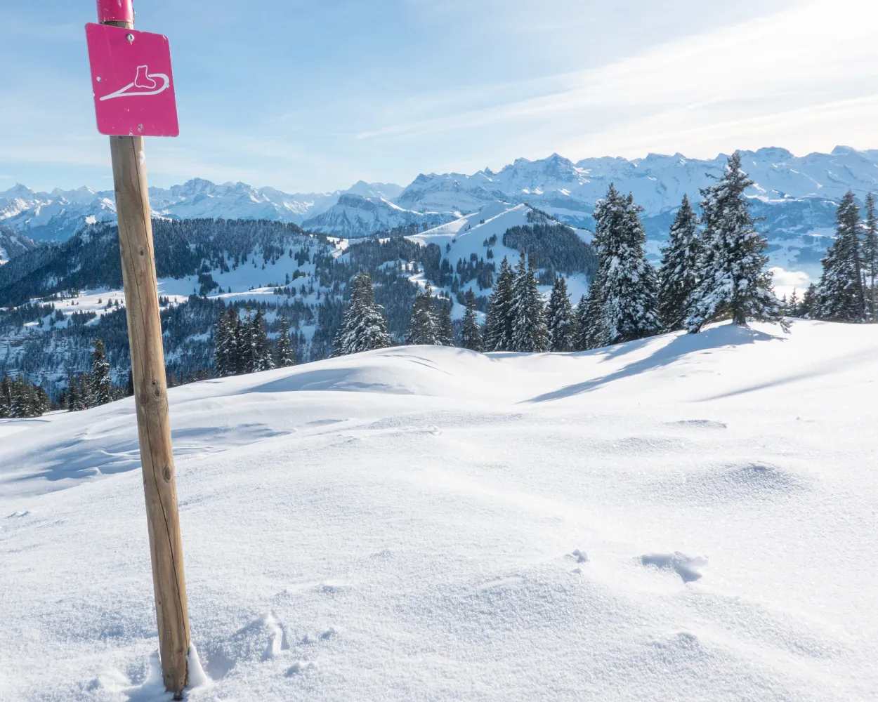
Discover the wildly romantic side of winter high above the Ägerital valley on the highest snowshoe trail in the canton of Zug, traverse snow-capped forests, and gaze out on the Säntis from the Central Swiss Alps.
5 km170 m170 m2h 5mTour published by:
SwitzerlandMobility
Learn more on
schweizmobil.ch
| Einsiedeln (08:45) | |
| S40 (6m) | |
| Biberbrugg (08:51) |
| Biberbrugg, Bahnhof (09:10) | |
| 507 (10m) | |
| Rothenthurm, Dorf (09:20) |
| Rothenthurm, Bahnhof (09:32) | |
| 609 (23m) | |
| Oberägeri, Station (09:55) |
| Oberägeri, Station (10:04) | |
| 610 (9m) | |
| Alosen, Raten (10:13) |
This trail takes hikers from a bustling winter sports resort to total seclusion in no time at all. At the highest point on the tour lies a hidden gem: the cosy Waldhüttli mountain pub.
7 km360 m360 m3h 25mLandscape: With panoramic views,Onto an alp
Tour published by:
SwitzerlandMobility
Learn more on
schweizmobil.ch
| Einsiedeln (08:45) | |
| S40 (6m) | |
| Biberbrugg (08:51) |
| Biberbrugg, Bahnhof (09:10) | |
| 507 (30m) | |
| Schwyz, Zentrum (09:40) |
| Schwyz, Zentrum (09:45) | |
| 501 (9m) | |
| Schwyz, Stoosbahn (09:54) |
| Schwyz Stoosbahn (Talstation) (10:10) | |
| 2577 (7m) | |
| Stoos SZ (10:17) |
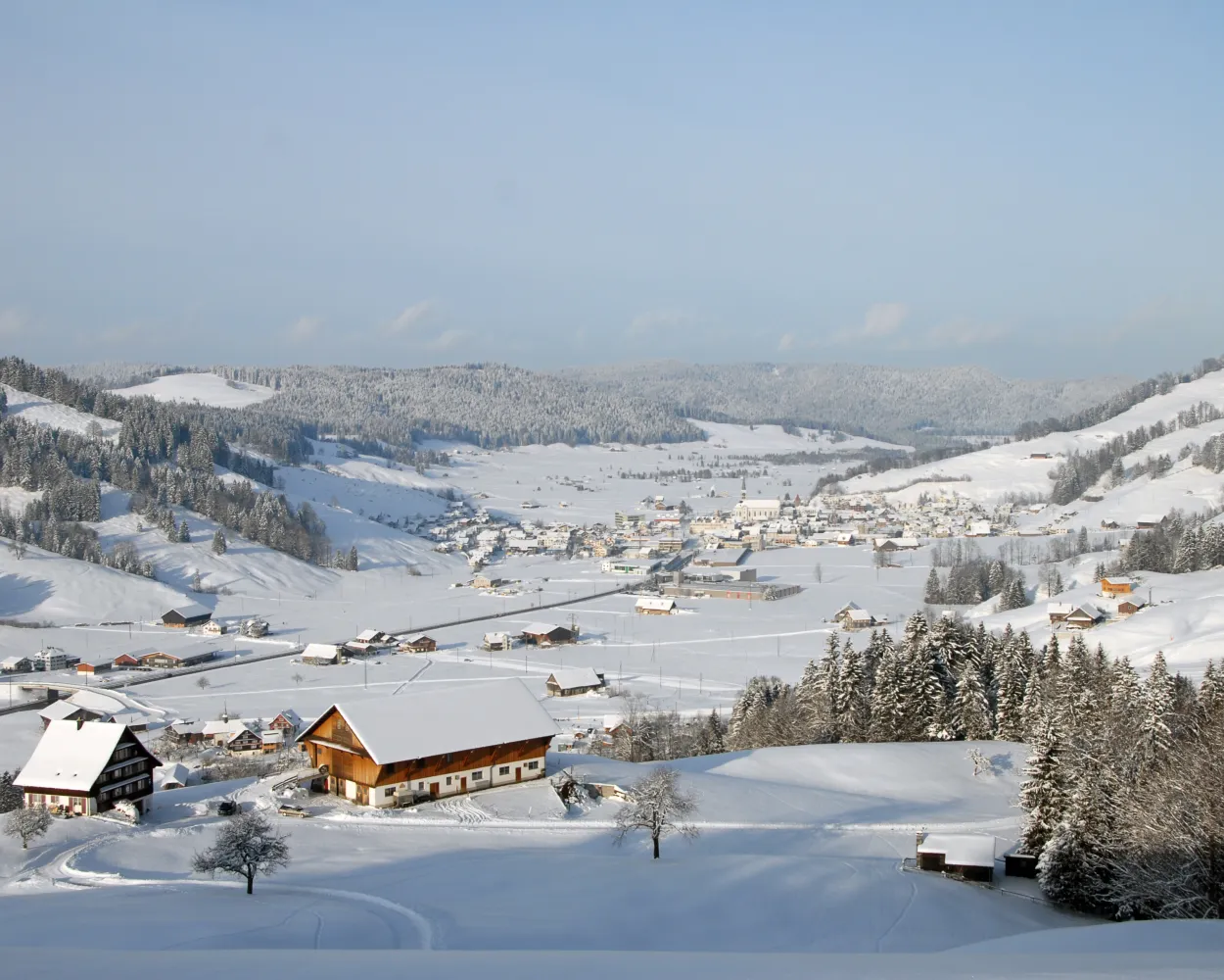
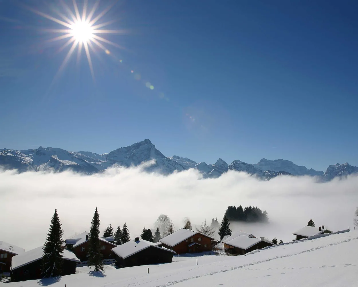
On the sun terrace above Illgau, not far from the cantonal capital of Schwyz, lies a charming landscape of gently rolling hills. The special tranquillity of this area makes it very popular with snowshoe hikers and nature lovers.
9 km560 m560 m4h 40mTour published by:
SwitzerlandMobility
Learn more on
schweizmobil.ch
| Einsiedeln (08:45) | |
| S40 (6m) | |
| Biberbrugg (08:51) |
| Biberbrugg, Bahnhof (09:10) | |
| 507 (30m) | |
| Schwyz, Zentrum (09:40) |
| Schwyz, Zentrum (09:45) | |
| 501 (15m) | |
| Ried (Muotathal), Seilb.Illgau (10:00) |
| Ried (Muotathal) (Seilbahn) (10:05) | |
| PB (3m) | |
| Illgau (Luftseilbahn) (10:08) |
| Illgau Dorf (10:16) | |
| PB (7m) | |
| Oberberg St. Karl (10:23) |
The circular hike on top of the Rigi offers fascinating views of Lake Lucerne, the Alps of Uri, the cities of Lucerne and Zug, and the lakes of Central Switzerland. From the mountain station, the snowshoe trail leads to Alp Chäserenholz, with views of the Grosse and Kleine Mythen, the landmarks of the Canton of Schwyz.
2 km150 m150 m1h 5mTour published by:
SwitzerlandMobility
Learn more on
schweizmobil.ch
| Einsiedeln (08:45) | |
| S40 (6m) | |
| Biberbrugg (08:51) |
| Biberbrugg, Bahnhof (09:10) | |
| 507 (9m) | |
| Rothenthurm, Bahnhof (09:19) |
| Rothenthurm (09:29) | |
| VAE (16m) | |
| Arth-Goldau (09:45) |
| Arth-Goldau RB (09:55) | |
| 81 (39m) | |
| Rigi Kulm (10:34) |
Plenty of sunshine, magnificent countryside, and panoramic views of the Leistchamm, the jagged Churfirsten, and the Toggenburg are among the highlights the trail from Arvenbüel to Vorder Höhi has to offer. After snowshoeing through sparse forest and over snowy Alpine meadows, the cosy, little mountain inn invites you to relax and refuel.
9 km520 m520 m4h 25mLandscape: With panoramic views,Onto an alp
Tour published by:
SwitzerlandMobility
Learn more on
schweizmobil.ch
The Egg-Rör Trail leads through snowy forests, wintery Beerenbach, and through a natural landscape that is home to a variety of wild animals. The Glarner Alps provide the imposing backdrop.
5 km280 m280 m2h 20mTour published by:
SwitzerlandMobility
Learn more on
schweizmobil.ch
| Einsiedeln (08:45) | |
| S40 (31m) | |
| Pfäffikon SZ (09:16) |
| Pfäffikon SZ (09:21) | |
| S2 (20m) | |
| Ziegelbrücke (09:41) |
| Ziegelbrücke, Bahnhof Süd (10:04) | |
| 650 (33m) | |
| Arvenbüel, Arven (10:37) |


