
Discover a winter wonderland on these snowshoe hikes, all easily reachable from Engelberg by public transport. Snow-covered forests, wide alpine plateaus, and scenic routes offer memorable experiences in the heart of the Alps.
To make planning easier, the hikes below are sorted by travel time from Engelberg. Explore the map to find all snowshoe hikes and thousands of other outdoor activities accessible from anywhere in Switzerland.
Much more on ovunta.com/en/map
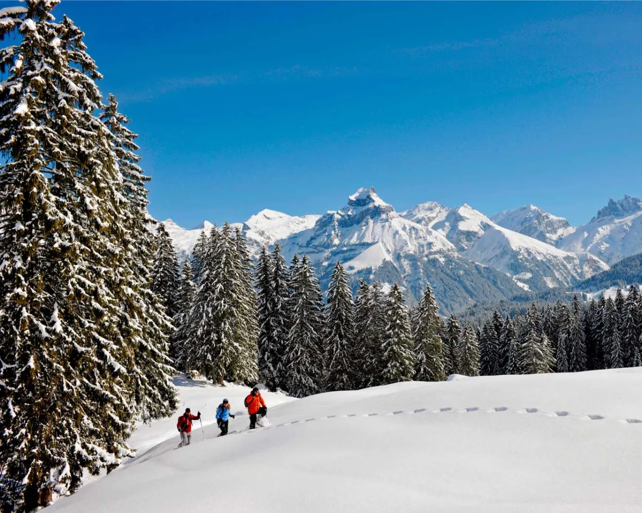
The Untertrübsee Snowshoe Trail is a wonderful way to explore nature as you wander through the Gerschniwald forest at the foot of the Titlis, leaving your tracks in the fresh powder snow.
 4 km
 150 m
 150 m
 1h 40m
Tour published by:
SwitzerlandMobility
Learn more on
schweizmobil.ch
and on
myswitzerland.com

High above Engelberg, the Obertrübsee Snowshoe Trail awaits nature-loving ramblers and ambitious athletes alike. Can there be a more wonderful feeling than leaving traces in the fresh powder snow as you wander up hill and down dale, through tranquil forests?
5 km300 m300 m2h 40m Landscape: Along the water, Through a Swiss Park, With panoramic views
Tour published by:
SwitzerlandMobility

The Grotzli Trail on the Fürenalp whisks you away to a place of tranquillity where you can forget the hustle and bustle and simply enjoy nature.
3 km190 m190 m1h 40mTour published by:
SwitzerlandMobility
Learn more on
schweizmobil.ch
and on
myswitzerland.com
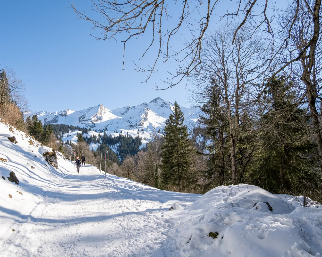
This moderately challenging snowshoe trail surrounded by pristine nature offers stunning views into the Engelberg Valley, away from the hustle and bustle. It leads from the Maria-Rickenbach pilgrimage site with its famous monastery mainly through the forest and across meadows.
5 km240 m240 m2h 20mLandscape: Onto an alp, With panoramic viewsTour published by:
SwitzerlandMobility
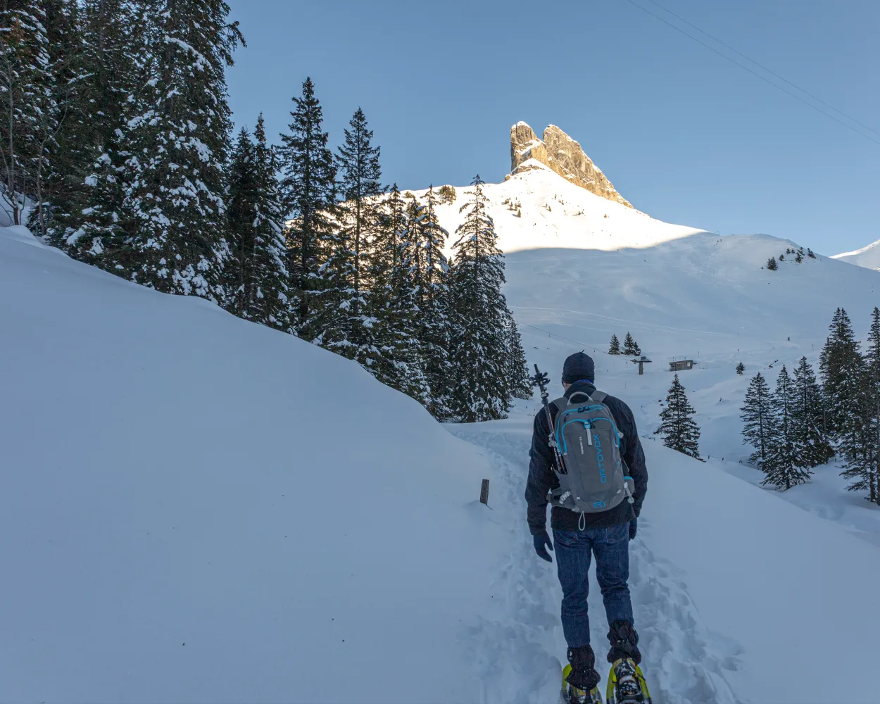
The Bannalp is a secret gem in the Engelberg Valley. This high valley with the peaceful Bannalp reservoir at its centre is surrounded by the mighty Gross Walenstock, Klein Walenstock and Bietstock peaks. Close by, the circular walk up to the Urnerstaffel begins. Snowshoe hikers can enjoy wonderful views!
3 km110 m110 m1h 10mTour published by:
SwitzerlandMobility
Learn more on
schweizmobil.ch
and on
myswitzerland.com
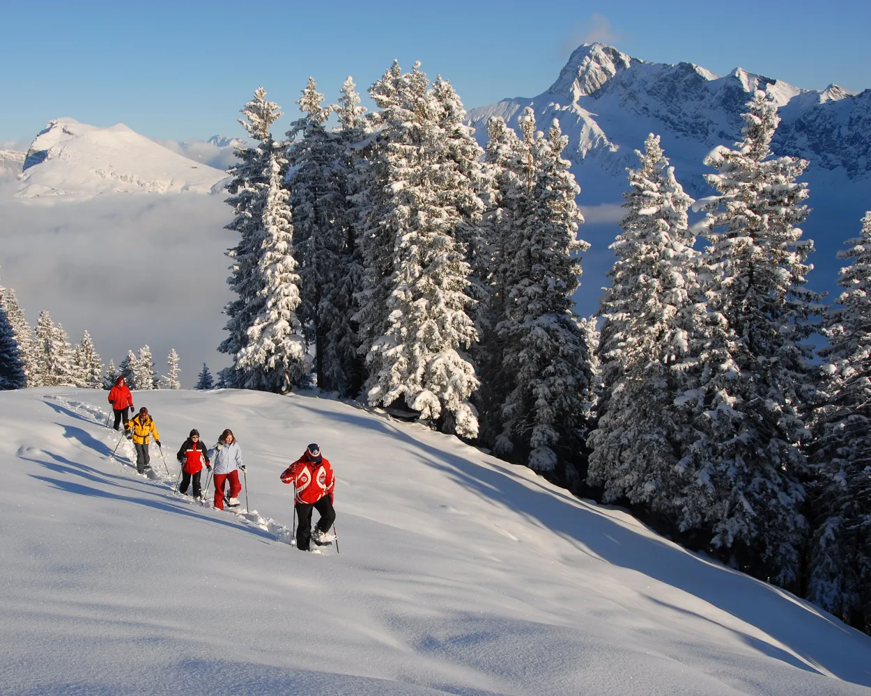
From the start at the Klewenalp mountain station high above Lake Lucerne, the trail first leads downhill to Wangiboden. Further on, the Brämegg viewpoint boasts spectacular views of the lake and the mountains of Central Switzerland. Head back to the mountain station via Röthen.
3 km190 m190 m1h 40mLandscape: Onto a mountain peak, Onto an alp, With panoramic viewsTour published by:
SwitzerlandMobility
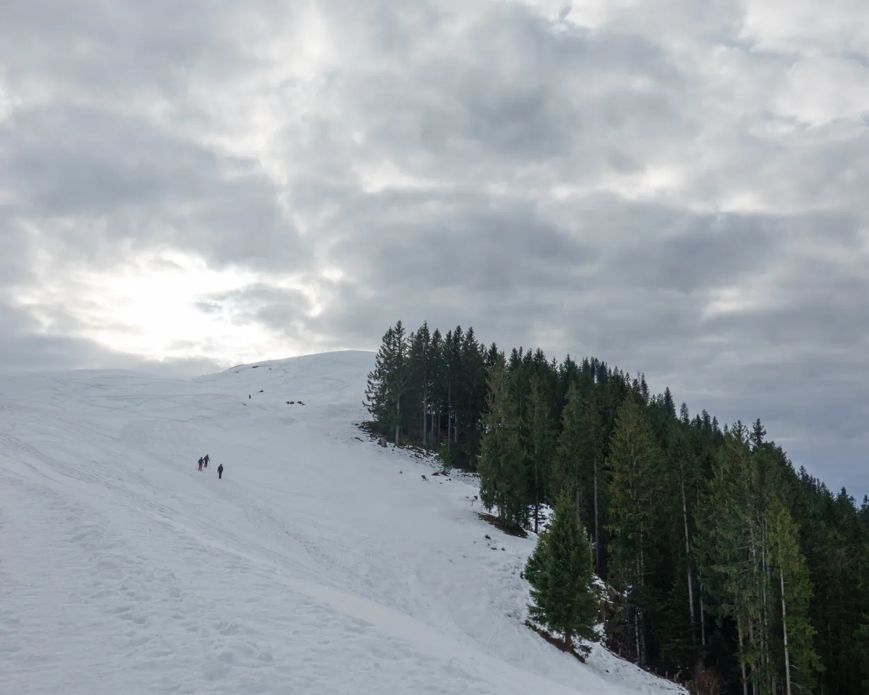
Snow crunching underfoot amidst a snowy winter landscape – the range of hills featuring the Napf on the right, a mountain backdrop with the Risetenstock, Schimbrig and Schafmatt on the left. And once you arrive at the First, a welcome Entlebuch-style coffee with schnapps. What more could you ask for?
7 km380 m380 m3h 15mTour published by:
SwitzerlandMobility
Learn more on
schweizmobil.ch
and on
myswitzerland.com
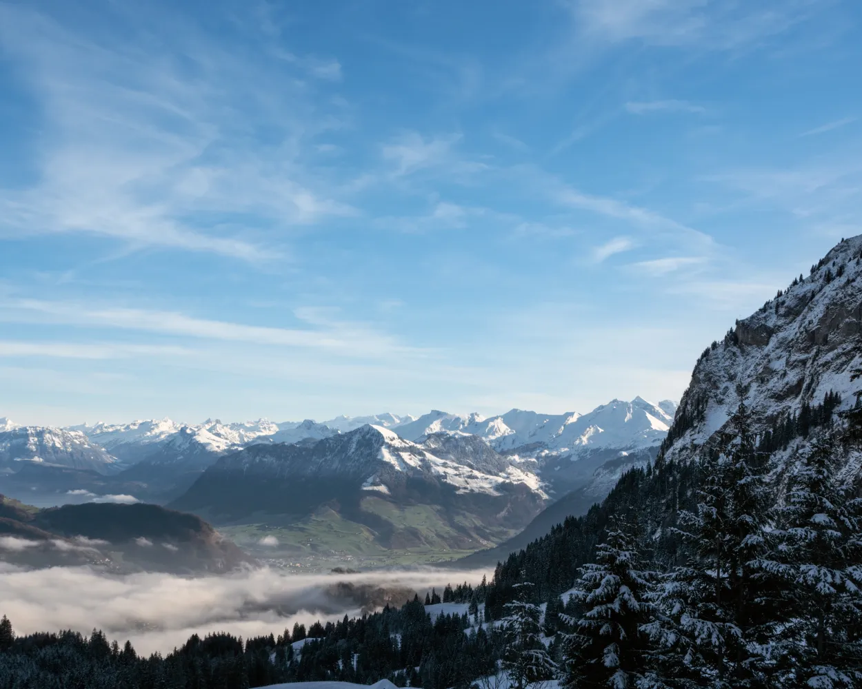
The easy snowshoe tour on Pilatus leads from Fräkmüntegg over open meadows of Alp Bonern and back through the «Rehlöcher» forest. During the hike you cross the border from Lucerne to Nidwalden and enjoy a beautiful view of Lucerne, Lake Lucerne, the midland and the northern foothills of the Alps.
3 km180 m180 m1h 35mLandscape: Onto an alp, With panoramic viewsTour published by:
SwitzerlandMobility
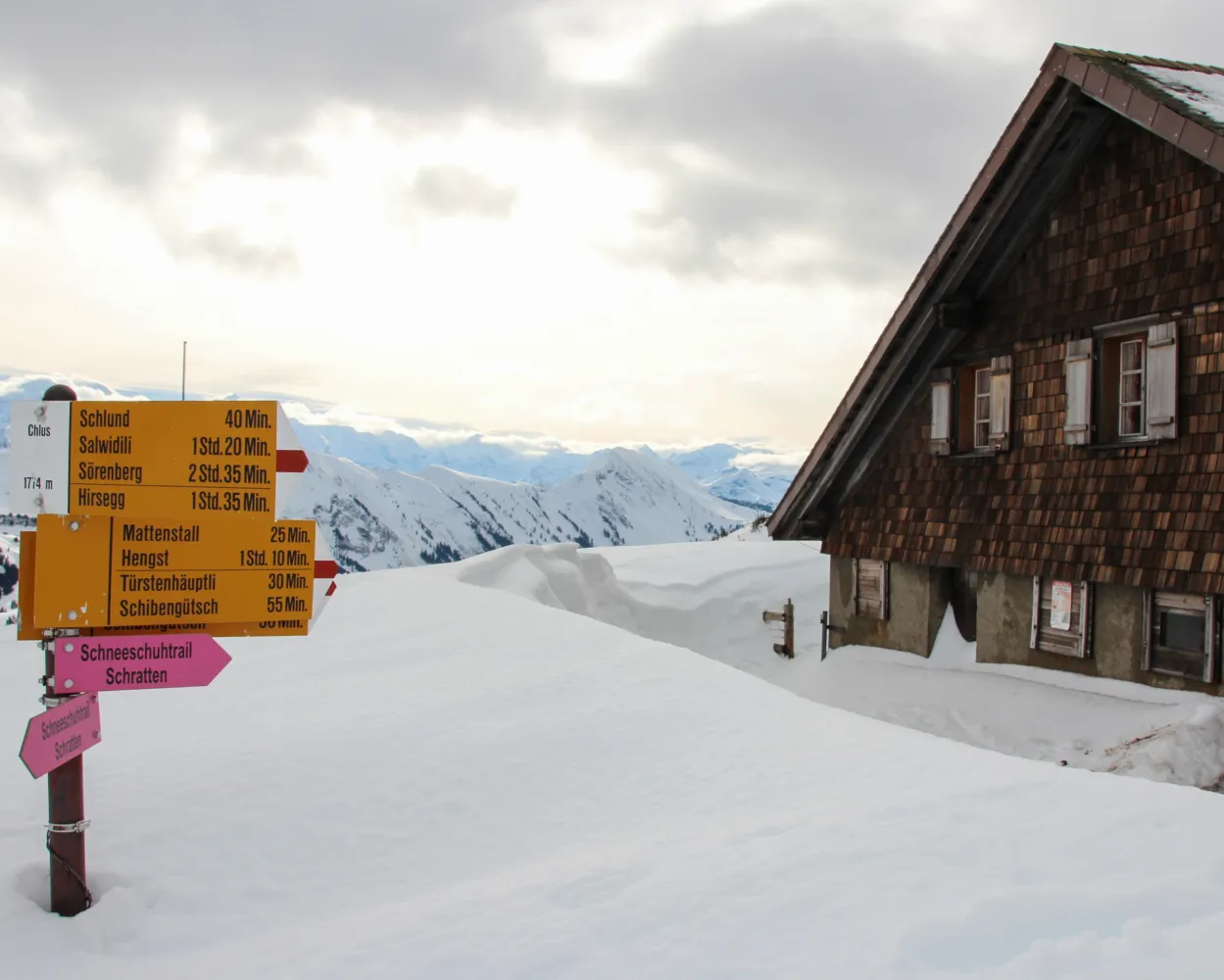
This somewhat more challenging tour leads through the stunning landscape beneath the Schrattenfluh and its striking karst formations. The hike ends at the Chlushütte (mountain hut), located at the foot of the Böli, where incredible panoramic views across the Brienzer Rothorn range and the Bernese Alps await you.
11 km760 m760 m6h 0mTour published by:
SwitzerlandMobility
Learn more on
schweizmobil.ch
and on
myswitzerland.com

This snowshoe trail begins at the Kemmeriboden-Bad country inn and heads along the left bank of the burgeoning Emme through a variety of forests, meadows, and hamlets. It begins with a climb that is rewarded with views of the mountain range of the Alps.
4 km150 m220 m1h 55mTour published by:
SwitzerlandMobility
Learn more on
schweizmobil.ch
and on
myswitzerland.com
Learn more on
schweizmobil.ch
and on
myswitzerland.com
Learn more on
schweizmobil.ch
and on
myswitzerland.com
Learn more on
schweizmobil.ch
and on
myswitzerland.com
Learn more on
schweizmobil.ch
and on
myswitzerland.com


