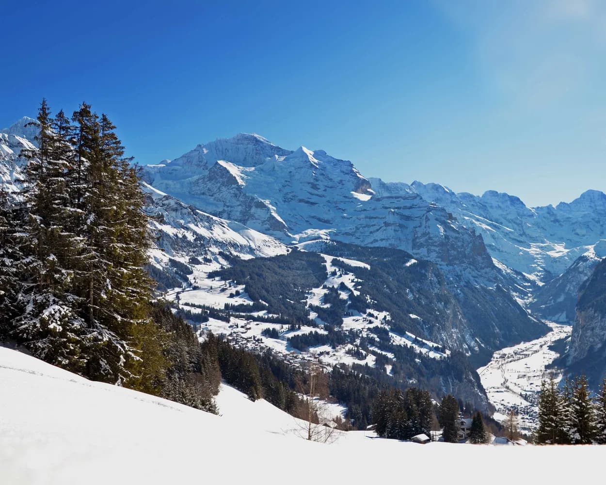
Discover a winter wonderland on these snowshoe hikes, all easily reachable from Wengen by public transport. Snow-covered forests, wide alpine plateaus, and scenic routes offer memorable experiences in the heart of the Alps.
To make planning easier, the hikes below are sorted by travel time from Wengen. Explore the map to find all snowshoe hikes and thousands of other outdoor activities accessible from anywhere in Switzerland.
Much more on ovunta.com/en/map
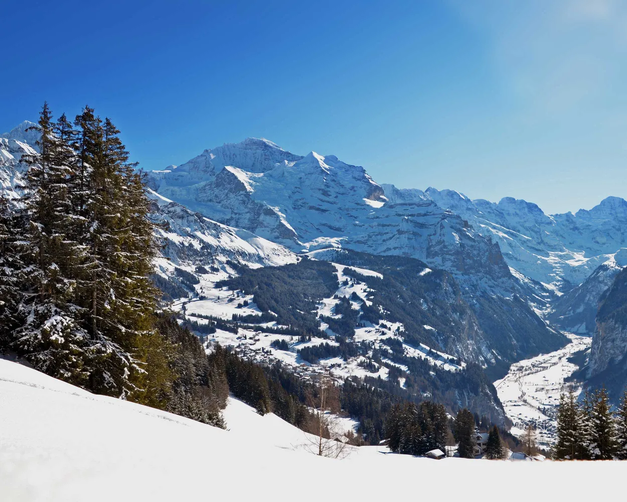
A panoramic view like no other: From Leiterhorn, the entire length of the Lauterbrunnen valley can be seen. Another magnificent sight is the view up to Jungfrau mountain and the striking, pyramid-shaped Silberhorn peak.
 5 km
5 km 280 m
280 m 280 m
280 m 2h 30m
Landscape: With panoramic views,Onto a mountain peak
Tour published by:
SwitzerlandMobility
Learn more on
schweizmobil.ch
With its steep rock faces and waterfalls plunging hundreds of metres, the Lauterbrunnen Valley leads you into a magical world that already captivated famous writers and filmmakers. The snowshoe trek on the hills surrounding the valley will delight you with views of the mighty peaks of the Bernese Alps, contrasted by charming alpine huts on the sunny slopes.
5 km200 m480 m2h 30mTour published by:
SwitzerlandMobility
Learn more on
schweizmobil.ch
| 63 (13m) | |
| 141 (12m) | |
| 2460 (4m) | |
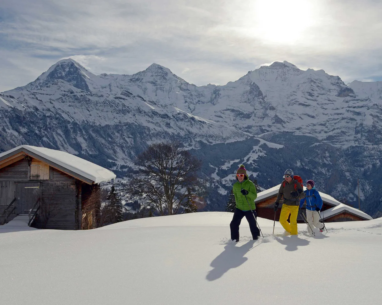
This circular route starts at Isenfluh, goes through Mederalp, which is slightly higher up, and then back to the easily reachable cable car. An easy trail with impressive views of the world-famous mountain trio: Eiger, Mönch and Jungfrau.
2 km170 m170 m1h 15mTour published by:
SwitzerlandMobility
Learn more on
schweizmobil.ch
| 63 (13m) | |
| 142 (12m) | |
| 2458 (5m) | |
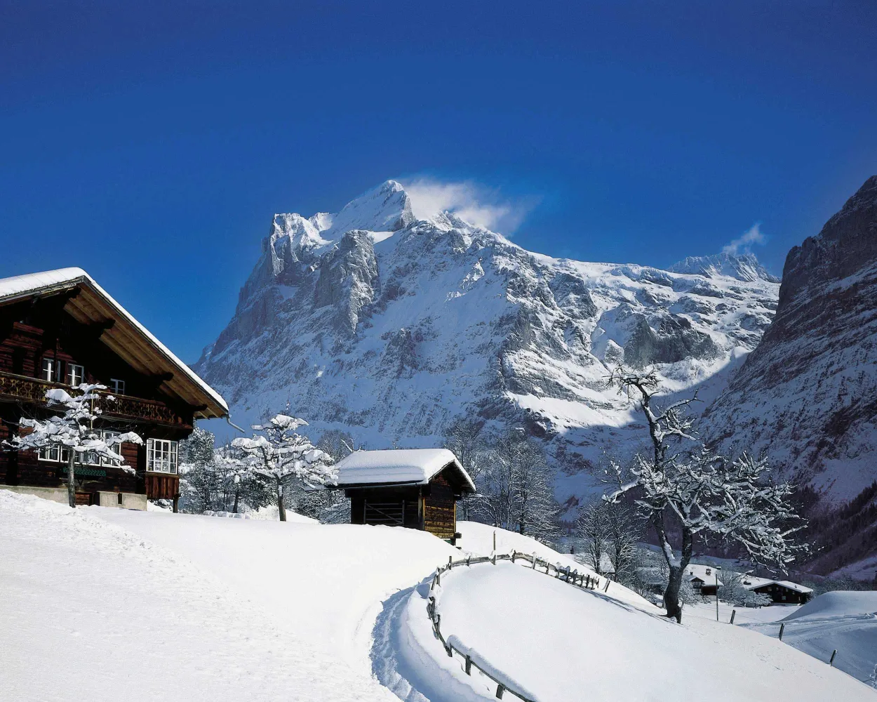
It doesn’t always have to be about the Eiger mountain: At the foot of Wetterhorn, this trail winds through snowy meadows and forests towards the Grosse Scheidegg pass.
4 km240 m240 m1h 50mTour published by:
SwitzerlandMobility
Learn more on
schweizmobil.ch
| 2455 (5m) | |
| GGM (20m) | |
| 121 (25m) | |
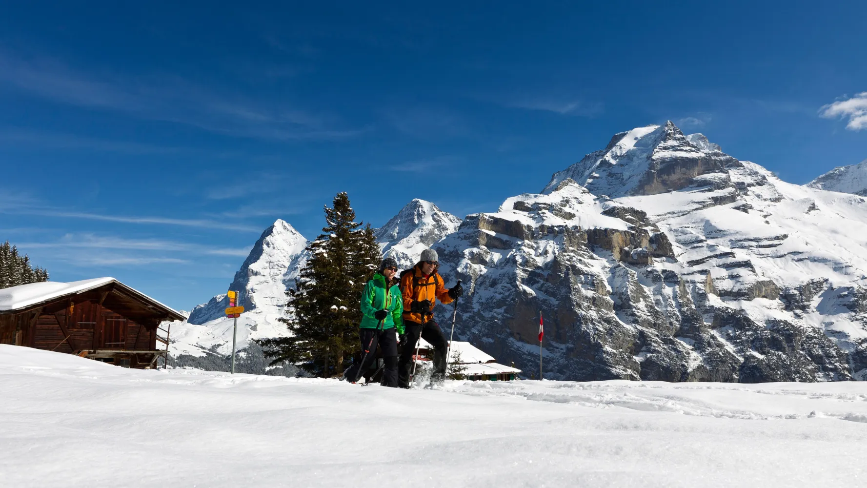
On this trail, snowshoe hikers have three attractive companions by their side: The alpine scenery of the Lauterbrunnen valley with the world-famous mountain trio of Eiger, Mönch and Jungfrau can be seen for the entire round trip. At Chänelegg there is a beautiful moorland area.
4 km240 m240 m1h 55mLandscape: With panoramic views,Onto a mountain peak
Tour published by:
SwitzerlandMobility
Learn more on
schweizmobil.ch
| 63 (13m) | |
| 141 (12m) | |
| 2460 (4m) | |
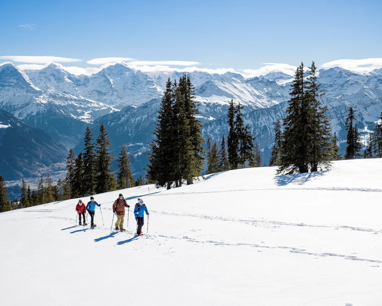
A snowshoe trek through unspoilt nature beckons below the Niederhorn, between gnarled Swiss stone pines, open meadows and sunny slopes. The backdrop with views over Lake Thun and the peaks of the Bernese Oberland will amaze you.
11 km440 m800 m5h 0mTour published by:
SwitzerlandMobility
Learn more on
schweizmobil.ch
| 63 (13m) | |
| 2461 (4m) | |
| 2461 (4m) | |
| R62 (15m) | |
| 105 (9m) | |
| 101 (18m) | |
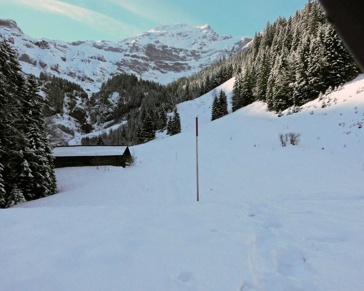
Experience nature and relaxation in the untouched Saxettal valley, surrounded by the Schwalmere, Bällenhöchst and Morgenberghorn peaks, in the distance enchanting Lake Brienz. Hike from this traffic-free mountain village into the funnel-shaped high valley, the source of Interlaken’s drinking water.
3 km190 m190 m1h 35mTour published by:
SwitzerlandMobility
Learn more on
schweizmobil.ch
| 63 (13m) | |
| 2461 (4m) | |
| 2461 (4m) | |
| R62 (15m) | |
| 111 (23m) | |
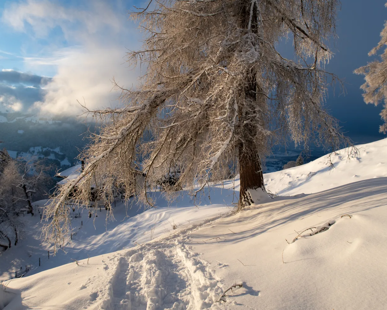
High above Lake Thun the snowshoe trail leads from sunny Aeschiried to the foot of the Morgenberghorn. The views of the fantastic mountain backdrop and deep blue Lake Thun are spectacular.
12 km800 m800 m6h 25mTour published by:
SwitzerlandMobility
Learn more on
schweizmobil.ch
| 63 (13m) | |
| 2461 (4m) | |
| 2461 (4m) | |
| R62 (23m) | |
| IC61 (24m) | |
| 62 (16m) | |
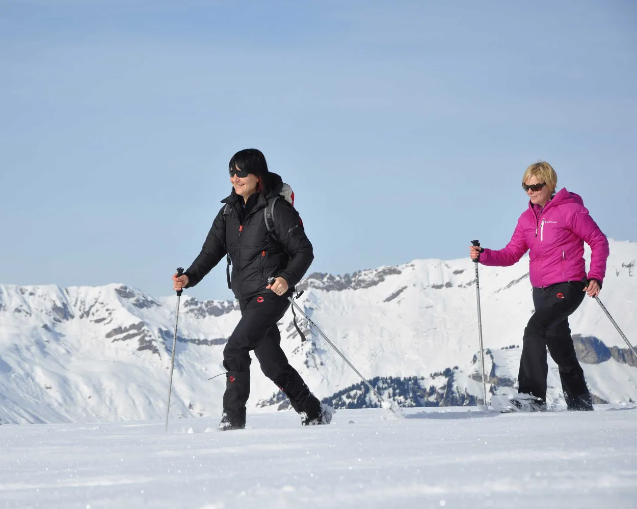
From Axalp high above Lake Brienz along a trail flanked by snow-covered wooden sculptures and storm-ravaged forests to the tiny Hinterburgseeli lake, nestled into a mystical hollow and surrounded by towering rock ledges.
5 km280 m280 m2h 25mTour published by:
SwitzerlandMobility
Learn more on
schweizmobil.ch
| 63 (13m) | |
| 2461 (4m) | |
| 2461 (4m) | |
| R62 (23m) | |
| LIX (18m) | |
| 155 (37m) | |
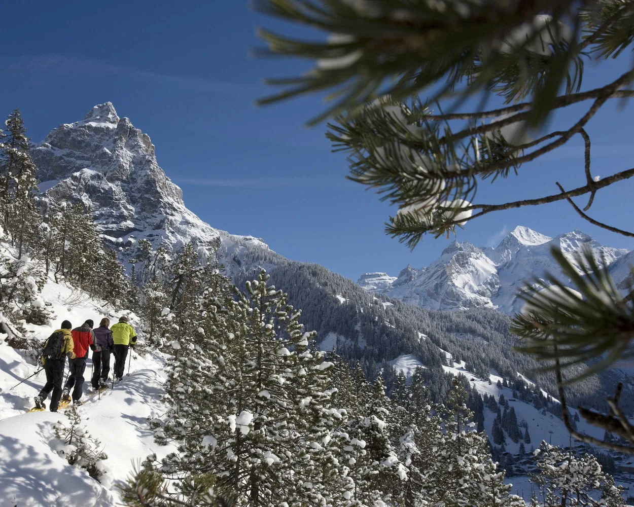
A great combination of easy but still very scenic snow shoe tour is waiting for you. After a the hike to the viewpoint on the top of «Höh», snow shoe hikers will be rewarded with the most beautiful panorama of Kandersteg and the mountain range of the UNESCO World heritage site.
2 km160 m160 m1h 15mTour published by:
SwitzerlandMobility
Learn more on
schweizmobil.ch
| 63 (13m) | |
| 2461 (4m) | |
| 2461 (4m) | |
| R62 (23m) | |
| IC61 (24m) | |
| RE1 (28m) | |



