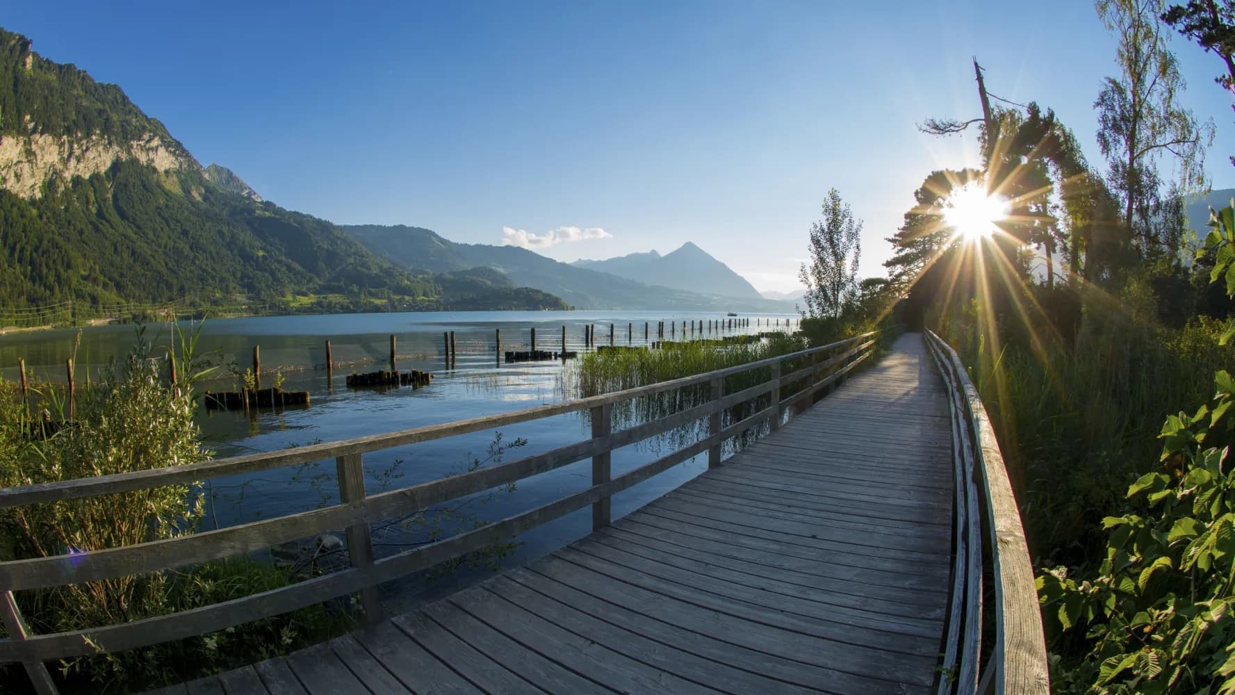
Discover a range of barrier-free trails and paths easily reachable from Wengen by public transport. From lakeside strolls in Interlaken to riverside walks in Kandersteg, these accessible routes offer diverse landscapes and experiences for all abilities. Each destination showcases Switzerland's natural beauty, from Alpine views to serene waterways.
The following list of accessible trails is sorted by travel time from Wengen, making it easy to plan your next adventure. Check out the map to explore thousands of destinations and activities, reachable from any starting point in Switzerland.
Much more on ovunta.com/en/map
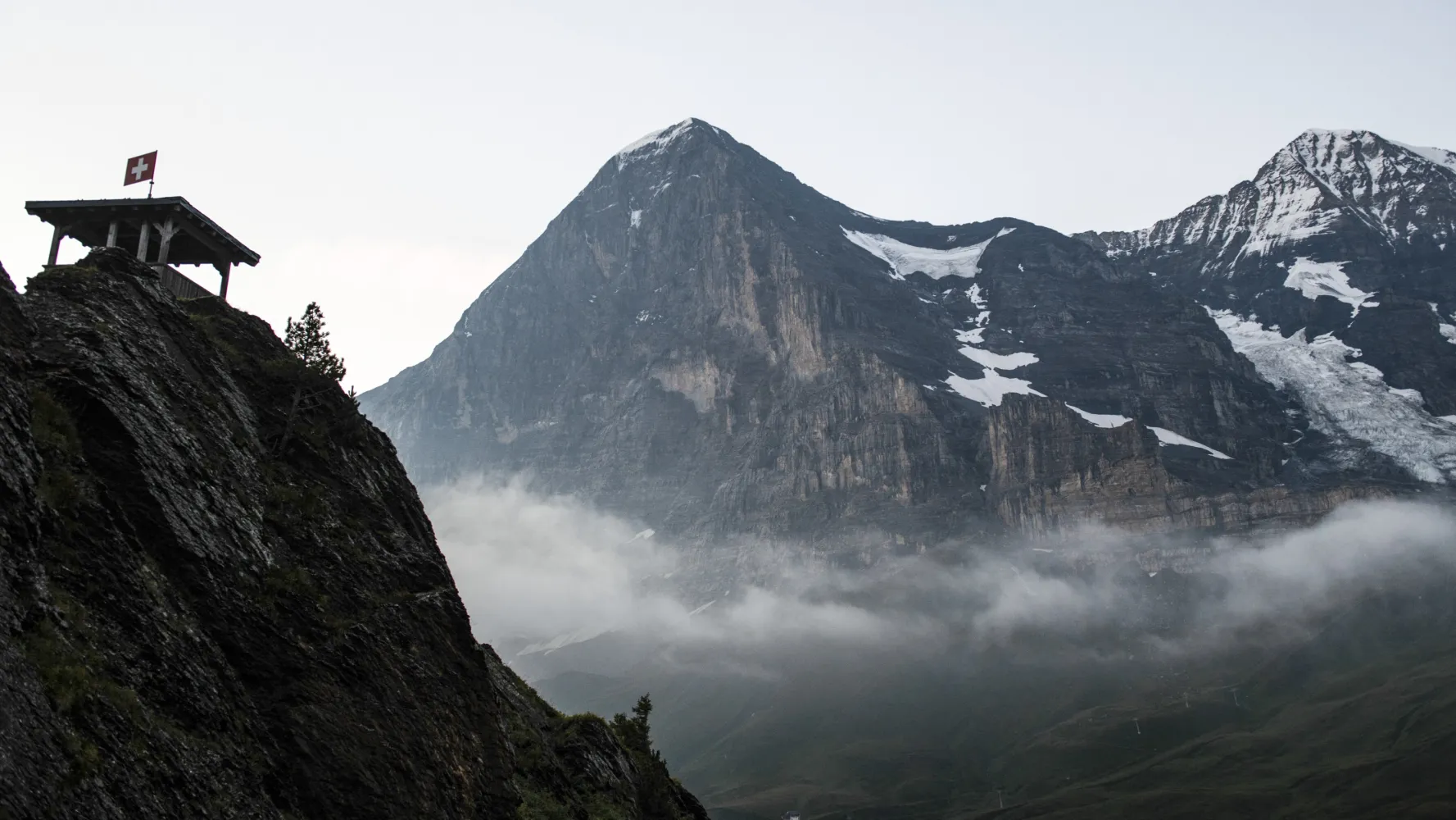
The climb to Kleine Scheidegg over undulating meadows is gentle, the rock and ice scenery of the Eiger North Wall close and awe-inspiring. Sunny high-level trail to Wengen, then deep into the Lauterbrunnen Valley with its vertical walls and spectacular waterfalls.
 20 km
20 km 1150 m
 1400 m
 6h 40m
Landscape: With panoramic views
Tour published by:
SwitzerlandMobility
Learn more on
schweizmobil.ch
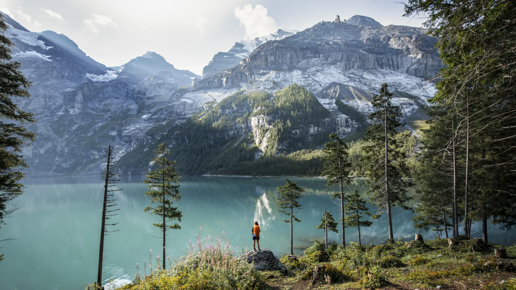
The Via Alpina crosses 14 of the most beautiful Alpine passes. Straight through seven Swiss cantons with a vast variety of culture, geology and topography. Wide roads end in high ridge trails. The route is lined with one of the world’s most diverse variety of flora and fauna.
390 km23500 m24800 mLandscape: With panoramic views,Onto a mountain peak,Over a pass
Tour published by:
SwitzerlandMobility
Learn more on
schweizmobil.ch
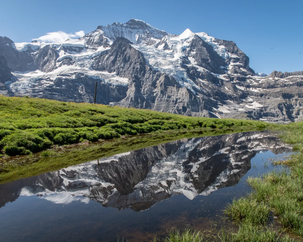
Follow the route of the legendary Lauberhorn downhill ski race in the opposite direction in summer. Discover just how high the Hundschopf jump is and how steep the pistes actually are. The views of the Eiger, Mönch & Jungfrau are absolutely unbeatable.
6 km820 m260 m2h 50mLandscape: With panoramic views
Tour published by:
SwitzerlandMobility
Learn more on
schweizmobil.ch
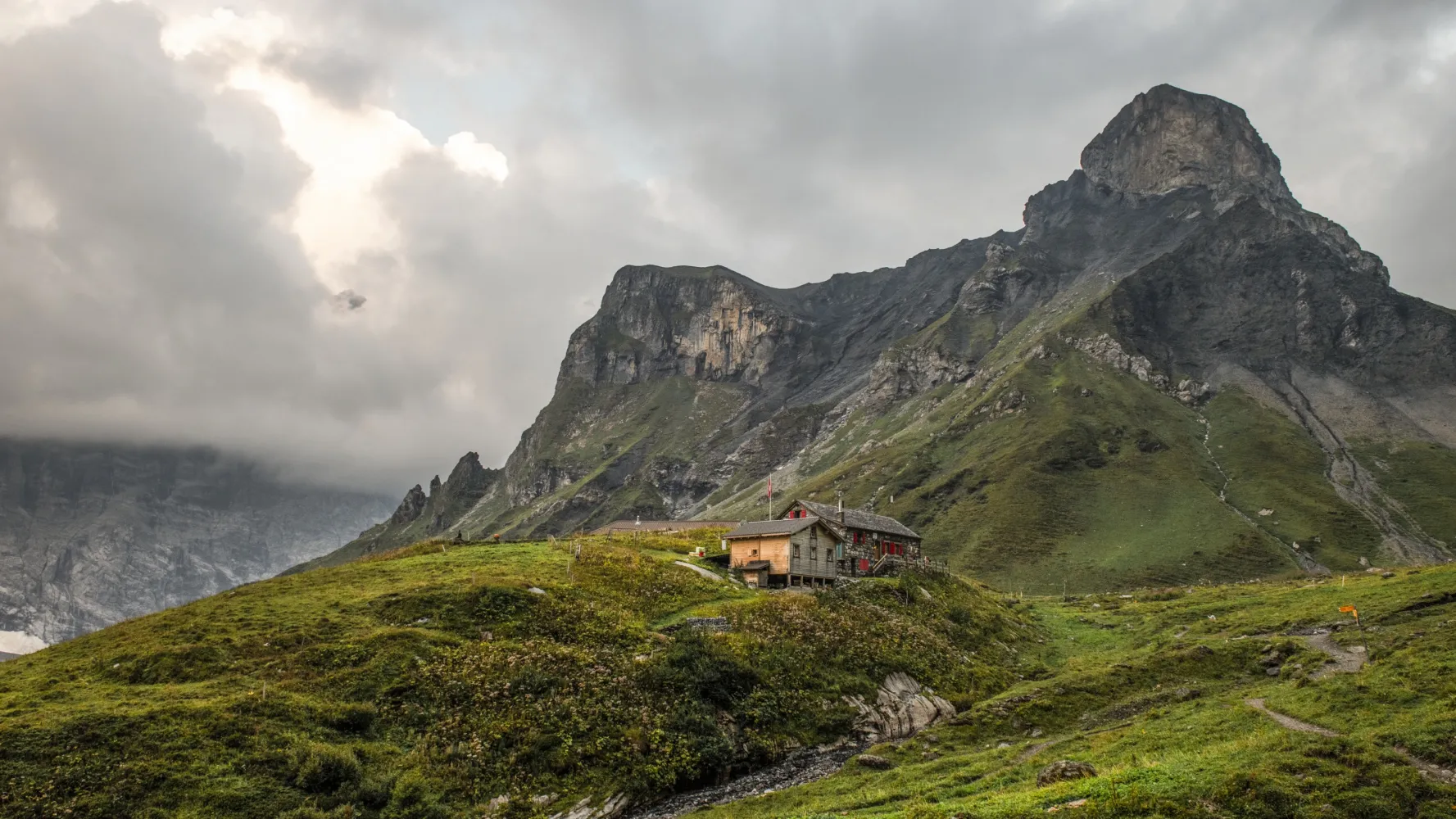
The sunny terrace of Mürren lies directly opposite the Eiger, Mönch &Jungfrau. The trail leads on via Alpine pastures, vantage points such as Bryndli and sturdy huts such as the Rotstockhütte to the Sefinenfurgge, the impressive pass into the Kiental.
22 km2000 m1400 m9h 0mLandscape: With panoramic views,Over a pass
Tour published by:
SwitzerlandMobility
Learn more on
schweizmobil.ch
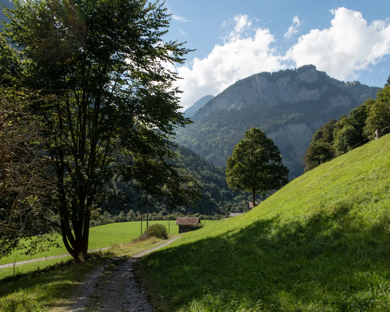
From Isenflue, the old mule track runs down steeply through wild mountain forest to Zweilütschinen. After Gündlischwand, up to the other side of the U-shaped Lauterbrunnen Valley. The path to Alp Schwand is steep and full of hairpin bends. See the view of the Oberland 4000-m-high peaks, then on to Schynige Platte.
10 km1350 m480 m5h 0mTour published by:
SwitzerlandMobility
Learn more on
schweizmobil.ch
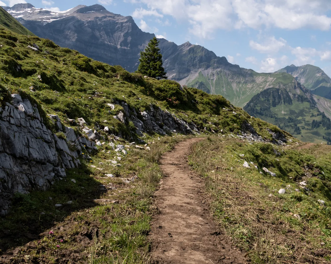
From Saxeten, you climb through the forest and later take a rocky path over two alps, up to the Tschingel mountain basin. This crosses a sloping mountain path. Past the Lobhornhüttli, steep and stony forest paths run down to Sulwald and over another steep step to Isenfluh.
13 km1100 m1100 m5h 25mTour published by:
SwitzerlandMobility
Learn more on
schweizmobil.ch
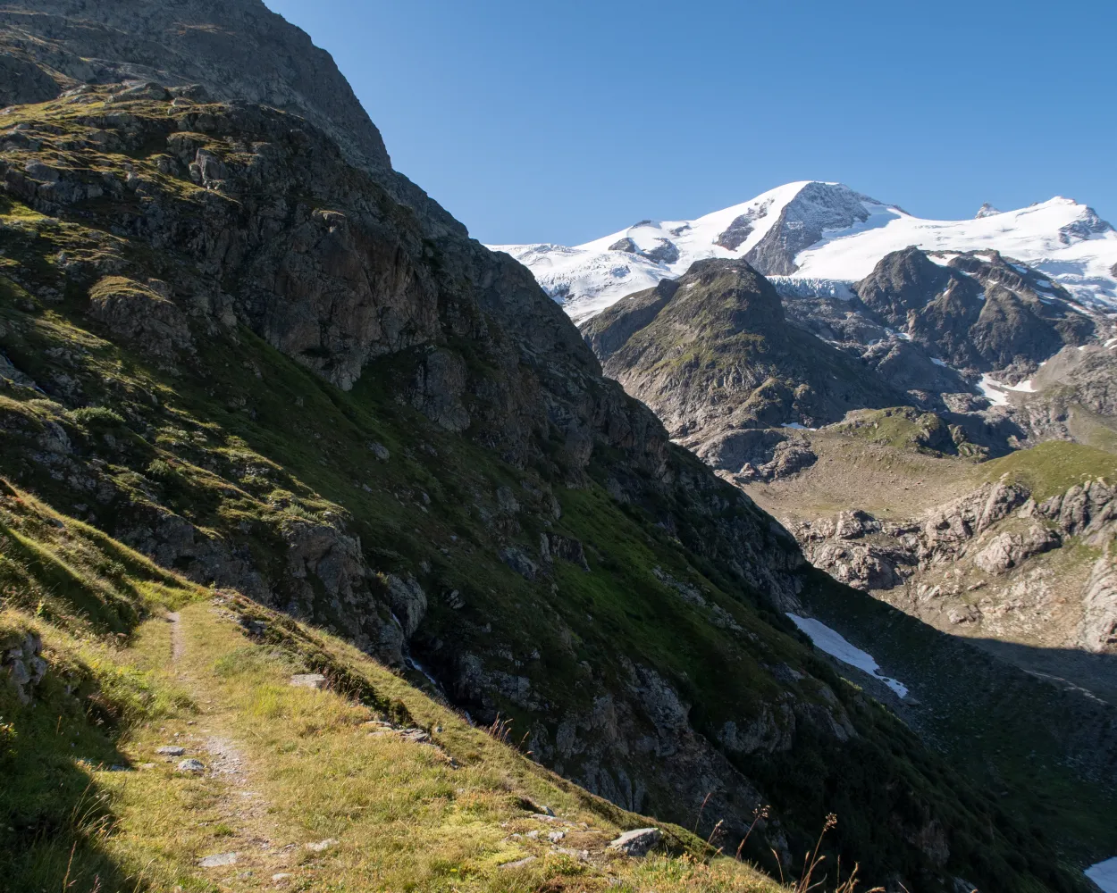
The Via Berna presents a cross-section of the diverse canton of Bern. From the gentle hills on the edge of the Franches-Montagnes, it crosses the highest Jura fold. Along the Aare to Lake Thun, across several Alpine passes and on mountain trails with incredible views, you can reach Susten Pass in 20 stages.
305 km13700 m12400 mTour published by:
SwitzerlandMobility
Learn more on
schweizmobil.ch
| 63 (13m) | |
| 142 (12m) | |
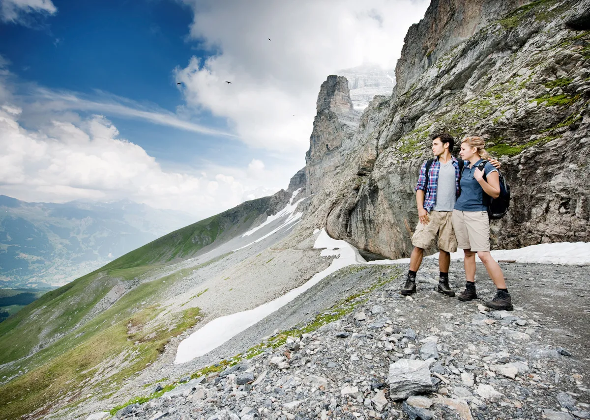
The Eiger North Wall is close enough to touch from the Eiger Trail and the various world-famous climbing routes to the notorious Eiger summit are easy to spot.
6 km100 m820 m1h 55mLandscape: With panoramic views
Tour published by:
SwitzerlandMobility
Learn more on
schweizmobil.ch
| 63 (22m) | |
| 65 (5m) | |
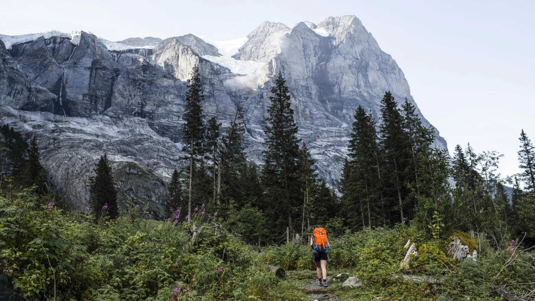
After the rock barrier with the Reichenbach Falls, the trail follows the valley floor. We hike past the nostalgic Rosenlaui Hotel and glacier gorge, enchanted by the Wetterhorn. The route then crosses beautiful moorlands over the Grosse Scheidegg to Grindelwald in the heart of the Jungfrau region.
23 km1550 m1100 m8h 0mLandscape: With panoramic views
Tour published by:
SwitzerlandMobility
Learn more on
schweizmobil.ch
| 2455 (6m) | |
| GGM (20m) | |
| R61 (6m) | |
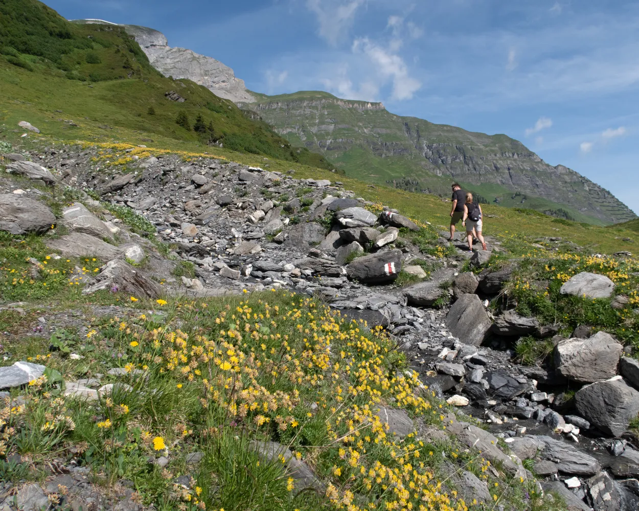
A panoramic hike with fantastic views of the world-famous icy icons, the Eiger, Mönch & Jungfrau. High above the impressive Lauterbrunnen Valley, the route leads past flower-filled Alpine meadows to Allmendhubel.
5 km520 m110 m2h 0mLandscape: With panoramic views
Tour published by:
SwitzerlandMobility
Learn more on
schweizmobil.ch
| 63 (13m) | |
| 141 (12m) | |
| 2460 (4m) | |
| 2463 (4m) | |



