Discover a world of alpine beauty with these ten hikes accessible by public transport from Melchsee-Frutt. From the famous Four Lakes Trail to the challenging Nidwaldner Höhenweg, each route offers unique experiences in the heart of Central Switzerland. Explore crystal-clear mountain lakes, lush alpine meadows, and panoramic views of iconic peaks like Mount Titlis.
The hikes are listed in order of travel time from Melchsee-Frutt, making it easy to plan your mountain adventure. Check out the map to explore thousands of destinations and activities, reachable from any starting point in Switzerland.
Much more on ovunta.com/en/map
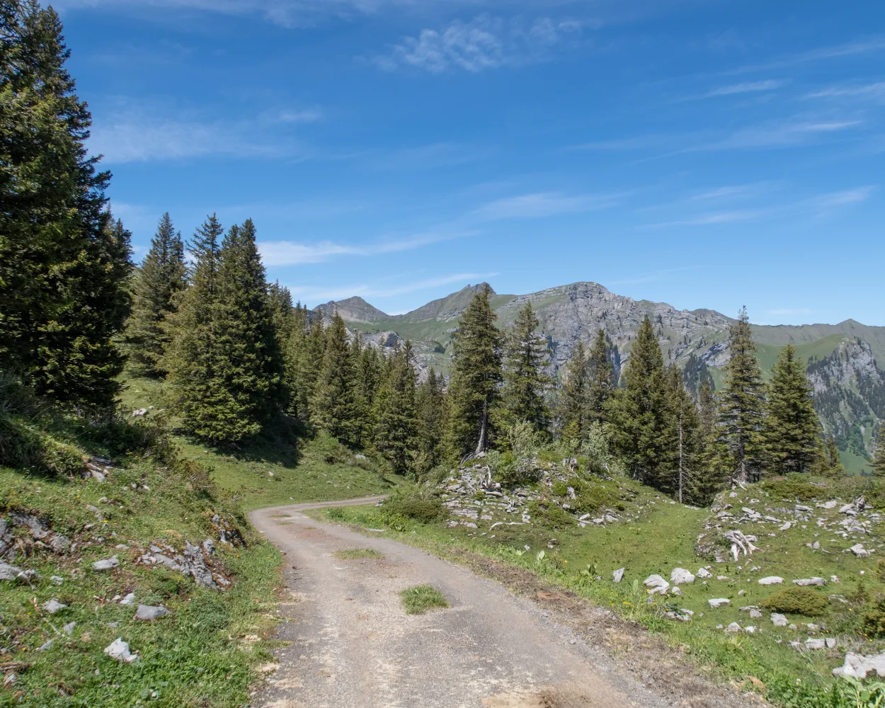
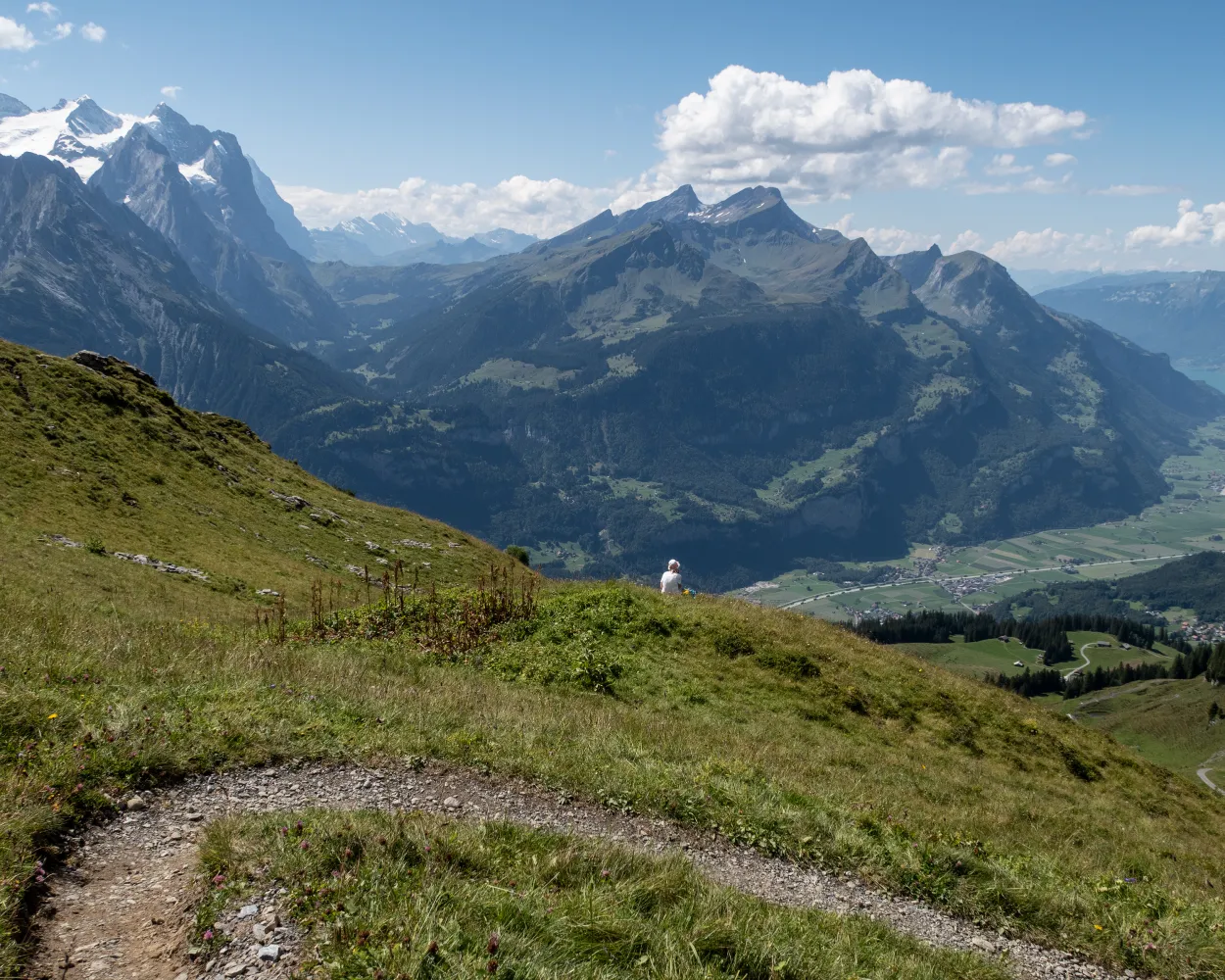
From the Storegg pass, the hiking trail leads along the Obwalden mountain flank of Widderfeldstock, Nünalphorn and Huetstock past alpine huts, over pastures and through small forests to the holiday village of Melchsee-Frutt. The trail offers beautiful views of the wild landscape of the Melchtal valley.
 13 km
13 km 900 m
900 m 760 m
760 m 4h 35m
Landscape: Over a pass,With panoramic views
Tour published by:
SwitzerlandMobility
Learn more on
schweizmobil.ch
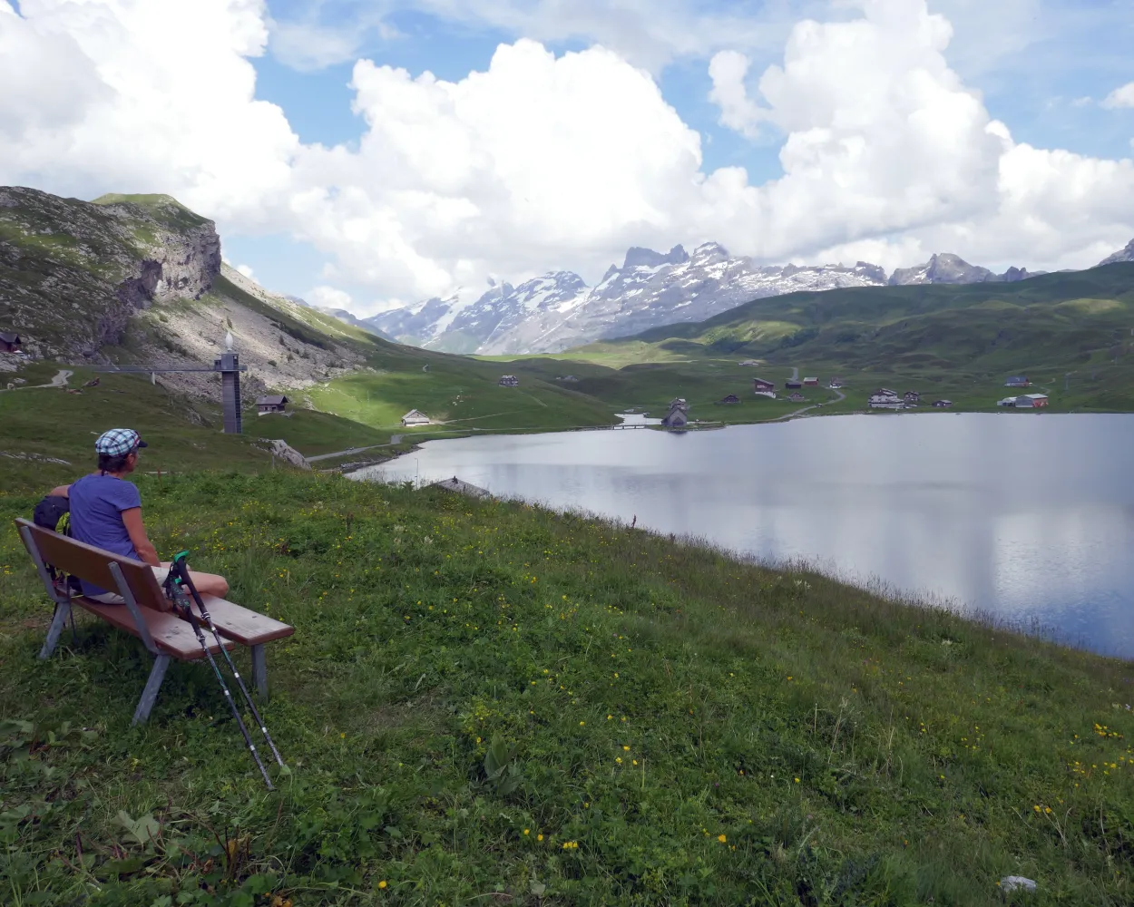
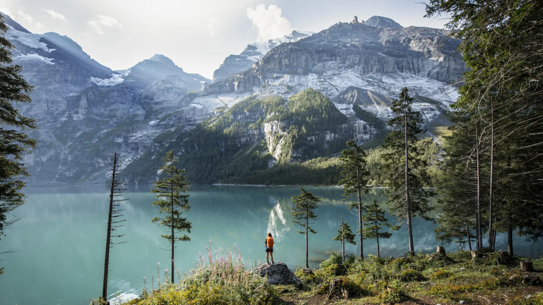
Past four wonderful mountain lakes and over the Jochpass to the monastery village of Engelberg. The nearby imposing mountain world of the Hochstollen, Glogghuis and Titlis bids you welcome. The long descent to Engelberg can be shortened with the aerial cableway.
21 km640 m1550 m6h 20mLandscape: Over a pass,With panoramic views
Tour published by:
SwitzerlandMobility
Learn more on
schweizmobil.ch
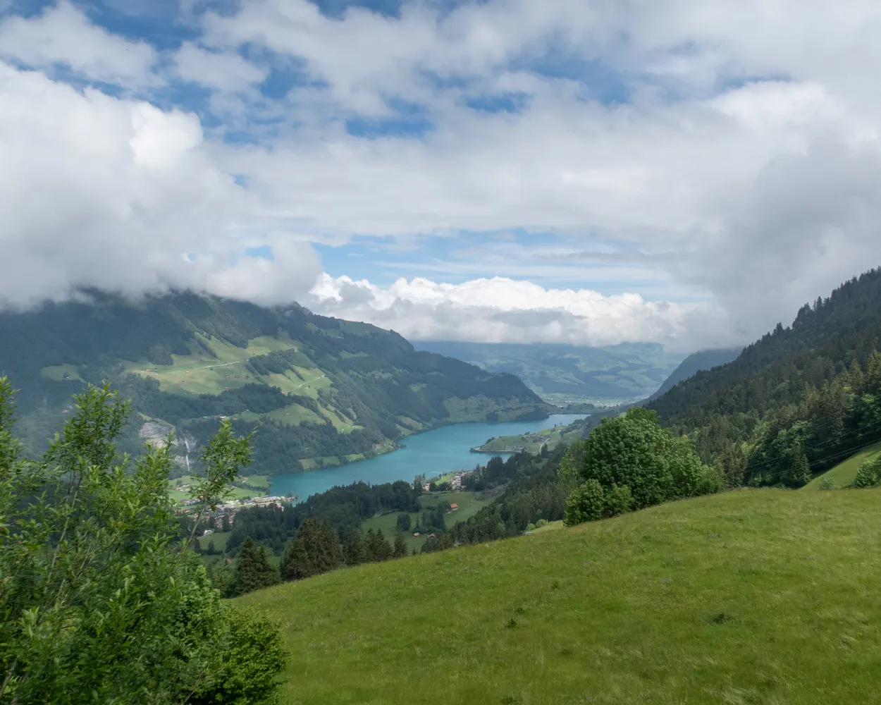
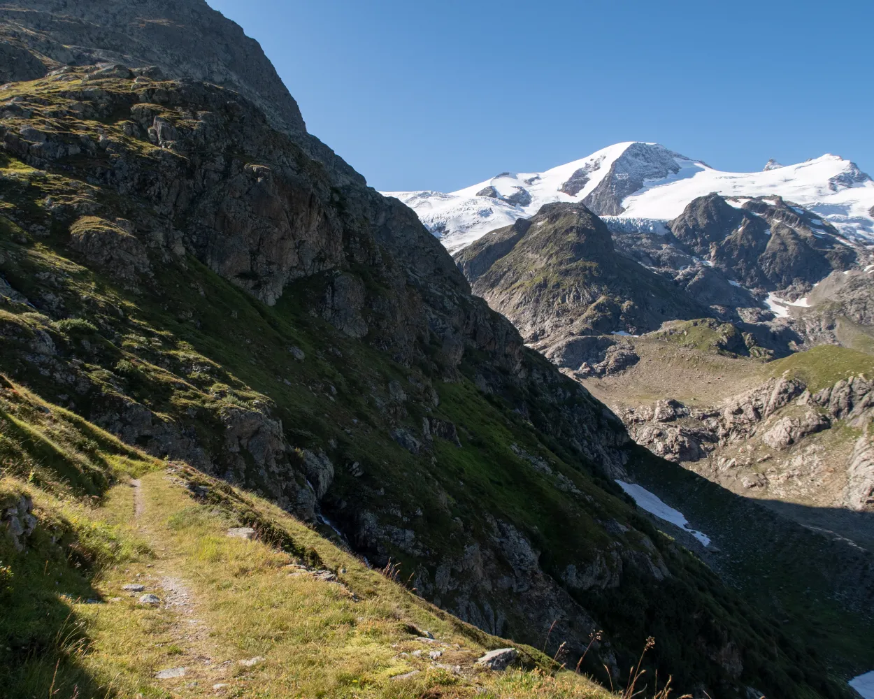
High above the Lungernsee lake, passing quaint alp chapels, the path climbs to Älggialp and the geographical centre of Switzerland. Over a rock barrier to the lake plateau of Melchsee-Frutt at a lofty altitude, goal of rest and recreation seekers in summer and winter.
24 km1900 m1000 m8h 40mLandscape: With panoramic views,Onto an alp
Tour published by:
SwitzerlandMobility
Learn more on
schweizmobil.ch

The Nidwaldner Höhenweg offers varied hiking on mountain trails with grandiose views. Two monastery villages invite you to visit. The many mountain cableway connections make it possible to split the five-day hike.
94 km6100 m6400 mLandscape: With panoramic views
Tour published by:
SwitzerlandMobility
Learn more on
schweizmobil.ch
The hiking trail along the Obwalden mountain flank of Huetstock, Nünalphorn and Widderfeldstock leads past alpine huts, over pastures and through small forests towards the Storegg pass. It offers beautiful views of the wild landscape of the Melchtal valley. After crossing the pass, you can take the Eggen cable car back down.
13 km760 m900 m4h 25mLandscape: With panoramic views
Tour published by:
SwitzerlandMobility
Learn more on
schweizmobil.ch
| Melchsee-Frutt, alte Bergstat. (09:00) | |
| 349 (1m) | |
| Melchsee-Frutt, Dörfli (09:01) |

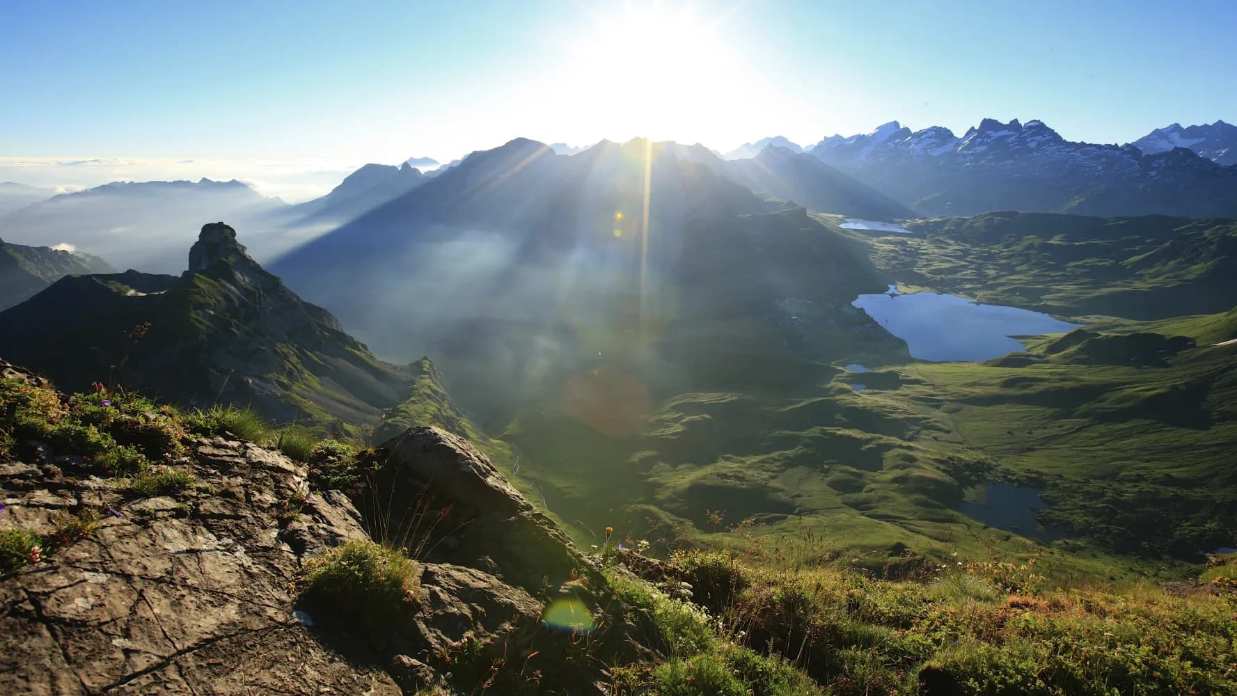
Fabulous mountain scenery around mighty Mount Titlis, unique flora, the crystal-clear waters of Lakes Melch, Tannen, Engstlen and Trüb – this route linking Melchsee-Frutt and Engelberg is justly rated as one of the classic high-altitude hikes.
15 km620 m760 m4h 35mLandscape: Along the water,Onto an alp,With panoramic views
Tour published by:
SwitzerlandMobility
Learn more on
schweizmobil.ch
| Melchsee-Frutt, alte Bergstat. (09:00) | |
| 349 (13m) | |
| Melchsee-Frutt, Tannendamm (09:13) |
A long ascent from Hasliberg-Reuti leads through forests and across alpine farms to the Planplatten ridge. Along the steep mountain flank of the Rothorn, still following the ridge, you arrive at the Tannalp. Via the rock path down through Spycherflüö, you reach the historic Engstlenalp spa building with its lake.
19 km1500 m720 m6h 50mTour published by:
SwitzerlandMobility
Learn more on
schweizmobil.ch
The Via Alpina crosses 14 of the most beautiful Alpine passes. Straight through seven Swiss cantons with a vast variety of culture, geology and topography. Wide roads end in high ridge trails. The route is lined with one of the world’s most diverse variety of flora and fauna.
390 km23500 m24800 mLandscape: With panoramic views,Onto a mountain peak,Over a pass
Tour published by:
SwitzerlandMobility
Learn more on
schweizmobil.ch
| Melchsee-Frutt, alte Bergstat. (09:00) | |
| 349 (23m) | |
| Melchsee-Frutt, Fachshubel (09:23) |
The Via Berna presents a cross-section of the diverse canton of Bern. From the gentle hills on the edge of the Franches-Montagnes, it crosses the highest Jura fold. Along the Aare to Lake Thun, across several Alpine passes and on mountain trails with incredible views, you can reach Susten Pass in 20 stages.
305 km13700 m12400 mTour published by:
SwitzerlandMobility
Learn more on
schweizmobil.ch

Through Alpine flora to Tannalp with dairy, inn and lake. The ridge hike over Balmeregghorn, with wonderful views of the Eiger, Mönch & Jungfrau is truly impressive. Muggenstutz the dwarf and a sculpture garden promise variety on the way to Meiringen.
22 km740 m1950 m7h 0mLandscape: Over a pass,Onto a mountain peak
Tour published by:
SwitzerlandMobility
Learn more on
schweizmobil.ch


