
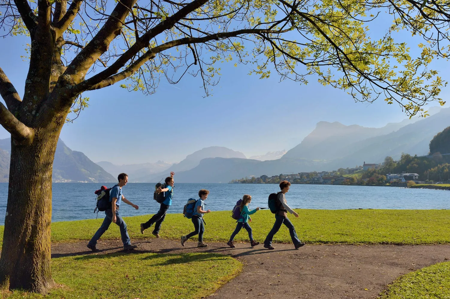
Discover a variety of beautiful hikes accessible by public transport from Weggis. From lakeside trails along the Vierwaldstättersee to challenging mountain paths on the Rigi, there's something for every hiker. Explore the Mediterranean-like forests, enjoy panoramic views of the Alps, and experience the charm of central Switzerland's landscapes.
The following hikes are sorted by travel time from Weggis, making it easy to plan your next outdoor adventure. Check out the map to explore thousands of destinations and activities, reachable from any starting point in Switzerland.
Much more on ovunta.com/en/map
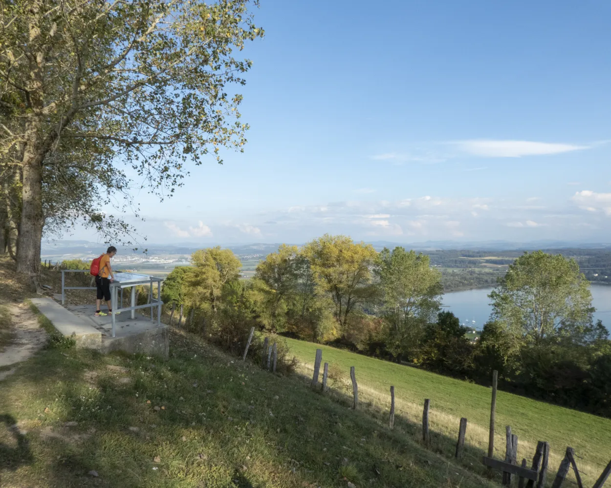
The Waldstätterweg leads around the touristic highlight of the Vierwaldstättersee (Lake Lucerne). Explore the natural and cultural landscape with its historic sites, villages, lake shores and city on foot. Discover the heart of Central Switzerland anew.
 115 km
 4800 m
 4800 m
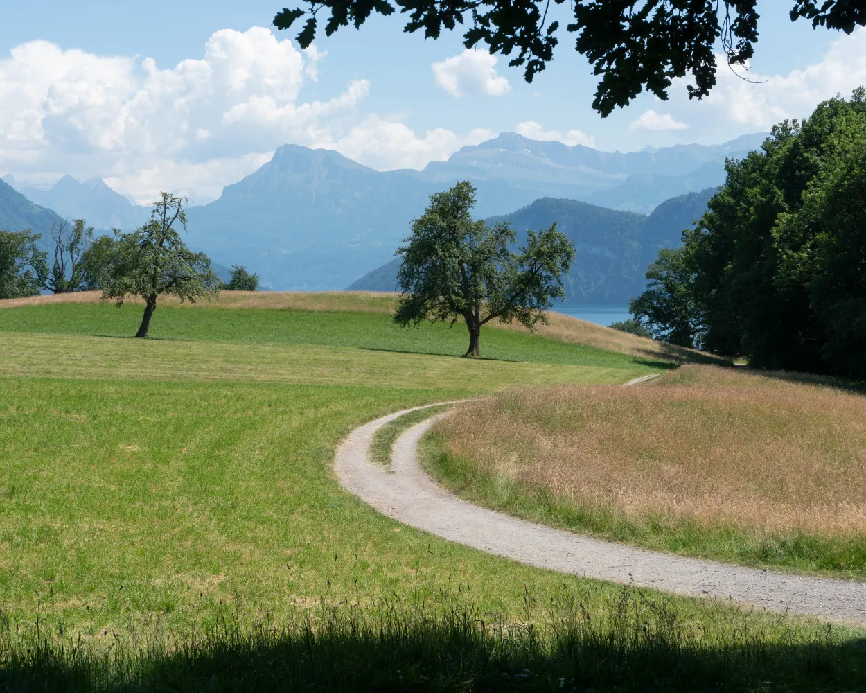
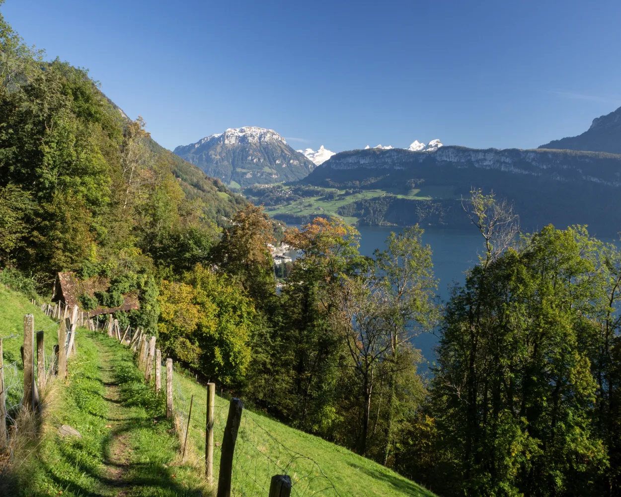
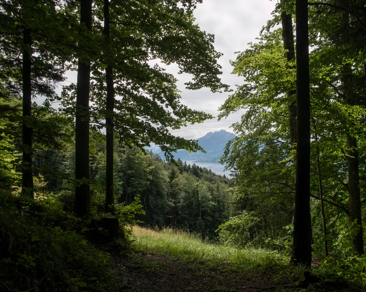
Landscape: With panoramic views,Along the water
Tour published by:
SwitzerlandMobility
Learn more on
schweizmobil.ch
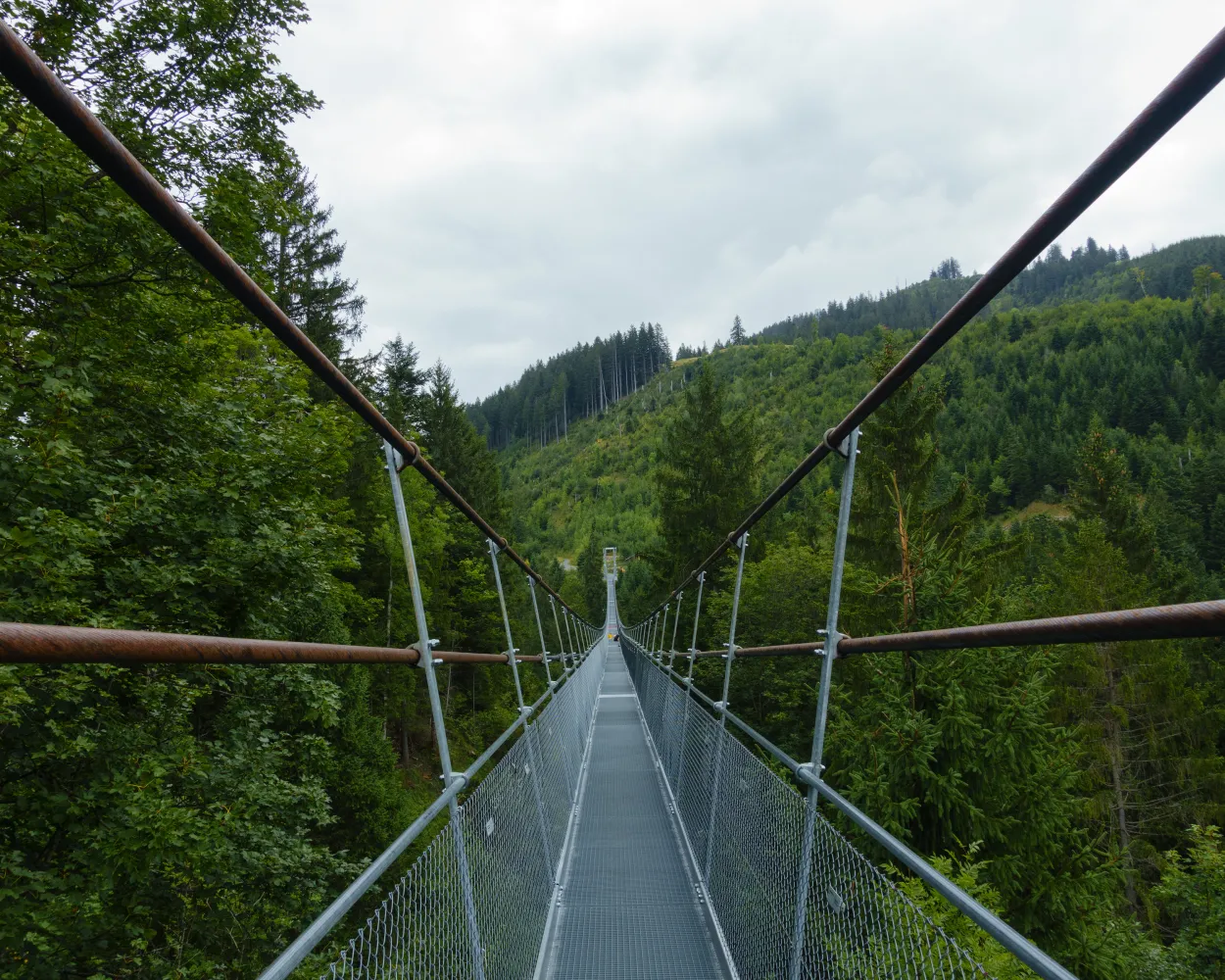
Via ladders on the Riviera - past orchards to Oberwilen and via the narrow molasse folds with ladders that at one time afforded the only overland link to Weggis. Through the Chestenenweid nature reserve via Weggis, Hertenstein and the Haldihof fruit farm to Küssnacht.
19 km800 m780 m 5h 45m
Landscape: Along the water
Tour published by:
SwitzerlandMobility
Learn more on
schweizmobil.ch
| Weggis, Dorfplatz (08:33) | |
| 508 (2m) | |
| Weggis, Zopf (08:35) |
A touch of southern ambiance - from Brunnen on the Waldstätterquai and the Auslandschweizerplatz on the Seestrasse to Brünischart and the start of the mountain trail through almost Mediterranean-like forest vegetation with wonderful panoramic views. Vitznau is reached via Gersau.
15 km740 m740 m5h 0mLandscape: Along the water
Tour published by:
SwitzerlandMobility
Learn more on
schweizmobil.ch
| Weggis, Dorfplatz (08:57) | |
| 508 (9m) | |
| Vitznau, Station (09:06) |
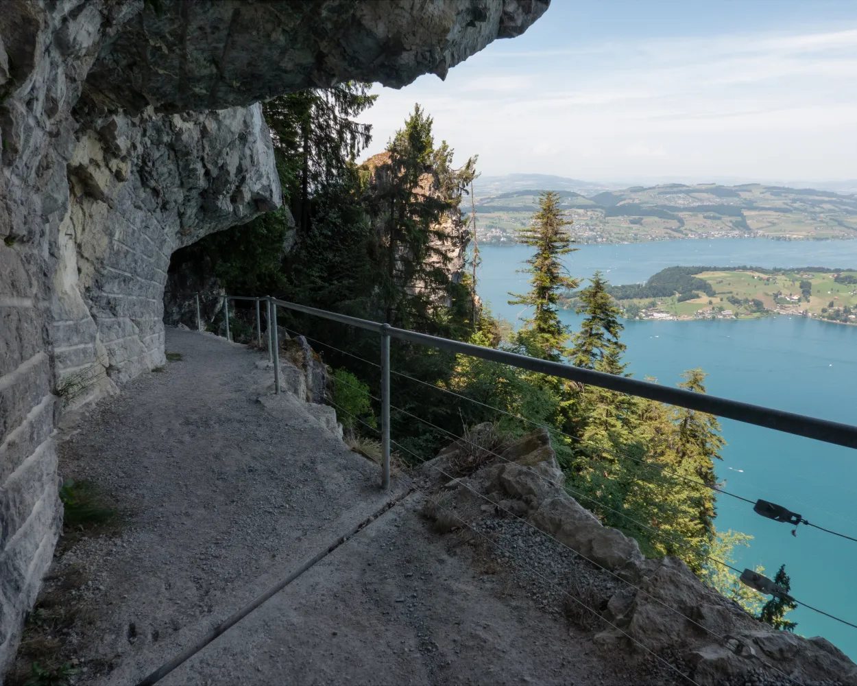
The first stage of the Schwyzer Höhenweg (high-level trail) is a relatively short but steep hike to the highest point of the Rigi at 1,797 metres above sea level. The spectacular panoramic views, the lovely location between three lakes and the wide range of leisure activities contribute to this mountain's popularity.
9 km1200 m50 m3h 50mLandscape: Onto a mountain peak,Onto an alp,With panoramic views
Tour published by:
SwitzerlandMobility
Learn more on
schweizmobil.ch
| Weggis, Dorfplatz (08:33) | |
| 508 (14m) | |
| Küssnacht am Rigi, Hauptplatz (08:47) |
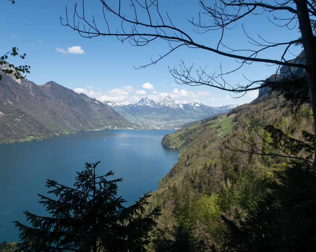
The Schwyzer Panoramaweg is characterized by three history-steeped mountains: the Rigi, Rossberg and Mythen. Spectacular scenery and views deep into the valleys of Switzerland’s founding canton as well as of the Zugersee and Vierwaldstättersee lakes.
62 km4200 m3800 mLandscape: With panoramic views
Tour published by:
SwitzerlandMobility
Learn more on
schweizmobil.ch
A lakeside promenade along the Vierwaldstättersee from Beckenried into the impressive Risleten Gorge, with its ancient dinosaur traces. After a steep climb, the romantic high-level trail towards Seelisberg. Far below, the shimmering turquoise lake.
21 km820 m480 m6h 0mLandscape: Along the water
Tour published by:
SwitzerlandMobility
Learn more on
schweizmobil.ch
Via the north wall to the other shore and the Bürgenstock cliff path, which as an Alpine promenade, afforded well-heeled ladies and gentlemen a view back to the city of Lucerne. Past the pilgrimage site of St Jost along the shore at Ennetburgen, Buochs and Beckenried.
13 km300 m740 m3h 45mLandscape: With panoramic views,Along the water
Tour published by:
SwitzerlandMobility
Learn more on
schweizmobil.ch
This stage includes a boat trip from Brunnen to Treib, where the cantons of Uri, Schwyz and Nidwalden meet. The chapels along the way and the Winkelried monument in Stans are worth seeing.
29 km880 m950 m8h 0mLandscape: Along the water
Tour published by:
SwitzerlandMobility
Learn more on
schweizmobil.ch
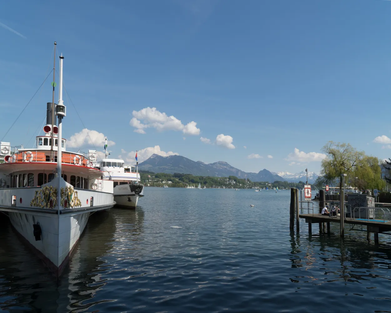
Stroll with views of the Alps - from Küssnacht through the nature reserves in Wagenmoos, along the lakeshore at Meggen and Meggehorn castle. Approach to the city of Lucerne and arrival along the 19th-century tourism alley, its quay with distant views of the Alps.
17 km420 m440 m4h 30mLandscape: With panoramic views,Along the water
Tour published by:
SwitzerlandMobility
Learn more on
schweizmobil.ch
| Weggis, Dorfplatz (08:33) | |
| 508 (21m) | |
| Küssnacht am Rigi, Bahnhof (08:54) |
The long-distance Trans Swiss Trail from Porrentruy to Mendrisio is one of the last great adventures in highly-developed Switzerland. A variety of landscapes, cultures and places of interest await along the 32 stages of the 488-km trail.
510 km17800 m17900 mLandscape: With panoramic views,Over a pass
Tour published by:
SwitzerlandMobility
Learn more on
schweizmobil.ch
| Weggis (08:53) | |
| 3600 (33m) | |
| Beckenried (See) (09:26) |


