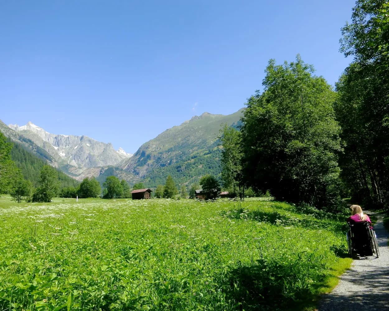
These ten barrier-free destinations are all reachable from Sedrun by public transport, offering a range of accessible adventures. From tranquil riverside walks along the Wysswasser to panoramic views of Lake Uri, there's something for everyone. The routes showcase Switzerland's natural beauty, including the Valais mountains, the Rhine dam in Liechtenstein, and the charming Blenio Valley.
The destinations are sorted by travel time from Sedrun, making it easy to plan your next accessible outing. Check out the map to explore thousands of destinations and activities, reachable from any starting point in Switzerland.
Much more on ovunta.com/en/map
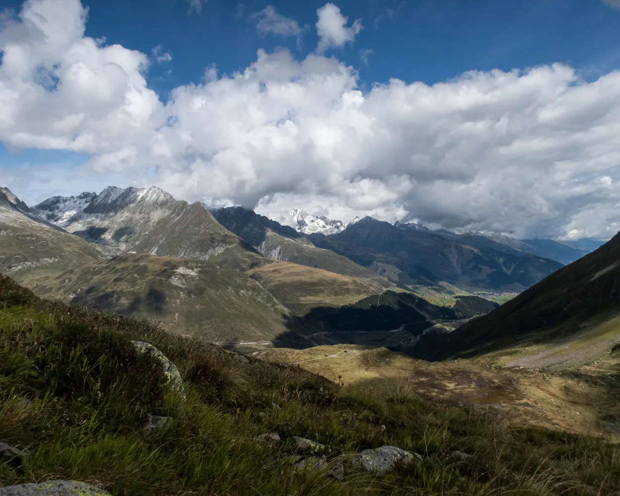
The Senda Sursilvana affords an insight into a whole region, one which holds many natural and cultural treasures. A high-level hike with several detours to the banks of the young Rhine.
 105 km
 3300 m
 4800 m
Landscape: Over a pass,With panoramic views
Tour published by:
SwitzerlandMobility
Learn more on
schweizmobil.ch
The route starts at the historic Oberalp Pass. From here, you’ll dip into the cultural landscape of the Surselva region. This stage is a particular delight for plant lovers. But those more interested in geology will also be drawn to the crystal-rich mountain peaks.
14 km500 m1100 m 4h 15m
Landscape: With panoramic views,Over a pass
Tour published by:
SwitzerlandMobility
Learn more on
schweizmobil.ch
The Hexenplatte, (Witches' Stone), is a flat rock in the middle of a meadow on the Alp Caschlé. Legend has it that it was brought to Caschlé from the opposite side of the valley, suspended from the thread of a spider's web, and that witches once danced upon it.
12 km860 m860 m4h 20mLandscape: With panoramic views
Tour published by:
SwitzerlandMobility
Learn more on
schweizmobil.ch
| Sedrun (08:33) | |
| R45 (2m) | |
| Rueras (08:35) |
On the move in the world of the Walser people: from the Valais homeland, the trail follows in the footsteps of the settlers to areas in Surselva in Grisons. The route includes secluded pass routes from Binn to the upper Maggia Valley via Formazza in Italy. Other more well-known crossings lead to the Gotthard area and the Oberalp Pass. The long hike ends on isolated trails in Obersaxen, after you have covered more than 200 kilometres and an altitude difference of 14,000 metres.
210 km13900 m14000 mTour published by:
SwitzerlandMobility
Learn more on
schweizmobil.ch
From the Oberalp Pass, mountain paths that are mainly narrow wind down to the hamlet of Tschamut and then onwards across the golf course to the Walser settlement of Selva. After Cavorgia, the route climbs uphill again through the forest, and continues to the saddle above Mutschnengia. The stage ends just as steeply, through wild mountain forests and over freight roads in the Walser village of Curaglia.
21 km700 m1400 m6h 0mTour published by:
SwitzerlandMobility
Learn more on
schweizmobil.ch
| Sedrun (08:33) | |
| R45 (5m) | |
| Dieni (08:38) |
An impressive trail climbs steeply through the barrier woodland to the Gütsch. The view of the Urseren Valley and the Uri Alps is magnificent here. The high-altitude hike continues past Lake Lutersee and up to Felli Gap. Down through the valley, marked by watercourses, it ends at the Oberalp Pass with its lighthouse.
13 km1100 m500 m5h 0mTour published by:
SwitzerlandMobility
Learn more on
schweizmobil.ch
Benedictine monk Placidus A. Spescha (1752 – 1833) once had this to say about Lake Toma: «This lake some 200 paces wide and 400 paces long is the basin from which the upper Rhine takes its source. It is a beautiful area, a worthy setting for the wellspring of such a river.»
10 km900 m900 m4h 25mLandscape: With panoramic views,Onto a mountain peak,Over a pass
Tour published by:
SwitzerlandMobility
Learn more on
schweizmobil.ch
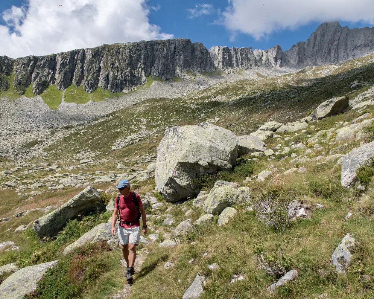
The Vier-Quellen-Weg (Four Headwaters Trail) in the Gotthard Massif leads to the sources of four rivers: the Rhine, Reuss, Ticino and Rhone. A tour through an exceptional Alpine landscape with a wide diversity of fauna, flora and witnesses to a historic past.
82 km4700 m4400 mLandscape: Onto an alp,Along the water,With panoramic views
Tour published by:
SwitzerlandMobility
Learn more on
schweizmobil.ch
| Sedrun (08:33) | |
| R45 (21m) | |
| Oberalppass (08:54) |
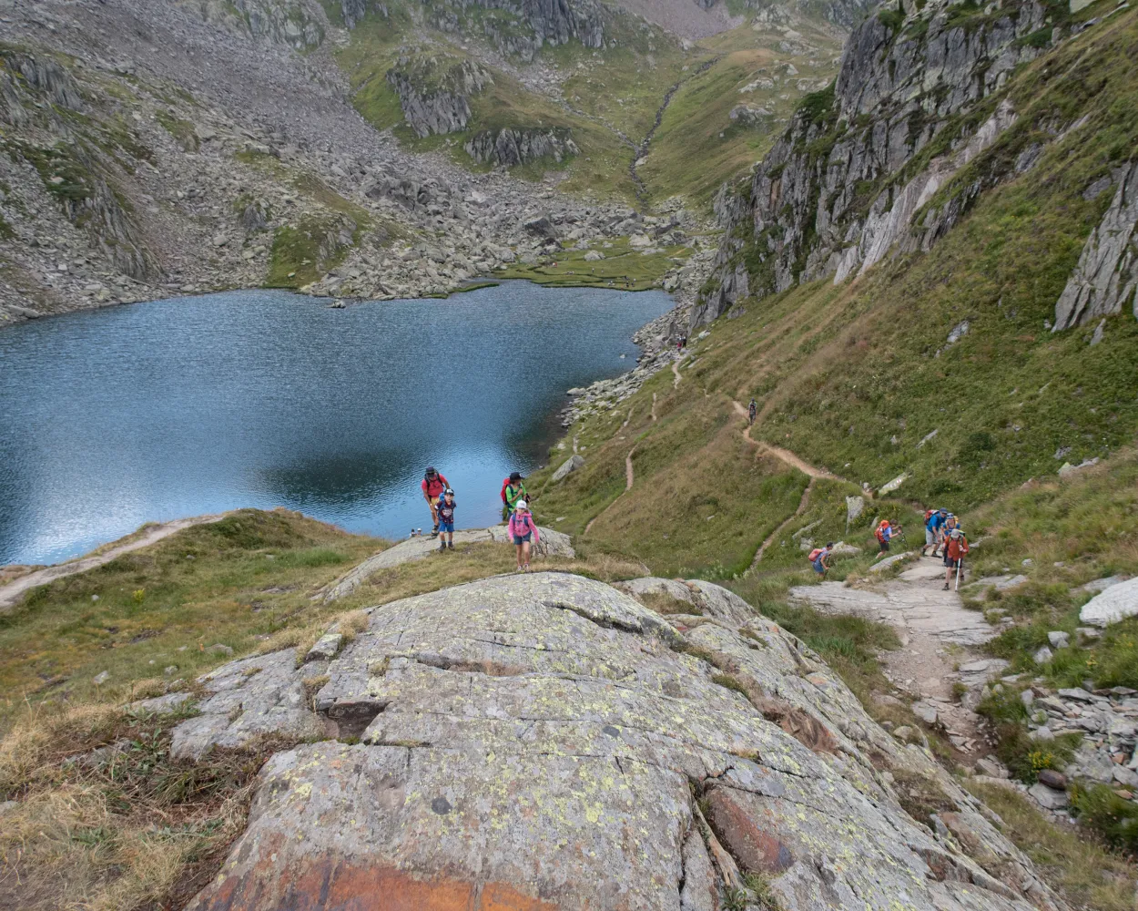
The lakes of Lag Serein and Lag Crest Ault nestle in little hollows below the rugged rocky faces of Piz Acletta and Piz Run. There are picnic spots along the shores of the lakes, with fantastic views of the mountain range opposite, featuring the Medelser Glacier.
11 km560 m1200 m4h 0mLandscape: With panoramic views
Tour published by:
SwitzerlandMobility
Learn more on
schweizmobil.ch
| Sedrun, Tgèsa Communala (08:50) | |
| 420 (14m) | |
| Acla da Fontauna, center sport (09:04) |
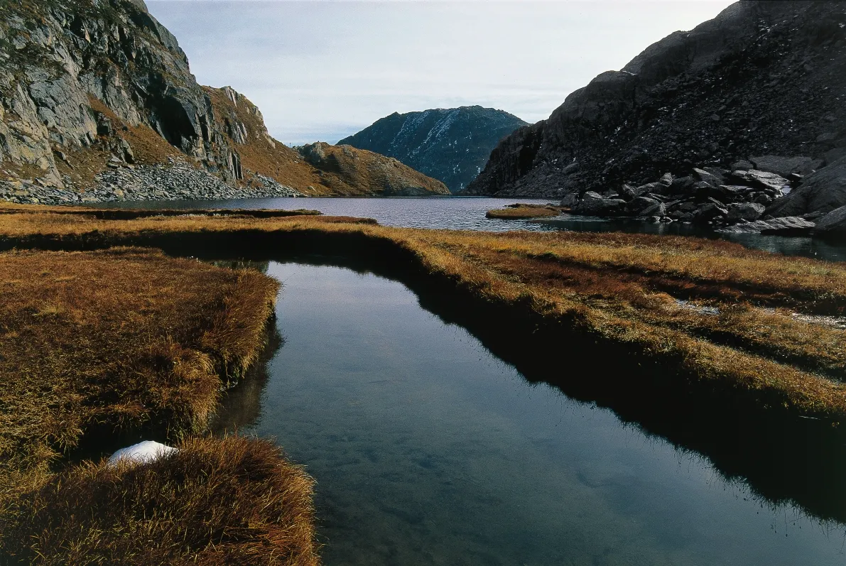
At over 2,000 metres above sea level, this hike leads across lush, scree-strewn meadows between massive slanting rock faces. Gentian, alpine roses and white cotton grass thrive around the high-moor lakes. One can cross the Rhine with three steps at its source; its water is even drinkable here.
13 km820 m820 m4h 35mTour published by:
SwitzerlandMobility
Learn more on
schweizmobil.ch
| Sedrun (08:33) | |
| R45 (21m) | |
| Oberalppass (08:54) |


