Logo
Blog
To the map
Blog header image

Snowshoeing from Weggis by public transport

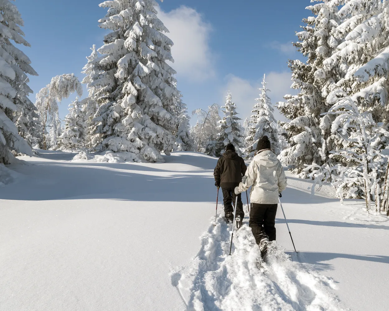
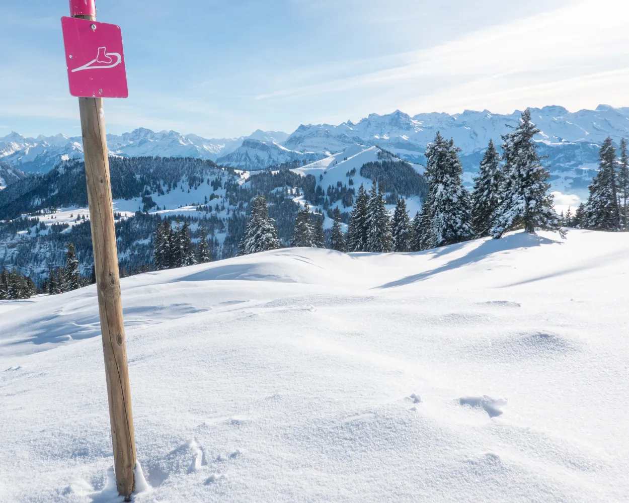
Discover a winter wonderland on these snowshoe hikes, all easily reachable from Weggis by public transport. Snow-covered forests, wide alpine plateaus, and scenic routes offer memorable experiences in the heart of the Alps.

To make planning easier, the hikes below are sorted by travel time from Weggis. Explore the map to find all snowshoe hikes and thousands of other outdoor activities accessible from anywhere in Switzerland.

Much more on ovunta.com/en/map
Discover other activities close to Weggis

  • Winter Hikes from Weggis by public transport
  • Sledging runs from Weggis by public transport
  • Cross-country skiing resorts from Weggis by public transport
  • From Weggis to the Mountains: Ski Resorts You Can Access Easily by Public Transport
  • Scenic Hikes Around Weggis

Start from elsewhere?

  • Snowshoeing from Glarus by public transport
  • Snowshoeing from Sarnen by public transport
  • Snowshoeing from Aarau by public transport
1/10

Chäserenholz-Schneeschuhtrail

Minimum travel time: 54m to Rigi Kulm

The circular hike on top of the Rigi offers fascinating views of Lake Lucerne, the Alps of Uri, the cities of Lucerne and Zug, and the lakes of Central Switzerland. From the mountain station, the snowshoe trail leads to Alp Chäserenholz, with views of the Grosse and Kleine Mythen, the landmarks of the Canton of Schwyz.

dist2 km
|
asce150 m
|
desc150 m
|
dura1h 5m

    Tour published by:

    SwitzerlandMobility

    Learn more on
    schweizmobil.ch


    How to get to Chäserenholz-Schneeschuhtrail

    Fastest connection from Weggis to Rigi Kulm: 54m
    Walk from to
    509 (2m)
    Walk from to
    PB (10m)
    Walk from to
    82 (12m)
    Search Connections & Buy Tickets on SBB
    2/10

    Biberegg-Herrenboden-Schneeschuhtrail

    Minimum travel time: 1h 11m to Biberegg

    Bridges and views are the stars of this snowshoe trail. Along the way, hikers can take off their snowshoes and enjoy a special experience: the foot suspension bridge in Sattel-Hochstuckli.

    dist10 km
    |
    asce640 m
    |
    desc640 m
    |
    dura5h 20m
    • land

      Landscape: With panoramic views,Over a suspension bridge

    Tour published by:

    SwitzerlandMobility

    Learn more on
    schweizmobil.ch


    How to get to Biberegg-Herrenboden-Schneeschuhtrail

    Fastest connection from Weggis to Biberegg: 1h 11m
    Walk from to
    508 (22m)
    Walk from to
    S3 (12m)
    S31 (14m)
    Search Connections & Buy Tickets on SBB
    3/10

    Brämegg Rundtrail

    Minimum travel time: 1h 16m to Klewenalp

    From the start at the Klewenalp mountain station high above Lake Lucerne, the trail first leads downhill to Wangiboden. Further on, the Brämegg viewpoint boasts spectacular views of the lake and the mountains of Central Switzerland. Head back to the mountain station via Röthen.

    dist3 km
    |
    asce190 m
    |
    desc190 m
    |
    dura1h 40m
    • land

      Landscape: With panoramic views,Onto an alp,Onto a mountain peak

    Tour published by:

    SwitzerlandMobility

    Learn more on
    schweizmobil.ch


    How to get to Brämegg Rundtrail

    Fastest connection from Weggis to Klewenalp: 1h 16m
    Walk from to
    508 (9m)
    Walk from to
    3600 (17m)
    Walk from to
    2556 (10m)
    Search Connections & Buy Tickets on SBB
    4/10

    Waldhüttli-Schneeschuhtrail

    Minimum travel time: 1h 28m to Stoos Bergstat. (Luftseilb)

    This trail takes hikers from a bustling winter sports resort to total seclusion in no time at all. At the highest point on the tour lies a hidden gem: the cosy Waldhüttli mountain pub.

    dist7 km
    |
    asce360 m
    |
    desc360 m
    |
    dura3h 25m
    • land

      Landscape: With panoramic views,Onto an alp

    Tour published by:

    SwitzerlandMobility

    Learn more on
    schweizmobil.ch


    How to get to Waldhüttli-Schneeschuhtrail

    Fastest connection from Weggis to Stoos Bergstat. (Luftseilb): 1h 28m
    Walk from to
    508 (41m)
    504 (3m)
    504 (16m)
    Walk from to
    2580 (8m)
    Search Connections & Buy Tickets on SBB
    5/10

    Guggeli-Schneeschuhtrail

    Minimum travel time: 1h 33m to Muotathal, Post

    This circular route is especially popular with beginners and snowshoe hiking enthusiasts. Discover the sunny side of Muotathal in the southern part of the village and, if you like, make a detour to a spiritual site.

    dist4 km
    |
    asce220 m
    |
    desc220 m
    |
    dura1h 55m

      Tour published by:

      SwitzerlandMobility

      Learn more on
      schweizmobil.ch


      How to get to Guggeli-Schneeschuhtrail

      Fastest connection from Weggis to Muotathal, Post: 1h 33m
      Walk from to
      508 (21m)
      Walk from to
      VAE (11m)
      Walk from to
      501 (42m)
      Search Connections & Buy Tickets on SBB
      6/10

      Ober-Altberg-Schneeschuhtrail

      Minimum travel time: 1h 41m to Rickenbach SZ, Oberberg

      On the sun terrace above Illgau, not far from the cantonal capital of Schwyz, lies a charming landscape of gently rolling hills. The special tranquillity of this area makes it very popular with snowshoe hikers and nature lovers.

      dist9 km
      |
      asce560 m
      |
      desc560 m
      |
      dura4h 40m

        Tour published by:

        SwitzerlandMobility

        Learn more on
        schweizmobil.ch


        How to get to Ober-Altberg-Schneeschuhtrail

        Fastest connection from Weggis to Rickenbach SZ, Oberberg: 1h 41m
        Walk from to
        508 (22m)
        Walk from to
        S3 (22m)
        Walk from to
        505 (25m)
        Search Connections & Buy Tickets on SBB
        7/10

        Fräkmüntegg Trail

        Minimum travel time: 1h 42m to Fräkmüntegg

        The easy snowshoe tour on Pilatus leads from Fräkmüntegg over open meadows of Alp Bonern and back through the «Rehlöcher» forest. During the hike you cross the border from Lucerne to Nidwalden and enjoy a beautiful view of Lucerne, Lake Lucerne, the midland and the northern foothills of the Alps.

        dist3 km
        |
        asce180 m
        |
        desc180 m
        |
        dura1h 35m
        • land

          Landscape: With panoramic views,Onto an alp

        Tour published by:

        SwitzerlandMobility

        Learn more on
        schweizmobil.ch


        How to get to Fräkmüntegg Trail

        Fastest connection from Weggis to Fräkmüntegg: 1h 42m
        Walk from to
        EV (10m)
        Walk from to
        3600 (27m)
        Walk from to
        1 (12m)
        Walk from to
        2516 (30m)
        Search Connections & Buy Tickets on SBB
        8/10

        Eggberge–Ruogig Trail

        Minimum travel time: 1h 42m to Eggberge

        From Eggbergen, an alpine terrace below Rophaien and Schön Chulm, snowshoers can trek through delightful scenery towards Hüenderegg.The reward awaiting them there is a tremendous view of the Urner mountain scenery.

        dist5 km
        |
        asce480 m
        |
        desc200 m
        |
        dura3h 0m
        • land

          Landscape: Onto a mountain peak,With panoramic views

        Tour published by:

        SwitzerlandMobility

        Learn more on
        schweizmobil.ch


        How to get to Eggberge–Ruogig Trail

        Fastest connection from Weggis to Eggberge: 1h 42m
        Walk from to
        508 (22m)
        Walk from to
        S3 (12m)
        IR26 (20m)
        Walk from to
        413 (1m)
        Walk from to
        PB (9m)
        Search Connections & Buy Tickets on SBB
        9/10

        Raten Trail

        Minimum travel time: 1h 43m to Alosen, Raten

        Discover the wildly romantic side of winter high above the Ägerital valley on the highest snowshoe trail in the canton of Zug, traverse snow-capped forests, and gaze out on the Säntis from the Central Swiss Alps.

        dist5 km
        |
        asce170 m
        |
        desc170 m
        |
        dura2h 5m

          Tour published by:

          SwitzerlandMobility

          Learn more on
          schweizmobil.ch


          How to get to Raten Trail

          Fastest connection from Weggis to Alosen, Raten: 1h 43m
          Walk from to
          508 (21m)
          Walk from to
          VAE (29m)
          Walk from to
          609 (23m)
          610 (9m)
          Search Connections & Buy Tickets on SBB
          10/10

          Schneeschuhtrail First

          Minimum travel time: 1h 45m to Hasle LU, Heiligkreuz Kirche

          Snow crunching underfoot amidst a snowy winter landscape – the range of hills featuring the Napf on the right, a mountain backdrop with the Risetenstock, Schimbrig and Schafmatt on the left. And once you arrive at the First, a welcome Entlebuch-style coffee with schnapps. What more could you ask for?

          dist7 km
          |
          asce380 m
          |
          desc380 m
          |
          dura3h 15m

            Tour published by:

            SwitzerlandMobility

            Learn more on
            schweizmobil.ch


            How to get to Schneeschuhtrail First

            Fastest connection from Weggis to Hasle LU, Heiligkreuz Kirche: 1h 45m
            Walk from to
            EV (10m)
            Walk from to
            3600 (27m)
            Walk from to
            RE7 (31m)
            Walk from to
            233 (9m)
            Search Connections & Buy Tickets on SBB