
Discover a world of breathtaking hikes accessible by public transport from Engelberg. From challenging mountain stages over the Jochpass to scenic walks around crystal-clear alpine lakes, these trails showcase the best of central Switzerland's natural beauty. Whether you're looking to conquer the snow-capped Titlis or enjoy panoramic views of the Bernese Oberland, there's a perfect route for every hiker.
The following hikes are sorted by travel time from Engelberg, making it easy to plan your next outdoor adventure. Check out the map to explore thousands of destinations and activities, reachable from any starting point in Switzerland.
Much more on ovunta.com/en/map
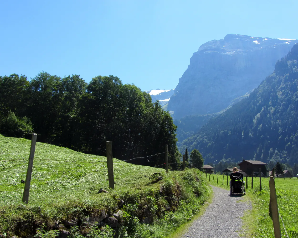
Engelberg – a well-known and popular excursion destination. This round tour leads from the impressive monastery to the picturesque River Engelberger Aa and constantly affords wonderful views of idyllic rural landscapes and the spectacular mountain panorama.
 8 km
8 km 100 m
100 m 100 m
100 m 2h 5m
2h 5m
Barrier free: Yes

Landscape: With panoramic views
Tour published by:
SwitzerlandMobility
Learn more on
schweizmobil.ch
The Benedictine way leads from the cloister in Engelberg to the one at Maria-Rickenbach. The route is quite varied and offers beautiful panoramic views of the valley and mountains.
22 km1600 m1450 m8h 15mLandscape: With panoramic views
Tour published by:
SwitzerlandMobility
Learn more on
schweizmobil.ch

The Nidwaldner Höhenweg offers varied hiking on mountain trails with grandiose views. Two monastery villages invite you to visit. The many mountain cableway connections make it possible to split the five-day hike.
94 km6100 m6400 mLandscape: With panoramic views
Tour published by:
SwitzerlandMobility
Learn more on
schweizmobil.ch
| Engelberg, Bahnhof (08:45) | |
| 300 (3m) | |
| Engelberg, Wetti (08:48) |
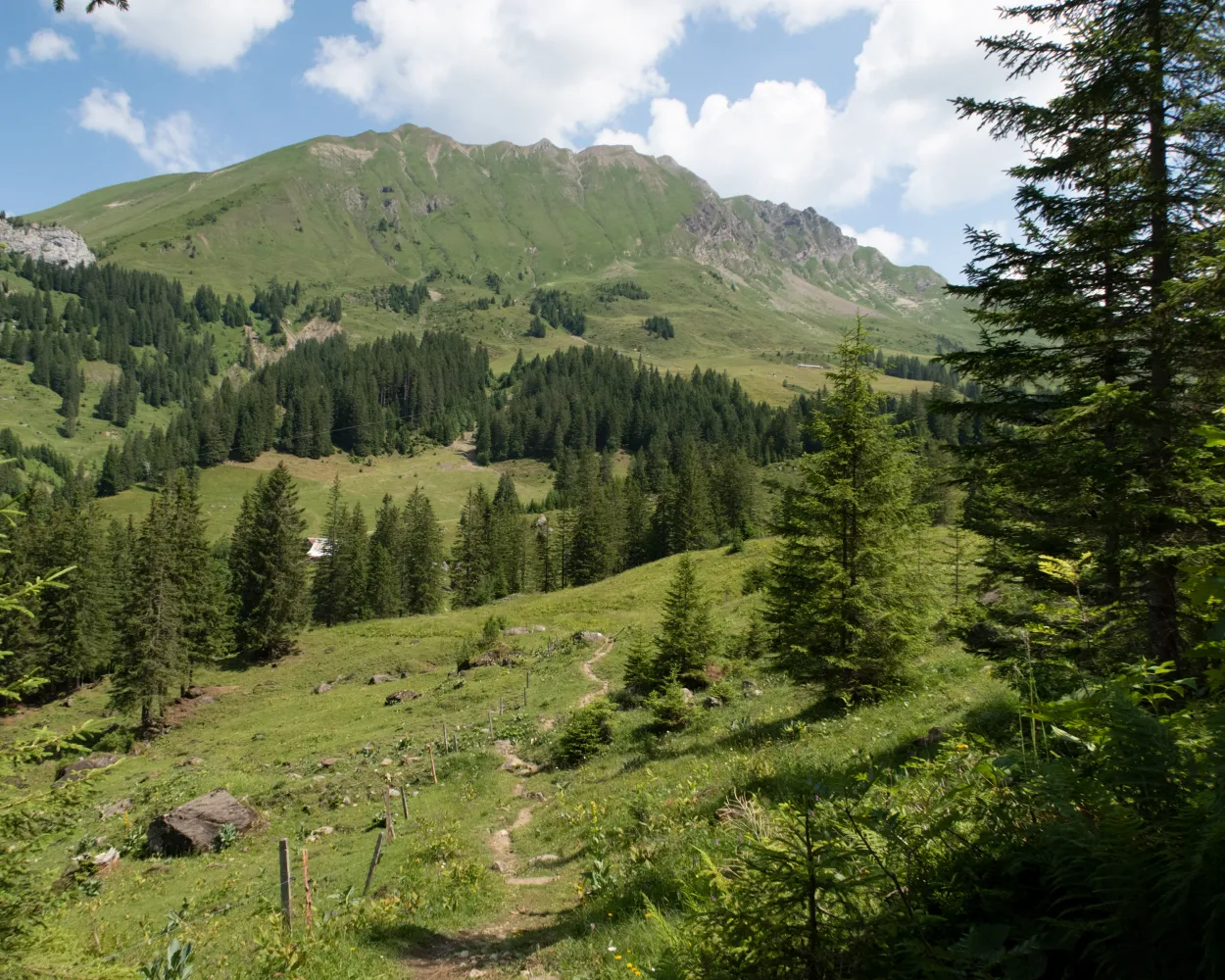
After the ascent to Brunnihütte at 1860 m you hike on the famous Walenweg path with the magnificent Walegg vantage point and superb views of the Central Alps. In the 1930s, the Bannalpsee lake was the source of a fierce dispute over the energy supply.
22 km1500 m1600 m8h 0mLandscape: With panoramic views,Onto an alp
Tour published by:
SwitzerlandMobility
Learn more on
schweizmobil.ch
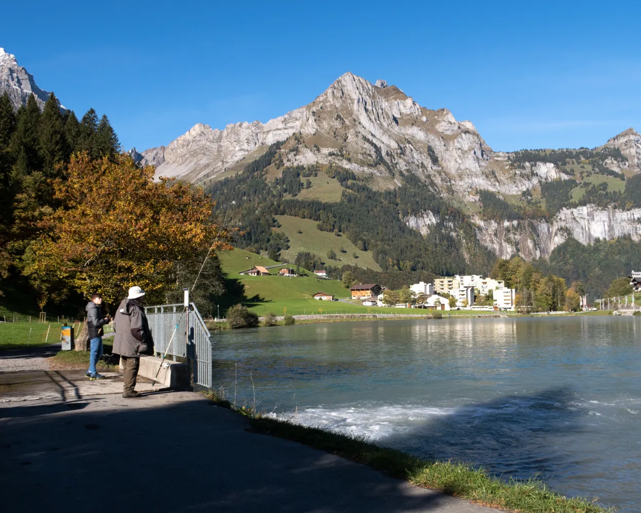
Hike from the delightful shores of the Vierwaldstättersee up to the mountain valley of Engelberg. On the way, several cultural historic sites, such as the centre of Stans, the monastery retreat of Grafenort and Engelberg monastery.
26 km700 m140 m7h 0mLandscape: With panoramic views
Tour published by:
SwitzerlandMobility
Learn more on
schweizmobil.ch
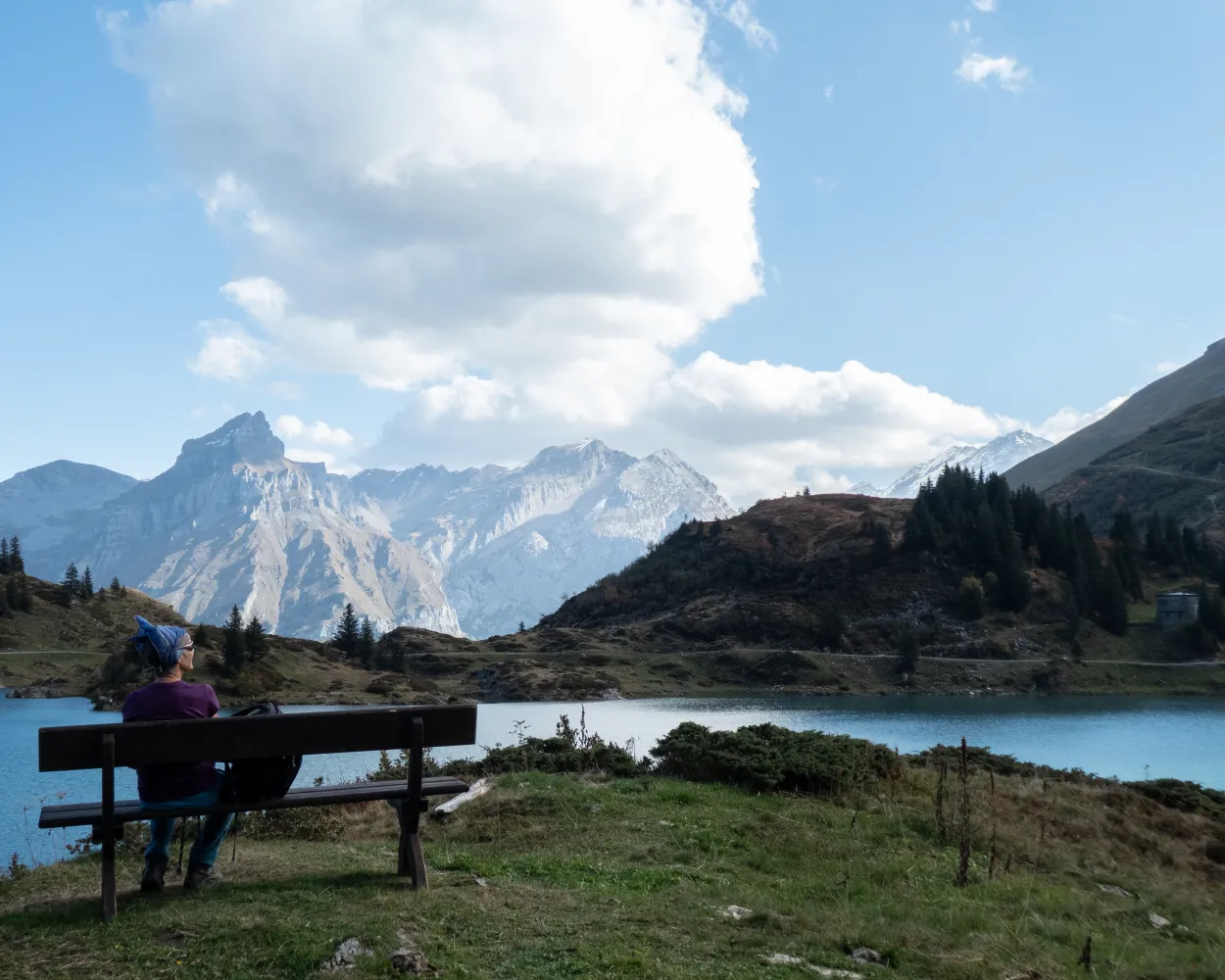
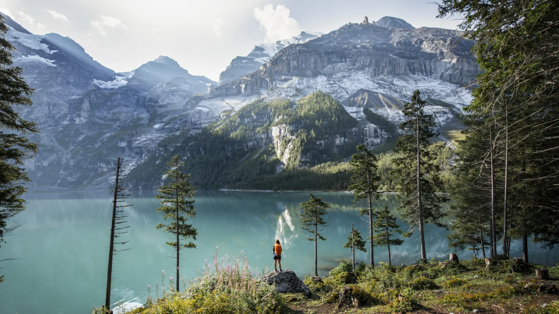
Past four wonderful mountain lakes and over the Jochpass to the monastery village of Engelberg. The nearby imposing mountain world of the Hochstollen, Glogghuis and Titlis bids you welcome. The long descent to Engelberg can be shortened with the aerial cableway.
21 km640 m1550 m6h 20mLandscape: Over a pass,With panoramic views
Tour published by:
SwitzerlandMobility
Learn more on
schweizmobil.ch
| Engelberg, Bahnhof (08:36) | |
| 300 (2m) | |
| Engelberg, Titlisbahn (08:38) |
In the late Middle Ages, the «Sbrinz» hard cheese became a top Inner Switzerland export at the markets of Northern Italy. Not least because the mule track over the Grimsel and Gries Passes became a well- developed trade route.
115 km6300 m5400 mLandscape: With panoramic views
Tour published by:
SwitzerlandMobility
Learn more on
schweizmobil.ch
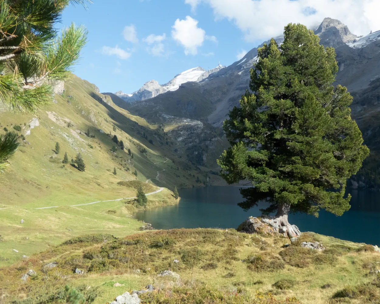
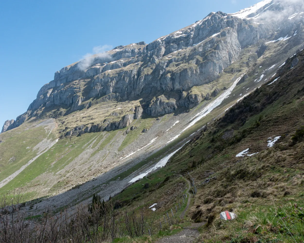
A challenging mountain stage over the 2207-metre-high Jochpass, the boundary between Inner Switzerland and the Bernese Oberland. The hike is enhanced by magnificent landscapes with mountain meadows, lakes and impressive peaks, above all the snow-capped Titlis.
13 km1300 m440 m5h 10mLandscape: With panoramic views,Over a pass
Tour published by:
SwitzerlandMobility
Learn more on
schweizmobil.ch
| Engelberg, Bahnhof (08:36) | |
| 300 (2m) | |
| Engelberg, Titlisbahn (08:38) |
The Via Alpina crosses 14 of the most beautiful Alpine passes. Straight through seven Swiss cantons with a vast variety of culture, geology and topography. Wide roads end in high ridge trails. The route is lined with one of the world’s most diverse variety of flora and fauna.
390 km23500 m24800 mLandscape: With panoramic views,Over a pass,Onto a mountain peak
Tour published by:
SwitzerlandMobility
Learn more on
schweizmobil.ch
| Engelberg, Bahnhof (08:59) | |
| 300 (9m) | |
| Engelberg, Golfplatz (09:08) |
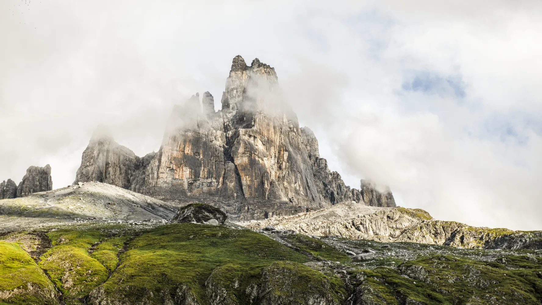
When the work is done, it’s time for fun: After a steep section, the trail leads over a scenic ridge to the historic Surenenpass. The rock bastions on Brunnistock and the valley basin are imposing. A varied valley trail leads to the monastery town of Engelberg.
30 km2100 m1500 m10h 45mLandscape: Along the water,Over a pass
Tour published by:
SwitzerlandMobility
Learn more on
schweizmobil.ch


