
Discover a variety of hiking trails accessible by public transport from Vitznau. From lakeside paths along the Vierwaldstättersee to alpine routes on the Rigi, these hikes offer diverse landscapes and stunning vistas. Whether you're looking for a gentle stroll or a challenging trek, there's something for every hiker starting from this charming lakeside village.
The following hikes are sorted by travel time from Vitznau, making it easy to plan your next adventure. Check out the map to explore thousands of destinations and activities, reachable from any starting point in Switzerland.
Much more on ovunta.com/en/map
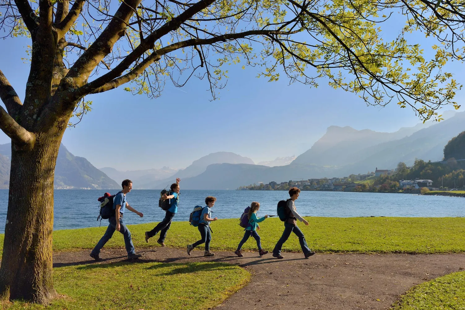
The Waldstätterweg leads around the touristic highlight of the Vierwaldstättersee (Lake Lucerne). Explore the natural and cultural landscape with its historic sites, villages, lake shores and city on foot. Discover the heart of Central Switzerland anew.
 115 km
 4800 m
 4800 m
Landscape: Along the water,With panoramic views
Tour published by:
SwitzerlandMobility
Learn more on
schweizmobil.ch
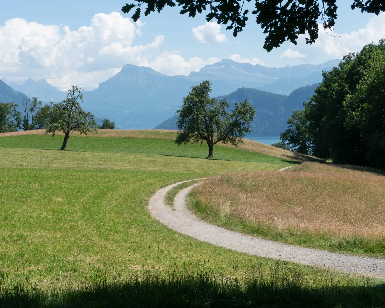
Via ladders on the Riviera - past orchards to Oberwilen and via the narrow molasse folds with ladders that at one time afforded the only overland link to Weggis. Through the Chestenenweid nature reserve via Weggis, Hertenstein and the Haldihof fruit farm to Küssnacht.
19 km800 m780 m 5h 45m
Landscape: Along the water
Tour published by:
SwitzerlandMobility
Learn more on
schweizmobil.ch
| Vitznau (09:15) | |
| 82 (3m) | |
| Mittlerschwanden (09:18) |
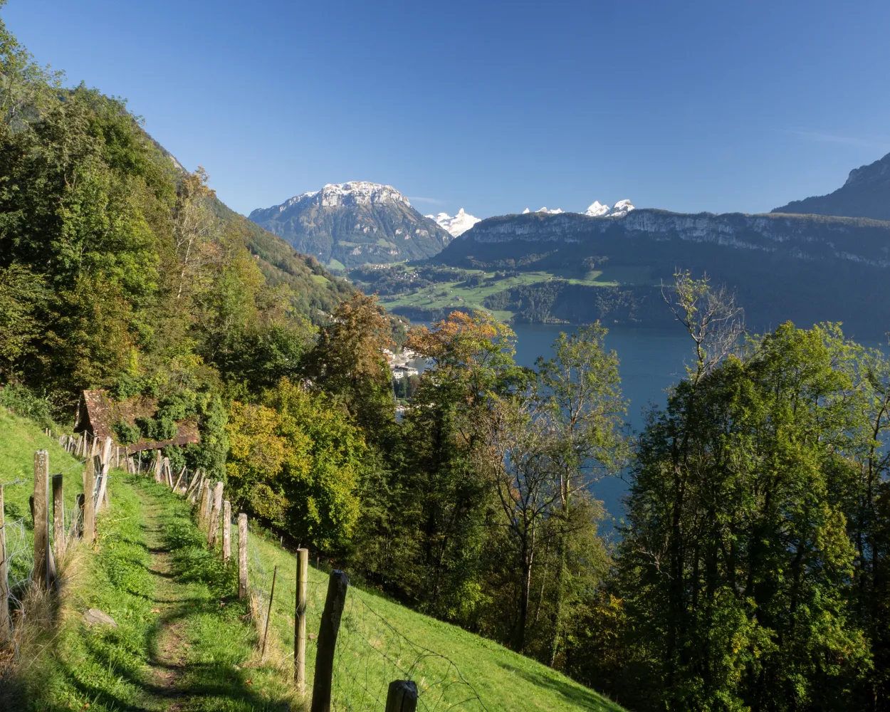
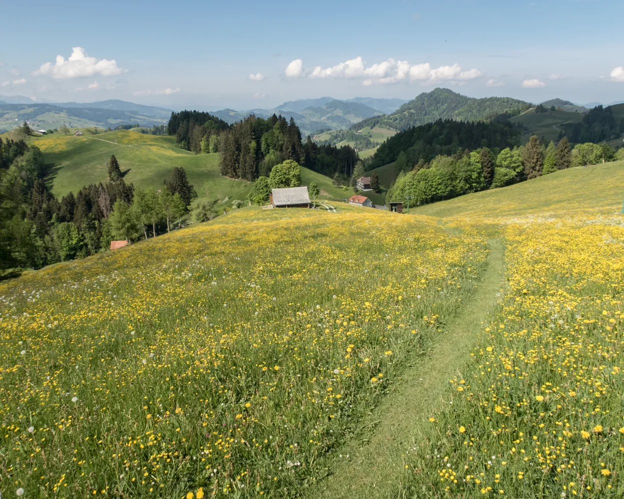
A touch of southern ambiance - from Brunnen on the Waldstätterquai and the Auslandschweizerplatz on the Seestrasse to Brünischart and the start of the mountain trail through almost Mediterranean-like forest vegetation with wonderful panoramic views. Vitznau is reached via Gersau.
15 km740 m740 m5h 0mLandscape: Along the water
Tour published by:
SwitzerlandMobility
Learn more on
schweizmobil.ch
| Vitznau, Station (08:35) | |
| 508 (1m) | |
| Vitznau, Floralpina (08:36) |
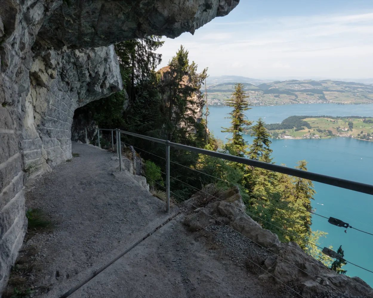
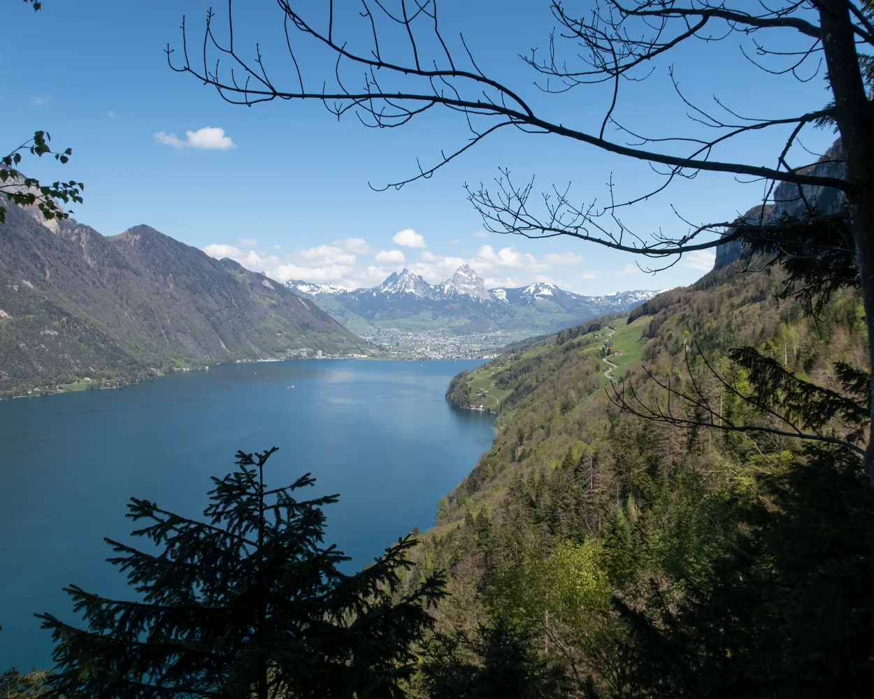
A lakeside promenade along the Vierwaldstättersee from Beckenried into the impressive Risleten Gorge, with its ancient dinosaur traces. After a steep climb, the romantic high-level trail towards Seelisberg. Far below, the shimmering turquoise lake.
21 km820 m480 m6h 0mLandscape: Along the water
Tour published by:
SwitzerlandMobility
Learn more on
schweizmobil.ch
Via the north wall to the other shore and the Bürgenstock cliff path, which as an Alpine promenade, afforded well-heeled ladies and gentlemen a view back to the city of Lucerne. Past the pilgrimage site of St Jost along the shore at Ennetburgen, Buochs and Beckenried.
13 km300 m740 m3h 45mLandscape: With panoramic views,Along the water
Tour published by:
SwitzerlandMobility
Learn more on
schweizmobil.ch
This stage includes a boat trip from Brunnen to Treib, where the cantons of Uri, Schwyz and Nidwalden meet. The chapels along the way and the Winkelried monument in Stans are worth seeing.
29 km880 m950 m8h 0mLandscape: Along the water
Tour published by:
SwitzerlandMobility
Learn more on
schweizmobil.ch
The ViaJacobi leads from the Bodensee to Genève as part of the European Jakobsweg (Route of St. James). Lined by churches, monasteries and chapels, it offers a fabulous hiking experience along historic paths through a diverse cultural landscape.
450 km11900 m11800 mLandscape: With panoramic views
Tour published by:
SwitzerlandMobility
Learn more on
schweizmobil.ch
| Vitznau (09:10) | |
| 3600 (16m) | |
| Beckenried (See) (09:26) |
The long-distance Trans Swiss Trail from Porrentruy to Mendrisio is one of the last great adventures in highly-developed Switzerland. A variety of landscapes, cultures and places of interest await along the 32 stages of the 488-km trail.
510 km17800 m17900 mLandscape: Over a pass,With panoramic views
Tour published by:
SwitzerlandMobility
Learn more on
schweizmobil.ch
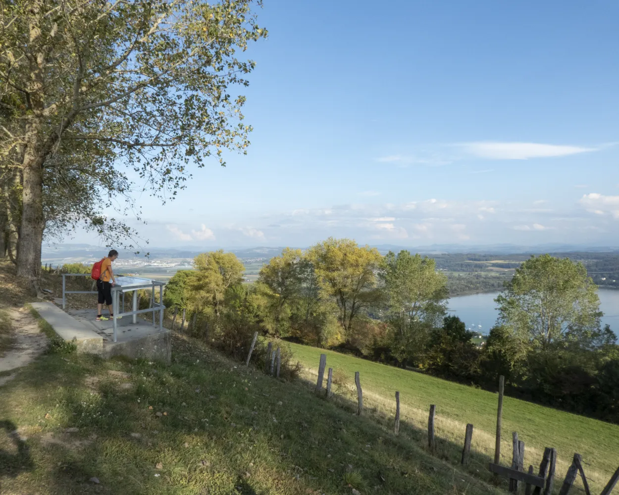
This unobstructed high-altitude trail with views of Lake Lucerne, Lake Zug and Lake Lauerz as well as the Alpine chain is a special experience. This not only applies to the views; the Rigi Panorama Trail also has plenty to offer from a historical perspective.
7 km220 m20 m1h 50m
Barrier free: Yes
Landscape: With panoramic views
Tour published by:
SwitzerlandMobility
Learn more on
schweizmobil.ch
| Vitznau (09:15) | |
| 82 (18m) | |
| Rigi Kaltbad-First (09:33) |
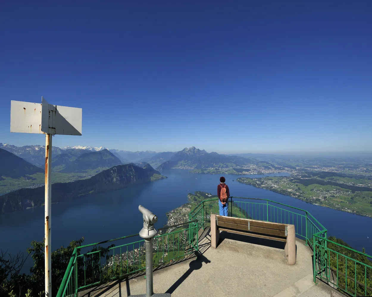
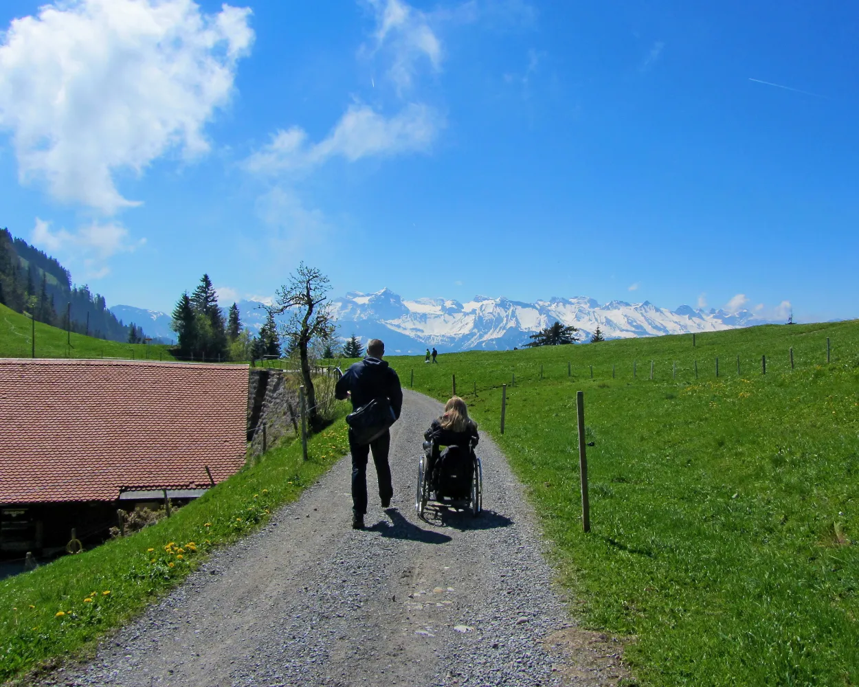
The Chänzeli is one of the most popular viewing points on the Rigi. Once at the top, the view across Lake Lucerne and the city of Lucerne as far as the Swiss plateau is impressive. The snow-covered Alpine chain rises in the south. Even the journey is an experience.
2 km40 m40 m30mBarrier free: Yes
Landscape: With panoramic views
Tour published by:
SwitzerlandMobility
Learn more on
schweizmobil.ch


