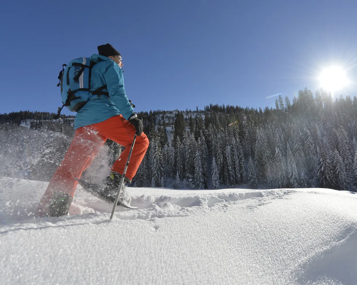
Discover a winter wonderland on these snowshoe hikes, all easily reachable from Vitznau by public transport. Snow-covered forests, wide alpine plateaus, and scenic routes offer memorable experiences in the heart of the Alps.
To make planning easier, the hikes below are sorted by travel time from Vitznau. Explore the map to find all snowshoe hikes and thousands of other outdoor activities accessible from anywhere in Switzerland.
Much more on ovunta.com/en/map
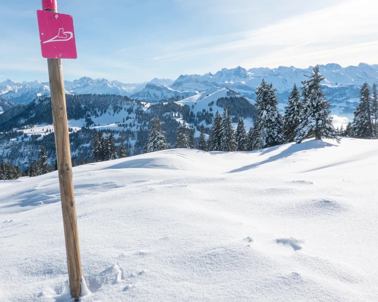
The circular hike on top of the Rigi offers fascinating views of Lake Lucerne, the Alps of Uri, the cities of Lucerne and Zug, and the lakes of Central Switzerland. From the mountain station, the snowshoe trail leads to Alp Chäserenholz, with views of the Grosse and Kleine Mythen, the landmarks of the Canton of Schwyz.
 2 km
2 km 150 m
150 m 150 m
150 m 1h 5m
1h 5mTour published by:
SwitzerlandMobility
Learn more on
schweizmobil.ch
| Vitznau (09:15) | |
| 82 (32m) | |
| Rigi Kulm (09:47) |
From the start at the Klewenalp mountain station high above Lake Lucerne, the trail first leads downhill to Wangiboden. Further on, the Brämegg viewpoint boasts spectacular views of the lake and the mountains of Central Switzerland. Head back to the mountain station via Röthen.
3 km190 m190 m1h 40m
Landscape: Onto an alp,With panoramic views,Onto a mountain peak
Tour published by:
SwitzerlandMobility
Learn more on
schweizmobil.ch
| Vitznau (09:10) | |
| 3600 (16m) | |
| Beckenried (See) (09:26) |
| Beckenried (Klewenalpbahn) (10:00) | |
| 2556 (10m) | |
| Klewenalp (10:10) |
This trail takes hikers from a bustling winter sports resort to total seclusion in no time at all. At the highest point on the tour lies a hidden gem: the cosy Waldhüttli mountain pub.
7 km360 m360 m3h 25mLandscape: Onto an alp,With panoramic views
Tour published by:
SwitzerlandMobility
Learn more on
schweizmobil.ch
| Vitznau, Station (08:35) | |
| 508 (29m) | |
| Brunnen, Kleinstadtstrasse (09:04) |
| Brunnen, See/Schiffstation (09:16) | |
| 504 (14m) | |
| Morschach, Luftseilbahn (09:30) |
| Morschach Talstat. (Luftseilb) (09:40) | |
| 2580 (8m) | |
| Stoos Bergstat. (Luftseilb) (09:48) |
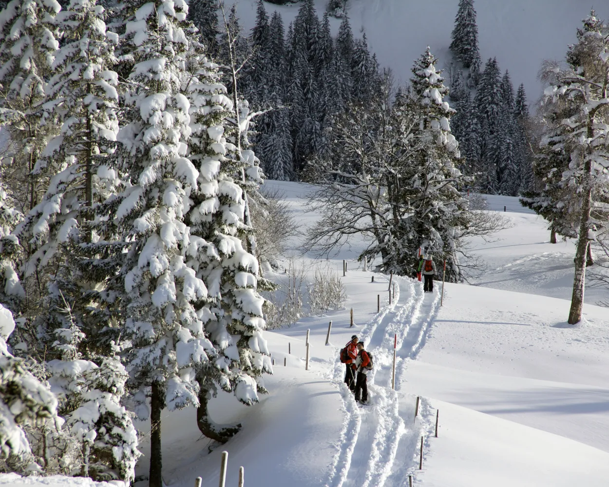
This circular route is especially popular with beginners and snowshoe hiking enthusiasts. Discover the sunny side of Muotathal in the southern part of the village and, if you like, make a detour to a spiritual site.
4 km220 m220 m1h 55mTour published by:
SwitzerlandMobility
Learn more on
schweizmobil.ch
| Vitznau, Station (08:35) | |
| 508 (56m) | |
| Schwyz, Bahnhof (09:31) |
| Schwyz, Bahnhof (09:38) | |
| 501 (25m) | |
| Muotathal, Post (10:03) |
Bridges and views are the stars of this snowshoe trail. Along the way, hikers can take off their snowshoes and enjoy a special experience: the foot suspension bridge in Sattel-Hochstuckli.
10 km640 m640 m5h 20mLandscape: With panoramic views,Over a suspension bridge
Tour published by:
SwitzerlandMobility
Learn more on
schweizmobil.ch
| Vitznau, Station (08:35) | |
| 508 (34m) | |
| Brunnen, Bahnhof (09:09) |
| Brunnen (09:20) | |
| S2 (11m) | |
| Arth-Goldau (09:31) |
| Arth-Goldau (09:54) | |
| S31 (14m) | |
| Biberegg (10:08) |

From Eggbergen, an alpine terrace below Rophaien and Schön Chulm, snowshoers can trek through delightful scenery towards Hüenderegg.The reward awaiting them there is a tremendous view of the Urner mountain scenery.
5 km480 m200 m3h 0mLandscape: Onto a mountain peak,With panoramic views
Tour published by:
SwitzerlandMobility
Learn more on
schweizmobil.ch
| Vitznau, Station (08:35) | |
| 508 (56m) | |
| Schwyz, Bahnhof (09:31) |
| Schwyz (09:36) | |
| S2 (12m) | |
| Flüelen (09:48) |
| Flüelen, Hauptplatz (09:51) | |
| 413 (1m) | |
| Altdorf UR, Eggberge/Moosbad (09:52) |
| Flüelen (Talstation Eggberge) (10:00) | |
| PB (9m) | |
| Eggberge (10:09) |
The Haldi trail on the sunny alpine terrace above Schattdorf rewards snowshoers with fantastic views of the Urner valley floor. And that’s not all: it is said to have a healing effect.
7 km420 m420 m3h 40mLandscape: With panoramic views,Onto an alp
Tour published by:
SwitzerlandMobility
Learn more on
schweizmobil.ch
| Vitznau, Station (08:35) | |
| 508 (56m) | |
| Schwyz, Bahnhof (09:31) |
| Schwyz (09:36) | |
| S2 (15m) | |
| Altdorf UR (09:51) |
| Altdorf UR, Bahnhof Ost (09:54) | |
| 412 (11m) | |
| Schattdorf, Dorf (10:05) |
| Schattdorf (Talstation Haldi) (10:10) | |
| PB (5m) | |
| Haldi (10:15) |
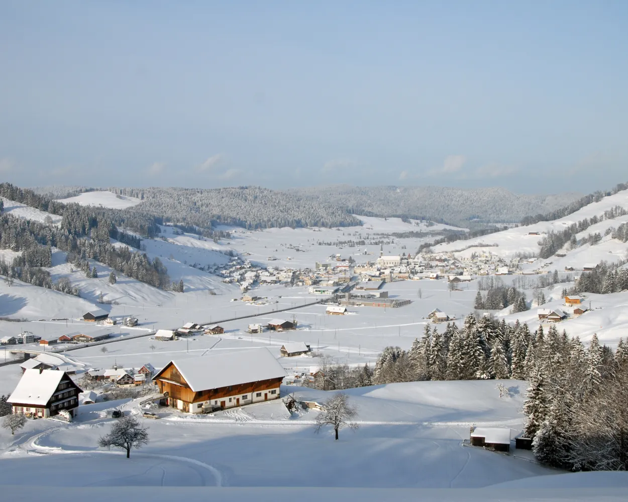
On the sun terrace above Illgau, not far from the cantonal capital of Schwyz, lies a charming landscape of gently rolling hills. The special tranquillity of this area makes it very popular with snowshoe hikers and nature lovers.
9 km560 m560 m4h 40mTour published by:
SwitzerlandMobility
Learn more on
schweizmobil.ch
| Vitznau, Station (08:35) | |
| 508 (56m) | |
| Schwyz, Bahnhof (09:31) |
| Schwyz, Bahnhof (09:38) | |
| 501 (22m) | |
| Ried (Muotathal), Seilb.Illgau (10:00) |
| Ried (Muotathal) (Seilbahn) (10:05) | |
| PB (3m) | |
| Illgau (Luftseilbahn) (10:08) |
| Illgau Dorf (10:16) | |
| PB (7m) | |
| Oberberg St. Karl (10:23) |
The trail from the idyllic Lake Arni to Vorderarni affords views of the Reuss Valley and across the mountains. This trail takes you over easy terrain with gentle ups and downs.
7 km380 m380 m3h 20mTour published by:
SwitzerlandMobility
Learn more on
schweizmobil.ch
| Vitznau, Station (08:35) | |
| 508 (56m) | |
| Schwyz, Bahnhof (09:31) |
| Schwyz (09:36) | |
| S2 (21m) | |
| Erstfeld (09:57) |
| Erstfeld, Bahnhof (10:01) | |
| 401 (7m) | |
| Amsteg, Grund/Seilbahn (10:08) |
| Amsteg (Talstation Arnisee) (10:25) | |
| PB (6m) | |
| Arni UR (10:31) |
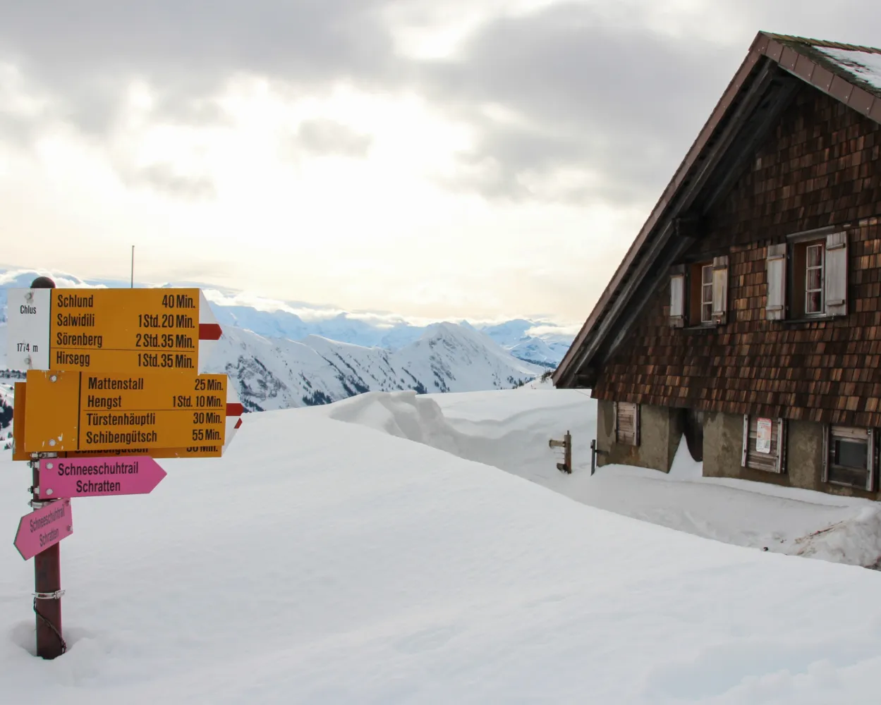
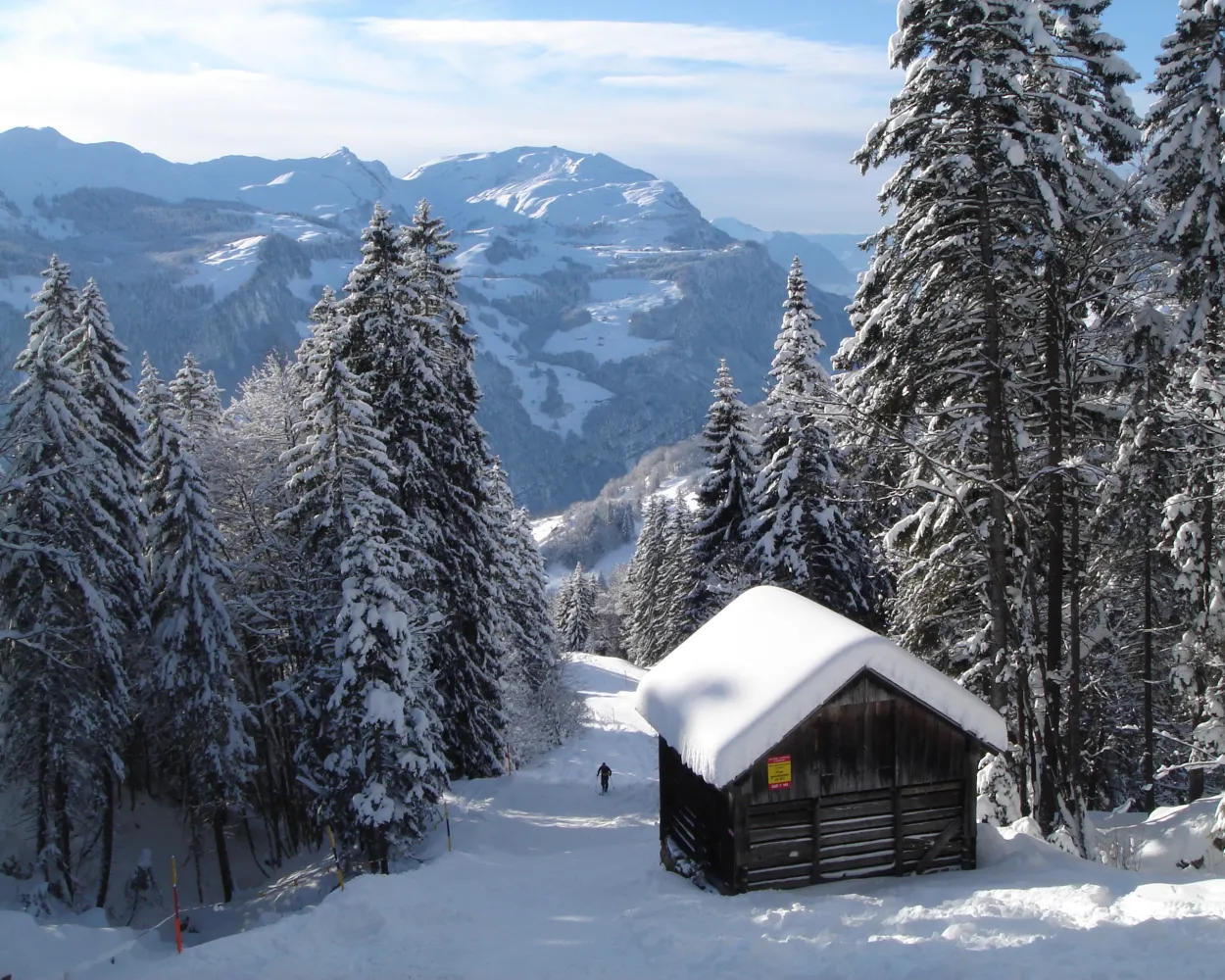
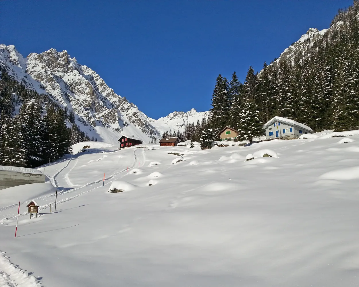
This somewhat more challenging tour leads through the stunning landscape beneath the Schrattenfluh and its striking karst formations. The hike ends at the Chlushütte (mountain hut), located at the foot of the Böli, where incredible panoramic views across the Brienzer Rothorn range and the Bernese Alps await you.
11 km760 m760 m6h 0mTour published by:
SwitzerlandMobility
Learn more on
schweizmobil.ch
| Vitznau (09:49) | |
| 3600 (58m) | |
| Luzern Bahnhofquai (10:47) |
| Luzern (10:57) | |
| RE7 (31m) | |
| Schüpfheim (11:28) |
| Schüpfheim, Bahnhof (11:33) | |
| 241 (19m) | |
| Sörenberg, Hirsegg (11:52) |


