Discover a variety of hiking trails easily accessible from Brienz by public transport. From lakeside paths along the turquoise waters of Lake Brienz to alpine routes with breathtaking mountain views, these hikes offer something for every nature enthusiast. Explore charming waterfalls, historic sites, and lush forests as you venture through the picturesque Bernese Oberland.
The following hikes are sorted by travel time from Brienz, allowing you to plan your adventure based on your schedule and preferences. Check out the map to explore thousands of destinations and activities, reachable from any starting point in Switzerland.
Much more on ovunta.com/en/map
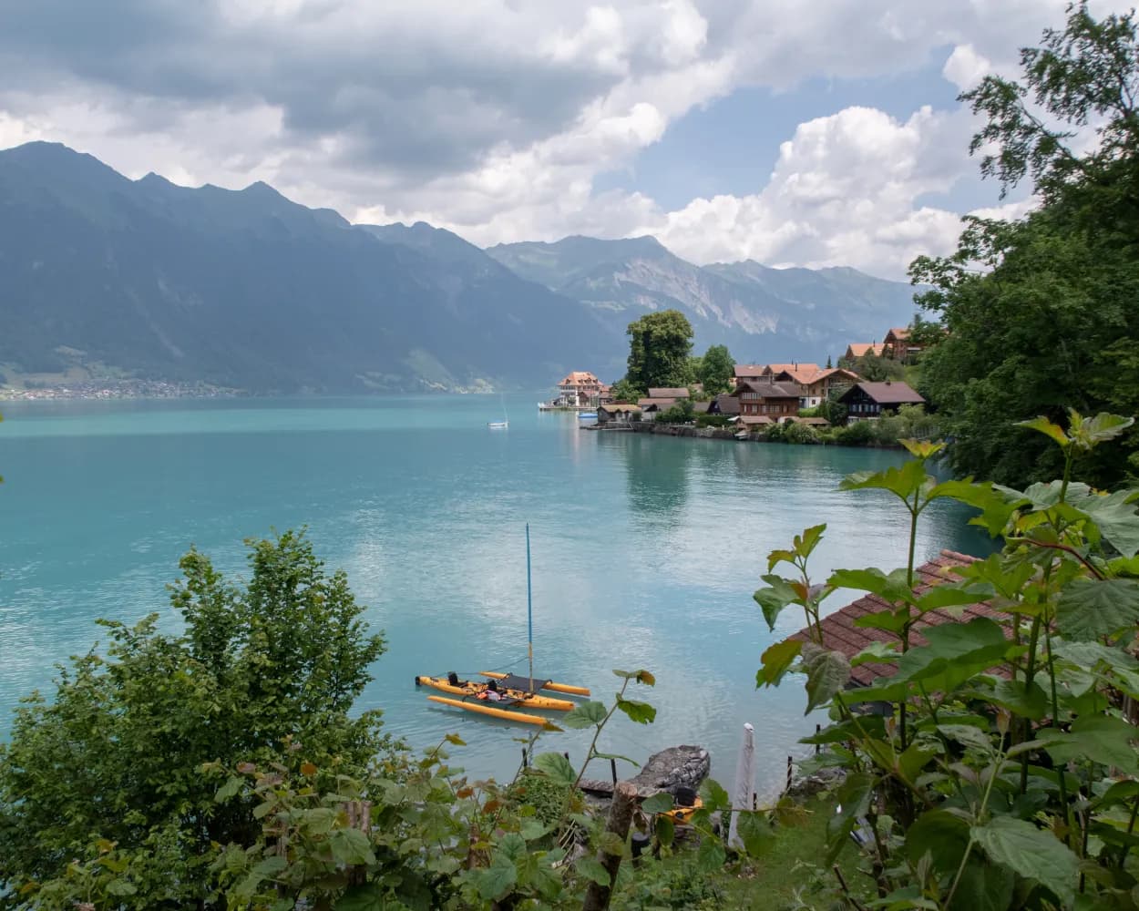
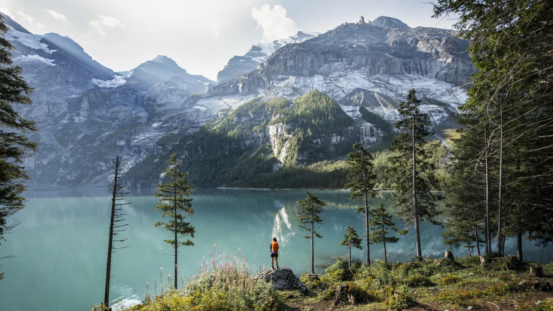
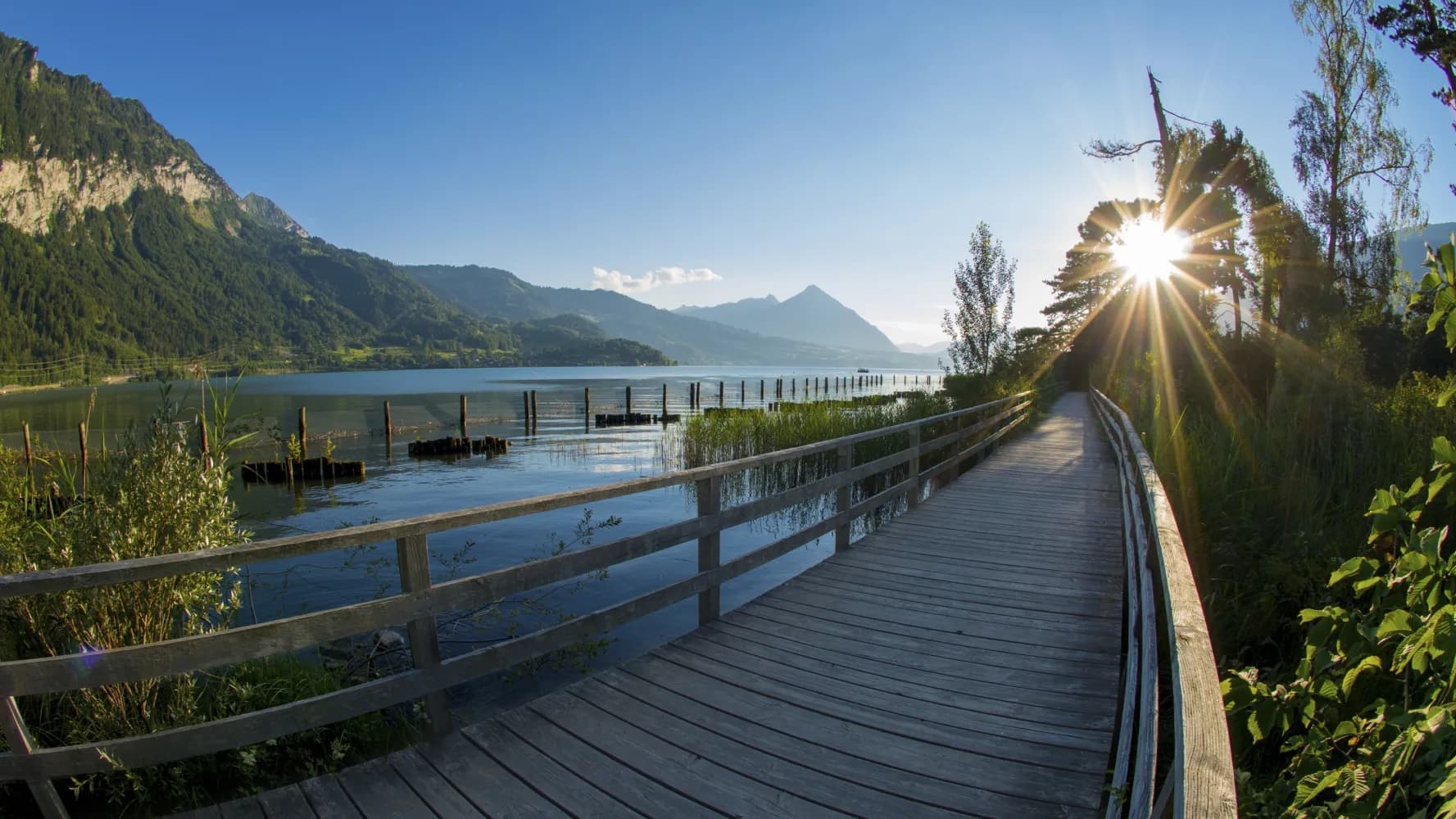
Brünig boasts views of an impressive mountain panorama, featuring the high peaks of the Bernese Oberland and snow all year round. The route crosses sunny valley slopes above the shimmering turquoise waters of Lake Brienz, surrounding you with extraordinarily beautiful scenery.
 30 km
30 km 860 m
860 m 1300 m
 8h 15m
Landscape: Along the water,Over a pass,With panoramic views
Tour published by:
SwitzerlandMobility
Learn more on
schweizmobil.ch
The ViaJacobi leads from the Bodensee to Genève as part of the European Jakobsweg (Route of St. James). Lined by churches, monasteries and chapels, it offers a fabulous hiking experience along historic paths through a diverse cultural landscape.
450 km11900 m11800 mLandscape: With panoramic views
Tour published by:
SwitzerlandMobility
Learn more on
schweizmobil.ch
| Brienz (09:02) | |
| R70 (2m) | |
| Brienz West (09:04) |
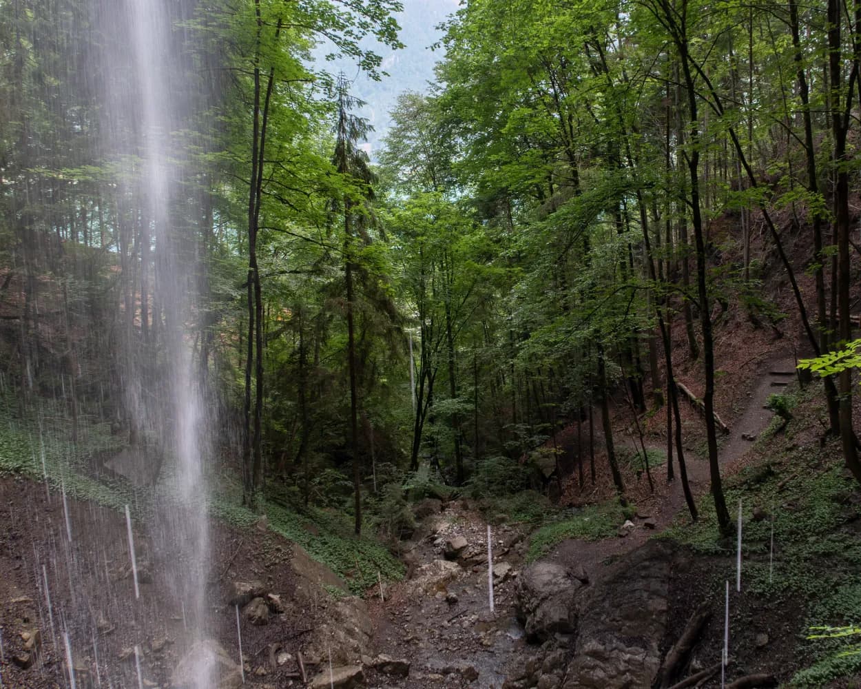
Following the course of the Mülibach stream you reach the waterfall of the same name above Iseltwald. The well-maintained hiking trail leads through partially open terrain to the Giessbach Falls. The last section leads along the lakeshore to Brienz.
12 km440 m440 m3h 25mTour published by:
SwitzerlandMobility
Learn more on
schweizmobil.ch
The trail has something to suit all tastes: lakeside sections and meadows, woodlands and craggy cliffs. The highlights of the hike include the three waterfalls, the incredible colour of Lake Brienz and a historic hotel (Grand Hotel Giessbach) resembling a fairy-tale castle.
19 km760 m760 mLandscape: Along the water
Tour published by:
SwitzerlandMobility
Learn more on
schweizmobil.ch
| Brienz BE, Bahnhof (08:36) | |
| 151 (1m) | |
| Brienz BE, Glyssibach (08:37) |
The Via Alpina crosses 14 of the most beautiful Alpine passes. Straight through seven Swiss cantons with a vast variety of culture, geology and topography. Wide roads end in high ridge trails. The route is lined with one of the world’s most diverse variety of flora and fauna.
390 km23500 m24800 mLandscape: With panoramic views,Over a pass,Onto a mountain peak
Tour published by:
SwitzerlandMobility
Learn more on
schweizmobil.ch
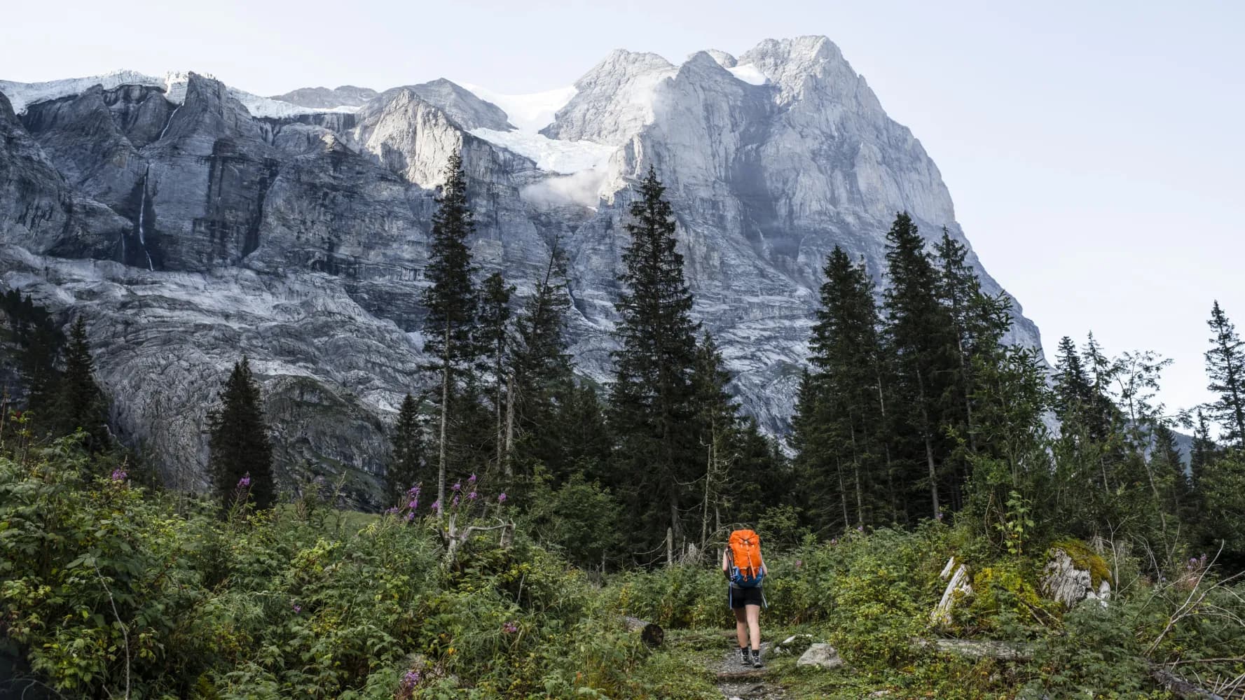
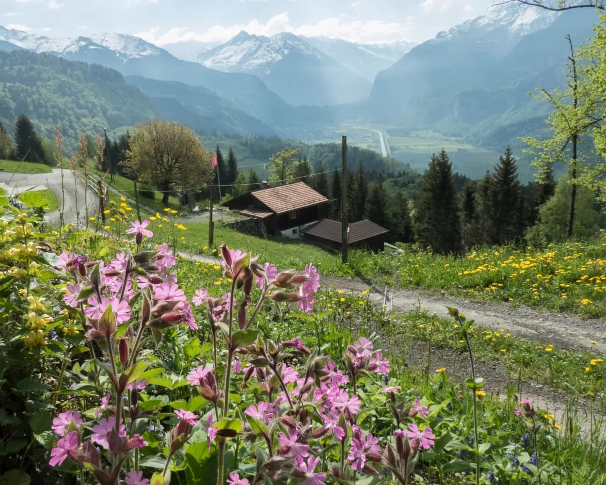
After the rock barrier with the Reichenbach Falls, the trail follows the valley floor. We hike past the nostalgic Rosenlaui Hotel and glacier gorge, enchanted by the Wetterhorn. The route then crosses beautiful moorlands over the Grosse Scheidegg to Grindelwald in the heart of the Jungfrau region.
23 km1550 m1100 m8h 0mLandscape: With panoramic views
Tour published by:
SwitzerlandMobility
Learn more on
schweizmobil.ch
| Brienz (08:53) | |
| R70 (13m) | |
| Meiringen (09:06) |
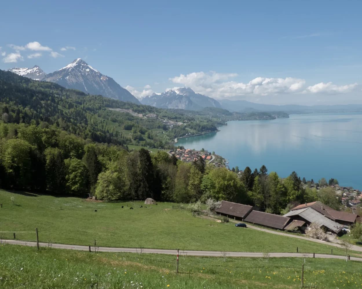
Starting in Interlaken, the hike hugs Lake Thun before continuing on via Därligen to the Meielisalp up above Leissigen. Enchanting panoramic views are provided by the suspension bridge over the Spissibach stream. Finally, the route continues past Faulensee via Krattigen. The end point for this stage is Spiez with its vineyards and castle – the latter, towering over the town, serves as its characteristic symbol.
20 km740 m740 m5h 50mLandscape: With panoramic views,Along the water,Onto an alp,Over a suspension bridge,Past castles
Tour published by:
SwitzerlandMobility
Learn more on
schweizmobil.ch
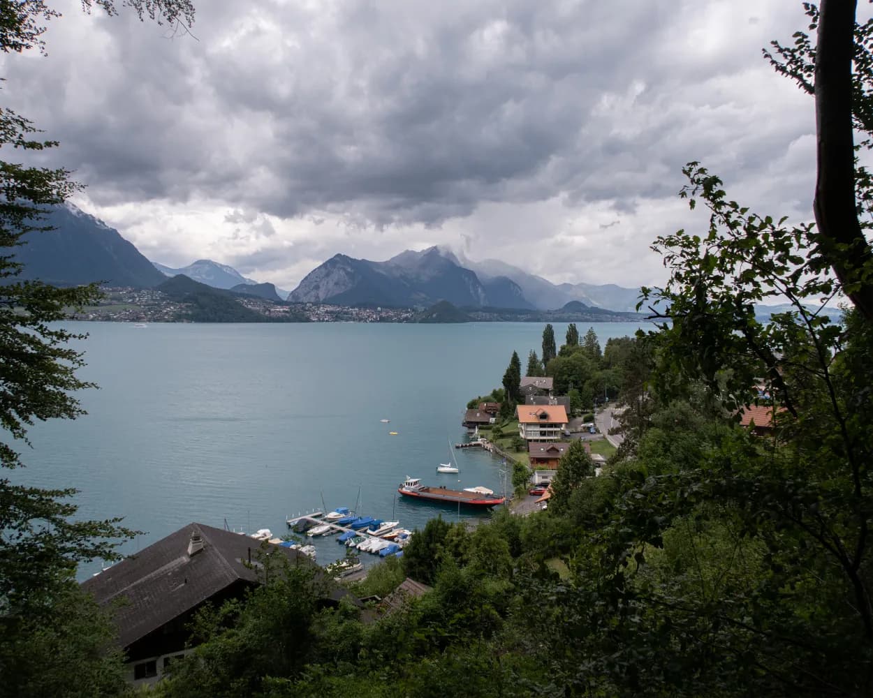
From Sigriswil, the trail leads to Merligen on Lake Thun, where you meet the Way of St. James. At the foot of the Niederhorn mountain, the route passes the St. Beatus caves with their stunning waterfall. As well as the lakeside path through the nature reserve, the towns of Unterseen and Interlaken also tempt you to make a quick detour.
17 km460 m700 m4h 45mLandscape: Along the water
Tour published by:
SwitzerlandMobility
Learn more on
schweizmobil.ch
Starting in Interlaken, this varied path leads along the banks of the River Aare and the shore of Lake Thun through Unterseen. In addition to the waters, the ancient fortress ruins and nature reserve at Weissenau are also truly eye-catching.
5 km30 m30 m1h 10m
Barrier free: Yes
Landscape: Along the water
Tour published by:
SwitzerlandMobility
Learn more on
schweizmobil.ch

This leg leads along the banks of the Aare to the Weissenau nature conservation area by Lake Thun. From Neuhaus, the route takes you through woodland with lots of unobstructed views of Lake Thun and a panorama of the Bernese Alps. The St. Beatus caves with their stalactites and stalagmites, grottos, gorges and streams are particularly impressive.
13 km420 m440 m3h 45mLandscape: Along the water
Tour published by:
SwitzerlandMobility
Learn more on
schweizmobil.ch
| Brienz (08:37) | |
| LIX (17m) | |
| Interlaken Ost (08:54) |
| Interlaken Ost (08:59) | |
| IC61 (4m) | |
| Interlaken West (09:03) |