Logo
Blog
To the map
Blog header image

Winter Hikes from Brienz by public transport

Relaxed or more challenging: these winter hikes are all reachable from Brienz by public transport. From easy panoramic walks to longer alpine routes, there’s something for every level of winter hiker.

The destinations below are sorted by travel time from Brienz to make planning easier. Be sure to check the map to explore all winter hikes and thousands of other outdoor activities reachable from any starting point in Switzerland.

Much more on ovunta.com/en/map

Discover other activities close to Brienz

  • Snowshoeing from Brienz by public transport
  • Scenic Trails Around Lake Brienz
  • Ride the Rails, Hit the Slopes: Transit-Reachable Ski Areas Near Brienz
  • Sledging runs from Brienz by public transport
  • Cross-country skiing resorts from Brienz by public transport

Start from elsewhere?

  • Winter Hikes from Vitznau by public transport
  • Winter Hikes from Fiesch by public transport
  • Winter Hikes from Andermatt by public transport
1/10

Käserstatt-Mägisalp-Weg

Minimum travel time: 1h 6m to Mägisalp
Käserstatt-Mägisalp-Weg

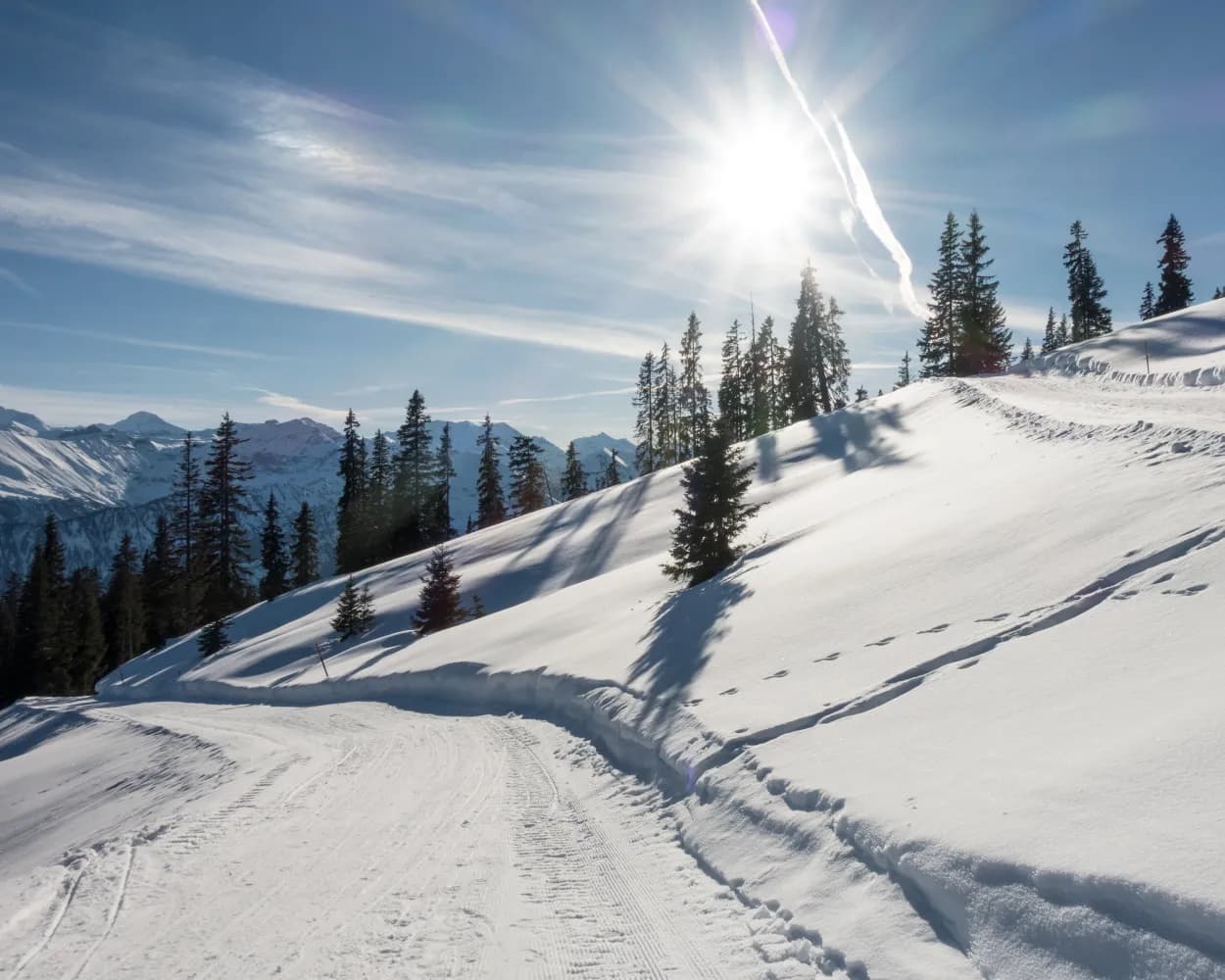
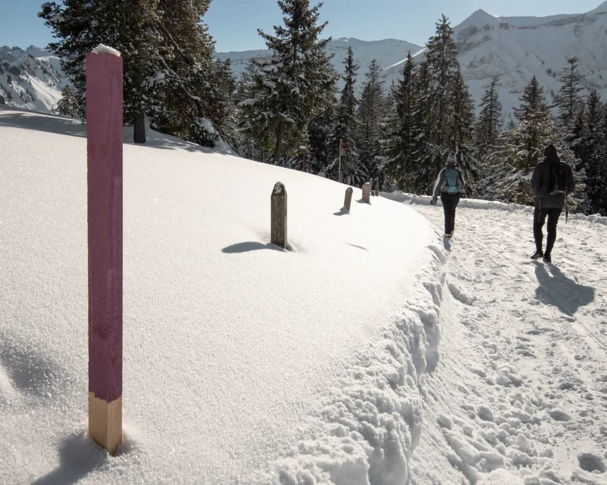
The path goes from Käserstatt to Mägisalp via alpine meadows and enchanting forest passages. Here, winter hikers can always catch a glimpse of the Wetterhorn mountains opposite.

dist3 km
|
asce70 m
|
desc190 m
|
dura55m

    Tour published by:

    SwitzerlandMobility

    Learn more on
    schweizmobil.ch

    Käserstatt-Mägisalp-Weg

    How to get to Käserstatt-Mägisalp-Weg

    Fastest connection from Brienz to Mägisalp: 1h 6m
    Brienz (08:53)
    R70 (13m)
    Meiringen (09:06)
    Walk from Meiringen to Meiringen (Luftseilbahn)
    Meiringen (Luftseilbahn) (09:38)
    2480 (7m)
    Hasliberg Reuti (Gondelbahn) (09:45)
    Hasliberg Reuti (Gondelbahn) (09:47)
    2481 (12m)
    Mägisalp (09:59)
    Search Connections & Buy Tickets on SBB
    2/10

    Rundweg Aeschi–Aeschiried

    Minimum travel time: 1h 10m to Aeschi b. Spiez, Post
    Rundweg Aeschi–Aeschiried

    This winter hiking trail takes you to the most scenic lookout points around Aeschi. Several benches invite you to linger and admire the views. The ever-changing views of the Frutigtal valley, Mount Niesen, Lake Thun and the peaks above the fog line are without equal.

    dist6 km
    |
    asce200 m
    |
    desc200 m
    |
    dura2h 10m
    • land

      Landscape: Through a Swiss Park,With panoramic views

    Tour published by:

    SwitzerlandMobility

    Learn more on
    schweizmobil.ch

    Rundweg Aeschi–Aeschiried

    How to get to Rundweg Aeschi–Aeschiried

    Fastest connection from Brienz to Aeschi b. Spiez, Post: 1h 10m
    Brienz (08:37)
    LIX (17m)
    Interlaken Ost (08:54)
    Interlaken Ost (08:59)
    IC61 (24m)
    Spiez (09:23)
    Walk from Spiez to Spiez, Bahnhof
    Spiez, Bahnhof (09:38)
    62 (9m)
    Aeschi b. Spiez, Post (09:47)
    Search Connections & Buy Tickets on SBB
    3/10

    Panoramaweg Niederhorn–Waldegg

    Minimum travel time: 1h 16m to Beatenberg, Waldegg
    Panoramaweg Niederhorn–Waldegg

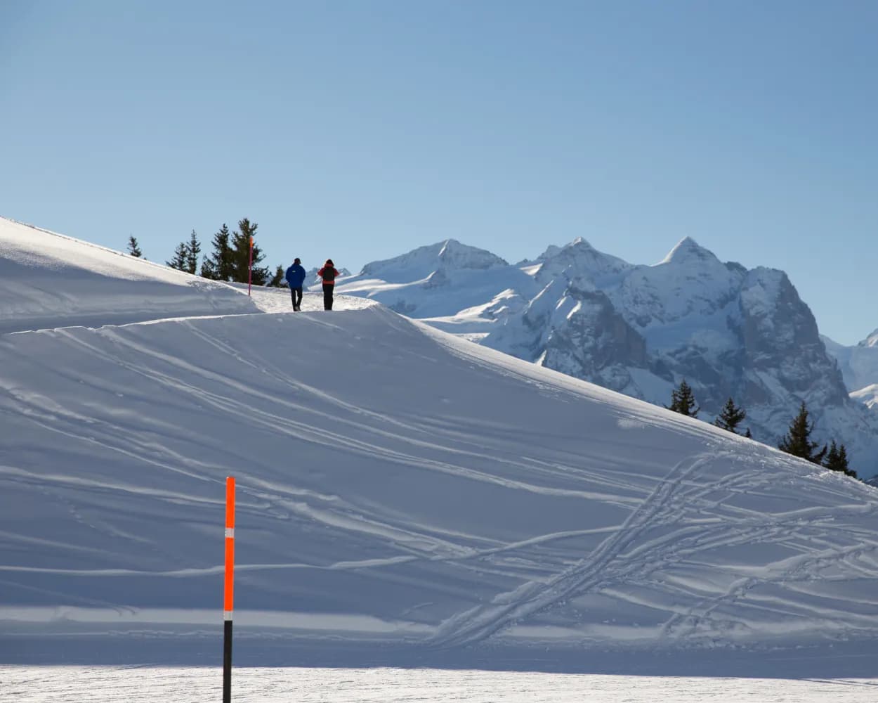
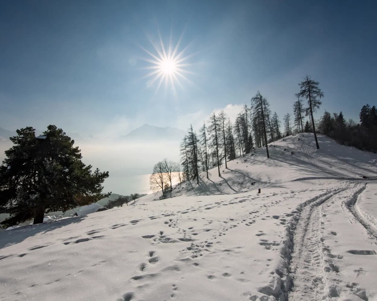
    Above Lake Thun, a continuous downhill trail from Mount Niederhorn to the hamlet of Waldegg. The combination of snow-covered mountains and views of Lake Thun is unparalleled. Enchanting vistas await you at 1950 metres above sea level.

    dist10 km
    |
    asce140 m
    |
    desc880 m
    |
    dura3h 30m

      Tour published by:

      SwitzerlandMobility

      Learn more on
      schweizmobil.ch

      Panoramaweg Niederhorn–Waldegg

      How to get to Panoramaweg Niederhorn–Waldegg

      Fastest connection from Brienz to Beatenberg, Waldegg: 1h 16m
      Brienz (08:37)
      LIX (17m)
      Interlaken Ost (08:54)
      Interlaken Ost (08:59)
      IC61 (4m)
      Interlaken West (09:03)
      Walk from Interlaken West to Interlaken West, Bahnhof
      Interlaken West, Bahnhof (09:35)
      101 (18m)
      Beatenberg, Waldegg (09:53)
      Search Connections & Buy Tickets on SBB
      4/10

      Breitenfeld-Panoramaweg

      Minimum travel time: 1h 21m to Turren
      Breitenfeld-Panoramaweg

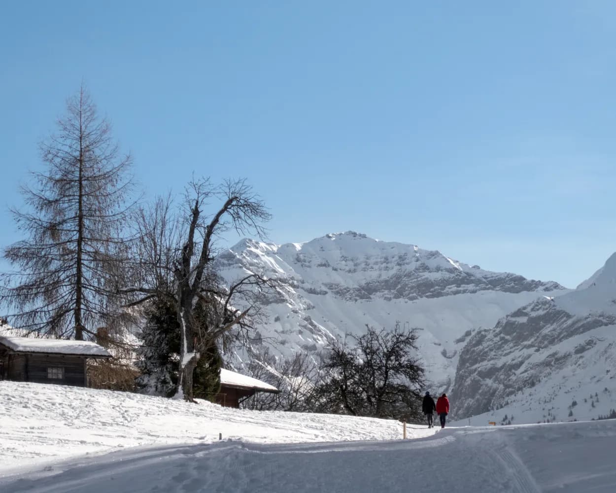
      A one-of-a-kind winter hiking experience with views down into the Lungern valley basin and across to the Bernese Alps. Far away from any hustle and bustle, this Alpine route slowly ascends up around Finsterbüel to the beautifully located, sleepy village of Breitenfeld.

      dist5 km
      |
      asce260 m
      |
      desc260 m
      |
      dura1h 50m

        Tour published by:

        SwitzerlandMobility

        Learn more on
        schweizmobil.ch

        Breitenfeld-Panoramaweg

        How to get to Breitenfeld-Panoramaweg

        Fastest connection from Brienz to Turren: 1h 21m
        Brienz (09:25)
        LIX (38m)
        Lungern (10:03)
        Walk from Lungern to Lungern (Turren-Bahn)
        Lungern (Turren-Bahn) (10:40)
        PB (6m)
        Turren (10:46)
        Search Connections & Buy Tickets on SBB
        5/10

        Rundwanderweg Glaubenbielenpass

        Minimum travel time: 1h 30m to Sörenberg-Schönenboden
        Rundwanderweg Glaubenbielenpass

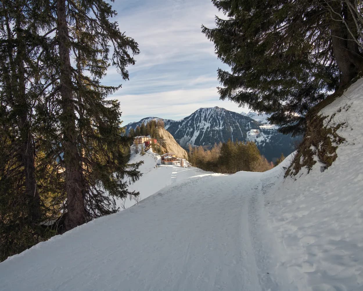
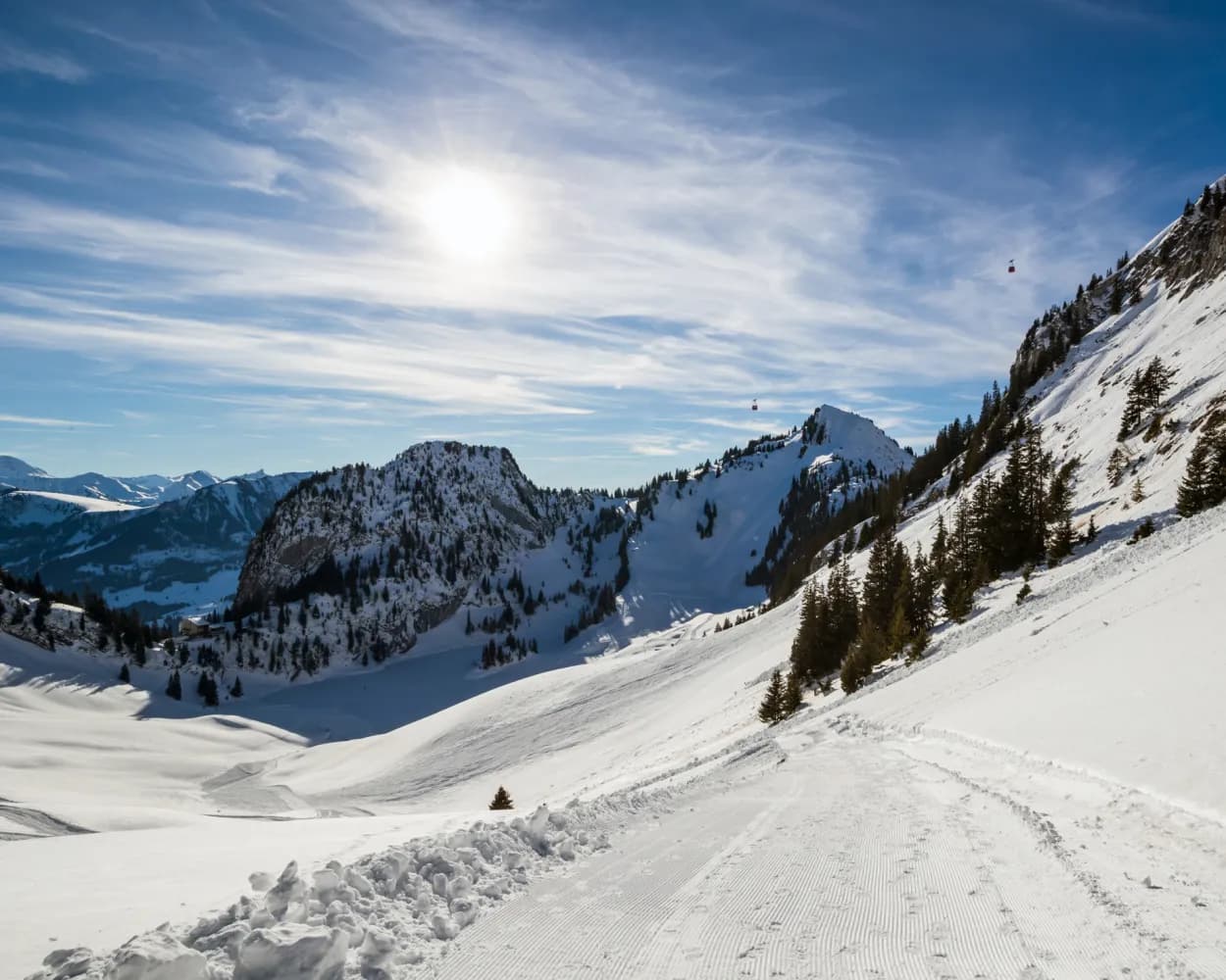
        In winter, when the panorama road on the Glaubenbielen Pass is closed, you can experience pure nature here. The view of the Rothorn chain and the traces of wild animals in the snow make you forget about everyday life. The landslide area, which is clearly visible on this route, is also very exciting.

        dist10 km
        |
        asce400 m
        |
        desc400 m
        |
        dura3h 25m
        • land

          Landscape: Through a Swiss Park,With panoramic views,Over a pass

        Tour published by:

        SwitzerlandMobility

        Learn more on
        schweizmobil.ch

        Rundwanderweg Glaubenbielenpass

        How to get to Rundwanderweg Glaubenbielenpass

        Fastest connection from Brienz to Sörenberg-Schönenboden: 1h 30m
        Walk from Brienz to Brienz BRB
        Brienz BRB (08:36)
        7 (55m)
        Brienzer Rothorn (09:31)
        Walk from Brienzer Rothorn to Brienzer Rothorn (Seilbahn)
        Brienzer Rothorn (Seilbahn) (09:50)
        2505 (10m)
        Sörenberg-Schönenboden (10:00)
        Search Connections & Buy Tickets on SBB
        6/10

        Rundweg Heiligenschwendi

        Minimum travel time: 1h 31m to Heiligenschwendi, Alpenblick
        Rundweg Heiligenschwendi

        Romantic winter hiking trail high above Lake Thun, leading past the cantonal recuperation clinic and through glittering winter forests. Enjoy expansive views of the Bernese Alps above the fog line.

        dist9 km
        |
        asce240 m
        |
        desc240 m
        |
        dura3h 0m
        • land

          Landscape: Onto an alp,With panoramic views

        Tour published by:

        SwitzerlandMobility

        Learn more on
        schweizmobil.ch

        Rundweg Heiligenschwendi

        How to get to Rundweg Heiligenschwendi

        Fastest connection from Brienz to Heiligenschwendi, Alpenblick: 1h 31m
        Brienz (08:37)
        LIX (17m)
        Interlaken Ost (08:54)
        Interlaken Ost (08:59)
        IC61 (35m)
        Thun (09:34)
        Walk from Thun to Thun, Bahnhof
        Thun, Bahnhof (09:48)
        32 (20m)
        Heiligenschwendi, Alpenblick (10:08)
        Search Connections & Buy Tickets on SBB
        7/10

        Rundweg Habkern

        Minimum travel time: 1h 41m to Habkern, Post
        Rundweg Habkern

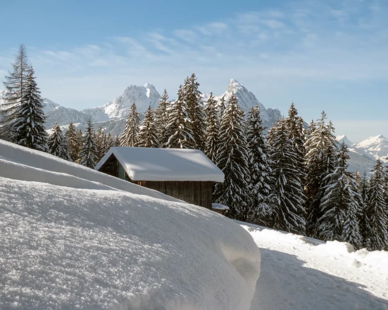
        A winter hiking paradise around the small mountain farming village of Habkern, at the foot of the Hohgant and Sieben Hengste peaks, where eagles and lynx dwell. This area, also the source of the Emme River, offers a wealth of impressive views.

        dist4 km
        |
        asce130 m
        |
        desc130 m
        |
        dura1h 30m
        • land

          Landscape: With panoramic views,Along the water

        Tour published by:

        SwitzerlandMobility

        Learn more on
        schweizmobil.ch

        Rundweg Habkern

        How to get to Rundweg Habkern

        Fastest connection from Brienz to Habkern, Post: 1h 41m
        Brienz (08:37)
        LIX (17m)
        Interlaken Ost (08:54)
        Interlaken Ost (08:59)
        IC61 (4m)
        Interlaken West (09:03)
        Walk from Interlaken West to Interlaken West, Bahnhof
        Interlaken West, Bahnhof (10:04)
        106 (14m)
        Habkern, Post (10:18)
        Search Connections & Buy Tickets on SBB
        8/10

        Winterwanderweg Oberbärgli

        Minimum travel time: 1h 53m to Chrindi
        Winterwanderweg Oberbärgli

        This route takes you from the Chrindi midway station past Lake Hinterstocken and then up to the idyllic Oberbärgli Alpine huts on Mount Lasenberg. A memorable experience of nature that will gradually make you forget the everyday routine.

        dist3 km
        |
        asce200 m
        |
        desc200 m
        |
        dura1h 15m

          Tour published by:

          SwitzerlandMobility

          Learn more on
          schweizmobil.ch

          Winterwanderweg Oberbärgli

          How to get to Winterwanderweg Oberbärgli

          Fastest connection from Brienz to Chrindi: 1h 53m
          Brienz (08:37)
          LIX (17m)
          Interlaken Ost (08:54)
          Interlaken Ost (09:07)
          GPX (46m)
          Erlenbach im Simmental (09:53)
          Walk from Erlenbach im Simmental to Erlenbach i.S. (Stockhornbahn)
          Erlenbach i.S. (Stockhornbahn) (10:20)
          2370 (10m)
          Chrindi (10:30)
          Search Connections & Buy Tickets on SBB
          9/10

          Jaunpass-Bäderegg-Weg

          Minimum travel time: 1h 58m to Jaunpass, Restaurant
          Jaunpass-Bäderegg-Weg

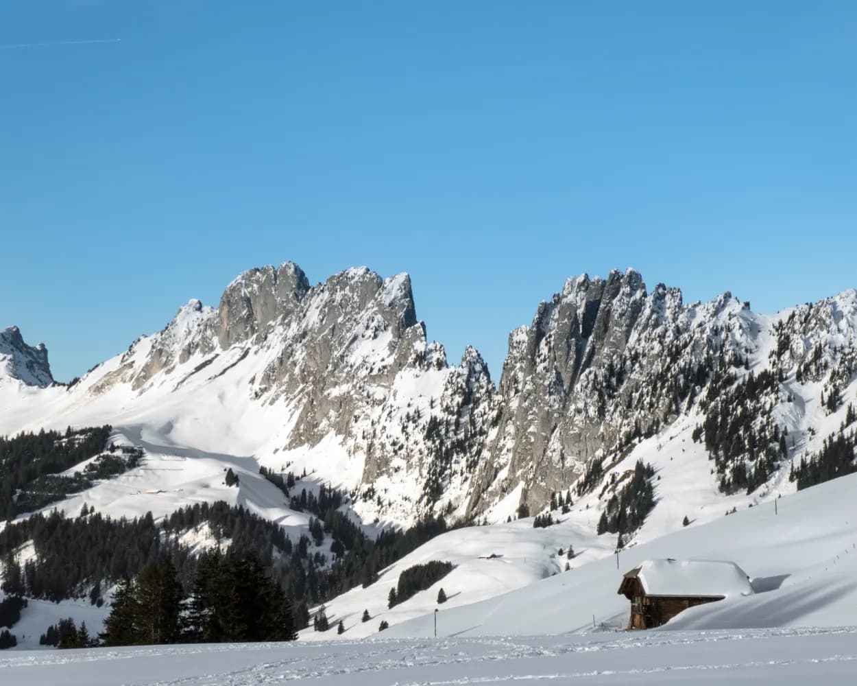
          You are in for a wild experience: With the Wildstrubel massif and the wild spikes of Gastlosen in view, the winter hiking trail leads to Bäderegg through snowy meadows over the vast pass landscape.

          dist6 km
          |
          asce170 m
          |
          desc170 m
          |
          dura1h 55m

            Tour published by:

            SwitzerlandMobility

            Learn more on
            schweizmobil.ch

            Jaunpass-Bäderegg-Weg

            How to get to Jaunpass-Bäderegg-Weg

            Fastest connection from Brienz to Jaunpass, Restaurant: 1h 58m
            Brienz (08:37)
            LIX (17m)
            Interlaken Ost (08:54)
            Interlaken Ost (09:07)
            GPX (1h 3m)
            Boltigen (10:10)
            Walk from Boltigen to Boltigen, Bahnhof
            Boltigen, Bahnhof (10:13)
            259 (22m)
            Jaunpass, Restaurant (10:35)
            Search Connections & Buy Tickets on SBB
            10/10

            Saanenmöser-Schönried-Winterwanderweg

            Minimum travel time: 2h 6m to Saanenmöser
            Saanenmöser-Schönried-Winterwanderweg

            After leaving Saanenmöser, winter walkers reach Schönried via a hiking trail with forests on either side. The view on the Horneggli and Schönried is the highlight of this popular route.

            dist5 km
            |
            asce110 m
            |
            desc140 m
            |
            dura1h 30m

              Tour published by:

              SwitzerlandMobility

              Learn more on
              schweizmobil.ch

              Saanenmöser-Schönried-Winterwanderweg

              How to get to Saanenmöser-Schönried-Winterwanderweg

              Fastest connection from Brienz to Saanenmöser: 2h 6m
              Brienz (08:37)
              LIX (17m)
              Interlaken Ost (08:54)
              Interlaken Ost (09:07)
              GPX (1h 13m)
              Zweisimmen (10:20)
              Zweisimmen (10:28)
              GPX (15m)
              Saanenmöser (10:43)
              Search Connections & Buy Tickets on SBB