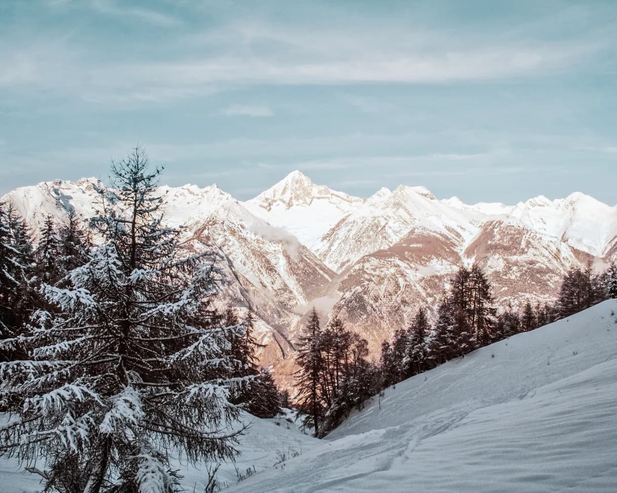
Discover a winter wonderland on these snowshoe hikes, all easily reachable from Visp by public transport. Snow-covered forests, wide alpine plateaus, and scenic routes offer memorable experiences in the heart of the Alps.
To make planning easier, the hikes below are sorted by travel time from Visp. Explore the map to find all snowshoe hikes and thousands of other outdoor activities accessible from anywhere in Switzerland.
Much more on ovunta.com/en/map
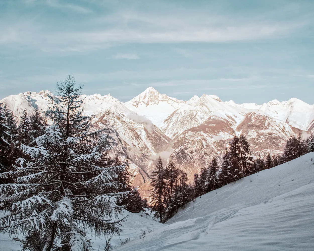
In 1957 the female citizens of Unterbäch were the first women in Switzerland to obtain the right to vote – 14 years before it was adopted nationwide. The Frauenzitate-Trail (Trail of Women’s Quotes) is dedicated to these courageous women. On the snowshoe tour from Brandalp to Unterbäch you will find a variety of quotes from world-famous women.
 4 km
4 km 90 m
90 m 440 m
440 m 1h 50m
Tour published by:
SwitzerlandMobility
Learn more on
schweizmobil.ch
| R91 (5m) | |
| 2253 (8m) | |
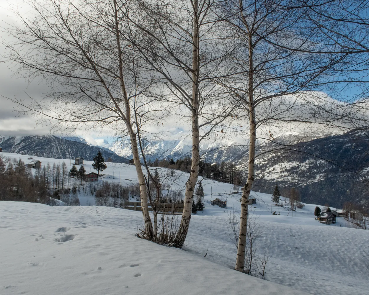
The Hüoterhüsi trail leads through dense fir forests, along a Valais suone (irrigation channel) to the water warden's house: the Hüoterhüsi. The return route via the Alp Bodma pasture in its dream-like setting is enough on its own to make this tour worthwhile.
8 km360 m360 m3h 40m
Landscape: Onto a mountain peak,Along the water,Onto an alp,With panoramic views
Tour published by:
SwitzerlandMobility
Learn more on
schweizmobil.ch
| 524 (23m) | |
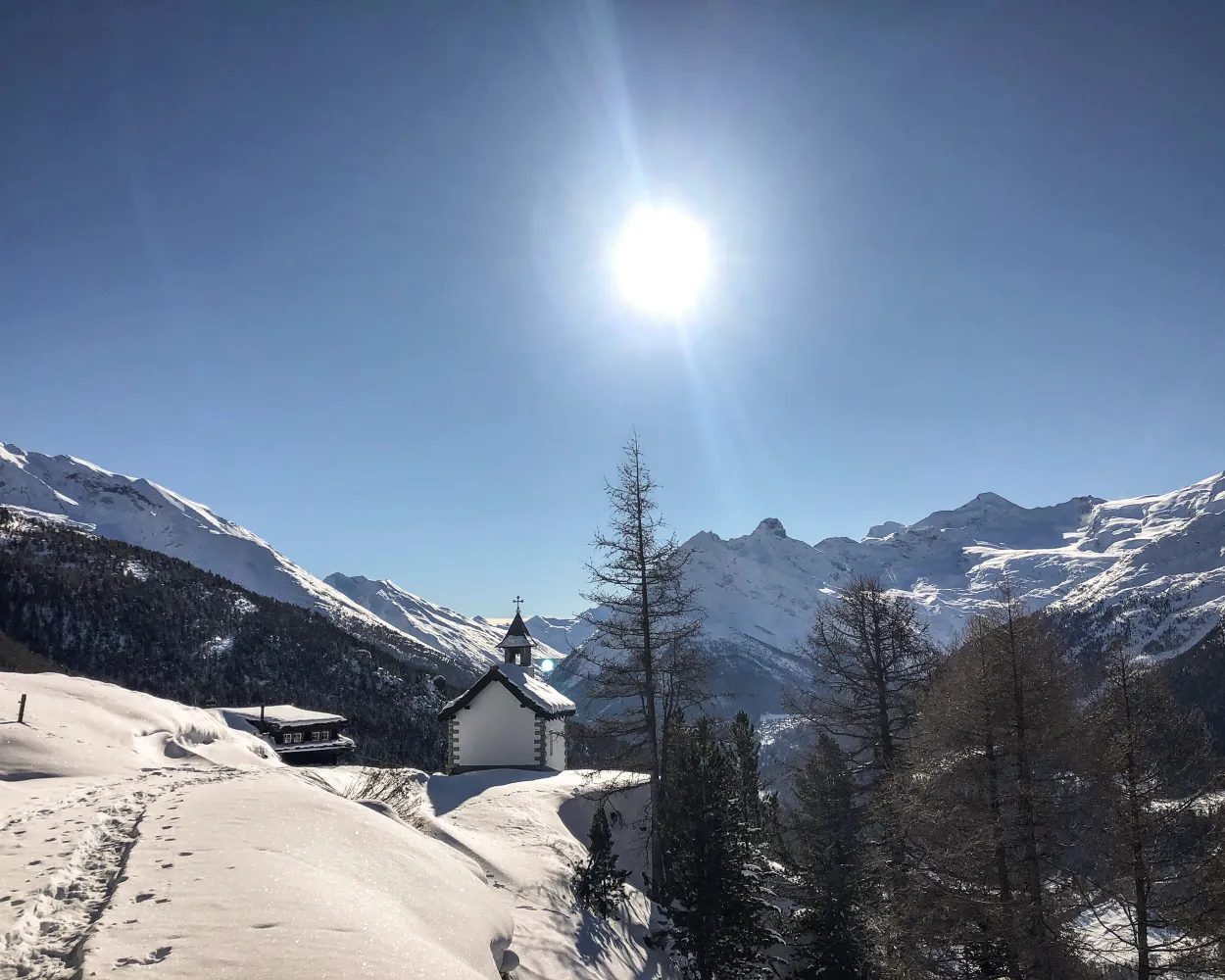
The trail is not signposted. On the Heimischgarte Trail the Saas Valley shows its quiet side. The delightful snowshoe hike above Saas-Balen leads through the snow-covered “Löübinobodme” natural forest reserve with views of the breathtaking mountains and the glacier landscape.
9 km640 m580 m4h 50mTour published by:
SwitzerlandMobility
Learn more on
schweizmobil.ch
| R41 (9m) | |
| 511 (19m) | |
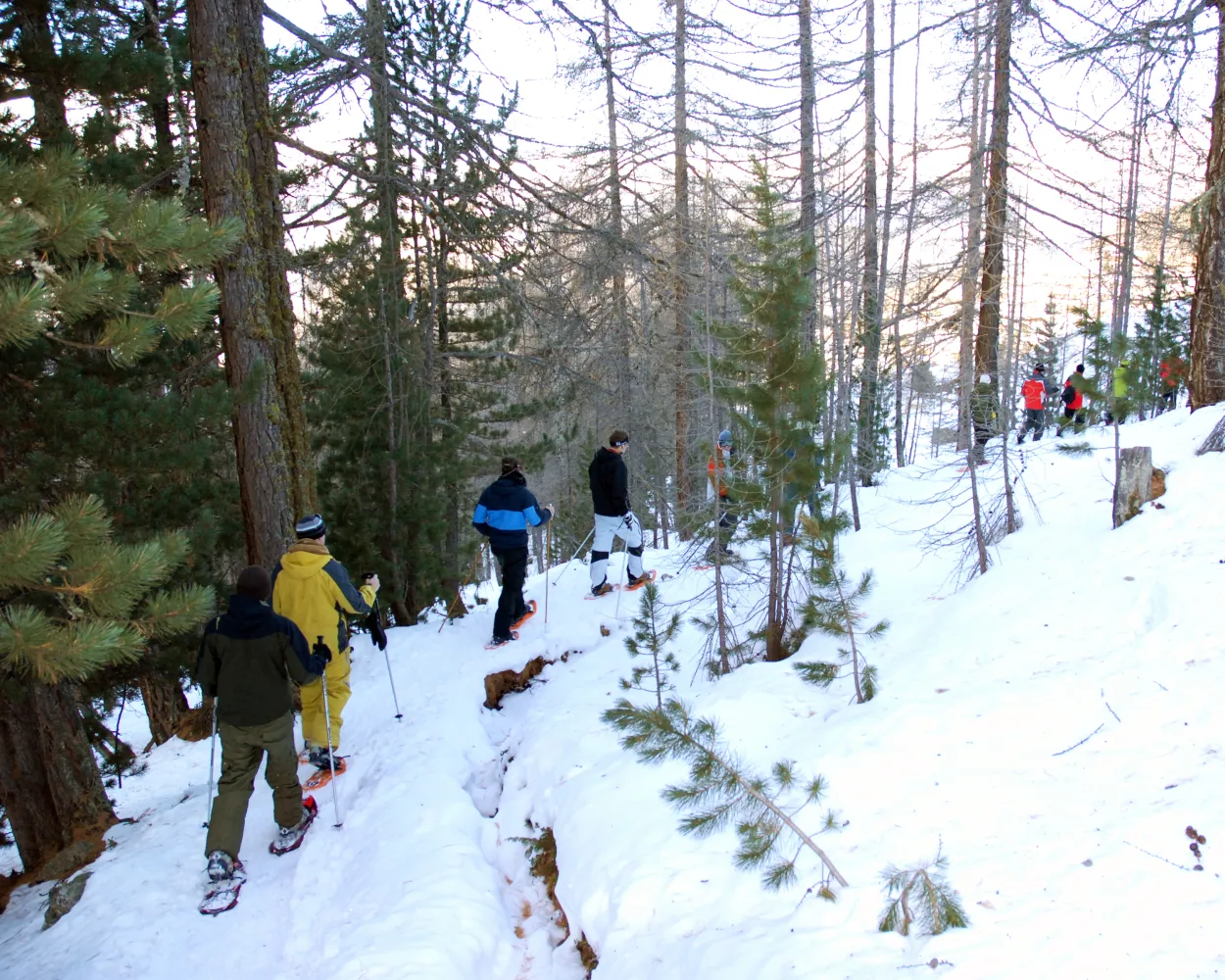
A snowshoe experience at a height of over 2,000 metres above sea level: the trail leads through the mountain pastures of Gspon, offering virtually uninterrupted views of the village and imposing mountain landscapes. To cap it off, the route goes past Europe’s highest football stadium.
3 km200 m200 m1h 45mTour published by:
SwitzerlandMobility
Learn more on
schweizmobil.ch
| R41 (9m) | |
| 2270 (7m) | |
| 2271 (6m) | |
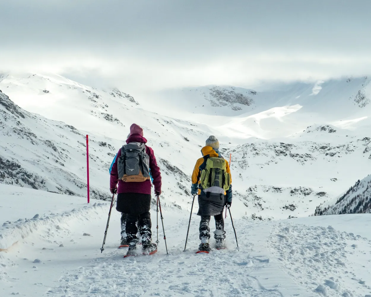
Visperterminen Panorama Trail: the name says it all! The higher you climb, the more 4,000-meter Valais peaks you can admire. This fairly easy tour takes you up Mount Gibidum, with one of the most impressive viewing pulpits in the Rhone Valley.
7 km440 m440 m3h 35mLandscape: Onto a mountain peak,With panoramic views
Tour published by:
SwitzerlandMobility
Learn more on
schweizmobil.ch
| 524 (23m) | |
| 2267 (6m) | |
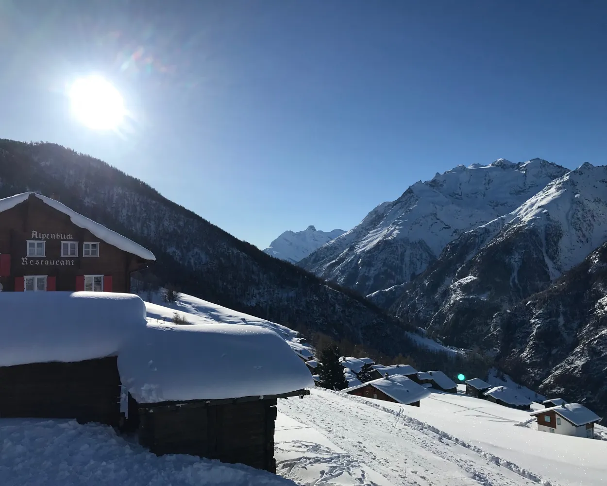
Past the highest football pitch in Europe and then onto winding paths leading higher and higher – after hiking through the snow-covered larch forest, snowshoe hikers will reach the top of the route with wonderful views of the Bietschhorn, Aletschhorn and Finsteraarhorn.
4 km220 m220 m2h 0mTour published by:
SwitzerlandMobility
Learn more on
schweizmobil.ch
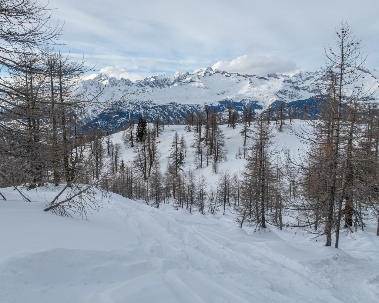
A winter wonderland in Rothwald – this trail leads through larches up to the Mäderlicka restaurant with views as far as Italy before descending into the Durstbachschlucht gorge. Before starting the journey back, you can make a stop on Wasenalp and enjoy views of the surrounding mountains and the Rhône Valley.
6 km520 m560 m4h 0mTour published by:
SwitzerlandMobility
Learn more on
schweizmobil.ch
| IC6 (8m) | |
| 631 (25m) | |
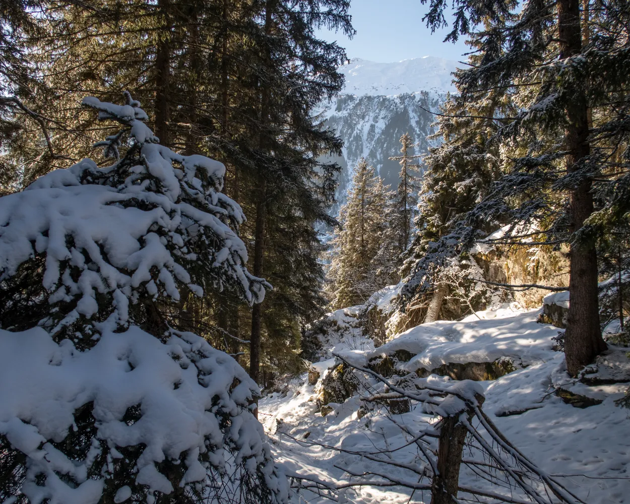
Starting from Blatten valley station, this short and easy trail takes you through the snow-covered Rischinu Forest. The trail initially passes through hilly landscapes in the direction of the Gibidum dam. It’s worth a detour for the views alone.
4 km240 m240 m2h 5mTour published by:
SwitzerlandMobility
Learn more on
schweizmobil.ch
| IC8 (8m) | |
| 624 (22m) | |
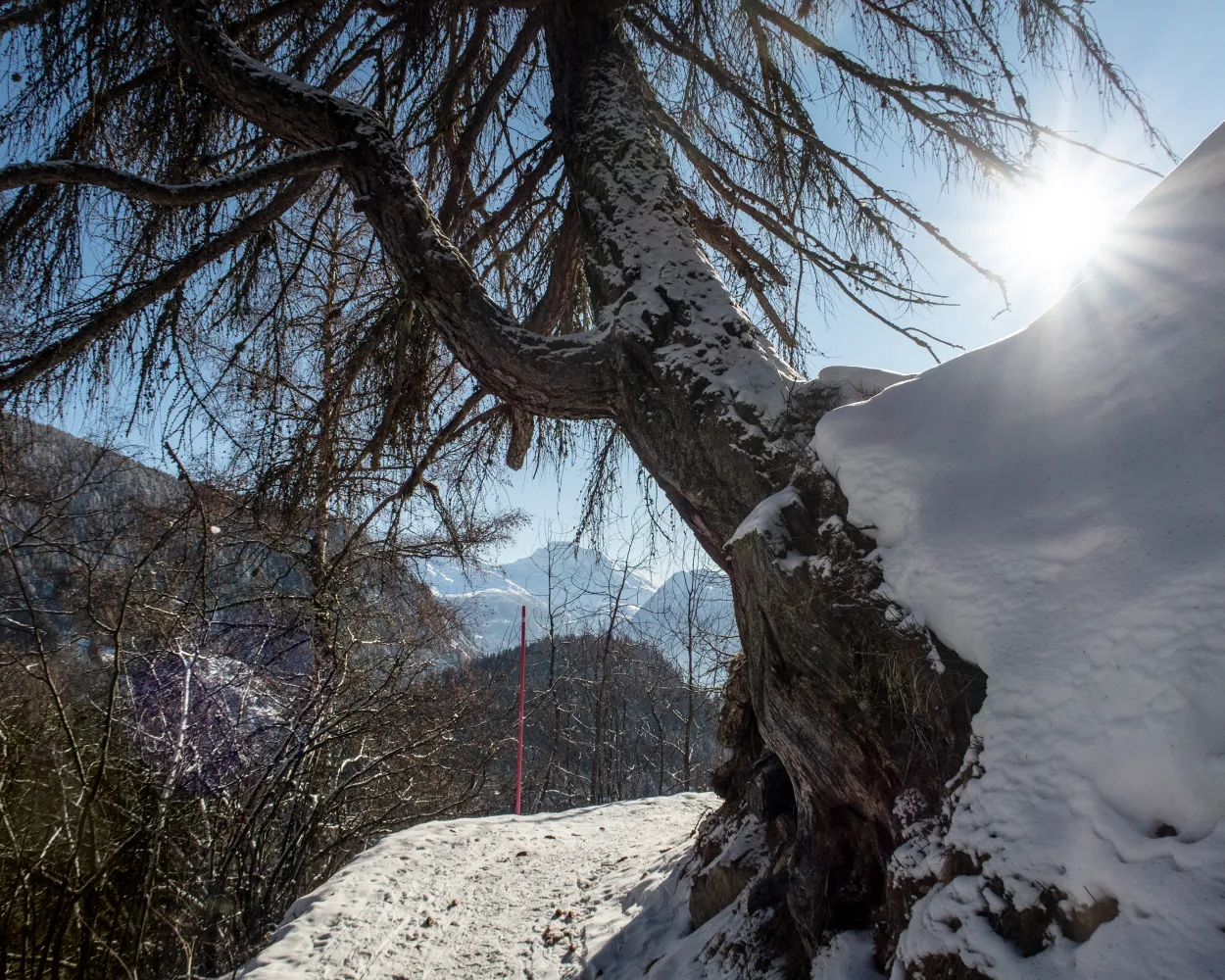
Between the hamlet of Rischinen and Aletschbord, you’ll experience nature at its most beautiful – via the hamlet of Egga with views into the valley, the trail continues until Holzji and the observation post. Once at Aletschbord, you can gaze in wonder at several four-thousand-metre peaks and the Great Aletsch Glacier.
7 km70 m840 m3h 0mTour published by:
SwitzerlandMobility
Learn more on
schweizmobil.ch
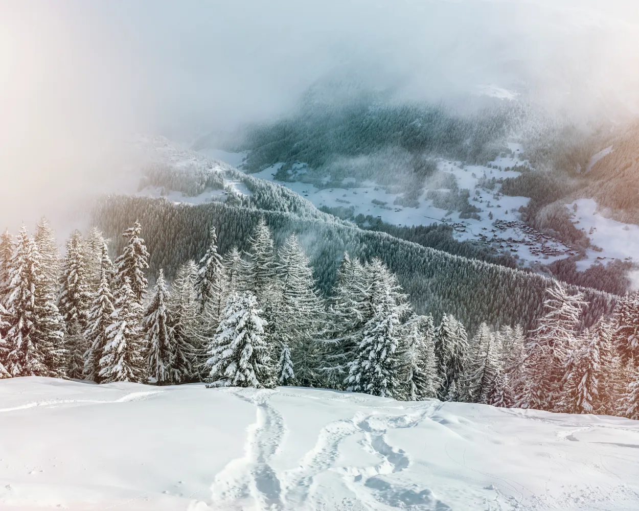
You’re sure to feel in perfect harmony with nature during this snowshoe experience in the region of Aletsch Arena. Over the course of the hike you will climb up through forests with snow-covered trees and along the Heimatt trail until you reach Fiescheralp.
5 km1100 m4h 40mTour published by:
SwitzerlandMobility
Learn more on
schweizmobil.ch
| R43 (45m) | |



