
Relaxed or more challenging: these winter hikes are all reachable from Engelberg by public transport. From easy panoramic walks to longer alpine routes, there’s something for every level of winter hiker.
The destinations below are sorted by travel time from Engelberg to make planning easier. Be sure to check the map to explore all winter hikes and thousands of other outdoor activities reachable from any starting point in Switzerland.
Much more on ovunta.com/en/map
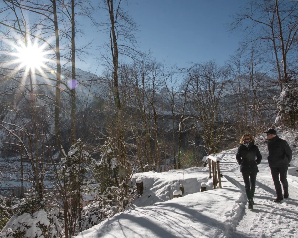
Engelberg’s Grotto Trail leads to the «End of the World». This high-altitude path takes walkers through a snowy landscape with views of Engelberg, past the famous «seven springs», and on to the Lourdes grotto and Horbis.
 6 km
6 km 170 m
170 m 170 m
170 m 2h 5m
2h 5mTour published by:
SwitzerlandMobility
Learn more on
schweizmobil.ch
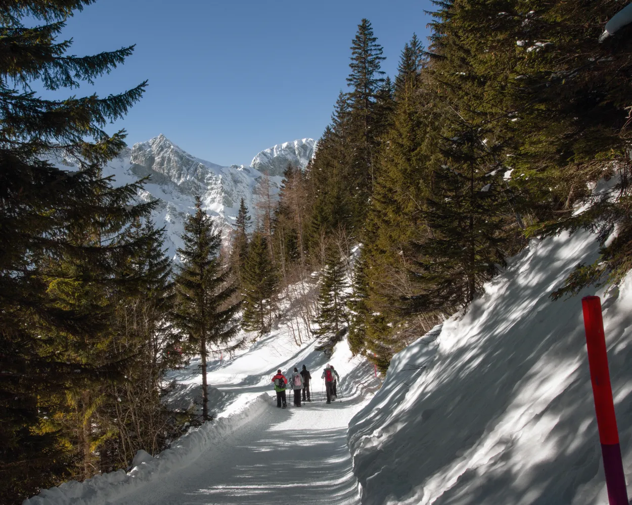
On the Ristis – Rigidalalp – Brunnihütte Panorama Trail you can enjoy a wonderful winter walk on Engelberg’s sunny side with delightful views of the Titlis and the Hahnen.
6 km280 m280 m2h 5mTour published by:
SwitzerlandMobility
Learn more on
schweizmobil.ch
Sweeping views far from the madding crowd: set among impressive mountain scenery wth a view on the Mythen, this winter trail leads through snow-covered pine forests.
5 km30 m340 m1h 40mTour published by:
SwitzerlandMobility
Learn more on
schweizmobil.ch
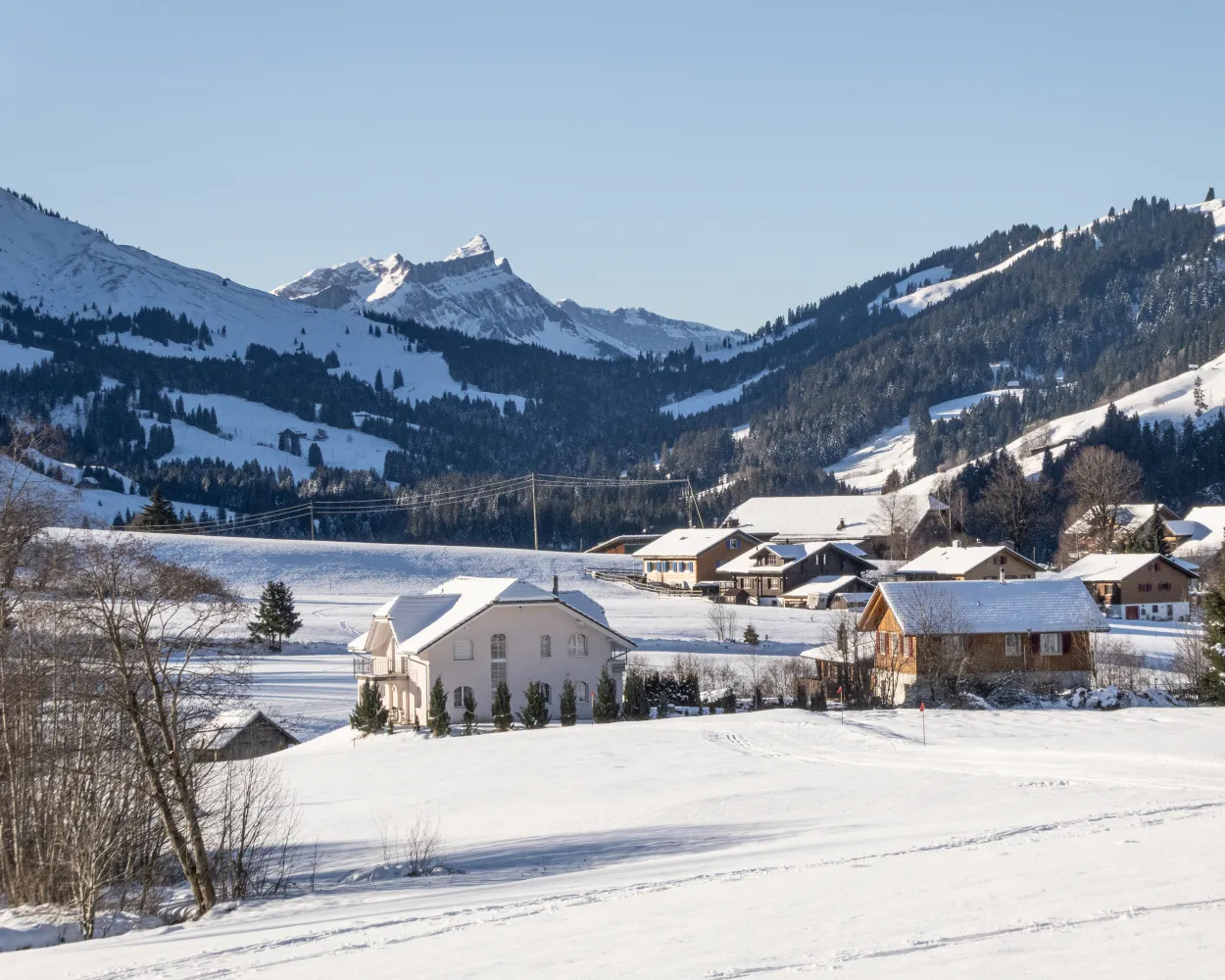
This sunny winter outing in the Finsterwald forest is perfect for those seeking peace and quiet in the midst of the Entlebuch moorland scenery. You'll pass a drilling platform (an industrial monument) and enjoy an impressive backdrop featuring the Schimbrig and the Fürstein.
5 km130 m130 m1h 35m
Landscape: Through a Swiss Park,With panoramic views
Tour published by:
SwitzerlandMobility
Learn more on
schweizmobil.ch
The winter sports destination of Klewenalp-Stockhütte offer a wide range of highlights away from the ski pistes, too: one of these is the romantic winter trail hrough Ängi Valley with a superb view over Lake Lucerne.
4 km30 m240 m1h 10mLandscape: Onto an alp,With panoramic views
Tour published by:
SwitzerlandMobility
Learn more on
schweizmobil.ch
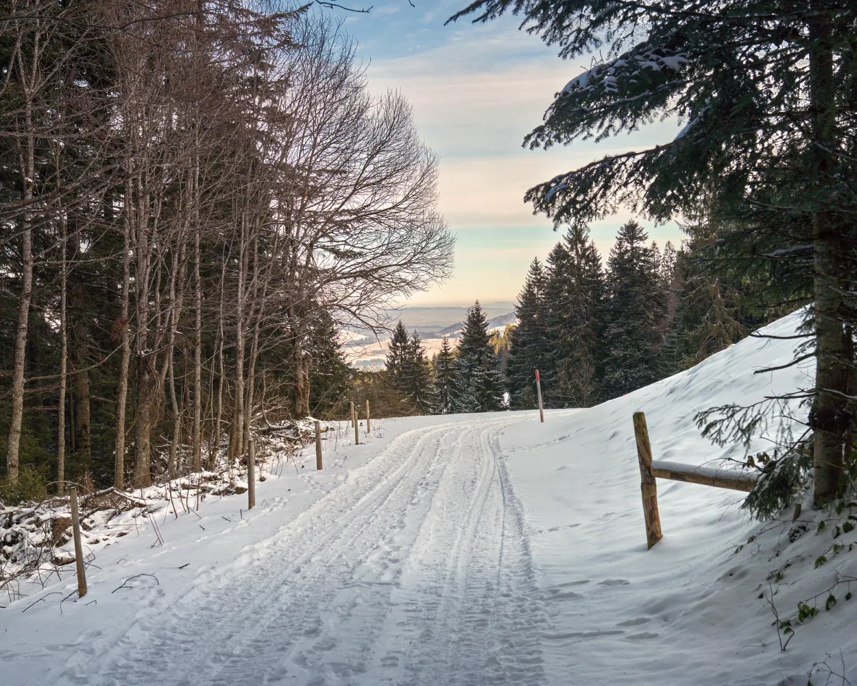
The Heiligkreuz 'place of power' is a real gem in the UNESCO Biosphere Entlebuch. It promises not only a feeling of energy and peace, but also sporty winter hiking trails in pristine nature. This trail leads via the Reistegg up to the First. Both places offer glorious views of the Napf hills.
6 km300 m300 m2h 10mLandscape: With panoramic views,Through a Swiss Park
Tour published by:
SwitzerlandMobility
Learn more on
schweizmobil.ch
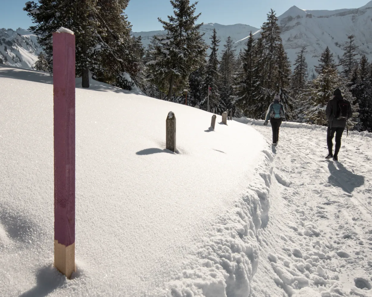
In winter, when the panorama road on the Glaubenbielen Pass is closed, you can experience pure nature here. The view of the Rothorn chain and the traces of wild animals in the snow make you forget about everyday life. The landslide area, which is clearly visible on this route, is also very exciting.
10 km400 m400 m3h 25mLandscape: Through a Swiss Park,With panoramic views,Over a pass
Tour published by:
SwitzerlandMobility
Learn more on
schweizmobil.ch
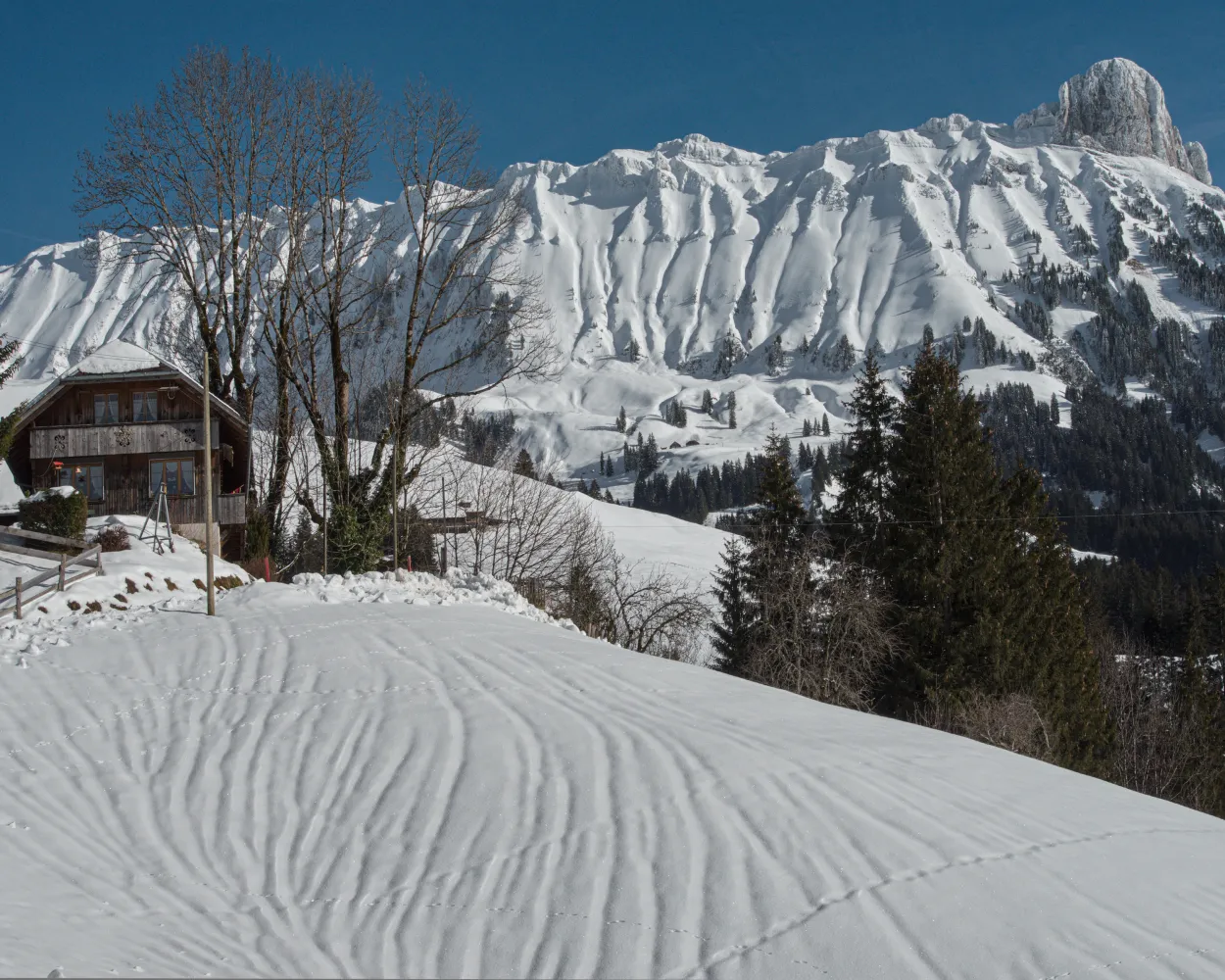
No desire for strenuous ascents? The hiking trail for this winter is a real insider tip for you, then: it is sunny and perfect for all those who prefer a short, not very demanding tour. Hiking downhill almost consistenly takes you even past the cantonal border between Berne and Lucerne.
6 km10 m540 m1h 45mLandscape: With panoramic views,Through a Swiss Park
Tour published by:
SwitzerlandMobility
Learn more on
schweizmobil.ch
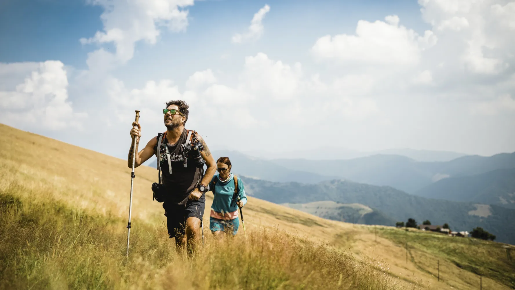
The journey from the town of Zug into the open countryside takes just eight minutes. The Zugerberg circuit through the high moorlands offers much more than just a phenomenal view of the town, Lake Zug, and the surrounding mountain landscape.
9 km240 m240 m3h 0mLandscape: Through a Swiss Park,With panoramic views
Tour published by:
SwitzerlandMobility
Learn more on
schweizmobil.ch
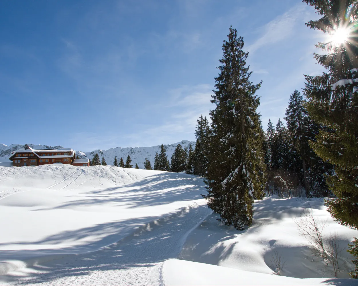
On the right the rugged Schrattenfluh, on the left the Brienzer Rothorn range – your constant companions on this winter hike. First from Rossweid to Salwideli, the trail then follows the Bärselbach and Emme streams to Kemmeribodenbad. The former health resort is now famous for its meringues.
11 km130 m620 m3h 30mTour published by:
SwitzerlandMobility
Learn more on
schweizmobil.ch



