
Relaxed or more challenging: these winter hikes are all reachable from Andermatt by public transport. From easy panoramic walks to longer alpine routes, there’s something for every level of winter hiker.
The destinations below are sorted by travel time from Andermatt to make planning easier. Be sure to check the map to explore all winter hikes and thousands of other outdoor activities reachable from any starting point in Switzerland.
Much more on ovunta.com/en/map
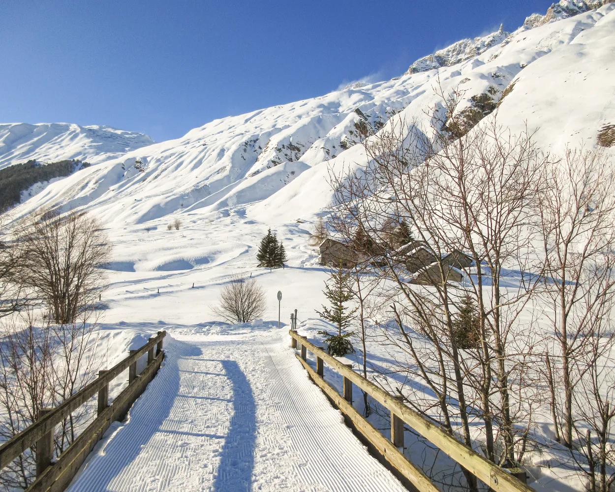
The winter hiking trail between Andermatt and Realp runs along the Reuss through the valley. It takes you past Hospental with its distinctive Tower of the Lords and then through the smallest village in Switzerland.
 9 km
 180 m
 70 m
 2h 50m
Tour published by:
SwitzerlandMobility
Learn more on
schweizmobil.ch
and on
myswitzerland.com

Hike to the Cungieri viewpoint and back. The path leads in long bends through open terrain. From the top, you get the best view over the Val Tujetsch. For a more leisurely alternative, take the Cuolm da Vi cable car from Sedrun to the intermediate station.
7 km420 m420 m2h 40mTour published by:
SwitzerlandMobility
Learn more on
schweizmobil.ch
and on
myswitzerland.com

This popular winter hike on the sunny side of the valley follows the railway line until Disentis. Impressive sights along the way include a view of the village below and the three peaks of the Piz Muraun, Piz Cazirauns and Piz Caschleglia in the distance.
9 km120 m440 m2h 50mTour published by:
SwitzerlandMobility
Learn more on
schweizmobil.ch
and on
myswitzerland.com
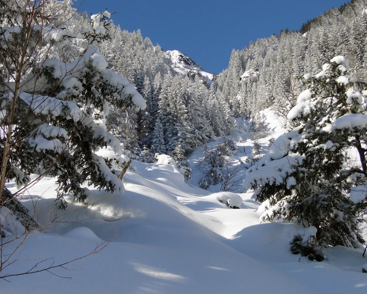
While you are on this car-free sunny mountain terrace in the canton of Uri, the Lake Arni winter hiking trail is the perfect place to stroll along the lakeside. Winter hikers are enchanted by the breathtaking mountain scenery along this easy and level route.
2 km30 m30 m40m Landscape: Along the water, With panoramic views
Tour published by:
SwitzerlandMobility
| R44 (15m) | |
| 401 (21m) | |
| PB (8m) | |

A sunny winter walk with views of Disentis, going across open fields and through the little village of Segnas with its lovingly preserved Walser houses.
6 km240 m240 m2h 10mTour published by:
SwitzerlandMobility
Learn more on
schweizmobil.ch
and on
myswitzerland.com
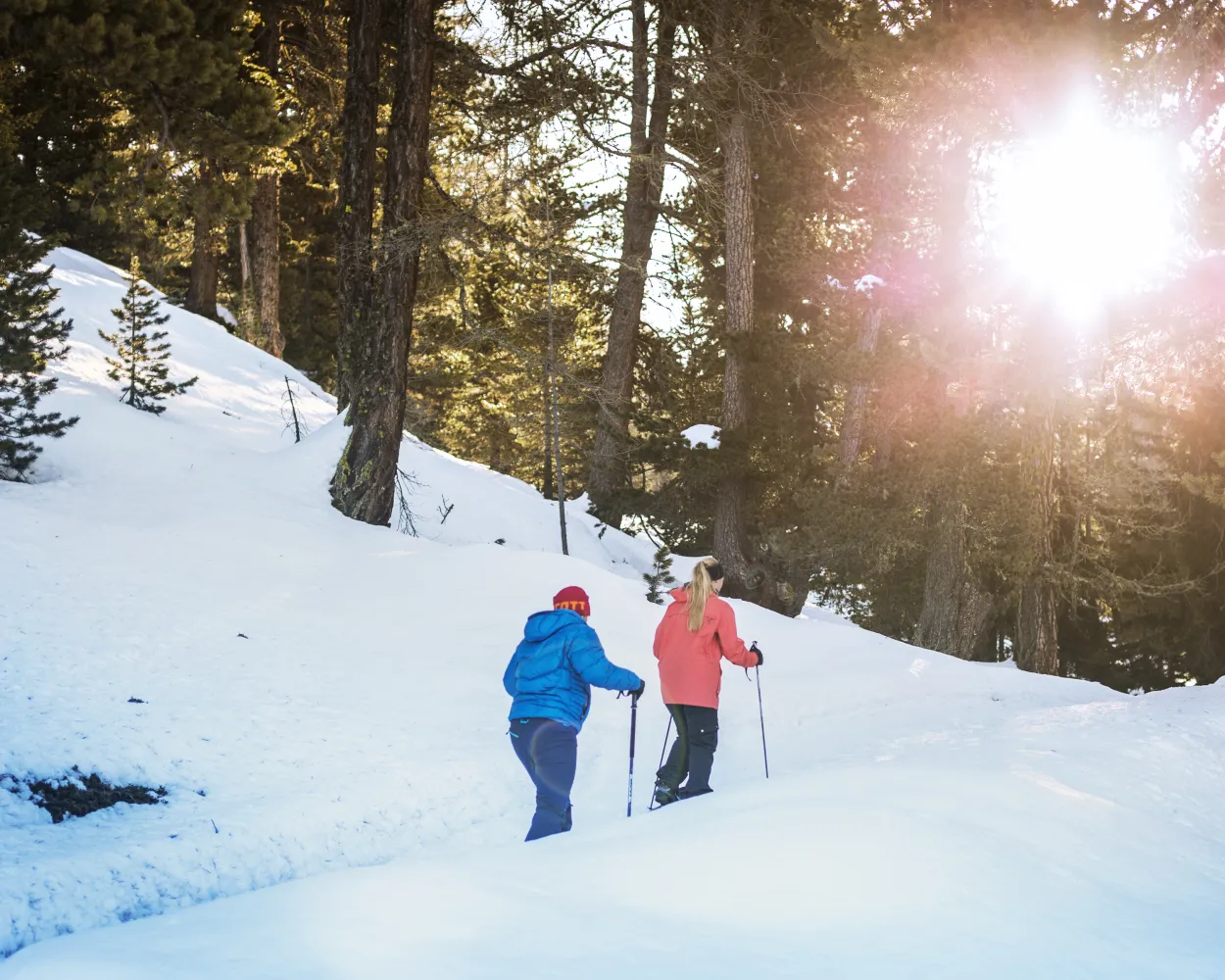
This hike is perfect for fans of winter forest hikes. The view of Fiesch can be enjoyed at every stage of the walk. From the Aletsch Zoo, the two-hour winter hike leads through the alder forest on a slight hill parallel to the Wysswasser glacier creek to Fieschertal.
6 km150 m150 m1h 50mTour published by:
SwitzerlandMobility
Learn more on
schweizmobil.ch
and on
myswitzerland.com
| R43 (1h 16m) | |
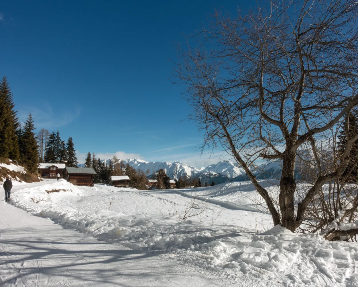
This is a classic route and very popular for good reason: The views of the 4000-meter peaks of the Valais along the way are without parallel. The path leads from Bettmeralp via Wurzenbord up to Bättmer-Hitta. A walk through the winter wonderland takes you to Fiescheralp.
9 km480 m180 m3h 25mTour published by:
SwitzerlandMobility
Learn more on
schweizmobil.ch
and on
myswitzerland.com
| R43 (1h 16m) | |
| R1 (10m) | |
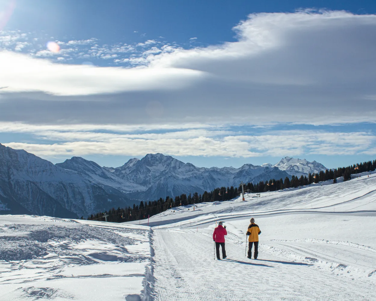
Relaxing winter hike with a view – there are no challenging ascents to overcome on this tour. Nevertheless, it offers magnificent views across the sunny plateau and the Valais mountains, including the Matterhorn.
6 km220 m240 m2h 0mTour published by:
SwitzerlandMobility
Learn more on
schweizmobil.ch
and on
myswitzerland.com
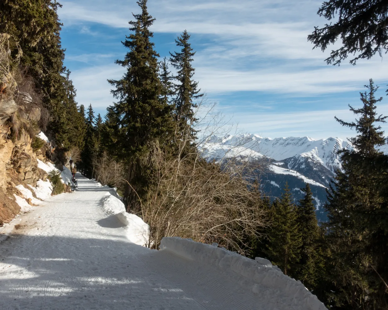
Feel like a short, easy hike on a sunny plateau? If so, this circuit is made for you. The path leads from the mountain station of the cable car Bettmeralp towards Ried, through the Baderwald and along the forest promenade back to Bettmeralp.
5 km180 m180 m1h 50mTour published by:
SwitzerlandMobility
Learn more on
schweizmobil.ch
and on
myswitzerland.com
| R43 (1h 37m) | |
| H3 (7m) | |
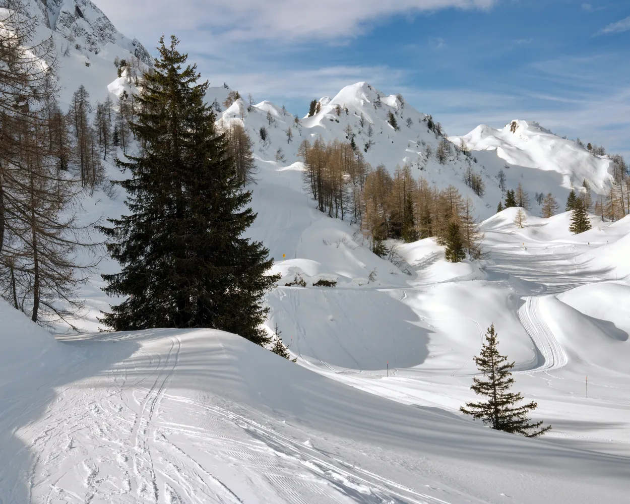
The winter hiking trail between Airolo and Pesciüm, overlooking the majestic massif of the St. Gotthard, offers a privileged point of view to enjoy the scenic landscapes of the heart of the Swiss Alps.
3 km100 m100 m55mLandscape: Through a Swiss Park, With panoramic viewsTour published by:
SwitzerlandMobility
| R44 (15m) | |
| 401 (6m) | |
| 401 (9m) | |
| IR26 (10m) | |
| 112 (2m) | |
| 2600 (5m) | |
Learn more on
schweizmobil.ch
and on
myswitzerland.com
Learn more on
schweizmobil.ch
and on
myswitzerland.com


