Logo
Blog
To the map
Blog header image

Snowshoeing from Estavayer-le-Lac by public transport

Discover a winter wonderland on these snowshoe hikes, all easily reachable from Estavayer-le-Lac by public transport. Snow-covered forests, wide alpine plateaus, and scenic routes offer memorable experiences in the heart of the Alps.

To make planning easier, the hikes below are sorted by travel time from Estavayer-le-Lac. Explore the map to find all snowshoe hikes and thousands of other outdoor activities accessible from anywhere in Switzerland.

Much more on ovunta.com/en/map
Discover other activities close to Estavayer-le-Lac

  • Winter Hikes from Estavayer-le-Lac by public transport
  • Scenic Hikes from Estavayer-le-Lac
  • Cross-country skiing resorts from Estavayer-le-Lac by public transport
  • Sledging runs from Estavayer-le-Lac by public transport
  • Explore Swiss ski resorts from Estavayer-le-Lac: Ski Areas Linked by Train and Bus

Start from elsewhere?

  • Snowshoeing from Vevey by public transport
  • Snowshoeing from Gruyères by public transport
  • Snowshoeing from Château-d'Oex by public transport
1/10

Parcours Col des Etroits–La Vraconnaz

Minimum travel time: 1h 25m to Ste-Croix, Col-des-Etroits

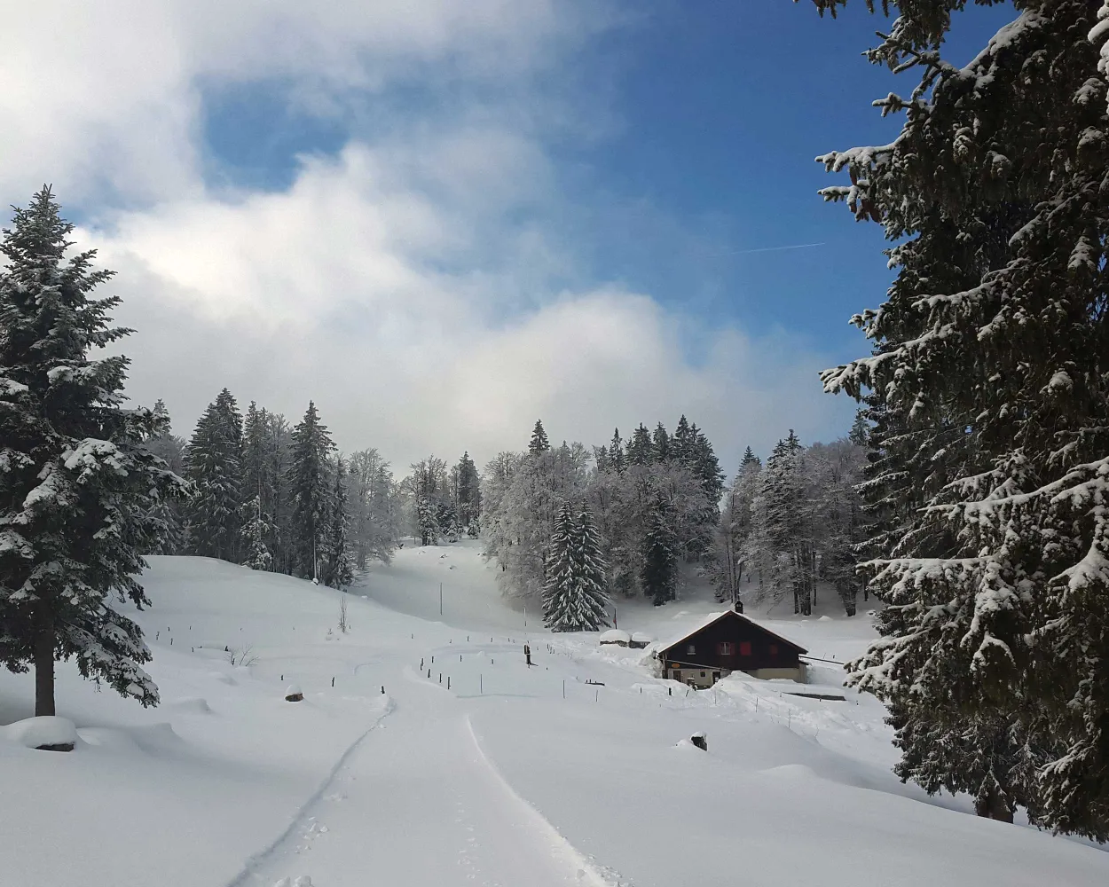
Ideal for hikers who want to get close to nature, this route takes you through meadows and forests via L’Auberson, a typical Jura village, and the plateau of Les Granges offering unique views of the Jura mountains.

dist9 km
|
asce300 m
|
desc300 m
|
dura3h 35m

    Tour published by:

    SwitzerlandMobility

    Learn more on
    schweizmobil.ch

    How to get to Parcours Col des Etroits–La Vraconnaz

    2/10

    Parcours du Chasseron

    Minimum travel time: 1h 25m to Les Rasses, Grand-Hôtel

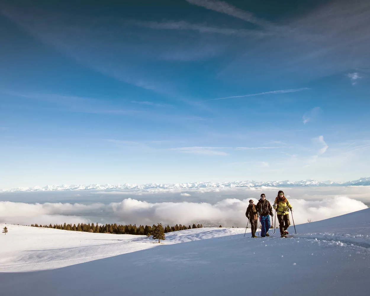
    An exceptional snowshoe trail, with many points to stop and refuel, taking you to the Chasseron, one of the highest peaks in the Jura, and its unique alpine vista of more than 250km of the Alpine chain.

    dist11 km
    |
    asce520 m
    |
    desc520 m
    |
    dura5h 0m
    • land

      Landscape: Onto a mountain peak,With panoramic views

    Tour published by:

    SwitzerlandMobility

    Learn more on
    schweizmobil.ch

    How to get to Parcours du Chasseron

    Fastest connection from Estavayer-le-Lac to Les Rasses, Grand-Hôtel: 1h 25m
    S30 (16m)
    R12 (36m)
    Walk from to
    615 (5m)
    Search Connections & Buy Tickets on SBB
    3/10

    Parcours du Mont-d'Amin

    Minimum travel time: 1h 25m to Vue-des-Alpes

    Much appreciated given its starting point close to the postbus stop, the route is very varied and explores typical Jura landscapes. When the weather is clear, as the name suggests, you will have a glorious view over the Alps.

    dist7 km
    |
    asce240 m
    |
    desc240 m
    |
    dura2h 50m
    • land

      Landscape: With panoramic views,Onto a mountain peak

    Tour published by:

    SwitzerlandMobility

    Learn more on
    schweizmobil.ch


    How to get to Parcours du Mont-d'Amin

    Fastest connection from Estavayer-le-Lac to Vue-des-Alpes: 1h 25m
    S30 (16m)
    IC51 (20m)
    RE6 (19m)
    Walk from to
    426 (12m)
    Search Connections & Buy Tickets on SBB
    4/10

    Parcours Col des Etroits–Mont-des-Cerfs

    Minimum travel time: 1h 25m to Ste-Croix, Col-des-Etroits

    This hiking trail between Col des Etroits, L’Auberson and the Mont-des-Cerfs offers a chance to discover the natural beauty of the Vaud Jura landscape. History buffs might appreciate a detour to the Museum of Mechanical Art and Heritage in Sainte-Croix.

    dist8 km
    |
    asce280 m
    |
    desc280 m
    |
    dura3h 15m

      Tour published by:

      SwitzerlandMobility

      Learn more on
      schweizmobil.ch


      How to get to Parcours Col des Etroits–Mont-des-Cerfs

      Fastest connection from Estavayer-le-Lac to Ste-Croix, Col-des-Etroits: 1h 25m
      S30 (16m)
      R12 (36m)
      Walk from to
      615 (5m)
      Search Connections & Buy Tickets on SBB
      5/10

      Parcours Le Brand–La Berra

      Minimum travel time: 1h 26m to La Roche FR, La Berra

      Do you fancy an energetic walk with a unique view? This route takes you through forests and clearings to the Cousimbert. The view alone is worth the walk: from the Lac de la Gruyère, the Swiss Plateau and the Jura mountain range can be seen along with the Chasseral.

      dist6 km
      |
      asce740 m
      |
      desc130 m
      |
      dura3h 45m
      • land

        Landscape: Along the water,Onto a mountain peak,With panoramic views

      Tour published by:

      SwitzerlandMobility

      Learn more on
      schweizmobil.ch

      How to get to Parcours Le Brand–La Berra

      Fastest connection from Estavayer-le-Lac to La Roche FR, La Berra: 1h 26m
      S30 (39m)
      Walk from to
      236 (40m)
      Search Connections & Buy Tickets on SBB
      6/10

      Parcours Montsoflo–Les Fornis

      Minimum travel time: 1h 27m to La Roche FR, Montsoflo

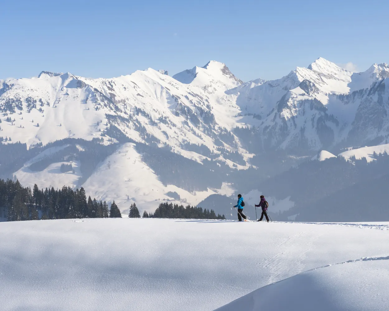
      This family walk is suitable for all and takes you to Montsoflo aux Fornis, where you can savour the views over the Lac de la Gruyère, the Gibloux, the Swiss Plateau and the Jura mountain range in the distance.

      dist5 km
      |
      asce190 m
      |
      desc190 m
      |
      dura2h 5m

        Tour published by:

        SwitzerlandMobility

        Learn more on
        schweizmobil.ch

        How to get to Parcours Montsoflo–Les Fornis

        Fastest connection from Estavayer-le-Lac to La Roche FR, Montsoflo: 1h 27m
        S30 (39m)
        Walk from to
        234 (29m)
        235 (6m)
        Search Connections & Buy Tickets on SBB
        7/10

        Schwyberg Trail

        Minimum travel time: 1h 34m to Schwarzsee, Gypsera

        The Schwyberg trail makes for a wonderfully decelerating experience. Peace and nature have returned to what was once a bustling ski resort. Once you have climbed the Schwyberg, a breathtaking view from the alps to the Jura rewards the hikers.

        dist9 km
        |
        asce660 m
        |
        desc660 m
        |
        dura5h 0m

          Tour published by:

          SwitzerlandMobility

          Learn more on
          schweizmobil.ch

          How to get to Schwyberg Trail

          Fastest connection from Estavayer-le-Lac to Schwarzsee, Gypsera: 1h 34m
          S30 (39m)
          Walk from to
          123 (50m)
          Search Connections & Buy Tickets on SBB
          8/10

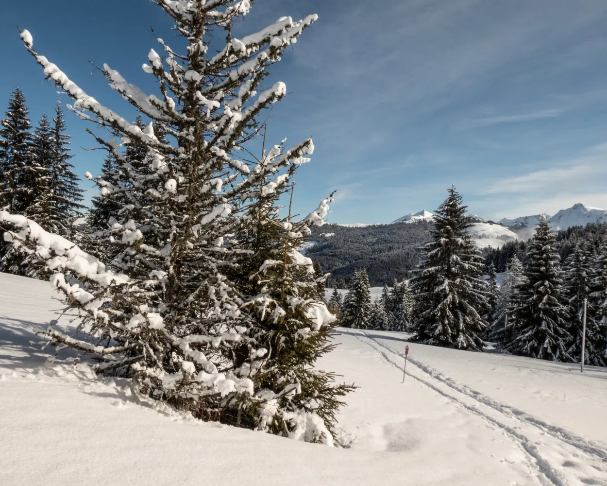
          Parcours Le Locle–La Sagne

          Minimum travel time: 1h 37m to La Sagne

          Part of the UNESCO world heritage for its town planning, the town of Locle was built around the know-how of watchmakers. The snowshoe trek from Locle to La Sagne marks the change from top-of-the range watchmaking to vast open prairies.

          dist8 km
          |
          asce360 m
          |
          desc360 m
          |
          dura3h 40m

            Tour published by:

            SwitzerlandMobility

            Learn more on
            schweizmobil.ch

            How to get to Parcours Le Locle–La Sagne

            Fastest connection from Estavayer-le-Lac to La Sagne: 1h 37m
            S30 (16m)
            IC5 (20m)
            IR66 (28m)
            R22 (13m)
            Search Connections & Buy Tickets on SBB
            9/10

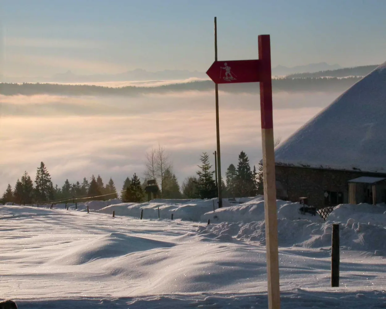
            Parcours Charmey–Jaun

            Minimum travel time: 1h 38m to Charmey (Gruyère),La Fulateyre

            The snowshoe trail «Charmey–Jaun» links the villages of Charmey and Jaun. The route offers a pleasant walk along the Jogne. The path ends at the foot of the Cantorama and the Jaun waterfall.

            dist9 km
            |
            asce220 m
            |
            desc70 m
            |
            dura3h 30m

              Tour published by:

              SwitzerlandMobility

              Learn more on
              schweizmobil.ch

              How to get to Parcours Charmey–Jaun

              Fastest connection from Estavayer-le-Lac to Charmey (Gruyère),La Fulateyre: 1h 38m
              S30 (39m)
              Walk from to
              245 (49m)
              Search Connections & Buy Tickets on SBB
              10/10

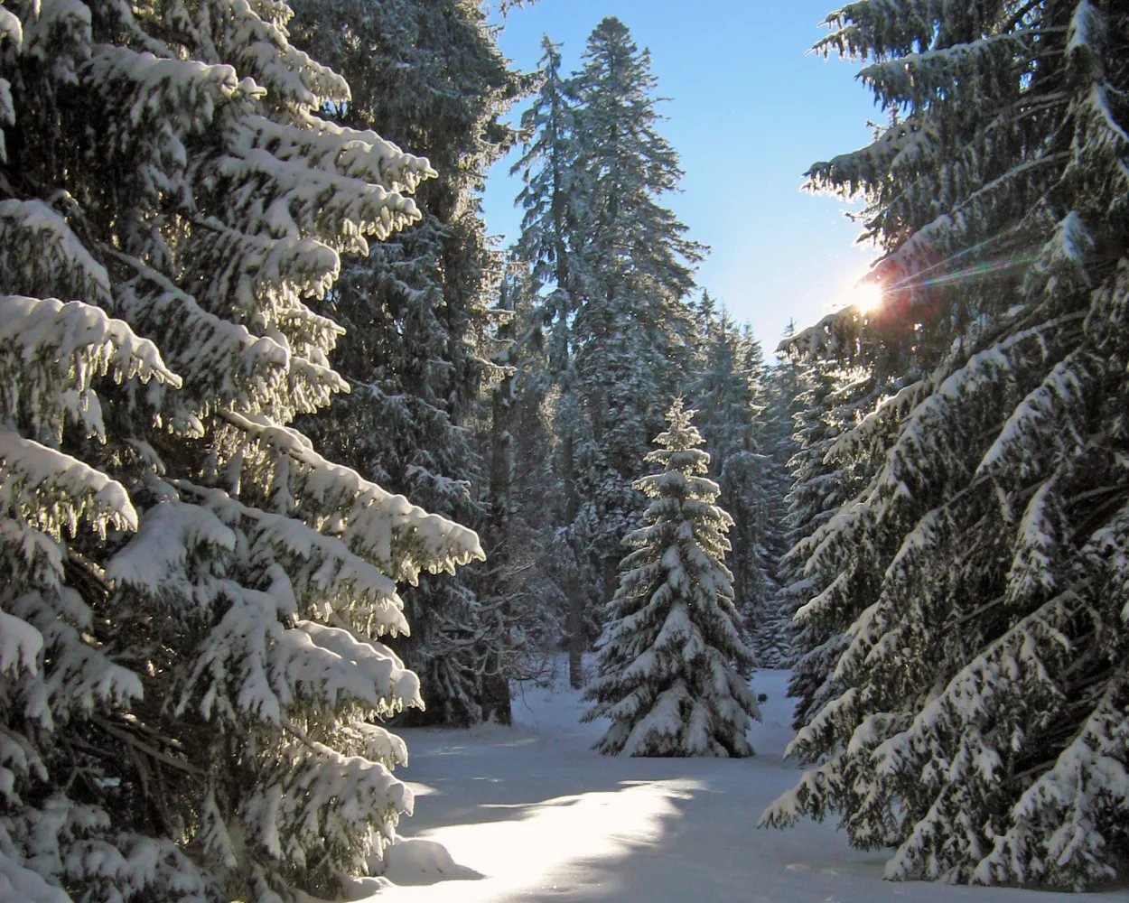
              Parcours Le Noirmont–Les Bois

              Minimum travel time: 1h 38m to Les Bois

              A magnificent path through the Franches-Montagnes between the villages of Le Noirmont and Les Bois. It’s a discovery of the region's marvellous nature. It is composed of pasturelands, pine tree forests and inviting and typically named hamlets, home to the former houses of artisan watchmakers.

              dist9 km
              |
              asce220 m
              |
              desc160 m
              |
              dura3h 35m

                Tour published by:

                SwitzerlandMobility

                Learn more on
                schweizmobil.ch

                How to get to Parcours Le Noirmont–Les Bois

                Fastest connection from Estavayer-le-Lac to Les Bois: 1h 38m
                S30 (16m)
                IC5 (20m)
                IR66 (28m)
                R36 (16m)
                Search Connections & Buy Tickets on SBB