Logo
Blog
To the map
Blog header image

Snowshoeing from Lausanne by public transport

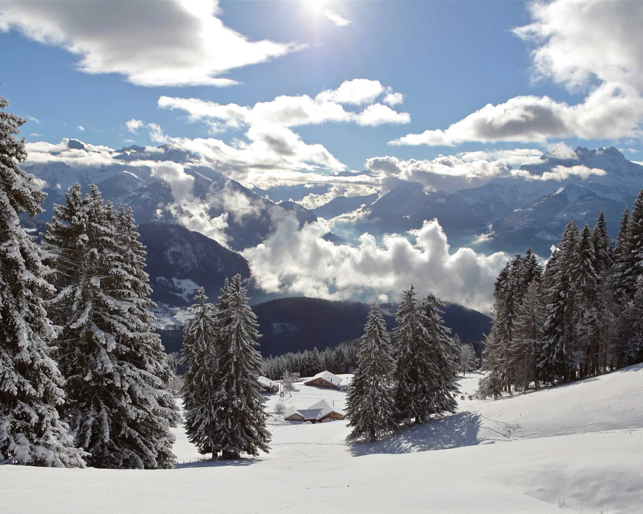
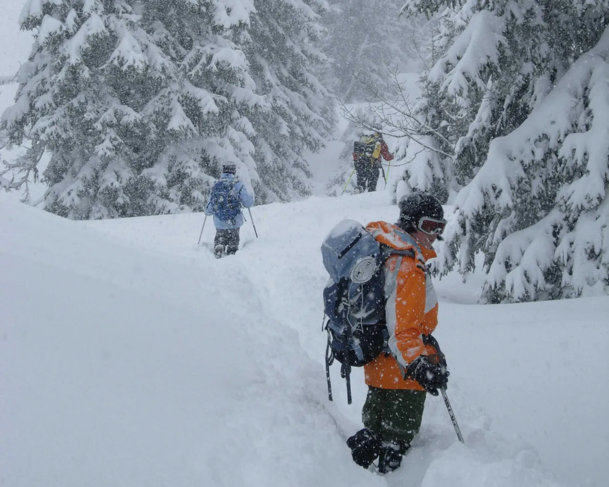
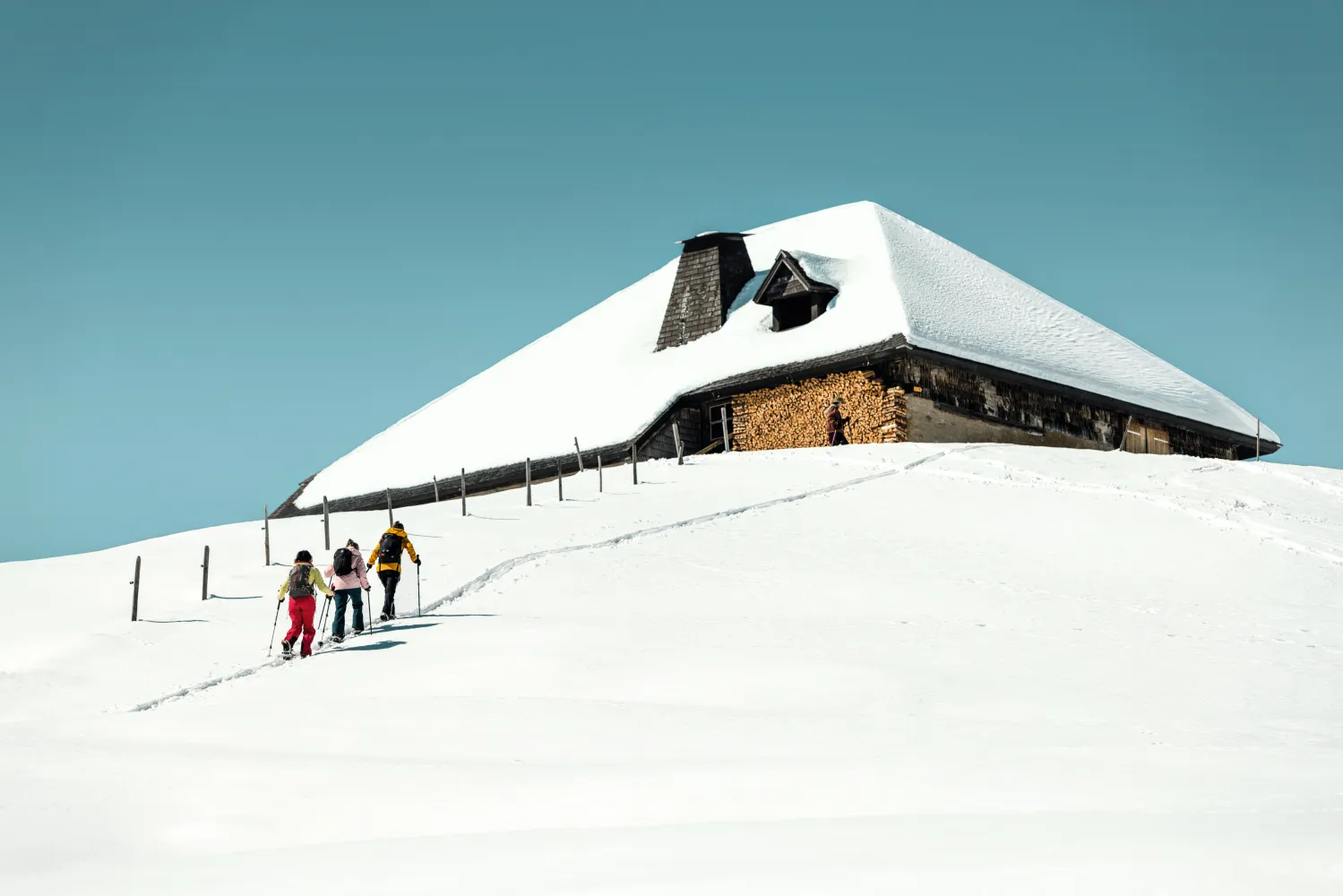
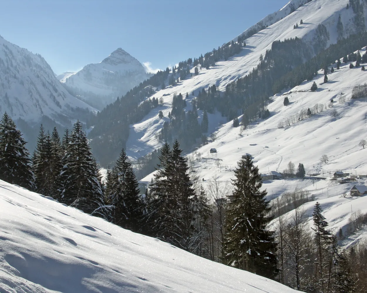
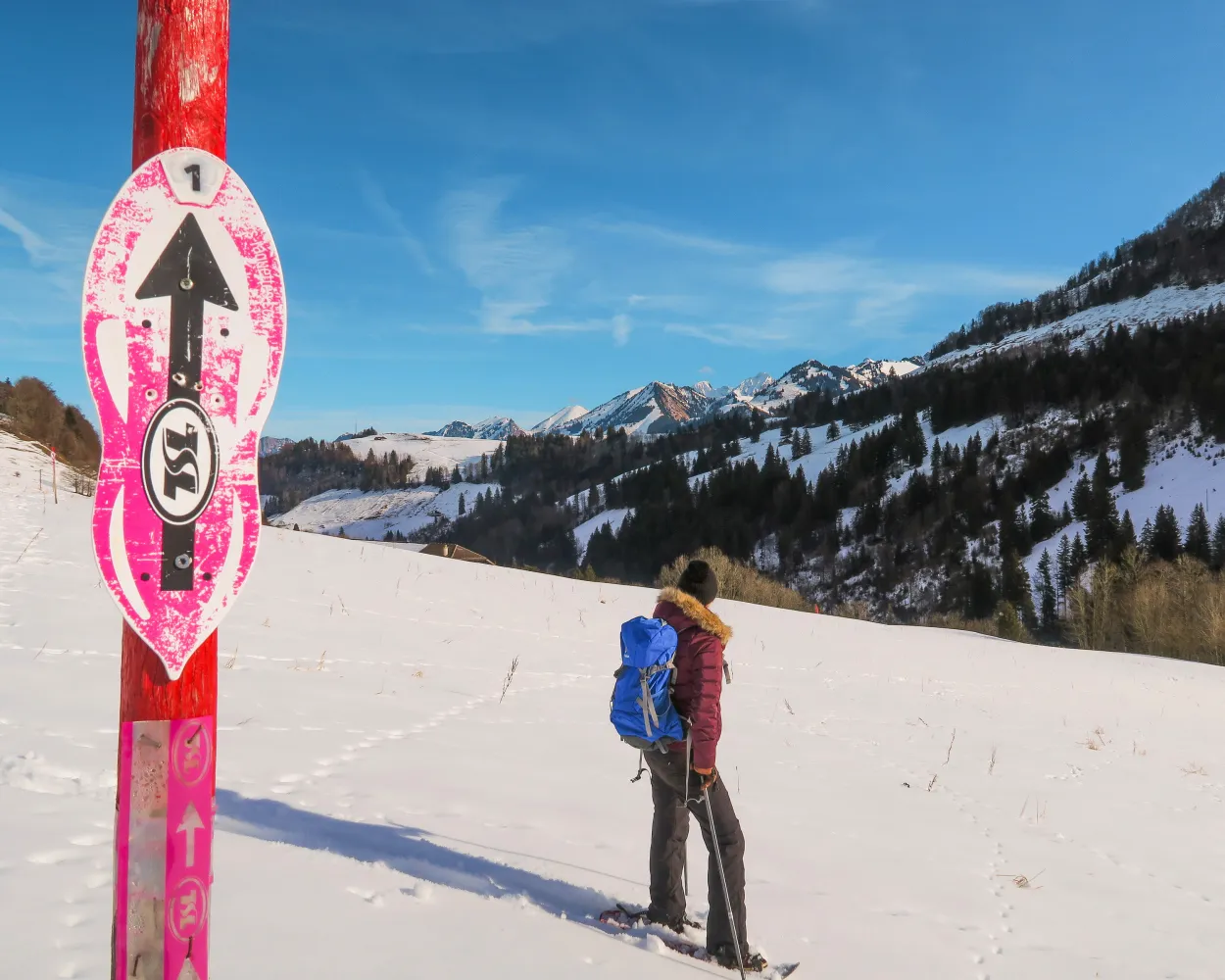
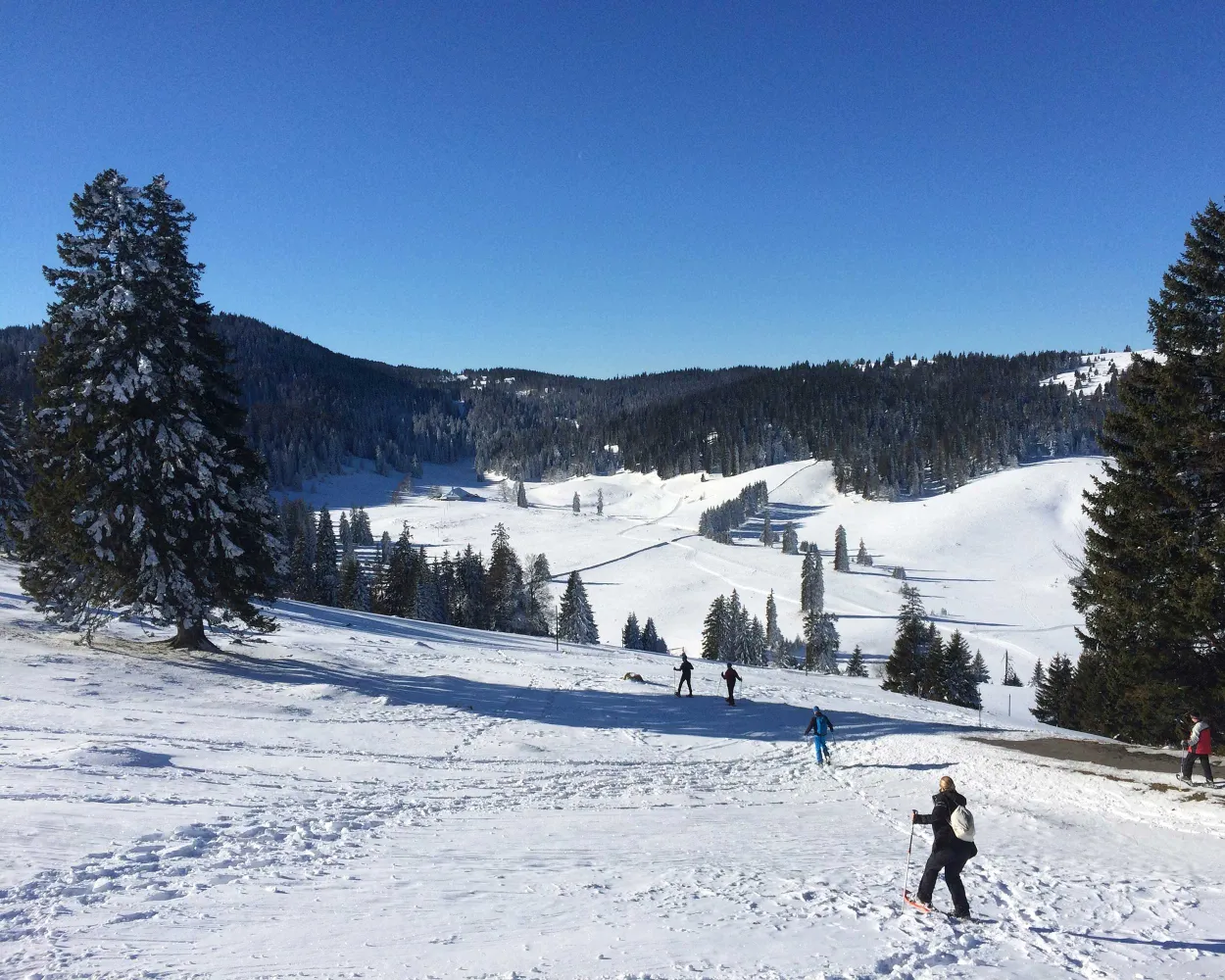
Discover a winter wonderland on these snowshoe hikes, all easily reachable from Lausanne by public transport. Snow-covered forests, wide alpine plateaus, and scenic routes offer memorable experiences in the heart of the Alps.

To make planning easier, the hikes below are sorted by travel time from Lausanne. Explore the map to find all snowshoe hikes and thousands of other outdoor activities accessible from anywhere in Switzerland.

Much more on ovunta.com/en/map
Discover other activities close to Lausanne

  • Cross-country skiing resorts from Lausanne by public transport
  • Sledging runs from Lausanne by public transport
  • Plan Your Ski Day from Lausanne: Resorts Sorted by Travel Time on Public Transport
  • Winter Hikes from Lausanne by public transport

Start from elsewhere?

  • Snowshoeing from Gruyères by public transport
  • Snowshoeing from Montreux by public transport
  • Snowshoeing from Château-d'Oex by public transport
1/10

Parcours du Rotey

Minimum travel time: 1h 0m to Les Cases

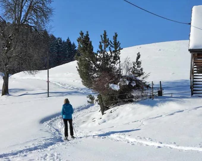
Running either side of the railway, with views over the hamlet of Allières and the mountain pastures of Le Revers, this is a pleasant route in the pure air.

dist3 km
|
asce160 m
|
desc160 m
|
dura1h 35m

    Tour published by:

    SwitzerlandMobility

    Learn more on
    schweizmobil.ch

    How to get to Parcours du Rotey

    Fastest connection from Lausanne to Les Cases: 1h 0m
    IR95 (22m)
    30 (31m)
    Search Connections & Buy Tickets on SBB
    2/10

    Parcours de Solacyre

    Minimum travel time: 1h 2m to Versmont

    This lofty sport route is primarily ideal for nature lovers, offering stunning views of Lake Geneva and the surrounding peaks.

    dist5 km
    |
    asce360 m
    |
    desc360 m
    |
    dura2h 40m

      Tour published by:

      SwitzerlandMobility

      Learn more on
      schweizmobil.ch


      How to get to Parcours de Solacyre

      Fastest connection from Lausanne to Versmont: 1h 2m
      IR95 (33m)
      R70 (24m)
      Search Connections & Buy Tickets on SBB
      3/10

      Snowshoe adventure with a delicious fondue kit to enjoy on the way

      Minimum travel time: 1h 3m to Les Paccots, Les Rosalys

      The charm of snow-covered mountain chalets and a view over Lake Geneva make this circular walk an unmissable experience in the Pre-Alps region. The path winds through the clearing and between La Mayetta and La Vuichouda pastures before climbing up to the summit of the Corbetta.

      dist7 km
      |
      asce400 m
      |
      desc400 m
      |
      dura3h 35m

        Tour published by:

        SwitzerlandMobility

        Learn more on
        schweizmobil.ch


        How to get to Snowshoe adventure with a delicious fondue kit to enjoy on the way

        Fastest connection from Lausanne to Les Paccots, Les Rosalys: 1h 3m
        IR15 (17m)
        S50 (9m)
        Walk from to
        492 (20m)
        Search Connections & Buy Tickets on SBB
        4/10

        Parcours Col du Mollendruz–Châtel

        Minimum travel time: 1h 3m to Mollendruz, col

        At the top of the Col du Mollendruz, starting from the Nordic Sport shop, this trail takes you to one of the most beautiful viewpoints of the Vaud Jura: Croix de Châtel at 1,432m.

        dist8 km
        |
        asce380 m
        |
        desc380 m
        |
        dura3h 40m
        • land

          Landscape: With panoramic views,Onto an alp,Onto a mountain peak

        Tour published by:

        SwitzerlandMobility

        Learn more on
        schweizmobil.ch


        How to get to Parcours Col du Mollendruz–Châtel

        Fastest connection from Lausanne to Mollendruz, col: 1h 3m
        R1 (17m)
        Walk from to
        750 (41m)
        Search Connections & Buy Tickets on SBB
        5/10

        Parcours Col du Mollendruz–La Bréguettaz

        Minimum travel time: 1h 3m to Mollendruz, col

        Starting from the Col du Mollendruz, the link between the Lake Geneva region and the Vallée de Joux, the La Bréguettaz loop is ideal for families. At the halfway point, the chalet-restaurant of the same name is a chance to take a break and refuel in a cosy, authentic setting.

        dist4 km
        |
        asce140 m
        |
        desc140 m
        |
        dura1h 35m

          Tour published by:

          SwitzerlandMobility

          Learn more on
          schweizmobil.ch


          How to get to Parcours Col du Mollendruz–La Bréguettaz

          6/10

          Parcours du Revers

          Minimum travel time: 1h 4m to Allières

          Winding through the upper reaches and along the right and left bank of the Hongrin as well as a protected natural area, the path offers a breathtaking view of the Cases valley and the jagged summits of the Cape aux Moines and the Vanil des Artses.

          dist7 km
          |
          asce280 m
          |
          desc280 m
          |
          dura3h 0m
          • land

            Landscape: Along the water,Onto a mountain peak,With panoramic views

          Tour published by:

          SwitzerlandMobility

          Learn more on
          schweizmobil.ch


          How to get to Parcours du Revers

          Fastest connection from Lausanne to Allières: 1h 4m
          IR95 (22m)
          30 (35m)
          Search Connections & Buy Tickets on SBB
          7/10

          Parcours Les Bouquetins–Villars

          Minimum travel time: 1h 7m to Villars-sur-Ollon, Hôtels

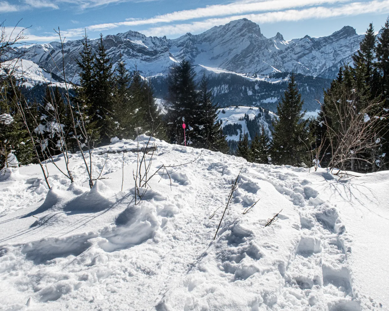
          A fantastic snowshoe trail starting in Bouquetins, accessible from Villars via cogwheel railway. Along the way: many stretches of forest, the Maison de Montagne de Bretaye founded by General Guisan, and a unique backdrop with Mont Blanc and the Vaud Alps.

          dist5 km
          |
          asce120 m
          |
          desc540 m
          |
          dura2h 20m

            Tour published by:

            SwitzerlandMobility

            Learn more on
            schweizmobil.ch


            How to get to Parcours Les Bouquetins–Villars

            Fastest connection from Lausanne to Villars-sur-Ollon, Hôtels: 1h 7m
            IR90 (32m)
            Walk from to
            144 (26m)
            163 (1m)
            Search Connections & Buy Tickets on SBB
            8/10

            Parcours des Prés-d'Albeuve

            Minimum travel time: 1h 13m to Les Sciernes

            From the starting point at Les Sciernes d’Albeuve as far as the Prés d’Albeuve, enjoy the spectacular view of the circle of peaks from the Dent de Lys to the tops of the Vanil. Savour the charm and tranquillity of the region, where you might discover one of the bridges covered with timber shingles so typical of Intyamon or, if you are lucky, a wild animal in search of some dried grass.

            dist7 km
            |
            asce400 m
            |
            desc400 m
            |
            dura3h 25m

              Tour published by:

              SwitzerlandMobility

              Learn more on
              schweizmobil.ch


              How to get to Parcours des Prés-d'Albeuve

              Fastest connection from Lausanne to Les Sciernes: 1h 13m
              IR95 (22m)
              30 (44m)
              Search Connections & Buy Tickets on SBB
              9/10

              Parcours de l’Archette

              Minimum travel time: 1h 14m to St-Cergue

              The Archette snowshoe trail is a circular route starting at the village of St-Cergue, taking you through snowy forests, with fantastic views of the Alps and Lake Geneva.

              dist5 km
              |
              asce200 m
              |
              desc150 m
              |
              dura2h 0m

                Tour published by:

                SwitzerlandMobility

                Learn more on
                schweizmobil.ch


                How to get to Parcours de l’Archette

                Fastest connection from Lausanne to St-Cergue: 1h 14m
                IR95 (33m)
                R55 (34m)
                Search Connections & Buy Tickets on SBB
                10/10

                Parcours de Taveyanne

                Minimum travel time: 1h 16m to La Clairière

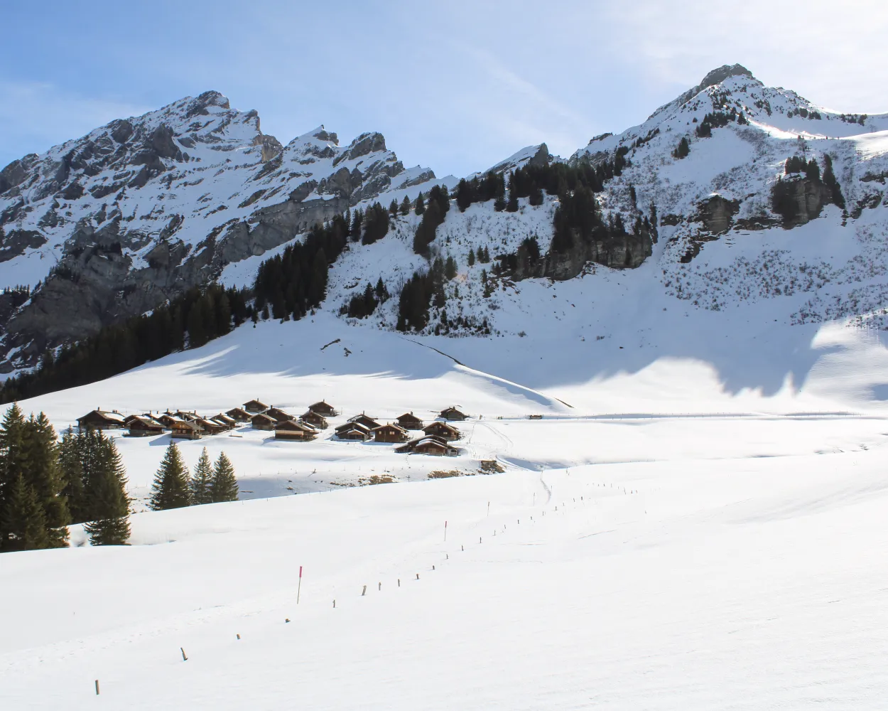
                This snowshoe hike takes you from the Alpe des Chaux at the foot of the flattening Diablerets mountain range past the charming hamlet of Taveyanne with its wooden shingle roofs. Following the course of the Gryonne river, you pass some sleepy alpine huts and cross quiet streams winding their way under the snow.

                dist10 km
                |
                asce190 m
                |
                desc420 m
                |
                dura3h 50m

                  Tour published by:

                  SwitzerlandMobility

                  Learn more on
                  schweizmobil.ch


                  How to get to Parcours de Taveyanne

                  Fastest connection from Lausanne to La Clairière: 1h 16m
                  IR95 (33m)
                  Walk from to
                  144 (33m)
                  Walk from to
                  R74 (5m)
                  Search Connections & Buy Tickets on SBB