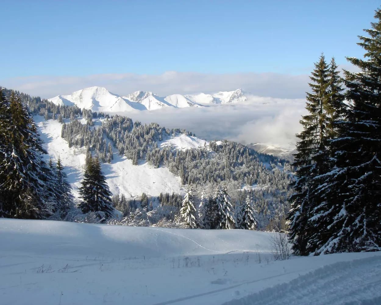
Discover a winter wonderland on these snowshoe hikes, all easily reachable from Saanen by public transport. Snow-covered forests, wide alpine plateaus, and scenic routes offer memorable experiences in the heart of the Alps.
To make planning easier, the hikes below are sorted by travel time from Saanen. Explore the map to find all snowshoe hikes and thousands of other outdoor activities accessible from anywhere in Switzerland.

Starting from Château-d’Oex, a family resort in the Vaud Alps, this all-ability trail runs along the Sarine across a suspension bridge and past an icefall, returning through spectacular snow-covered pastures to the site of the International Air Balloon Festival.
 6 km
 160 m
 160 m
 2h 25m
Tour published by:
SwitzerlandMobility
Learn more on
schweizmobil.ch
and on
myswitzerland.com
| 30 (13m) | |

When the Monts-Chevreuils ski area closed, the runs became fantastic winter trails. The Monts-Chevreuils hut at the top welcomes snowshoers for a well-deserved rest.
6 km760 m760 m5h 0mTour published by:
SwitzerlandMobility
Learn more on
schweizmobil.ch
and on
myswitzerland.com
| 30 (19m) | |
| 175 (7m) | |
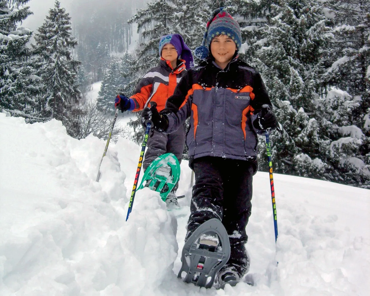
From the starting point at Les Sciernes d’Albeuve as far as the Prés d’Albeuve, enjoy the spectacular view of the circle of peaks from the Dent de Lys to the tops of the Vanil. Savour the charm and tranquillity of the region, where you might discover one of the bridges covered with timber shingles so typical of Intyamon or, if you are lucky, a wild animal in search of some dried grass.
7 km400 m400 m3h 25mTour published by:
SwitzerlandMobility
Learn more on
schweizmobil.ch
and on
myswitzerland.com

Between the Col du Pillon and the delightful little Lake Retaud, this snowshoe trail takes you to the Chalet du Rard and then to Lake Retaud, in a tranquil natural setting with impressive views of the legendary peaks of the Les Diablerets mountains.
5 km180 m180 m2h 5mTour published by:
SwitzerlandMobility
Learn more on
schweizmobil.ch
and on
myswitzerland.com
| 180 (39m) | |

This trail links the village of La Lécherette to the Monts-Chevreuils hut, a spectacular route with stunning views of Lake Hongrin and the Pays-d’Enhaut valley.
9 km480 m480 m4h 25m Landscape: Onto a mountain peak, With panoramic views
Tour published by:
SwitzerlandMobility
Learn more on
schweizmobil.ch
and on
myswitzerland.com
| 30 (19m) | |
| 175 (26m) | |
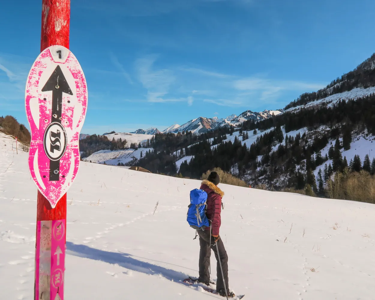
Running either side of the railway, with views over the hamlet of Allières and the mountain pastures of Le Revers, this is a pleasant route in the pure air.
3 km160 m160 m1h 35mTour published by:
SwitzerlandMobility
Learn more on
schweizmobil.ch
and on
myswitzerland.com
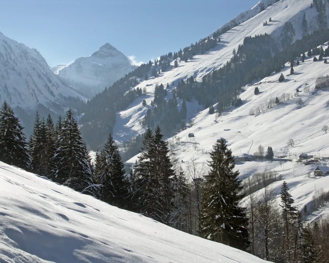
Winding through the upper reaches and along the right and left bank of the Hongrin as well as a protected natural area, the path offers a breathtaking view of the Cases valley and the jagged summits of the Cape aux Moines and the Vanil des Artses.
7 km280 m280 m3h 0mLandscape: Along the water, Onto a mountain peak, With panoramic viewsTour published by:
SwitzerlandMobility
Learn more on
schweizmobil.ch
and on
myswitzerland.com

This trail takes you on a journey through an enchanted forest and stunning scenery in the woods of Pra-Cornet. Don’t be surprised if you meet one or two elves or other sculptures along the way. The final highlight is the Pra-Cornet plateau offering stunning views of the surrounding peaks.
9 km440 m440 m4h 0mTour published by:
SwitzerlandMobility
Learn more on
schweizmobil.ch
and on
myswitzerland.com
| 30 (19m) | |
| 175 (30m) | |
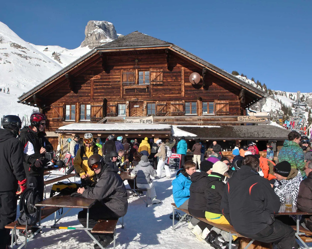
After the start at La Comballaz, the route winds uphill through the lovely forest to Oudiou. Once at the top, the pleasant snowshoe round tour rewards the hikers with magnificent long-distance views towards the Mont Blanc and across to the nearby Ormonts valley.
6 km380 m380 m3h 0mLandscape: Onto a mountain peak, With panoramic viewsTour published by:
SwitzerlandMobility
Learn more on
schweizmobil.ch
and on
myswitzerland.com
| 30 (19m) | |
| 175 (32m) | |

Lenkersee, Iffigbach and, as climax, the Iffigfall – water is the trump card on this snowshoe hike. From Lenk, the trail goes in the direction of the frozen natural phenomenon under the eyes of the mighty Wildstrubel.
11 km360 m360 m4h 45mTour published by:
SwitzerlandMobility
Learn more on
schweizmobil.ch
and on
myswitzerland.com
| 30 (39m) | |
| R31 (19m) | |
| 283 (1m) | |
Much more on ovunta.com/en/map


