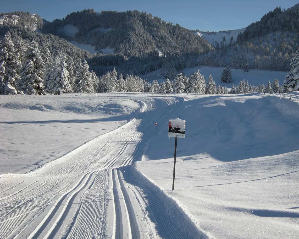
Whether skating or classic: these ten cross-country skiing destinations are all reachable from Lausanne by public transport. From romantic forest tracks to scenic high-altitude loops, there’s something for every level of Nordic skier.
The destinations below are sorted by travel time from Lausanne to make your planning easier. Make sure to visit the map to explore all cross-country skiing areas and thousands of other outdoor activities reachable from any starting point in Switzerland.
Winding through the forested hills of the Jorat plateau north of Lausanne, this area offers a respectable network of trails amid a peaceful woodland setting at moderate elevation.
 12.7 km
Learn more on
cn-froideville.ch
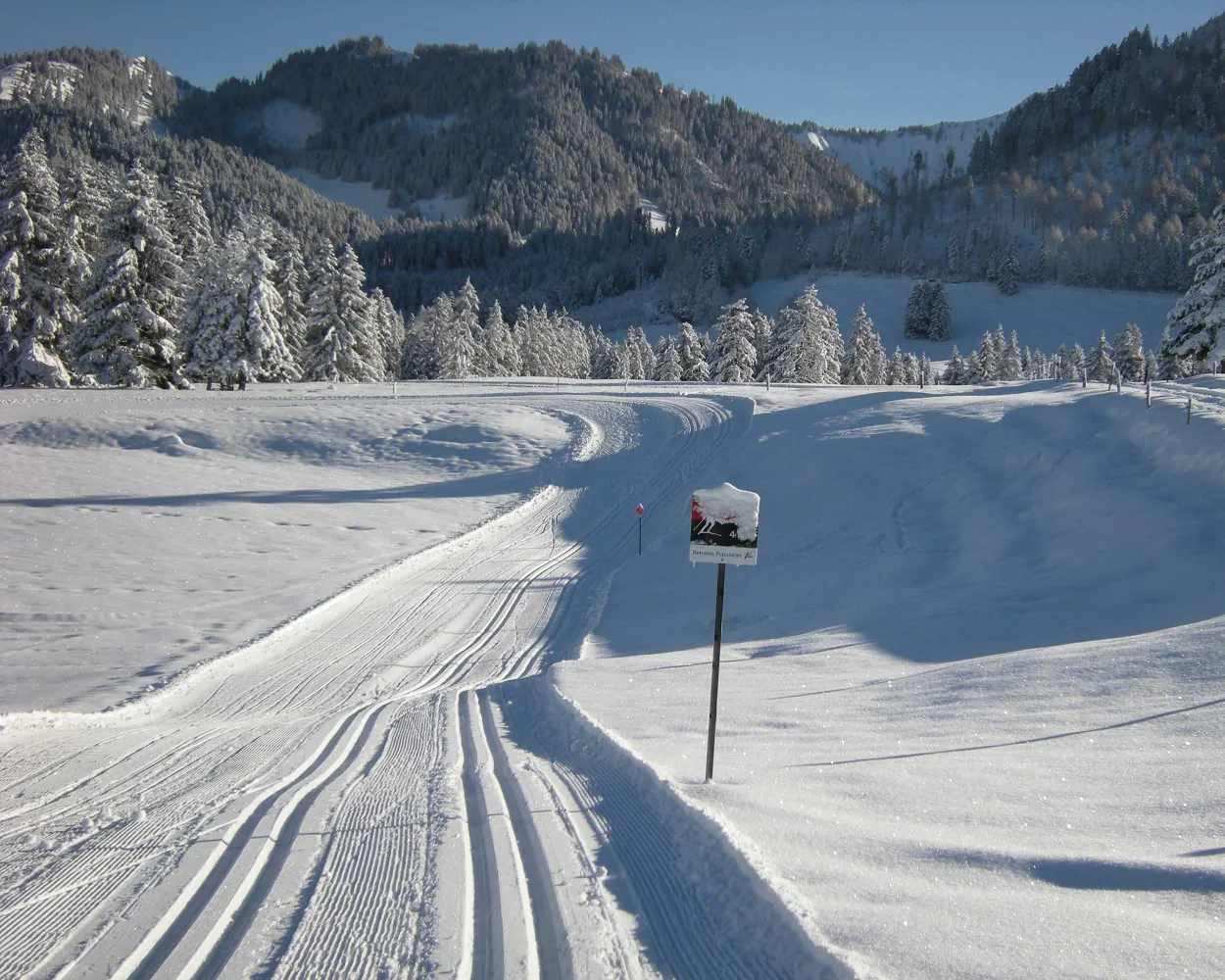
This trail is located on the closest peak to Vevey, Les Pléiades, which although not very high offers stunning views of Lake Geneva and the nearby Alps. Alternating flat sections with moderate descents and climbs through beautiful scenery.
11.6 kmTour published by:
SwitzerlandMobility
Learn more on
snow.myswitzerland.com
and on
schweizmobil.ch
At the foot of the legendary family resort of Leysin, the cross-country ski trail in the lower part of the village is an ideal chance to exercise, enjoy the sunshine and relax and recharge in a stunning setting surrounded by spectacular mountain peaks.
6.9 kmTour published by:
SwitzerlandMobility
Learn more on
snow.myswitzerland.com
and on
schweizmobil.ch
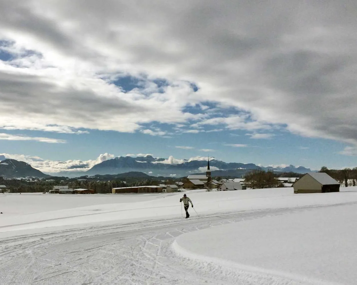
A circular route for a quiet and peaceful walk through the countryside above the village of Le Crêt, with a magnificent view over the Alps and Pre-Alps.
8.2 kmTour published by:
SwitzerlandMobility
Learn more on
schweizmobil.ch
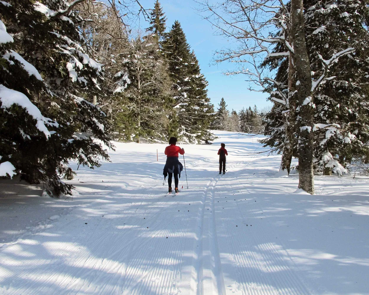
Switzerland's premier cross-country destination spans a broad high valley in the Vaud Jura, renowned for watchmaking and winter sports alike. The frozen lake and surrounding forests form one of the country's most expansive Nordic domains, drawing enthusiasts from across Europe.
161.8 kmLearn more on
snow.myswitzerland.com
and on
schweizmobil.ch
Les Paccots: never has the mountain been closer! The topography of the location is ideal, with its gently undulating pastures. With four kilometres of runs through the pastures, the run is surrounded by the summits of the Dent de Lys and the Teysachaux.
3.6 kmTour published by:
SwitzerlandMobility
Learn more on
snow.myswitzerland.com
and on
schweizmobil.ch
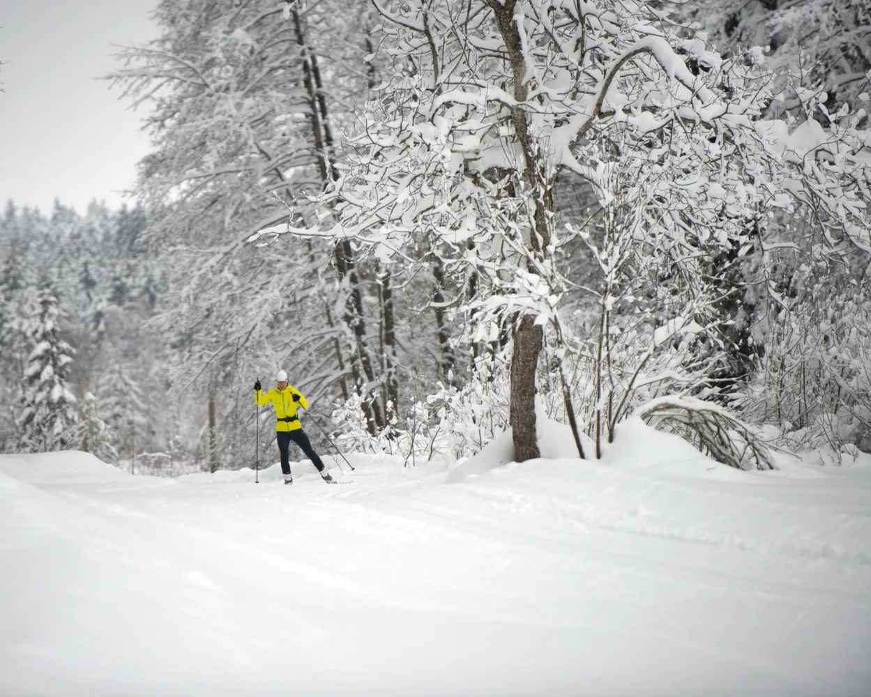
Cross-country skiing routes in a variety of landscapes, from forest to peat bog and pasture. Just like being in Lapland or the pastures of the Jura, with the added bonus of the magnificent views over the Pre-Alps.
22.4 kmTour published by:
SwitzerlandMobility
Learn more on
snow.myswitzerland.com
and on
schweizmobil.ch
Perched in the Jura mountains above Lake Geneva, this resort offers sweeping views across to the Alps. The forested trails wind through typical Jura landscape, combining gentle rolling terrain with more challenging sections through spruce woodlands.
17.4 kmLearn more on
stgeorge.ch
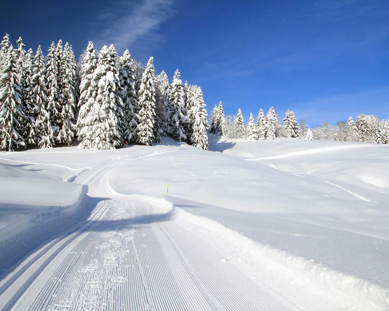
A well-established Nordic centre in the Vaud Jura overlooking Lake Geneva, this resort features an extensive trail system through dense forests and open ridgelines. The elevated position ensures reliable snow conditions throughout the winter season.
33.2 kmLearn more on
snow.myswitzerland.com
and on
schweizmobil.ch
Cross-country skiers in the valley frequently say that, if there is a stiff breeze, you simply need to open your arms to be propelled along to Ponts-de-Martel. Although this image raises a smile, it’s true; the route is far more enjoyable when crossed from East to West.
59.1 kmTour published by:
SwitzerlandMobility
Learn more on
snow.myswitzerland.com
and on
schweizmobil.ch
Much more on ovunta.com/en/map



