Discover a diverse range of hiking trails accessible by public transport from Estavayer-le-Lac. From the rolling hills of the Fribourg Pre-Alps to the rugged Jura mountains, these routes offer something for every hiker. Explore medieval towns, serene lakes, and impressive natural wonders like the Creux du Van cirque.
The following hikes are listed in order of travel time from Estavayer-le-Lac, making it easy to plan your next adventure. Check out the map to explore thousands of destinations and activities, reachable from any starting point in Switzerland.
Much more on ovunta.com/en/map
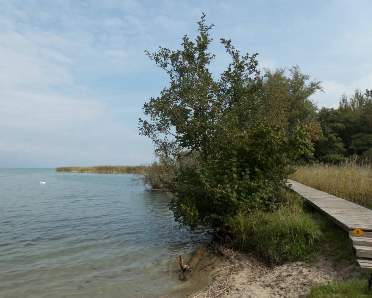
An excursion into the La Grande Cariçaie nature reserve offers a particularly special experience. One of the routes starts in Yvonand and leads along the southeast shore of Lac de Neuchâtel as far as Estavayer-le-Lac. A divine route through marshlands and lakeside woodlands.
 11 km
11 km 40 m
40 m 40 m
40 m 2h 35m
Barrier free: Yes

Landscape: Along the water
Tour published by:
SwitzerlandMobility
Learn more on
schweizmobil.ch
«Water is life», a simple law of nature particularly valid for «Three Lake Country». The «Chemin des Trois-Lacs» trail leads along natural shorelines, through reed beds and into nature reserves which give information on sensitive topics.
61 km760 m740 mLandscape: Along the water
Tour published by:
SwitzerlandMobility
Learn more on
schweizmobil.ch
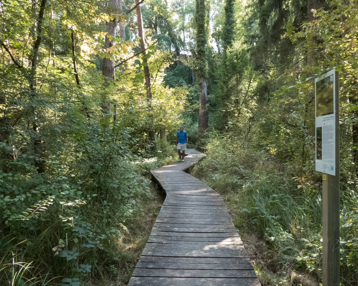
You will be surprised by the menhirs in Yverdon-Clendy, then immediately afterwards, you encounter the “Champ-Pittet” Pro Natura centre. You can immerse yourself in the reed landscape on the wooden walkways of the Grande Cariçaie, then climb up high to the observation tower to spot a variety of aquatic animals.
22 km240 m240 m5h 35mLandscape: With panoramic views,Along the water
Tour published by:
SwitzerlandMobility
Learn more on
schweizmobil.ch
| Estavayer-le-Lac (08:40) | |
| S30 (4m) | |
| Cheyres (08:44) |
In Estavayer-le-Lac, it is worth taking a stroll through the picturesque old town with its cobbled streets and imposing castle. Children will have fun on the fine sandy beach, and on the secluded hike along the shore of the lake, spotting the many aquatic animals in the reed beds.
12 km80 m80 m3h 0mLandscape: Along the water
Tour published by:
SwitzerlandMobility
Learn more on
schweizmobil.ch
| Estavayer-le-Lac, gare rout. (08:44) | |
| 501 (2m) | |
| Estavayer-le-Lac, hôpital (08:46) |
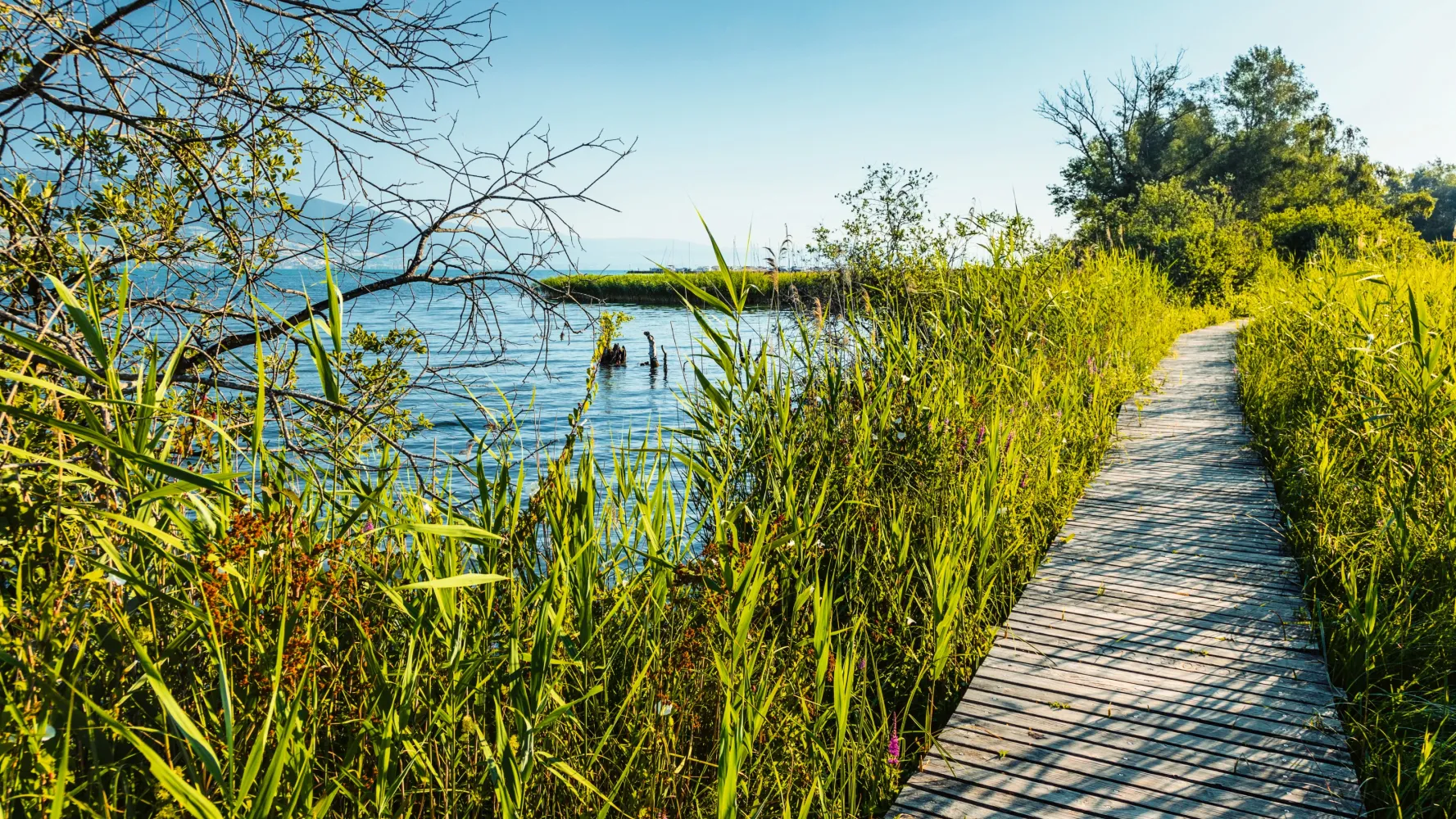
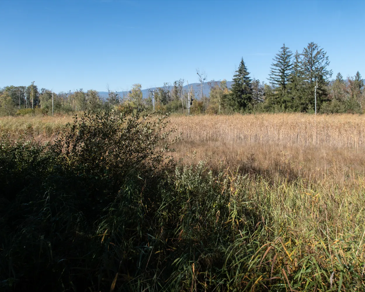
Nature and humans live together harmoniously in the Grande Cariçaie on the southern shore of Lake Neuchâtel. The nature reserve, Switzerland's largest lakeside wetland, is home to 800 plant species and over 10,000 animal species, who shape the banks under the friendly gaze of passing hikers.
13 km240 m240 m3h 25mLandscape: Along the water
Tour published by:
SwitzerlandMobility
Learn more on
schweizmobil.ch
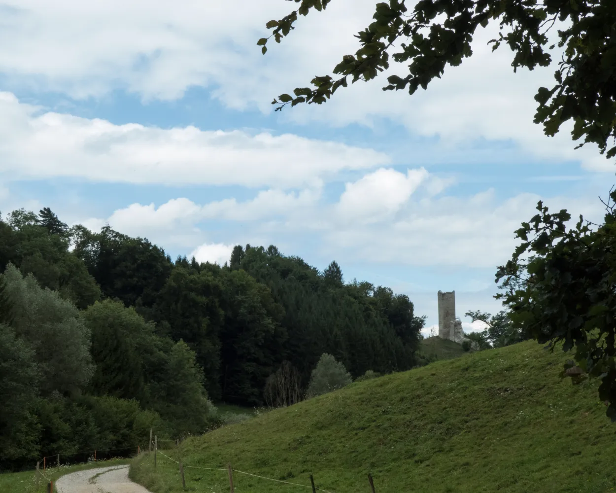
Circular hike from Yvonand through the Vallon des Vaux nature reserve. The trail through the canyon with its imposing cliffs is very scenic. Other sights on the way include the tower of St-Martin, with magnificent views of the Jura, followed by the church of Chêne-Paquier.
13 km360 m360 m3h 35mLandscape: With panoramic views
Tour published by:
SwitzerlandMobility
Learn more on
schweizmobil.ch
| Estavayer-le-Lac (08:40) | |
| S30 (8m) | |
| Yvonand (08:48) |
The ViaJacobi leads from the Bodensee to Genève as part of the European Jakobsweg (Route of St. James). Lined by churches, monasteries and chapels, it offers a fabulous hiking experience along historic paths through a diverse cultural landscape.
450 km11900 m11800 mLandscape: With panoramic views
Tour published by:
SwitzerlandMobility
Learn more on
schweizmobil.ch
If you are in the mood for hiking upstream, this is the perfect walk for you. This route follows the river Broye upstream, but with almost no changes in elevation whatsoever. Henniez is known for its mineral water, while the huge fortress complex in Lucens is an impressive sight. In the middle ages, its purpose was to maintain strategic control of the valley jointly with Moudon.
17 km100 m30 m4h 0mLandscape: Along the water
Tour published by:
SwitzerlandMobility
Learn more on
schweizmobil.ch
| Estavayer-le-Lac (08:49) | |
| S30 (10m) | |
| Payerne (08:59) |
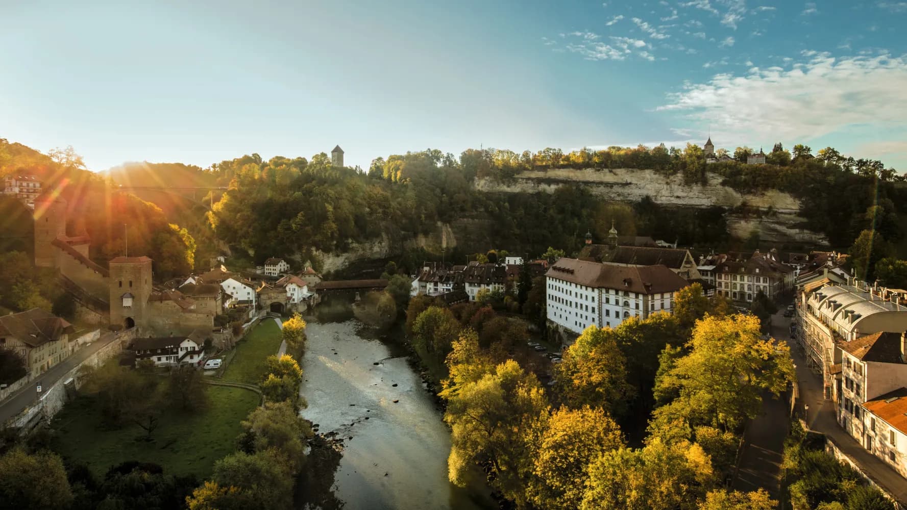
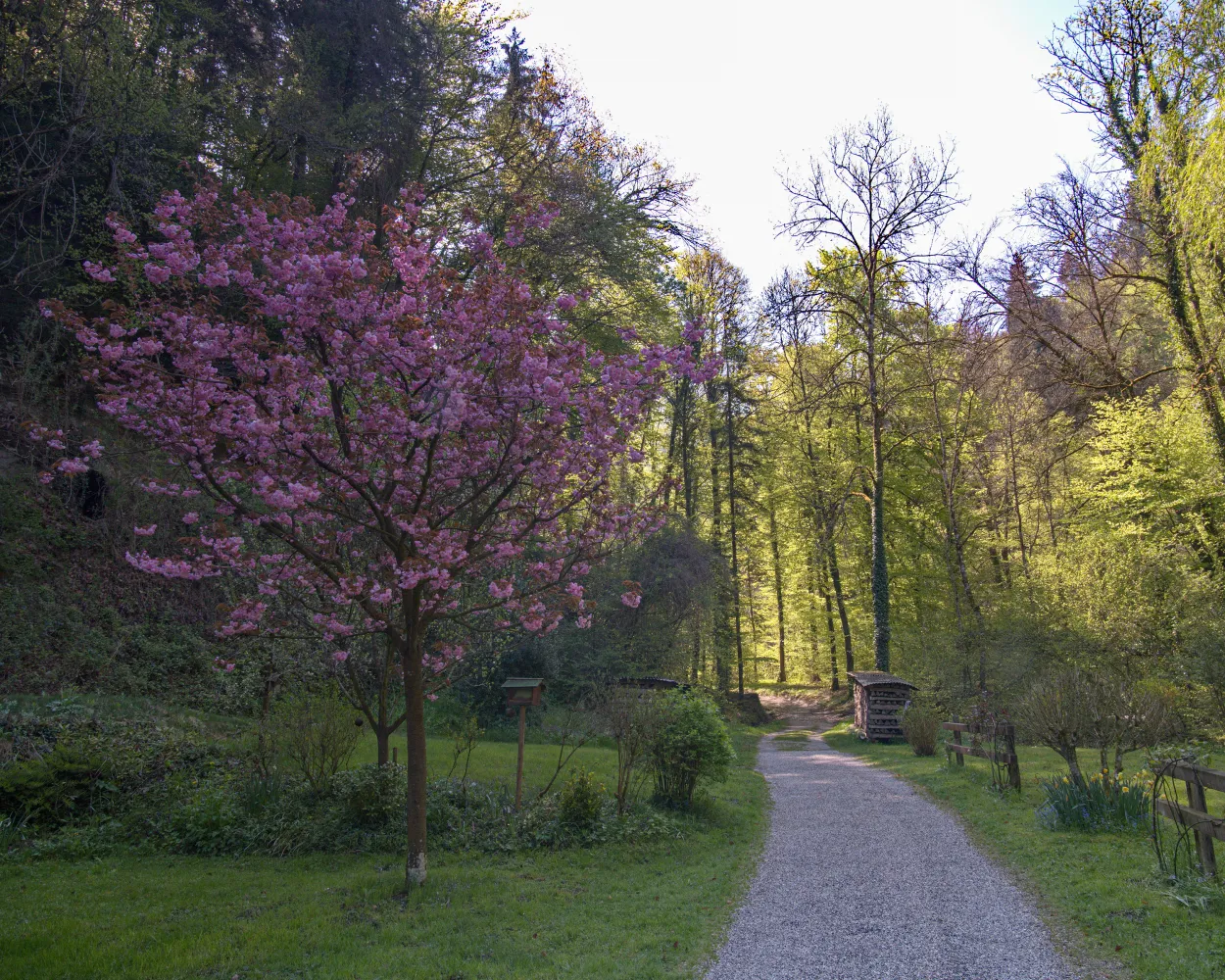
On this leg of the journey, you can recharge your batteries in the tranquillity of nature. The route connects Fribourg, founded by the House of Zähringen, with Payerne, a town created by Queen Bertha. Along the way, you will enjoy enchanting woodland, an idyllic spot to rest by the river, rural villages and a mini-enclave with a church of pilgrimage.
20 km280 m560 m5h 0mTour published by:
SwitzerlandMobility
Learn more on
schweizmobil.ch
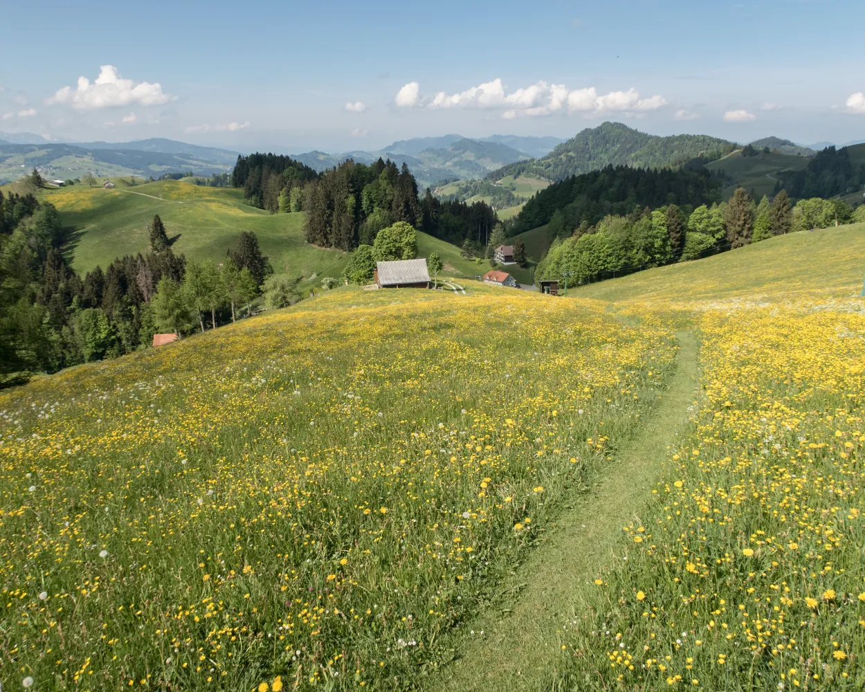
From the Pays de Gruyère to the Three Lakes Region and through the canton's principle tourist resorts of Gruyères, Fribourg and Murten. Discover typical Swiss landscapes: Alpine foothills and the agricultural, rolling hills of the Mittelland.
68 km1650 m1950 mLandscape: With panoramic views
Tour published by:
SwitzerlandMobility
Learn more on
schweizmobil.ch
| Estavayer-le-Lac (08:49) | |
| S30 (39m) | |
| Fribourg/Freiburg (09:28) |


