Discover a diverse range of hiking trails easily accessible from Murten by public transport. From the rolling hills of the Fribourg Pre-Alps to the panoramic views of the Jura Mountains, these routes offer something for every nature enthusiast. Explore medieval towns, cross impressive suspension bridges, and immerse yourself in the beauty of Swiss landscapes, including the Gantrisch Nature Park and the shores of Lake Thun.
The following hikes are sorted by travel time from Murten, allowing you to plan your adventure based on your schedule and preferences. Check out the map to explore thousands of destinations and activities, reachable from any starting point in Switzerland.
Much more on ovunta.com/en/map
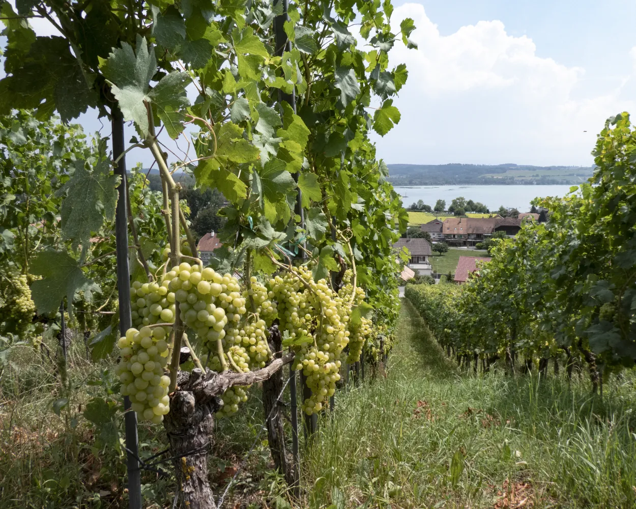
The small medieval town of Murten, with its lake shore directly before the town walls, offers an especially scenic route around the Murtensee lake. The appealing lakeside promenade, vineyards and the historic old town is a must for romanticists!
 11 km
11 km 180 m
180 m 200 m
200 m 2h 50m
Barrier free: Yes

Landscape: Along the water
Tour published by:
SwitzerlandMobility
Learn more on
schweizmobil.ch
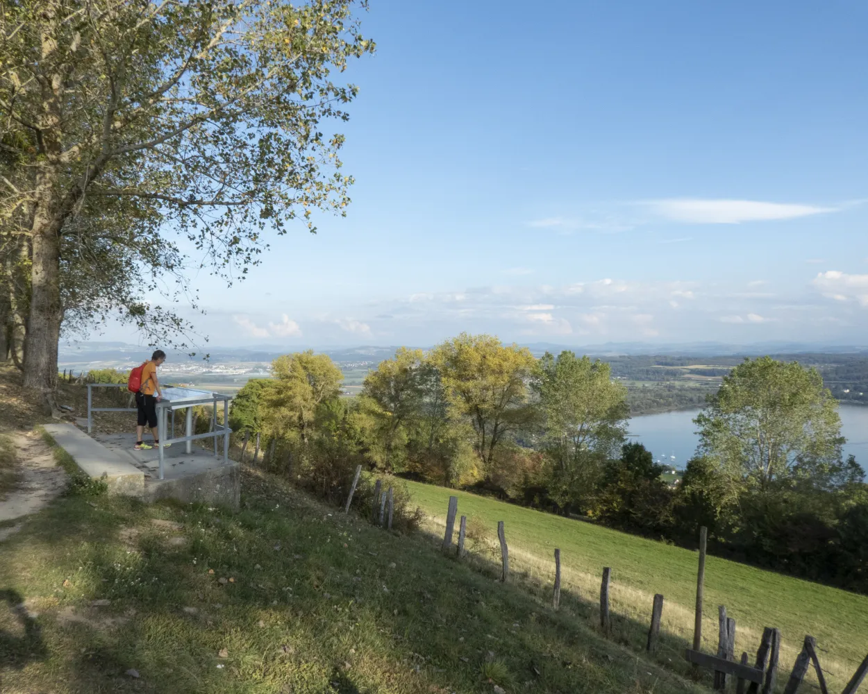
The Lac de Neuchâtel is crossed by boat. Imposing Mont Vully is visible from afar. Short but steep climb. Wonderful panorama. Through the fertile shoreline forest of Le Chablais to the medieval town of Murten.
19 km320 m320 m4h 50mLandscape: Along the water
Tour published by:
SwitzerlandMobility
Learn more on
schweizmobil.ch
The long-distance Trans Swiss Trail from Porrentruy to Mendrisio is one of the last great adventures in highly-developed Switzerland. A variety of landscapes, cultures and places of interest await along the 32 stages of the 488-km trail.
510 km17800 m17900 mLandscape: Over a pass,With panoramic views
Tour published by:
SwitzerlandMobility
Learn more on
schweizmobil.ch
«Water is life», a simple law of nature particularly valid for «Three Lake Country». The «Chemin des Trois-Lacs» trail leads along natural shorelines, through reed beds and into nature reserves which give information on sensitive topics.
61 km760 m740 mLandscape: Along the water
Tour published by:
SwitzerlandMobility
Learn more on
schweizmobil.ch
In the “La Sauge” BirdLife nature centre, you find out interesting facts about flora and fauna in sensitive shore zones. By boat through the Broye Canal or climb to Mont Vully with a view over the Three Lakes Region. Murten’s medieval old town with its curtain walls and towers.
26 km440 m440 m6h 45mLandscape: Along the water,With panoramic views
Tour published by:
SwitzerlandMobility
Learn more on
schweizmobil.ch
| Murten/Morat (08:44) | |
| S52 (2m) | |
| Muntelier-Löwenberg (08:46) |
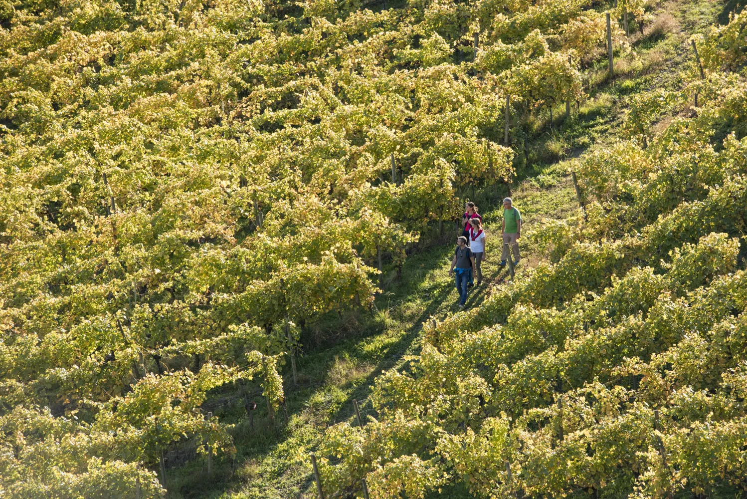
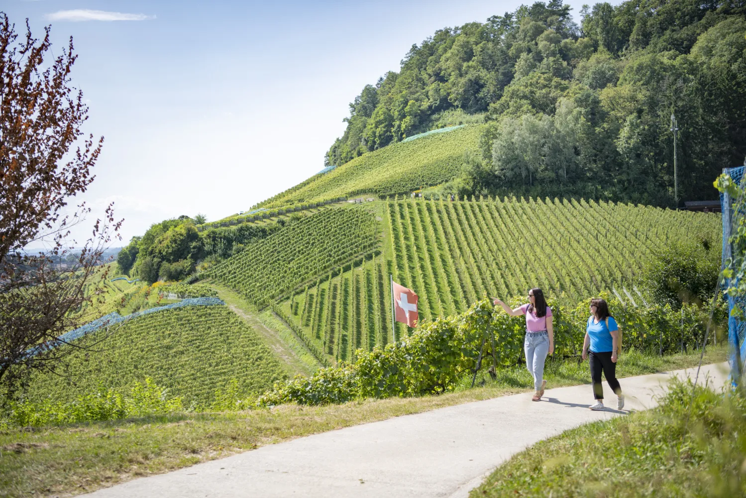
History, vineyards, fine food: Vully has plenty of attractions. Its historical trail takes visitors on a journey to the very earliest days of French-speaking Switzerland, with superb panoramic views over the Three-Lakes Region, the Jura and the Alps as they walk through the smallest of Switzerland’s wine-growing estates.
12 km440 m440 m3h 30mLandscape: Onto a mountain peak,Through a vineyard
Tour published by:
SwitzerlandMobility
Learn more on
schweizmobil.ch
| Murten/Morat (08:48) | |
| S21 (6m) | |
| Sugiez (08:54) |
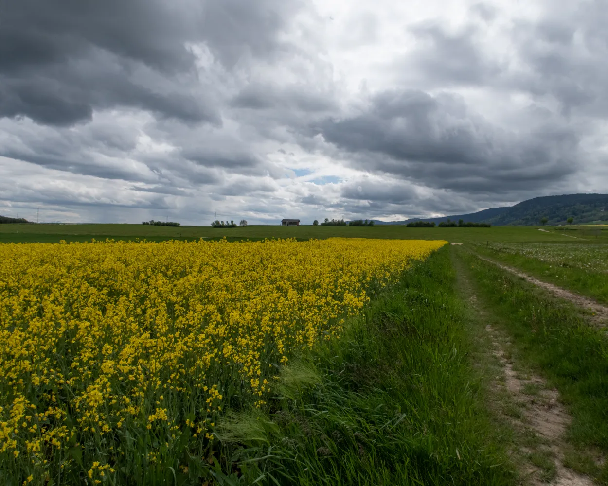
From the Pays de Gruyère to the Three Lakes Region and through the canton's principle tourist resorts of Gruyères, Fribourg and Murten. Discover typical Swiss landscapes: Alpine foothills and the agricultural, rolling hills of the Mittelland.
68 km1650 m1950 mLandscape: With panoramic views
Tour published by:
SwitzerlandMobility
Learn more on
schweizmobil.ch

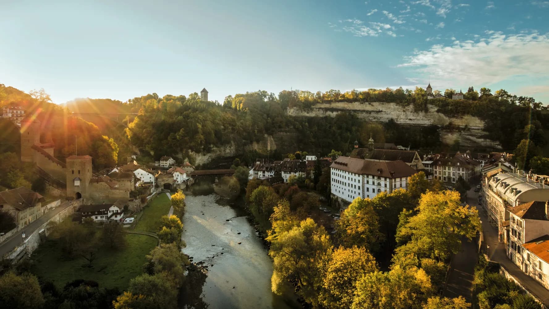
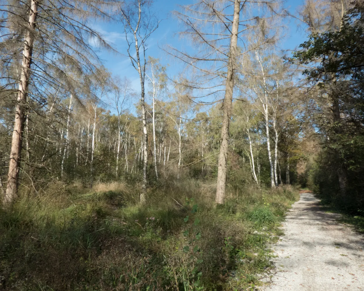
Start in beautifully-conserved, historic Fribourg; off the major traffic routes, through peaceful cultured landscape to the lake shore. Sightseeing attractions along the way: Greng (18th century castle) and a little further on, the obelisk commemorating the Battle of Murten.
23 km420 m580 m5h 45mLandscape: Along the water
Tour published by:
SwitzerlandMobility
Learn more on
schweizmobil.ch
| Murten/Morat, Bahnhof (08:50) | |
| 547 (7m) | |
| Greng, Schlossallee (08:57) |
Val de Ruz is proving ideal hiking country. Striking, the numerous village fountains and massive church towers. Engollon has the only murals in Canton Neuchâtel which date back to before the Reformation. Descent to Neuchâtel, with superb views.
12 km200 m560 m3h 10mLandscape: With panoramic views
Tour published by:
SwitzerlandMobility
Learn more on
schweizmobil.ch
| Murten/Morat (08:48) | |
| S21 (25m) | |
| Neuchâtel (09:13) |
Woodland and meadows will be your guide on the way to the summit of Le Gibloux. The viewing platform offers a 360-degree panorama. Between Posat and the river Glâne, the route follows the Way of St. James through cultural and pastoral landscapes. After that, the rock faces along the river Saane are also striking. This long leg can easily be shortened if need be.
35 km1000 m1150 m9h 25mLandscape: Onto an alp,With panoramic views
Tour published by:
SwitzerlandMobility
Learn more on
schweizmobil.ch
| Murten/Morat (08:40) | |
| S20 (33m) | |
| Fribourg/Freiburg (09:13) |


