Discover a winter wonderland on these snowshoe hikes, all easily reachable from Murten by public transport. Snow-covered forests, wide alpine plateaus, and scenic routes offer memorable experiences in the heart of the Alps.
To make planning easier, the hikes below are sorted by travel time from Murten. Explore the map to find all snowshoe hikes and thousands of other outdoor activities accessible from anywhere in Switzerland.
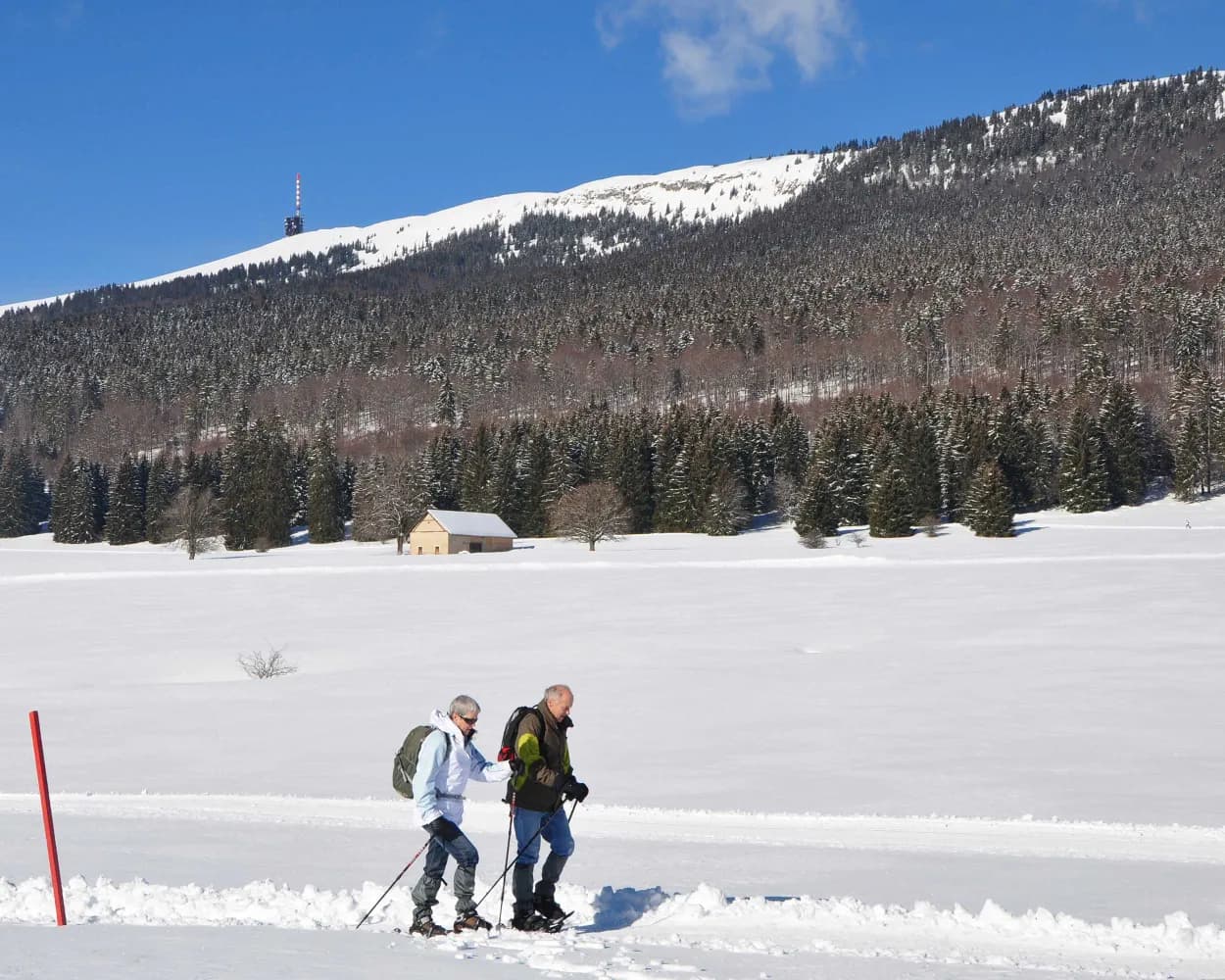
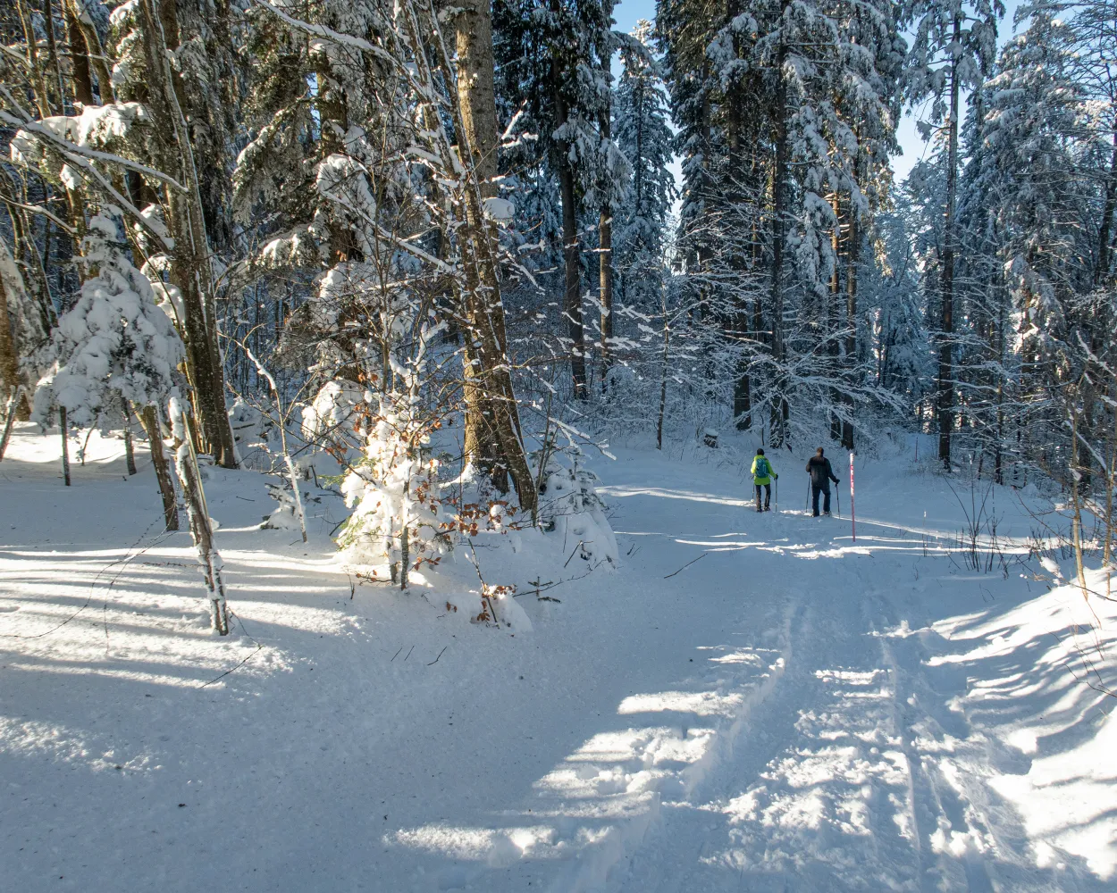
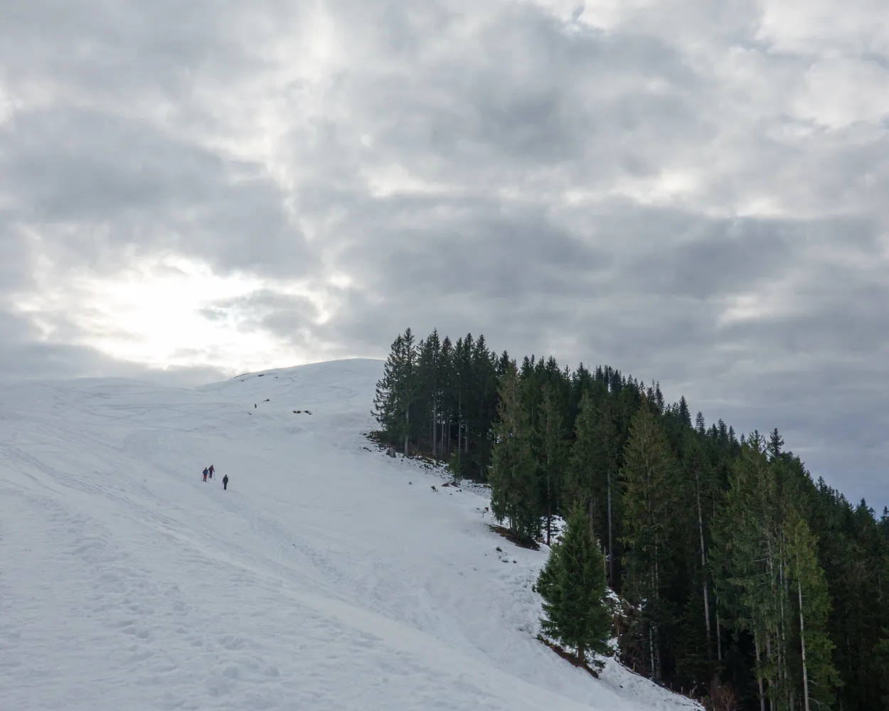
This varied snowshoe tour starts in Trub in the Emmental valley. It leads through snow-covered forests and pastures in the hilly terrain of the Napf region. The winter scenery and the far-reaching views over the Emmental hilltops make for an unforgettable experience.
 8 km
8 km 420 m
420 m 420 m
420 m 4h 0m
4h 0m
Landscape: With panoramic views,Onto a mountain peak
Tour published by:
SwitzerlandMobility
Learn more on
schweizmobil.ch
| Murten/Morat (08:44) | |
| S52 (42m) | |
| Bern (09:26) |
| Bern (09:36) | |
| RE7 (36m) | |
| Trubschachen (10:12) |
| Trubschachen, Bahnhof (10:16) | |
| 284 (7m) | |
| Trub, Ried (10:23) |
The Schwyberg trail makes for a wonderfully decelerating experience. Peace and nature have returned to what was once a bustling ski resort. Once you have climbed the Schwyberg, a breathtaking view from the alps to the Jura rewards the hikers.
9 km660 m660 m5h 0mTour published by:
SwitzerlandMobility
Learn more on
schweizmobil.ch
| Murten/Morat (08:40) | |
| S20 (33m) | |
| Fribourg/Freiburg (09:13) |
| Fribourg/Freiburg, gare rout. (09:33) | |
| 123 (50m) | |
| Schwarzsee, Gypsera (10:23) |
This enjoyable snowshoe hike along the Mont-Croisin and Mont-Soleil crests will take you between the wind turbines and the solar-power plant, always in sight of the impressive Chasseral massif which dominates the Saint-Imier valley.
8 km200 m240 m3h 10mTour published by:
SwitzerlandMobility
Learn more on
schweizmobil.ch
| Murten/Morat (08:48) | |
| S21 (25m) | |
| Neuchâtel (09:13) |
| Neuchâtel (09:22) | |
| IC5 (20m) | |
| Biel/Bienne (09:42) |
| Biel/Bienne (09:47) | |
| RE4 (25m) | |
| St-Imier (10:12) |
| St-Imier (funiculaire) (10:35) | |
| 2020 (4m) | |
| Mont-Soleil (funiculaire) (10:39) |
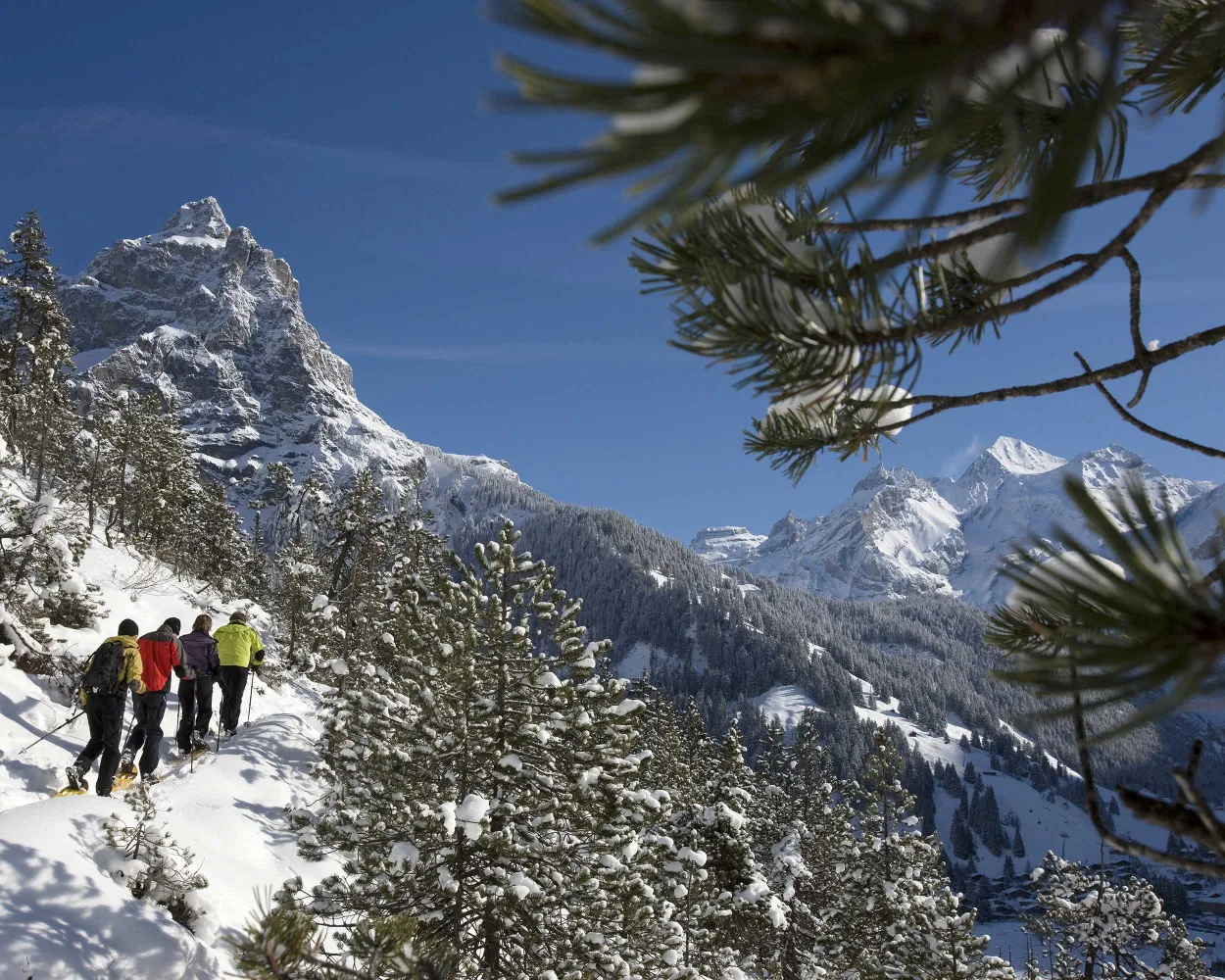
Although it is in the Pre-Alps, walking the snowshoe trail in the Riggisalp will feel as though you are in the high mountains: the route is bordered by the Schwarzsee’s two impressive peaks, the Kaiseregg and the Spitzfluh.
4 km480 m40 m2h 20mTour published by:
SwitzerlandMobility
Learn more on
schweizmobil.ch
| Murten/Morat (08:40) | |
| S20 (33m) | |
| Fribourg/Freiburg (09:13) |
| Fribourg/Freiburg, gare rout. (09:33) | |
| 123 (50m) | |
| Schwarzsee, Gypsera (10:23) |
Ideal for hikers who want to get close to nature, this route takes you through meadows and forests via L’Auberson, a typical Jura village, and the plateau of Les Granges offering unique views of the Jura mountains.
9 km300 m300 m3h 35mTour published by:
SwitzerlandMobility
Learn more on
schweizmobil.ch
| Murten/Morat (08:48) | |
| S21 (25m) | |
| Neuchâtel (09:13) |
| Neuchâtel (09:41) | |
| R21 (44m) | |
| Buttes (10:25) |
| Buttes, gare (10:28) | |
| 392 (15m) | |
| La Vraconnaz, bif. nord (10:43) |
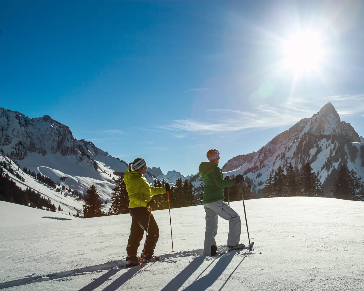
A great combination of easy but still very scenic snow shoe tour is waiting for you. After a the hike to the viewpoint on the top of «Höh», snow shoe hikers will be rewarded with the most beautiful panorama of Kandersteg and the mountain range of the UNESCO World heritage site.
2 km160 m160 m1h 15mTour published by:
SwitzerlandMobility
Learn more on
schweizmobil.ch
| Murten/Morat (08:44) | |
| S52 (42m) | |
| Bern (09:26) |
| Bern (09:34) | |
| IC6 (29m) | |
| Spiez (10:03) |
| Spiez (10:12) | |
| RE1 (28m) | |
| Kandersteg (10:40) |
High above Lake Thun, the trail leads through silent forests and open meadows on its way to Dünzenegg. Your companions are beautiful views of the lake, the Bernese Alps and the Central Plateau. With some traverses and steep, exposed sections, this trail is aimed at snowshoe hikers with some experience.
9 km440 m440 m4h 0mTour published by:
SwitzerlandMobility
Learn more on
schweizmobil.ch
| Murten/Morat (08:44) | |
| S52 (42m) | |
| Bern (09:26) |
| Bern (09:34) | |
| IC6 (19m) | |
| Thun (09:53) |
| Thun, Bahnhof (10:01) | |
| 25 (25m) | |
| Sigriswil, Dorf (10:26) |
| Sigriswil, Dorf (10:29) | |
| 24 (12m) | |
| Schwanden (Sigriswil), Säge (10:41) |
Snow crunching underfoot amidst a snowy winter landscape – the range of hills featuring the Napf on the right, a mountain backdrop with the Risetenstock, Schimbrig and Schafmatt on the left. And once you arrive at the First, a welcome Entlebuch-style coffee with schnapps. What more could you ask for?
7 km380 m380 m3h 15mTour published by:
SwitzerlandMobility
Learn more on
schweizmobil.ch
| Murten/Morat (08:44) | |
| S52 (42m) | |
| Bern (09:26) |
| Bern (09:36) | |
| RE7 (52m) | |
| Schüpfheim (10:28) |
| Schüpfheim, Bahnhof (10:33) | |
| 233 (9m) | |
| Hasle LU, Heiligkreuz Kirche (10:42) |
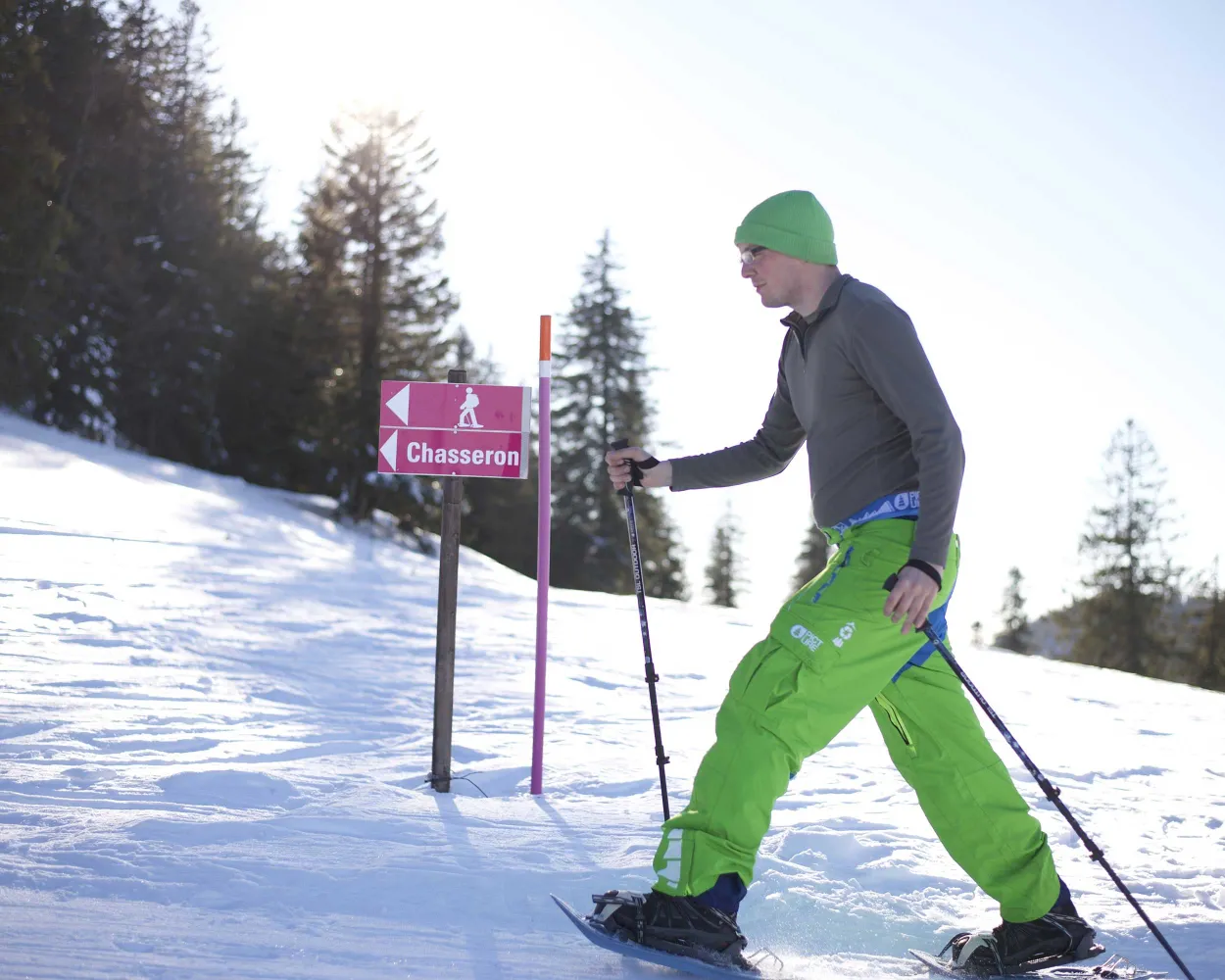
In winter, this is a wonderful route linking the Val-de-Travers and the 360° panoramic view from the summit of Le Chasseron. After an enjoyable climb through pine trees and pastures, once you reach the broad ridge you are rewarded by a breath-taking view from the Doubs to the Alps.
9 km440 m440 m4h 0mTour published by:
SwitzerlandMobility
Learn more on
schweizmobil.ch
| Murten/Morat (08:48) | |
| S21 (25m) | |
| Neuchâtel (09:13) |
| Neuchâtel (09:41) | |
| R21 (44m) | |
| Buttes (10:25) |
| Buttes (télésiège) (10:35) | |
| 2008 (13m) | |
| La Robella (télésiège) (10:48) |
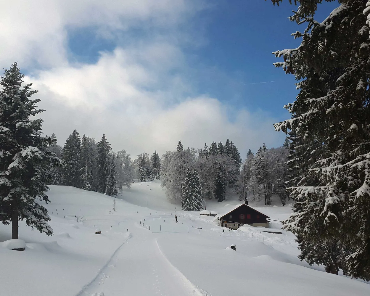
This hiking trail between Col des Etroits, L’Auberson and the Mont-des-Cerfs offers a chance to discover the natural beauty of the Vaud Jura landscape. History buffs might appreciate a detour to the Museum of Mechanical Art and Heritage in Sainte-Croix.
8 km280 m280 m3h 15mTour published by:
SwitzerlandMobility
Learn more on
schweizmobil.ch
| Murten/Morat (08:48) | |
| S21 (25m) | |
| Neuchâtel (09:13) |
| Neuchâtel (09:41) | |
| R21 (44m) | |
| Buttes (10:25) |
| Buttes, gare (10:28) | |
| 392 (20m) | |
| Ste-Croix, Col-des-Etroits (10:48) |
Much more on ovunta.com/en/map


