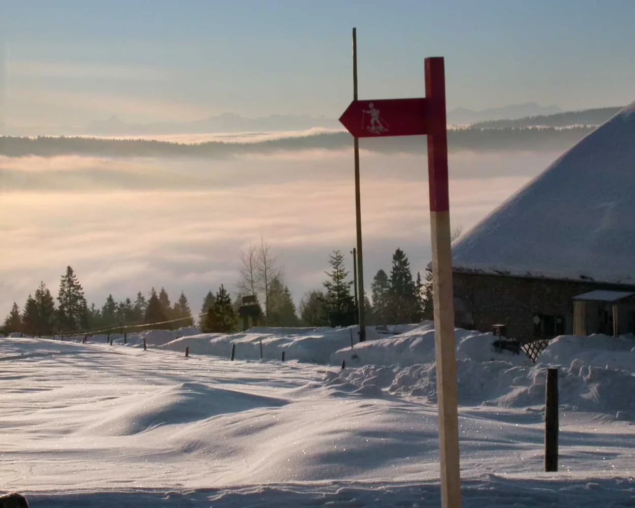
Discover a winter wonderland on these snowshoe hikes, all easily reachable from La Chaux-de-Fonds by public transport. Snow-covered forests, wide alpine plateaus, and scenic routes offer memorable experiences in the heart of the Alps.
To make planning easier, the hikes below are sorted by travel time from La Chaux-de-Fonds. Explore the map to find all snowshoe hikes and thousands of other outdoor activities accessible from anywhere in Switzerland.
Much more on ovunta.com/en/map
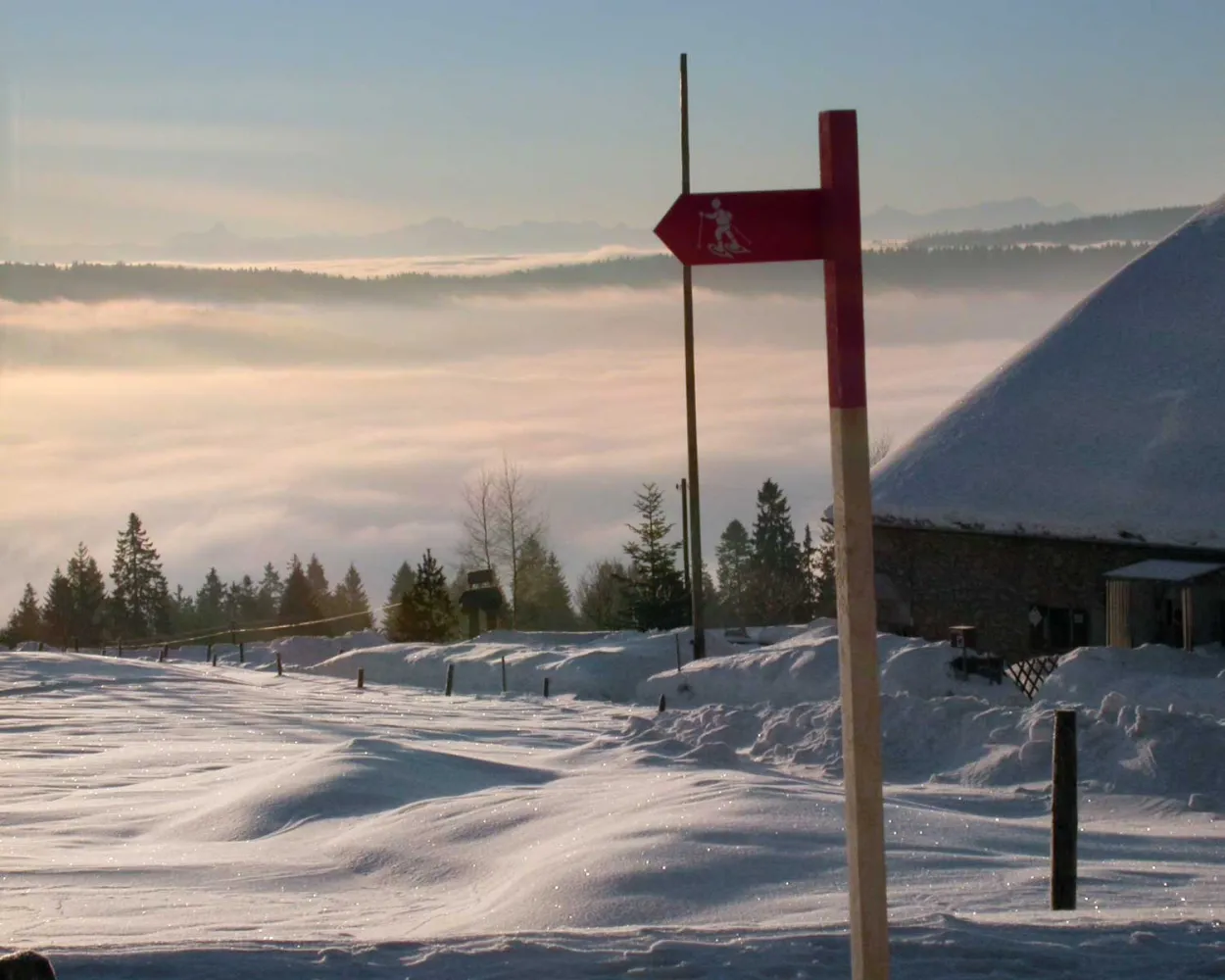
Part of the UNESCO world heritage for its town planning, the town of Locle was built around the know-how of watchmakers. The snowshoe trek from Locle to La Sagne marks the change from top-of-the range watchmaking to vast open prairies.
 8 km
8 km 360 m
360 m 360 m
360 m 3h 40m
Tour published by:
SwitzerlandMobility
Learn more on
schweizmobil.ch
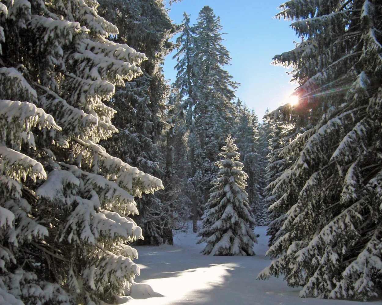
A magnificent path through the Franches-Montagnes between the villages of Le Noirmont and Les Bois. It’s a discovery of the region's marvellous nature. It is composed of pasturelands, pine tree forests and inviting and typically named hamlets, home to the former houses of artisan watchmakers.
9 km220 m160 m3h 35mTour published by:
SwitzerlandMobility
Learn more on
schweizmobil.ch
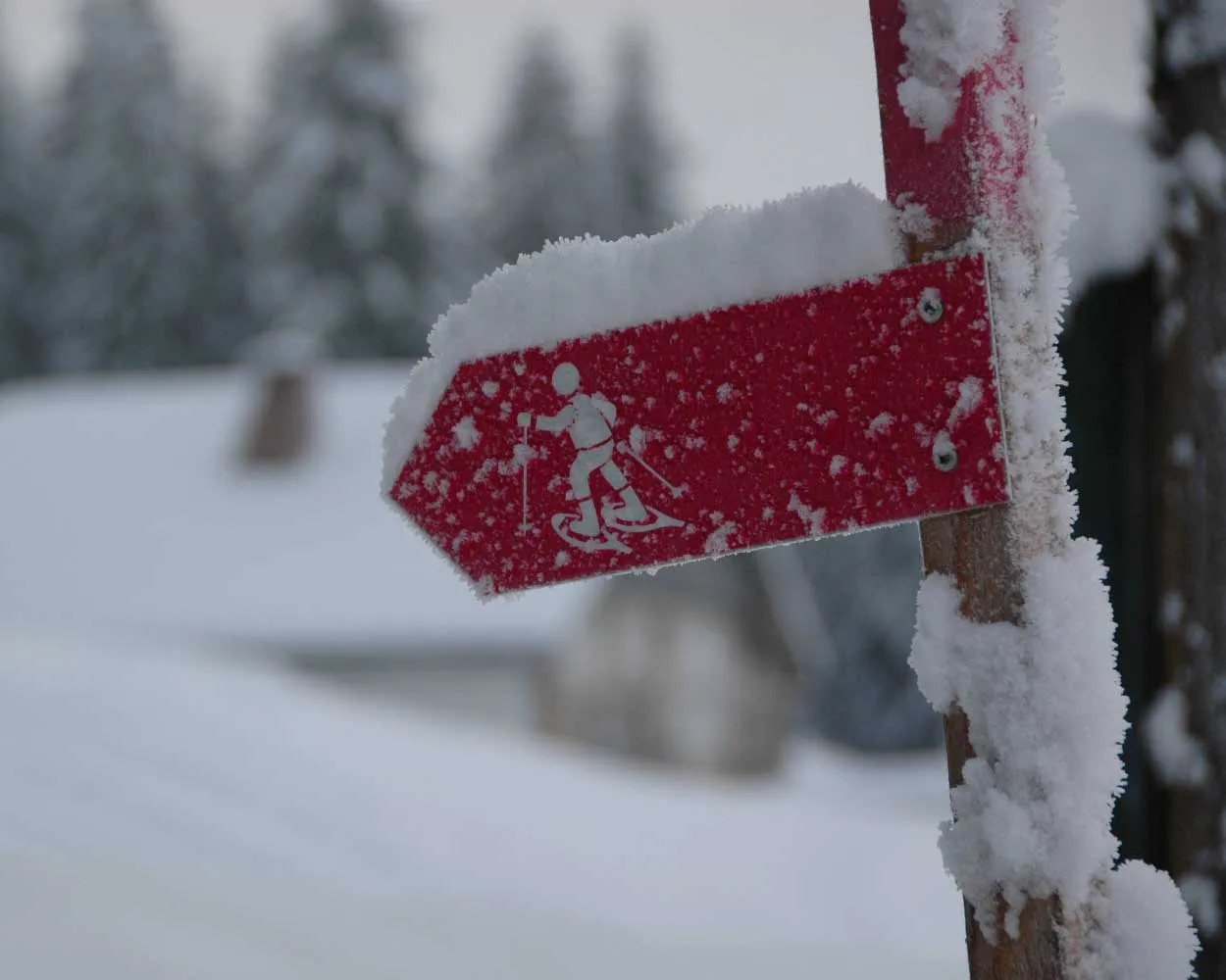
Much appreciated given its starting point close to the postbus stop, the route is very varied and explores typical Jura landscapes. When the weather is clear, as the name suggests, you will have a glorious view over the Alps.
7 km240 m240 m2h 50m
Landscape: With panoramic views,Onto a mountain peak
Tour published by:
SwitzerlandMobility
Learn more on
schweizmobil.ch
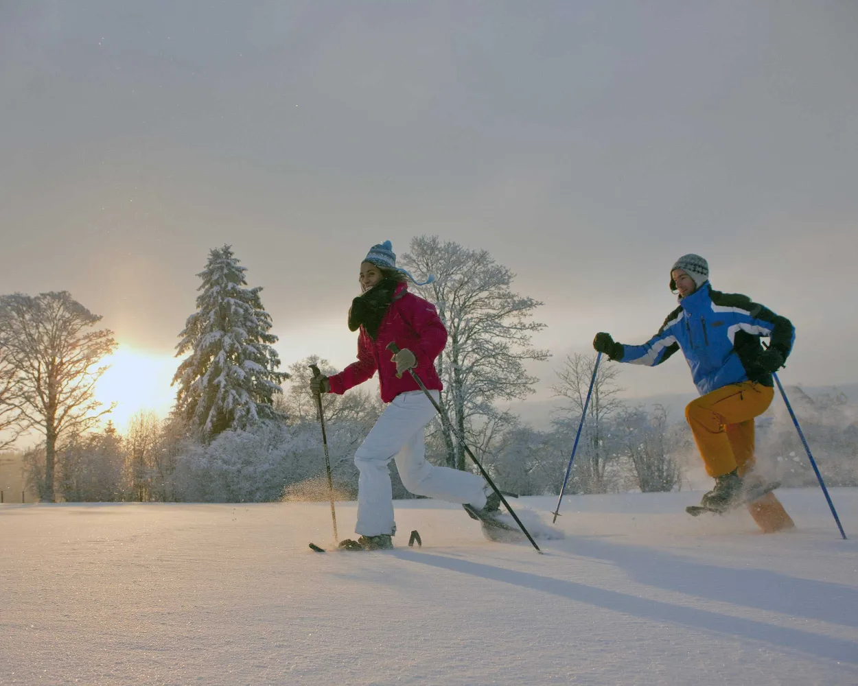
This enjoyable snowshoe hike along the Mont-Croisin and Mont-Soleil crests will take you between the wind turbines and the solar-power plant, always in sight of the impressive Chasseral massif which dominates the Saint-Imier valley.
8 km200 m240 m3h 10mTour published by:
SwitzerlandMobility
Learn more on
schweizmobil.ch
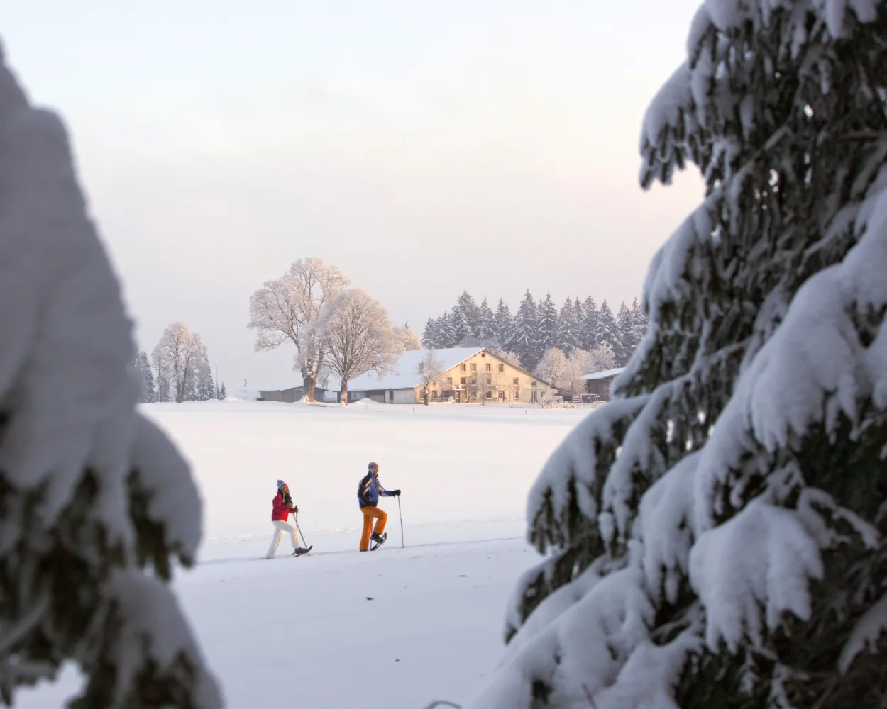
The pastured woodland of Les Breuleux is one of the most beautiful sites in the Franches-Montagnes. Crossing this vast landscape is just like immersing yourself in another world covered in endless pine trees that are well enough spread out for a snowshoe excursion.
5 km180 m180 m2h 15mLandscape: With panoramic views,Onto a mountain peak
Tour published by:
SwitzerlandMobility
Learn more on
schweizmobil.ch
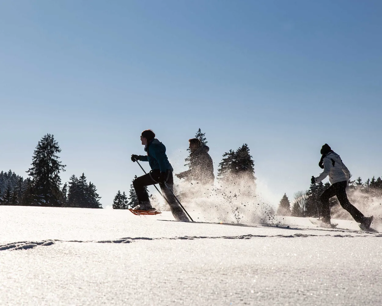
It is (hopefully) only cross-border in sporting terms: the challenging snowshoe hike from "Siberia of Switzerland" to France. From La Brévine, the route climbs over snow-covered pastures, through secluded fir forests and up to Mont Châteleu for some long-distance views.
9 km380 m380 m4h 0mLandscape: Onto a mountain peak
Tour published by:
SwitzerlandMobility
Learn more on
schweizmobil.ch
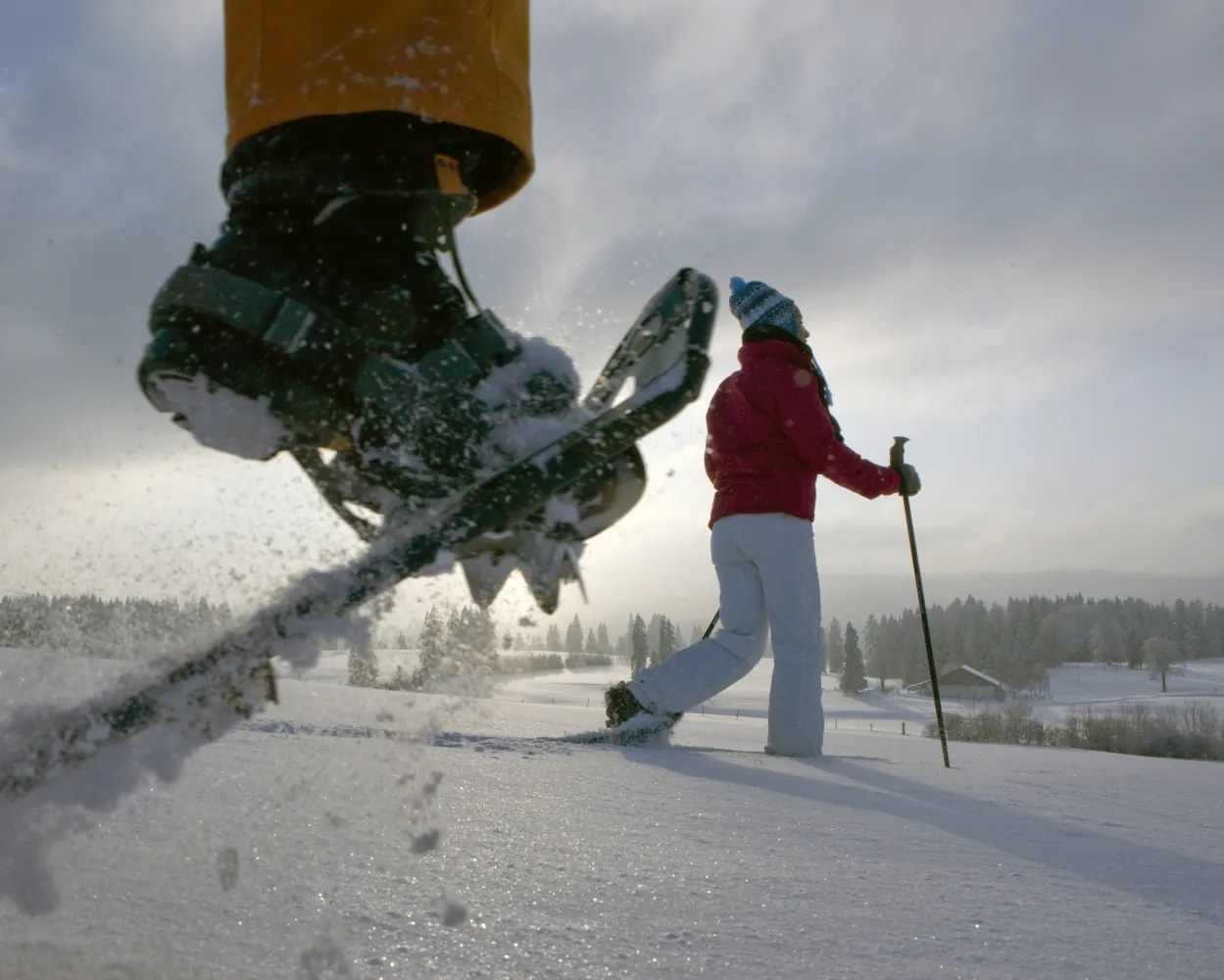
Résumé This snowshoeing excursion almost immediately immerses you in the charming scenery of the Franches-Montagnes. Midway through, you reach the Etang des Royes lake, which is an exceptional natural site with a beautiful clearing. It's ideal if you want to take a short break.
5 km140 m140 m2h 5mTour published by:
SwitzerlandMobility
Learn more on
schweizmobil.ch
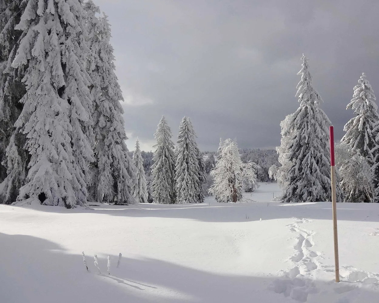
Starting from Bellelay in the region of the famous Tête de Moine AOC cheese, this snow-shoe excursion will take you to Sur Montbautier in the uplands of the Montagne du Droit before passing through the forest of the same name on the way back to your starting point.
9 km320 m320 m3h 50mLandscape: With panoramic views,Through a Swiss Park,Onto a mountain peak
Tour published by:
SwitzerlandMobility
Learn more on
schweizmobil.ch
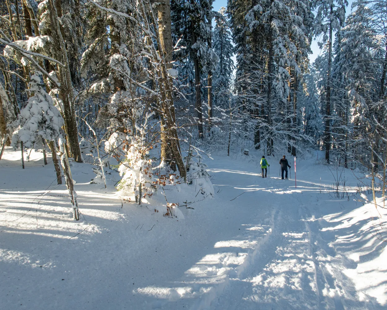
Ideal for hikers who want to get close to nature, this route takes you through meadows and forests via L’Auberson, a typical Jura village, and the plateau of Les Granges offering unique views of the Jura mountains.
9 km300 m300 m3h 35mTour published by:
SwitzerlandMobility
Learn more on
schweizmobil.ch
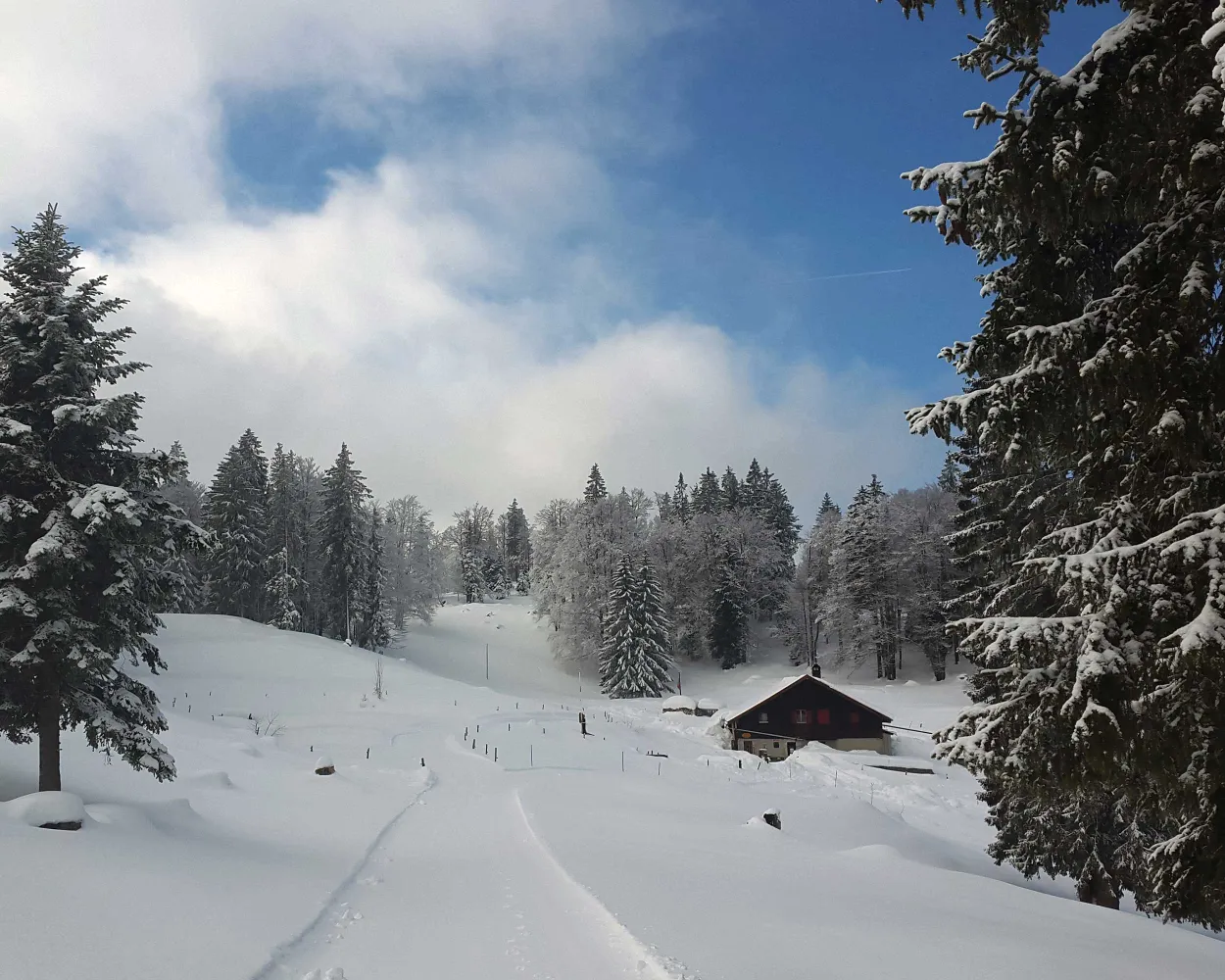
This hiking trail between Col des Etroits, L’Auberson and the Mont-des-Cerfs offers a chance to discover the natural beauty of the Vaud Jura landscape. History buffs might appreciate a detour to the Museum of Mechanical Art and Heritage in Sainte-Croix.
8 km280 m280 m3h 15mTour published by:
SwitzerlandMobility
Learn more on
schweizmobil.ch



