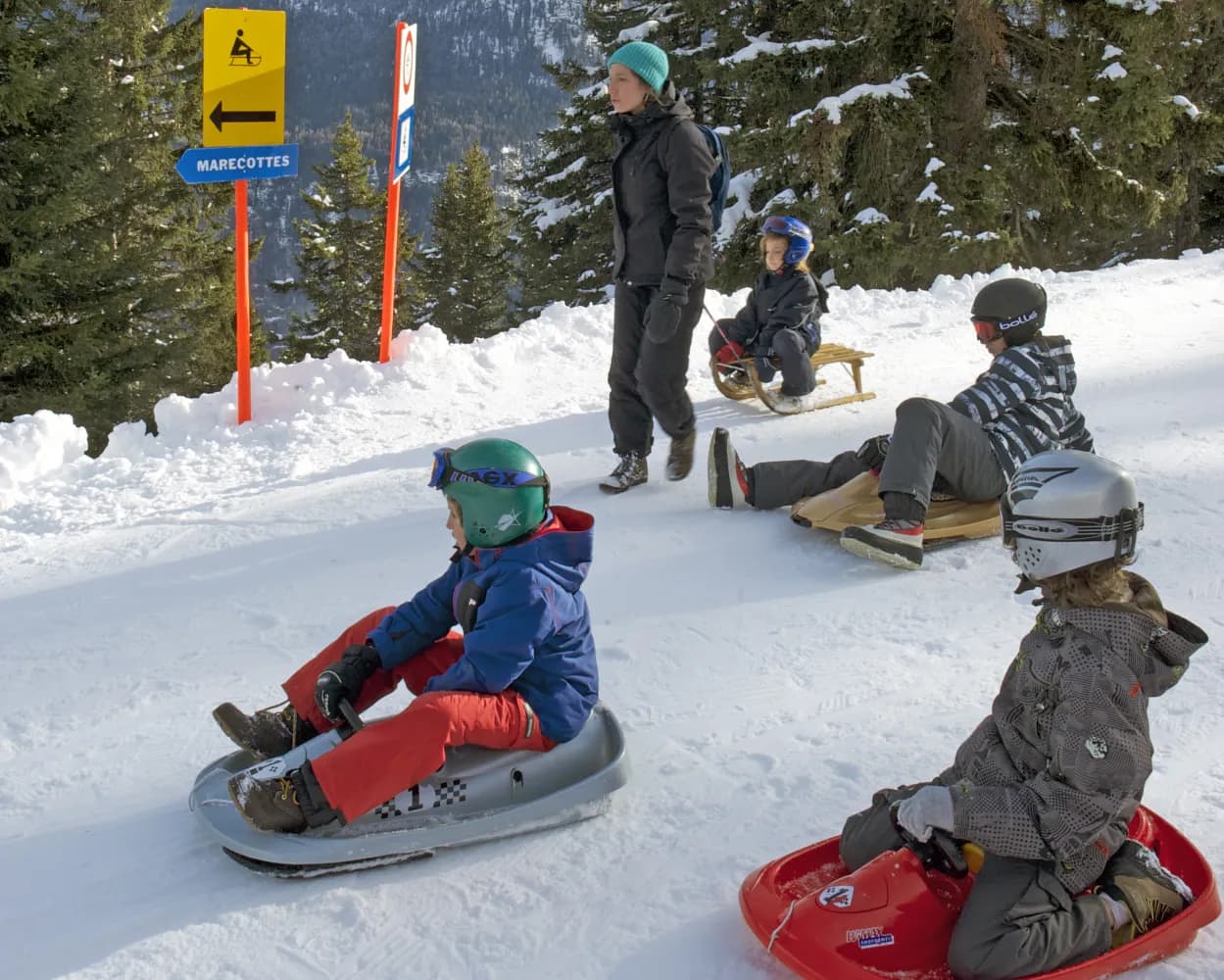
Relaxed or fast-paced: these sledging runs are all reachable from La Chaux-de-Fonds by public transport. From family-friendly slopes to longer panoramic descents in the Alps, there’s something for every level of sledger.
The destinations below are sorted by travel time from La Chaux-de-Fonds to make planning easier. Be sure to check the map to explore all sledging runs and thousands of other outdoor activities reachable from any starting point in Switzerland.
Much more on ovunta.com/en/map

On the far side of the Chasseron in the Neuchâtel Jura and after an easy chairlift ride, you’ll find a challenging run that criss-crosses the Alpine pastures of La Robella, passes through forests and ends in the village of Buttes.
 4km
4km 440m
440mTour published by:
SwitzerlandMobility
Learn more on
schweizmobil.ch
| La Chaux-de-Fonds (08:32) | |
| RE6 (28m) | |
| Neuchâtel (09:00) |
| Neuchâtel (09:13) | |
| R21 (42m) | |
| Buttes (09:55) |
The route is closed for winter 2023/24. No need to look too far away – the Gurten has plenty to delight tobogganing fans. The descent down Bern’s local mountain is particularly appealing when the city disappears under a blanket of fog. Make sure you enjoy the view of the Eiger, Mönch, and Jungfrau from the observation tower before you start.
1km120mTour published by:
SwitzerlandMobility
Learn more on
schweizmobil.ch
| La Chaux-de-Fonds (08:32) | |
| RE4 (40m) | |
| Biel/Bienne (09:12) |
| Biel/Bienne (09:24) | |
| S3 (47m) | |
| Wabern bei Bern (10:11) |
The mountain road on Mount Weissenstein, which is closed to vehicles in winter, is transformed into a toboggan run offering plenty of speed and turns.
5km640mTour published by:
SwitzerlandMobility
Learn more on
schweizmobil.ch
| La Chaux-de-Fonds (08:32) | |
| RE4 (40m) | |
| Biel/Bienne (09:12) |
| Biel/Bienne (09:21) | |
| S20 (28m) | |
| Solothurn (09:49) |
| Solothurn (10:32) | |
| S21 (14m) | |
| Oberdorf SO (10:46) |

A winter highlight of the Kandertal. Great fun and the very best views on Kiental, Blüemlisalp and Lake Thun are guaranteed along the toboggan track from Ramslouene. After some gentle turns the track guides you into a forest with open spots.
4km500mTour published by:
SwitzerlandMobility
Learn more on
schweizmobil.ch
| La Chaux-de-Fonds (09:02) | |
| IR66 (1h 6m) | |
| Bern (10:08) |
| Bern (10:39) | |
| RE1 (40m) | |
| Reichenbach im Kandertal (11:19) |
| Reichenbach i. K., Bahnhof (11:27) | |
| 220 (10m) | |
| Kiental, Schönegg (11:37) |
Sledging fun for all age groups awaits on the Wiriehorn at the heart of the Diemtigtal Nature Park. Race down this pine-tree flanked run from the top station of the chairlift to the valley below.
5km440mTour published by:
SwitzerlandMobility
Learn more on
schweizmobil.ch
| La Chaux-de-Fonds (09:02) | |
| IR66 (1h 6m) | |
| Bern (10:08) |
| Bern (10:39) | |
| RE1 (45m) | |
| Oey-Diemtigen (11:24) |
| Oey-Diemtigen, Bahnhof (11:28) | |
| 250 (17m) | |
| Riedli, Talstation Wiriehorn (11:45) |
The Col du Marchairuz toboggan run in the heart of the Parc Jura Vaudois is the longest run in the Vallée de Joux, taking you on a thrilling ride through forest and clearings, with bends, gentle slopes and steeper drops.
1km80mTour published by:
SwitzerlandMobility
Learn more on
schweizmobil.ch
| La Chaux-de-Fonds (08:32) | |
| RE6 (28m) | |
| Neuchâtel (09:00) |
| Neuchâtel (09:09) | |
| IC51 (39m) | |
| Renens VD (09:48) |
| Renens VD (10:06) | |
| RE33 (18m) | |
| Rolle (10:24) |
| Rolle, gare nord (10:39) | |
| 840 (44m) | |
| Le Marchairuz, col (11:23) |
The sledge run Rossweid is a highlight in the Sörenberg winter sports area, especially for families with small children. At first, it is not that steep and promising. Then, it becomes faster and passes part of the ski slope through the unique biosphere area.
2km300mTour published by:
SwitzerlandMobility
Learn more on
schweizmobil.ch
| La Chaux-de-Fonds (09:02) | |
| IR66 (1h 6m) | |
| Bern (10:08) |
| Bern (10:36) | |
| RE7 (52m) | |
| Schüpfheim (11:28) |
| Schüpfheim, Bahnhof (11:33) | |
| 241 (26m) | |
| Sörenberg, Platz (11:59) |
Treat yourself to a breath of fresh air and a long ride on this 5km sledge run that connects the panoramic restaurant of La Creusaz and the village of Les Marécottes. This gentle path criss-crosses the forest.
5km660mTour published by:
SwitzerlandMobility
Learn more on
schweizmobil.ch
| La Chaux-de-Fonds (08:32) | |
| RE6 (28m) | |
| Neuchâtel (09:00) |
| Neuchâtel (09:09) | |
| IC51 (39m) | |
| Renens VD (09:48) |
| Renens VD (10:04) | |
| IR95 (1h 0m) | |
| Martigny (11:04) |
| Martigny (11:14) | |
| MBX (19m) | |
| Les Marécottes (11:33) |
The Niederhorn funicular and cableway transport you quickly and conveniently up to almost 2000 m.a.s.l. Enjoy the following half-hour rapid downhill run from the Niederhorn to Vorsass with unrivalled views of Lake Thun and the snow-capped Bernese peaks.
3km400mTour published by:
SwitzerlandMobility
Learn more on
schweizmobil.ch
| La Chaux-de-Fonds (08:32) | |
| RE4 (40m) | |
| Biel/Bienne (09:12) |
| Biel/Bienne (09:22) | |
| IR65 (26m) | |
| Bern (09:48) |
| Bern (10:04) | |
| IC81 (19m) | |
| Thun (10:23) |
| Thun, Bahnhof (10:32) | |
| 21 (29m) | |
| Beatenbucht (11:01) |
| Beatenbucht (Beatenbergbahn) (11:08) | |
| 2355 (10m) | |
| Beatenberg (11:18) |
| Beatenberg (11:25) | |
| 2356 (10m) | |
| Beatenberg Vorsass (11:35) |
From the sunny terrace of Rosswald down to the cable car valley station in Ried-Brig – first through a number of fast stretches, then on a more leisurely pace. Along the way you’ll pass through wintry conifer forests coated in snow and the Rosswald alpine pasture.
7km760mTour published by:
SwitzerlandMobility
Learn more on
schweizmobil.ch
| La Chaux-de-Fonds (08:32) | |
| RE4 (40m) | |
| Biel/Bienne (09:12) |
| Biel/Bienne (09:22) | |
| IR65 (26m) | |
| Bern (09:48) |
| Bern (10:07) | |
| IC6 (1h 6m) | |
| Brig (11:13) |
| Brig, Bahnhof (11:20) | |
| 632 (15m) | |
| Ried-Brig, Talstation LRR (11:35) |