Discover ten diverse hiking trails accessible from Scuol by public transport. From the historic Jakobsweg through the Lower Engadine to the rugged paths of the Swiss National Park, these routes showcase the region's natural beauty and cultural heritage. Wander through picturesque Engadine villages, climb to panoramic viewpoints, and explore lush alpine meadows teeming with rare flora.
The hikes are listed in order of travel time from Scuol, making it easy to plan your adventure. Check out the map to explore thousands of destinations and activities, reachable from any starting point in Switzerland.
Much more on ovunta.com/en/map
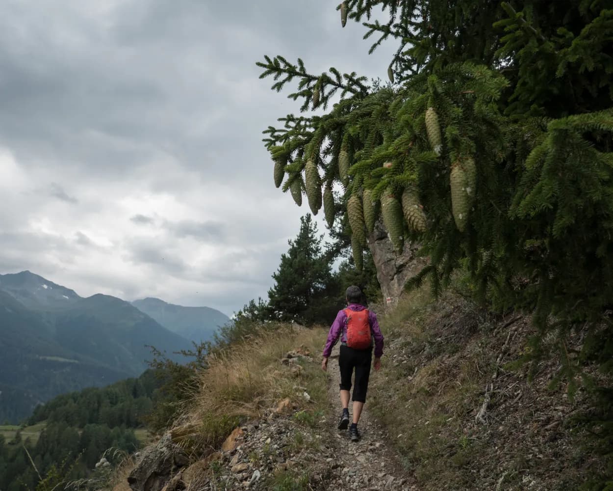
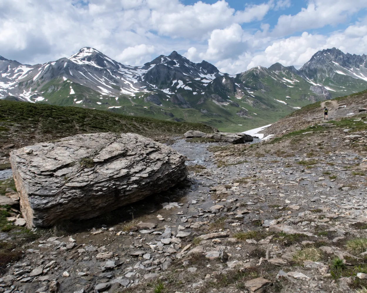
Schmelzra and its old furnace ruins follow after S-charl. Then onwards to the turn into the Val Mingèr valley, through the mixed woods along Clemgia, descent through the Clemgia ravine, and on to the Inn district of the resort Scuol. (Previously know as Bad Scuol or Schuls).
 13 km
13 km 280 m
280 m 800 m
800 m 3h 35m
Landscape: With panoramic views,Through a gorge
Tour published by:
SwitzerlandMobility
Learn more on
schweizmobil.ch
Scenic pass and valley landscapes on the Jakobsweg route through multifaceted Graubünden. Cultural and historical signs of the Santiago pilgrim’s path – and stunning scenery inviting one to reflect on own values and the beauty of nature.
260 km11100 m10300 mLandscape: With panoramic views,Over a pass
Tour published by:
SwitzerlandMobility
Learn more on
schweizmobil.ch
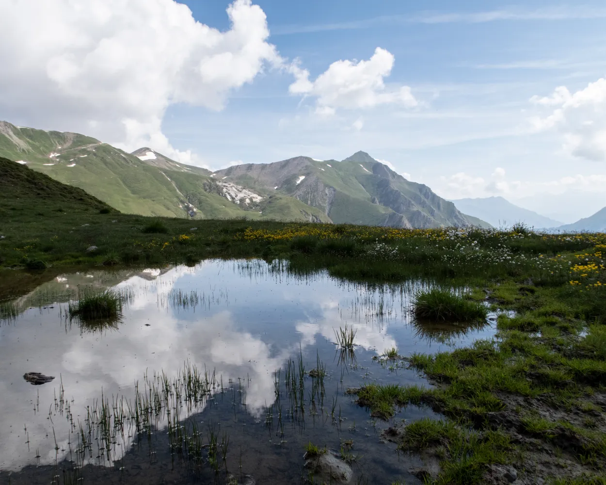
An impressive route over sunny terraces with colourful dry grassland and superb views of the mountain world. On the way: a typical Engadine village, hanging bridges and mountain trails, passing lakes, waterfalls and glacier residue.
37 km2300 m1750 mLandscape: Over a pass,With panoramic views,Onto an alp
Tour published by:
SwitzerlandMobility
Learn more on
schweizmobil.ch
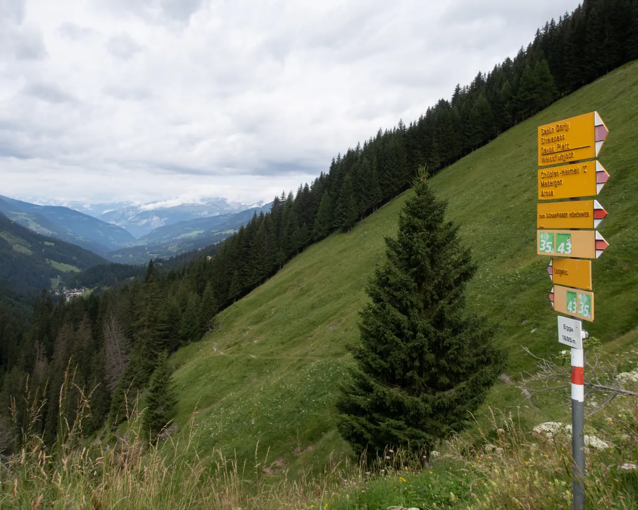
Over flower-filled meadows, with wonderful views along the sunny slopes of the Engiadina bassa, before turning into the wild, forested Val Sinestra, past historic buildings, climb to the scenic Fimberpass, the pass to the Heidelberger Hut.
25 km1700 m720 m8h 15mLandscape: With panoramic views,Over a pass,Onto an alp
Tour published by:
SwitzerlandMobility
Learn more on
schweizmobil.ch
| Scuol-Tarasp, staziun (08:35) | |
| 913 (2m) | |
| Scuol, posta (08:37) |

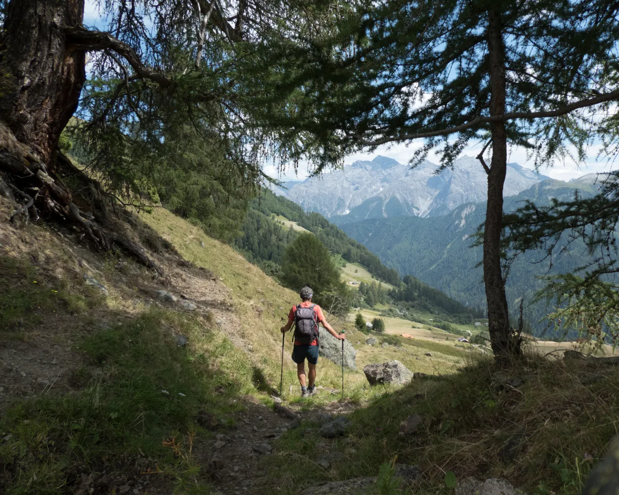
The hike through the Lower Engadine offers insights into the Rhaeto-Romanic language and housing culture. The breathtaking views of the three-thousand-metre peaks, the Schellen-Ursli village of Guarda and a ruin that dates back over a thousand years enrich this hike in the silence of the mountains.
15 km740 m380 m4h 15mLandscape: With panoramic views,Onto an alp
Tour published by:
SwitzerlandMobility
Learn more on
schweizmobil.ch
| Scuol-Tarasp, staziun (09:30) | |
| 921 (3m) | |
| Ftan, Baraigla (09:33) |
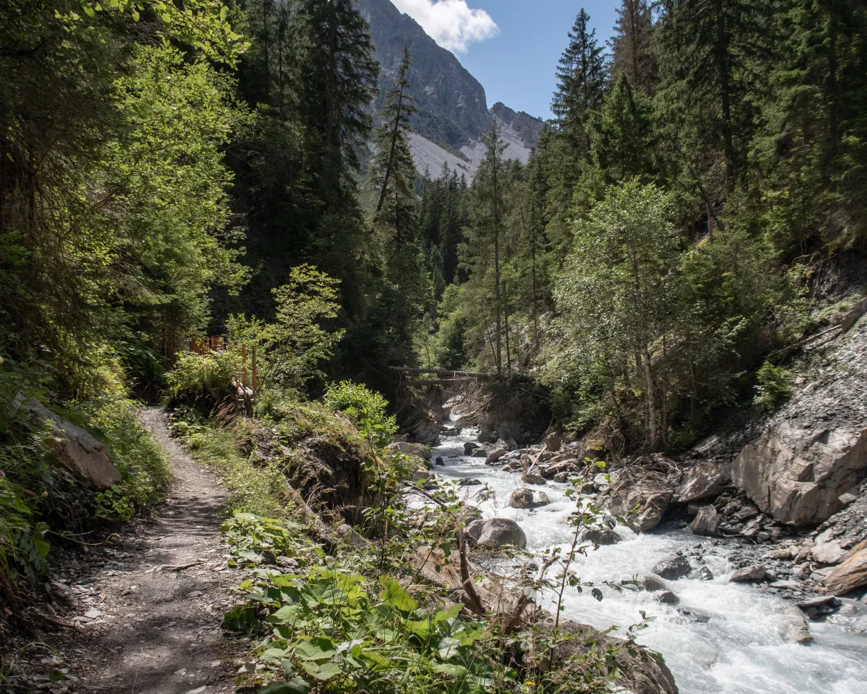
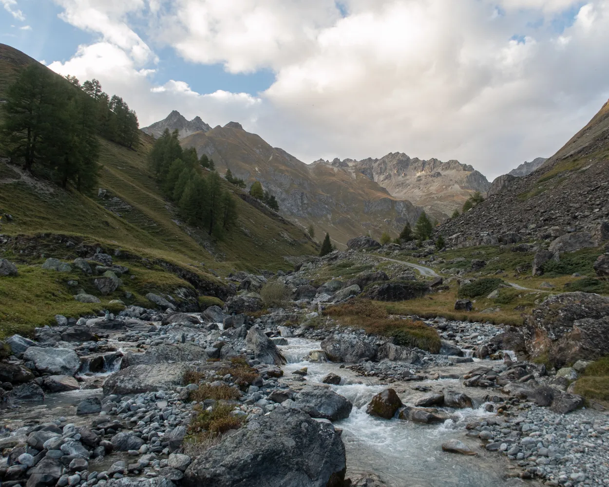
Following the Clozza, the path takes you deep into the rocky Val Tuoi, climbs above the tree line and leads out of the valley again. The view soon opens up across the Lower Engadine with its mighty mountain ranges. Attractive alpine pastures, gnarled trees and the wonderfully decorated Engadine villages make the hike very appealing.
14 km720 m950 m4h 35mTour published by:
SwitzerlandMobility
Learn more on
schweizmobil.ch
Classic high-altitude trail from the Upper to the Lower Engadine. On the sunny side of the valley along the river Inn, you cross typical Engadine villages, pine and larch forests, crystal-clear streams and lush alpine meadows. The panorama: the gleaming glaciers of the Bernina group and the Engadine Dolomites in the Swiss National Park.
165 km7900 m8600 mLandscape: Through a Swiss Park
Tour published by:
SwitzerlandMobility
Learn more on
schweizmobil.ch
| Scuol-Tarasp (08:33) | |
| R15 (9m) | |
| Ardez (08:42) |
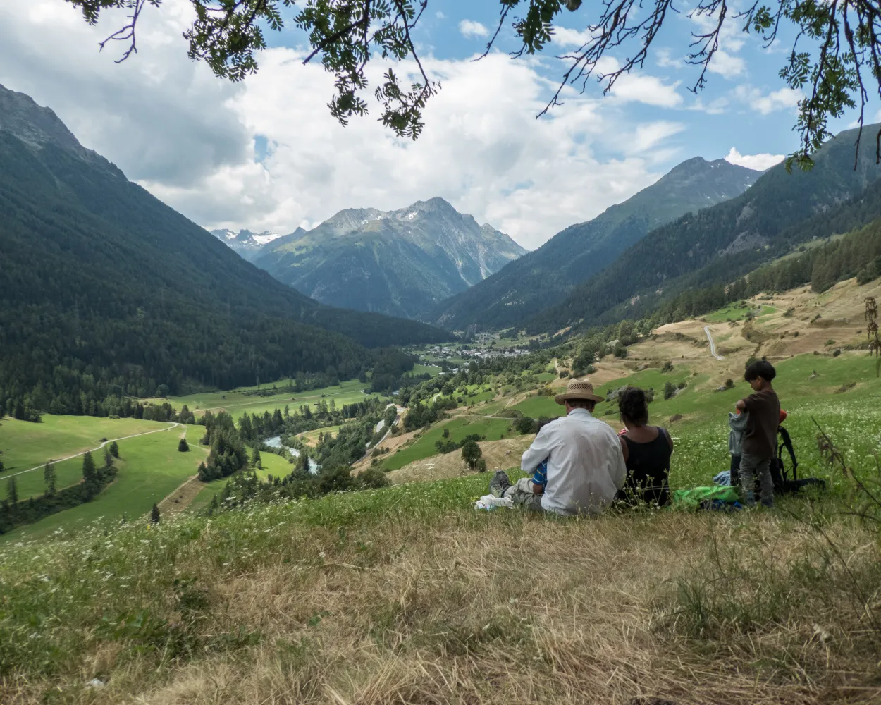
The hike leads from the car-free Schellen-Ursli village of Guarda to the gateway to the Swiss National Park at Zernez. The trail runs south along the Inn River across the valley floor and over wooded slopes. Ornate churches, beautiful wooden bridges, mossy rocks, and icy caves tell of the history of the Lower Engadine.
16 km480 m660 m4h 25mLandscape: Along the water
Tour published by:
SwitzerlandMobility
Learn more on
schweizmobil.ch
| Scuol-Tarasp (08:33) | |
| R15 (13m) | |
| Guarda (08:46) |
The easy high-altitude hike on the sunny side of the Lower Engadine runs through the ski area above Scuol. You reach the picturesque village of Sent on narrow trails, crossing numerous mountain streams. The views of the Lower Engadine Dolomites and the Clozza Gorge are superb.
13 km300 m950 m3h 35mTour published by:
SwitzerlandMobility
Learn more on
schweizmobil.ch
| Scuol-Tarasp, staziun (09:30) | |
| 923 (11m) | |
| Sent, Sala (09:41) |
The route starts in the cobbled streets of Ardez between attractively decorated Engadine houses. You then go uphill into Val Tasna and up to Alp Laret at an altitude of 2,205 metres. Rare alpine flowers thrive on steep rocky hillsides, and the view extends far across the Lower Engadine with its huge mountain ranges.
14 km1050 m420 m4h 45mTour published by:
SwitzerlandMobility
Learn more on
schweizmobil.ch
| Scuol-Tarasp (08:33) | |
| R15 (9m) | |
| Ardez (08:42) |


