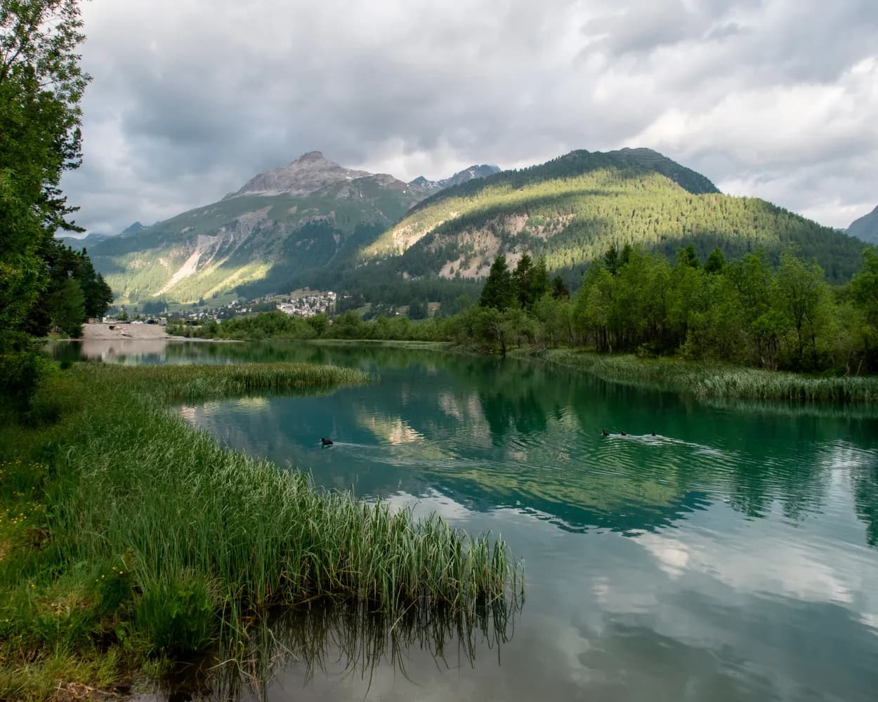
Discover a world of accessible adventures reachable from Samedan by public transport. From scenic riverside paths to tranquil lake circuits, these barrier-free routes offer a chance to experience the beauty of the Swiss Alps without limitations. Whether you're looking for gentle strolls or panoramic views, there's something for everyone to enjoy.
The following destinations are sorted by travel time from Samedan, making it easy to plan your next outing. Check out the map to explore thousands of destinations and activities, reachable from any starting point in Switzerland.
Much more on ovunta.com/en/map
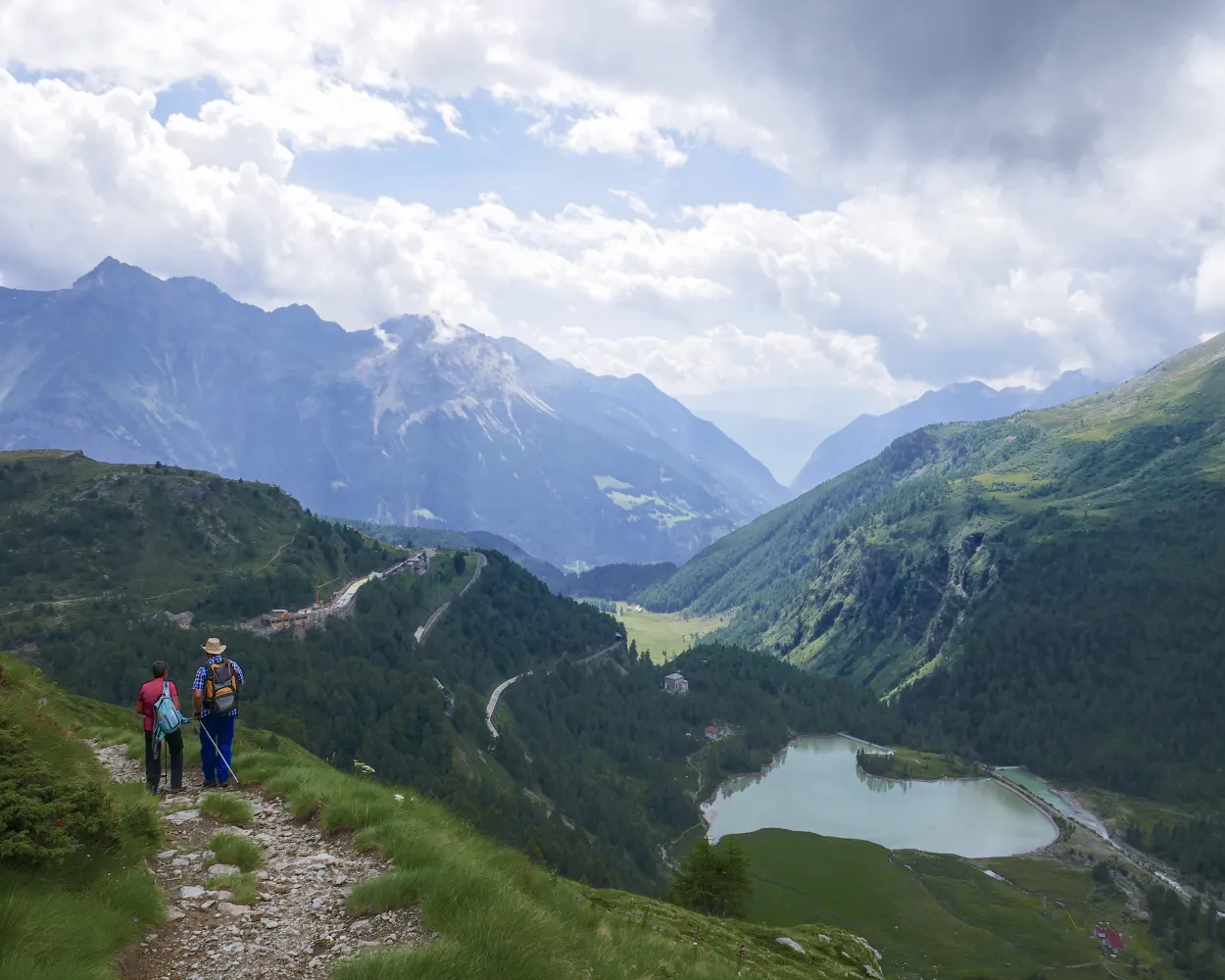
The hiking trail along the UNESCO World Heritage section of the Rhaetian Railway runs as near as possible to the Albula and Bernina railway line, regularly affording enchanting open views of an over 100-year-old total artwork in stunning Alpine scenery.
 130 km
 5100 m
 5400 m
Landscape: With panoramic views
Tour published by:
SwitzerlandMobility
Learn more on
schweizmobil.ch
Tour from Samedan in the unspoilt Val Champagna. The challenging climb has its rewards: first, the natural beauty of Lej Muragl, and a unique view across the Upper Engadine lake landscape at Muottas Muragl. Do you fancy a trail run? This route is ideal.
18 km1200 m1200 m 6h 50m
Tour published by:
SwitzerlandMobility
Learn more on
schweizmobil.ch
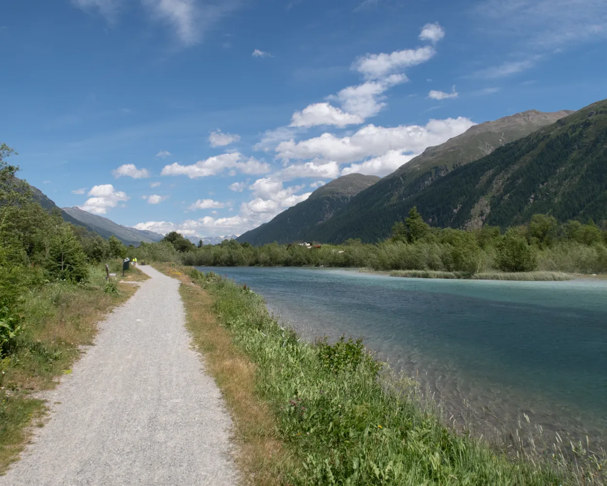
In the secluded Bever Valley, the path follows the Beverin mountain stream through larch forests. Later it continues upstream along the Inn with views of the Bernina massif. Through the renatured river landscape along the Rhaetian Railway the route leads to the exclusive holiday resort of St. Moritz.
13 km240 m280 m3h 15mTour published by:
SwitzerlandMobility
Learn more on
schweizmobil.ch
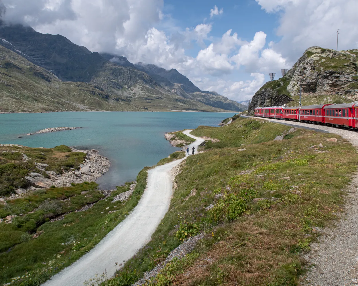
Wine from Veltlin has been imported to Graubunden and Voralberg for hundreds of years. One of the pack-mule routes led from Veltlin via Davos into Montafon. The historic route has been revived as the ViaValtellina, an attractive long-distance hiking route.
135 km7000 m8000 mLandscape: With panoramic views
Tour published by:
SwitzerlandMobility
Learn more on
schweizmobil.ch
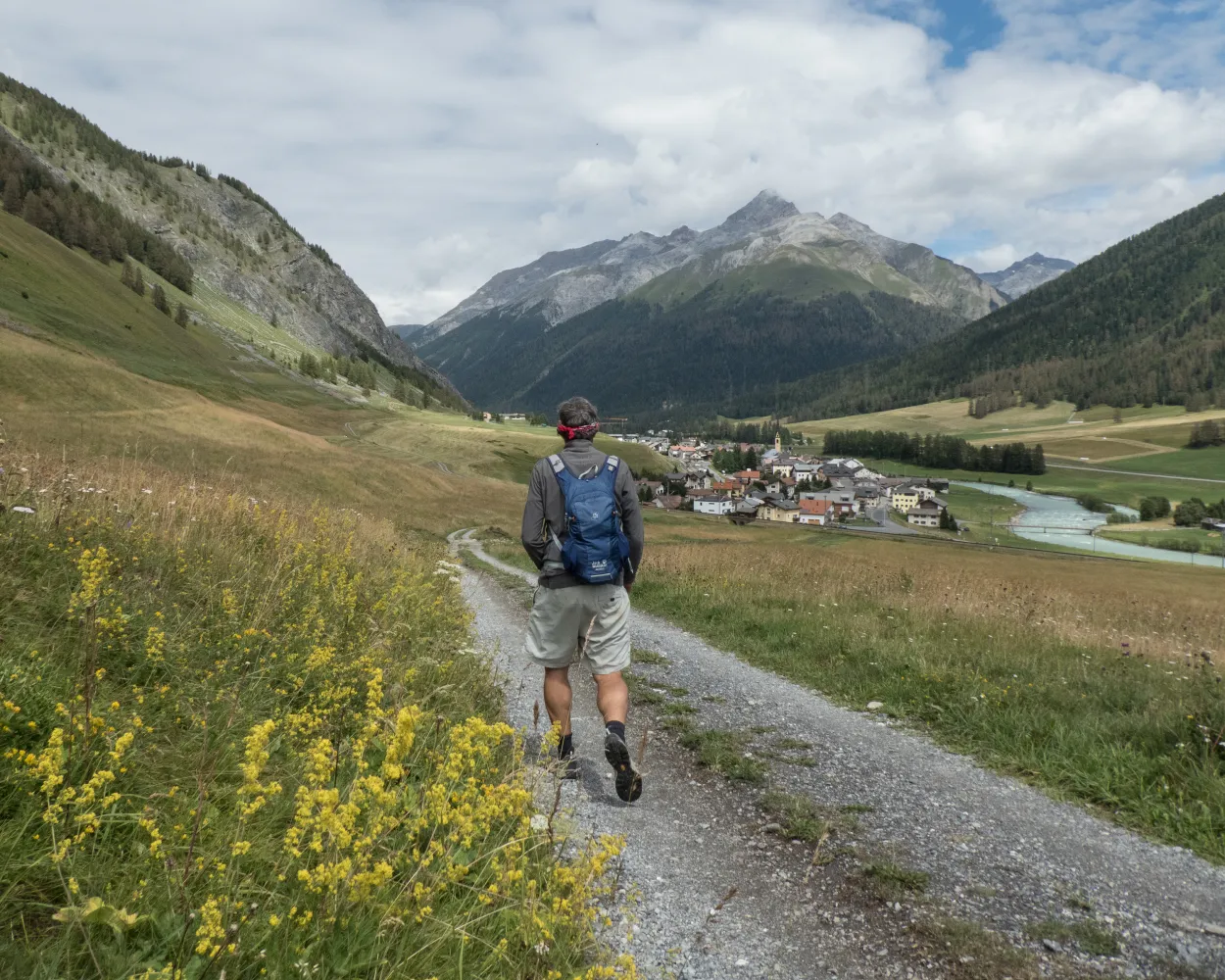
Through the wide, open mountain landscape of the Upper Engadine from S-chanf via Zuoz and Samedan to Pontresina. Picturesque villages with old manor houses and hotel buildings from the era of belle époque, alternating with a unique natural landscape.
21 km380 m260 m5h 15mLandscape: With panoramic views
Tour published by:
SwitzerlandMobility
Learn more on
schweizmobil.ch
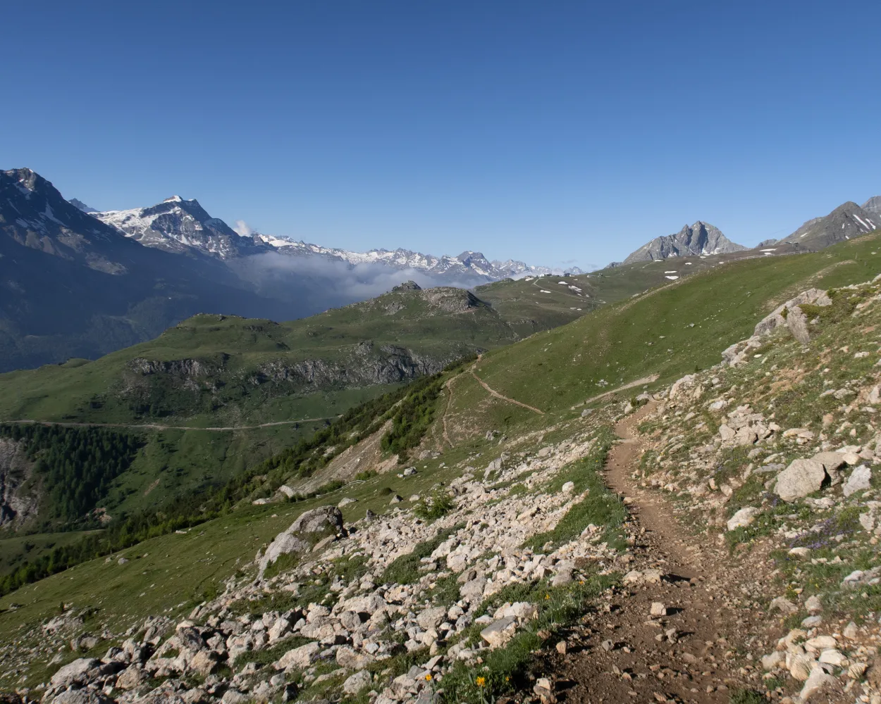
From the Corviglia, St. Moritz’s local mountain, a narrow path leads along the steep hillside across alpine pastures high above the tree line. The view of the valley floor and the mountain peaks above Pontresina is breathtaking. The hike ends in the attractive village of Bever.
10 km260 m820 m2h 55mTour published by:
SwitzerlandMobility
Learn more on
schweizmobil.ch
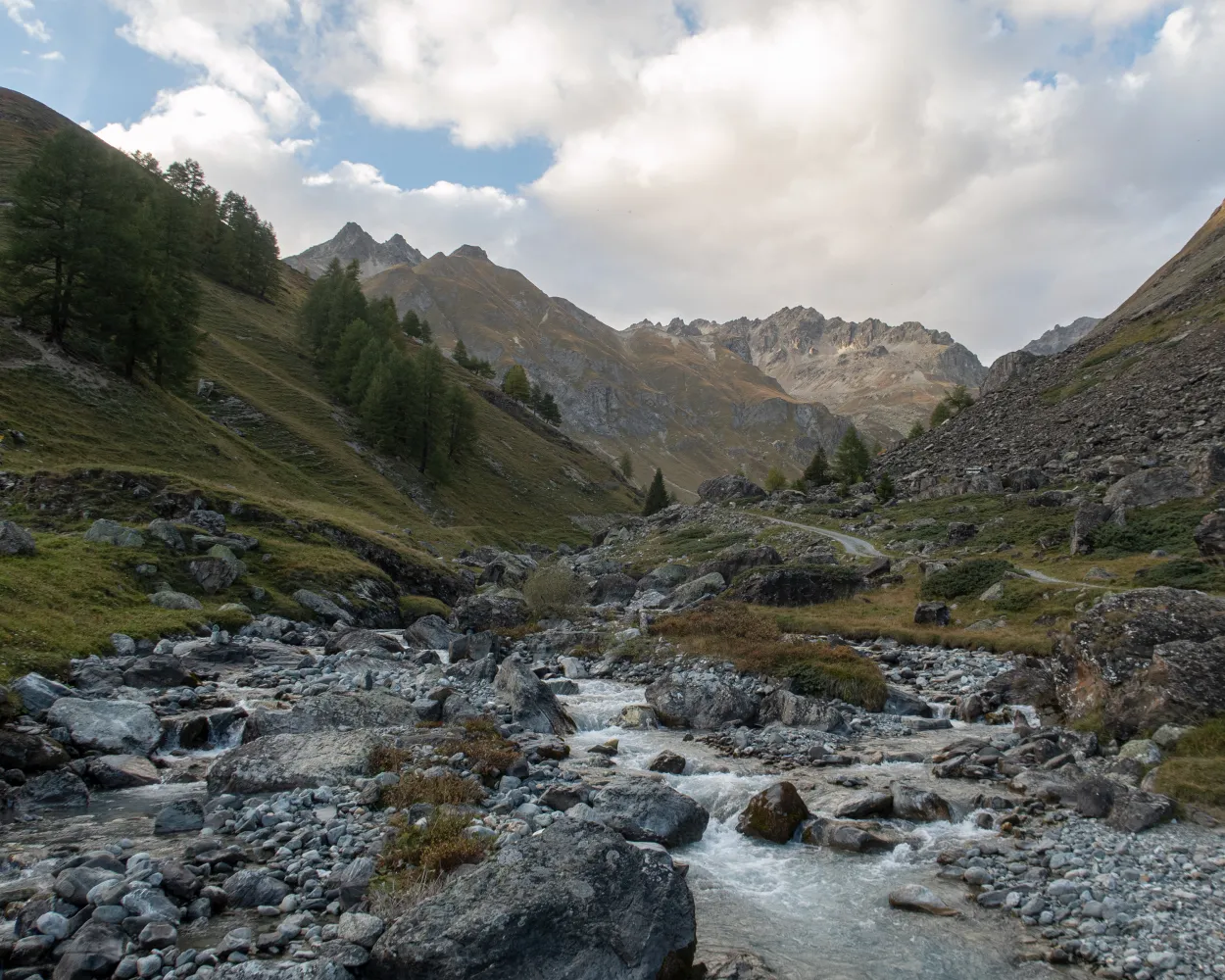
Classic high-altitude trail from the Upper to the Lower Engadine. On the sunny side of the valley along the river Inn, you cross typical Engadine villages, pine and larch forests, crystal-clear streams and lush alpine meadows. The panorama: the gleaming glaciers of the Bernina group and the Engadine Dolomites in the Swiss National Park.
165 km7900 m8600 mLandscape: Through a Swiss Park
Tour published by:
SwitzerlandMobility
Learn more on
schweizmobil.ch
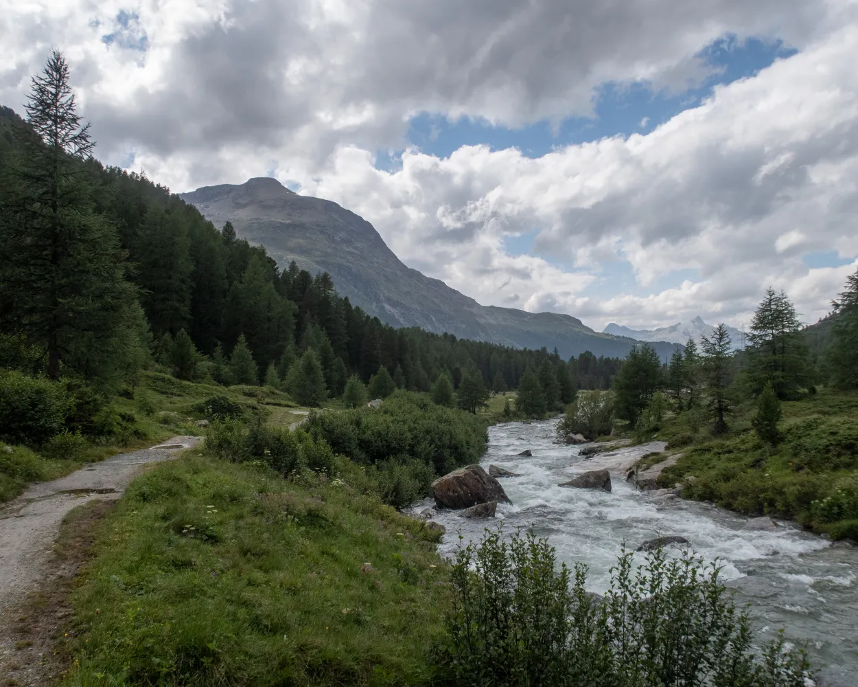
A gentle, steady climb through moor landscapes and Alpine pastures to the Bernina pass. The protected Staz forest, the Pontresina mountain resort, the Morteratsch glacier world and the highest peaks in the Graubünden region make this an unforgettable tour.
24 km840 m360 m6h 25mLandscape: Onto an alp,With panoramic views
Tour published by:
SwitzerlandMobility
Learn more on
schweizmobil.ch
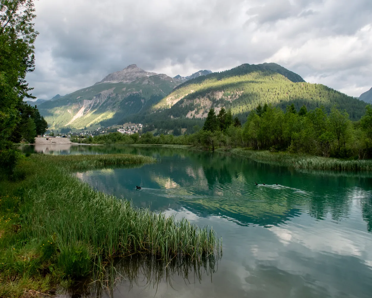
The route from Pontresina alongside the River Flaz to Beve is a real treat for the eyes. Surrounded by the majestic Engadin mountains and the wide, flower-filled valley, you follow alongside gently murmuring waters.
10 km60 m120 m2h 20m
Barrier free: Yes
Landscape: Along the water
Tour published by:
SwitzerlandMobility
Learn more on
schweizmobil.ch
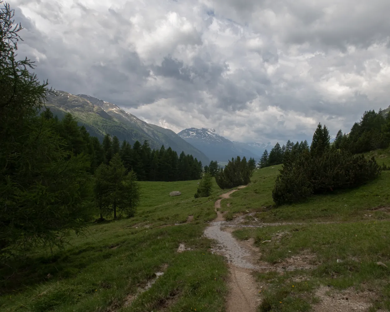
The trail runs along the south-eastern hillside and through fragrant forests, then past gnarled fir trees and bubbling mountain streams. Solid stone walls, round arches, characteristic oriels and mysterious alleyways can be explored in the Engadine villages. Enjoy the impressive view of the huge mountain ranges.
11 km560 m560 m3h 25mTour published by:
SwitzerlandMobility
Learn more on
schweizmobil.ch



