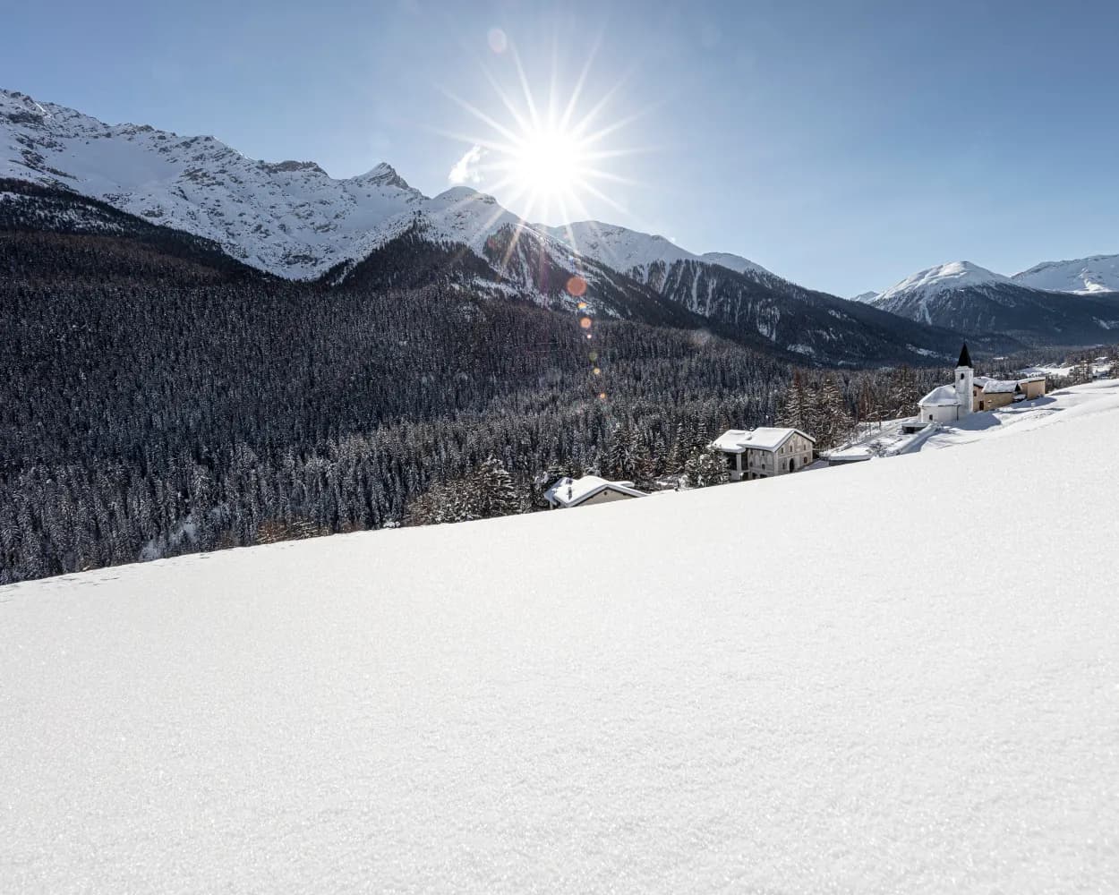
Whether skating or classic: these ten cross-country skiing destinations are all reachable from Scuol by public transport. From romantic forest tracks to scenic high-altitude loops, there’s something for every level of Nordic skier.
The destinations below are sorted by travel time from Scuol-Tarasp to make your planning easier. Make sure to visit the map to explore all cross-country skiing areas and thousands of other outdoor activities reachable from any starting point in Switzerland.
Much more on ovunta.com/en/map
Circling the mystical dark waters of Lai Nair near Tarasp Castle, this peaceful track winds through the Lower Engadine's forested landscape. The serene setting beneath historic castle ruins creates an atmospheric backdrop for a gentle ski through protected natural surroundings.
 2 km
2 kmLearn more on
engadin.com
Below the medieval tower houses of Ardez in the Lower Engadin, this compact loop circles a small lake. The trail offers a peaceful setting for quick training sessions or relaxed skiing with views toward the Silvretta range.
2.6 kmLearn more on
bergsteigerdoerfer.org
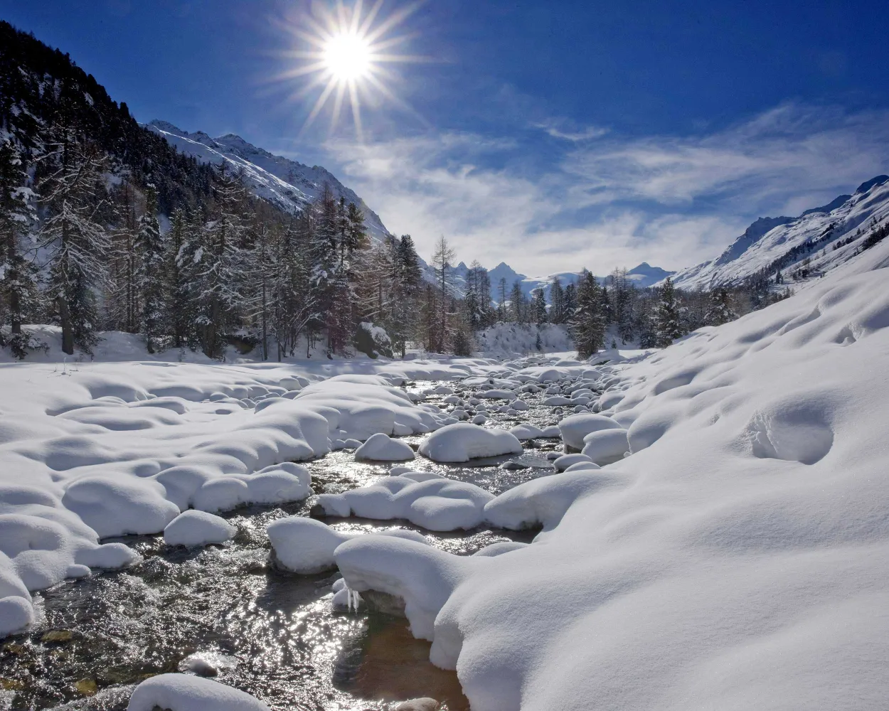
The Upper Engadin valley offers one of Europe's most extensive Nordic skiing networks, stretching across the frozen lakes and sunny high plateau between St. Moritz, Pontresina, and Maloja. This legendary destination combines pristine grooming with breathtaking Alpine scenery at elevations above 1,800 meters.
211.9 kmLearn more on
engadin.ch
and on
schweizmobil.ch
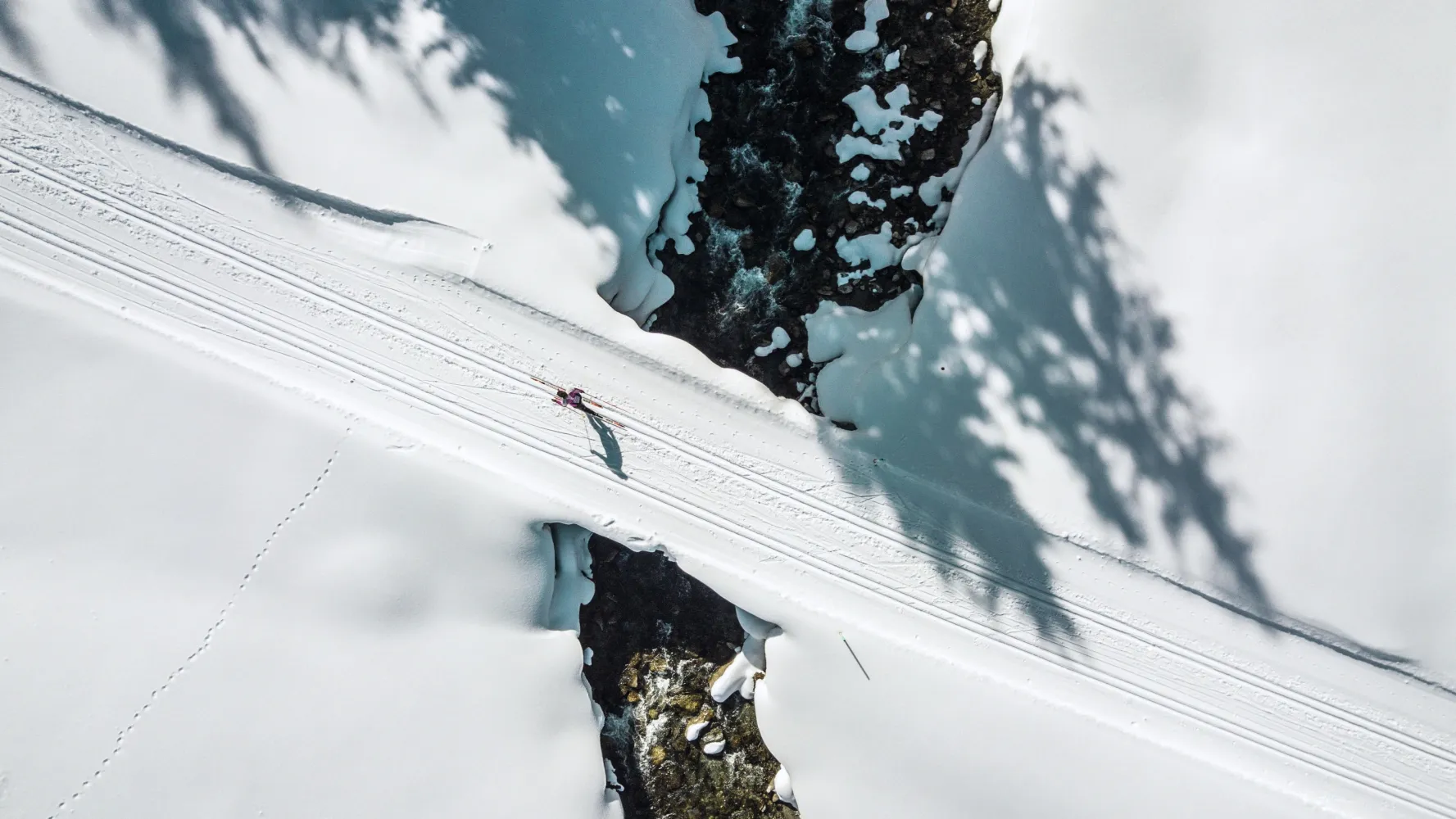
High in the Graubünden Alps, this renowned resort town offers one of Switzerland's most extensive cross-country networks. Trails wind through the Landwasser valley and surrounding plateaus, catering to all skill levels with diverse terrain from gentle valley floors to more challenging routes.
53.7 kmLearn more on
snow.myswitzerland.com
and on
schweizmobil.ch
A compact training loop in the duty-free border village between Switzerland and Austria. The high-altitude terrain offers crisp alpine air and stunning Silvretta mountain views, ideal for a quick warm-up or cool-down session alongside the famous downhill skiing area.
0.7 kmLearn more on
snow.myswitzerland.com
Tucked away in the wild Bergell valley near the Italian border, this mid-sized area offers an authentic alpine experience far from crowds. The dramatic granite peaks of the Bregaglia range provide a spectacular backdrop as tracks wind through remote high pastures.
5.2 kmLearn more on
maps.engadin.ch
Following the river Inn along the valley, the cross-country ski trail runs through open countryside, light woodland and charming Engadine villages. It is possible to join or leave the trail in various places; there are also additional optional loops for the more demanding skier.
25 kmTour published by:
SwitzerlandMobility
Learn more on
schweizmobil.ch
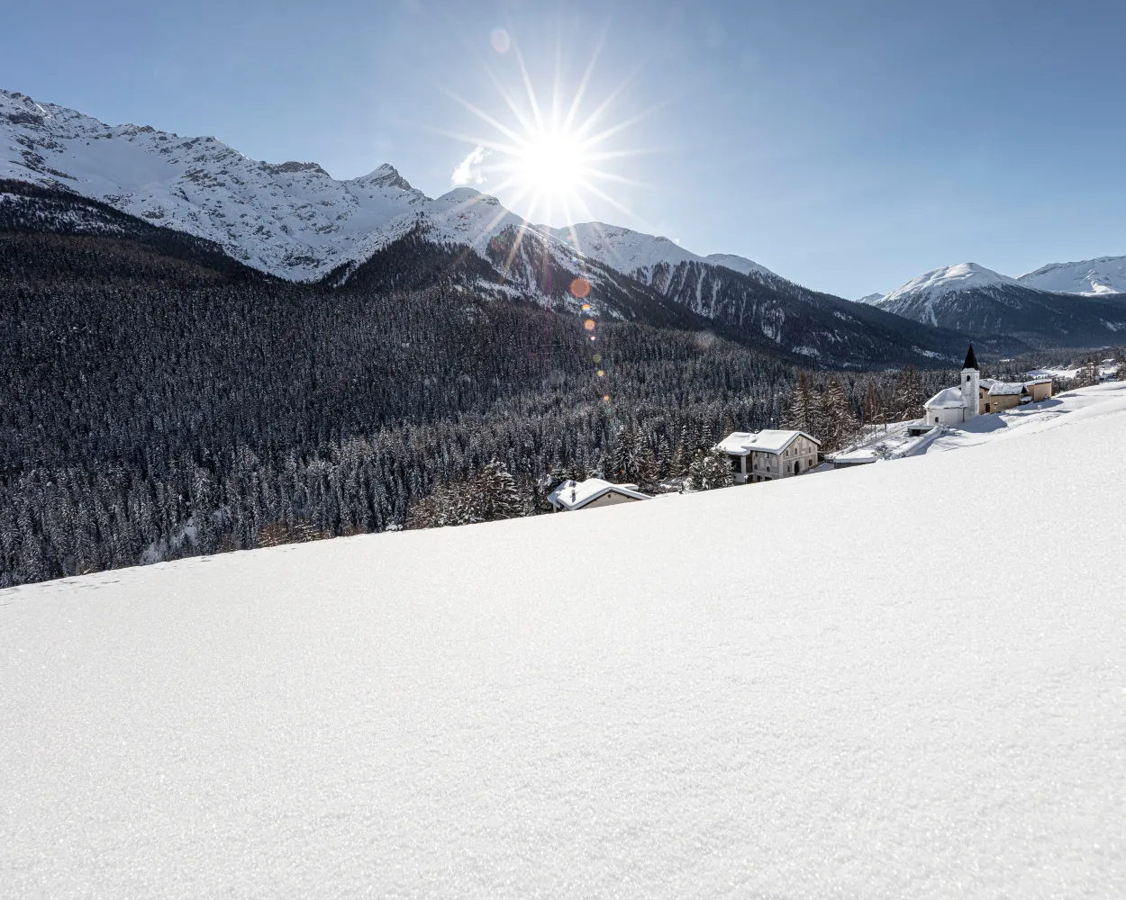
Cross-country ski trail through the forest from S-chanf to Zernez, an addition to the route of the Engadin ski marathon. It follows the Inn River and mostly runs gently downhill to the gateway of the Swiss National Park.
40.3 kmTour published by:
SwitzerlandMobility
Learn more on
snow.myswitzerland.com
and on
schweizmobil.ch
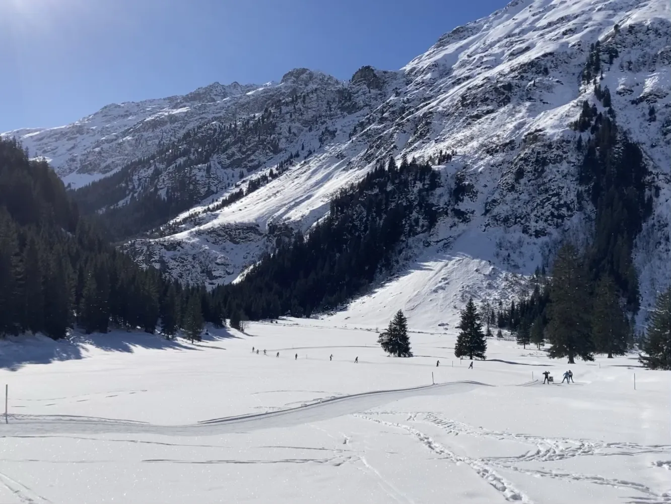
“In Klosters, the cross-country trail to Garfiun is indescribably beautiful,” gushes local elite skier Seraina Boner. The section from romantic Monbiel to the Alp Garfiun and back is not just a well-kept secret amongst locals.
22.9 kmTour published by:
SwitzerlandMobility
Learn more on
schweizmobil.ch
The cross-country trail between Fuldera and Tschierv winds its way pleasantly uphill through alternating woodlands of pine and larch and alongside the picturesque river Rombach.
28.1 kmTour published by:
SwitzerlandMobility
Learn more on
snow.myswitzerland.com
and on
schweizmobil.ch



