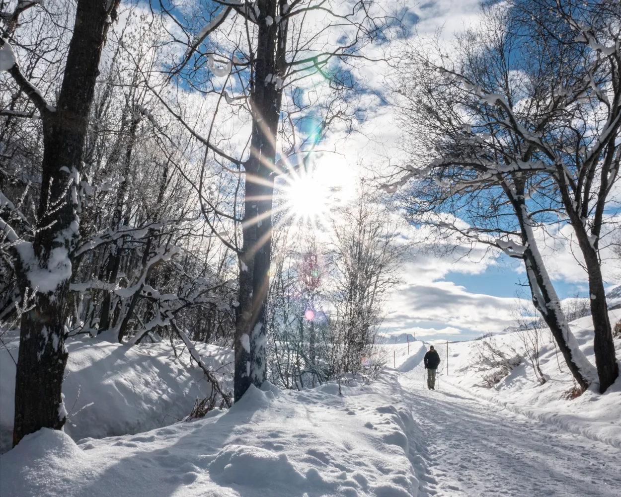
Relaxed or more challenging: these winter hikes are all reachable from Scuol by public transport. From easy panoramic walks to longer alpine routes, there’s something for every level of winter hiker.
The destinations below are sorted by travel time from Scuol to make planning easier. Be sure to check the map to explore all winter hikes and thousands of other outdoor activities reachable from any starting point in Switzerland.
Much more on ovunta.com/en/map
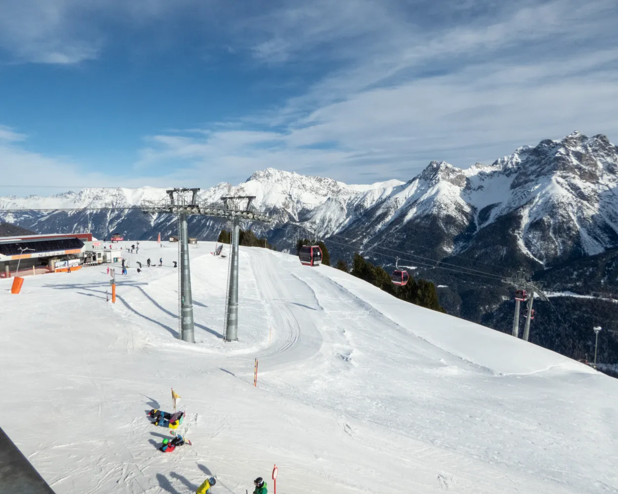
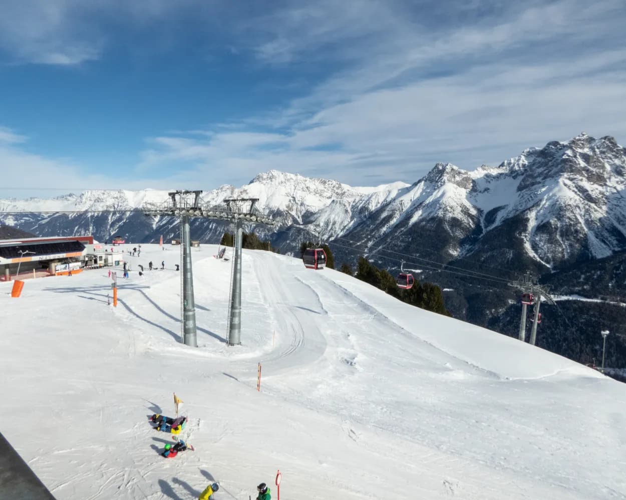
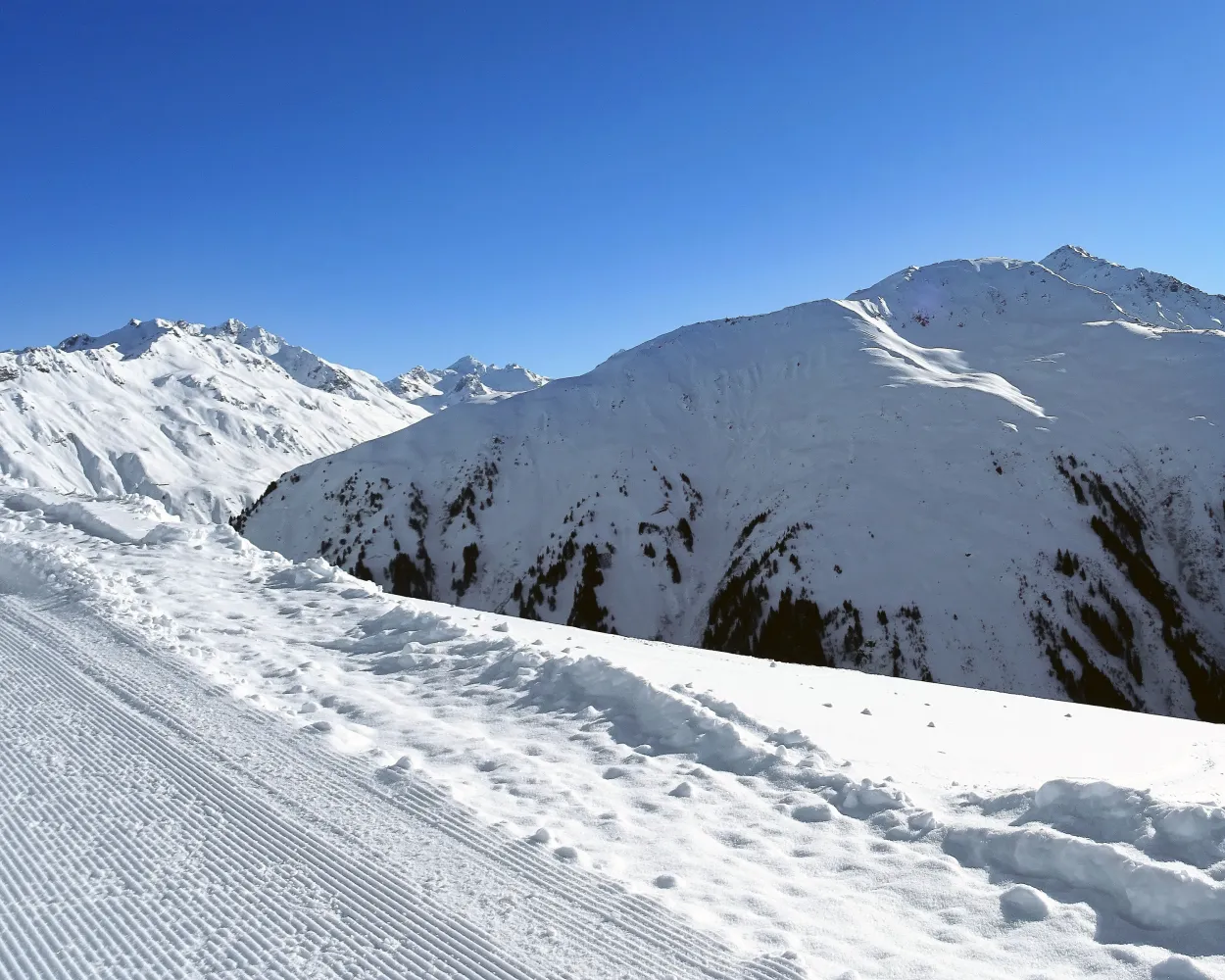
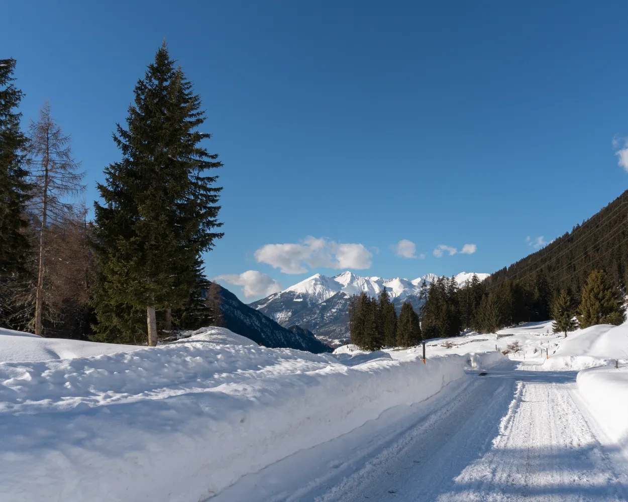
Alpine winter hike at over 2,000 m a.s.l.: in open countryside, alongside the «Traumpiste» and accompanied by a panoramic view of the Lower Engadine, this route links the Motta Naluns ski area to the Engadine village of Sent.
 11 km
11 km 300 m
300 m 1000 m
 4h 10m
Tour published by:
SwitzerlandMobility
Learn more on
schweizmobil.ch
| Scuol-Tarasp, staziun (09:30) | |
| 923 (11m) | |
| Sent, Sala (09:41) |
Easy and quiet winter hike between Susch and Lavin, two villages in the Lower Engadin. The path climbs gently through the forest to a clearing. At the end, it crosses open terrain and ultimately the Inn River on the way to the destination.
4 km140 m180 m1h 20mTour published by:
SwitzerlandMobility
Learn more on
schweizmobil.ch
| Scuol-Tarasp (08:33) | |
| R15 (17m) | |
| Lavin (08:50) |
What space. What light. What joy! The La Plaiv winter hiking trail is one of the most beautiful trails in the Engadin. Your gaze wanders across the wide open valley as the Inn river rushes past and skiers weave their way down the slopes above Zuoz.
13 km150 m220 m3h 50mTour published by:
SwitzerlandMobility
Learn more on
schweizmobil.ch
| Scuol-Tarasp (08:33) | |
| R15 (45m) | |
| Cinuos-chel-Brail (09:18) |
The vastness, the light – it’s simply incredible: On the way through the river landscape of the Upper Engadin, the vista sweeps across the broad valley with the Inn in the middle. The river’s restored sections are particularly appealing. They are the highlight of the winter hike from Samedan to La Punt.
7 km20 m40 m2h 5mTour published by:
SwitzerlandMobility
Learn more on
schweizmobil.ch
| Scuol-Tarasp (08:33) | |
| R15 (1h 1m) | |
| La Punt Chamues-ch (09:34) |
The well-maintained winter hiking route from the Saaseralp to the Zügenhüttli runs high up on Klosters’ sun-kissed local mountain, spectacular views over the Silvretta glacier before returning to Klosters.
4 km240 m240 m1h 40mTour published by:
SwitzerlandMobility
Learn more on
schweizmobil.ch
| Scuol-Tarasp (08:41) | |
| RE4 (52m) | |
| Klosters Dorf (09:33) |
| Klosters Dorf (Talst. Madrisa) (09:38) | |
| GB (15m) | |
| Madrisa (09:53) |
This is probably the most famous and popular winter hiking trail in the entire Prättigau. This wonderful scenic route connects the small villages of St. Antönien and Pany.
9 km380 m460 m3h 20mTour published by:
SwitzerlandMobility
Learn more on
schweizmobil.ch
| Scuol-Tarasp (08:41) | |
| RE4 (1h 6m) | |
| Küblis (09:47) |
| Küblis, Bahnhof (09:48) | |
| 222 (26m) | |
| St. Antönien, Platz (10:14) |
The region of Engadin St. Moritz owes much of its world-famous beauty to its unique lake plateau. And there is certainly something particularly poetic about a winter hike across these three frozen lakes.
17 km120 m80 m5h 40mTour published by:
SwitzerlandMobility
Learn more on
schweizmobil.ch
| Scuol-Tarasp (08:33) | |
| R15 (1h 10m) | |
| Samedan (09:43) |
| Samedan (09:48) | |
| IR38 (7m) | |
| St. Moritz (09:55) |
| St. Moritz, Bahnhof (10:01) | |
| 609 (6m) | |
| St. Moritz Bad, Via San Gian (10:07) |
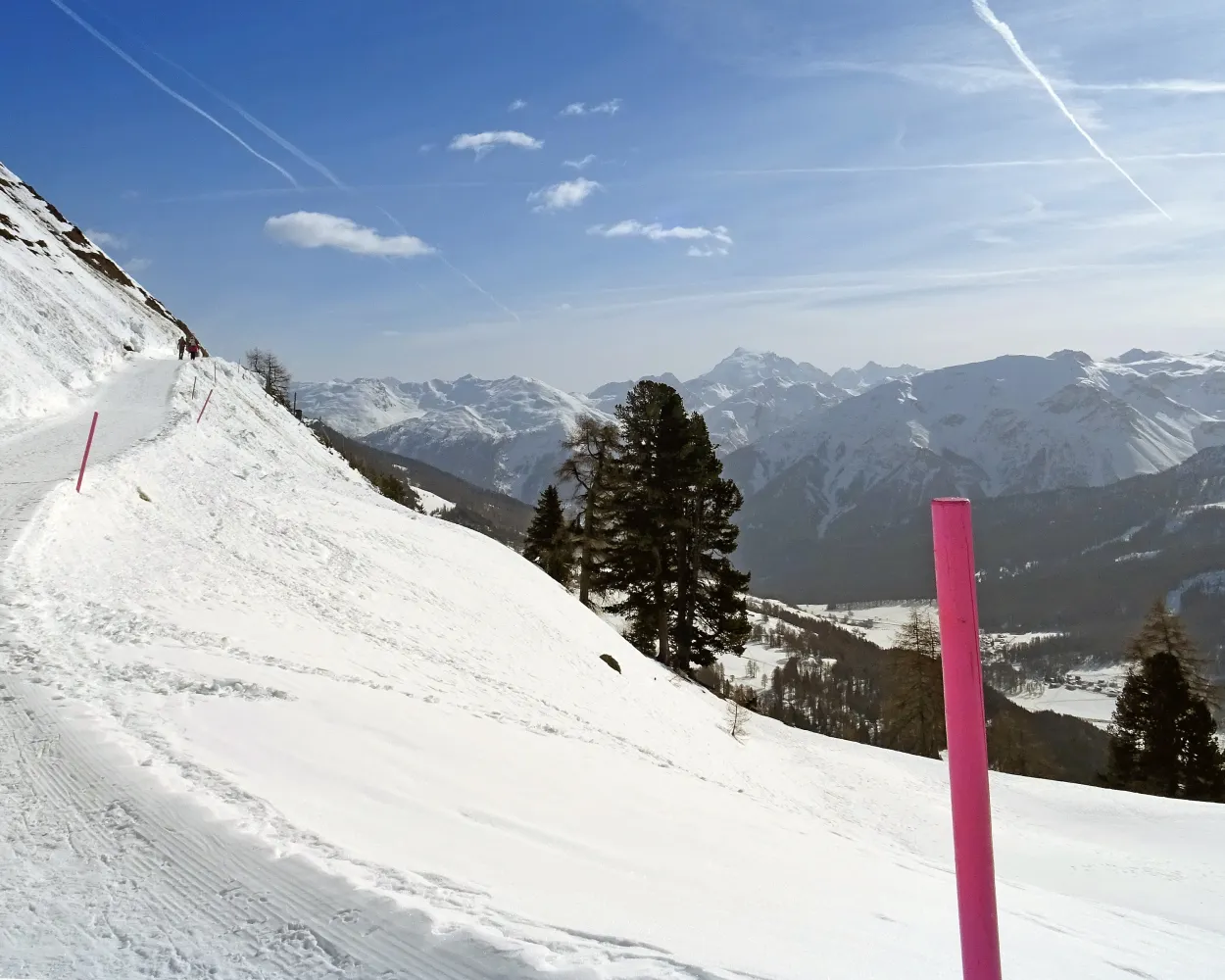
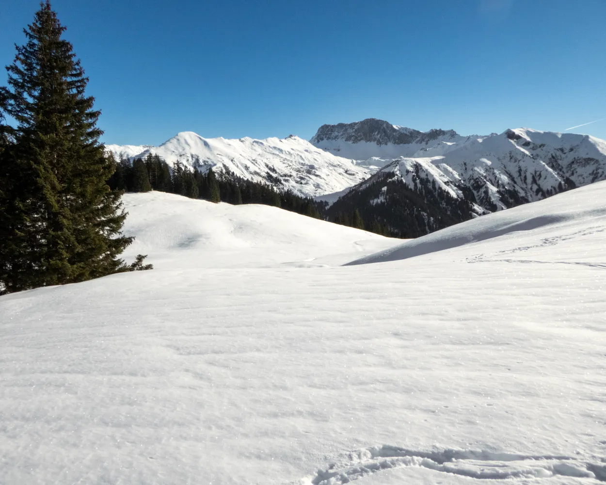
Bathed in sunshine the panoramic high route leads through the isolated and snow-clad landscape above the Val Müstair. Highlights: Alp Champatsch, whose original buildings now stand in the Swiss Open-Air Museum in Ballenberg, and the little village of Lü, claimed to be the darkest place in Switzerland.
7 km170 m360 m2h 15m
Landscape: With panoramic views,Through a Swiss Park
Tour published by:
SwitzerlandMobility
Learn more on
schweizmobil.ch
| Scuol-Tarasp (08:33) | |
| R15 (33m) | |
| Zernez (09:06) |
| Zernez, staziun (09:33) | |
| 811 (48m) | |
| Fuldera, cumün (10:21) |
| Fuldera, cumün (10:31) | |
| 832 (12m) | |
| Lü, cumün (10:43) |
A winter hiking route on the sunny hillside at Bergün. Take a gentle walk through snow-covered forests to the hamlet of Latsch, where the Heidi films were shot, and enjoy the views into the Albula Valley and of the striking Bergünerstöcke peaks.
6 km240 m240 m2h 5mLandscape: With panoramic views
Tour published by:
SwitzerlandMobility
Learn more on
schweizmobil.ch
| Scuol-Tarasp (08:33) | |
| R15 (1h 10m) | |
| Samedan (09:43) |
| Samedan (10:15) | |
| IR38 (31m) | |
| Bergün/Bravuogn (10:46) |
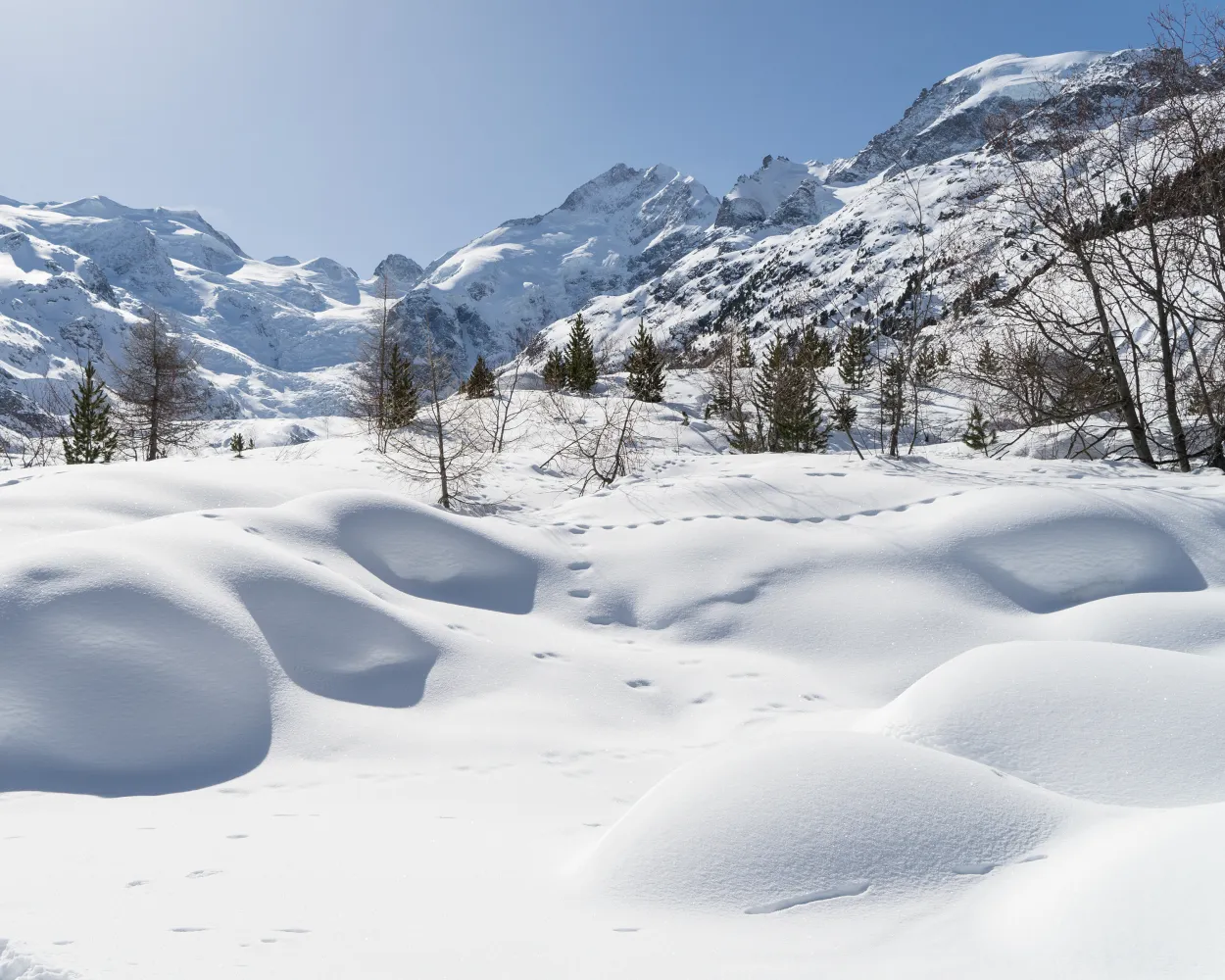
A short trail through thousands of years of the Earth’s history. The Morteratsch Glacier Trail takes hikers along an easy path directly to the glacier tongue of the third longest glacier in the eastern Alps. An educational trail provides information on this receding glacier.
7 km180 m180 m2h 10mTour published by:
SwitzerlandMobility
Learn more on
schweizmobil.ch
| Scuol-Tarasp (08:33) | |
| R15 (1h 10m) | |
| Samedan (09:43) |
| Samedan, Bahnhof (10:05) | |
| 701 (21m) | |
| Bernina Diavolezza, Bahnhof (10:26) |
| Bernina Diavolezza (10:34) | |
| RE9 (12m) | |
| Morteratsch (10:46) |


