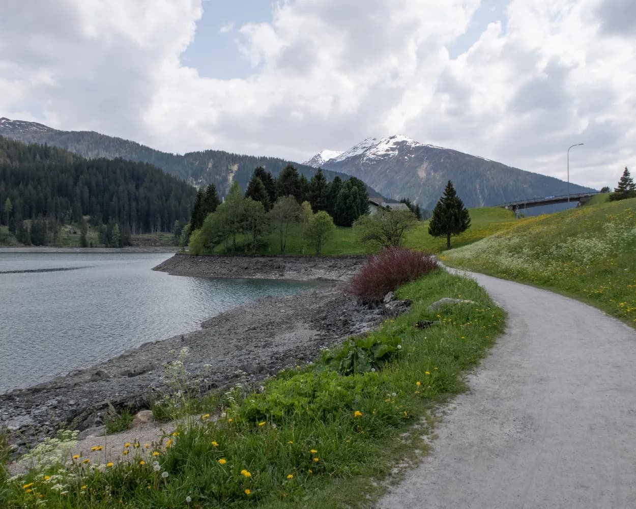
Discover a range of accessible adventures near Zernez, all reachable by public transport. From scenic riverside paths to tranquil lake circuits, these routes offer beautiful views of the Swiss Alps and lush valleys. Whether you're looking for a gentle stroll or a longer excursion, there's something for everyone to enjoy the natural beauty of the region without barriers.
The following destinations are sorted by travel time from Zernez, making it easy to plan your next accessible outing. Check out the map to explore thousands of destinations and activities, reachable from any starting point in Switzerland.
Much more on ovunta.com/en/map
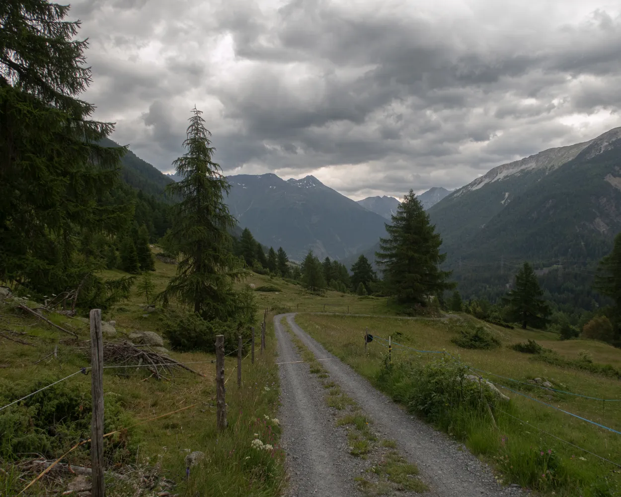
You cross over the border from the Lower Engadine to the Upper Engadine in the wild Val Punt Ota. Narrow paths run along the slope through coniferous forests and across wide pastures. The view sweeps across the valley and the mountain peaks of the national park. Solid stone walls, round arches and ornate facades catch the eye in Zuoz.
 19 km
19 km 660 m
660 m 900 m
900 m 5h 25m
Tour published by:
SwitzerlandMobility
Learn more on
schweizmobil.ch
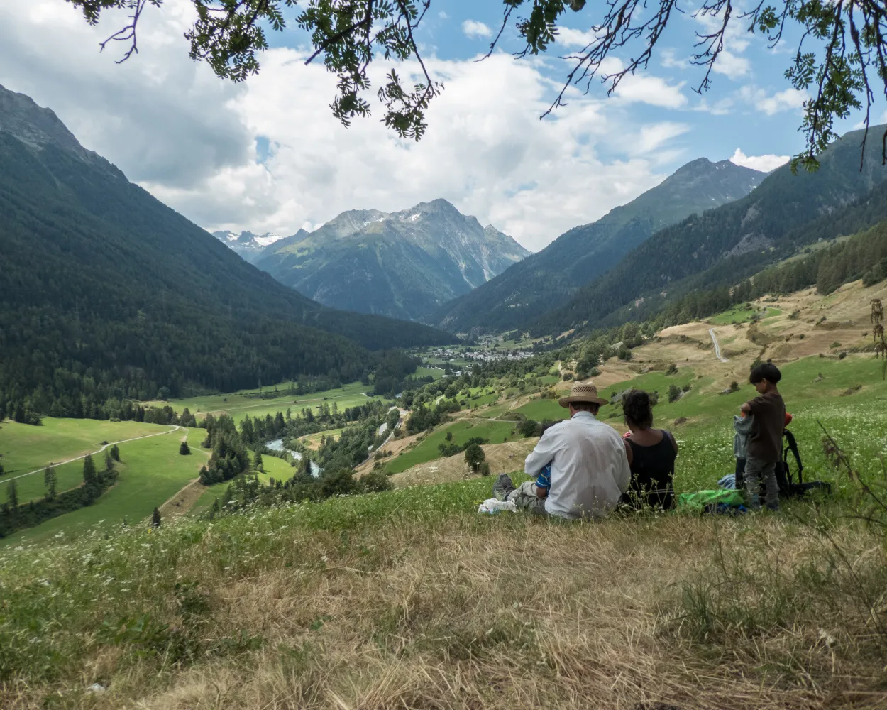
The hike leads from the car-free Schellen-Ursli village of Guarda to the gateway to the Swiss National Park at Zernez. The trail runs south along the Inn River across the valley floor and over wooded slopes. Ornate churches, beautiful wooden bridges, mossy rocks, and icy caves tell of the history of the Lower Engadine.
16 km480 m660 m4h 25m
Landscape: Along the water
Tour published by:
SwitzerlandMobility
Learn more on
schweizmobil.ch
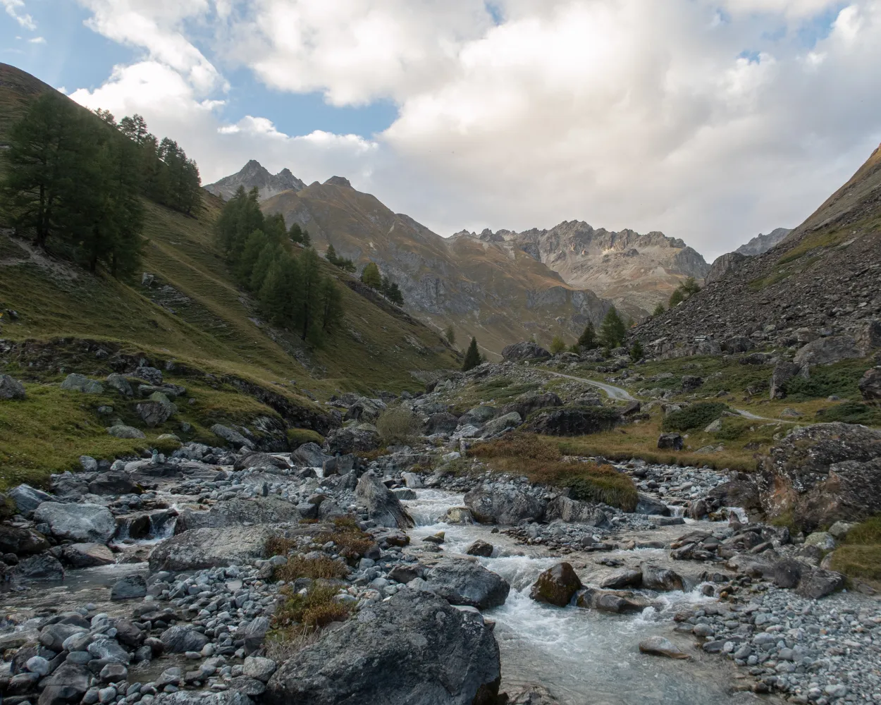
Classic high-altitude trail from the Upper to the Lower Engadine. On the sunny side of the valley along the river Inn, you cross typical Engadine villages, pine and larch forests, crystal-clear streams and lush alpine meadows. The panorama: the gleaming glaciers of the Bernina group and the Engadine Dolomites in the Swiss National Park.
165 km7900 m8600 mLandscape: Through a Swiss Park
Tour published by:
SwitzerlandMobility
Learn more on
schweizmobil.ch

The trail to the 23 mountain lakes on the plateau of Macun leads to Munt Baselgia at 2,945 m. Ibices live in the rocky landscape as well as chamois and marmots. The 360-degree views of the surrounding mountains are spectacular. A steep descent follows across scree slopes, meadows and through dense mountain forests.
21 km1550 m1600 m7h 45mLandscape: With panoramic views,Along the water
Tour published by:
SwitzerlandMobility
Learn more on
schweizmobil.ch
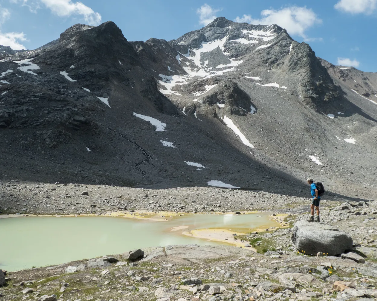
Experience 7 days of the pristine environment in the rugged canyons and on the steep mountain slopes in and around the Swiss National Park. At an altitude of 2,945 m, the trail leads along smugglers’ paths through tunnels in the rocks. Dense mountain forests, expansive Alpine pastures and the vibrant colours of mountain lakes and Alpine flowers are a delight to see.
105 km7300 m7000 mLandscape: With panoramic views,Through a Swiss Park
Tour published by:
SwitzerlandMobility
Learn more on
schweizmobil.ch
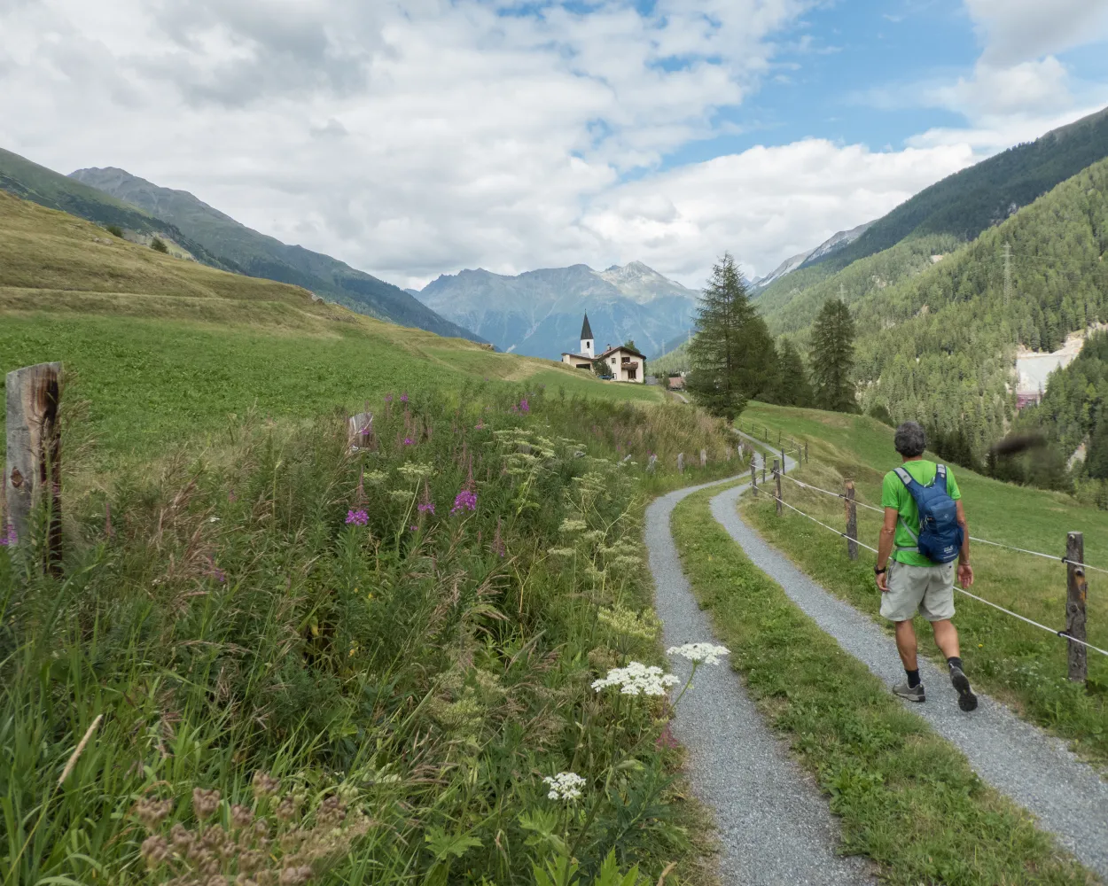
The short and relatively flat hike leads from the gateway to the Swiss National Park in Zernez upstream along the Inn. The border to the Upper Engadine is crossed at the little church of Punt Ota and the bridge of the same name. Pastures and mountain streams, wooded slopes and the diversity of Alpine flora will enrich your hike.
10 km320 m180 m2h 35mLandscape: Along the water
Tour published by:
SwitzerlandMobility
Learn more on
schweizmobil.ch
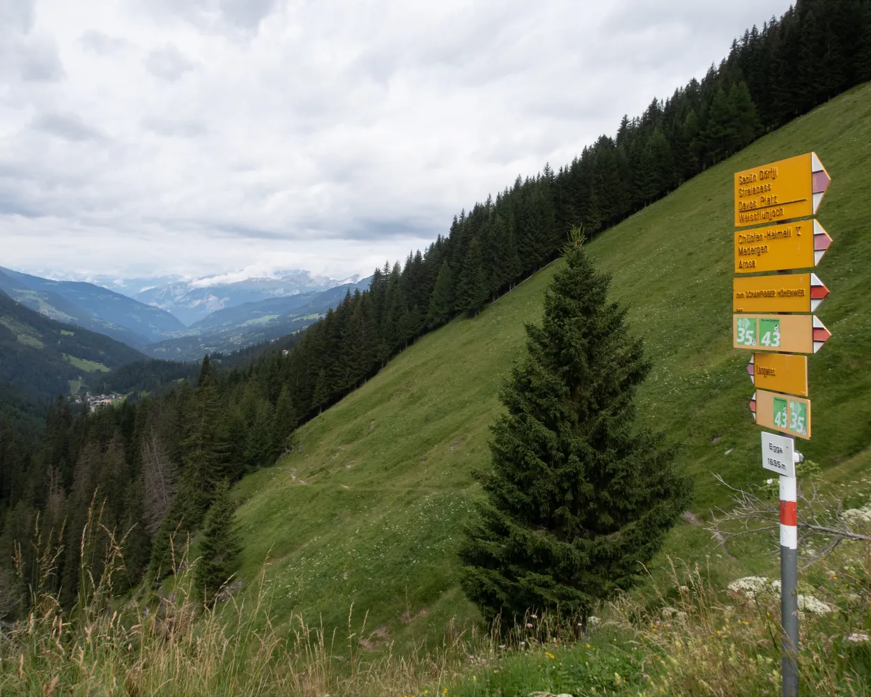
Scenic pass and valley landscapes on the Jakobsweg route through multifaceted Graubünden. Cultural and historical signs of the Santiago pilgrim’s path – and stunning scenery inviting one to reflect on own values and the beauty of nature.
260 km11100 m10300 mLandscape: Over a pass,With panoramic views
Tour published by:
SwitzerlandMobility
Learn more on
schweizmobil.ch
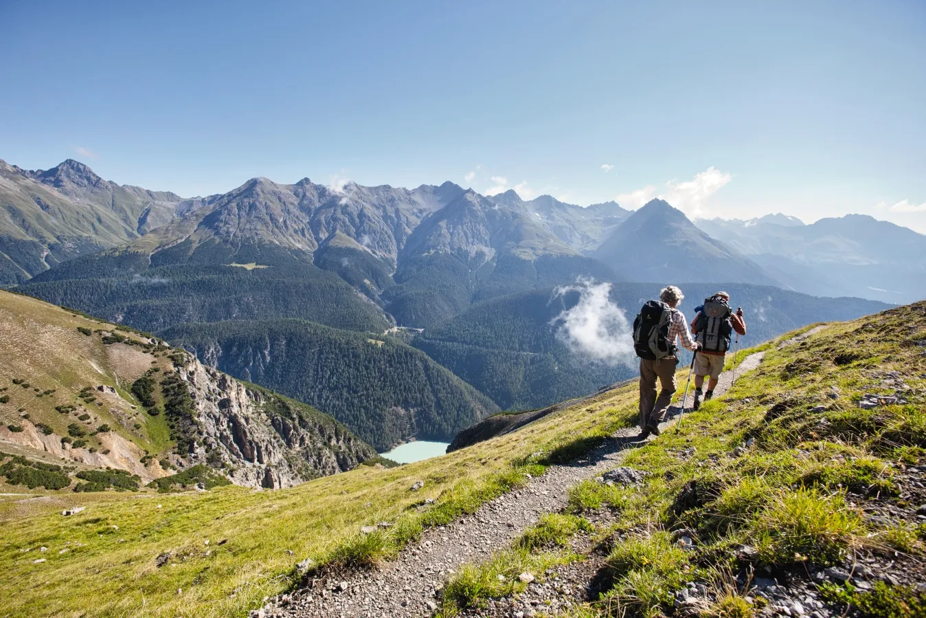
Through beautiful stone pine forests and across wild scree gullies in rugged Val Cluozza on the way to Piz Murtaröl. The views from the ridge of Piz Terza in the east and the crevasses and peaks of the National Park in the south are incredible, and abundant wildlife can be spotted on the steep slopes.
14 km900 m1350 m5h 25mLandscape: With panoramic views,Through a Swiss Park,Onto a mountain peak
Tour published by:
SwitzerlandMobility
Learn more on
schweizmobil.ch
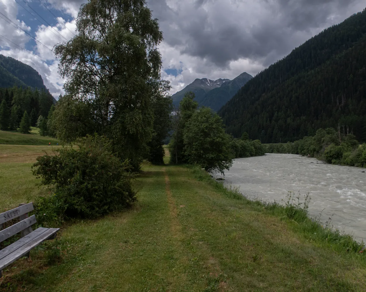
The leisurely hike proceeds alongside the ice-blue Inn River in the narrow valley bottom. The river winds through the Lower Engadine between huge mountain ranges. On tapered paths, past rock faces and through old coniferous forests, you will come across the ruins of Rohan Castle and the former execution site of Fuorcha.
12 km440 m480 m3h 25mTour published by:
SwitzerlandMobility
Learn more on
schweizmobil.ch
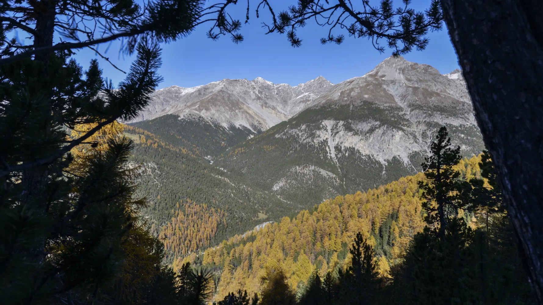
The Champlönch-Il Fuorn route is the ideal tour as an introduction to the Swiss National Park. Thanks to its interactive kids trail it is also ideal for families. The highlight is the cute marmots at Alp Grimmels.
6 km300 m340 m1h 55mLandscape: Through a Swiss Park
Tour published by:
SwitzerlandMobility
Learn more on
schweizmobil.ch
| 811 (9m) | |



