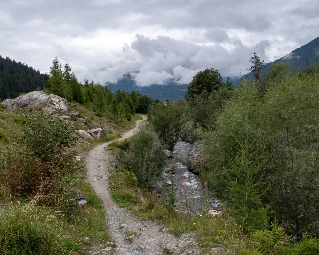
Discover a world of alpine wonders accessible by public transport from Klosters. From historic Walser settlements to panoramic ridge walks, these routes offer diverse experiences for hikers of all levels. Traverse lush valleys, conquer mountain passes, and immerse yourself in the natural beauty of the Swiss Alps, with options ranging from gentle walks to challenging treks.
The following hikes and trails are arranged by travel time from Klosters, making it easy to plan your next mountain adventure. Check out the map to explore thousands of destinations and activities, reachable from any starting point in Switzerland.
Much more on ovunta.com/en/map
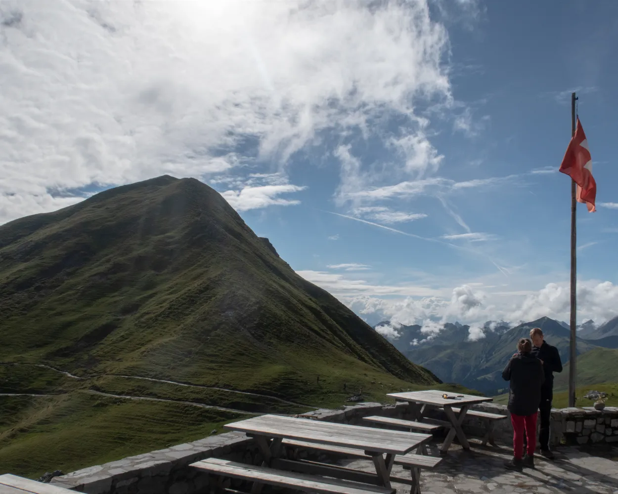
The Prättigauer Höhenweg (high-level trail) is certainly worthy of the name: a hike along contours, on one side the sight of the Rätikon sandstone, on the other side changing views, wide and deep down. As a finale, pure summit pleasure on the Jägglischhorn.
 77 km
77 km 4600 m
 3900 m
Landscape: With panoramic views
Tour published by:
SwitzerlandMobility
Learn more on
schweizmobil.ch
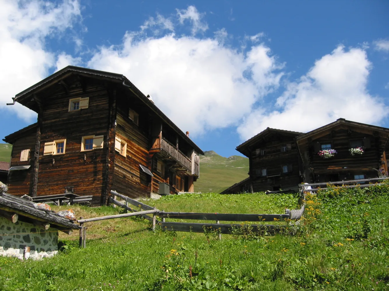
The hike from Langwies to Klosters is demanding but the reward is unspoilt cultural landscapes and vast alpine areas. For an insight into the life of the Walser farmers, we recommend a visit to the Nutli Hüschi local history museum.
23 km1100 m1350 m 7h 10m
Landscape: Onto a mountain peak,Onto an alp
Tour published by:
SwitzerlandMobility
Learn more on
schweizmobil.ch
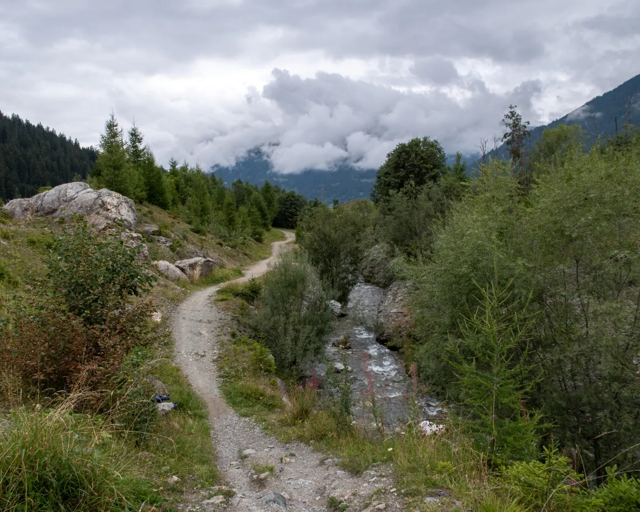
Route between former Walser settlements and today’s famous tourist destinations of Klosters and Davos, over the Wolfgang Pass. Visit to Kirchner Art Museum in Davos.
18 km700 m800 m5h 25mLandscape: Onto an alp,Over a pass,With panoramic views
Tour published by:
SwitzerlandMobility
Learn more on
schweizmobil.ch
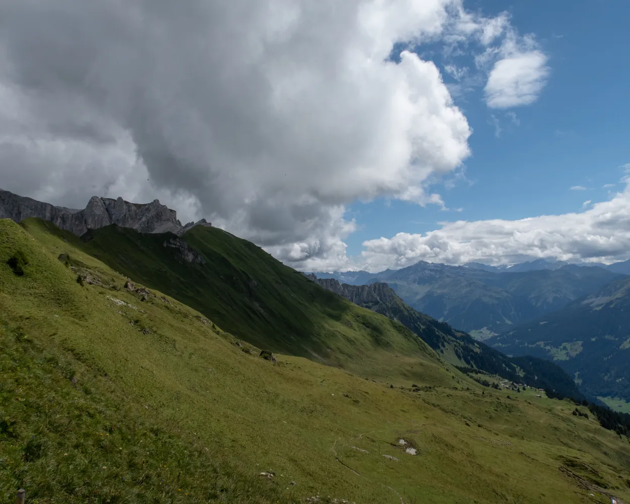
Past individual farmsteads, the route follows the Alpbach stream up to the Jägglisch Horn. At an altitude of 2,257 metres, the view extends across the Rätikon and the Prättigauer Höhenweg. The following traverse leads past the Madrisa Land theme park and Schlappintobel down to Klosters.
23 km1400 m1600 m8h 0mTour published by:
SwitzerlandMobility
Learn more on
schweizmobil.ch
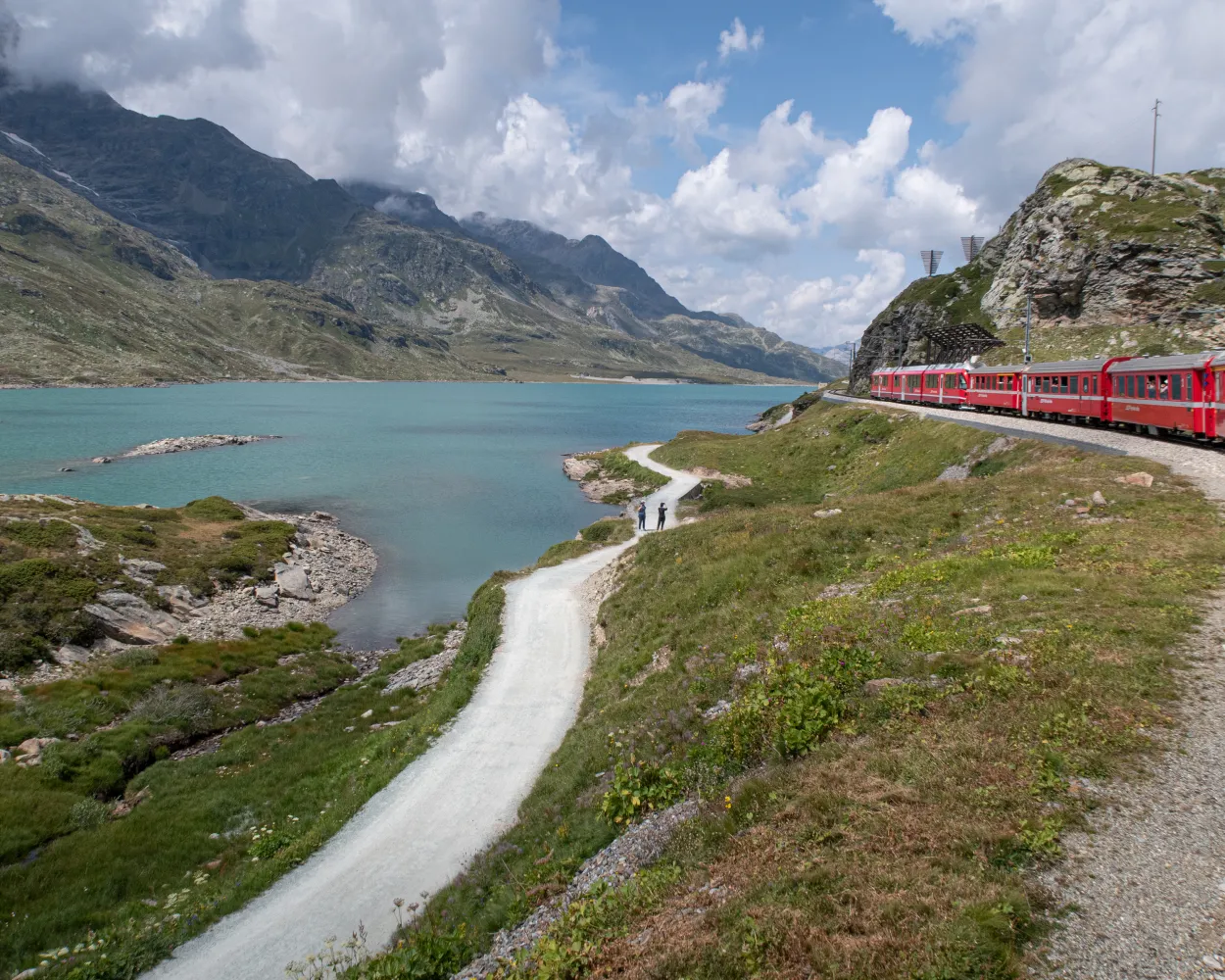
Wine from Veltlin has been imported to Graubunden and Voralberg for hundreds of years. One of the pack-mule routes led from Veltlin via Davos into Montafon. The historic route has been revived as the ViaValtellina, an attractive long-distance hiking route.
135 km7000 m8000 mLandscape: With panoramic views
Tour published by:
SwitzerlandMobility
Learn more on
schweizmobil.ch

The Walserweg Graubünden follows the tracks of the Walsers in the high valleys of Graubunden in 19 one-day stages (total 300 km). The route leads along historic trails through breathtaking nature and intact cultivated landscapes. Hikers gain insights into the culture and history of the Walser folk.
320 km19600 m20200 mLandscape: Onto an alp,With panoramic views,Over a pass
Tour published by:
SwitzerlandMobility
Learn more on
schweizmobil.ch
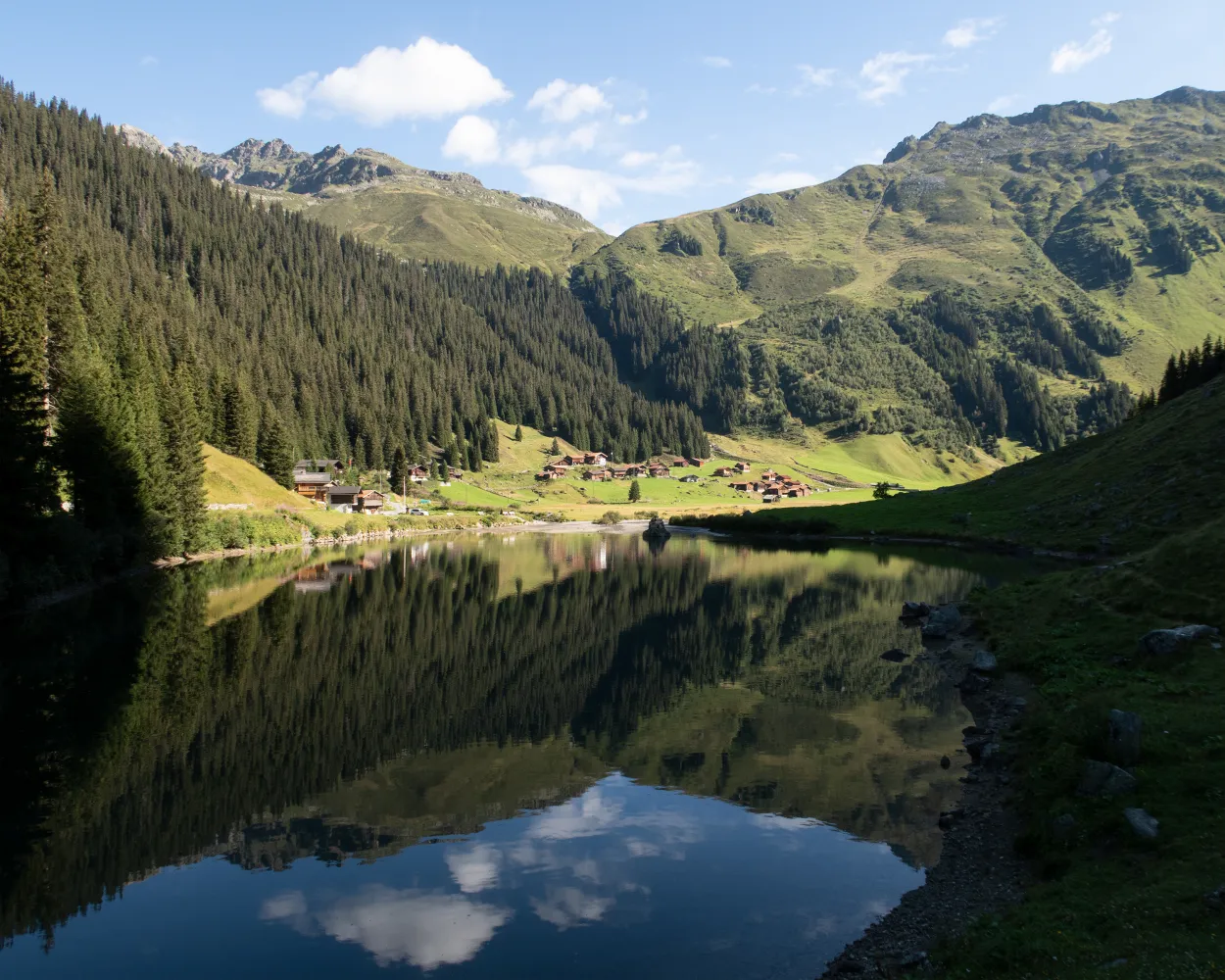
A steep ascent leads up the Schlappintobel and through the forest into the Saas Alpine region. On the Rätschenjoch, sweeping views open up to the north and south. Scattered settlements are reminders that the Walser people cultivated inhospitable and remote areas in the late Middle Ages.
21 km1600 m1300 m8h 0mLandscape: With panoramic views,Over a pass,Onto an alp
Tour published by:
SwitzerlandMobility
Learn more on
schweizmobil.ch
| RE13 (2m) | |
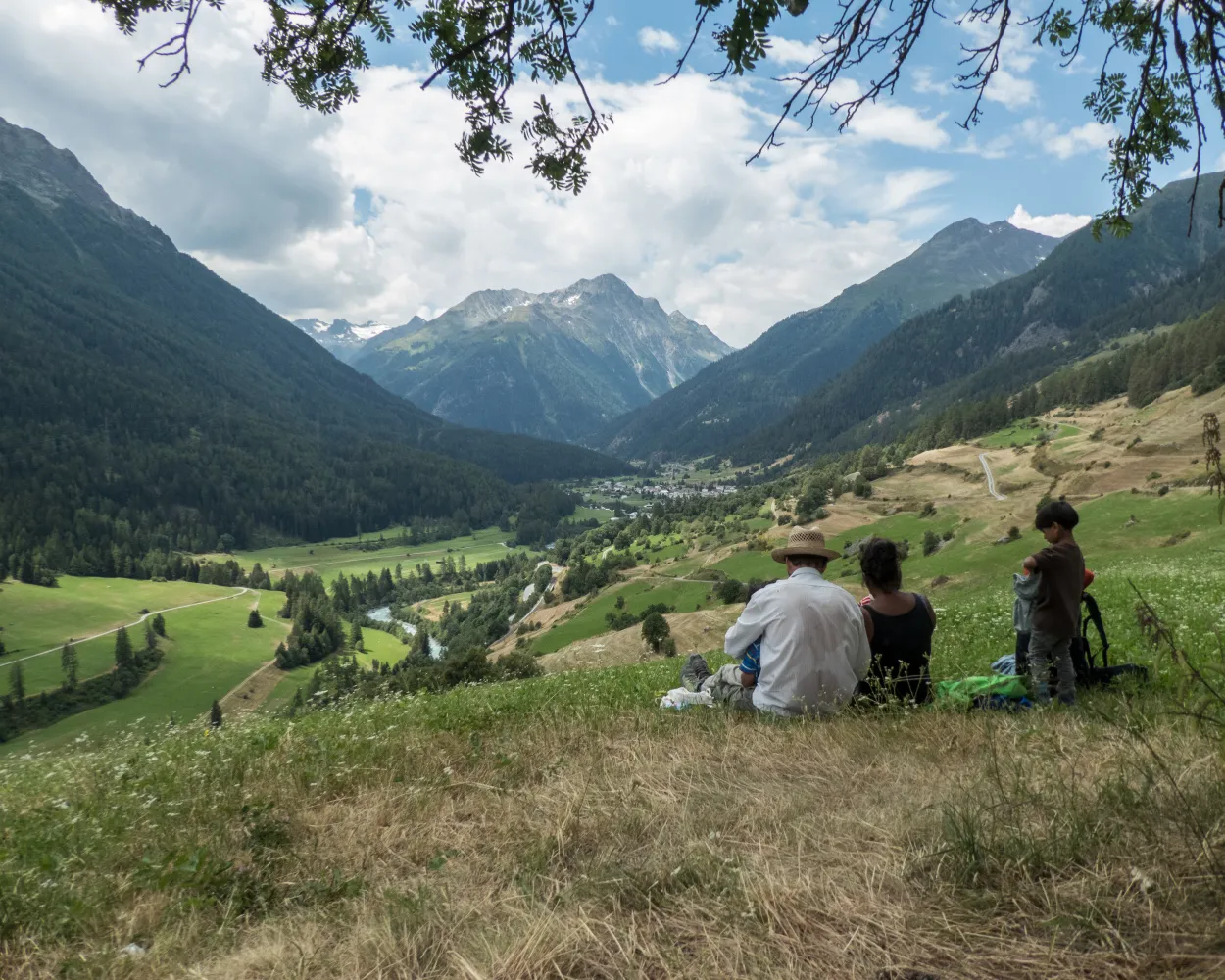
The hike leads from the car-free Schellen-Ursli village of Guarda to the gateway to the Swiss National Park at Zernez. The trail runs south along the Inn River across the valley floor and over wooded slopes. Ornate churches, beautiful wooden bridges, mossy rocks, and icy caves tell of the history of the Lower Engadine.
16 km480 m660 m4h 25mLandscape: Along the water
Tour published by:
SwitzerlandMobility
Learn more on
schweizmobil.ch
| RE3 (17m) | |
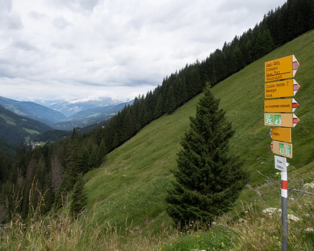
Scenic pass and valley landscapes on the Jakobsweg route through multifaceted Graubünden. Cultural and historical signs of the Santiago pilgrim’s path – and stunning scenery inviting one to reflect on own values and the beauty of nature.
260 km11100 m10300 mLandscape: With panoramic views,Over a pass
Tour published by:
SwitzerlandMobility
Learn more on
schweizmobil.ch
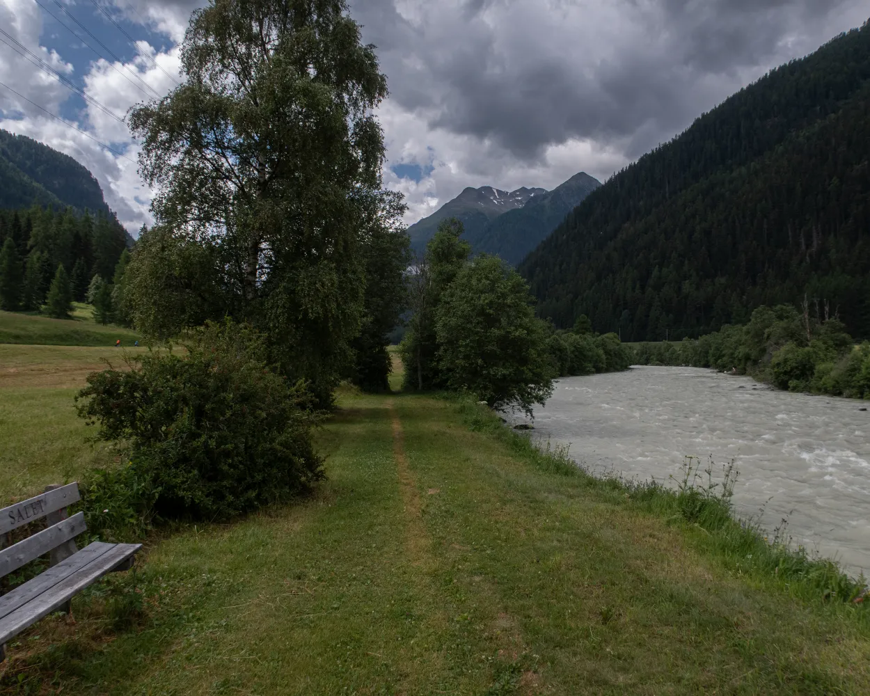
The leisurely hike proceeds alongside the ice-blue Inn River in the narrow valley bottom. The river winds through the Lower Engadine between huge mountain ranges. On tapered paths, past rock faces and through old coniferous forests, you will come across the ruins of Rohan Castle and the former execution site of Fuorcha.
12 km440 m480 m3h 25mTour published by:
SwitzerlandMobility
Learn more on
schweizmobil.ch



