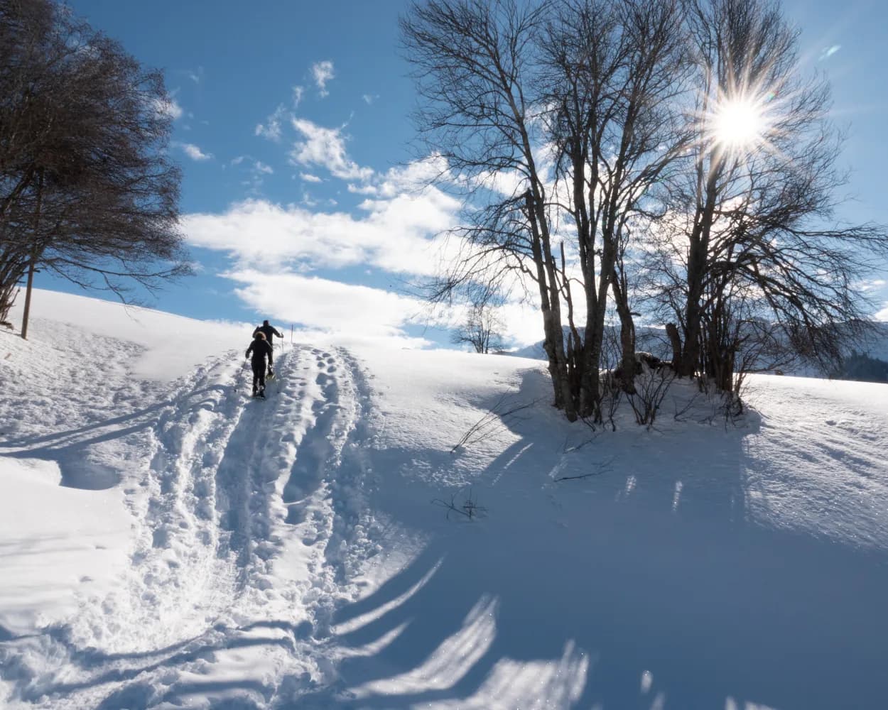
Discover a winter wonderland on these snowshoe hikes, all easily reachable from Klosters by public transport. Snow-covered forests, wide alpine plateaus, and scenic routes offer memorable experiences in the heart of the Alps.
To make planning easier, the hikes below are sorted by travel time from Klosters. Explore the map to find all snowshoe hikes and thousands of other outdoor activities accessible from anywhere in Switzerland.
Much more on ovunta.com/en/map
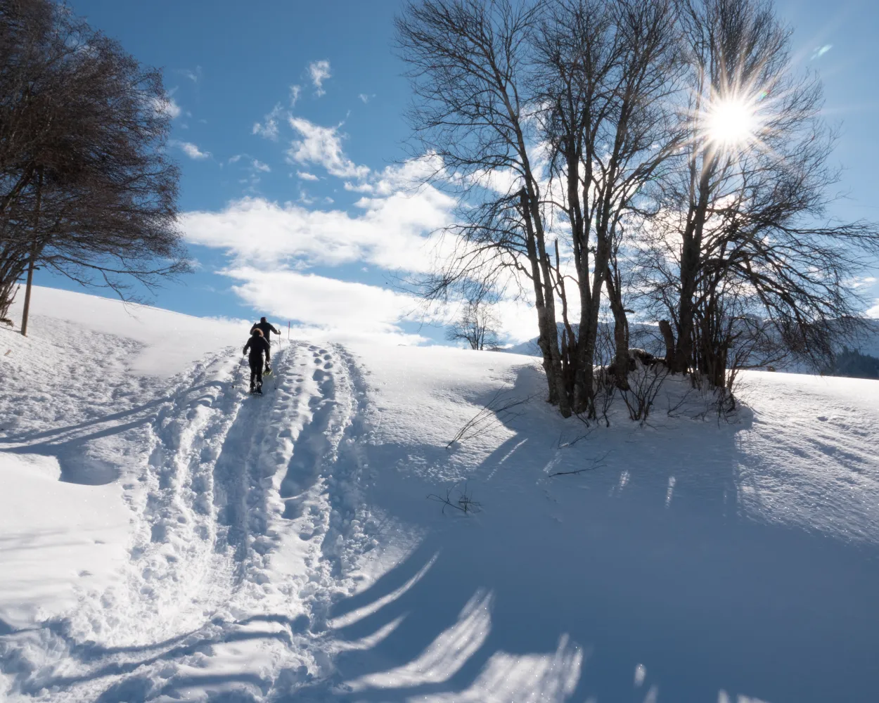
Hiking through snow-covered fields up to the Alpenrösli mountain restaurant and back to Klosters Platz. This beautiful snowshoe hike with gorgeous views is a treat both for the eyes and for the palate.
 4 km
4 km 320 m
320 m 320 m
320 m 2h 20m
Landscape: With panoramic views,Onto an alp
Tour published by:
SwitzerlandMobility
Learn more on
schweizmobil.ch
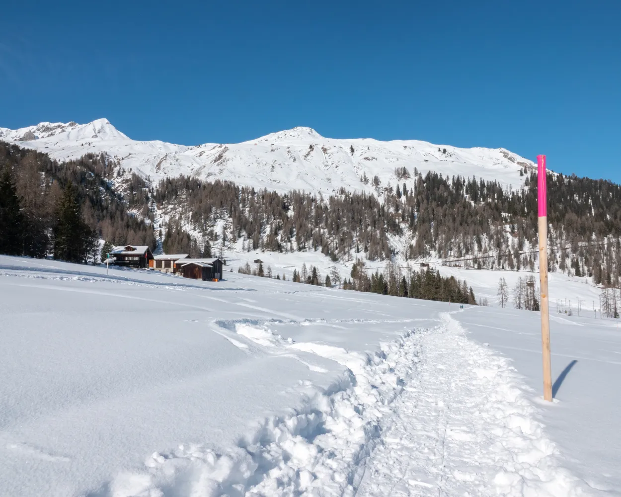
Hiking through the deep snow and revelling in the winter sun. The trail starts on Wolfgang Pass and leads through picturesque Arelenwald. Surrounded by pine trees you enjoy fantastic views across the valley. Return via Ober Laret to the top of the pass where the tour ends.
4 km160 m160 m1h 35mLandscape: With panoramic views,Over a pass,Onto an alp
Tour published by:
SwitzerlandMobility
Learn more on
schweizmobil.ch
| RE2 (20m) | |
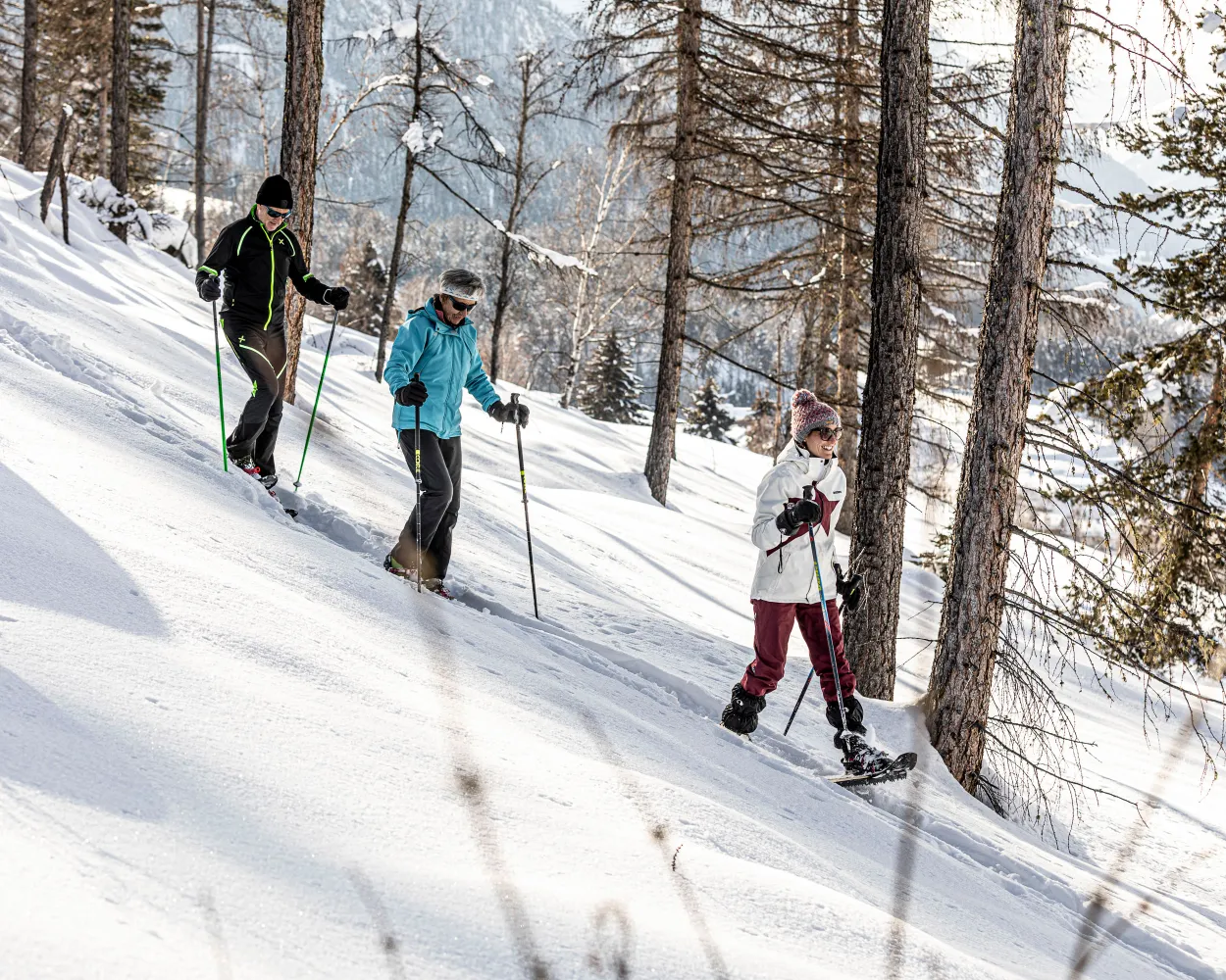
Snowshoe tour starting in Lavin, right on the Inn River. The trail climbs through the lovely forests of the Engadin, enters the side valley and crosses the Aua da Zeznina creek. Beautiful Alp Zeznina is your interim destination before you return to the valley.
8 km440 m440 m3h 50mLandscape: Onto an alp,With panoramic views
Tour published by:
SwitzerlandMobility
Learn more on
schweizmobil.ch
| RE4 (23m) | |
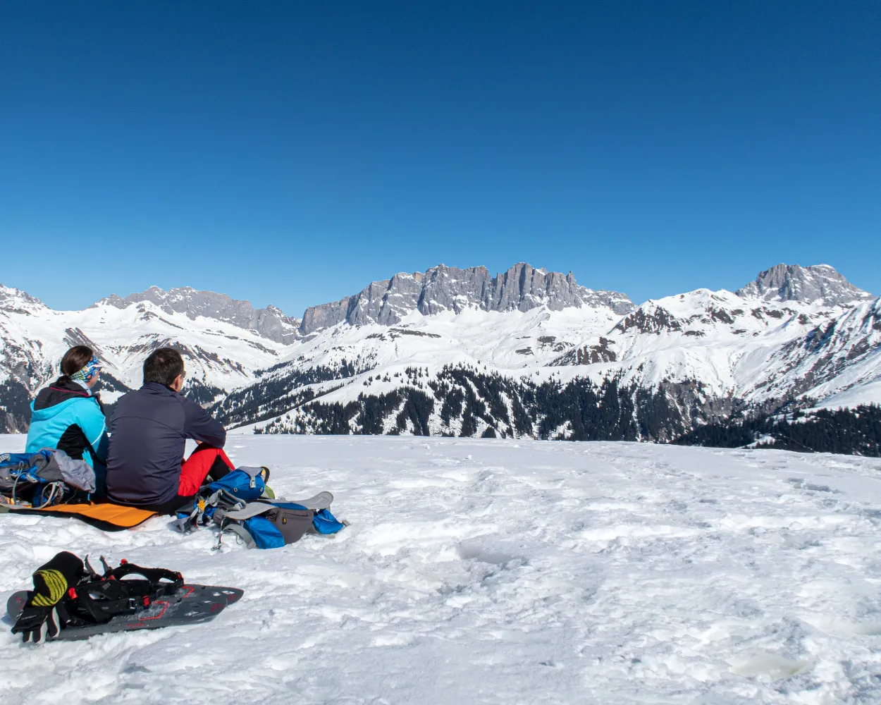
A varied snowshoe trail from Mount Stelserberg via Gafäll, with its astounding panorama of the Rätikon chain – known as the Graubünden Dolomites. The destination of this stage: the idyllic Walser village of St. Antönien.
9 km620 m680 m5h 0mLandscape: Onto a mountain peak,With panoramic views
Tour published by:
SwitzerlandMobility
Learn more on
schweizmobil.ch
| RE13 (17m) | |
| 222 (25m) | |
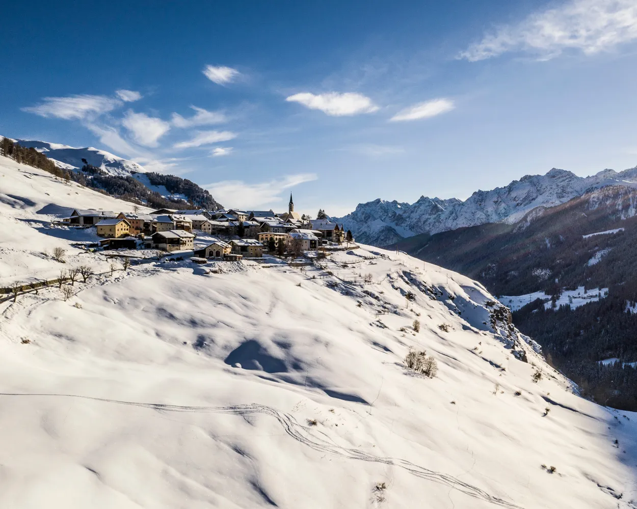
A beautiful snowshoe tour above Guarda – Schellen-Ursli's village – with its richly decorated Engadine houses. This circular route takes you across open terrain and some stretches of forest up to the viewing pulpit at Alp Sura.
5 km460 m460 m3h 10mTour published by:
SwitzerlandMobility
Learn more on
schweizmobil.ch
| RE4 (30m) | |
| 851 (8m) | |
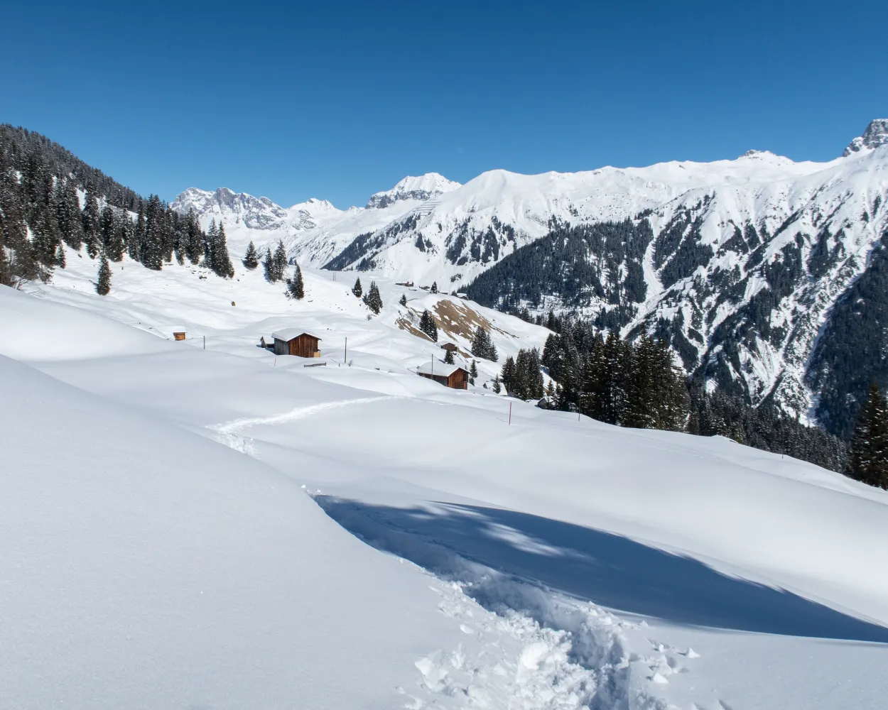
Lovely countryside alternating with wide-open snowfields and stretches of sparse forest are the features of this circular tour in the popular Pany snowshoe trekking area – and plenty of cosy mountain inns invite you to take a break.
8 km440 m540 m4h 10mTour published by:
SwitzerlandMobility
Learn more on
schweizmobil.ch
| RE24 (29m) | |
| 218 (29m) | |
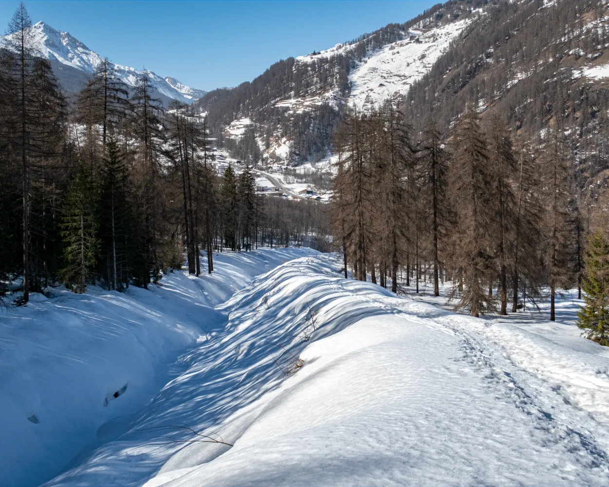
Unspoilt nature in Val Müstair: up and down but with no major gradients, this comfortable snowshoe trail takes you through sparse forests, along the snowy Rom stream and across wetlands, broad meadows and grazing land. Your view along the way: the wide valley, pretty hamlets and the Val Müstair mountains.
11 km280 m540 m4h 20mTour published by:
SwitzerlandMobility
Learn more on
schweizmobil.ch
| RE3 (26m) | |
| 811 (43m) | |
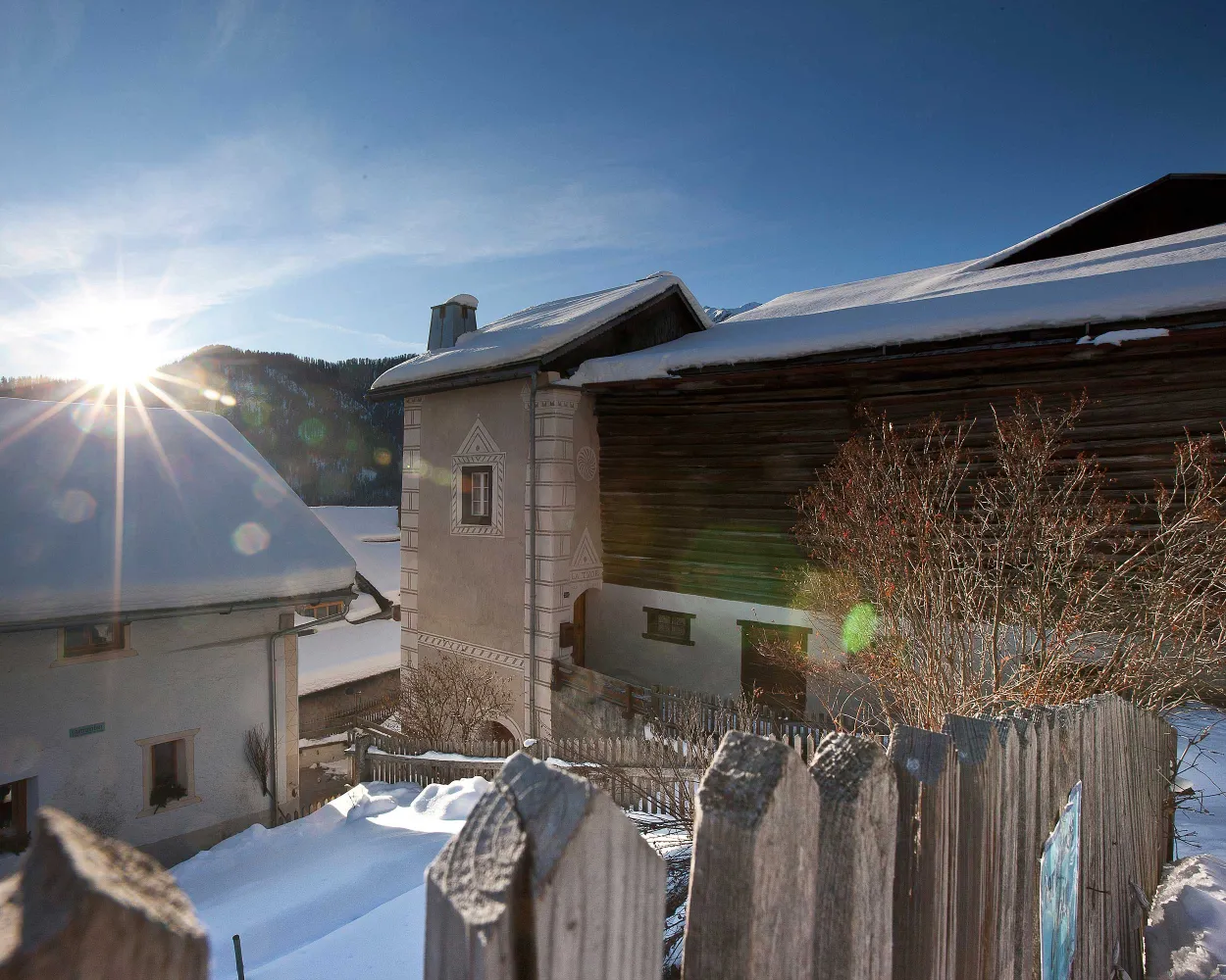
On the sunny slopes high above the Inn valley the snowshoe route, which is fairly steep at the outset, leads through open country from Ramosch to Vna, and then back again through woodland.
8 km600 m600 m4h 25mLandscape: With panoramic views,Onto an alp
Tour published by:
SwitzerlandMobility
Learn more on
schweizmobil.ch
| RE4 (43m) | |
| 921 (14m) | |
| 931 (2m) | |
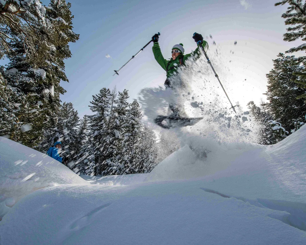
Between Pontresina and Celerina this signposted snowshoe trail takes you through the enchanting, snowy Forest of Staz and across moorland clearings covered in deep snow.
4 km110 m70 m1h 30mTour published by:
SwitzerlandMobility
Learn more on
schweizmobil.ch
| RE4 (20m) | |
| R15 (56m) | |
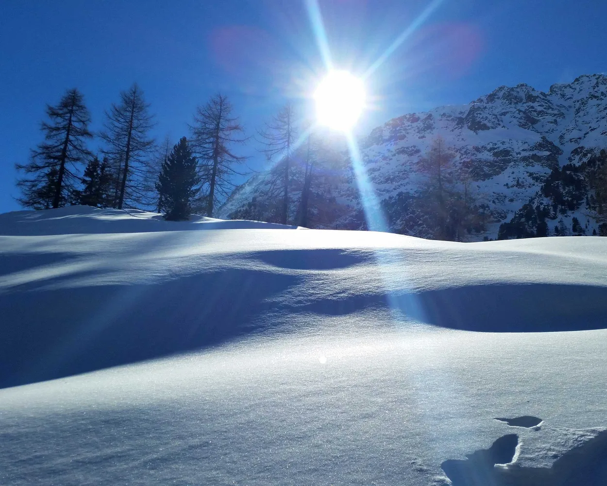
Snowshoe hike through the winter landscape around the small holiday resort of Preda along old muleteer paths, visit Switzerland’s most beautiful spot, the Lai da Palpuogna, and follow the trail through snowy pine forests.
5 km220 m220 m2h 5mLandscape: With panoramic views,Along the water
Tour published by:
SwitzerlandMobility
Learn more on
schweizmobil.ch
| RE3 (1h 4m) | |
| IR38 (20m) | |



