
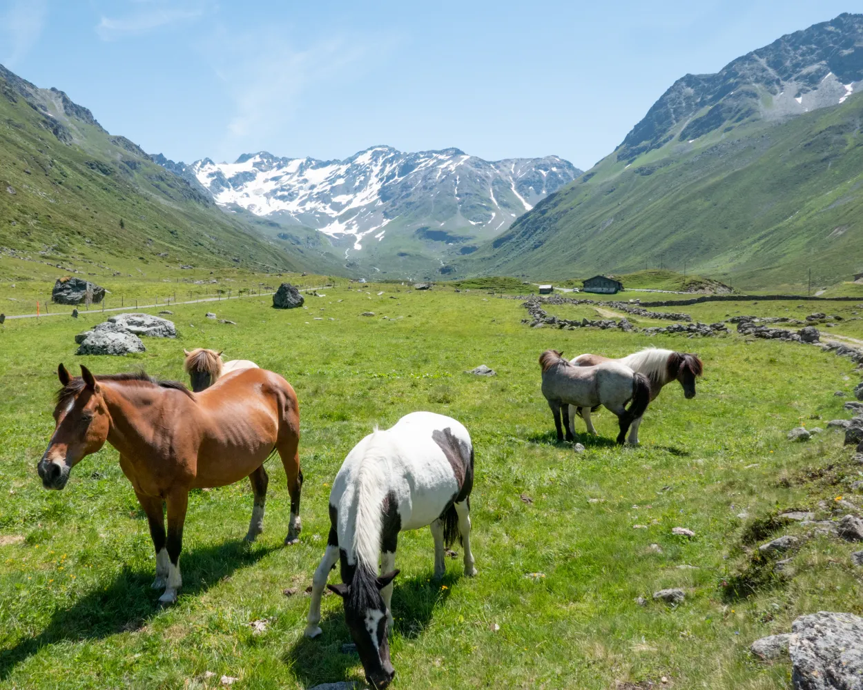
Discover a world of alpine beauty with these ten diverse hikes, all easily accessible by public transport from Davos. From historic Walser settlements to panoramic mountain peaks, each trail offers a unique perspective on the stunning Graubünden landscape. Whether you're looking for a challenging trek over mountain passes or a gentle walk through picturesque valleys, there's something for every hiker.
The hikes are conveniently sorted by travel time from Davos, making it easy to plan your next mountain adventure. Check out the map to explore thousands of destinations and activities, reachable from any starting point in Switzerland.
Much more on ovunta.com/en/map
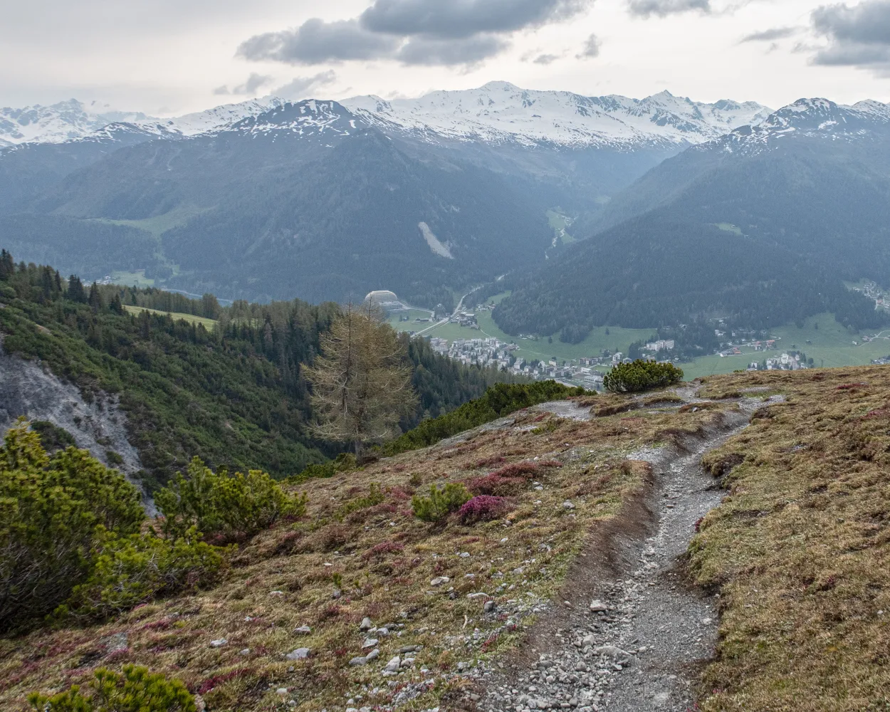
Route between former Walser settlements and today’s famous tourist destinations of Klosters and Davos, over the Wolfgang Pass. Visit to Kirchner Art Museum in Davos.
 18 km
18 km 700 m
700 m 800 m
800 m 5h 25m
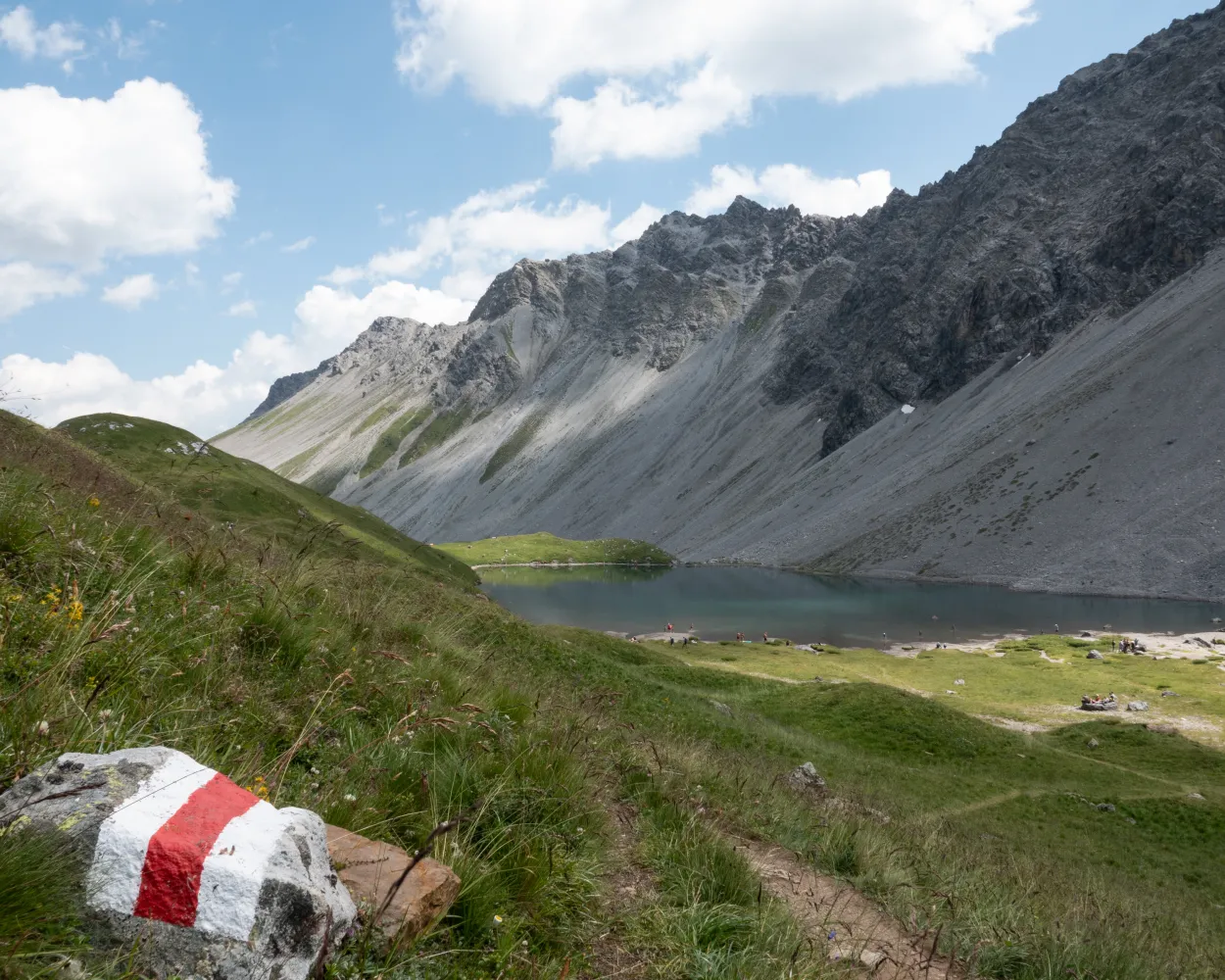
Landscape: Onto an alp,Over a pass,With panoramic views
Tour published by:
SwitzerlandMobility
Learn more on
schweizmobil.ch
| Davos Dorf, Bahnhof (08:32) | |
| 304 (2m) | |
| Davos Dorf, Stilli Park (08:34) |
Scenic pass and valley landscapes on the Jakobsweg route through multifaceted Graubünden. Cultural and historical signs of the Santiago pilgrim’s path – and stunning scenery inviting one to reflect on own values and the beauty of nature.
260 km11100 m10300 mLandscape: With panoramic views,Over a pass
Tour published by:
SwitzerlandMobility
Learn more on
schweizmobil.ch
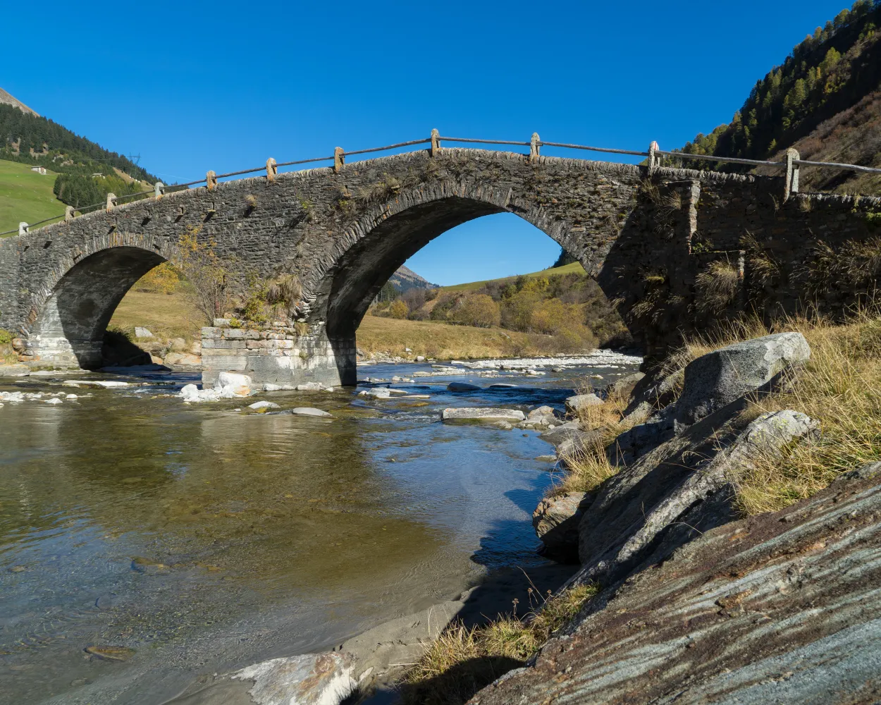
Wine from Veltlin has been imported to Graubunden and Voralberg for hundreds of years. One of the pack-mule routes led from Veltlin via Davos into Montafon. The historic route has been revived as the ViaValtellina, an attractive long-distance hiking route.
135 km7000 m8000 mLandscape: With panoramic views
Tour published by:
SwitzerlandMobility
Learn more on
schweizmobil.ch
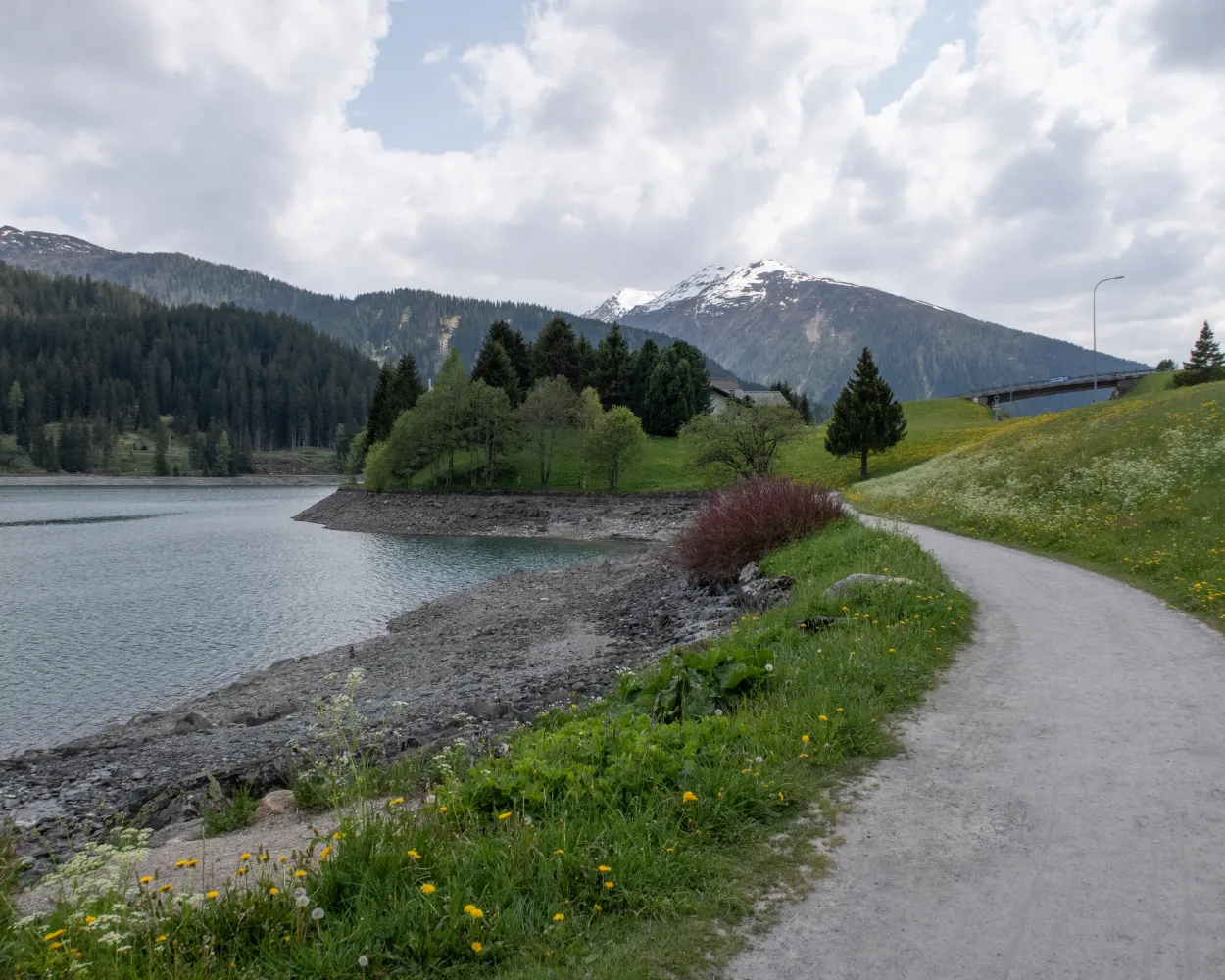
This easy circular route leads around the superb Davosersee lake, always with wonderful views of the water, the valley and the magnificent Graubunden mountains. A worthwhile visit for every nature lover.
5 km50 m50 m1h 20m
Barrier free: Yes
Landscape: Along the water
Tour published by:
SwitzerlandMobility
Learn more on
schweizmobil.ch
| Davos Dorf, Bahnhof (08:56) | |
| 301 (2m) | |
| Davos Dorf, Meierhöfe (08:58) |
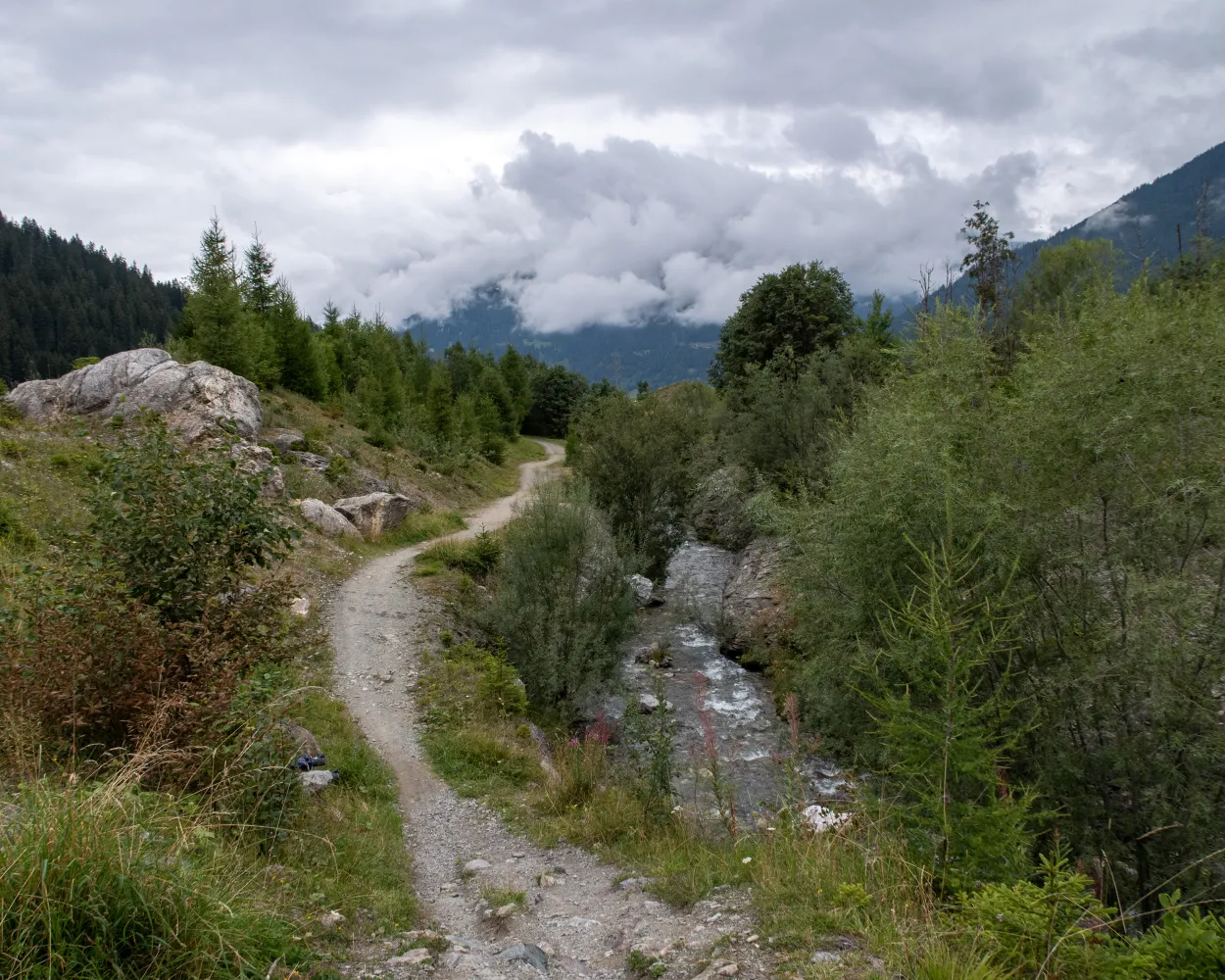
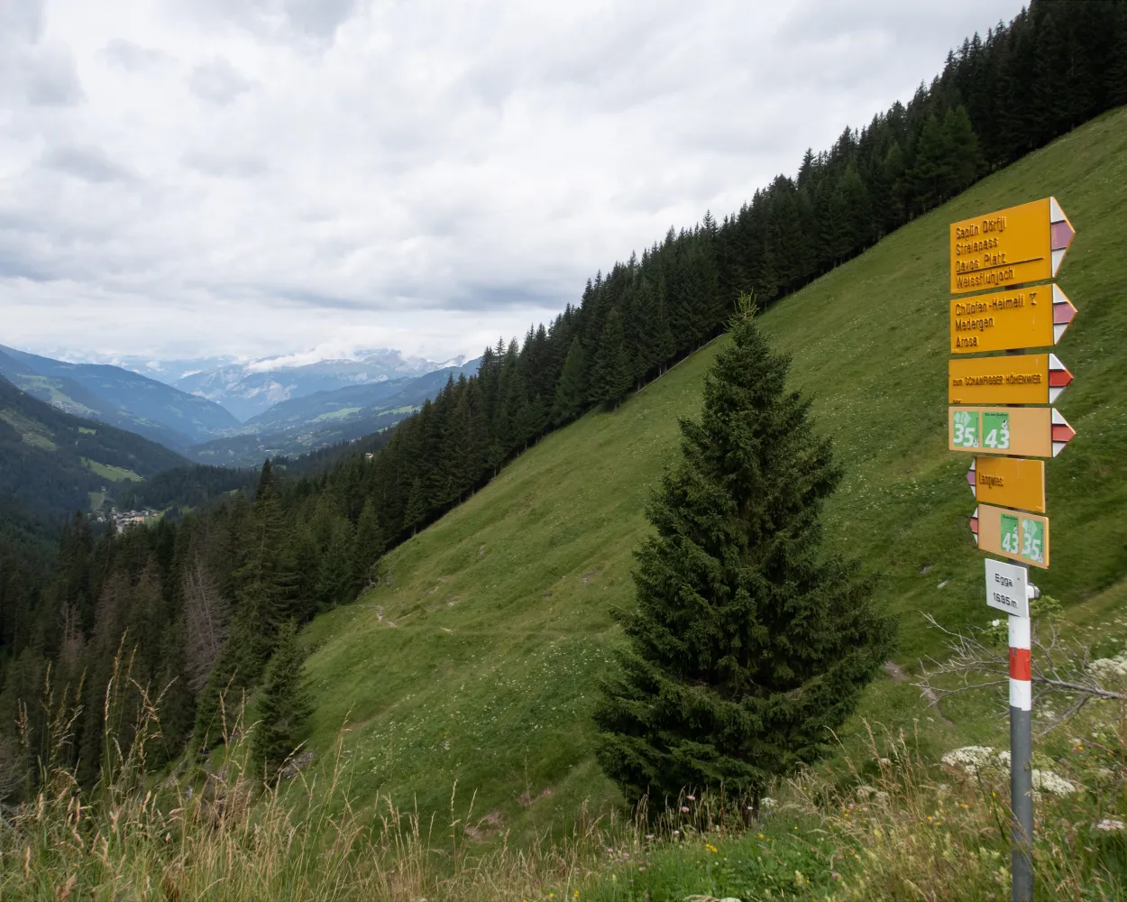
This stage starts in Davos Dorf and leads to Schatzalp first of all. From there, you continue across the historic Strela Pass, which was once settled by the Walser people. A challenging rocky descent leads down into the valley to the Walser settlement of Dörfji. The destination is the homely Grisons mountain village of Langwies.
14 km840 m1050 m5h 0mLandscape: With panoramic views,Over a pass,Onto an alp
Tour published by:
SwitzerlandMobility
Learn more on
schweizmobil.ch
| Davos Dorf, Bahnhof (08:39) | |
| 303 (2m) | |
| Davos Dorf, Dischmastrasse (08:41) |
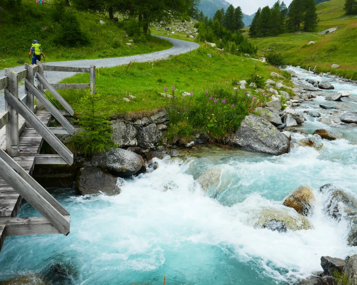
From lively Davos through the peaceful Dischma and Susauna valleys into theEngadine. Passing many impressions left by past trade-route days, the section leads through almost untouched landscapes over the Scaletta-Pass, the highest point of the ViaValtellina.
33 km1300 m1200 m9h 20mLandscape: Over a pass,Onto an alp
Tour published by:
SwitzerlandMobility
Learn more on
schweizmobil.ch
The Walserweg Graubünden follows the tracks of the Walsers in the high valleys of Graubunden in 19 one-day stages (total 300 km). The route leads along historic trails through breathtaking nature and intact cultivated landscapes. Hikers gain insights into the culture and history of the Walser folk.
320 km19600 m20200 mLandscape: Over a pass,With panoramic views,Onto an alp
Tour published by:
SwitzerlandMobility
Learn more on
schweizmobil.ch
Uphill through stone pine, larch and dwarf shrub on the Tällifurgga. Views of the early Walser farmstead-settlement of Clavadel. Rocks, water and Alpine vegetation in Rüedischtälli. Fences of natural stone on the alp of the same name. Walser scattered settlement in the Dischmatal valley.
16 km820 m1150 m5h 30mLandscape: With panoramic views,Onto an alp
Tour published by:
SwitzerlandMobility
Learn more on
schweizmobil.ch
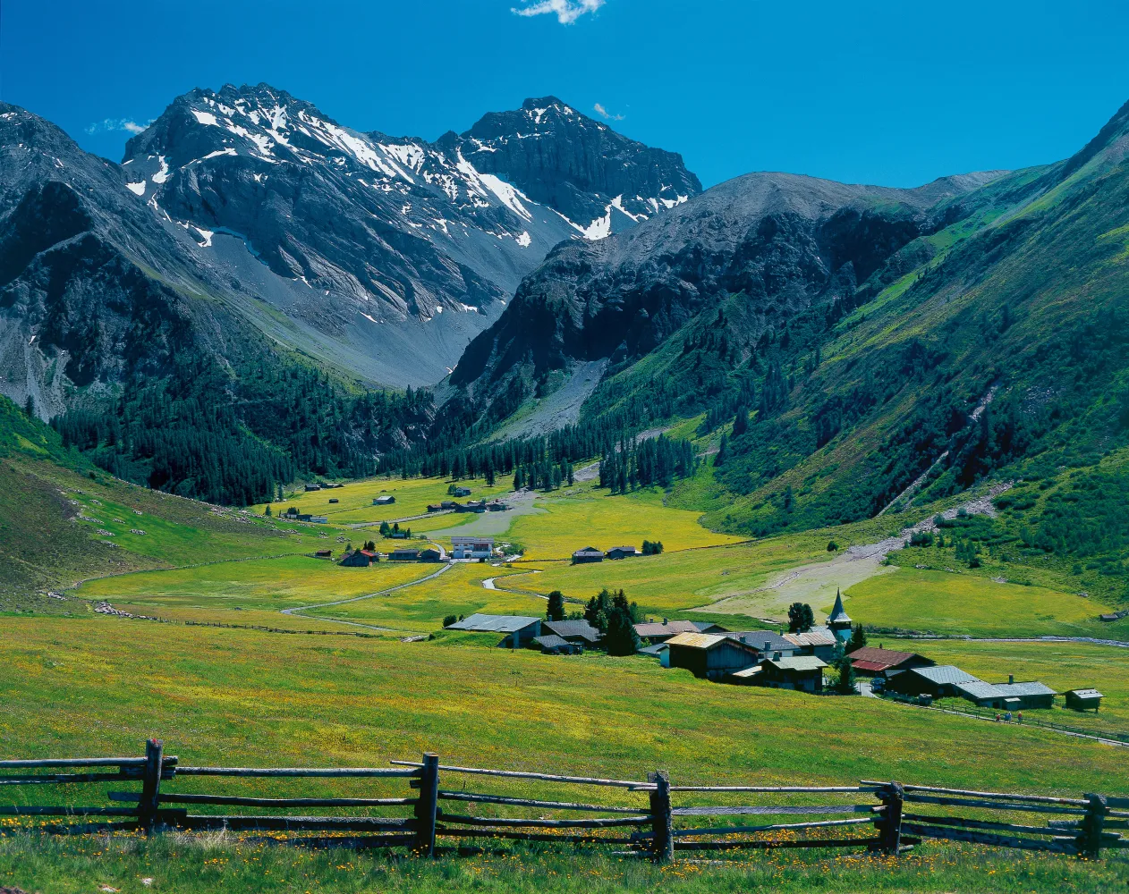
Dischma, the longest Davos side valley - with relaxing journey’s leg via Teufi along the Dischmabach stream and over grasslands. Pretty Maiensäss reminds one of the original landscapes of the Walser folk - where early summer sees carpets of flowers adorn the hiking path.
13 km70 m520 m3h 0mTour published by:
SwitzerlandMobility
Learn more on
schweizmobil.ch
| Davos Dorf, Bahnhof (08:40) | |
| 313 (5m) | |
| Davos Dorf, Duchli (08:45) |
This tour offers an interesting cross section from Lenzerheide through the Schanfigg to Davos. Geology takes priority on the first section, whilst the second follows the footsteps of the Walser settlers. And in the middle, the tourist resort of Arosa beckons.
41 km2600 m2500 mLandscape: With panoramic views
Tour published by:
SwitzerlandMobility
Learn more on
schweizmobil.ch
| Davos Dorf, Bahnhof (08:39) | |
| 303 (9m) | |
| Davos Platz, Postplatz (08:48) |


