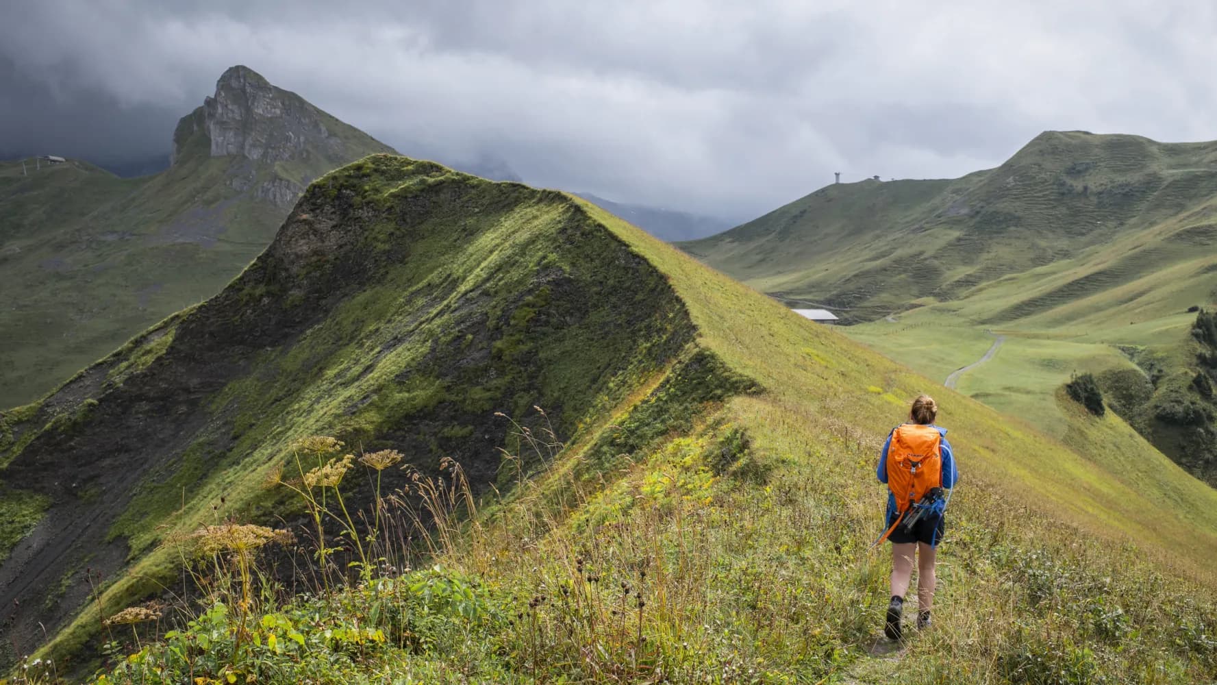
Discover a variety of breathtaking hikes accessible by public transport from Lenk. From the picturesque Via Alpina trail to the stunning Siebenbrunnen waterfalls, these routes showcase the natural beauty of the Simmental valley. Explore alpine meadows, cross mountain passes, and enjoy panoramic views of the surrounding peaks, including the impressive Wildstrubel massif.
The following hikes are sorted by travel time from Lenk, allowing you to easily plan your adventure based on your schedule and preferences. Check out the map to explore thousands of destinations and activities, reachable from any starting point in Switzerland.
Much more on ovunta.com/en/map
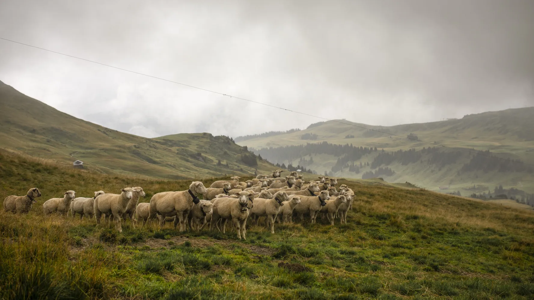
From Lenk via the Wallegggraben, up into lynx territory, through a damp, eroded limestone region with far-reaching views. Over the Trüttlisbergpass and through the long Turbachtal valley with its varied history down to the sophistication of Gstaad.
 22 km
22 km 1150 m
 1200 m
 7h 0m
7h 0m
Landscape: Along the water,Over a pass,With panoramic views
Tour published by:
SwitzerlandMobility
Learn more on
schweizmobil.ch
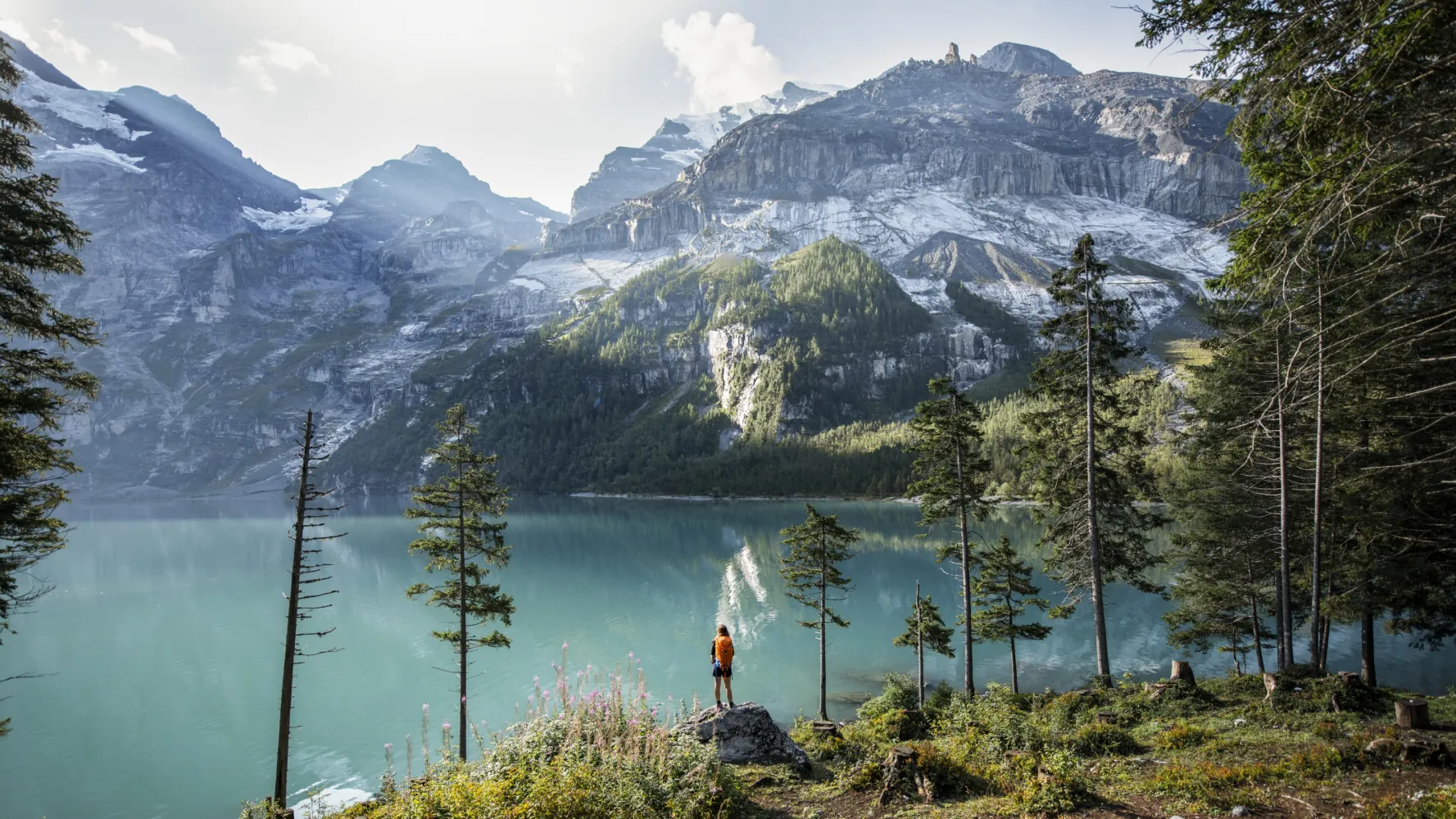
The Via Alpina crosses 14 of the most beautiful Alpine passes. Straight through seven Swiss cantons with a vast variety of culture, geology and topography. Wide roads end in high ridge trails. The route is lined with one of the world’s most diverse variety of flora and fauna.
390 km23500 m24800 mLandscape: With panoramic views,Over a pass,Onto a mountain peak
Tour published by:
SwitzerlandMobility
Learn more on
schweizmobil.ch
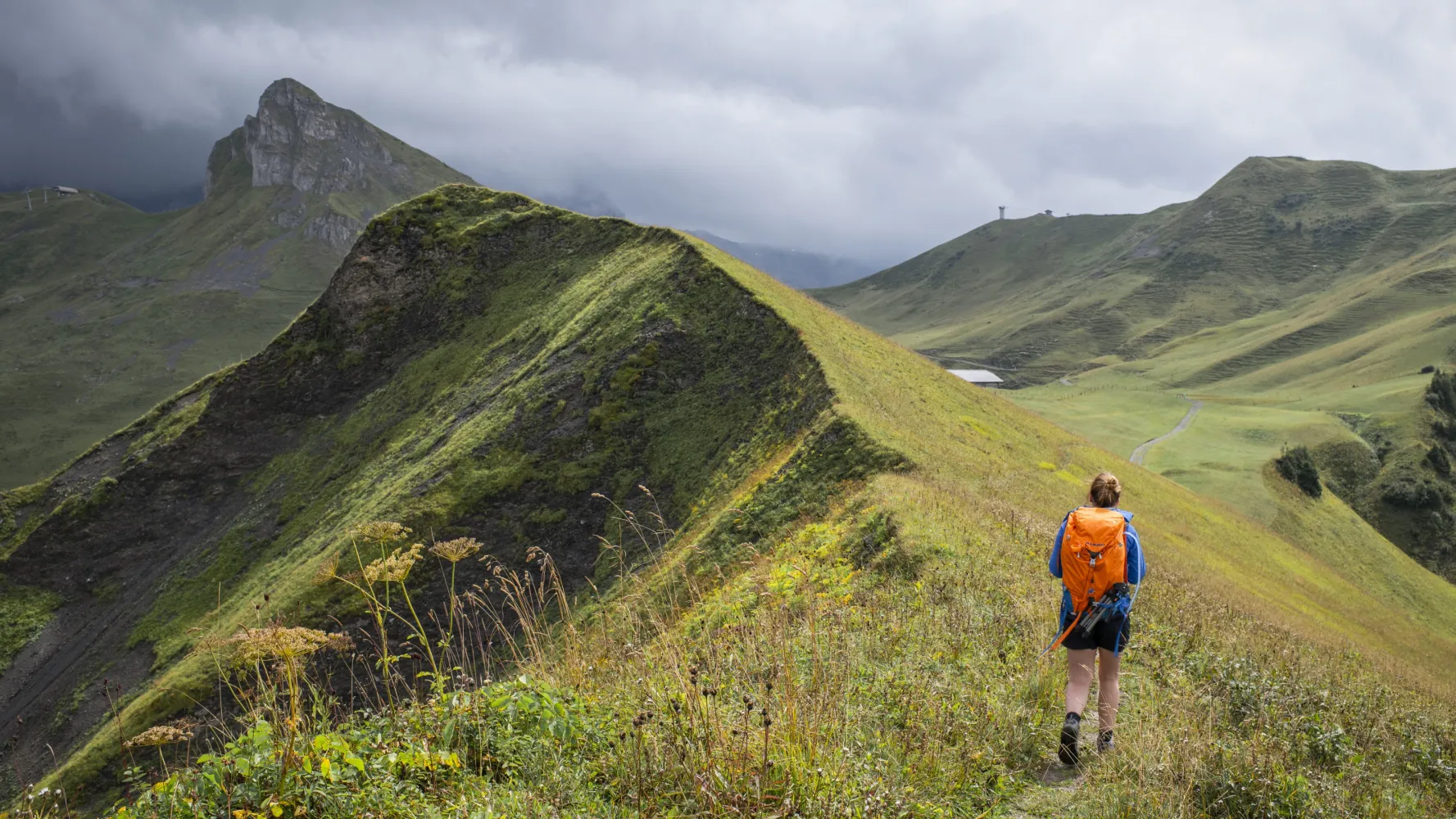
Gentle climb alongside the Glisbach stream, through forest and moorland, over the Hahnenmoospass, then down to Lenk, superbly set in the Hinter Simmental basin, with spectacular waterfalls and the perfect backdrop of the Wildstrubel massif.
14 km700 m1000 m4h 30mLandscape: With panoramic views,Over a pass
Tour published by:
SwitzerlandMobility
Learn more on
schweizmobil.ch
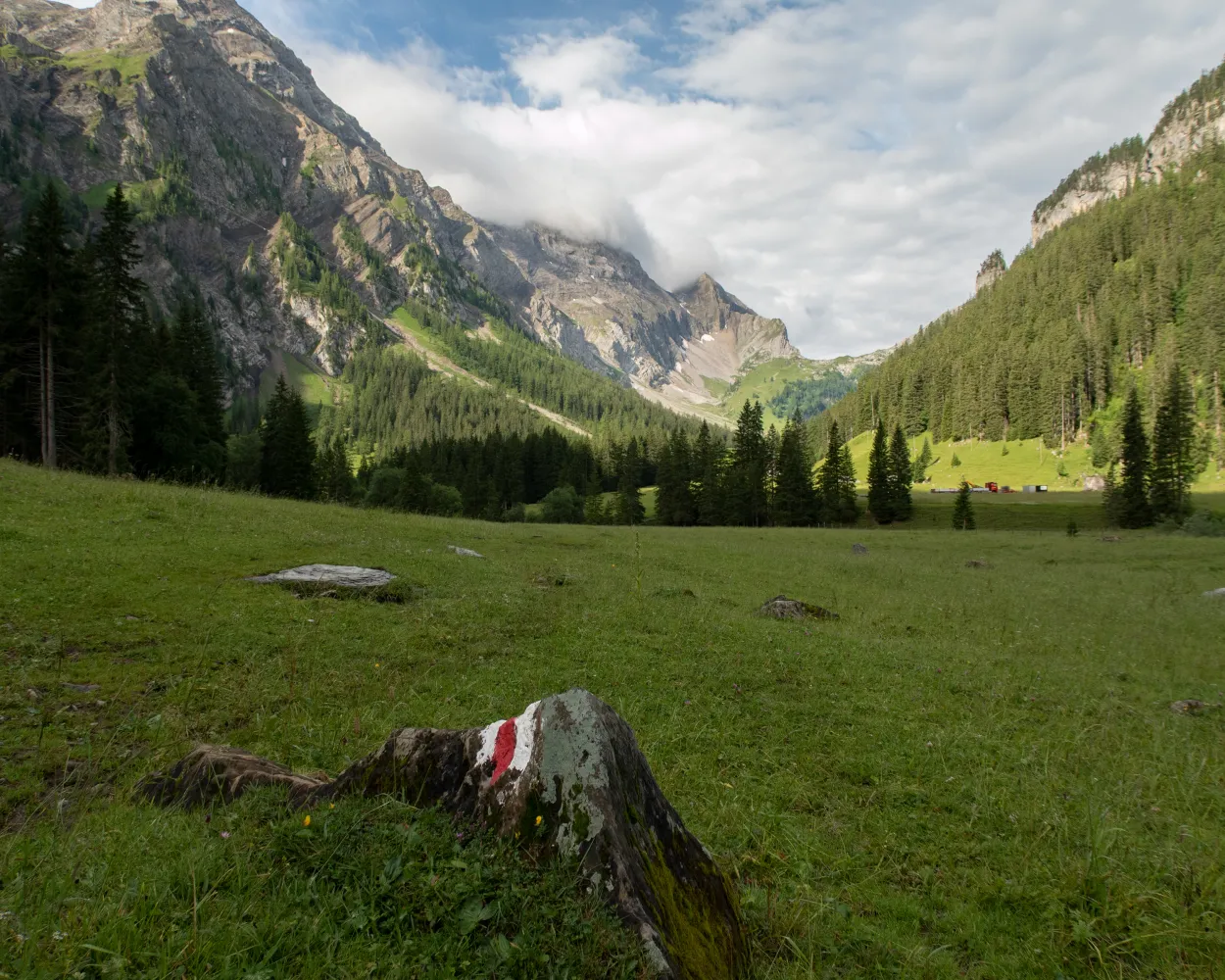
The hike to the Simmen waterfalls, to the "seven fountains", and on via Langermatte to Iffigenalp is one of the most popular in Lenk. It takes the visitors to the most beautiful water spectacles of the Simmen valley and offers a magnificent view of the surrounding mountains and the village of Lenk.
8 km820 m340 m3h 20mLandscape: With panoramic views
Tour published by:
SwitzerlandMobility
Learn more on
schweizmobil.ch
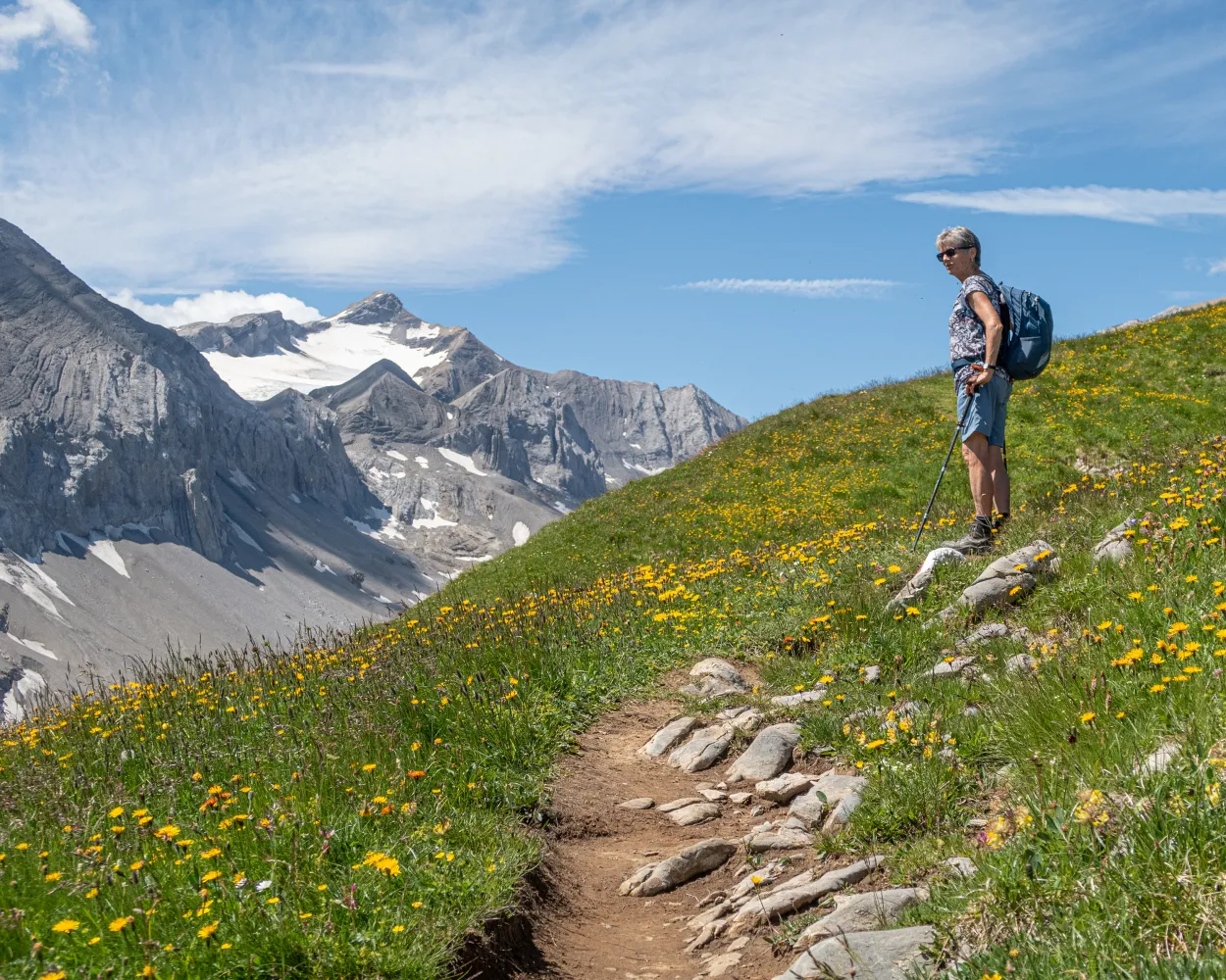
The around five-hour round tour from Iffigenalp - Iffigsee - Iffighore - Hohberg - back to Iffigenalp leads through the attractive nature reserve of Gelten-Iffigen. In July and August, a richly varied and rare world of flora is found on the rugged and romantic Hohberg.
11 km880 m880 m4h 25mLandscape: With panoramic views
Tour published by:
SwitzerlandMobility
Learn more on
schweizmobil.ch
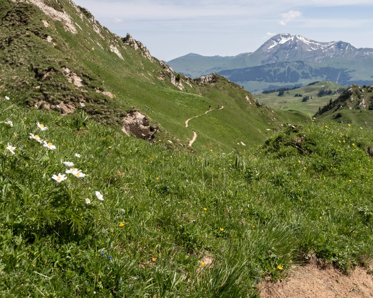
The Betelberg hides a fascinating place with an extraordinary scenery: the Gryden. The crater-like, bizarre rocky landscape can be explored on this high-altitude circular trail. It leads from Lenk's local mountain along the south side of the 'Stübleni' to the refuge and back.
7 km320 m320 m2h 15mLandscape: With panoramic views
Tour published by:
SwitzerlandMobility
Learn more on
schweizmobil.ch
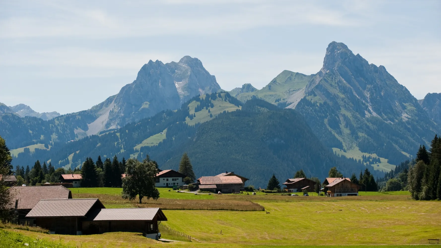
This route begins in the charming village of Saanenmöser and leads to the chalet village of Schönried. The intact nature of the enchanting landscape seen along this tranquil path is reminiscent of an typical Swiss picture postcard.
3 km20 m50 m40m
Barrier free: Yes
Landscape: With panoramic views
Tour published by:
SwitzerlandMobility
Learn more on
schweizmobil.ch
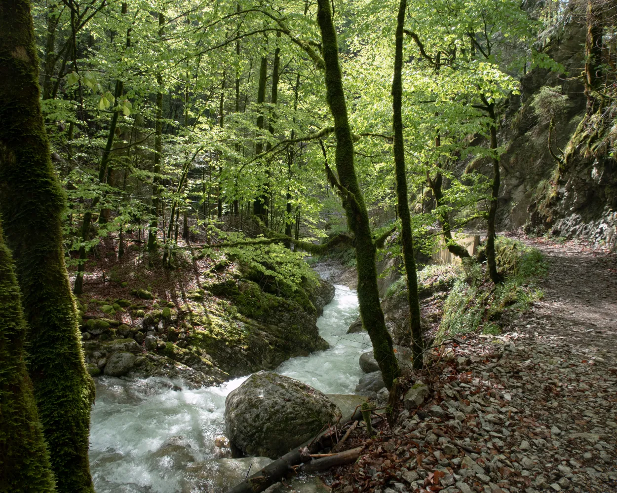
On this diverse hike, ruins allow you a glimpse of the past, a bridge at a dizzying height will make you hold your breath and cave explorers hearts' will skip a beat. A hike right in the middle of beautiful, intact nature.
6 km380 m320 m2h 0mLandscape: With panoramic views,Over a suspension bridge
Tour published by:
SwitzerlandMobility
Learn more on
schweizmobil.ch
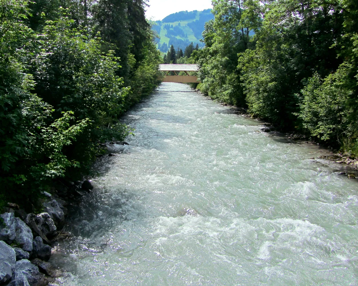
This route leads from Gstaad to Saanen along the tranquil banks of the River Saane. An easy path that is notable for its impressive far-reaching views over this enchanting region.
3 km10 m50 m50mBarrier free: Yes
Landscape: Along the water
Tour published by:
SwitzerlandMobility
Learn more on
schweizmobil.ch
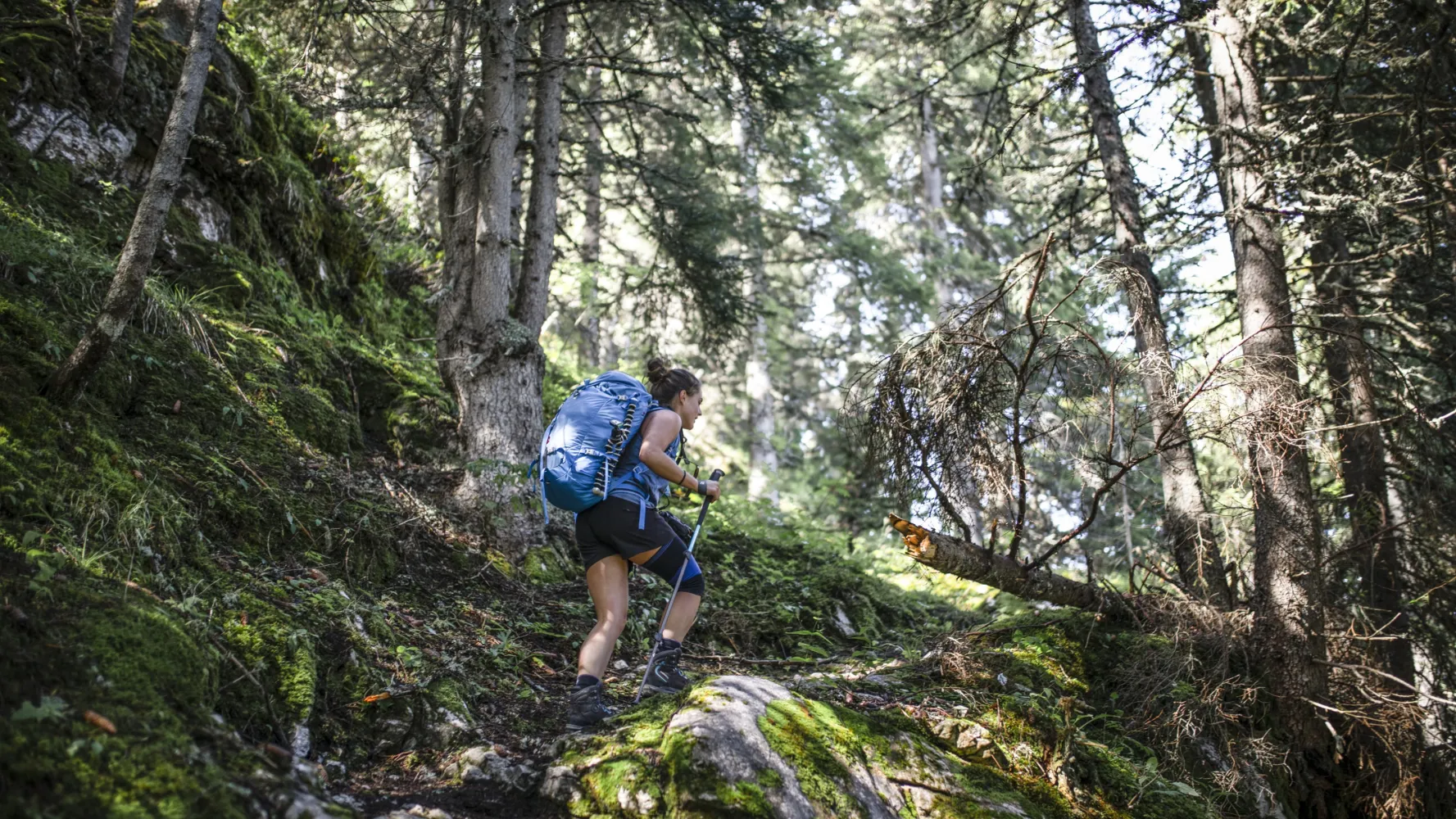
Panoramic high-level path past Berghaus Eggli and the Wilde Bode limestone karren area to the language border at Col de Jable. Many traditional alp huts with large shingle roofs and cheesemaking in copper cauldrons high above Etivaz.
16 km1250 m1200 m6h 25mTour published by:
SwitzerlandMobility
Learn more on
schweizmobil.ch



