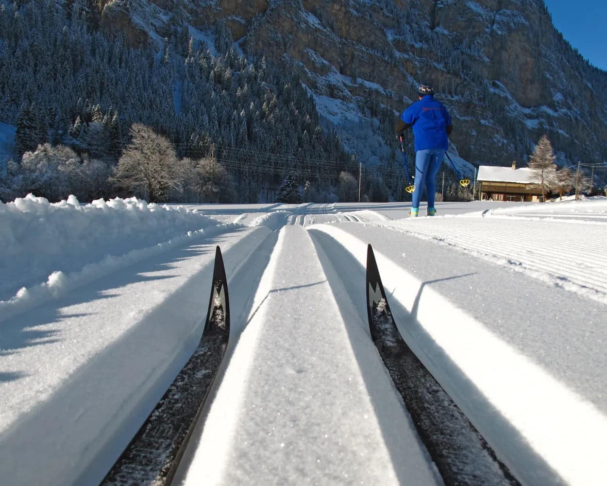
Whether skating or classic: these ten cross-country skiing destinations are all reachable from Lenk by public transport. From romantic forest tracks to scenic high-altitude loops, there’s something for every level of Nordic skier.
The destinations below are sorted by travel time from Lenk im Simmental to make your planning easier. Make sure to visit the map to explore all cross-country skiing areas and thousands of other outdoor activities reachable from any starting point in Switzerland.
From Lenk to Zweisimmen along the roaring Simme: With the warming sun on the back, the cross-country ski trail in the valley offers a lot of variety and magnificent views of beautiful wooden houses, a castle and the surrounding mountains.
 12.1 km
Tour published by:
SwitzerlandMobility
Learn more on
schweizmobil.ch
With its wide, flat valley floor, the Simmental offers an authentic cross-country experience. From the village, the cross-country ski trail to the Simmenfälle (waterfalls) approaches the shady end of the valley with the rugged Ammertenhorn cliffs. It is suited for beginners and experienced athletes alike.
15.7 kmTour published by:
SwitzerlandMobility
Learn more on
schweizmobil.ch
The snow-sure secret trip even in the spring: The cross-country ski trail on Hasler Hochmoor lures with an impressive landscape – from the Gryden to the stretch to Albristhorn and Spillgerte.
4.1 kmTour published by:
SwitzerlandMobility
Learn more on
schweizmobil.ch
First follow the route taken by the famous GoldenPass line and then you go along the stream: This route between Saanenmöser and the sunny mountain terrace of Schönried is picture-postcard beautiful in a typically Swiss way. It crosses the Moos plateau and winds its way through delightful wooded areas.
7.5 kmTour published by:
SwitzerlandMobility
Learn more on
schweizmobil.ch
After leaving the Gstaad ski area for historic Gsteig, this cross-country trail takes you into the valley with the rushing Saane beside you. Its sunny and quiet location with its gentle gradients makes this route especially suitable for enthusiastic skiers.
14.7 kmTour published by:
SwitzerlandMobility
Learn more on
schweizmobil.ch
Surrounded by the gentle pass landscape and with a beautiful view of the razor-sharp, jagged Gastlosen, the Jaunpass offers a unique cross-country skiing experience. The region at approximately 1500 m.a.s.l. is considered to be snowsure; the stretch with some ascents and descents comprises multiple loops.
7.2 kmTour published by:
SwitzerlandMobility
Learn more on
snow.myswitzerland.com
and on
schweizmobil.ch
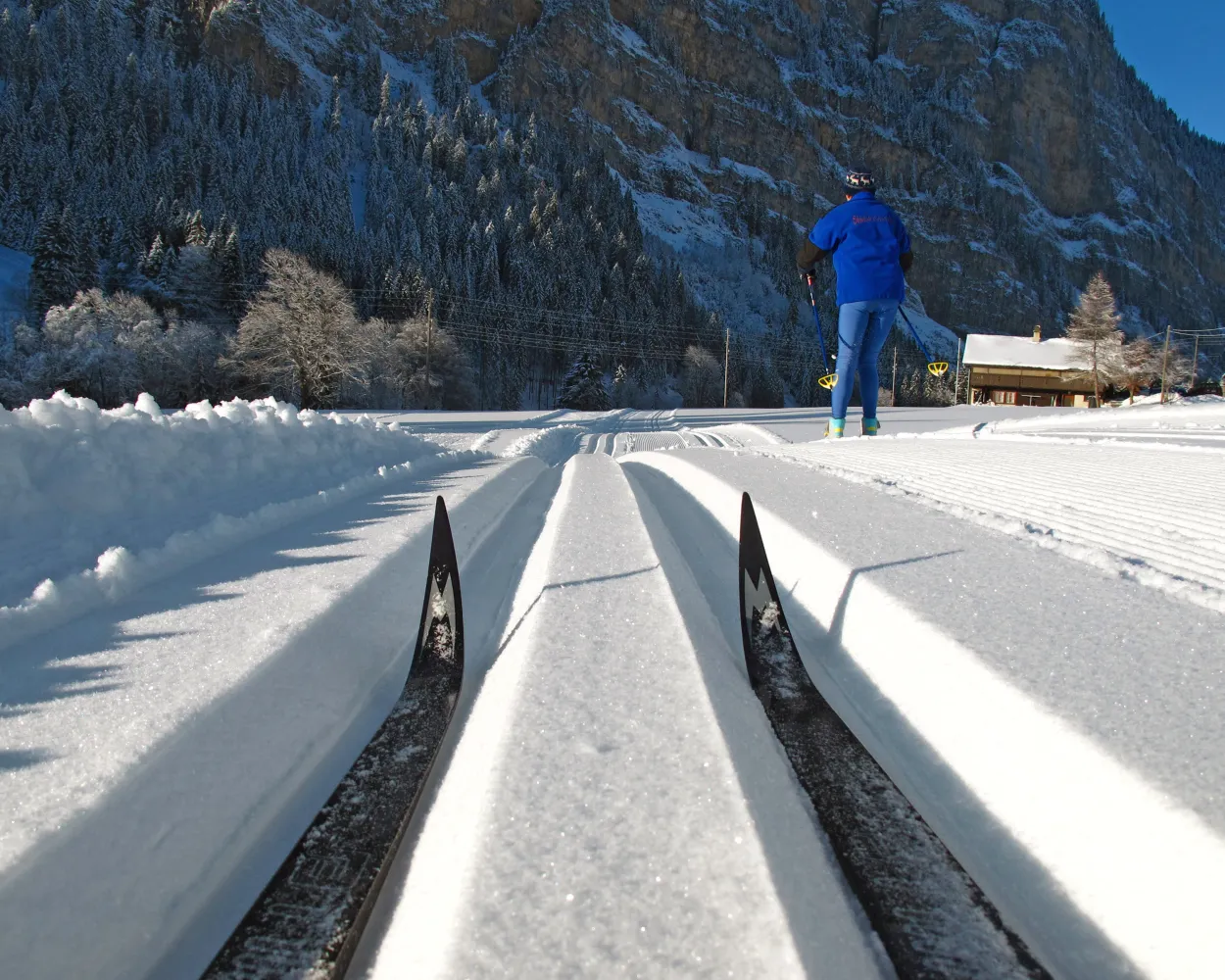
The Diemtigtal cross-country skiing trail makes its way through forests, alongside ice-bound mountain streams and over snow-covered meadows. The Tiermatti trail is a part of a 22km, continuous cross-country trail network in the rear Diemtigtal valley.
17.2 kmTour published by:
SwitzerlandMobility
Learn more on
snow.myswitzerland.com
and on
schweizmobil.ch
Competition with sweeping views: On this training route used by the of former professional athlete Nathalie von Siebenthal, cross-country skiers can try to better her times. All the while as you enjoy the views of the surrounding mountains.
6.5 kmTour published by:
SwitzerlandMobility
Learn more on
schweizmobil.ch
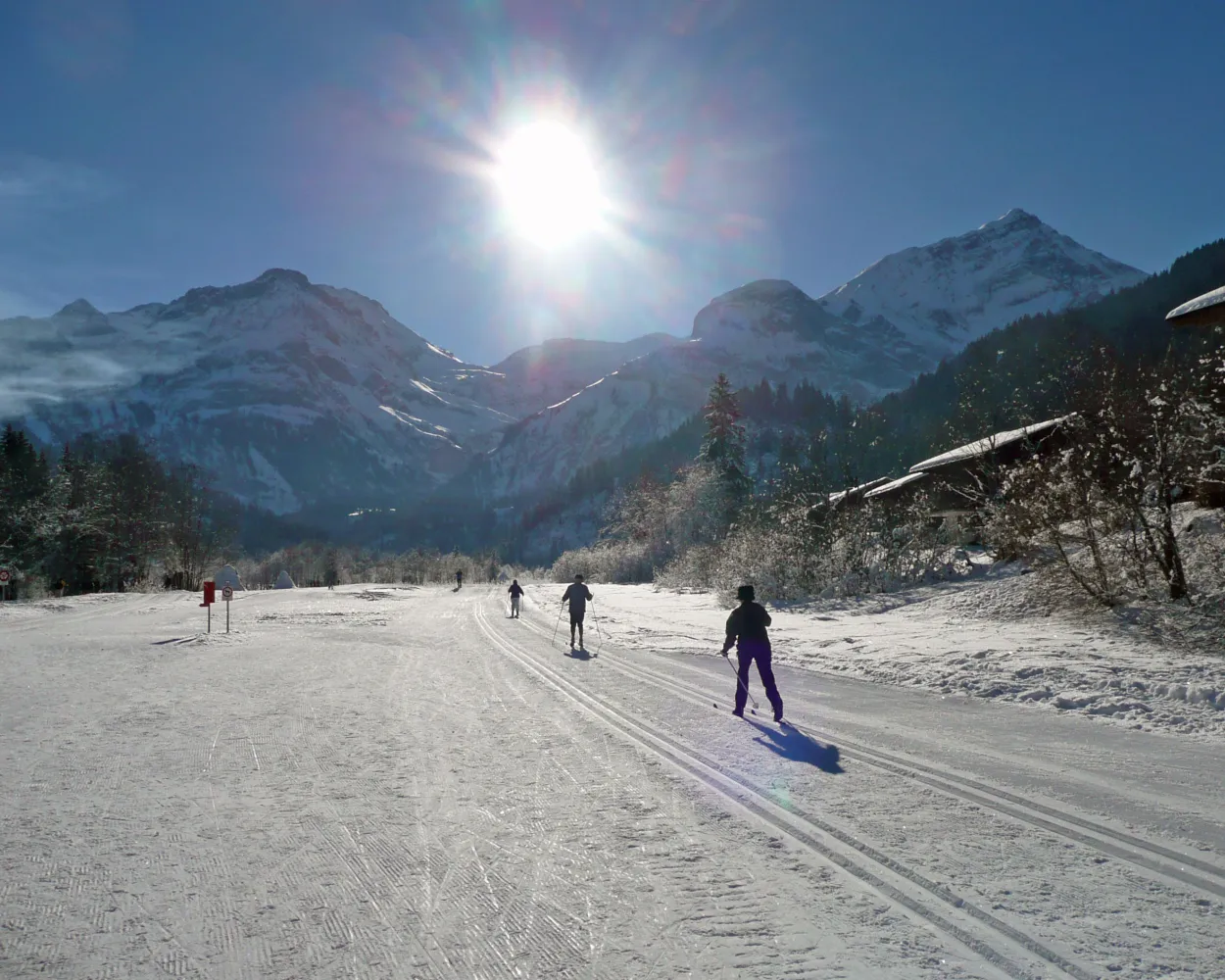
Easy, flat, sunny. Mostly surrounded by unspoilt nature and with some great views too. If this is what you are looking for, then this trail in Lauenen is just right for you.
7.5 kmTour published by:
SwitzerlandMobility
Learn more on
schweizmobil.ch
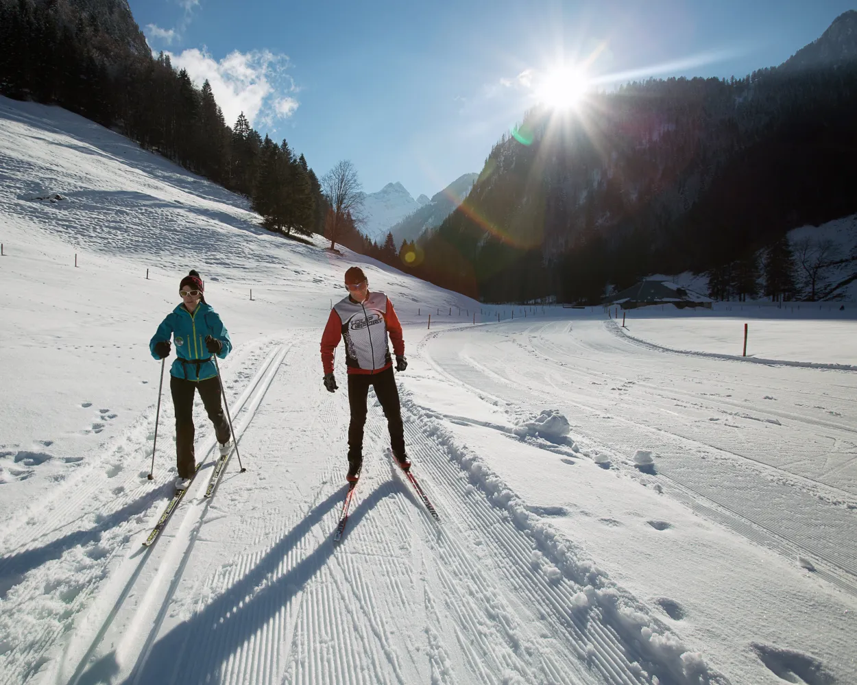
The Nordic sports centre is in Im Fang, alongside the cantonal road between Charmey and Jaun. The place is surrounded by the peaks of the Vanil d’Arpille or the Hochmatt and is well known for its early, long-lasting snow cover.
10.1 kmTour published by:
SwitzerlandMobility
Learn more on
schweizmobil.ch
Much more on ovunta.com/en/map



