These ten hiking destinations are all accessible by public transport from Kandersteg, offering a diverse range of alpine experiences. From panoramic trails along the Lötschberg railway to challenging routes over high mountain passes, the area boasts breathtaking views of glaciers, pristine lakes, and iconic peaks. Whether you're looking for a gentle walk through flower-filled meadows or an adventurous trek to a mountain hut, there's something for every hiker.
The hikes are listed in order of travel time from Kandersteg, making it easy to plan your next alpine adventure. Check out the map to explore thousands of destinations and activities, reachable from any starting point in Switzerland.
Much more on ovunta.com/en/map
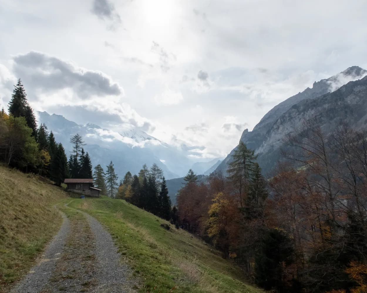
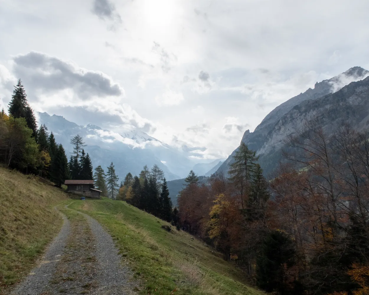
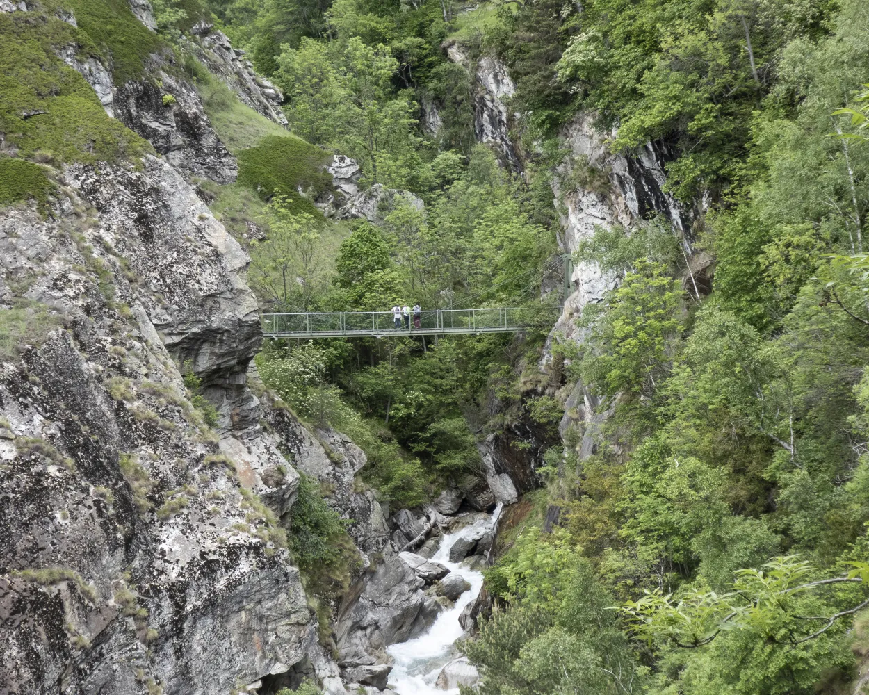
In 2005, the Commune of Niedergesteln built a suspension bridge and a metal stairway to provide an access route that is dry underfoot in order to descend below the roaring waters of the Jolibach stream to the Stägeru’s water intake at 900 m. Part of the Stägeru was channelled into the Lüegjeru, because its former intake fell victim to a storm. Reports of the Stägeru date back to 1552 and the Lüegjer was probably constructed in the 17th century.
 11.6 km
 450 m
450 m 3h 45m
Difficulty: Medium

Landscape: Along the water,Along a Suone/Bisse
Learn more on
valais.ch
and on
valrando.ch
| Kandersteg (08:41) | |
| RE1 (15m) | |
| Hohtenn (08:56) |
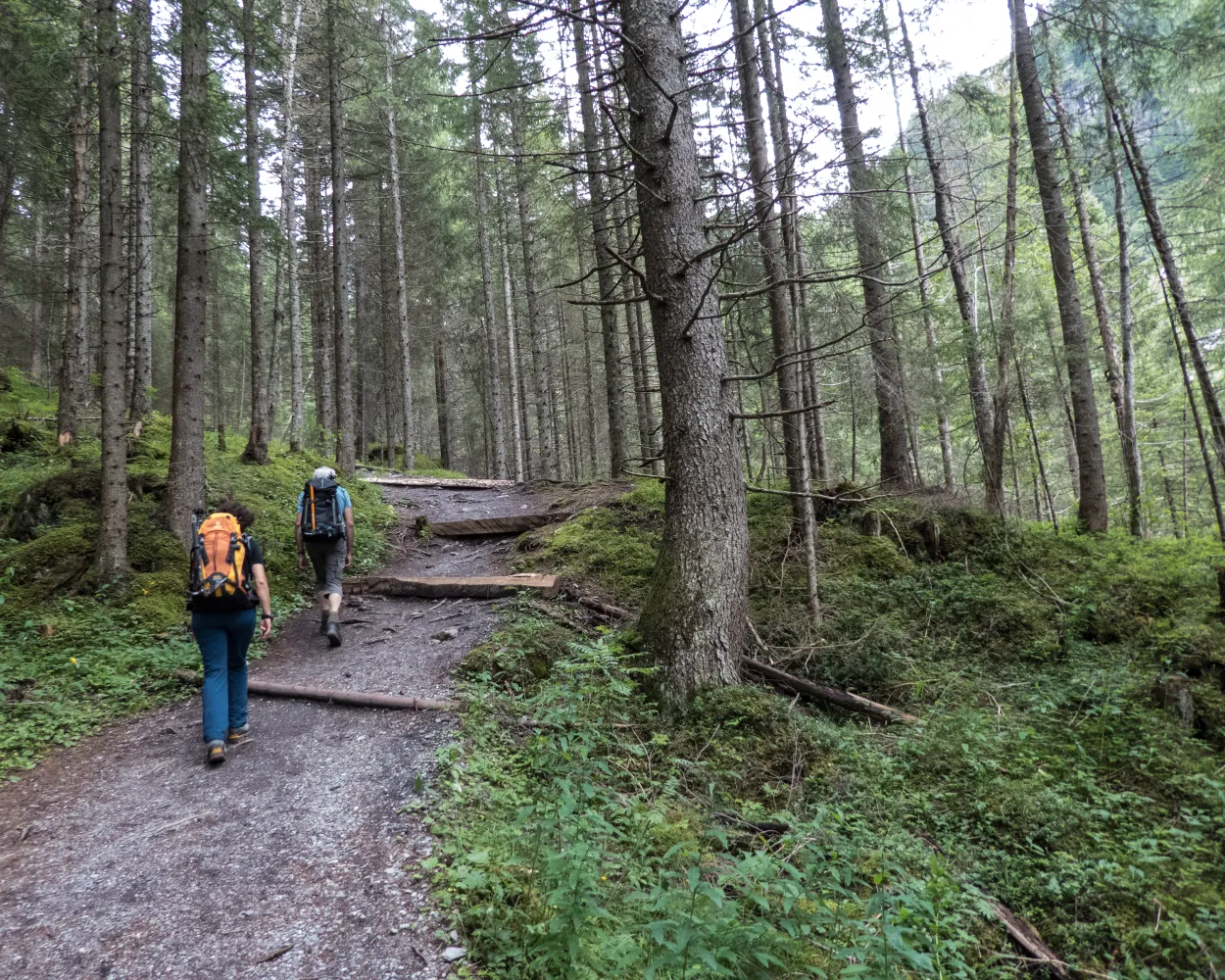
High-level path in Alpine foothills from Kiental to Kandersteg. High above the Kandertal through forests and over Alpine pastures. Fascinating views down to the trains of the Lötschberg Railway, which roll through the Kandertal like a model railway.
20 km1150 m 950 m6h 35m
Landscape: With panoramic views
Tour published by:
SwitzerlandMobility
Learn more on
schweizmobil.ch
Four very varied days in the Lötschberg region. Sniff railway aromas high above the Kandertal, experience the rugged Gasteretal with all your senses. After crossing the Lötschengletscher (glacier), classic panoramic hike on the Lötschentaler Höhenweg.
51 km3100 m2300 mLandscape: Onto an alp,With panoramic views,Along a glacier
Tour published by:
SwitzerlandMobility
Learn more on
schweizmobil.ch
| Kandersteg, Bahnhof (08:58) | |
| 230 (3m) | |
| Kandersteg, Museum (09:01) |
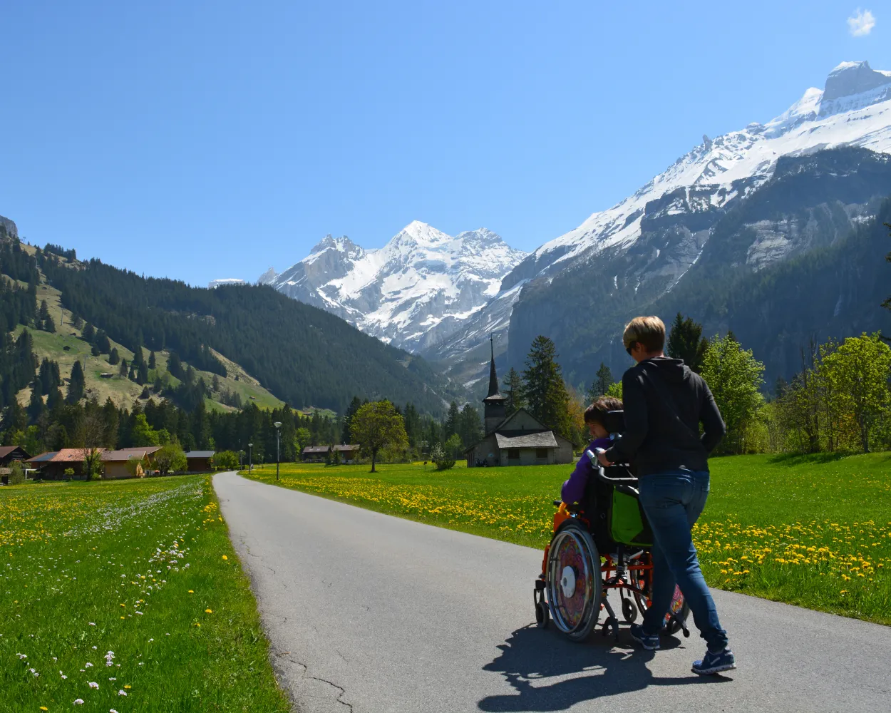
A mountain village with breathtaking surroundings invites you to stop and stare. Pass by meadows and along the Kander – the river that gave Kandersteg its name – and enjoy ever-changing views of the mountain peaks.
3 km40 m40 m50m
Barrier free: Yes
Landscape: Along the water
Tour published by:
SwitzerlandMobility
Learn more on
schweizmobil.ch
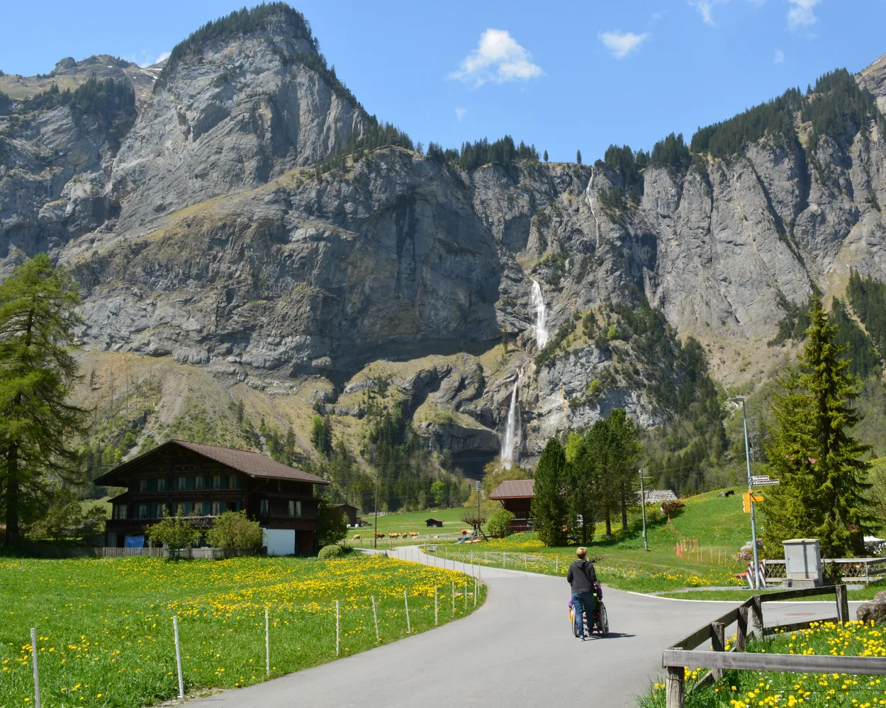
This popular path along the Kander offers a view of the imposing peaks around Kandersteg. It takes you past the international scout centre, elaborately decorated farmhouses and the idyllic Muggenseeli lake.
4 km30 m30 m55mBarrier free: Yes
Landscape: Along the water
Tour published by:
SwitzerlandMobility
Learn more on
schweizmobil.ch
| Kandersteg, Bahnhof (08:44) | |
| 241 (3m) | |
| Kandersteg, Ruedi Hus (08:47) |
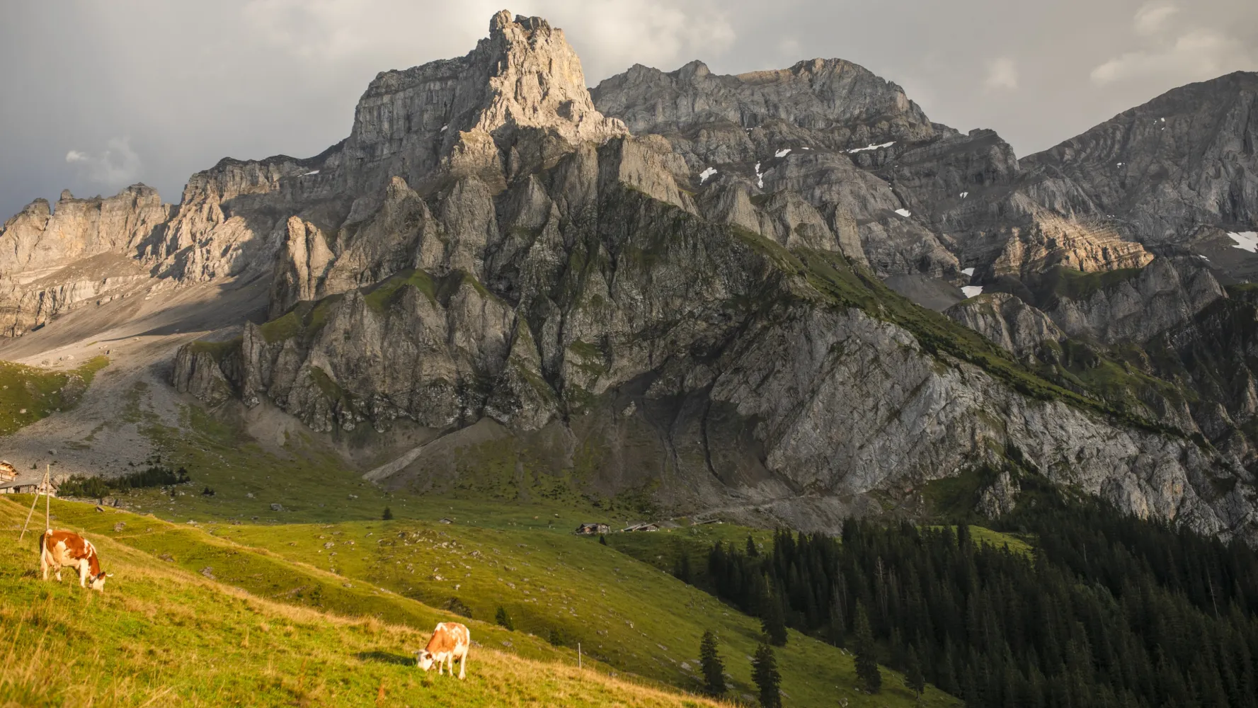
From Kandersteg’s traditional wooden chalets over flower-filled Alpine pastures towards the rock walls of the Lohner, a firm favourite with chamois. Over numerous steep sections to reach the Bunderchrinde, the breathtaking pass into Engstligental, and on to Adelboden.
16 km1400 m1250 m6h 45mLandscape: Over a pass,With panoramic views
Tour published by:
SwitzerlandMobility
Learn more on
schweizmobil.ch
The Via Alpina crosses 14 of the most beautiful Alpine passes. Straight through seven Swiss cantons with a vast variety of culture, geology and topography. Wide roads end in high ridge trails. The route is lined with one of the world’s most diverse variety of flora and fauna.
390 km23500 m24800 mLandscape: With panoramic views,Over a pass,Onto a mountain peak
Tour published by:
SwitzerlandMobility
Learn more on
schweizmobil.ch
| Kandersteg, Bahnhof (08:44) | |
| 241 (4m) | |
| Kandersteg, Simplon (08:48) |
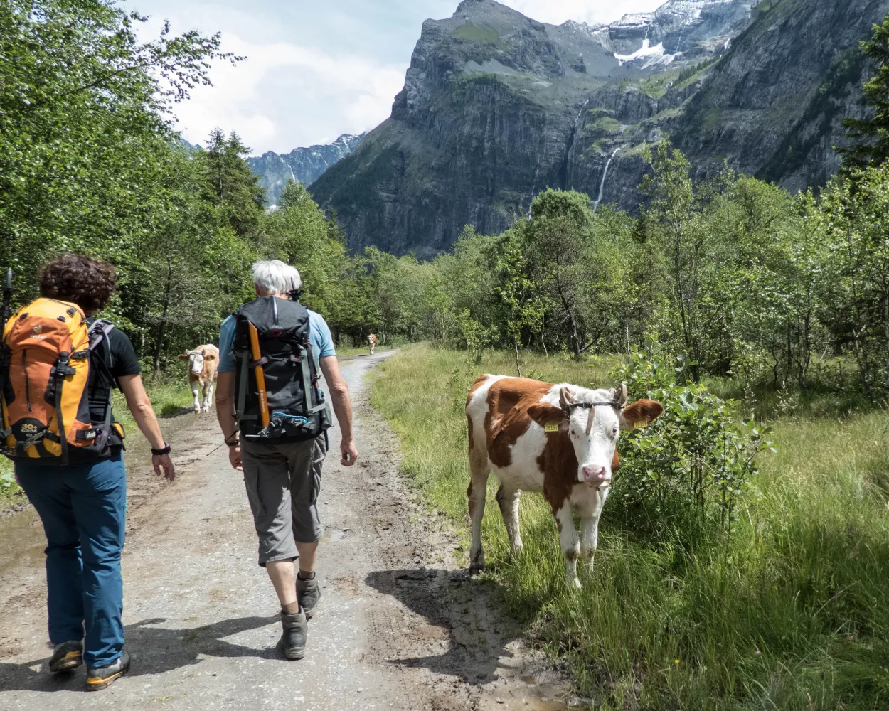
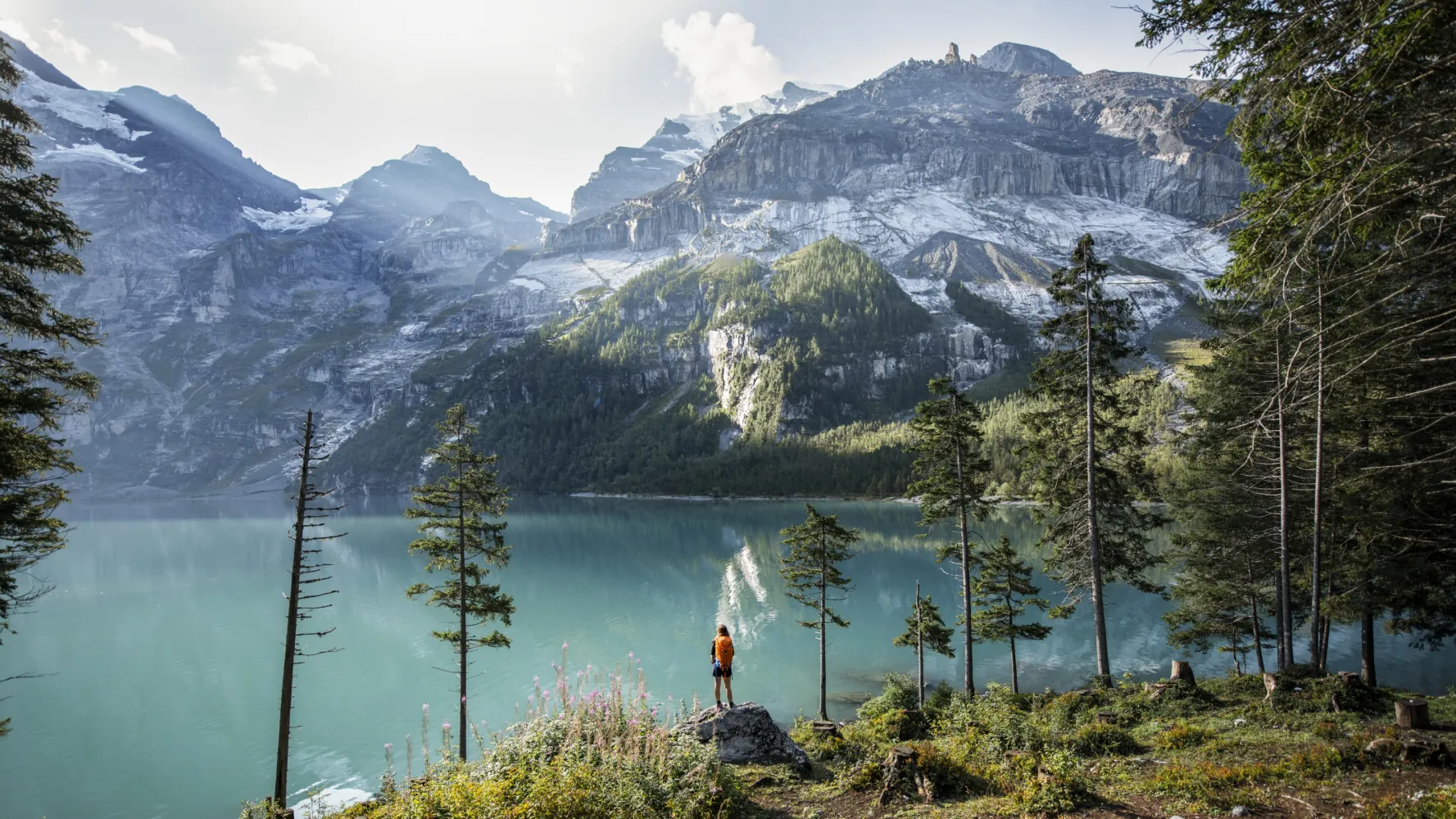
Impressive hike through the Gasteretal, one of the most magnificent high-Alpine valleys. Surrounded by steep cliffs, the waters of the young Kander flow sometimes gently, sometimes untamed and thundering. Wealth of Alpine flora in spring.
11 km460 m90 m3h 10mLandscape: With panoramic views,Along the water
Tour published by:
SwitzerlandMobility
Learn more on
schweizmobil.ch
| Kandersteg, Bahnhof (08:44) | |
| 241 (5m) | |
| Kandersteg, Pfadizentrum (08:49) |
Scenic high-level trail with panoramic views of the Valais Alps and views down into the Rhone Valley. Variety of attractions along the route: thermal spa in Leukerbad, viaducts on the Lötschberg-Südrampe, splashing water channels and the Museum of the Swiss Guard at Naters.
76 km3300 m4100 mLandscape: With panoramic views
Tour published by:
SwitzerlandMobility
Learn more on
schweizmobil.ch
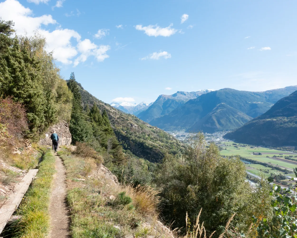
Panoramic hike on high-level BLS railway Südrampe (south ramp). Popular classic hike beside the Lötschberg Railway tracks to imposing Bietschtal bridge. Lovely path beside historic water channels (suonen) to hanging bridge; superb views at Brägji and Riedgarten.
12 km640 m260 m3h 40mLandscape: With panoramic views
Tour published by:
SwitzerlandMobility
Learn more on
schweizmobil.ch


