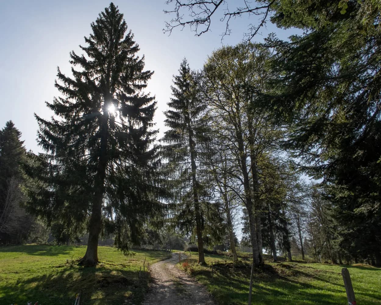
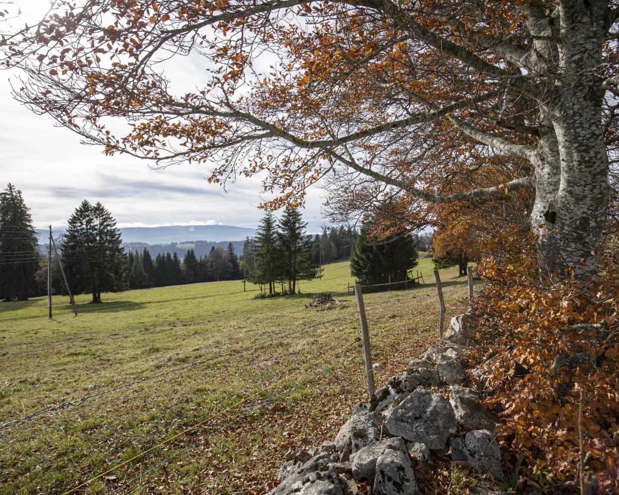
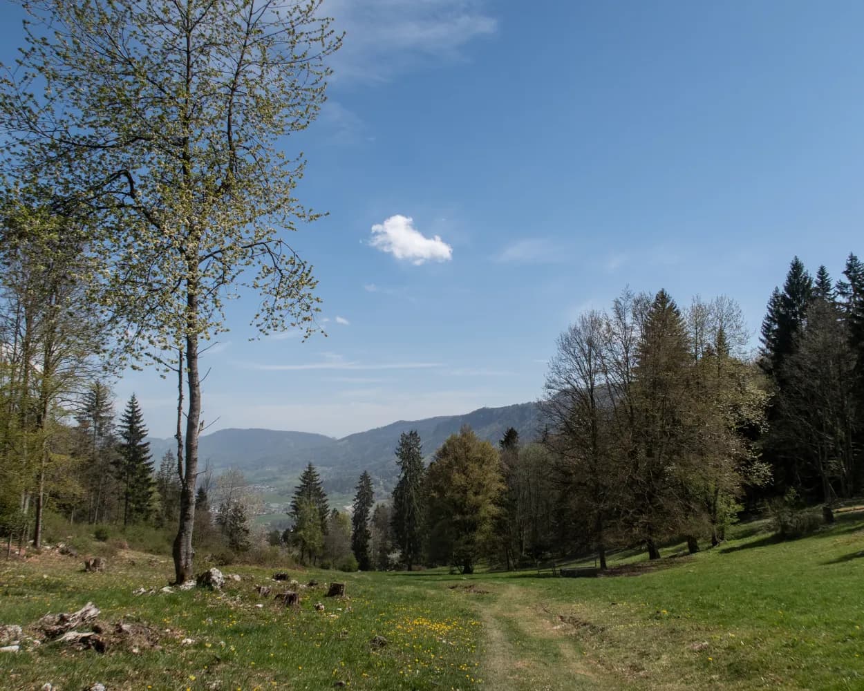
Discover ten fantastic hiking trails accessible by public transport from Delémont. From the wooded Jura landscape to the Franches-Montagnes plateau, these routes offer diverse experiences for nature enthusiasts. Enjoy panoramic views of the Alps, the Black Forest, and the Vosges mountains as you traverse ridge paths, ancient forests, and charming villages.
The hikes are listed in order of travel time from Delémont, making it easy to plan your next outdoor adventure. Check out the map to explore thousands of destinations and activities, reachable from any starting point in Switzerland.
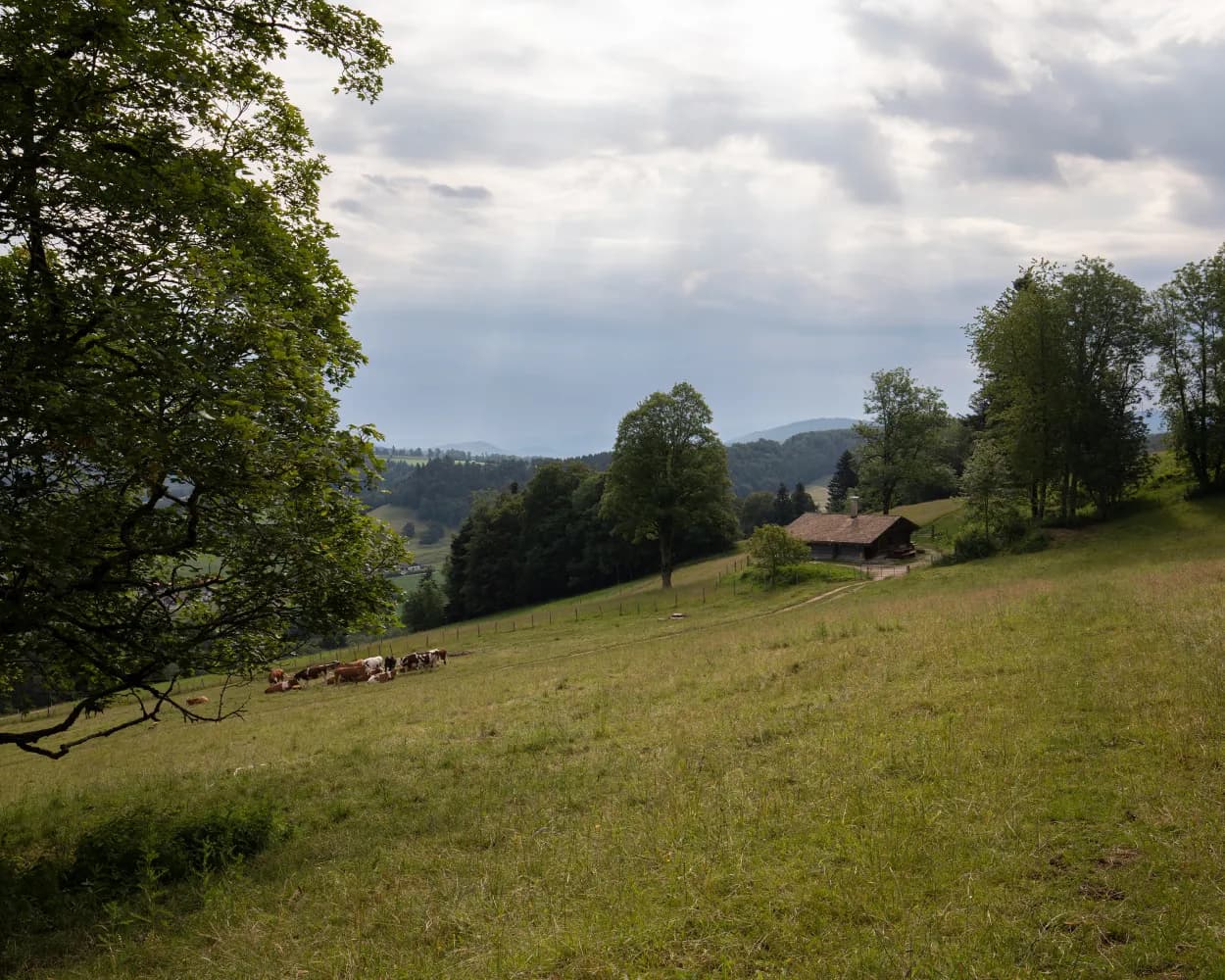
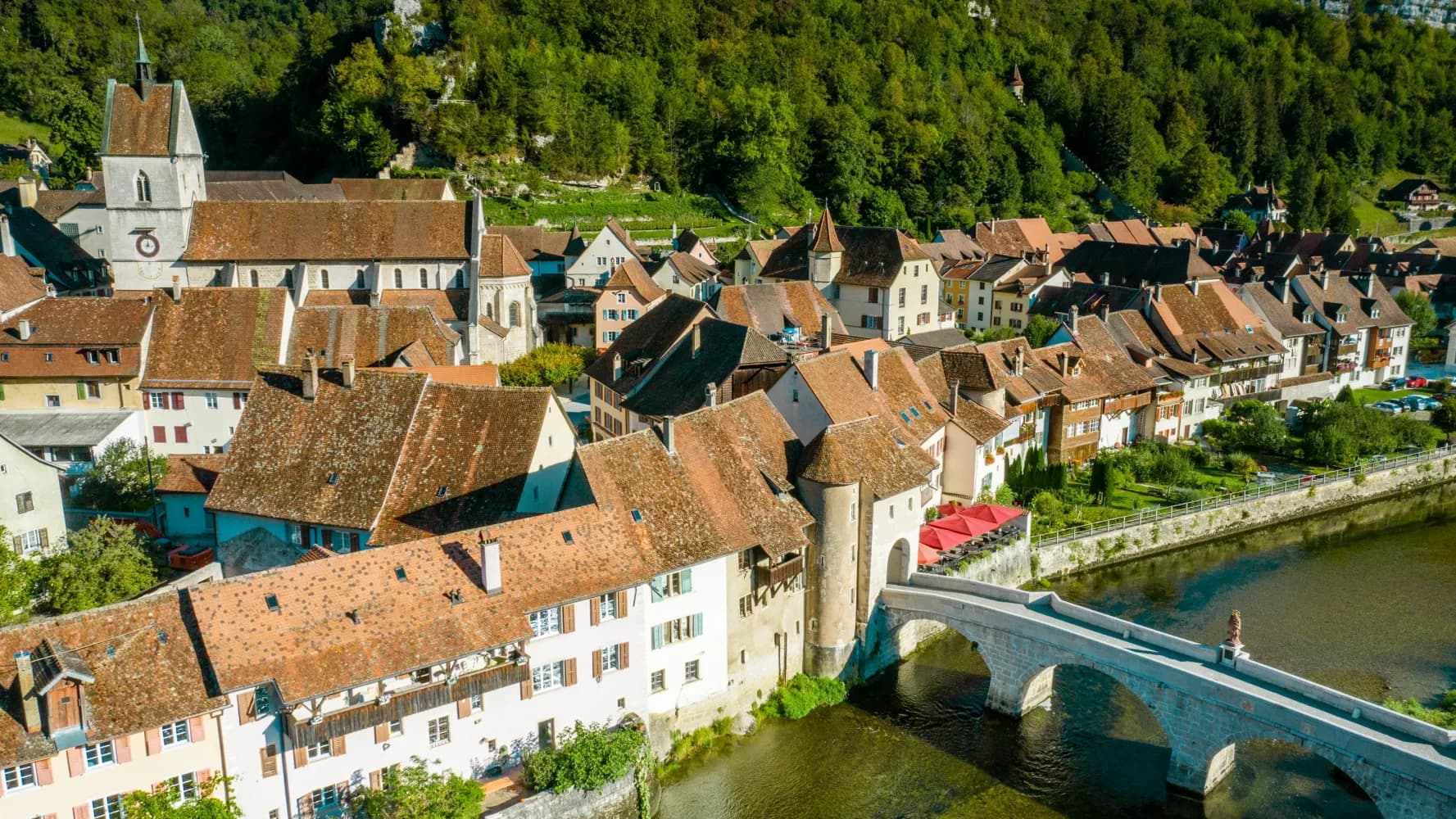
The walk from Delémont is a tour through the Canton Jura and its attractive scenery, from the heights of the Delémont Valley via the Ajoie region and the Doubs Valley, through the Combe Tabeillon nature preserve and to the Freiberge Mountain plateau with lovely, historic towns such as Porrentruy and St-Ursanne.
 94 km
94 km 3200 m
 2600 m
Landscape: With panoramic views
Tour published by:
SwitzerlandMobility
Learn more on
schweizmobil.ch
| Delémont, gare (08:42) | |
| 6 (1m) | |
| Delémont, ch. du Puits (08:43) |
The ViaJura leads through the Birs and Schüss valleys from Basel via Delsberg to Biel. It runs over historically valuable sections, including the legend-steeped Glögglifelspass, the exposed Mont Raimeux and the Pierre Pertuis Roman rock arch.
130 km4200 m4100 mLandscape: With panoramic views,Through a gorge,Along the water
Tour published by:
SwitzerlandMobility
Learn more on
schweizmobil.ch
Wild, rocky forests, the rich vegetation of nature reserves and a fantastic panorama enrich the hike through the hilly Jura landscape. Rocky Mont Raimeux is climbed, and a path cut deep into the terrain leads steeply downhill to Moutier.
26 km1100 m950 m 7h 45m
Tour published by:
SwitzerlandMobility
Learn more on
schweizmobil.ch
| Delémont, gare (09:02) | |
| 2 (3m) | |
| Delémont, rte de Bâle (09:05) |
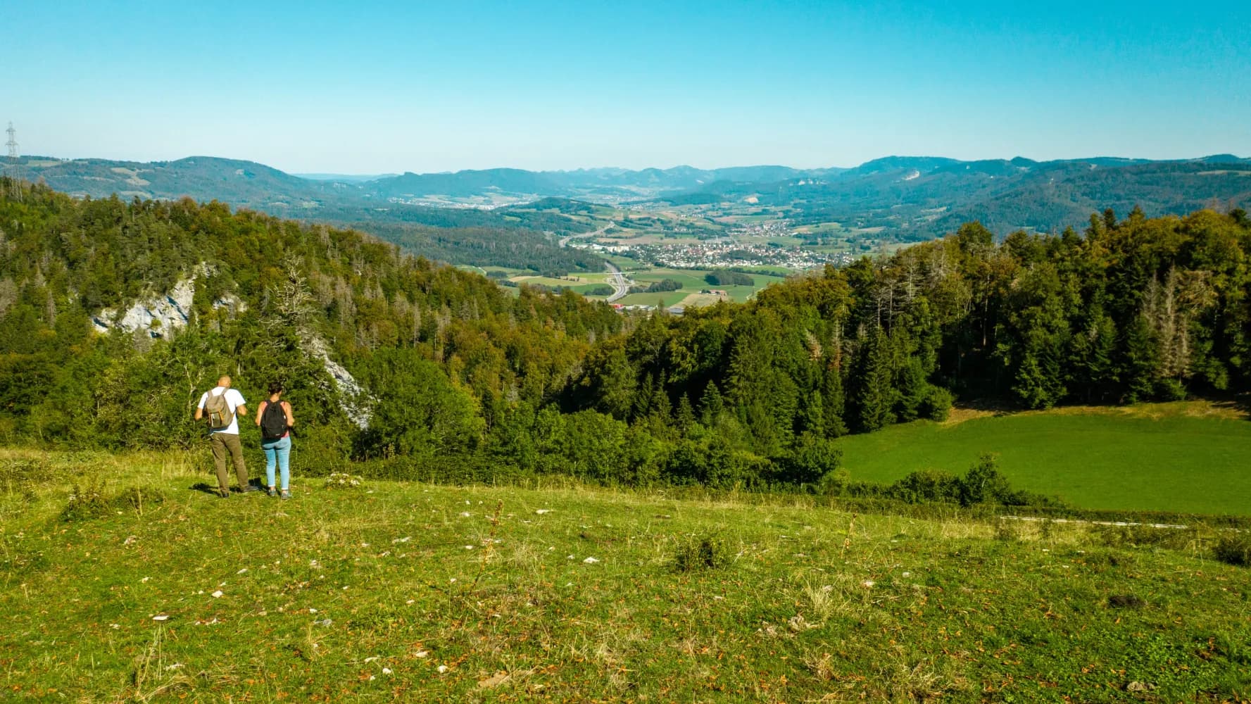
Following the stream through deep, rocky gorges, on beautiful paths along the forest's edge and across pastures on the broad ridge of the Moron, the route shows the Jura's diversity. From the tower of Moron, you can see the Alpine arc from Säntis to Mont Blanc and in the north from the Vosges to the Black Forest (temporarily closed).
23 km1100 m740 m6h 50mLandscape: With panoramic views,Through a gorge
Tour published by:
SwitzerlandMobility
Learn more on
schweizmobil.ch
Surprises: the Tour de Moron built by apprentices as well as renewable energies on Mont Soleil and Mont Crosin; picturesque little towns nesting between scenic heights. And don’t forget to sample spicy Tête de Moine cheese.
64 km2200 m1800 mLandscape: With panoramic views,Onto an alp
Tour published by:
SwitzerlandMobility
Learn more on
schweizmobil.ch
The trail leads across wide pastures and past ancient trees over the ridge areas of the Moron. Gravel paths and drystone walls run in a dead straight line across the hilly landscape of the Jura. Moron Tower offers a spectacular view of the Vosges, the Black Forest and across the Alps (temporarily closed).
17 km880 m540 m5h 10mLandscape: With panoramic views
Tour published by:
SwitzerlandMobility
Learn more on
schweizmobil.ch
| Delémont (08:41) | |
| IR56 (10m) | |
| Moutier (08:51) |
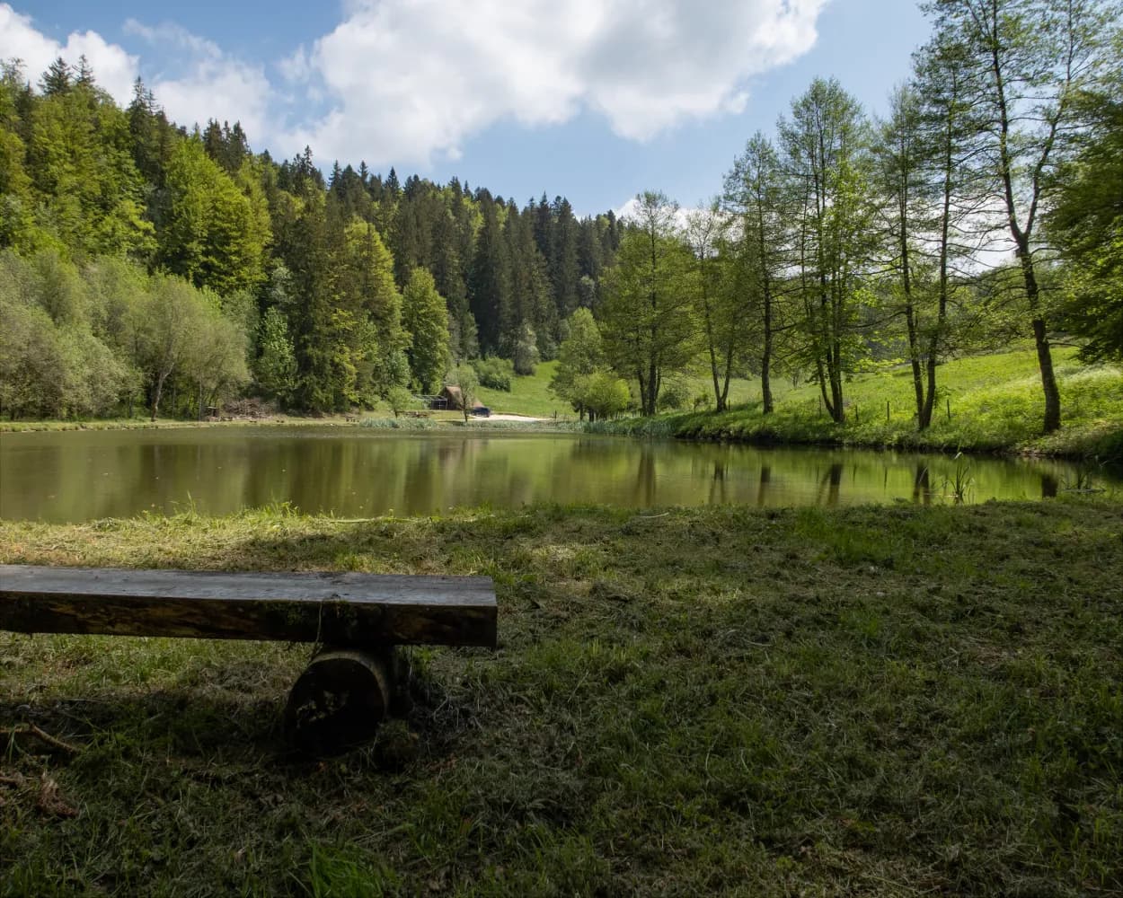
This hike begins with the ascent through the Combe Tabeillon, a wild gorge you leave halfway to get to the Franches-Montagnes plateau. Past hamlets, villages, ponds and wooded pastures, the route reaches Bellelay.
14 km660 m240 m4h 10mTour published by:
SwitzerlandMobility
Learn more on
schweizmobil.ch
From St. Ursanne, the route follows the Doubs river to Tariche. It then meets the trail commemorating the 40th anniversary of the canton of Jura, and continues on to the intersection of the three Jura districts. You then continue hiking on the ridge. In view: the Delémont and Doubs valleys. The descent leads to the destination for this stage at Glovelier.
18 km620 m540 m5h 0mTour published by:
SwitzerlandMobility
Learn more on
schweizmobil.ch
From Glovelier, the trail leads up to the Combe Tabeillon Nature Reserve. Passing several ponds, hikers reach Le Pré-Petitjean in the heart of the typical Freiberg landscape. Via Montfaucon, a traditional village built on the mountain ridge, you then go through pasture landscapes to Saignelégier.
21 km620 m140 m5h 30mTour published by:
SwitzerlandMobility
Learn more on
schweizmobil.ch
| Delémont (08:51) | |
| R1 (12m) | |
| Glovelier (09:03) |
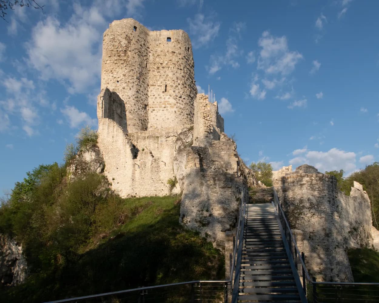
High-level hike from Laufen across the remote Jura plateaus between the Birs and Lützel rivers, past the pilgrimage church and castle ruins of Vorbourg, perched on a rocky spur above the Birs-Klus, to the Jura's capital, Delémont/Delsberg.
21 km700 m640 m5h 45mTour published by:
SwitzerlandMobility
Learn more on
schweizmobil.ch
| Delémont (08:52) | |
| IC51 (13m) | |
| Laufen (09:05) |
Much more on ovunta.com/en/map