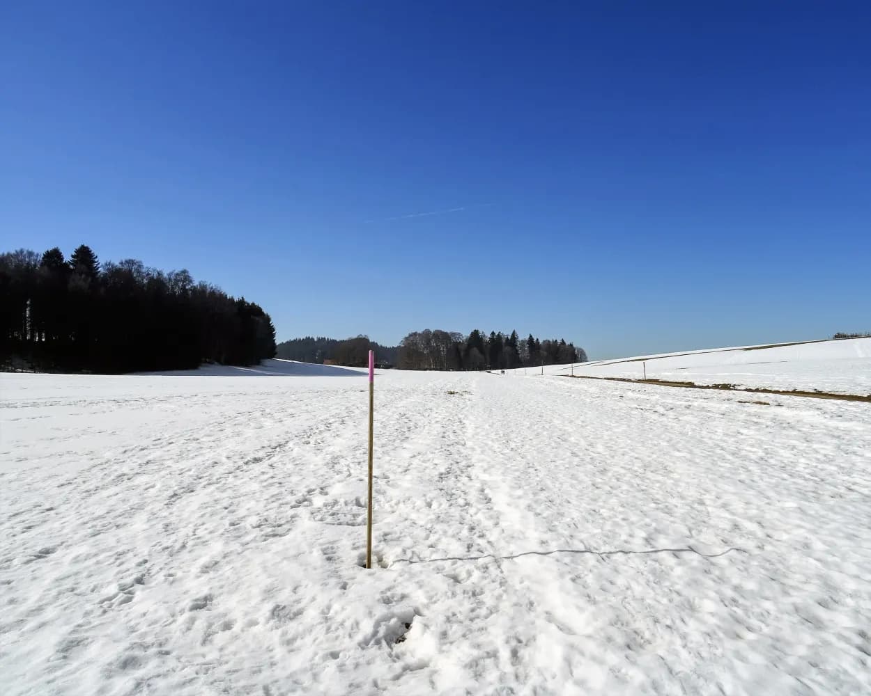
Relaxed or more challenging: these winter hikes are all reachable from Delémont by public transport. From easy panoramic walks to longer alpine routes, there’s something for every level of winter hiker.
The destinations below are sorted by travel time from Delémont to make planning easier. Be sure to check the map to explore all winter hikes and thousands of other outdoor activities reachable from any starting point in Switzerland.
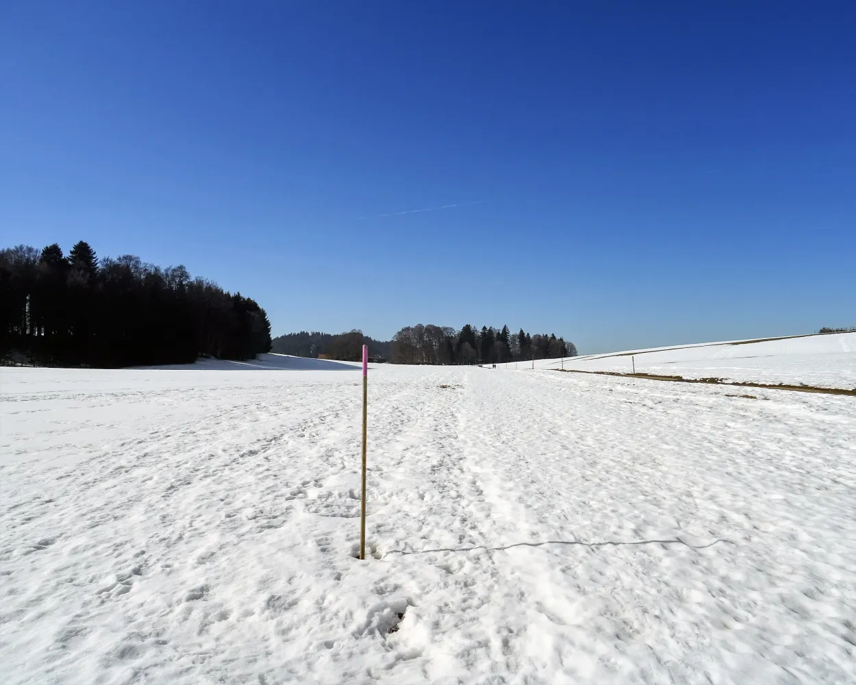
This hike from Saignelégier leads you to Le Noirmont through the typical scenery of the Jura. The route allows you to discover the capital of the Franches-Montagnes, Saignelégier, well known for its Marché-Concours National de chevaux (National Horse Show).
 6 km
6 km 50 m
50 m 80 m
80 m 1h 45m
Tour published by:
SwitzerlandMobility
Learn more on
schweizmobil.ch
| R2 (12m) | |
| 34 (35m) | |
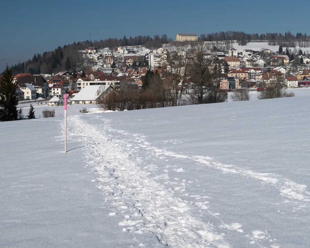
This idyllic winter hike leads between the tall fir trees of the Franches-Montagnes from Le Noirmont station to Le Creux-des-Biches. The easy tour across the vast plateau of the Franches-Montagnes is ideal for beginners.
3 km70 m30 m55m
Landscape: Through a Swiss Park
Tour published by:
SwitzerlandMobility
Learn more on
schweizmobil.ch
| R2 (12m) | |
| 34 (35m) | |
| R36 (7m) | |
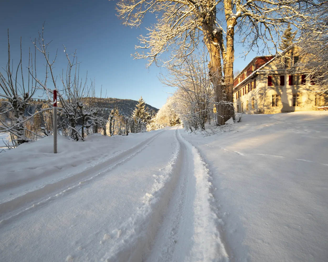
This winter walk, which starts in the village of Prés-d’Orvin, will take you onto the Chasseral ridge at a height of 1,288 m where a magnificent panorama over Lake Neuchâtel, the plateau and the Alpine chain awaits you.
9 km300 m300 m3h 0mLandscape: Onto a mountain peak,Through a Swiss Park,With panoramic views
Tour published by:
SwitzerlandMobility
Learn more on
schweizmobil.ch
| IR56 (30m) | |
| 70 (27m) | |
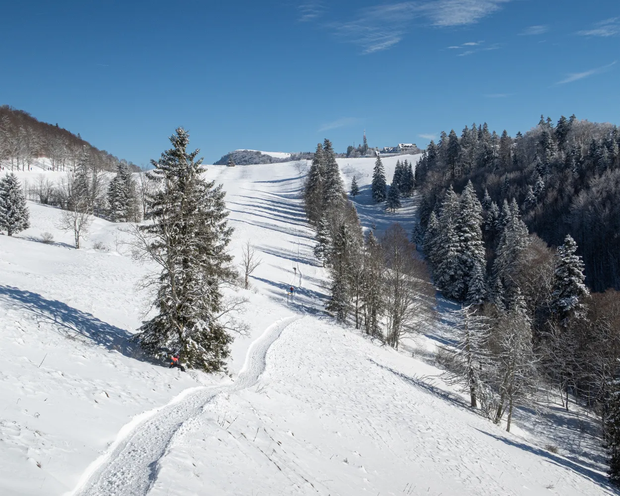
Grey below, luminous blue above: it’s time for Mount Weissenstein. Those sick of the fog can enjoy a winter hike on Solothurn’s local mountain, which offers splendid views of the Swiss Plateau to Mount Säntis and Mont Blanc.
4 km90 m90 m1h 15mLandscape: With panoramic views
Tour published by:
SwitzerlandMobility
Learn more on
schweizmobil.ch
| IR56 (18m) | |
| EV4 (23m) | |
| S21 (14m) | |
| 2026 (12m) | |
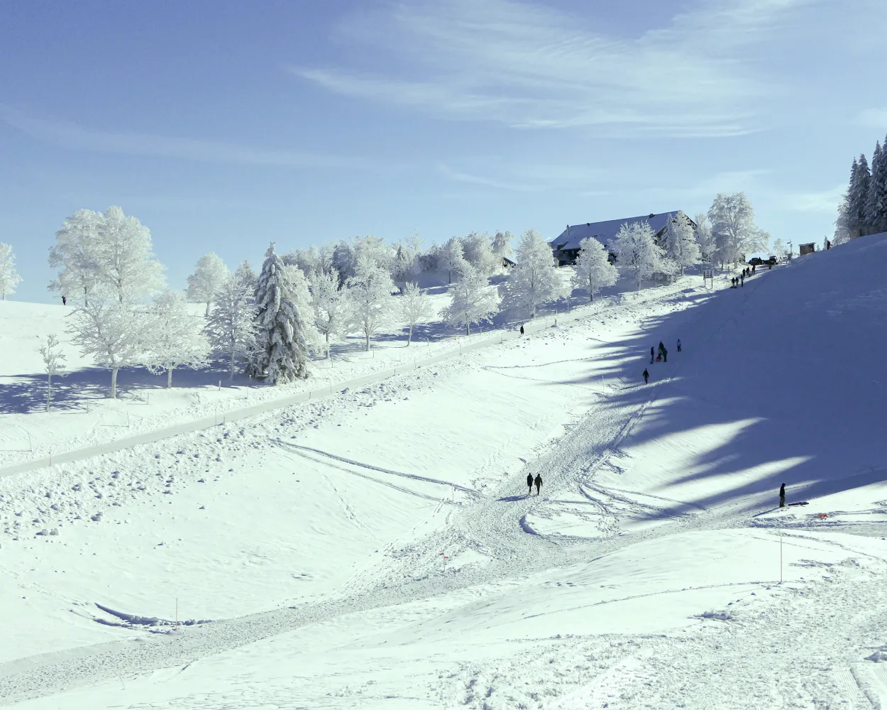
This winter hike takes you into the heart of the Neuchâtel Jura between snow-covered valleys and mountain ranges. From the Col de la Vue des Alpes, the route leads to the sun-drenched Tête de Ran peak. Once at the top, the view stretches from the Säntis to the Mont Blanc, while the French Jura and the Vosges mountains rise up towards the north.
7 km220 m220 m2h 25mTour published by:
SwitzerlandMobility
Learn more on
schweizmobil.ch
| IC51 (30m) | |
| RE4 (41m) | |
| 370 (14m) | |
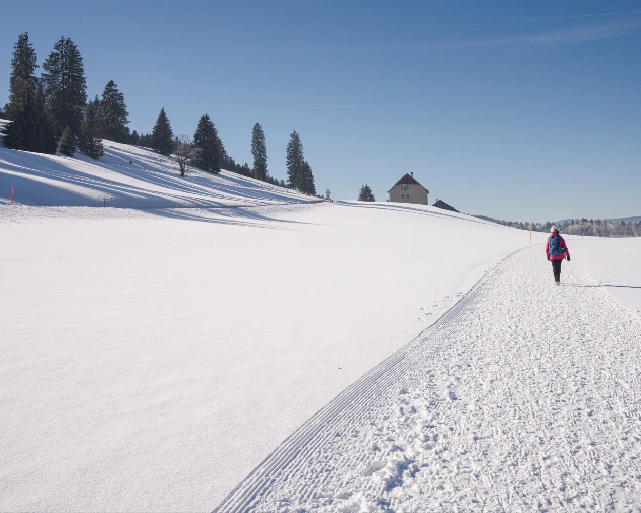
Don’t be afraid of the cold, entering the «Swiss Siberia» does not mean you will automatically be transformed into a block of ice, like the water of the Lac des Taillères, whose shorelines this route is following.
11 km140 m140 m3h 25mLandscape: Along the water,Through a Swiss Park,With panoramic views
Tour published by:
SwitzerlandMobility
Learn more on
schweizmobil.ch
| IC51 (30m) | |
| RE4 (41m) | |
| R20 (9m) | |
| 381 (21m) | |
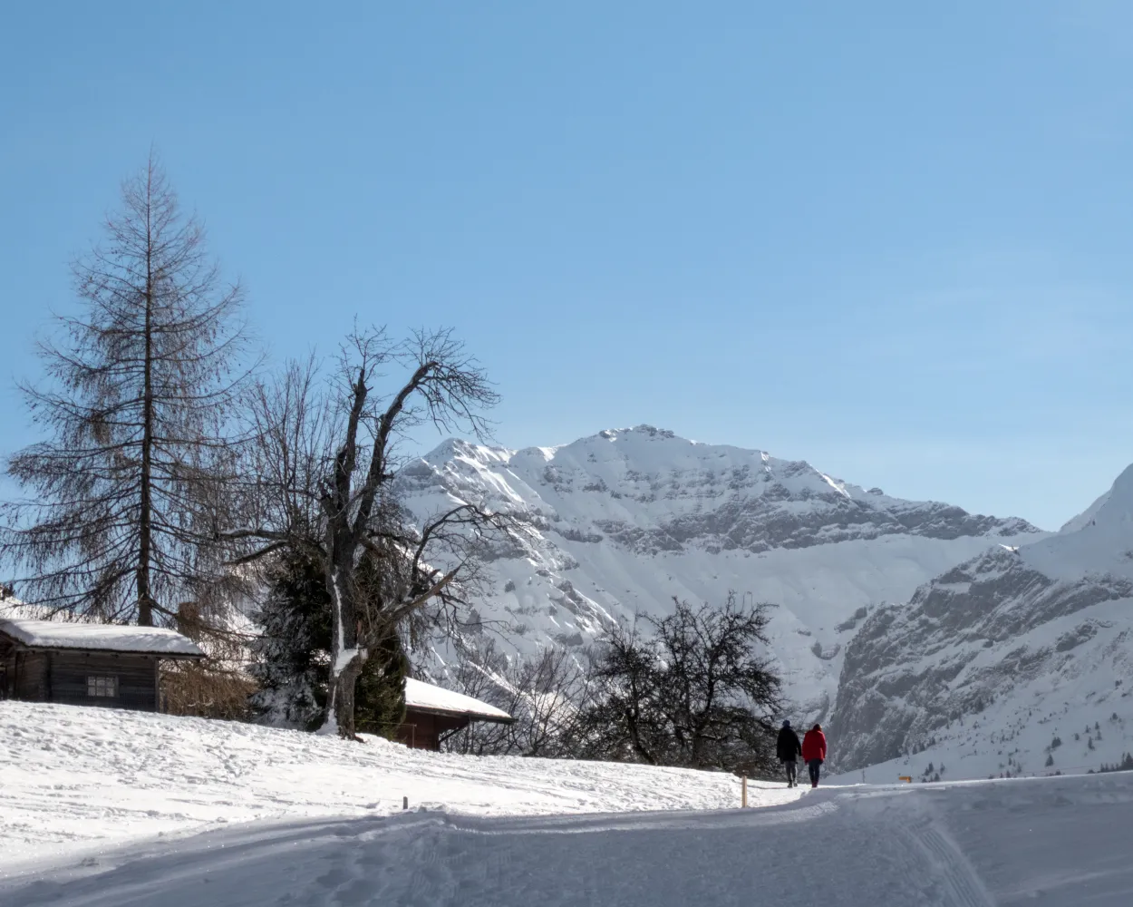
This winter hiking trail takes you to the most scenic lookout points around Aeschi. Several benches invite you to linger and admire the views. The ever-changing views of the Frutigtal valley, Mount Niesen, Lake Thun and the peaks above the fog line are without equal.
6 km200 m200 m2h 10mLandscape: With panoramic views,Through a Swiss Park
Tour published by:
SwitzerlandMobility
Learn more on
schweizmobil.ch
| IR56 (30m) | |
| IR65 (26m) | |
| IC81 (30m) | |
| 62 (9m) | |
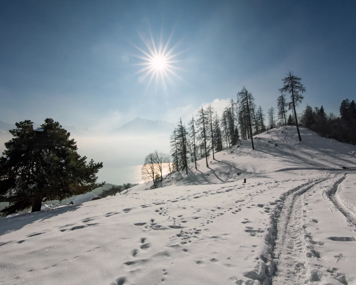
Romantic winter hiking trail high above Lake Thun, leading past the cantonal recuperation clinic and through glittering winter forests. Enjoy expansive views of the Bernese Alps above the fog line.
9 km240 m240 m3h 0mLandscape: With panoramic views,Onto an alp
Tour published by:
SwitzerlandMobility
Learn more on
schweizmobil.ch
| IC51 (30m) | |
| IR65 (26m) | |
| IC61 (19m) | |
| 31 (20m) | |
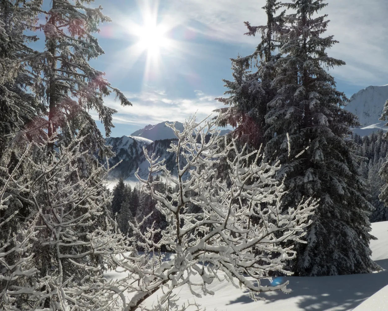
This simple circular trail begins at the famous Gurnigel mountain lodge. It explores the area along a well-groomed route, offering fantastic views of the Gantrisch Range peaks with the Nünenenflue, Gantrisch, Bürglen, and Ochse.
3 km170 m170 m1h 15mLandscape: With panoramic views,Through a Swiss Park
Tour published by:
SwitzerlandMobility
Learn more on
schweizmobil.ch
| IR56 (30m) | |
| S3 (31m) | |
| S44 (28m) | |
| 323 (33m) | |
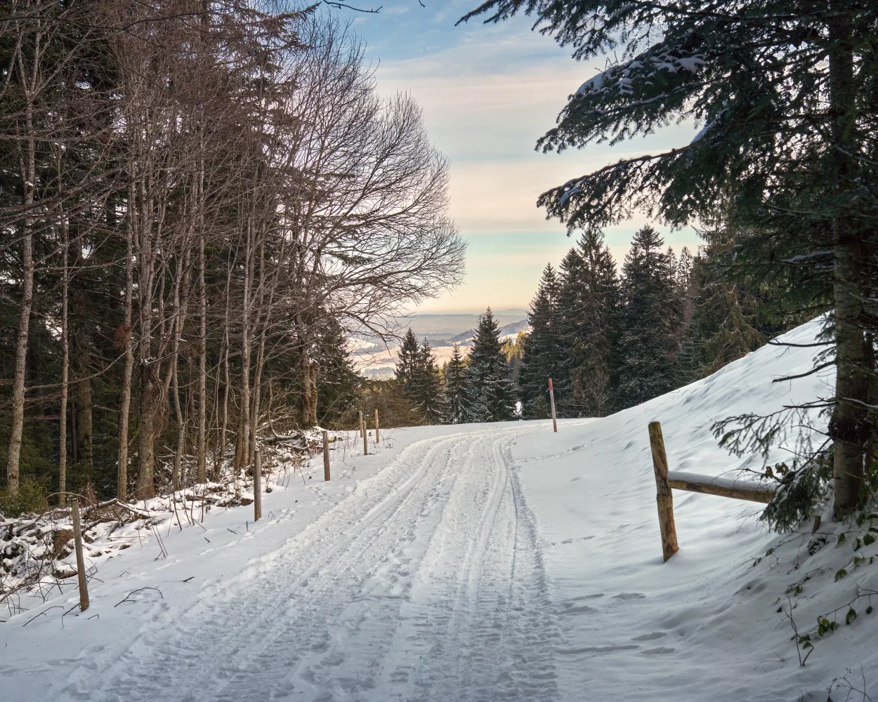
The Heiligkreuz 'place of power' is a real gem in the UNESCO Biosphere Entlebuch. It promises not only a feeling of energy and peace, but also sporty winter hiking trails in pristine nature. This trail leads via the Reistegg up to the First. Both places offer glorious views of the Napf hills.
6 km300 m300 m2h 10mLandscape: With panoramic views,Through a Swiss Park
Tour published by:
SwitzerlandMobility
Learn more on
schweizmobil.ch
| IC51 (30m) | |
| IR65 (26m) | |
| RE7 (52m) | |
| 233 (9m) | |
Much more on ovunta.com/en/map



