Discover a variety of scenic trails easily accessible from Bern by public transport. From riverside paths along the Aare to panoramic routes with Alpine views, these hikes offer diverse landscapes and experiences. Whether you're looking for a gentle stroll or a more challenging trek, there's something for every hiker just a short journey from the city.
The following hikes are sorted by travel time from Bern, making it easy to plan your next outdoor adventure. Check out the map to explore thousands of destinations and activities, reachable from any starting point in Switzerland.
Much more on ovunta.com/map

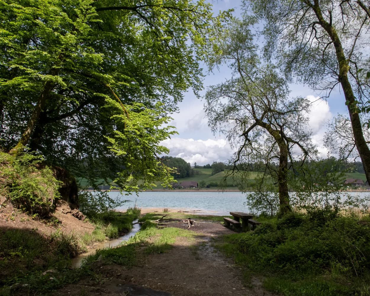
From Frauenkappelen, the path descends to Lake Wohlen and follows its shore and then the course of the Aare. Passing modern residential areas, old and new bridges, weirs and a power plant, you arrive at the Bear Park on the edge of Bern’s old town, via the mainly wide riverside path.
Tour published by:
SwitzerlandMobility
Learn more on
schweizmobil.ch

| Bern | |
| (2m) | |
| Bern Felsenau |
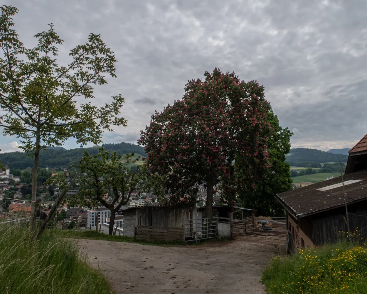
Delightful hike along the River Aare, first through urban areas, then through one of Switzerland’s loveliest river landscapes. The renaturation of the river banks has brought great benefit. Worb Castle is seen from afar but is not open to the public.
Landscape: Along the water
Tour published by:
SwitzerlandMobility
Learn more on
schweizmobil.ch

| Bern, Bahnhof | |
| (5m) | |
| Bern, Bärenpark |
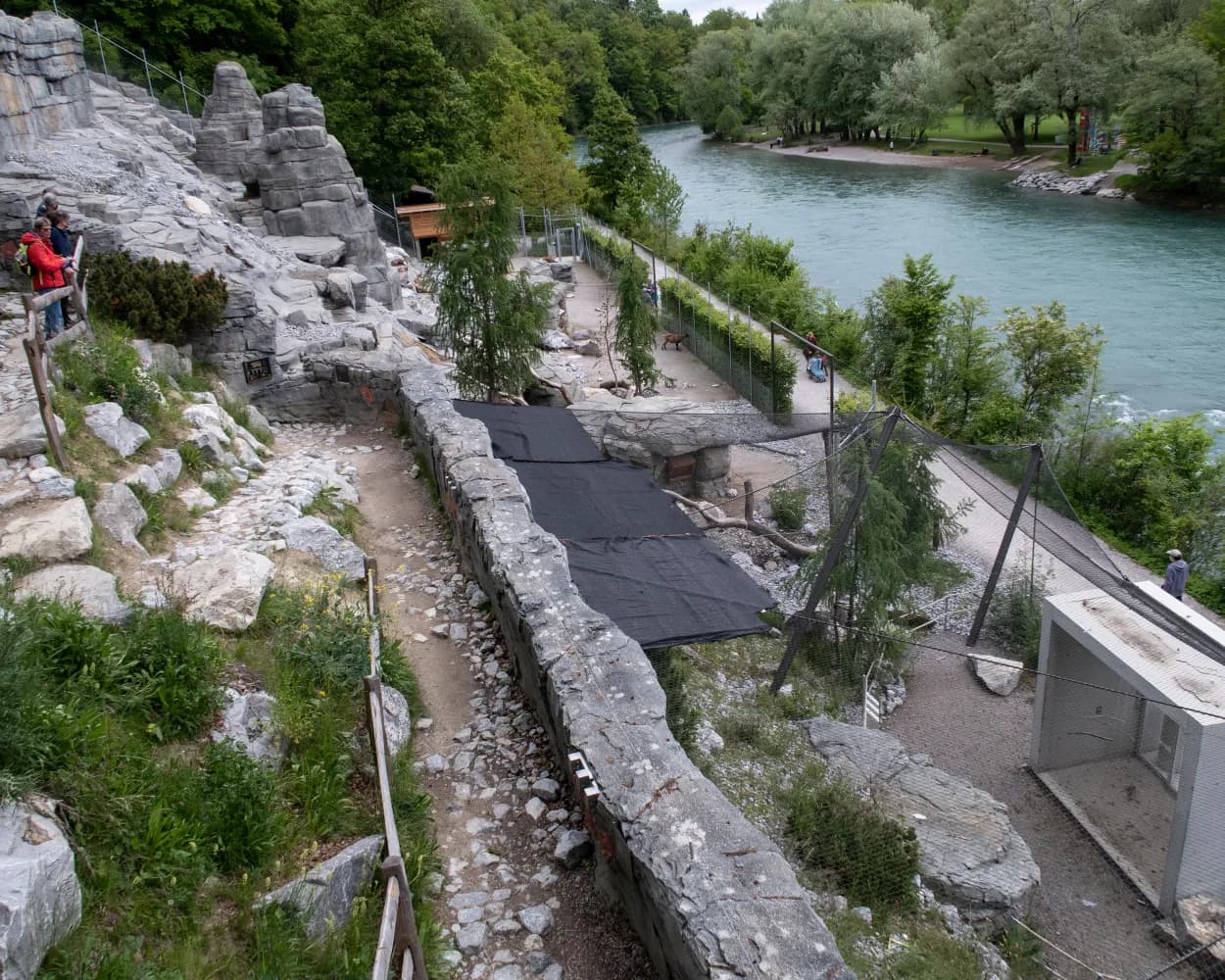
Passing the bear park, Marzili and the Dählhölzli animal park, you finally leave the capital heading upstream. After the Auguet bridge, you briefly follow the course of the Aare and the peculiar groundwater flow of the Giesse. The rest of the way continues on agricultural roads across the plain and along the foot of the Belpberg to Münsingen.
Tour published by:
SwitzerlandMobility
Learn more on
schweizmobil.ch

| Bern, Bahnhof | |
| (5m) | |
| Bern, Bärenpark |
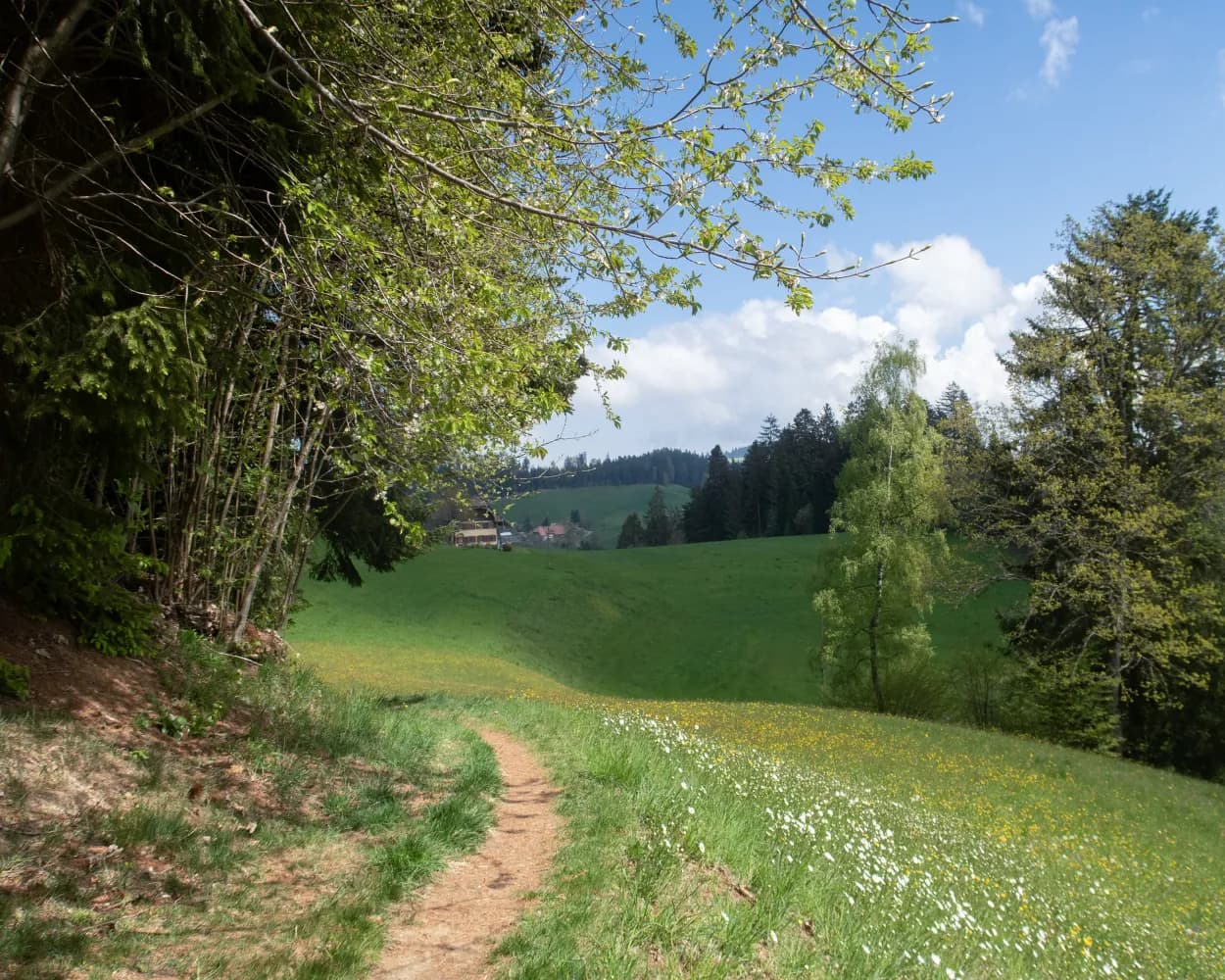
The villages get larger, the hills rounder and lower, but the views remain. After a short climb to the Blasenfluh, the rest of the hike is almost merely a pleasant downhill stroll to the wide Aaretal valley at Münsingen.
Tour published by:
SwitzerlandMobility
Learn more on
schweizmobil.ch

| Bern | |
| (12m) | |
| Münsingen |
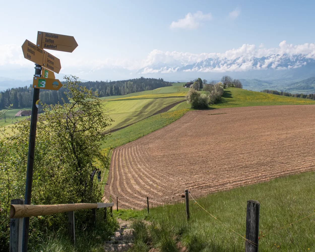
From the wide Aaretal over the Belpberg, standing in the landscape like a huge island, into Gürbetal vegetable country and up the Längenberg to the impressive ruins of Rüeggisberg Monastery. Repeated spectacular views of the Bernese Alps.
Tour published by:
SwitzerlandMobility
Learn more on
schweizmobil.ch

| Bern | |
| (12m) | |
| Münsingen |

This popular hiking and cycling trail starts in Burgdorf and runs for its whole length alongside the River Emme to Hasle bei Burgdorf. The route is ideal for tanking up on energy and total relaxation in beautiful surroundings.
Landscape: Along the water
Barrier free: Yes
Tour published by:
SwitzerlandMobility
Learn more on
schweizmobil.ch

| Bern | |
| (13m) | |
| Burgdorf |
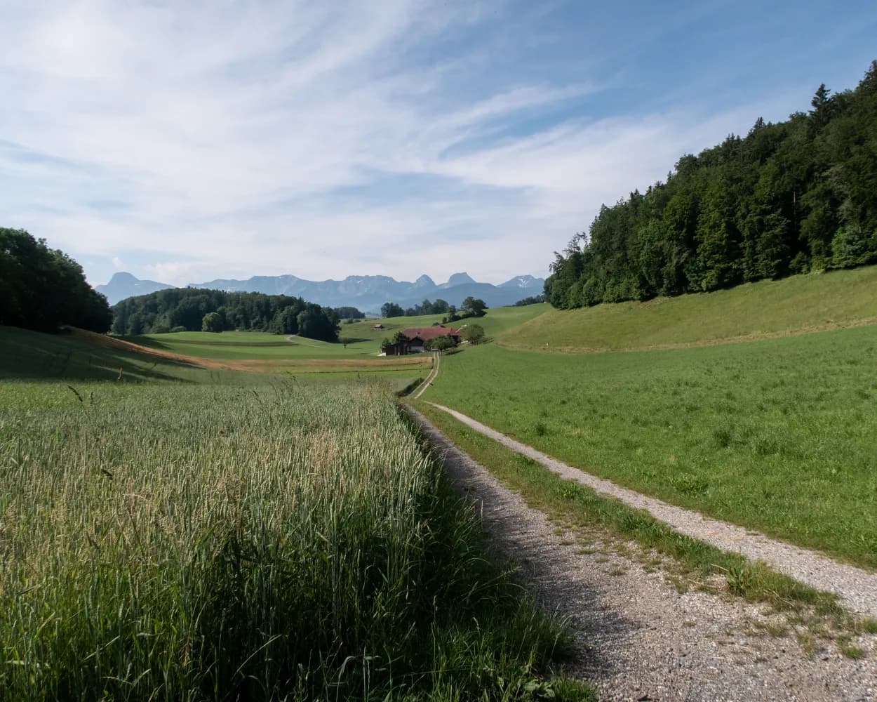
A perfect 18 km hike along the Gürbetaler Höhenweg Path close to the city of Berne, leading along the Längenberg and Gürbetal valley. An ideal hike for those who enjoy views of the distant Alps and have a cultural interest in farmhouses.
Landscape: With panoramic views
Tour published by:
SwitzerlandMobility
Learn more on
schweizmobil.ch

| Bern | |
| (13m) | |
| Kehrsatz |
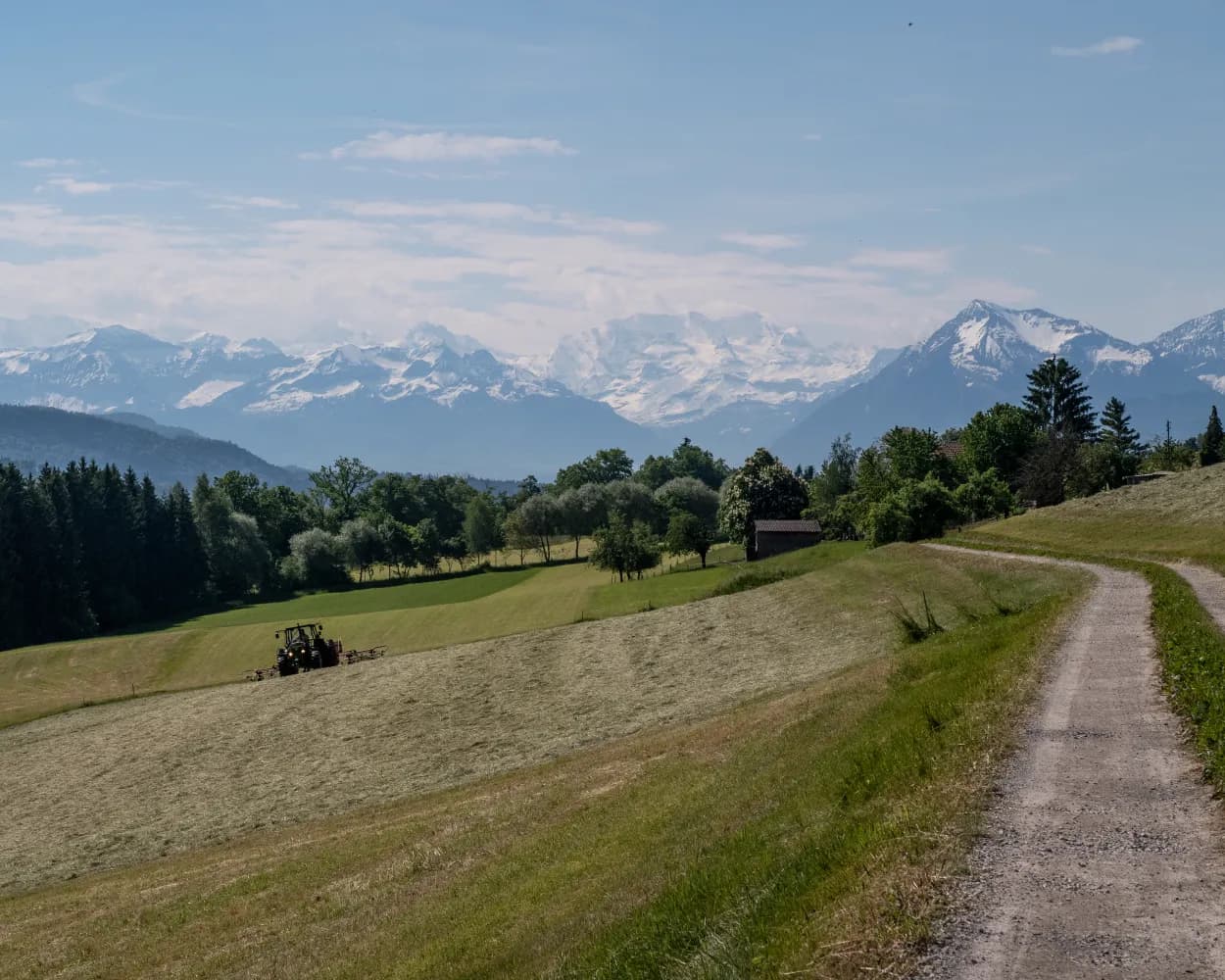
From Münsingen to Thun, you usually hike directly along the course of the Aare, which still largely follows its traditional, straightened canal. The end of this stage leads to the station through the picturesque old town, via the Bälliz alley and two imposing lock bridges.
Tour published by:
SwitzerlandMobility
Learn more on
schweizmobil.ch

| Bern | |
| (12m) | |
| Münsingen |
| Münsingen, Bahnhof | |
| (3m) | |
| Münsingen, Badi |
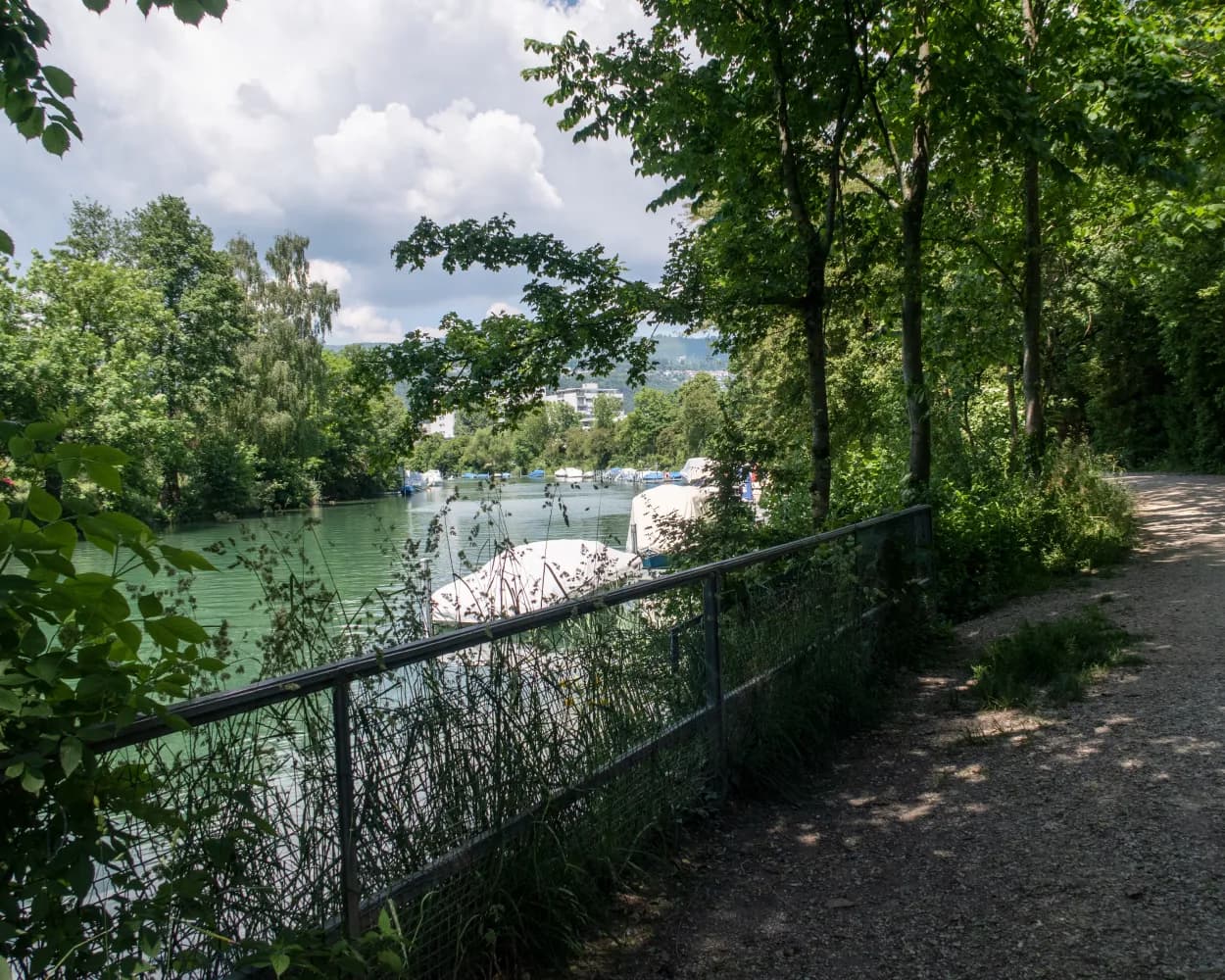
You leave Biel along the Thielle and via the Nidau-Büren Canal. The path climbs through the forest to Jäissberg: a Chnebelburg, a Celtic wall and the Petinesca temple complex invite you to explore. The hike ends at the Old Aare, on secluded paths along watercourses and through floodplain forests in medieval Aarberg.
Tour published by:
SwitzerlandMobility
Learn more on
schweizmobil.ch

| Bern | |
| (16m) | |
| Lyss |
| Lyss, Bahnhof | |
| (1m) | |
| Lyss, Parkschwimmbad |

Starting in the historical town of Thun with its mediaeval castle, the hike takes you past a number of idyllic places including Hünibach and Aeschlen, shortly before you reach the spectacular Sigriswil bridge with its panoramic views high above Lake Thun.
Landscape: Along the water,Over a suspension bridge,With panoramic views
Tour published by:
SwitzerlandMobility
Learn more on
schweizmobil.ch

| Bern | |
| (19m) | |
| Thun |