Discover a diverse range of hikes easily accessible from Liestal by public transport. From the gentle hills of Reigoldswil to the rugged Jura mountains, these trails offer something for every hiker. Explore gorges, forests, and panoramic viewpoints with routes that showcase the best of the region's natural beauty.
The following hikes are sorted by travel time from Liestal, making it easy to plan your next adventure. Check out the map to explore thousands of destinations and activities, reachable from any starting point in Switzerland.
Much more on ovunta.com/en/map
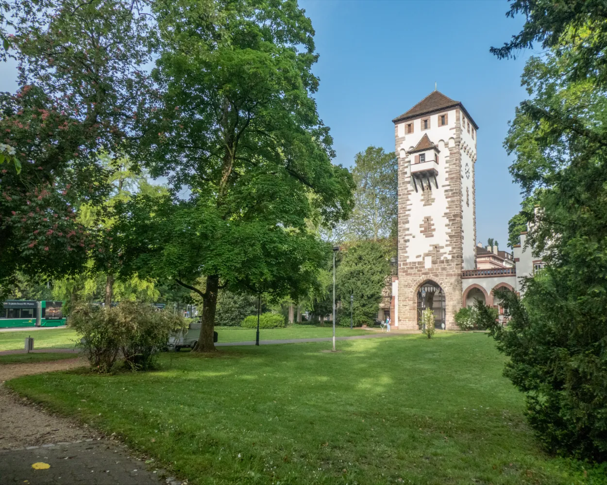
The route leads through the Baselbiet Tafeljura along the historic Hauenstein section. Along the track, built more than 150 years ago, you can discover many original constructions. The Ergolztal and Homburgertal valleys are home to impressive castles and fortress ruins as well as Switzerland's oldest railway bridges.
 21 km
21 km 660 m
660 m 420 m
420 m 5h 35m
Landscape: Past castles
Tour published by:
SwitzerlandMobility
Learn more on
schweizmobil.ch
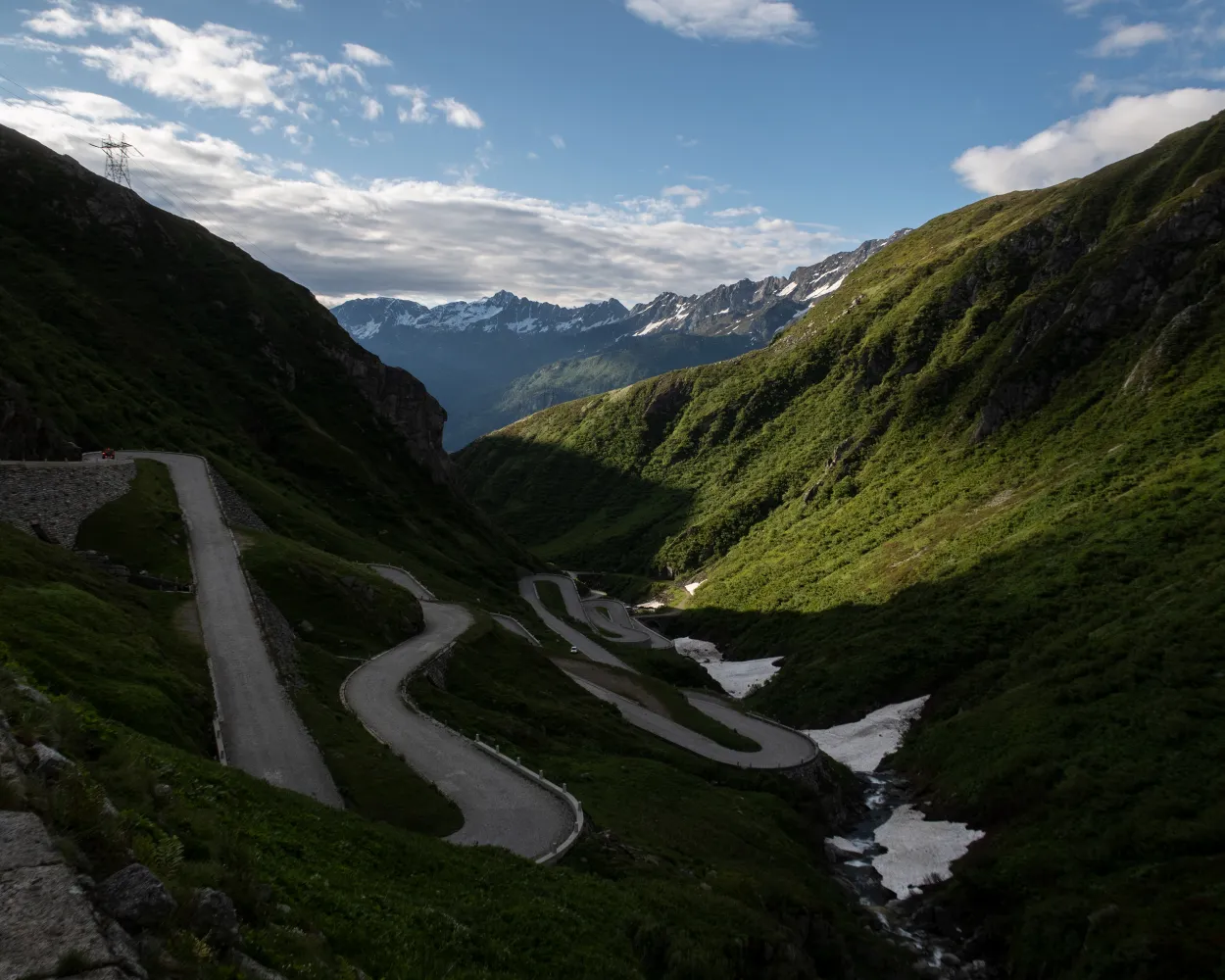
What would the Gotthard be without its access routes? The ViaGottardo reaches the central Alpine pass from Chiasso in the south, from Schaffhausen in the northeast and from Basel in the northwest of Switzerland. There are many traces of these transport links to discover along the way.
330 km10300 m10300 mLandscape: With panoramic views,Over a pass
Tour published by:
SwitzerlandMobility
Learn more on
schweizmobil.ch
| Liestal (08:47) | |
| S3 (5m) | |
| Itingen (08:52) |
The trail follows the Rhine along old fishing paths before crossing the Hardwald recreation area. Then comes a highlight of railway history: the Muttenz marshalling yard, one of the largest in Europe. The Bienenberg affords wonderful views across the Ergolztal valley.
20 km520 m480 m5h 20mTour published by:
SwitzerlandMobility
Learn more on
schweizmobil.ch
| Liestal (08:40) | |
| S3 (10m) | |
| Muttenz (08:50) |
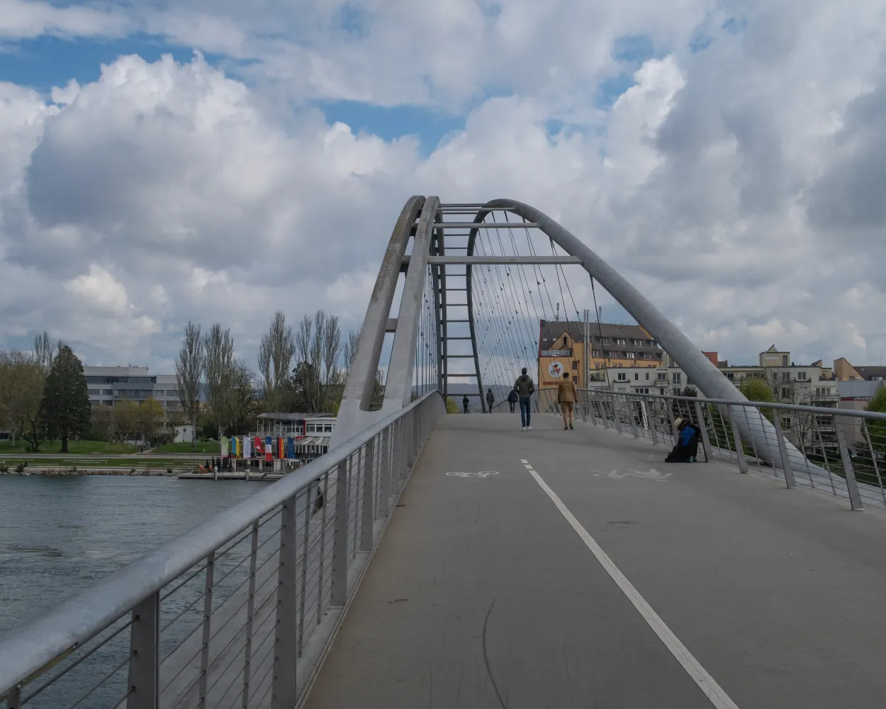
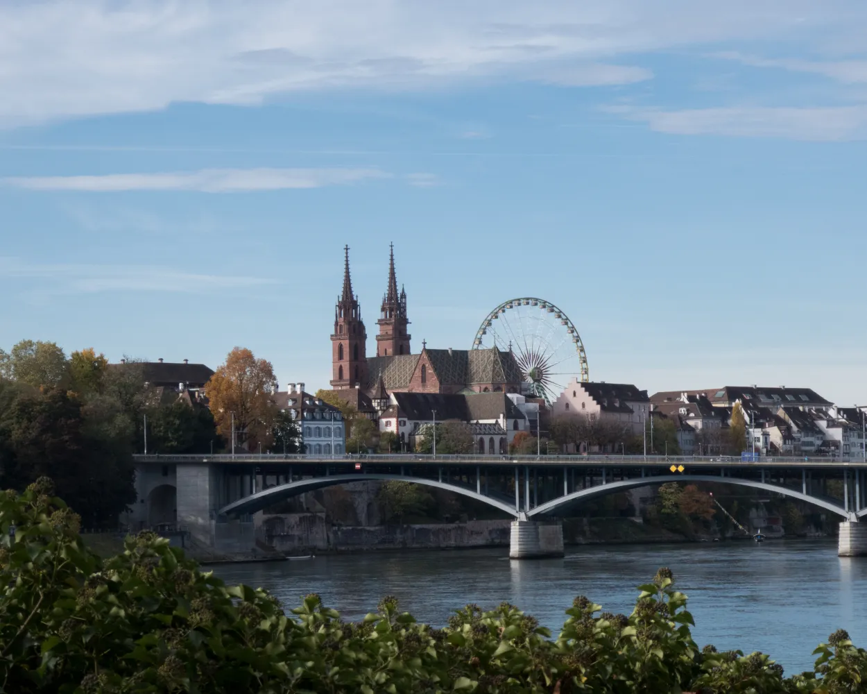
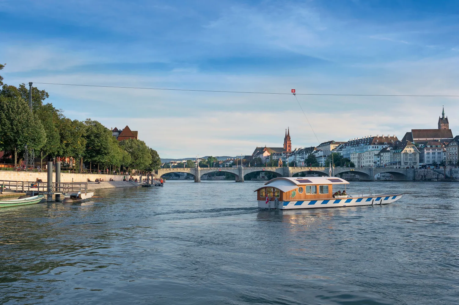
With a detour into the neighbouring country, this route is taking a wide arc around Basel. The hike is marked by impressions along the Rhine, variety in the Markgräfler vineyard region and constantly changing views of the city.
43 km900 m900 mLandscape: Along the water
Tour published by:
SwitzerlandMobility
Learn more on
schweizmobil.ch
| Liestal (08:36) | |
| IR27 (10m) | |
| Basel SBB (08:46) |
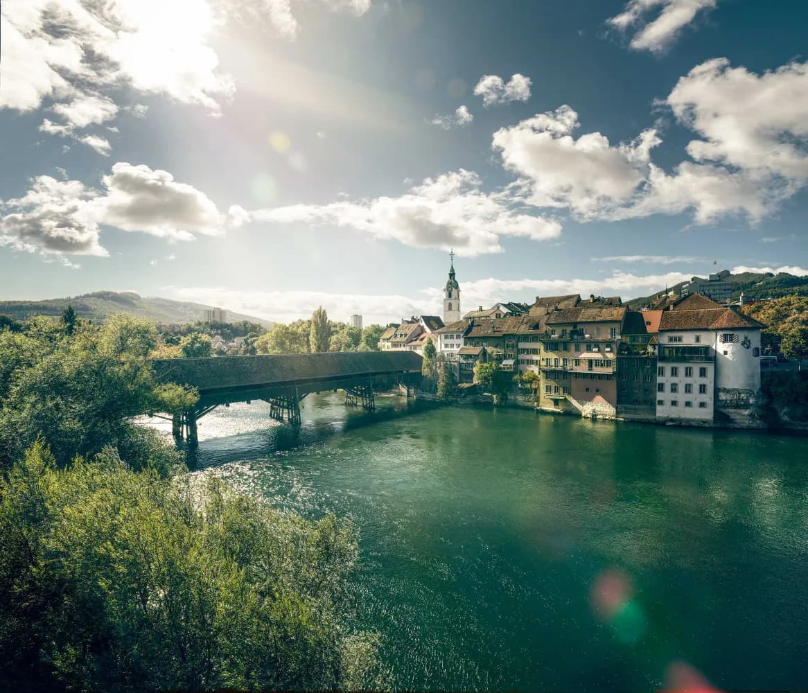
This stage begins with a city hike past some of Basel’s highlights. It is characterised by its alternation between city and countryside. At its end, it runs along the banks of the Birs to the destination point, Riehen Cemetery, the largest final resting place in Switzerland.
16 km200 m190 m4h 0mLandscape: Along the water
Tour published by:
SwitzerlandMobility
Learn more on
schweizmobil.ch
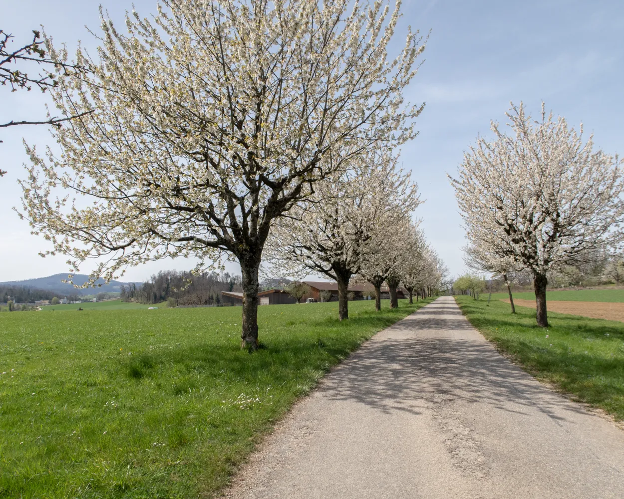
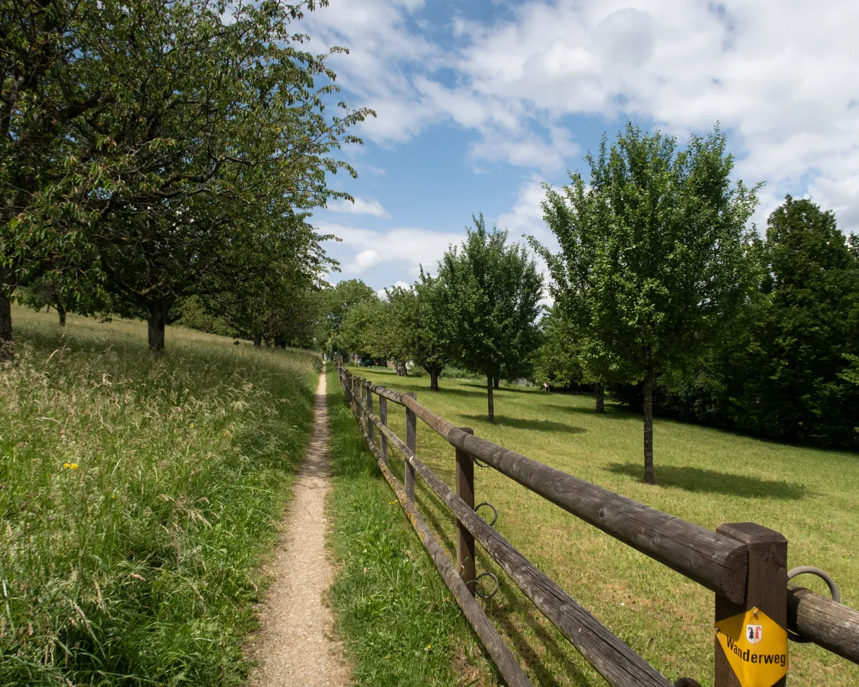
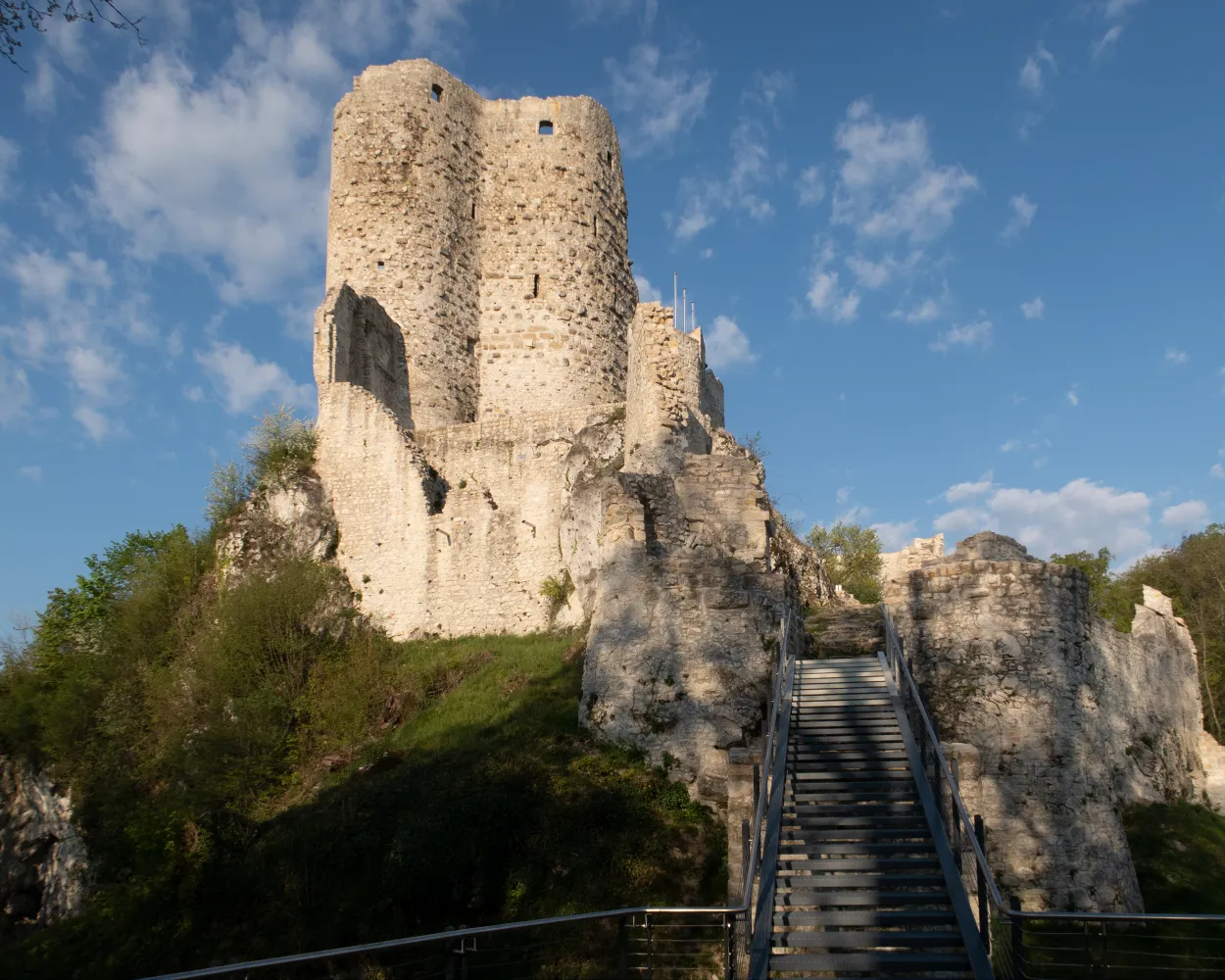
A romantic walk on a plateau bordered by cherry trees in the Basel region, taking the walker back to the Middle Ages with a visit to the castle of Schloss Wildenstein. The last third of the walk overlaps with the path of the Erlebnisweg Titterten and the Rifensteiner Sagenweg.
16 km580 m400 m4h 30mLandscape: With panoramic views
Tour published by:
SwitzerlandMobility
Learn more on
schweizmobil.ch
| Liestal, Bahnhof (08:40) | |
| 72 (2m) | |
| Liestal, Burg (08:42) |
The ViaJura leads through the Birs and Schüss valleys from Basel via Delsberg to Biel. It runs over historically valuable sections, including the legend-steeped Glögglifelspass, the exposed Mont Raimeux and the Pierre Pertuis Roman rock arch.
130 km4200 m4100 mLandscape: With panoramic views,Through a gorge,Along the water
Tour published by:
SwitzerlandMobility
Learn more on
schweizmobil.ch
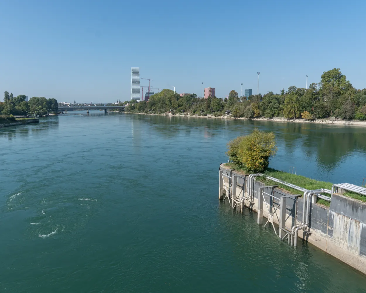
The route via the Untersee lake and Hochrhein river was for centuries Switzerland's most important waterway. Today, it follows the ViaRhenana from Kreuzlingen via Schaffhausen to Basel, through a varied landscape shaped by water.
195 km3100 m3200 mLandscape: Along the water
Tour published by:
SwitzerlandMobility
Learn more on
schweizmobil.ch
| Liestal (08:40) | |
| S3 (6m) | |
| Pratteln (08:46) |
| Pratteln, Bahnhof Süd (08:52) | |
| 80 (4m) | |
| Pratteln, Saline (08:56) |
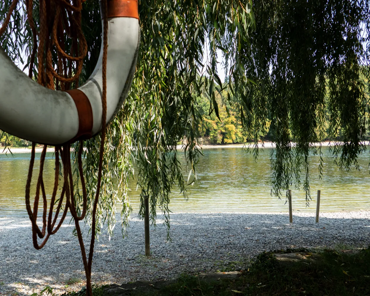
On ancient fishing-paths the trail follows the high banks of the Rhein river, strongly influenced by the industrial and traffic infrastructure of Basel's catchment area. Information boards show topics linked to the Rhine: the harbour, fishing-cottages or river power stations. Also impressive: the ruins of Augusta Raurica.
19 km240 m280 m4h 40mLandscape: Along the water
Tour published by:
SwitzerlandMobility
Learn more on
schweizmobil.ch
A short hike out of the big city of Basel, along a medieval canal and the banks of the Birs, past Switzerland's largest football stadium and the Reinacher Heide nature reserve. Experience how nature is given space in a settlement area.
14 km130 m100 m3h 20mTour published by:
SwitzerlandMobility
Learn more on
schweizmobil.ch
| Liestal (08:36) | |
| IR27 (10m) | |
| Basel SBB (08:46) |
| Basel, Bahnhof SBB (08:53) | |
| 3 (4m) | |
| Basel, Hardstrasse (08:57) |


