Discover a world of accessible adventures reachable by public transport from the charming alpine resort of Gstaad. From scenic riverside paths to lakeside promenades, these routes offer a diverse range of experiences for everyone to enjoy. Wander along the tranquil Saane River, take in panoramic views in Schönried, or explore further afield to the shores of Lake Geneva and beyond.
The following destinations are sorted by travel time from Gstaad, making it easy to plan your next accessible outing. Check out the map to explore thousands of destinations and activities, reachable from any starting point in Switzerland.
Much more on ovunta.com/en/map
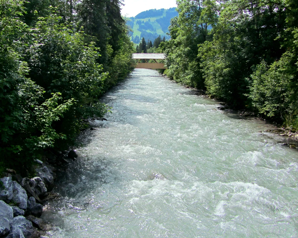
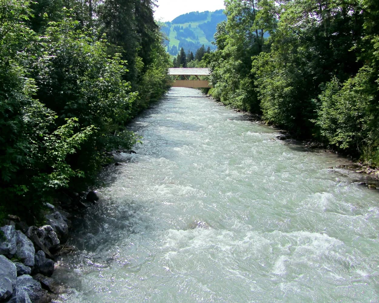
This route leads from Gstaad to Saanen along the tranquil banks of the River Saane. An easy path that is notable for its impressive far-reaching views over this enchanting region.
 3 km
3 km 10 m
10 m 50 m
50 m 50m
50m
Barrier free: Yes

Landscape: Along the water
Tour published by:
SwitzerlandMobility
Learn more on
schweizmobil.ch
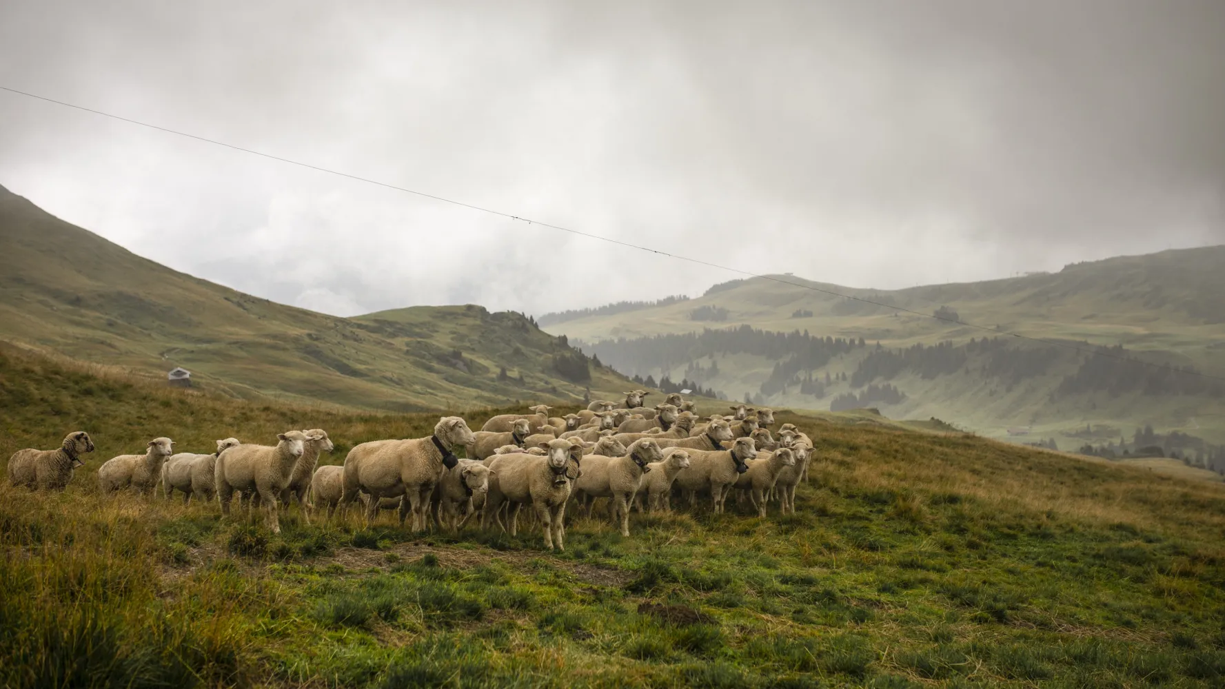
From Lenk via the Wallegggraben, up into lynx territory, through a damp, eroded limestone region with far-reaching views. Over the Trüttlisbergpass and through the long Turbachtal valley with its varied history down to the sophistication of Gstaad.
22 km1150 m1200 m7h 0mLandscape: Along the water,Over a pass,With panoramic views
Tour published by:
SwitzerlandMobility
Learn more on
schweizmobil.ch
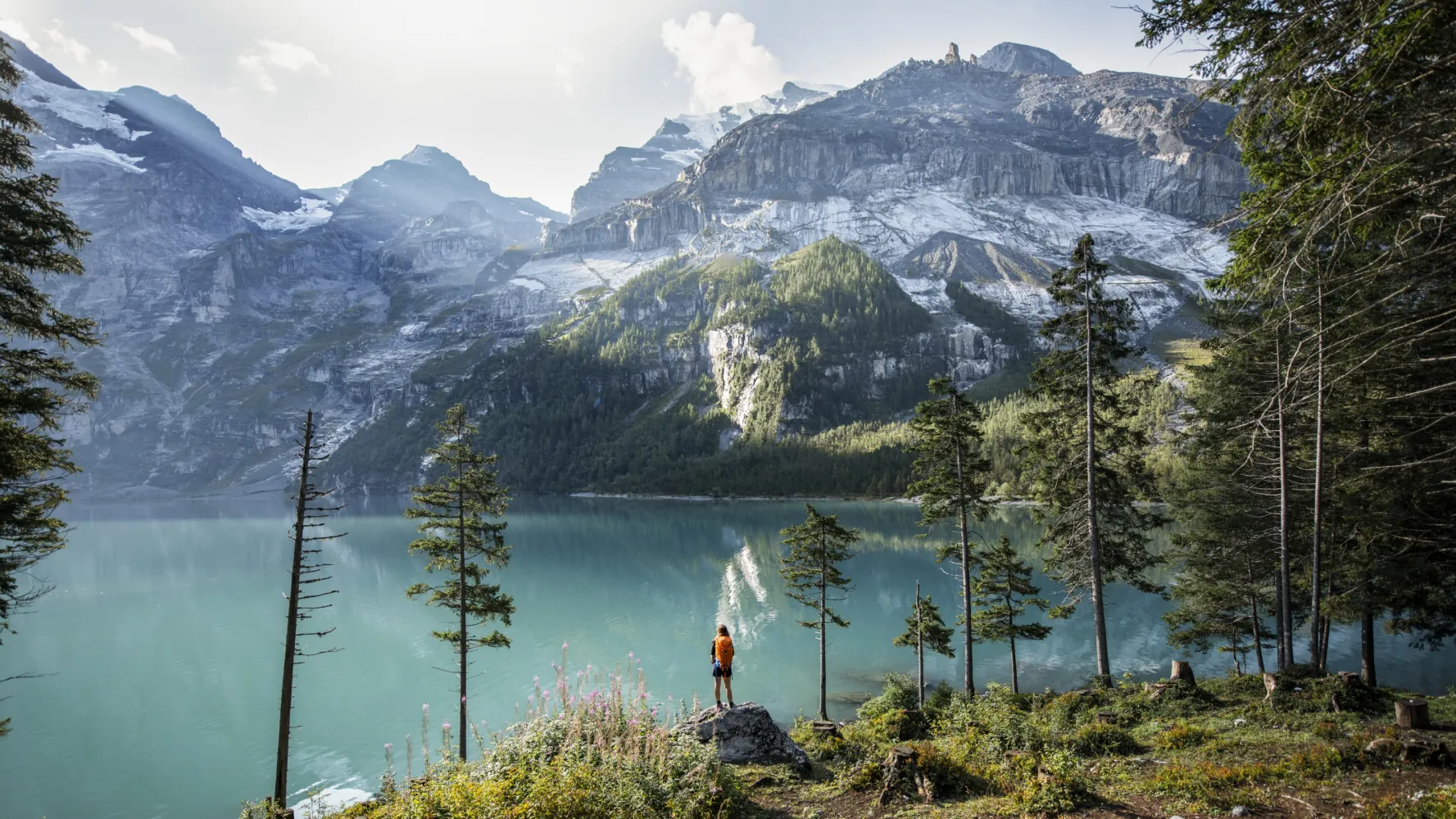
The Via Alpina crosses 14 of the most beautiful Alpine passes. Straight through seven Swiss cantons with a vast variety of culture, geology and topography. Wide roads end in high ridge trails. The route is lined with one of the world’s most diverse variety of flora and fauna.
390 km23500 m24800 mLandscape: Over a pass,With panoramic views,Onto a mountain peak
Tour published by:
SwitzerlandMobility
Learn more on
schweizmobil.ch
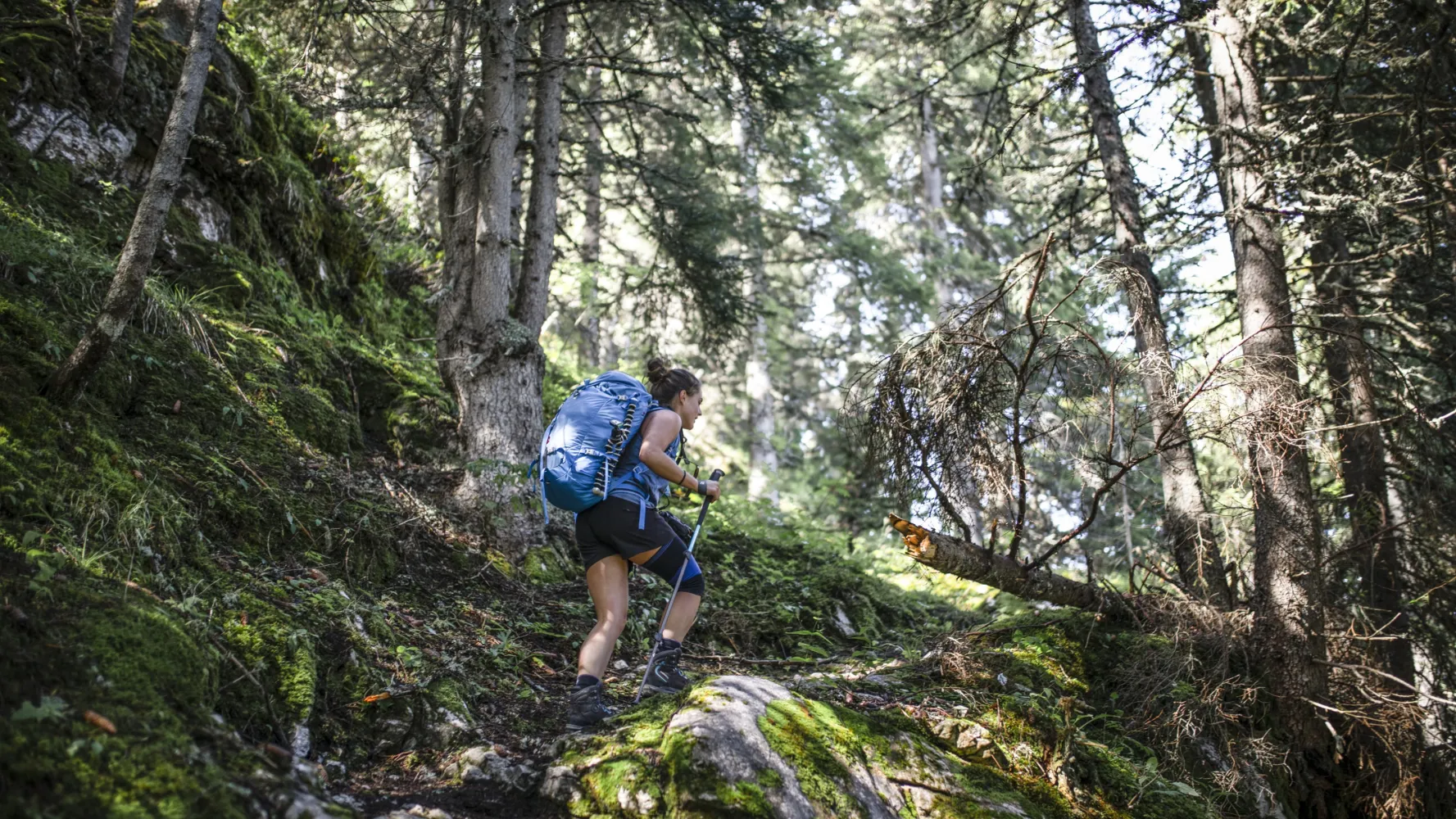
Panoramic high-level path past Berghaus Eggli and the Wilde Bode limestone karren area to the language border at Col de Jable. Many traditional alp huts with large shingle roofs and cheesemaking in copper cauldrons high above Etivaz.
16 km1250 m1200 m6h 25mTour published by:
SwitzerlandMobility
Learn more on
schweizmobil.ch
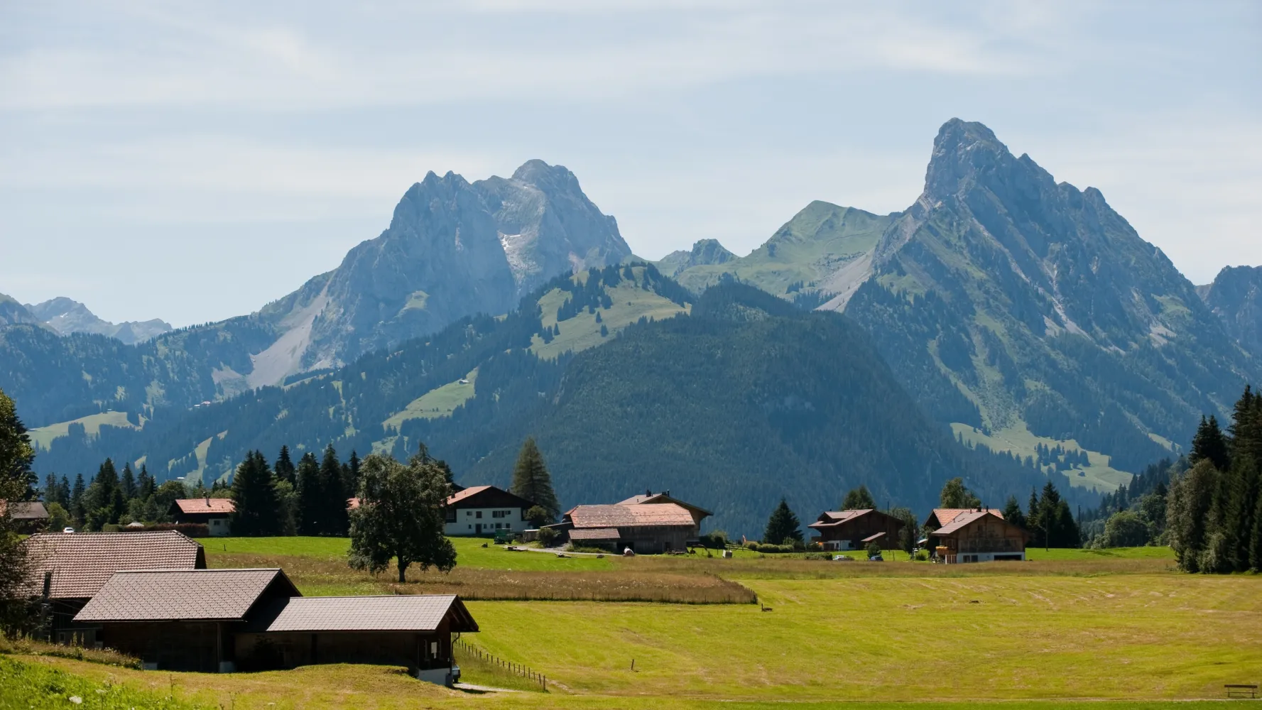
This route begins in the charming village of Saanenmöser and leads to the chalet village of Schönried. The intact nature of the enchanting landscape seen along this tranquil path is reminiscent of an typical Swiss picture postcard.
3 km20 m50 m40mBarrier free: Yes
Landscape: With panoramic views
Tour published by:
SwitzerlandMobility
Learn more on
schweizmobil.ch
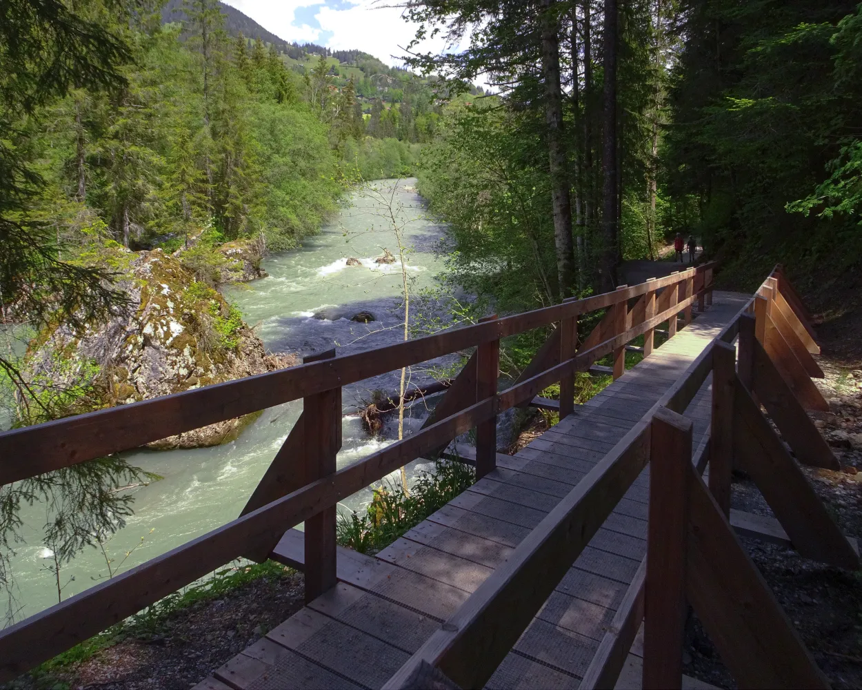
From Rougemont, which was once the priory of Cluny, the trial goes over the Kirchenhügel from Château-d'Oex to the Grand Chalet of Rossinière. It goes between the rushing Saane and landscape steeped in history, moulded by the mountain farmers.
14 km360 m460 m3h 50mLandscape: With panoramic views
Tour published by:
SwitzerlandMobility
Learn more on
schweizmobil.ch
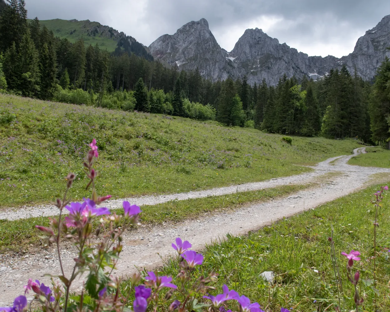
Setting off from the hot air balloon Mecca of Château-d’Oex, you will walk along the river Saane to Gérignoz. There is a steep climb up to the nature conservation area of La Pierreuse. Surrounded by eroded mountain peaks, you will walk to the highest point at 2,000 metres. After that comes a steep descent to L’Etivaz.
14 km1200 m1000 m5h 30mLandscape: With panoramic views,Through a Swiss Park
Tour published by:
SwitzerlandMobility
Learn more on
schweizmobil.ch
From vineyards through Alpine pastures to ancient mountain villages, alp dairies with tasty raw-milk cheese, lonely mountain lakes, sweeping views and deep gorges. The 8-day round tour combines the most beautiful highlights of the Canton Vaud Alps.
130 km7400 m7400 mLandscape: With panoramic views,Onto an alp
Tour published by:
SwitzerlandMobility
Learn more on
schweizmobil.ch
| 30 (16m) | |
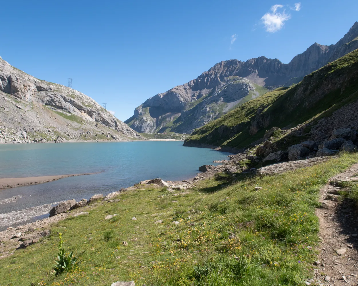
Starting in the Bernese Oberland, the stage leads from Gsteig near Gstaad along old mule trails over the Col du Sanetsch – a historic pass into Valais. Enjoy magnificent panoramic views of the Valais Alps and the glacier world of Les Diablerets.
13 km1150 m280 m4h 45mLandscape: With panoramic views,Over a pass,Onto an alp
Tour published by:
SwitzerlandMobility
Learn more on
schweizmobil.ch
| 180 (15m) | |
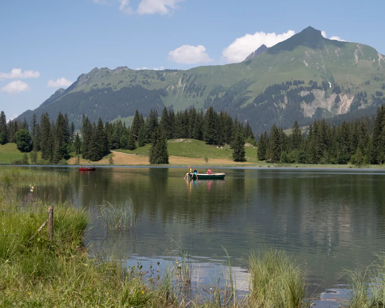
An absolute classic! This very varied tour from Gstaad to Lauenen is perfect for families. An enjoyable hike indeed, it also affords picturesque views from the Höhi Wispile. The highlight is the legendary Lake Lauenen.
14 km300 m950 m4h 0mLandscape: With panoramic views
Tour published by:
SwitzerlandMobility
Learn more on
schweizmobil.ch
| 181 (15m) | |



