Logo
Blog
To the map
Blog header image

Winter Hikes from Gstaad by public transport

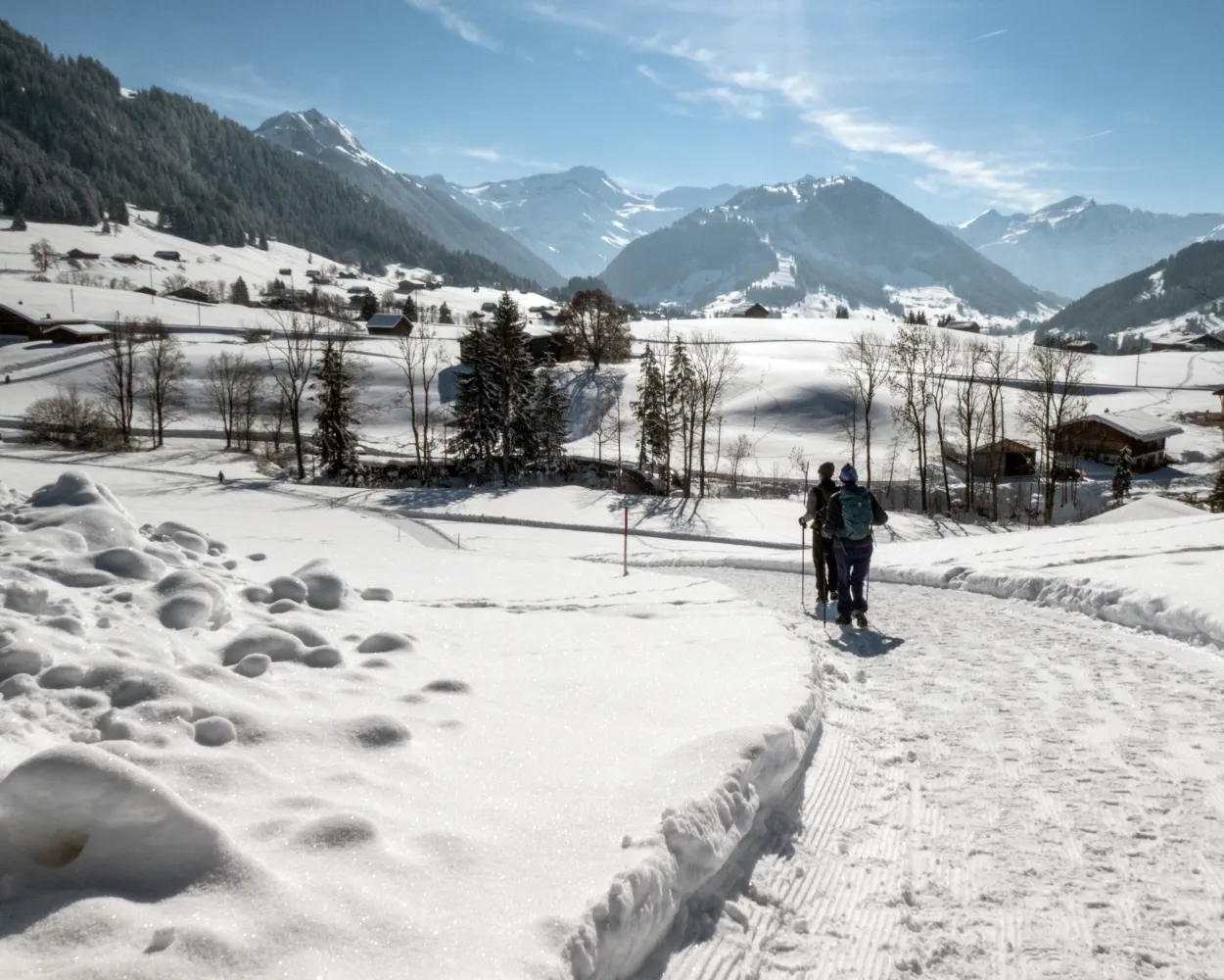
Relaxed or more challenging: these winter hikes are all reachable from Gstaad by public transport. From easy panoramic walks to longer alpine routes, there’s something for every level of winter hiker.

The destinations below are sorted by travel time from Gstaad to make planning easier. Be sure to check the map to explore all winter hikes and thousands of other outdoor activities reachable from any starting point in Switzerland.
Much more on ovunta.com/en/map

Discover other activities close to Gstaad

  • Scenic Mountain Trails: Gstaad's Best Hikes
  • Accessible Adventures near Gstaad
  • Cross-country skiing resorts from Gstaad by public transport
  • Leave from Gstaad, Arrive on the Slopes: Ski Destinations Accessible by Transit
  • Snowshoeing from Gstaad by public transport

Start from elsewhere?

  • Winter Hikes from Montreux by public transport
  • Winter Hikes from Martigny by public transport
  • Winter Hikes from Visp by public transport
1/10

Gruben-Winterwanderweg

You are already there! Start directly from Gstaad.

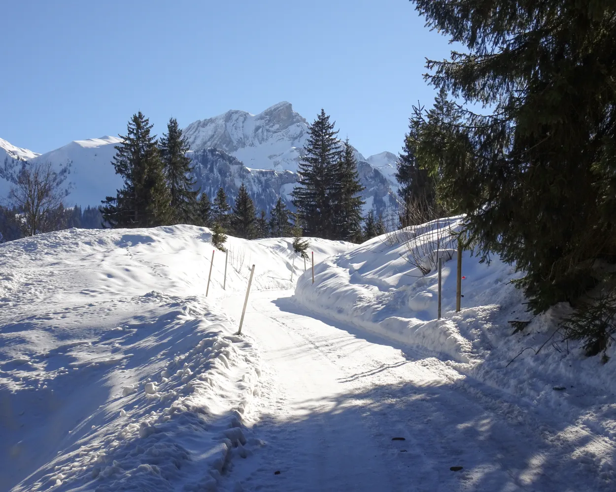
This continual downhill run from Schönried to Gstaad and varied hike for enthusiastic hikers boasts views of towering mountain peaks, idyllic meadows and the historic heart of the Saanenland.

dist5 km
|
asce70 m
|
desc240 m
|
dura1h 25m

    Tour published by:

    SwitzerlandMobility

    Learn more on
    schweizmobil.ch

    How to get to Gruben-Winterwanderweg

    Start directly from Gstaad
    2/10

    Saanenmöser-Schönried-Winterwanderweg

    Minimum travel time: 7m to Schönried

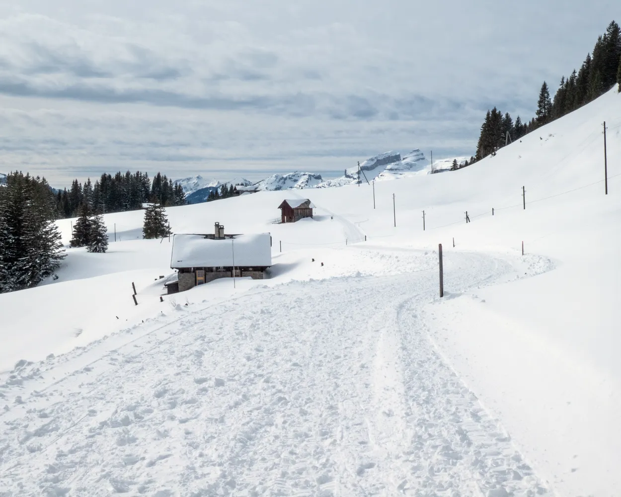
    After leaving Saanenmöser, winter walkers reach Schönried via a hiking trail with forests on either side. The view on the Horneggli and Schönried is the highlight of this popular route.

    dist5 km
    |
    asce110 m
    |
    desc140 m
    |
    dura1h 30m

      Tour published by:

      SwitzerlandMobility

      Learn more on
      schweizmobil.ch

      How to get to Saanenmöser-Schönried-Winterwanderweg

      Fastest connection from Gstaad to Schönried: 7m
      R32 (7m)
      Search Connections & Buy Tickets on SBB
      3/10

      Wispile-Gsteig-Winterwanderweg

      Minimum travel time: 16m to Gsteig b. Gstaad, Post

      With the Horneggli, Eggli and Wasserngrat in view, this panoramic route takes you over meadows and past idyllic sections of forest from the Wispile down to the historic village of Gsteig at the foot of the Col du Pillon.

      dist9 km
      |
      asce120 m
      |
      desc840 m
      |
      dura3h 0m

        Tour published by:

        SwitzerlandMobility

        Learn more on
        schweizmobil.ch


        How to get to Wispile-Gsteig-Winterwanderweg

        Fastest connection from Gstaad to Gsteig b. Gstaad, Post: 16m
        Walk from to
        180 (15m)
        Search Connections & Buy Tickets on SBB
        4/10

        Lauenensee-Winterwanderweg

        Minimum travel time: 18m to Lauenen b. Gstaad, Rohrbrücke

        The mountain village of Lauenen is set between Gstaad and the majestic Wildhorn. From here you walk up to the much-praised Lake Lauenen. This hiking route is renowned for its silence and seclusion.

        dist9 km
        |
        asce240 m
        |
        desc240 m
        |
        dura2h 50m
        • land

          Landscape: With panoramic views,Along the water

        Tour published by:

        SwitzerlandMobility

        Learn more on
        schweizmobil.ch


        How to get to Lauenensee-Winterwanderweg

        Fastest connection from Gstaad to Lauenen b. Gstaad, Rohrbrücke: 18m
        Walk from to
        181 (17m)
        Search Connections & Buy Tickets on SBB
        5/10

        Chemin Isenau–Col du Pillon

        Minimum travel time: 36m to Col-du-Pillon (téléphérique)

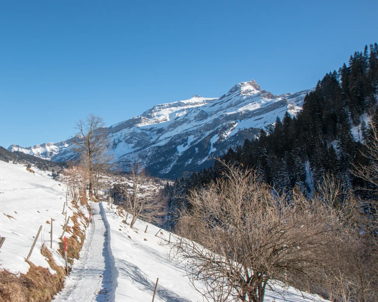
        The winter walk between the Col du Pillon and Isenau offers spectacular views of the Les Diablerets mountains and the peaks surrounding Les Diablerets and passes by Lake Retaud situated in a basin on the south side of the Palette and frozen in winter.

        dist7 km
        |
        asce280 m
        |
        desc280 m
        |
        dura2h 30m

          Tour published by:

          SwitzerlandMobility

          Learn more on
          schweizmobil.ch


          How to get to Chemin Isenau–Col du Pillon

          Fastest connection from Gstaad to Col-du-Pillon (téléphérique): 36m
          Walk from to
          180 (25m)
          Walk from to
          Search Connections & Buy Tickets on SBB
          6/10

          Chemin Les Diablerets–Vers l’Eglise

          Minimum travel time: 44m to Les Diablerets

          This winter walk is a chance to explore the charming little village of Vers-l'Eglise. Part of the route follows the «Grande Eau» river, the other takes you up to the hills above the village, offering exceptional views of the Les Diablerets mountains and the village.

          dist4 km
          |
          asce110 m
          |
          desc110 m
          |
          dura1h 25m

            Tour published by:

            SwitzerlandMobility

            Learn more on
            schweizmobil.ch


            How to get to Chemin Les Diablerets–Vers l’Eglise

            Fastest connection from Gstaad to Les Diablerets: 44m
            Walk from to
            180 (39m)
            Walk from to
            Search Connections & Buy Tickets on SBB
            7/10

            Chemin Les Mosses–La Lécherette

            Minimum travel time: 55m to La Lécherette, village

            Nestled between Pays-d’Enhaut, Gruyère and the Riviera, the magical resort of Col des Mosses in the Vaud Alps benefits from an exceptional setting. Developed on an area of marshland, called “la Mosse” by the people of Ormont, this relaxing, magical walk is an invitation to linger.

            dist7 km
            |
            asce170 m
            |
            desc170 m
            |
            dura2h 20m

              Tour published by:

              SwitzerlandMobility

              Learn more on
              schweizmobil.ch


              How to get to Chemin Les Mosses–La Lécherette

              Fastest connection from Gstaad to La Lécherette, village: 55m
              30 (22m)
              Walk from to
              175 (26m)
              Search Connections & Buy Tickets on SBB
              8/10

              Jaunpass-Bäderegg-Weg

              Minimum travel time: 1h 10m to Jaunpass, Restaurant

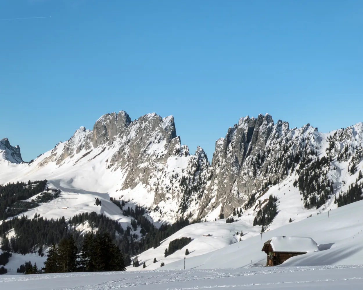
              You are in for a wild experience: With the Wildstrubel massif and the wild spikes of Gastlosen in view, the winter hiking trail leads to Bäderegg through snowy meadows over the vast pass landscape.

              dist6 km
              |
              asce170 m
              |
              desc170 m
              |
              dura1h 55m

                Tour published by:

                SwitzerlandMobility

                Learn more on
                schweizmobil.ch


                How to get to Jaunpass-Bäderegg-Weg

                Fastest connection from Gstaad to Jaunpass, Restaurant: 1h 10m
                30 (31m)
                R11 (8m)
                Walk from to
                259 (22m)
                Search Connections & Buy Tickets on SBB
                9/10

                Chemin du Renardeau

                Minimum travel time: 1h 23m to Leysin, En Crettaz

                A lovely walk in the countryside with the delightful surprise of spotting deer in the clearing of the forest. Stop off at the “snow village” at the Tobogganing Park to visit the magical land of igloos.

                dist4 km
                |
                asce100 m
                |
                desc100 m
                |
                dura1h 20m
                • land

                  Landscape: With panoramic views,Through a Swiss Park

                Tour published by:

                SwitzerlandMobility

                Learn more on
                schweizmobil.ch


                How to get to Chemin du Renardeau

                Fastest connection from Gstaad to Leysin, En Crettaz: 1h 23m
                Walk from to
                180 (39m)
                Walk from to
                R71 (19m)
                Walk from to
                175 (7m)
                Search Connections & Buy Tickets on SBB
                10/10

                Rundweg Leiterli–Steinstoss

                Minimum travel time: 1h 28m to Leiterli (Bergstation)

                Moderate winter hike at the edge of the Lenk–Betelberg ski resort with spectacular panoramic view of the mountains of the western Bernese Oberland. Also impressive: the bizarre Gryden.

                dist3 km
                |
                asce150 m
                |
                desc150 m
                |
                dura1h 10m

                  Tour published by:

                  SwitzerlandMobility

                  Learn more on
                  schweizmobil.ch


                  How to get to Rundweg Leiterli–Steinstoss

                  Fastest connection from Gstaad to Leiterli (Bergstation): 1h 28m
                  R32 (55m)
                  Walk from to
                  2380 (18m)
                  Search Connections & Buy Tickets on SBB