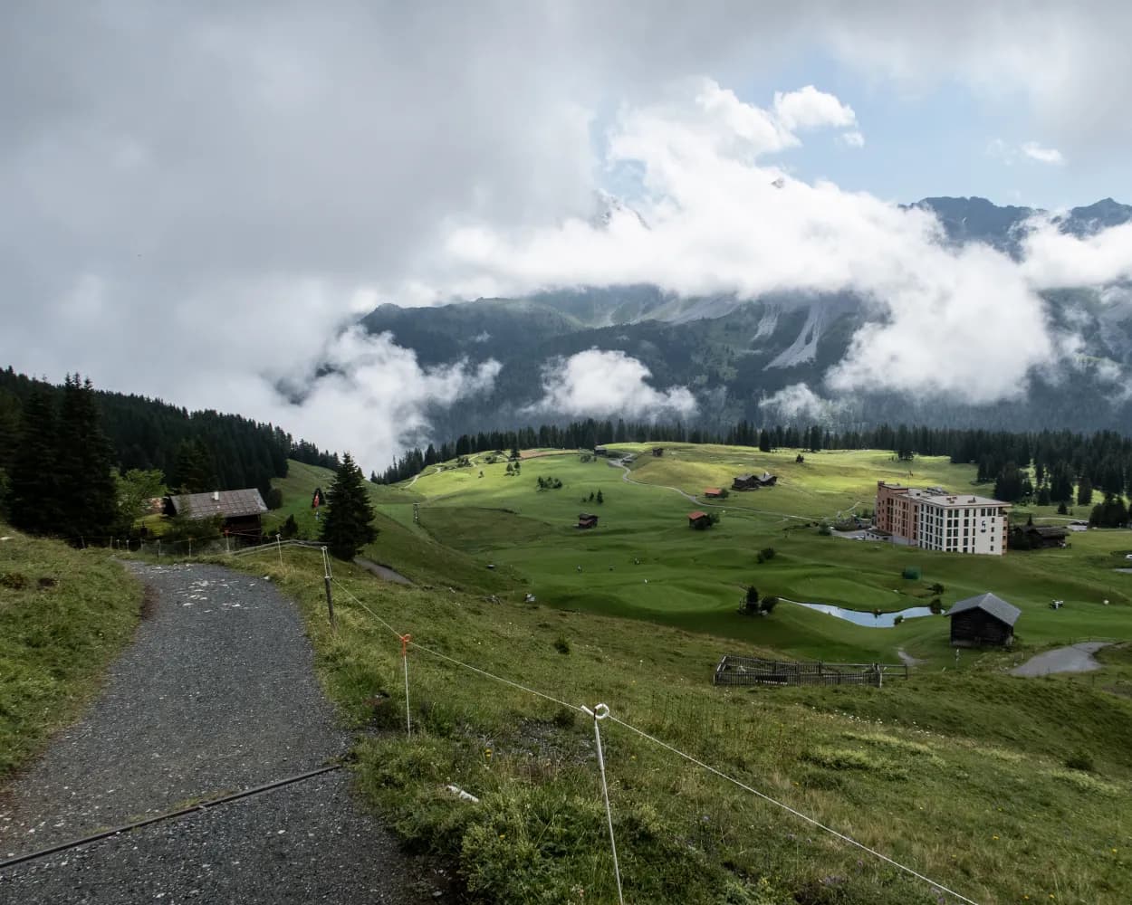
Discover a range of barrier-free destinations easily reachable from Arosa by public transport. From the charming Prätschli-Eichhörnliweg squirrel trail right in Arosa to scenic routes along rivers and lakes in surrounding areas, these accessible paths offer beautiful views and nature experiences for all abilities.
The following destinations are sorted by travel time from Arosa, making it easy to plan your next adventure. Check out the map to explore thousands of destinations and activities, reachable from any starting point in Switzerland.
Much more on ovunta.com/en/map
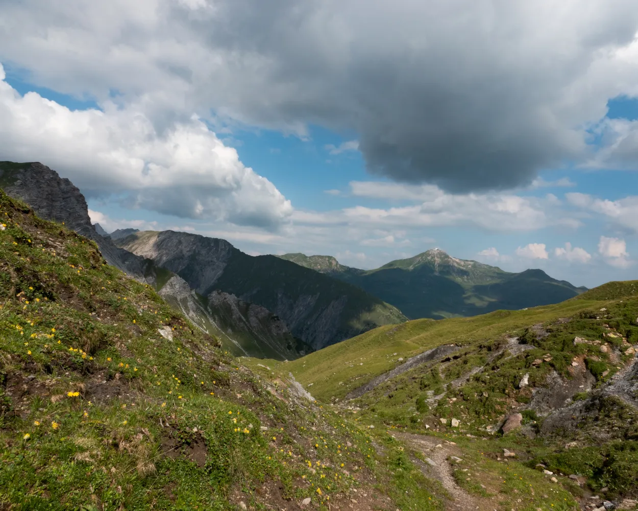
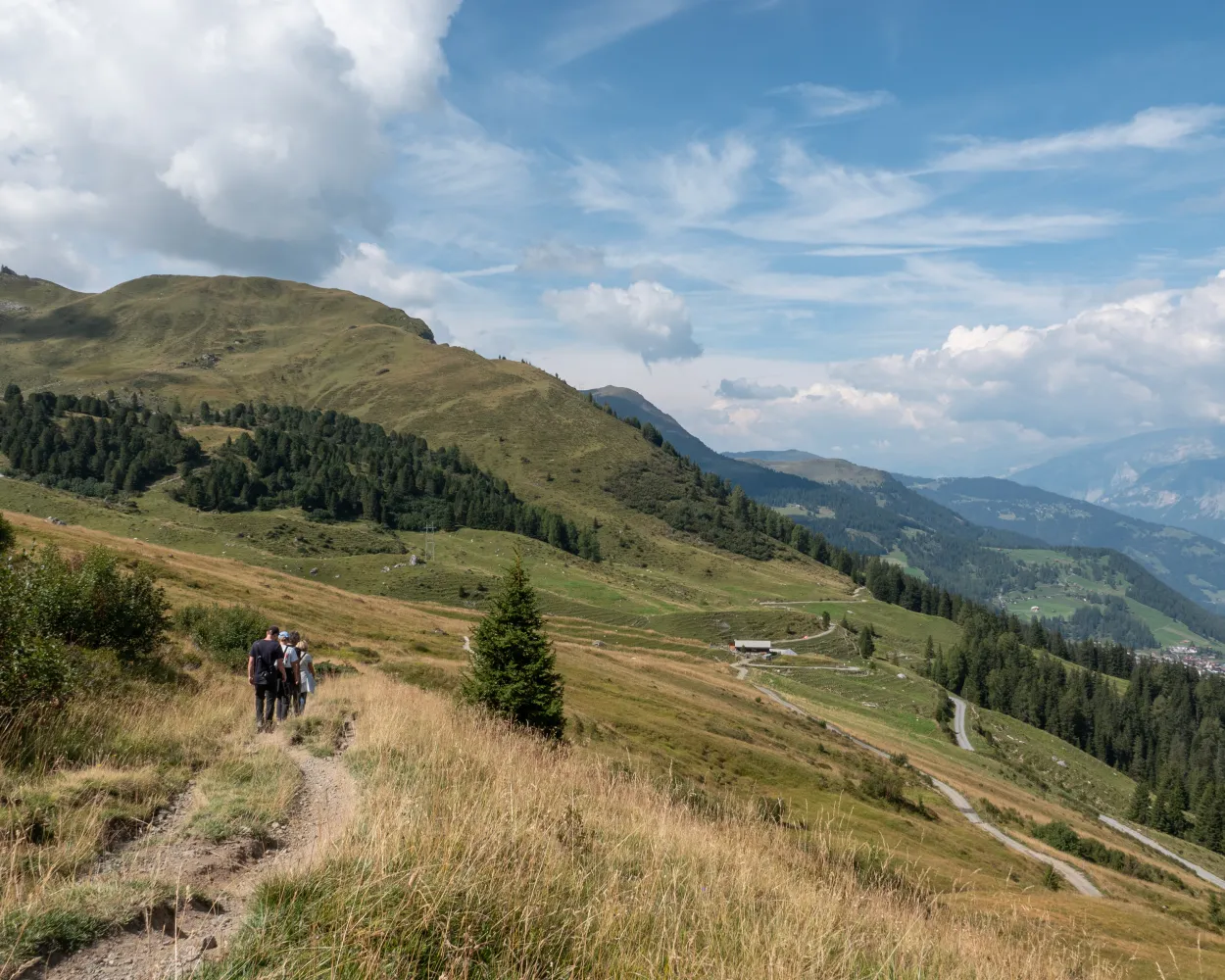
This demanding route climbs from Lenzerheide towards the Parpaner Rothorn mountain, where iron ore was once mined long ago. You will also walk through Parc Ela, known for its abundant insect life. The descent leads through a lunar landscape and Swiss stone pine forests and past an idyllic little lake. Arosa, with all its tourist amenities, will already be in sight below.
 21 km
21 km 1600 m
 1300 m
 8h 0m
8h 0mTour published by:
SwitzerlandMobility
Learn more on
schweizmobil.ch
| Arosa, Weisshornbahn/Skischule (08:41) | |
| 061 (2m) | |
| Arosa, Bellevue (08:43) |
This tour offers an interesting cross section from Lenzerheide through the Schanfigg to Davos. Geology takes priority on the first section, whilst the second follows the footsteps of the Walser settlers. And in the middle, the tourist resort of Arosa beckons.
41 km2600 m2500 m
Landscape: With panoramic views
Tour published by:
SwitzerlandMobility
Learn more on
schweizmobil.ch
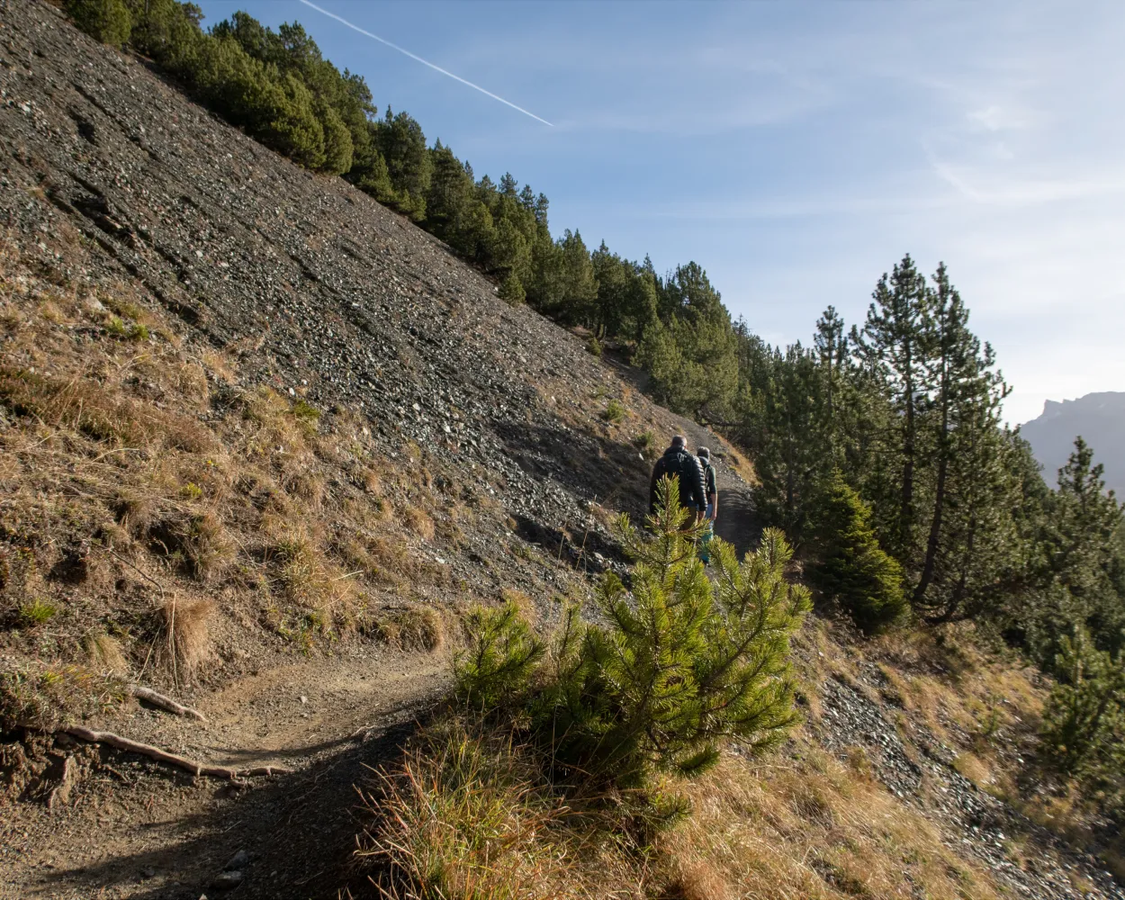
The Walserweg Graubünden follows the tracks of the Walsers in the high valleys of Graubunden in 19 one-day stages (total 300 km). The route leads along historic trails through breathtaking nature and intact cultivated landscapes. Hikers gain insights into the culture and history of the Walser folk.
320 km19600 m20200 mLandscape: With panoramic views,Over a pass,Onto an alp
Tour published by:
SwitzerlandMobility
Learn more on
schweizmobil.ch
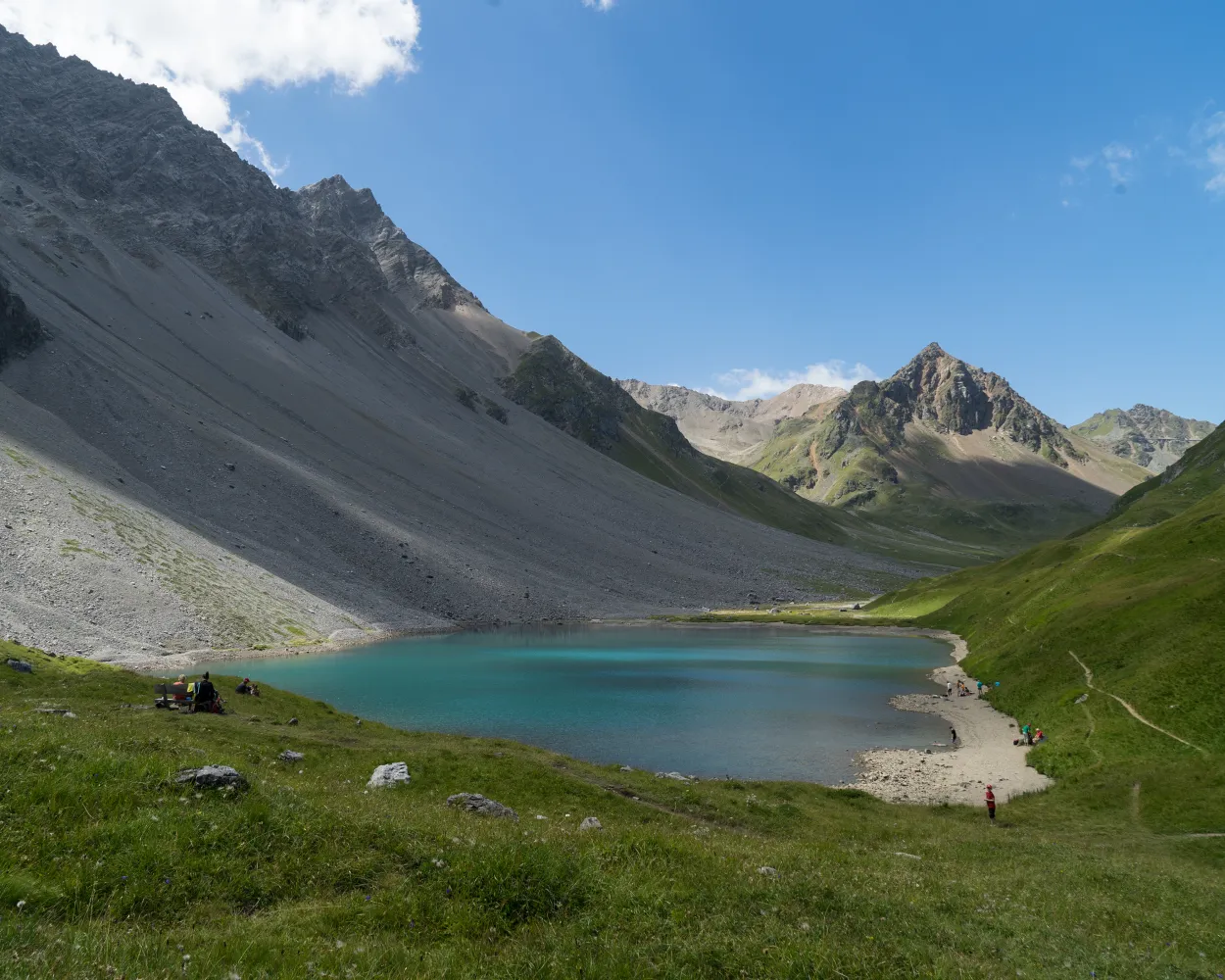
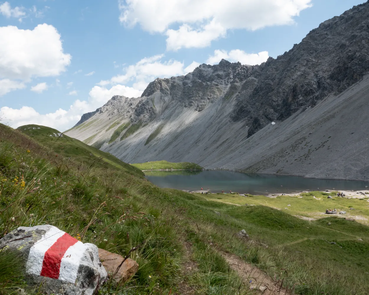
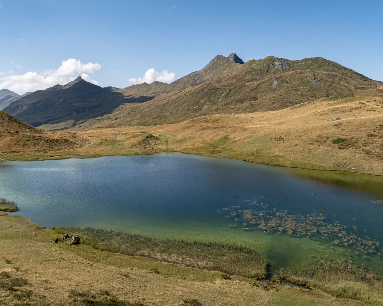
This round tour combines the terms «water» and «mountain» and offers countless beautiful views on Arosa and its surrounding. The trail passes the Altein waterfalls and the Altein lake before making a loop around the Schiesshorn mountain, including the possibility to climb to the peak.
14 km1000 m1000 m5h 15mLandscape: With panoramic views
Tour published by:
SwitzerlandMobility
Learn more on
schweizmobil.ch
This half-day trip will be heavily rewarded with a fantastic 360° mountain panorama view on the Weisshorn peak. Nonetheless, you should not underestimate the steep ascent and descent to and from the peak. During the summer season, various huts invite you to take a break along the way.
10 km700 m860 m3h 45mLandscape: Onto a mountain peak,With panoramic views
Tour published by:
SwitzerlandMobility
Learn more on
schweizmobil.ch
The hike leads north of Arosa through the forest and beyond the tree line over alpine meadows. It then descends more than 650 vertical metres into the valley. Imposing peaks, sweeping horse pastures and sun-baked wooden houses bring to life the times when the Walser people lived in this wild valley all year round.
15 km640 m1000 m4h 45mLandscape: With panoramic views
Tour published by:
SwitzerlandMobility
Learn more on
schweizmobil.ch
The first stop along this route is Alp Medergen, a former Walser Alp with a mountain tavern. After that, the path narrows to a mountain trail with the “Tritt” as a main landmark. At the end of this leg, you can enjoy views of Davos far below.
20 km1000 m1200 m6h 20mTour published by:
SwitzerlandMobility
Learn more on
schweizmobil.ch
| Arosa, Weisshornbahn/Skischule (08:38) | |
| 061 (4m) | |
| Arosa, Untersee (08:42) |
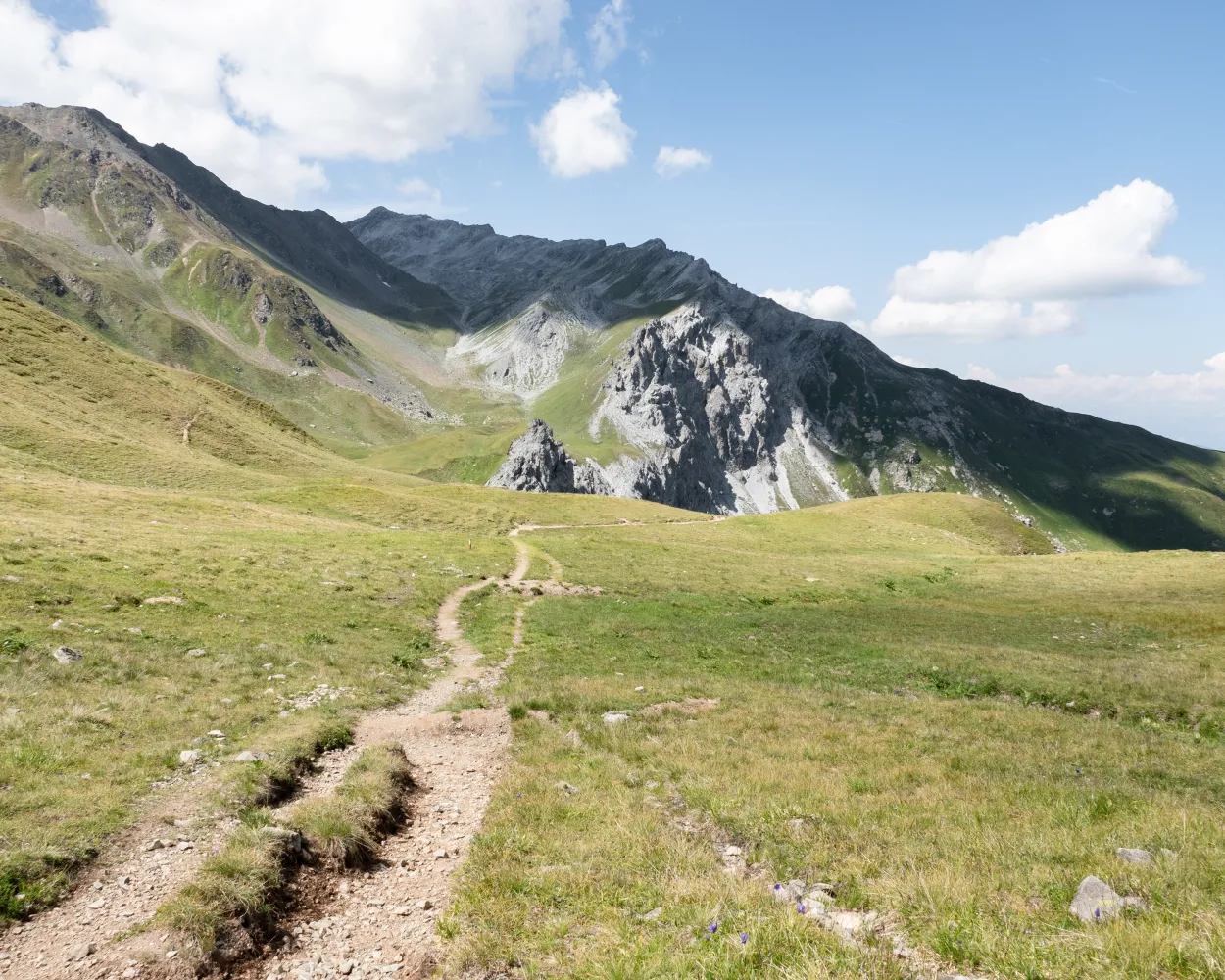
The big star of this hike is the diverse landscape around Arosa. From the highest point, the «Hauptichopf» peak, you can enjoy the splendid panorama of the Schanfigg and Rhine Valleys near Chur. Due to its convenient location, the trail is accessible from spring onwards and a popular early-season route.
15 km620 m620 m4h 20mLandscape: Onto an alp,With panoramic views
Tour published by:
SwitzerlandMobility
Learn more on
schweizmobil.ch
| Arosa (Talstation) Weisshorn (09:00) | |
| 2910 (8m) | |
| Arosa (Mittelstation)Weisshorn (09:08) |
The Schanfigger Höhenweg is a journey through time and a spectacle of nature at the same time. On old mule tracks, the mountain path leads from the holiday resort of Arosa to the Alpine city of Chur. Through the Schanfigg with its picturesque side valleys Sapün and Fondei, you walk across sunny plateaus, explore original Walser settlements and rugged canyons.
47 km2400 m3200 mTour published by:
SwitzerlandMobility
Learn more on
schweizmobil.ch
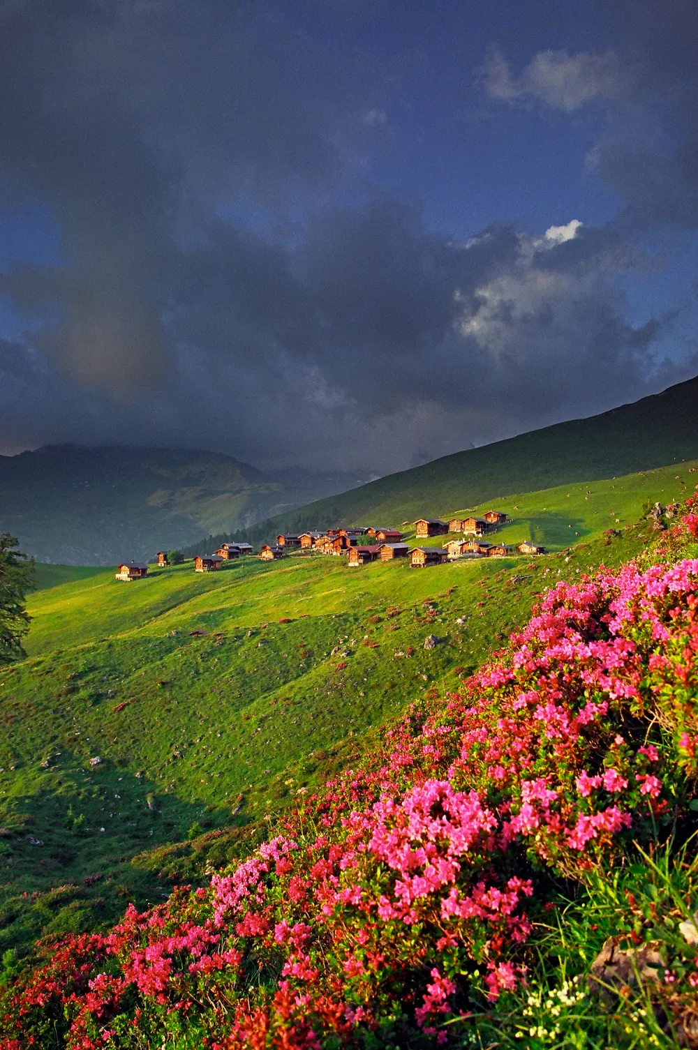
Once upon a time, Davos was a vast expanse of woodland. Then in around 1280 AD, twelve Walser farmsteads joined two Rhaeto-Romanic farmsteads, forming what is now the popular resort of Alpenstadt. The picturesque Stafelalp was the favoured retreat of the German painter Ernst Ludwig Kirchner. This route to Arosa keeps off the beaten track and boasts a magnificent mountain panorama.
16 km1200 m1000 m6h 0mLandscape: Onto an alp,Over a pass,With panoramic views
Tour published by:
SwitzerlandMobility
Learn more on
schweizmobil.ch


