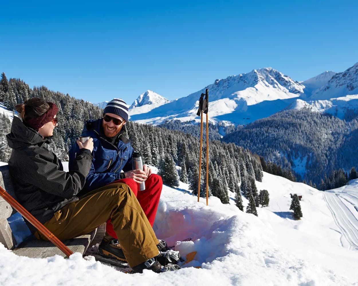
Discover a winter wonderland on these snowshoe hikes, all easily reachable from Arosa by public transport. Snow-covered forests, wide alpine plateaus, and scenic routes offer memorable experiences in the heart of the Alps.
To make planning easier, the hikes below are sorted by travel time from Arosa. Explore the map to find all snowshoe hikes and thousands of other outdoor activities accessible from anywhere in Switzerland.
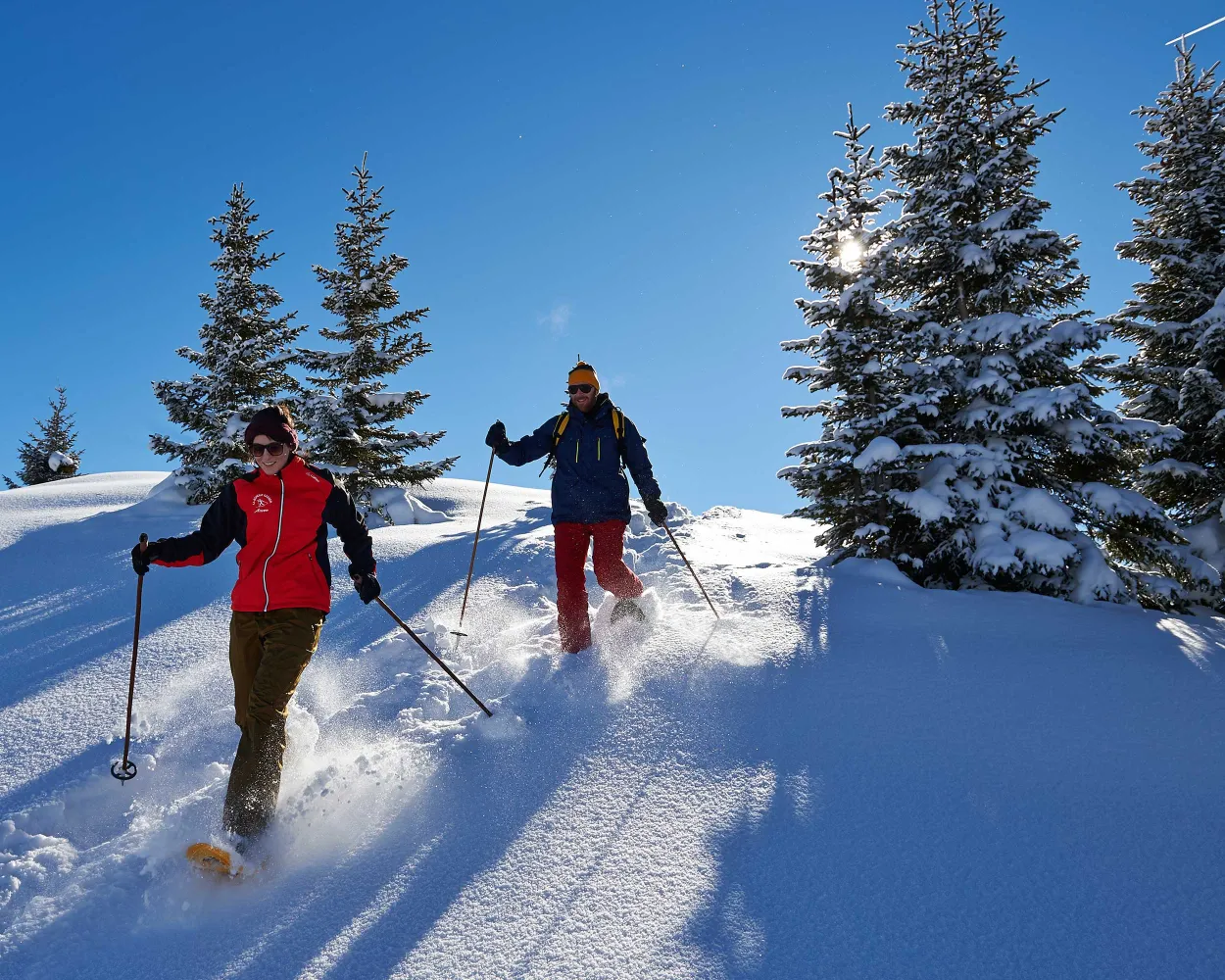
Easy – That’s how this snow shoe hike really is. The round tour leads in very simple terrain over the clearances of the Maraneralp. It suits anybody who likes to take it a bit more laid-back and still don’t want to relinquish on a great alpine panorama.
 2 km
2 km 90 m
90 m 90 m
90 m 1h 0m
1h 0m
Landscape: With panoramic views,Onto an alp
Tour published by:
SwitzerlandMobility
Learn more on
schweizmobil.ch
| 062 (4m) | |
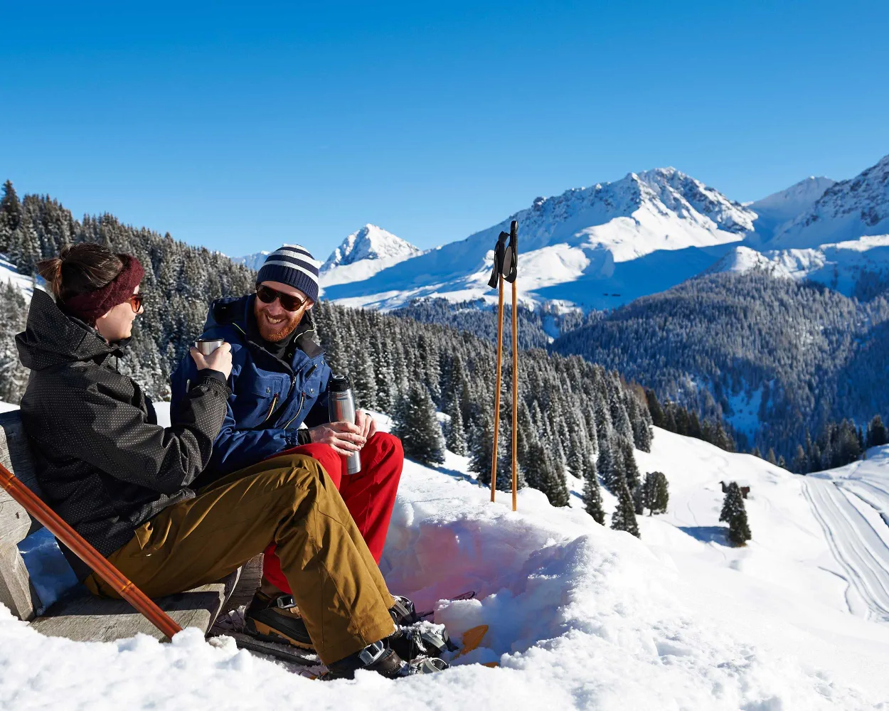
Through the forest, over dreamy clearances, up to the Alp, past Lake Upper Prätschsee: This interesting round tour offers breath-taking views over the valley of Schanfigg and the mountain landscape of Arosa time and time again.
4 km180 m180 m1h 45mTour published by:
SwitzerlandMobility
Learn more on
schweizmobil.ch
| 062 (7m) | |
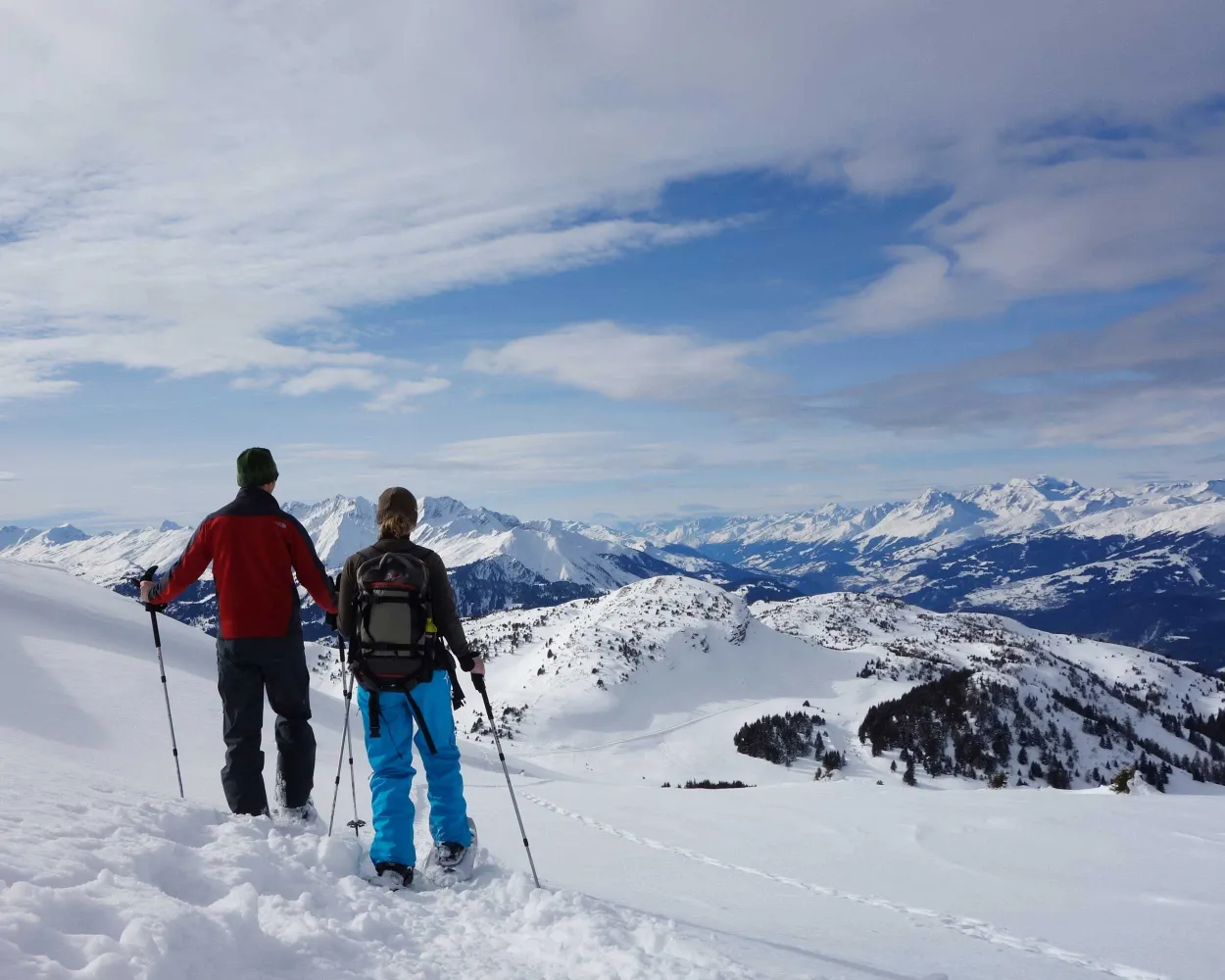
Tour with a panorama: the varied snowshoe hike on the Dreibündenstein plateau connects the winter sports regions of Brambrüesch and Feldis. Impressive: the well visible Glarus thrust, a UNESCO World Heritage site.
8 km760 m380 m4h 50mLandscape: With panoramic views,Onto a mountain peak
Tour published by:
SwitzerlandMobility
Learn more on
schweizmobil.ch
| R16 (54m) | |
| 11 (0m) | |
| 2880 (7m) | |
| 2880 (8m) | |
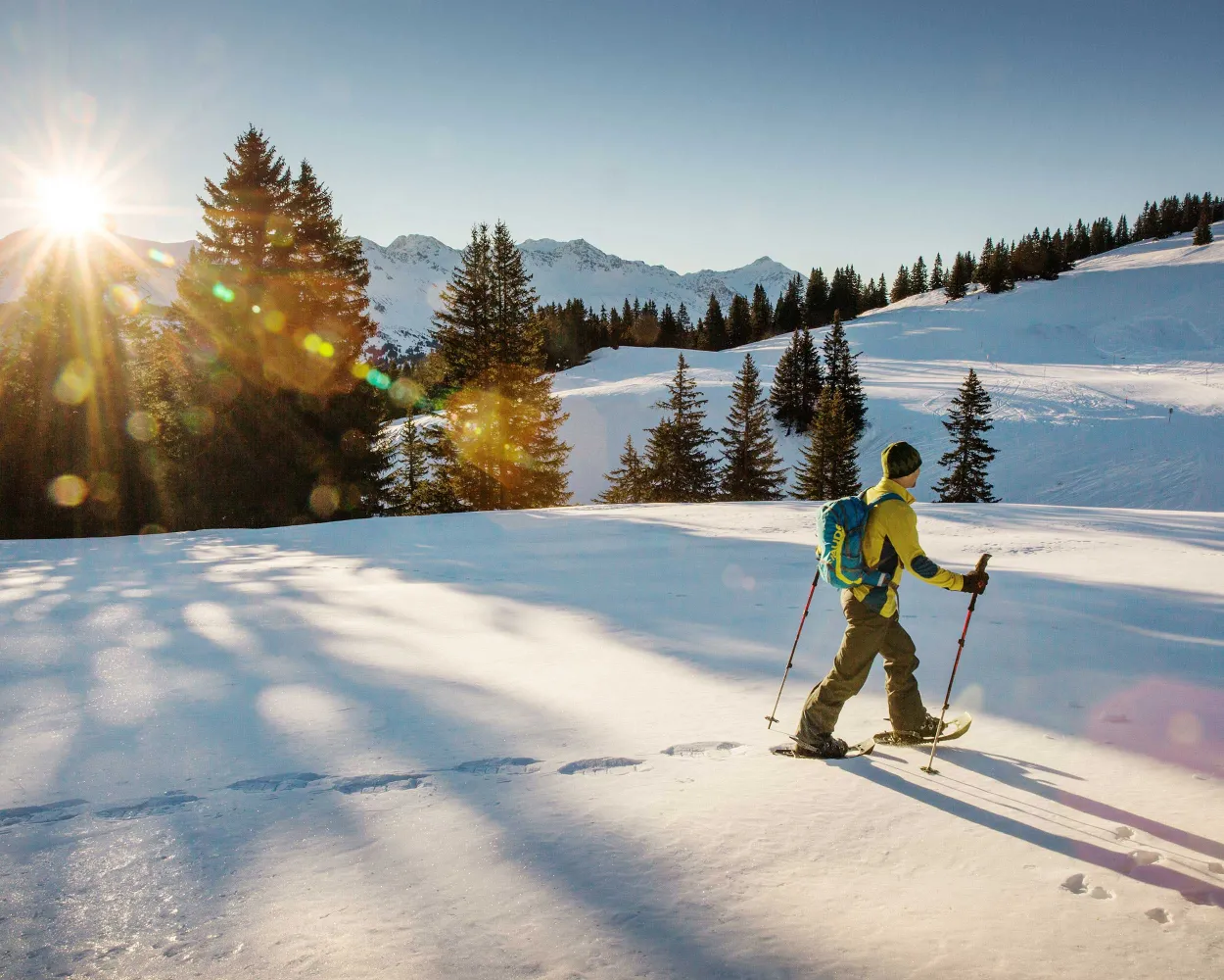
This tour over the Dreibündenstein connects the regions of Chur and Lenzerheide for snowshoe hikers. Great vistas and an optional downhill run experience make them a real insider tip.
8 km680 m540 m5h 0mTour published by:
SwitzerlandMobility
Learn more on
schweizmobil.ch
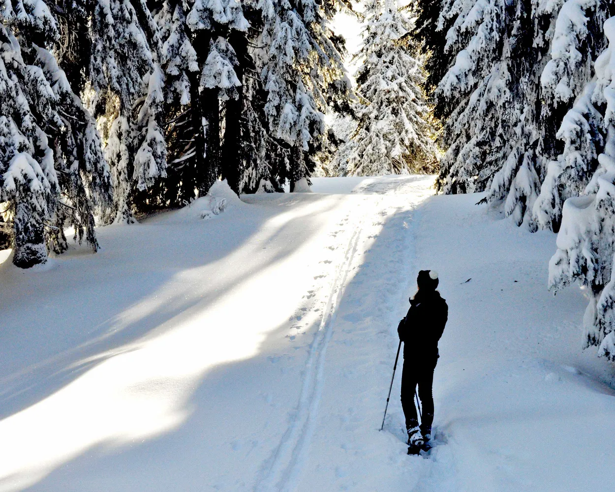
Muddy winter weather and snowfall? Not to worry! Since you are almost always in the woods on this easy tour over the Brambrüesch plateau, it can also be completed without problems even if the weather is less than perfect.
3 km160 m160 m1h 30mTour published by:
SwitzerlandMobility
Learn more on
schweizmobil.ch
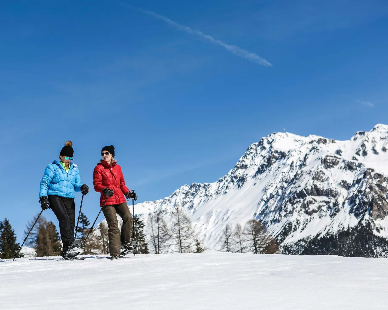
This easy round-trip in direction hamlet Sporz is suitable for snowshoers who have already gained some experience on the terrain.
5 km220 m220 m2h 20mLandscape: With panoramic views,Onto an alp
Tour published by:
SwitzerlandMobility
Learn more on
schweizmobil.ch
| R16 (1h 2m) | |
| 182 (34m) | |
| 191 (1m) | |
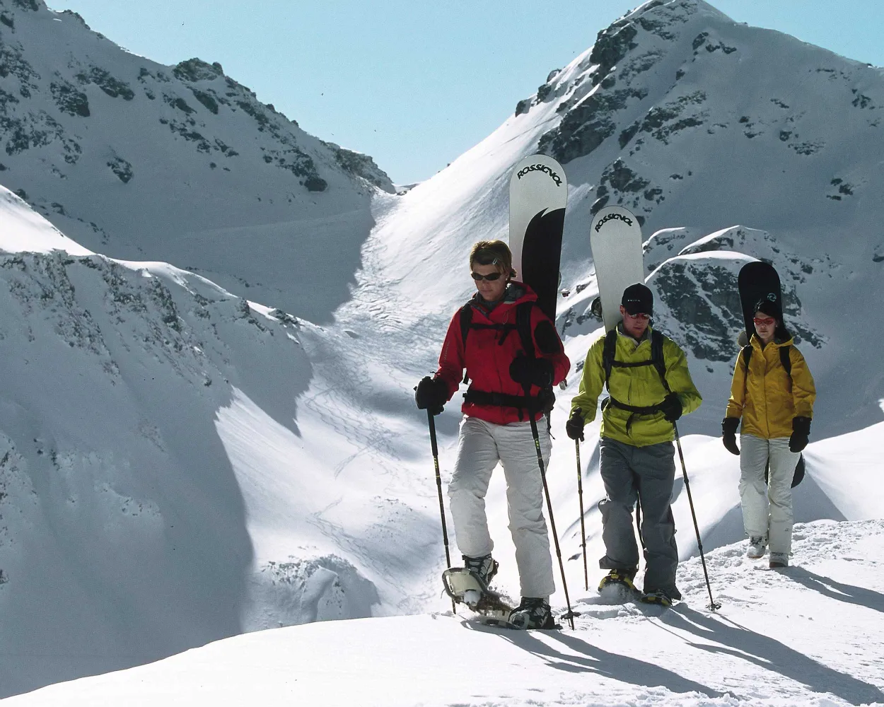
The snowshoe trail on Pizol leads above the timber line and offers spectacular views to the Alpine panorama and into the Tectonic Arena Sardona. Thanks to the altitude there is most likely a lot of snow.
4 km620 m10 m2h 45mTour published by:
SwitzerlandMobility
Learn more on
schweizmobil.ch
| R16 (1h 2m) | |
| S12 (14m) | |
| 457 (10m) | |
| GB (15m) | |
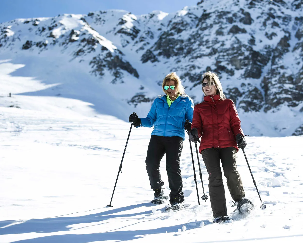
This snowshoeing tour shows impressively what violence avalanches can have: it leads to the Val Meltger hut, which was built twelve meters above the ground because of the snowmass. Lonely forest trails and a panorama to Mon and Stierva are further highlights of the trail.
6 km300 m300 m2h 40mTour published by:
SwitzerlandMobility
Learn more on
schweizmobil.ch
| RE6 (1h 2m) | |
| 182 (39m) | |
| 183 (4m) | |
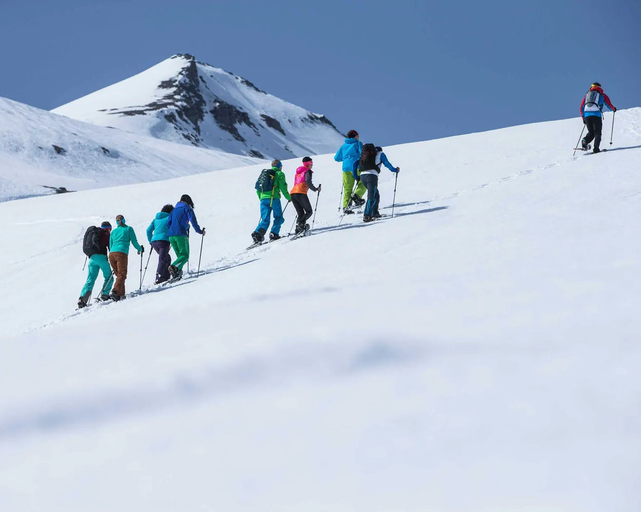
A snowshoe trail that turns the mountains upside down: the UNESCO tour clearly shows how older rock strata edged their way above younger rocks during the mountain formation.
6 km340 m340 m2h 50mTour published by:
SwitzerlandMobility
Learn more on
schweizmobil.ch
| R16 (1h 2m) | |
| 81 (27m) | |
| 2885 (27m) | |
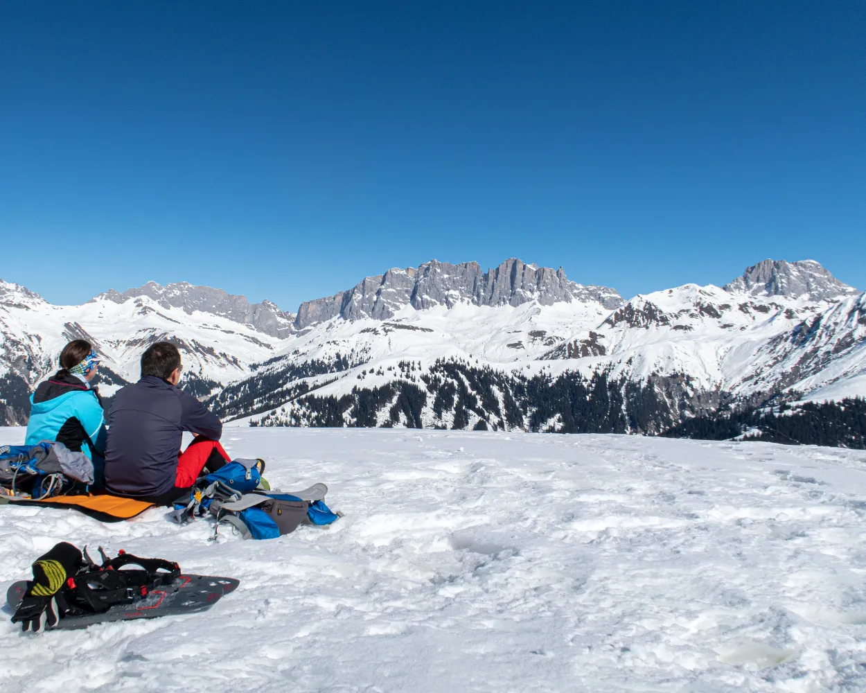
A varied snowshoe trail from Mount Stelserberg via Gafäll, with its astounding panorama of the Rätikon chain – known as the Graubünden Dolomites. The destination of this stage: the idyllic Walser village of St. Antönien.
9 km620 m680 m5h 0mLandscape: With panoramic views,Onto a mountain peak
Tour published by:
SwitzerlandMobility
Learn more on
schweizmobil.ch
| RE6 (1h 2m) | |
| S1 (34m) | |
| 212 (23m) | |
Much more on ovunta.com/en/map



