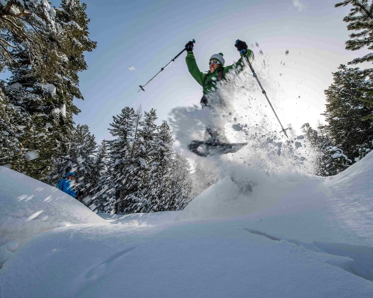
Discover a winter wonderland on these snowshoe hikes, all easily reachable from St. Moritz by public transport. Snow-covered forests, wide alpine plateaus, and scenic routes offer memorable experiences in the heart of the Alps.
To make planning easier, the hikes below are sorted by travel time from St. Moritz. Explore the map to find all snowshoe hikes and thousands of other outdoor activities accessible from anywhere in Switzerland.
Much more on ovunta.com/en/map
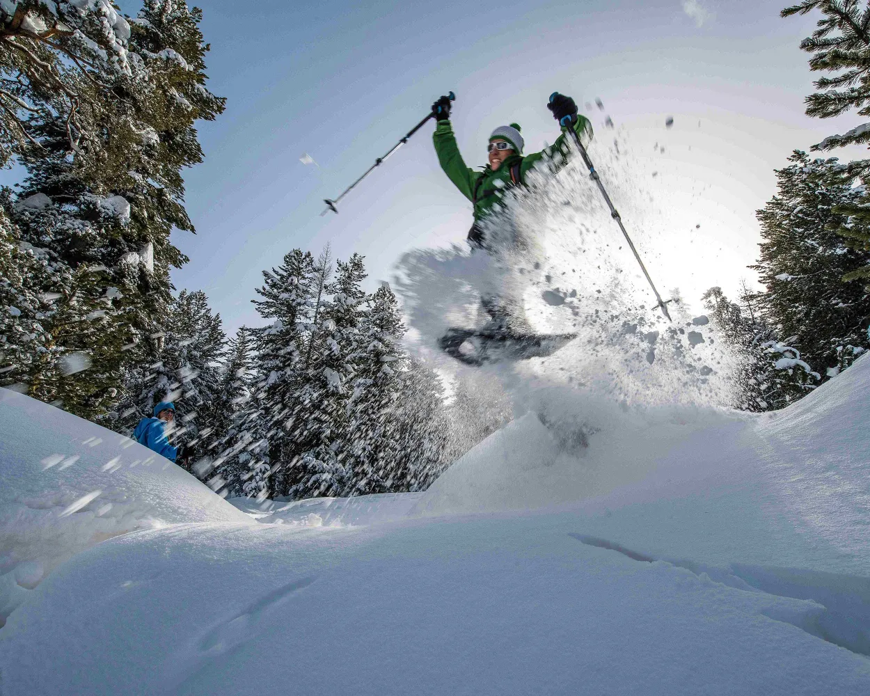
Between Pontresina and Celerina this signposted snowshoe trail takes you through the enchanting, snowy Forest of Staz and across moorland clearings covered in deep snow.
 4 km
4 km 110 m
110 m 70 m
70 m 1h 30m
Tour published by:
SwitzerlandMobility
Learn more on
schweizmobil.ch
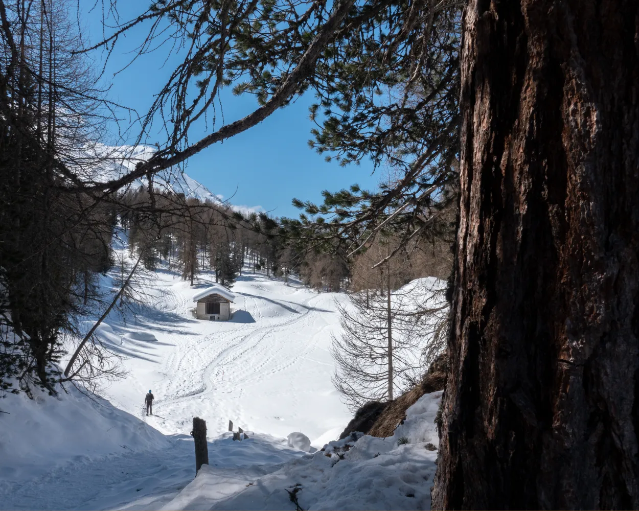
The ascend leads from Lake Sils through unspoilt mountain forest and across glades to an altitude of 2,036 metres. The views of Lake Sils, the majestic mountains, the largely untouched Val Fedoz, the Val Fex and the wintry Upper Engadine are captivating. Head back through mountain forest via the boathouse to Sils Maria.
6 km300 m300 m2h 50mTour published by:
SwitzerlandMobility
Learn more on
schweizmobil.ch
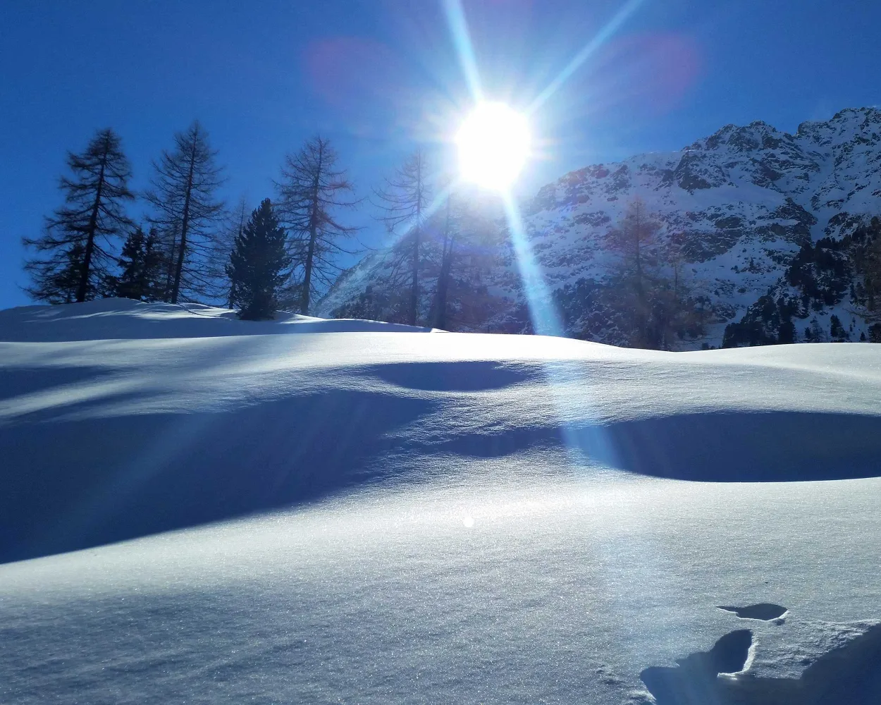
Snowshoe hike through the winter landscape around the small holiday resort of Preda along old muleteer paths, visit Switzerland’s most beautiful spot, the Lai da Palpuogna, and follow the trail through snowy pine forests.
5 km220 m220 m2h 5m
Landscape: With panoramic views,Along the water
Tour published by:
SwitzerlandMobility
Learn more on
schweizmobil.ch
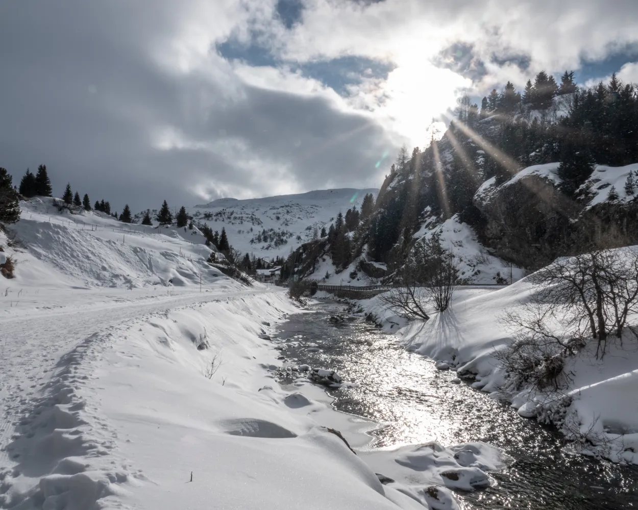
A peaceful snowshoe hike through the snow-covered pine forest up to Alp Natons where magnificent views of Lake Marmorera and the surrounding mountains open up. Take the same route back to Bivio.
6 km300 m300 m2h 45mTour published by:
SwitzerlandMobility
Learn more on
schweizmobil.ch
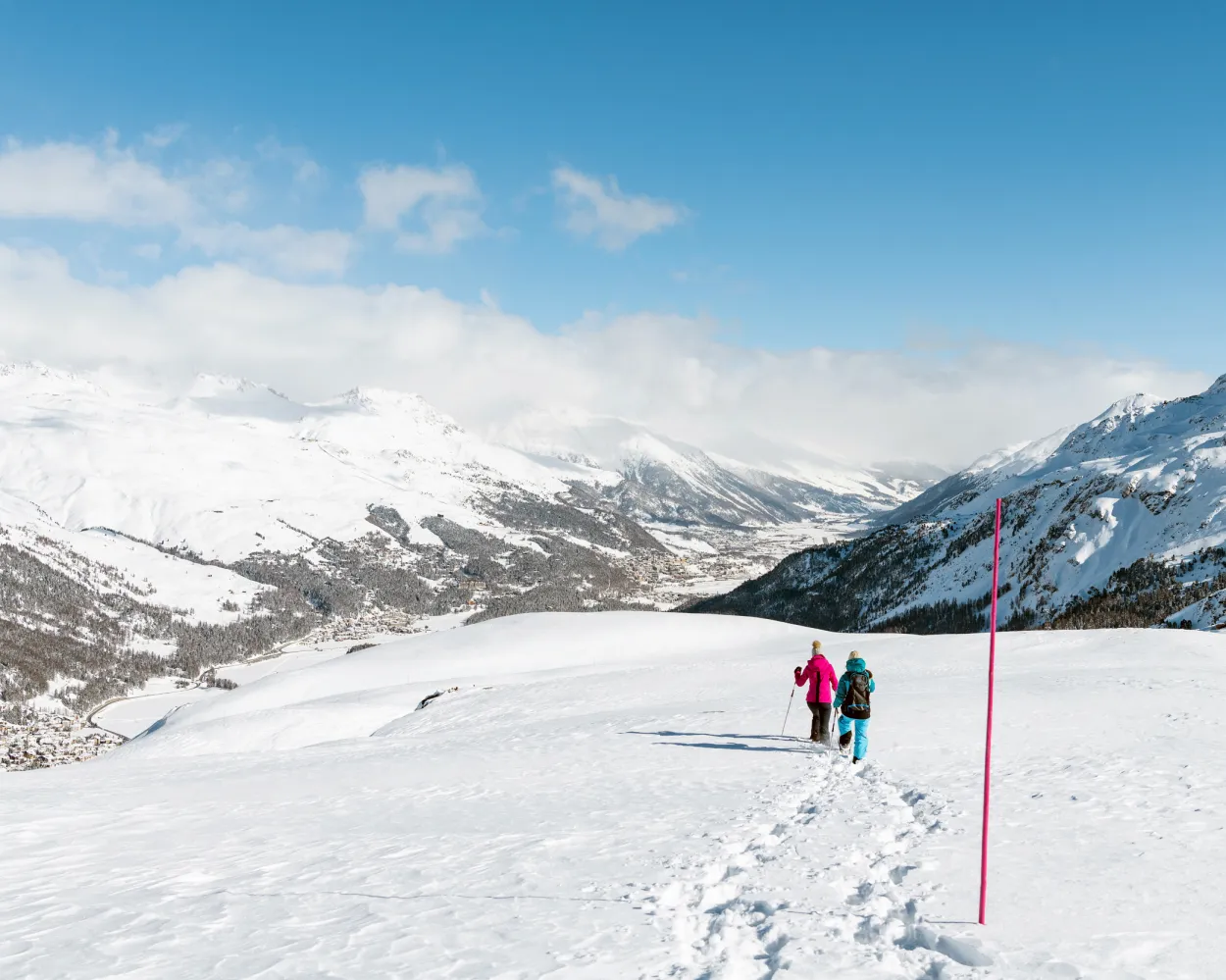
Tramping through the pristine mountains, high above the Engadin's chain of lakes: this can only be experienced on the Corvatsch. The views of the frozen lakes and the pinnacles of the Corvatsch massif make for an impressive sight. At around the half-way point, the Ustaria Rabgiusa restaurant offers the an opportunity for a refreshment.
3 km260 m260 m2h 0mTour published by:
SwitzerlandMobility
Learn more on
schweizmobil.ch
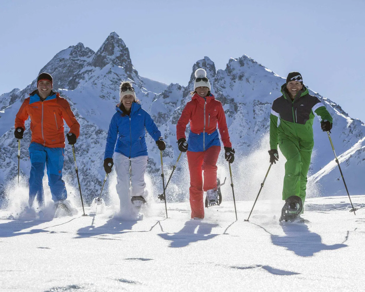
Wide open views towards the Bernina Massif and its four thousand metre peaks, plunging views down to the lake plateau below, and soaring flights of intellectual fancy along the Philosophers’ Trail all await snowshoe hikers on the popular Engadin panoramic mountain of Muottas Muragl.
3 km190 m190 m1h 35mLandscape: Onto a mountain peak,With panoramic views
Tour published by:
SwitzerlandMobility
Learn more on
schweizmobil.ch
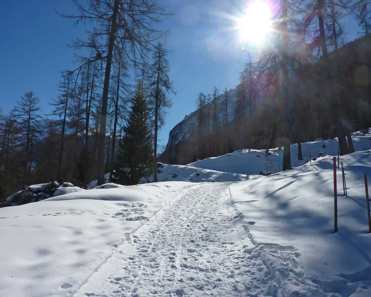
Snowshoe hike on the ski training slope at Bergün and on to the Bergünerstein, which once impeded travel from Filisur to Bergün. The route back goes by the edge of the forest with views of the railway village of Bergün, the Val Tuors and the Albula.
5 km280 m280 m2h 30mTour published by:
SwitzerlandMobility
Learn more on
schweizmobil.ch
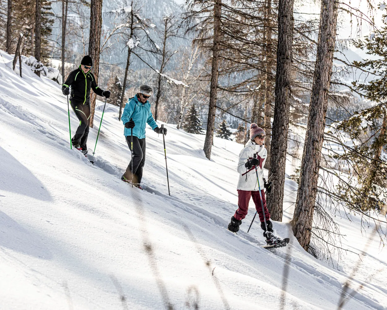
Snowshoe tour starting in Lavin, right on the Inn River. The trail climbs through the lovely forests of the Engadin, enters the side valley and crosses the Aua da Zeznina creek. Beautiful Alp Zeznina is your interim destination before you return to the valley.
8 km440 m440 m3h 50mLandscape: Onto an alp,With panoramic views
Tour published by:
SwitzerlandMobility
Learn more on
schweizmobil.ch
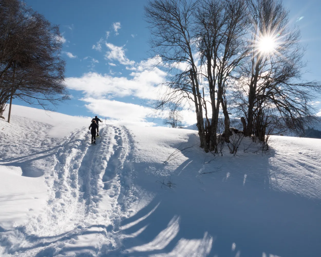
Hiking through snow-covered fields up to the Alpenrösli mountain restaurant and back to Klosters Platz. This beautiful snowshoe hike with gorgeous views is a treat both for the eyes and for the palate.
4 km320 m320 m2h 20mLandscape: With panoramic views,Onto an alp
Tour published by:
SwitzerlandMobility
Learn more on
schweizmobil.ch
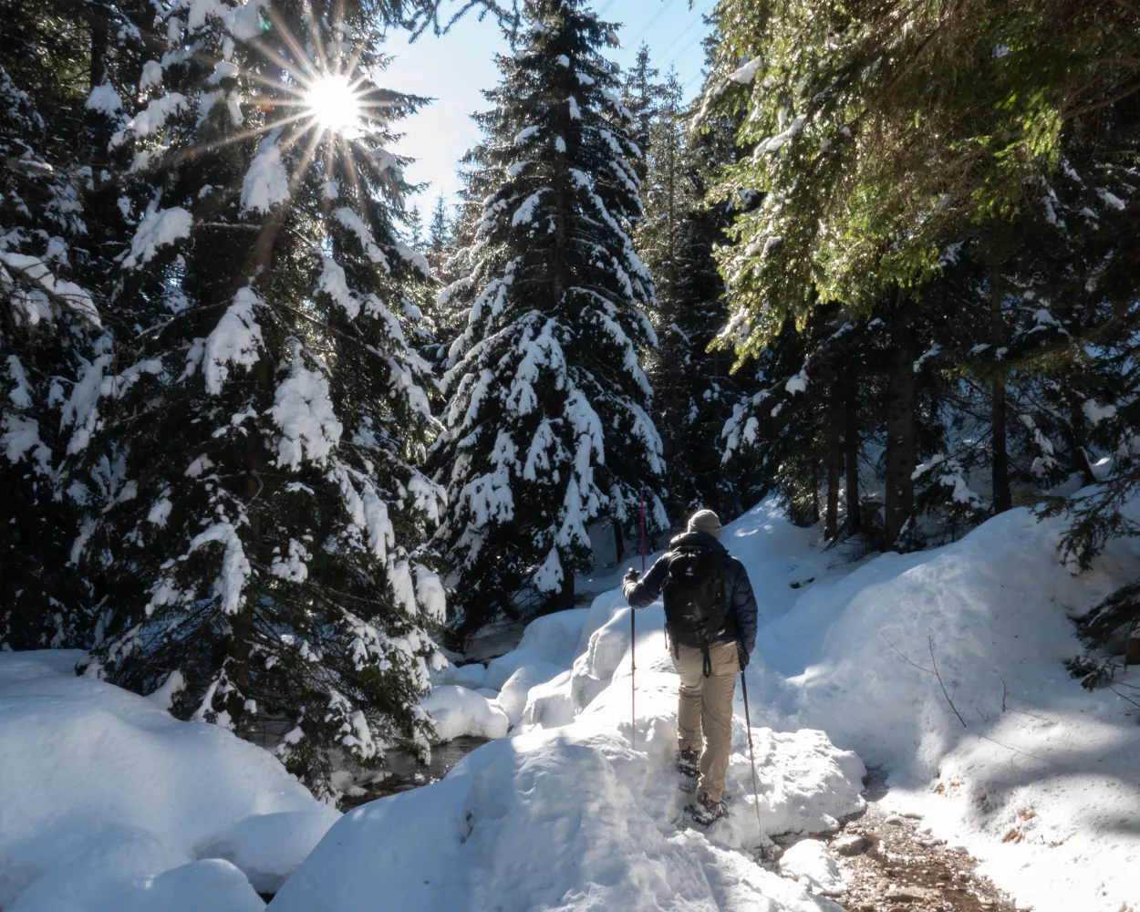
There is an easy snowshoe-hike through the virgin snow of the Cavaglia alpine plateau that is only accessible by rail in winter. Ideal for a family outing, it traces the paths trod by hardy railway pioneers and the builders of the first electrical utilities.
4 km100 m100 m1h 30mLandscape: Onto an alp,Through a Swiss Park,With panoramic views
Tour published by:
SwitzerlandMobility
Learn more on
schweizmobil.ch



