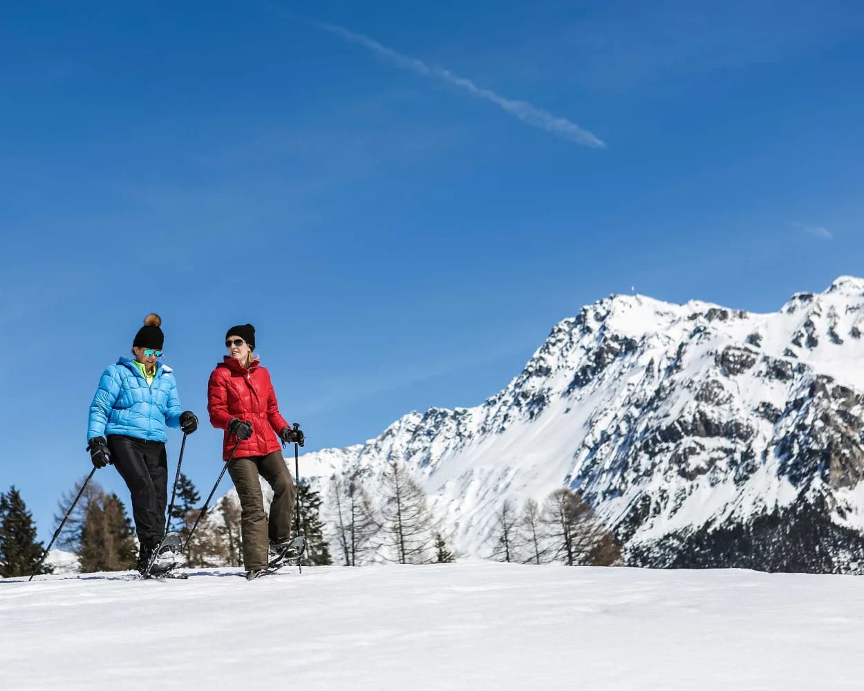
Discover a winter wonderland on these snowshoe hikes, all easily reachable from Lenzerheide by public transport. Snow-covered forests, wide alpine plateaus, and scenic routes offer memorable experiences in the heart of the Alps.
To make planning easier, the hikes below are sorted by travel time from Lenzerheide. Explore the map to find all snowshoe hikes and thousands of other outdoor activities accessible from anywhere in Switzerland.
Much more on ovunta.com/en/map
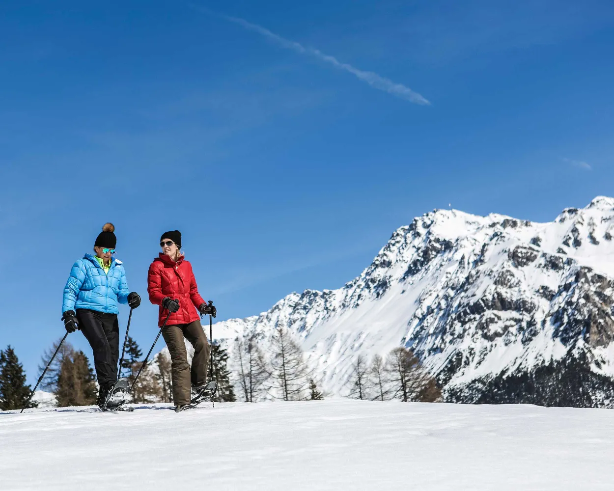
This easy round-trip in direction hamlet Sporz is suitable for snowshoers who have already gained some experience on the terrain.
 5 km
 220 m
 220 m
 2h 20m
 Landscape: Onto an alp, With panoramic views
Tour published by:
SwitzerlandMobility
Learn more on
schweizmobil.ch
and on
myswitzerland.com
| 184 (1m) | |
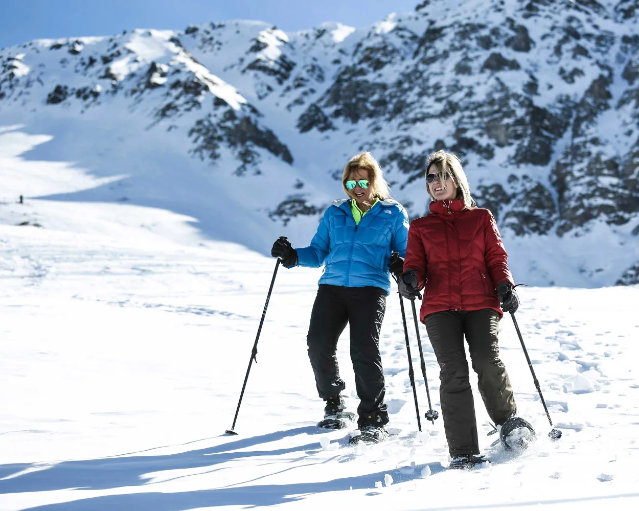
This snowshoeing tour shows impressively what violence avalanches can have: it leads to the Val Meltger hut, which was built twelve meters above the ground because of the snowmass. Lonely forest trails and a panorama to Mon and Stierva are further highlights of the trail.
6 km300 m300 m2h 40mTour published by:
SwitzerlandMobility
Learn more on
schweizmobil.ch
and on
myswitzerland.com
| 572 (4m) | |
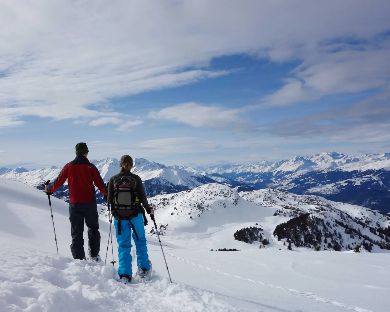
Tour with a panorama: the varied snowshoe hike on the Dreibündenstein plateau connects the winter sports regions of Brambrüesch and Feldis. Impressive: the well visible Glarus thrust, a UNESCO World Heritage site.
8 km760 m380 m4h 50mLandscape: Onto a mountain peak, With panoramic viewsTour published by:
SwitzerlandMobility
| 182 (35m) | |
| 11 (0m) | |
| 2880 (7m) | |
| 2880 (8m) | |
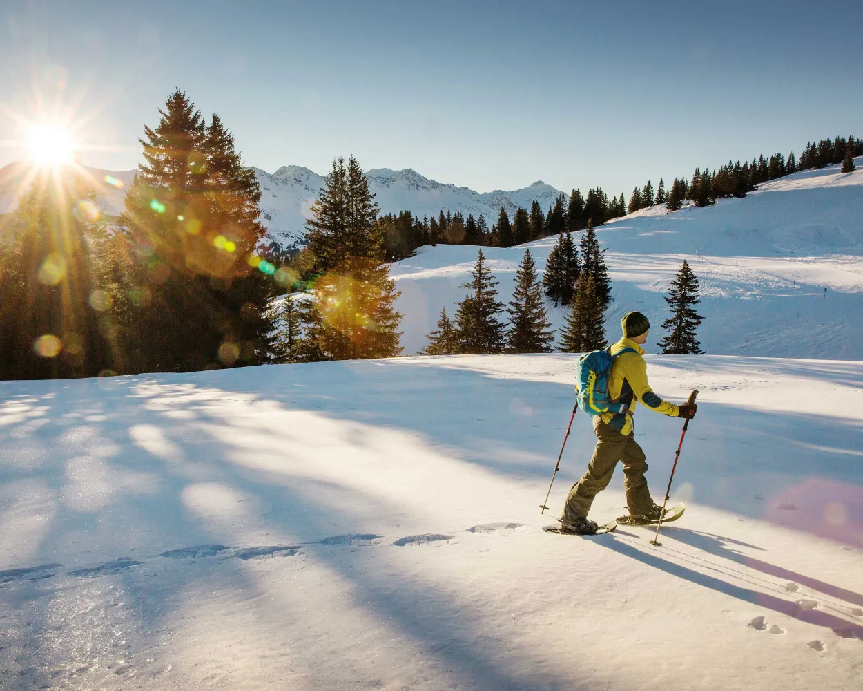
This tour over the Dreibündenstein connects the regions of Chur and Lenzerheide for snowshoe hikers. Great vistas and an optional downhill run experience make them a real insider tip.
8 km680 m540 m5h 0mTour published by:
SwitzerlandMobility
Learn more on
schweizmobil.ch
and on
myswitzerland.com
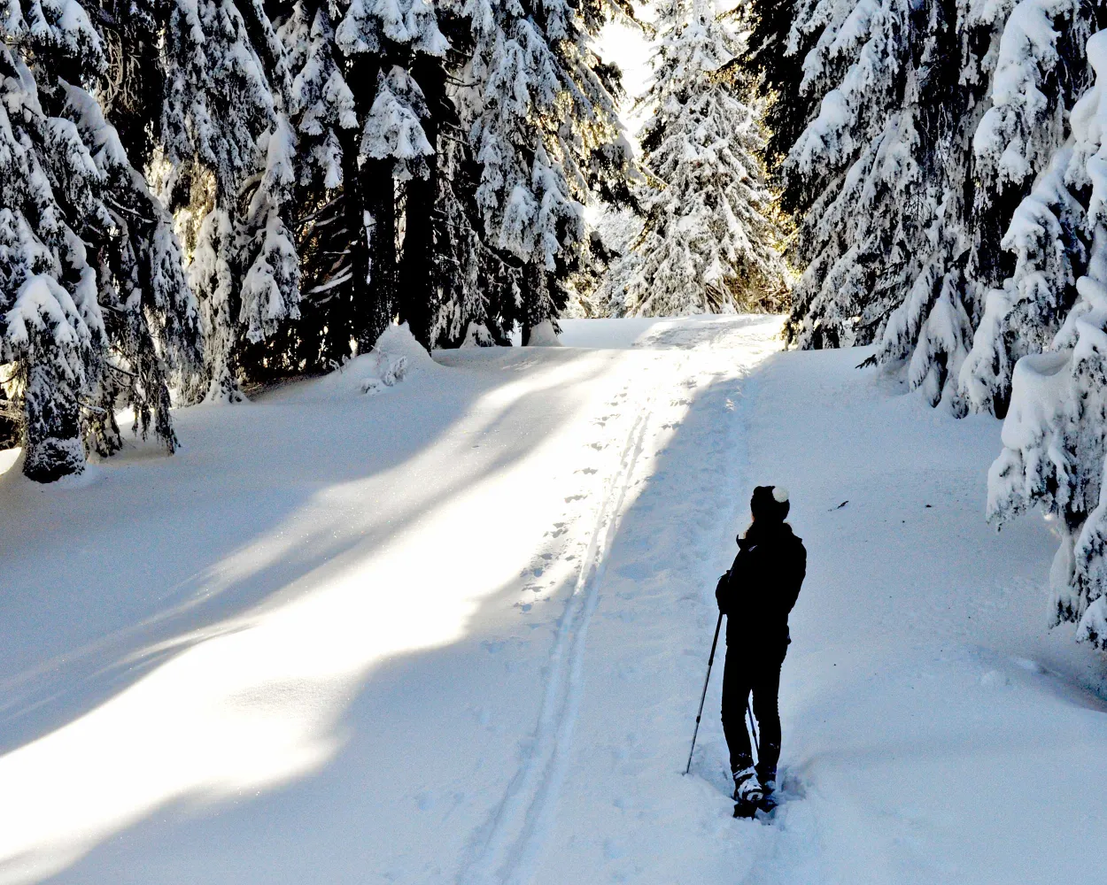
Muddy winter weather and snowfall? Not to worry! Since you are almost always in the woods on this easy tour over the Brambrüesch plateau, it can also be completed without problems even if the weather is less than perfect.
3 km160 m160 m1h 30mTour published by:
SwitzerlandMobility
Learn more on
schweizmobil.ch
and on
myswitzerland.com
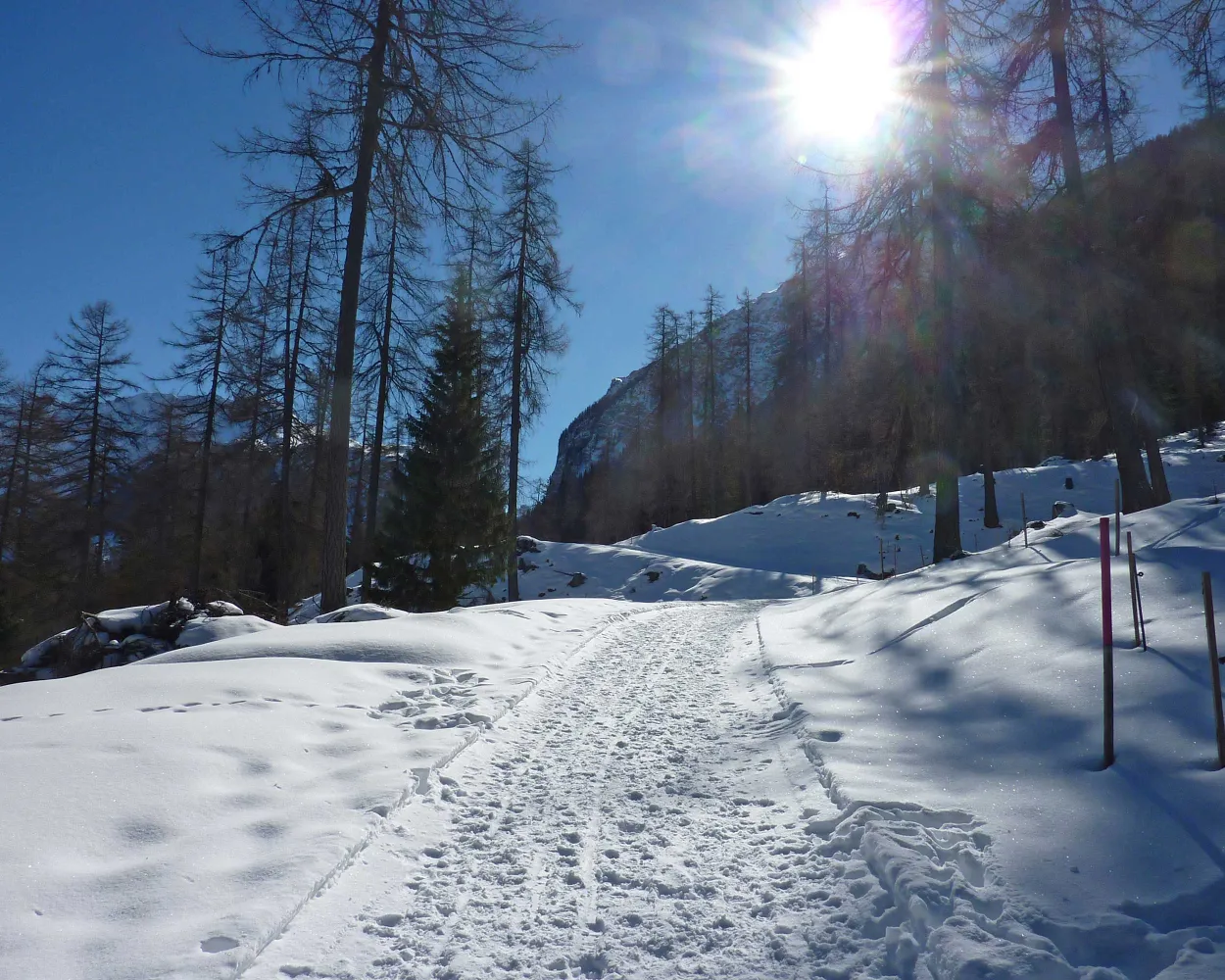
Snowshoe hike on the ski training slope at Bergün and on to the Bergünerstein, which once impeded travel from Filisur to Bergün. The route back goes by the edge of the forest with views of the railway village of Bergün, the Val Tuors and the Albula.
5 km280 m280 m2h 30mTour published by:
SwitzerlandMobility
Learn more on
schweizmobil.ch
and on
myswitzerland.com
| 182 (19m) | |
| IR38 (28m) | |
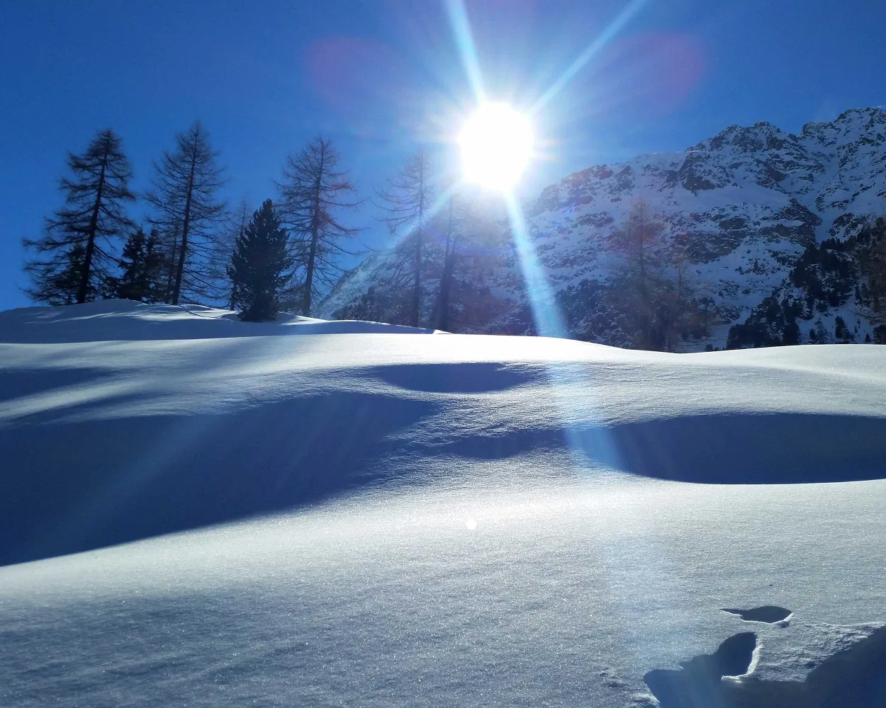
Snowshoe hike through the winter landscape around the small holiday resort of Preda along old muleteer paths, visit Switzerland’s most beautiful spot, the Lai da Palpuogna, and follow the trail through snowy pine forests.
5 km220 m220 m2h 5mLandscape: Along the water, With panoramic viewsTour published by:
SwitzerlandMobility
| 182 (19m) | |
| IR38 (46m) | |
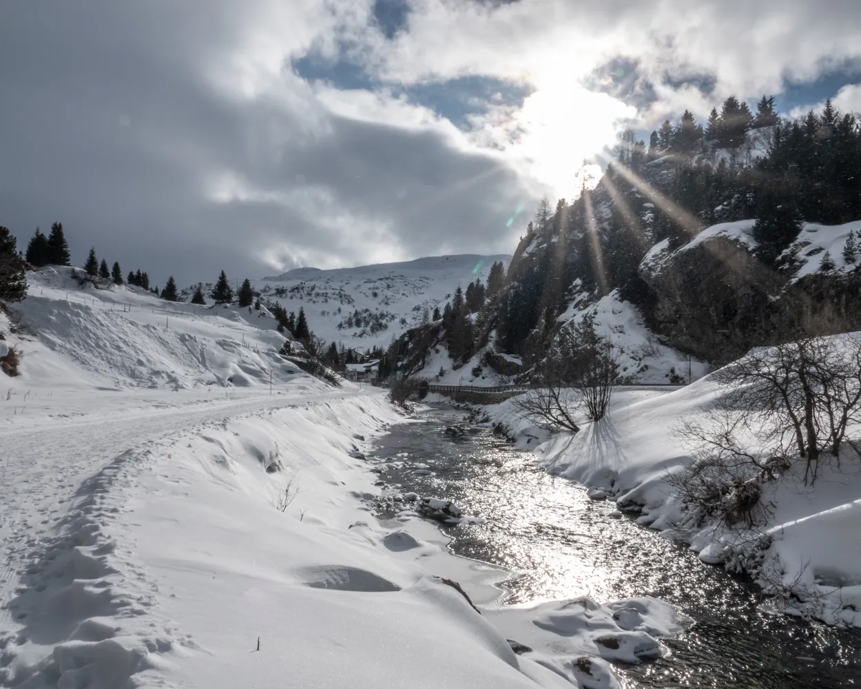
A peaceful snowshoe hike through the snow-covered pine forest up to Alp Natons where magnificent views of Lake Marmorera and the surrounding mountains open up. Take the same route back to Bivio.
6 km300 m300 m2h 45mTour published by:
SwitzerlandMobility
Learn more on
schweizmobil.ch
and on
myswitzerland.com
| 572 (19m) | |
| 577 (47m) | |
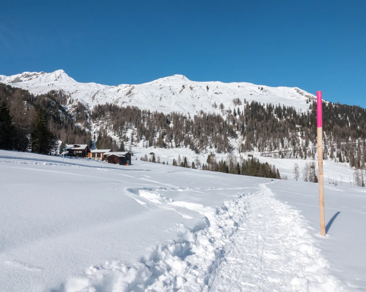
Hiking through the deep snow and revelling in the winter sun. The trail starts on Wolfgang Pass and leads through picturesque Arelenwald. Surrounded by pine trees you enjoy fantastic views across the valley. Return via Ober Laret to the top of the pass where the tour ends.
4 km160 m160 m1h 35mLandscape: Onto an alp, Over a pass, With panoramic viewsTour published by:
SwitzerlandMobility
| 183 (49m) | |
| 301 (30m) | |
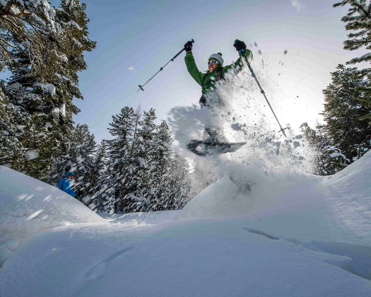
Between Pontresina and Celerina this signposted snowshoe trail takes you through the enchanting, snowy Forest of Staz and across moorland clearings covered in deep snow.
4 km110 m70 m1h 30mTour published by:
SwitzerlandMobility
Learn more on
schweizmobil.ch
and on
myswitzerland.com
| 182 (19m) | |
| IR38 (1h 1m) | |
| R15 (3m) | |
Learn more on
schweizmobil.ch
and on
myswitzerland.com
Learn more on
schweizmobil.ch
and on
myswitzerland.com
Learn more on
schweizmobil.ch
and on
myswitzerland.com


