
Relaxed or more challenging: these winter hikes are all reachable from Lenzerheide by public transport. From easy panoramic walks to longer alpine routes, there’s something for every level of winter hiker.
The destinations below are sorted by travel time from Lenzerheide to make planning easier. Be sure to check the map to explore all winter hikes and thousands of other outdoor activities reachable from any starting point in Switzerland.
Much more on ovunta.com/en/map

A lot of sunshine and even more panoramic views: On the mountain path, the winter hikers enjoy a wonderful view of the surrounding mountain peaks and the frozen lake Heidsee.
 10 km
 220 m
 460 m
 3h 10m
 Landscape: Along the water, With panoramic views
Tour published by:
SwitzerlandMobility

This cozy round trip takes you to the most beautiful corners of Lantsch/Lenz: from the Biathlon Arena to the Lenzer forest and the ski lift. Marvellous views into Oberhalbstein and onto Heinzenberg await you in Rofna.
5 km190 m190 m1h 50mTour published by:
SwitzerlandMobility
Learn more on
schweizmobil.ch
and on
myswitzerland.com
| 572 (4m) | |

This cozy hike leads to the old mountain hut settlement in Mittelberg and offers a beautiful natural experience. Along the way, you can visit the Alpine Cheese Dairy and before the destination, a visit to the Schlössli Parpan (small castle) is recommended.
7 km190 m190 m2h 20mTour published by:
SwitzerlandMobility
Learn more on
schweizmobil.ch
and on
myswitzerland.com
| 572 (7m) | |

This circular hike on the sunny pastures of the former mountain pass and trading village of Filisur passes scenic Schönboden and takes you via forests to the ruins of Greifenstein Castle from which the Graubünden nobility once dominated the region.
6 km240 m240 m2h 5mTour published by:
SwitzerlandMobility
Learn more on
schweizmobil.ch
and on
myswitzerland.com
| 182 (19m) | |
| IR38 (15m) | |

Pleasant winter hike through snowy forests to a viewing point with a dizzying view of the famous Landwasser Viaduct and down below to the Landwasser River. Take the same route back with firm ground underfoot.
2 km90 m90 m50mLandscape: Through a Swiss Park, With panoramic viewsTour published by:
SwitzerlandMobility

Discover the landscape of Davos and the original hamlets of Frauenkirch and Glaris ond this easy winter hiking trail, walking past tipical houses of the Walser.
5 km130 m190 m1h 30mTour published by:
SwitzerlandMobility
Learn more on
schweizmobil.ch
and on
myswitzerland.com
| 183 (49m) | |
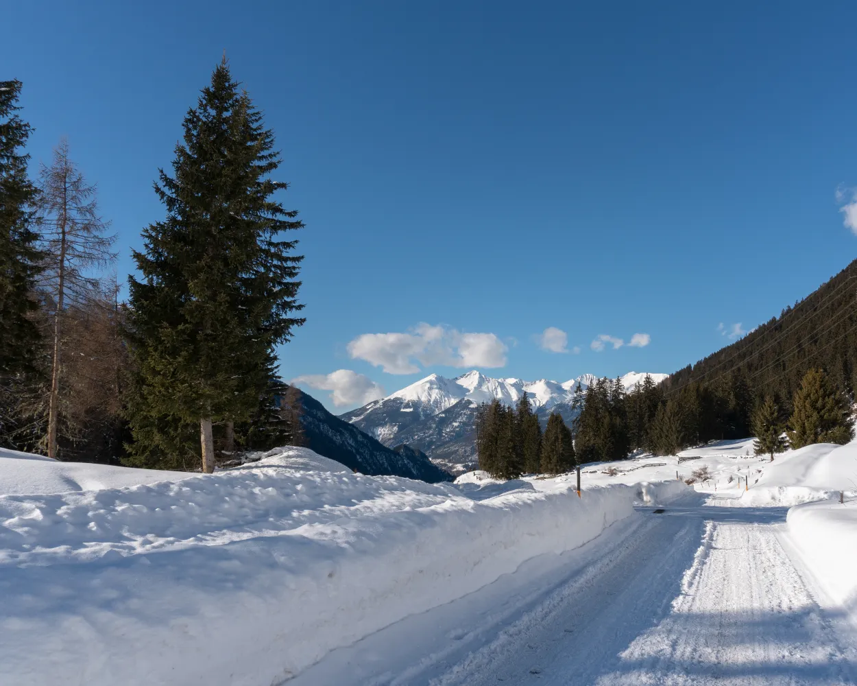
A winter hiking route on the sunny hillside at Bergün. Take a gentle walk through snow-covered forests to the hamlet of Latsch, where the Heidi films were shot, and enjoy the views into the Albula Valley and of the striking Bergünerstöcke peaks.
6 km240 m240 m2h 5mLandscape: With panoramic viewsTour published by:
SwitzerlandMobility
| 182 (19m) | |
| IR38 (28m) | |

The burbling Turnigla brook, the Flem gorge, snow-covered fields, the mystical forest around Bot la Cresta hill – and, of course, charming Cresta Lake keep the winter hikers fascinated along their way.
5 km120 m120 m1h 30mLandscape: Along the water, Through a Swiss Park, With panoramic viewsTour published by:
SwitzerlandMobility
| 182 (35m) | |
| 81 (23m) | |

The classic for the whole family: on the way up to the Edelweisshütte, a view all the way to the Dreibündenstein is in store for adults while Brambi the squirrel is there for children on Chur’s home mountain, the Brambrüesch.
5 km180 m180 m1h 40mLandscape: With panoramic viewsTour published by:
SwitzerlandMobility
| 182 (35m) | |
| 11 (0m) | |
| 2880 (7m) | |
| 2880 (8m) | |

The Tschappinerrunde – a winter hike on the Heinzenberg in Beverin Nature Park, offering a stunning mountainscape. Undulating gently, this hike leads to the Patrutgsee with wonderful views into the distant Albulatal.
8 km360 m360 m3h 0mTour published by:
SwitzerlandMobility
Learn more on
schweizmobil.ch
and on
myswitzerland.com
| 572 (19m) | |
| IR38 (16m) | |
| 531 (23m) | |
Learn more on
schweizmobil.ch
and on
myswitzerland.com
Learn more on
schweizmobil.ch
and on
myswitzerland.com
Learn more on
schweizmobil.ch
and on
myswitzerland.com
Learn more on
schweizmobil.ch
and on
myswitzerland.com
Learn more on
schweizmobil.ch
and on
myswitzerland.com


