Logo
Blog
To the map
Blog header image

Winter Hikes from Zermatt by public transport

Relaxed or more challenging: these winter hikes are all reachable from Zermatt by public transport. From easy panoramic walks to longer alpine routes, there’s something for every level of winter hiker.

The destinations below are sorted by travel time from Zermatt to make planning easier. Be sure to check the map to explore all winter hikes and thousands of other outdoor activities reachable from any starting point in Switzerland.

Much more on ovunta.com/en/map
Discover other activities close to Zermatt

  • Snowshoeing from Zermatt by public transport
  • Sledging runs from Zermatt by public transport
  • Unforgettable Hikes Around Zermatt
  • Ride the Rails, Hit the Slopes: Transit-Reachable Ski Areas Near Zermatt
  • Cross-country skiing resorts from Zermatt by public transport

Start from elsewhere?

  • Winter Hikes from Evolène by public transport
  • Winter Hikes from Leukerbad by public transport
  • Winter Hikes from Sion by public transport
1/10

Zermatt-Sunnegga-Weg

You are already there! Start directly from Zermatt.

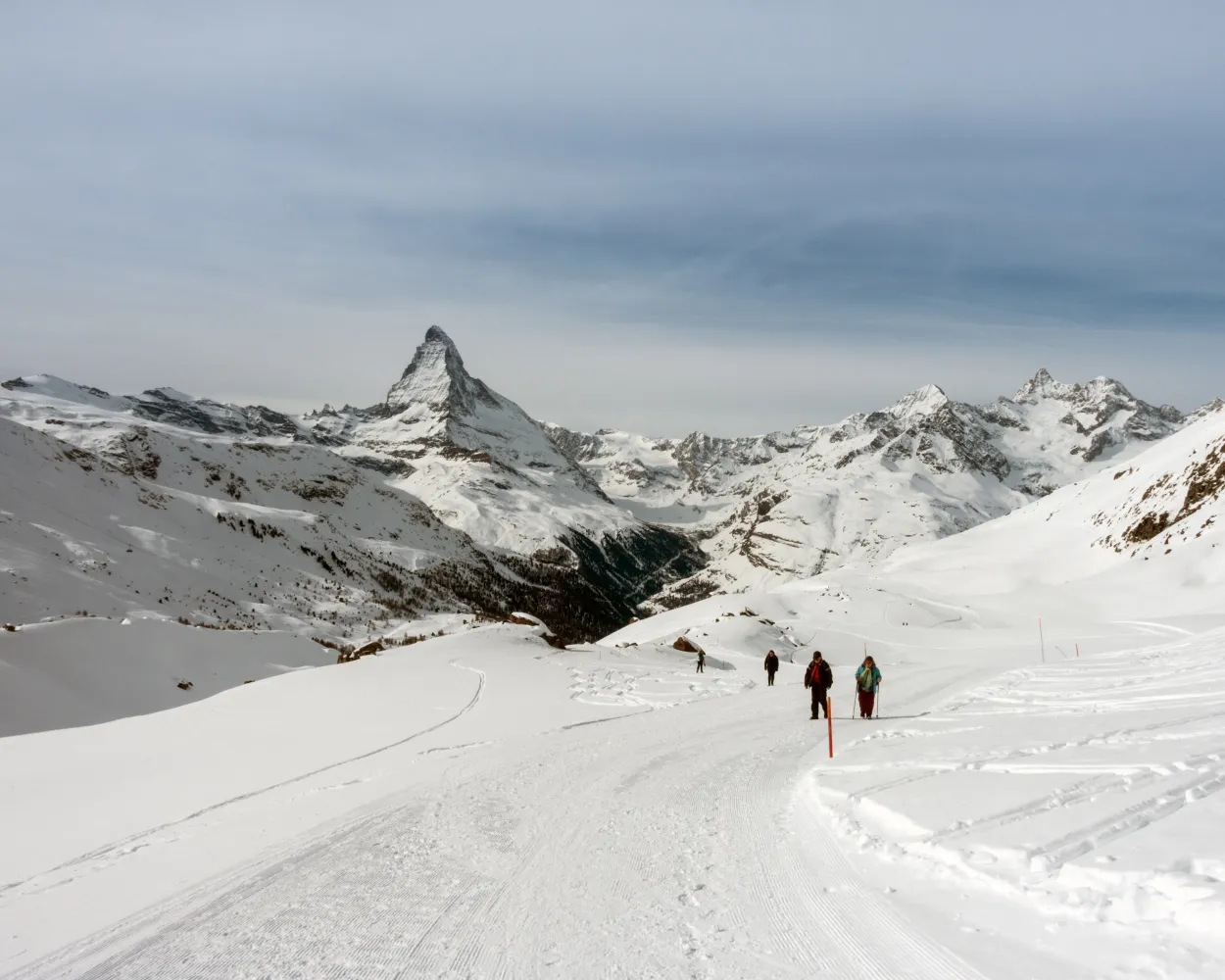
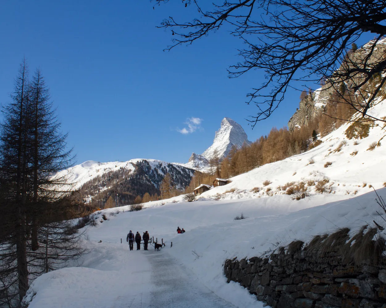
Head out from the centre of Zermatt on your own steam, make it past the tree line and up into the sunlight – that's the idea behind the trail up to Sunnegga. Once you've climbed to the top, you’ll be rewarded with a glorious view of the Matterhorn.

dist7 km
|
asce660 m
|
desc30 m
|
dura3h 15m

    Tour published by:

    SwitzerlandMobility

    Learn more on
    schweizmobil.ch


    How to get to Zermatt-Sunnegga-Weg

    Start directly from Zermatt
    2/10

    Rundweg Zermatt

    You are already there! Start directly from Zermatt.

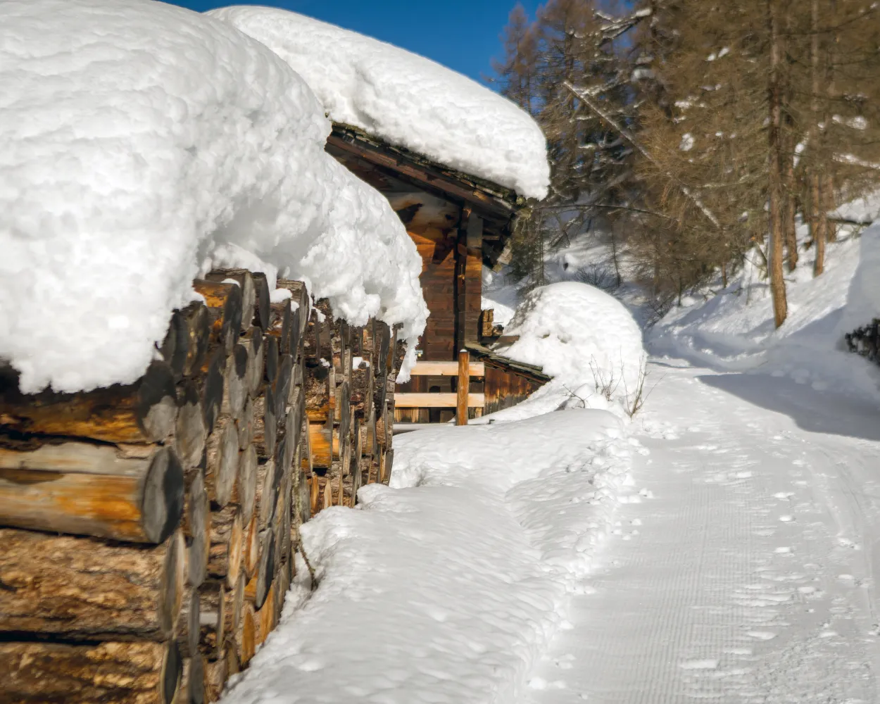
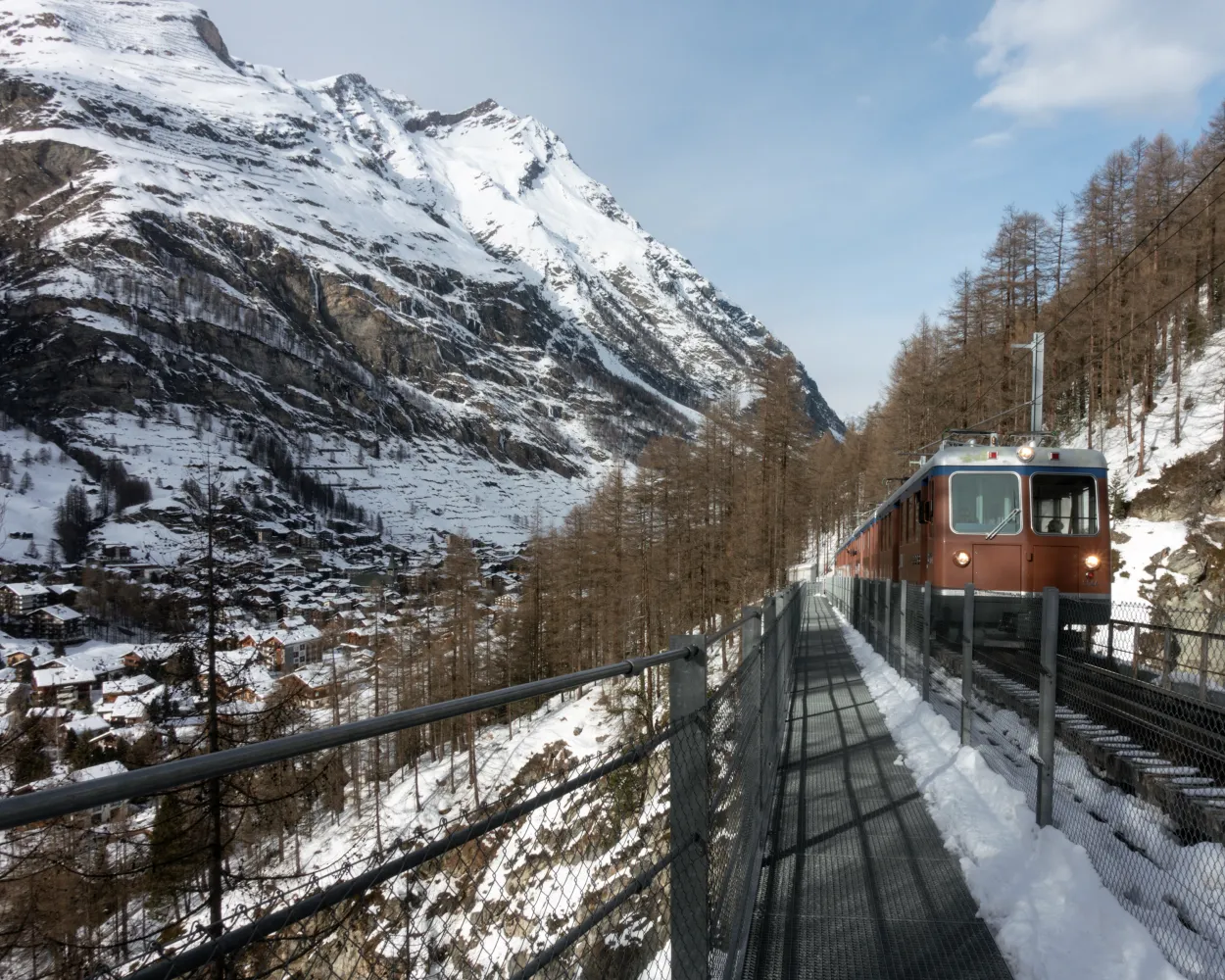
    A chapel, beautiful bridges and a magical winter forest – this is what the Zermatt circular trail has to offer. Crossing the spectacular Findelbach bridge is among this circular trail's highlights. Spanning the Findelbach river, it has a length of 93 metres and a height of 50 metres.

    dist7 km
    |
    asce280 m
    |
    desc280 m
    |
    dura2h 25m
    • land

      Landscape: With panoramic views,Through a Swiss Park

    Tour published by:

    SwitzerlandMobility

    Learn more on
    schweizmobil.ch

    How to get to Rundweg Zermatt

    Start directly from Zermatt
    3/10

    Riffelalp-Winkelmatten-Weg

    Minimum travel time: 20m to Riffelalp

    A hike that combines charm and unspoilt nature from Riffelalp to Winkelmatten chapel in Zermatt, via a rural forest path.

    dist5 km
    |
    asce30 m
    |
    desc560 m
    |
    dura1h 40m

      Tour published by:

      SwitzerlandMobility

      Learn more on
      schweizmobil.ch

      How to get to Riffelalp-Winkelmatten-Weg

      Fastest connection from Zermatt to Riffelalp: 20m
      Walk from to
      48 (15m)
      Search Connections & Buy Tickets on SBB
      4/10

      Blauherd-Fluhalp-Weg

      Minimum travel time: 23m to Blauherd

      The winter hike from Blauherd to Fluhalp follows a path whose theme is: «How animals survive in winter». The route is also the perfect opportunity for the whole family to soak up the sun.

      dist4 km
      |
      asce180 m
      |
      desc180 m
      |
      dura1h 35m

        Tour published by:

        SwitzerlandMobility

        Learn more on
        schweizmobil.ch


        How to get to Blauherd-Fluhalp-Weg

        Fastest connection from Zermatt to Blauherd: 23m
        Walk from to
        2290 (5m)
        Walk from to
        2290 (7m)
        Search Connections & Buy Tickets on SBB
        5/10

        Rotenboden-Riffelberg-Weg

        Minimum travel time: 28m to Riffelberg

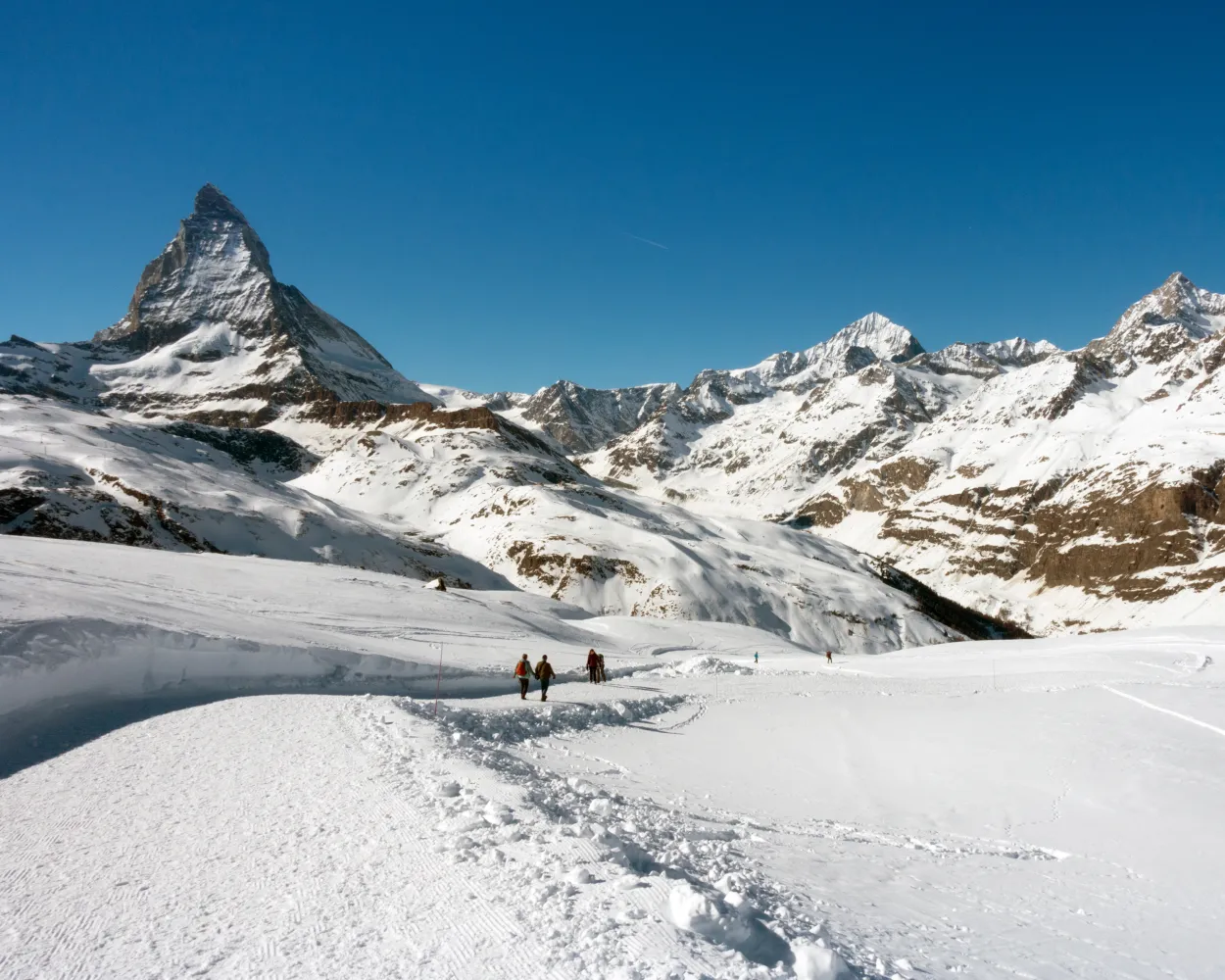
        A typical winter panoramic view of the Zermatt region, guaranteed. This winter hiking trail starts in Rotenboden, runs along the Riffelhorn mountain and leads to a spectacular view of the sun-kissed Gornergrat mountain.

        dist2 km
        |
        asce20 m
        |
        desc260 m
        |
        dura50m

          Tour published by:

          SwitzerlandMobility

          Learn more on
          schweizmobil.ch


          How to get to Rotenboden-Riffelberg-Weg

          Fastest connection from Zermatt to Riffelberg: 28m
          Walk from to
          48 (23m)
          Search Connections & Buy Tickets on SBB
          6/10

          Bärgji-Weg

          Minimum travel time: 1h 2m to Grächen, Schmidji

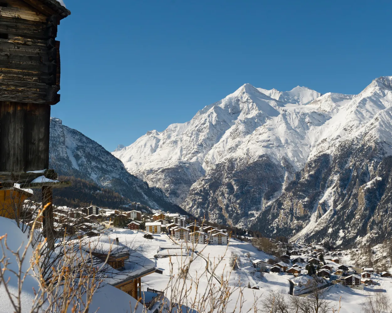
          The winter hiking trail is no longer in use and is not signposted. Plenty of sunshine and spectacular views of the Mattertal Valley and the surrounding four-thousand-metre peaks – this winter hike starts from Grächen and continues on a tarmac road past Hannigalp valley station and the chapel in Egga. In the forest, the route flattens out until the end destination of Bärgji-Alp.

          dist3 km
          |
          asce50 m
          |
          desc50 m
          |
          dura50m

            Tour published by:

            SwitzerlandMobility

            Learn more on
            schweizmobil.ch


            How to get to Bärgji-Weg

            Fastest connection from Zermatt to Grächen, Schmidji: 1h 2m
            R41 (40m)
            Walk from to
            551 (19m)
            Search Connections & Buy Tickets on SBB
            7/10

            Alpe-Äbnet-Waldrand-Weg

            Minimum travel time: 1h 3m to Grächen, Matten

            This family-friendly winter hike not only has magnificent views of the Matterhorn and other four-thousand-metre peaks, but also has a lot to offer culturally and historically. The trail leads along the edge of the forest and historic bisses to Alpe Äbnet. The Egga chapel offers insights into the village’s history.

            dist4 km
            |
            asce160 m
            |
            desc160 m
            |
            dura1h 30m
            • land

              Landscape: With panoramic views,Onto an alp

            Tour published by:

            SwitzerlandMobility

            Learn more on
            schweizmobil.ch


            How to get to Alpe-Äbnet-Waldrand-Weg

            Fastest connection from Zermatt to Grächen, Matten: 1h 3m
            R41 (40m)
            Walk from to
            551 (20m)
            Search Connections & Buy Tickets on SBB
            8/10

            Zermatt-Furi-Weg

            Minimum travel time: 1h 12m to Zermatt (Matterhorn Talstat.)

            A route full of charm, romance and authenticity. This winter hike that leads from Zermatt to Furi through the small village of Zmutt, where time seems to have stood still.

            dist5 km
            |
            asce360 m
            |
            desc120 m
            |
            dura2h 0m

              Tour published by:

              SwitzerlandMobility

              Learn more on
              schweizmobil.ch


              How to get to Zermatt-Furi-Weg

              Fastest connection from Zermatt to Zermatt (Matterhorn Talstat.): 1h 12m
              R40 (12m)
              R40 (12m)
              Walk from to
              Search Connections & Buy Tickets on SBB
              9/10

              Winter-Waldweg Bodmen

              Minimum travel time: 1h 55m to Saas-Almagell, Alpien

              A pleasant walk through the snow-bedecked larch forest between Saas-Fee and Saas-Almagell. The downhill gradient is almost always gentle, taking you past the Bodmen Forest House with its petting zoo. Ideal for families!

              dist6 km
              |
              asce160 m
              |
              desc160 m
              |
              dura2h 0m

                Tour published by:

                SwitzerlandMobility

                Learn more on
                schweizmobil.ch


                How to get to Winter-Waldweg Bodmen

                Fastest connection from Zermatt to Saas-Almagell, Alpien: 1h 55m
                R41 (59m)
                Walk from to
                511 (28m)
                643 (7m)
                Search Connections & Buy Tickets on SBB
                10/10

                Winterwanderweg Bettmersee-Gopplerlücke

                Minimum travel time: 1h 57m to Riederalp Mitte

                Relaxing winter hike with a view – there are no challenging ascents to overcome on this tour. Nevertheless, it offers magnificent views across the sunny plateau and the Valais mountains, including the Matterhorn.

                dist6 km
                |
                asce220 m
                |
                desc240 m
                |
                dura2h 0m

                  Tour published by:

                  SwitzerlandMobility

                  Learn more on
                  schweizmobil.ch


                  How to get to Winterwanderweg Bettmersee-Gopplerlücke

                  Fastest connection from Zermatt to Riederalp Mitte: 1h 57m
                  GEX (1h 14m)
                  EXT (10m)
                  Walk from to
                  A3 (10m)
                  Search Connections & Buy Tickets on SBB